Fort Bowie National Historic Site
Arizona
Tonight
🌔 74% moon
9.1 h fully dark
Crowds
low
Entrance
Free entry
Butterfield Trail closed to horses and pack animals.
The trail remains open for hiking and foot traffic. For more information, see our policy page.
Official NPS alert →Fort Bowie Visitor Center Bookstore is now cashless!
For your convenience, we accept all major credit and debit cards, as well as mobile payment options. Electronic payment reduces transaction times, save money, and improves accountability. Thank you for your understanding and continued support!
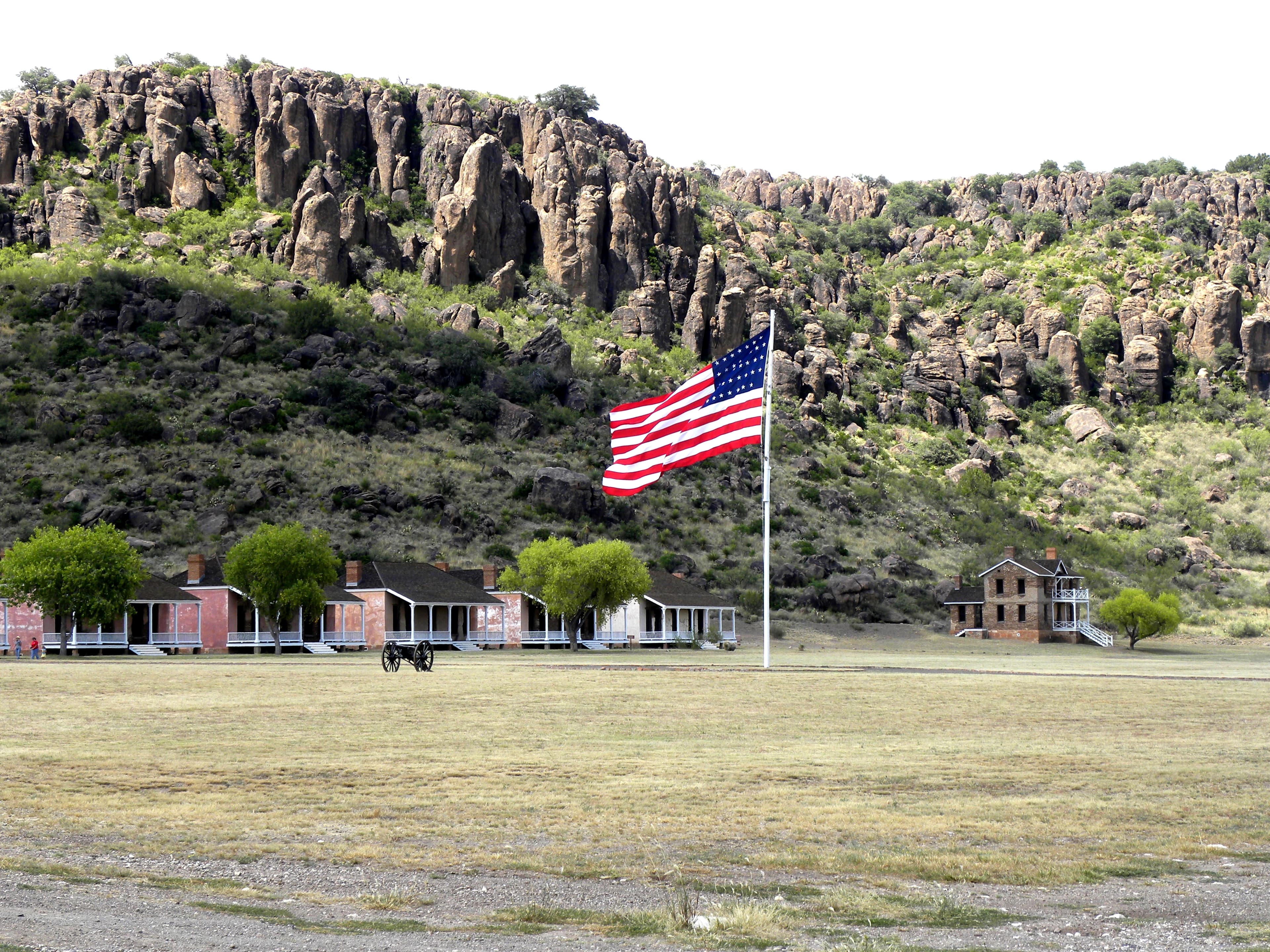
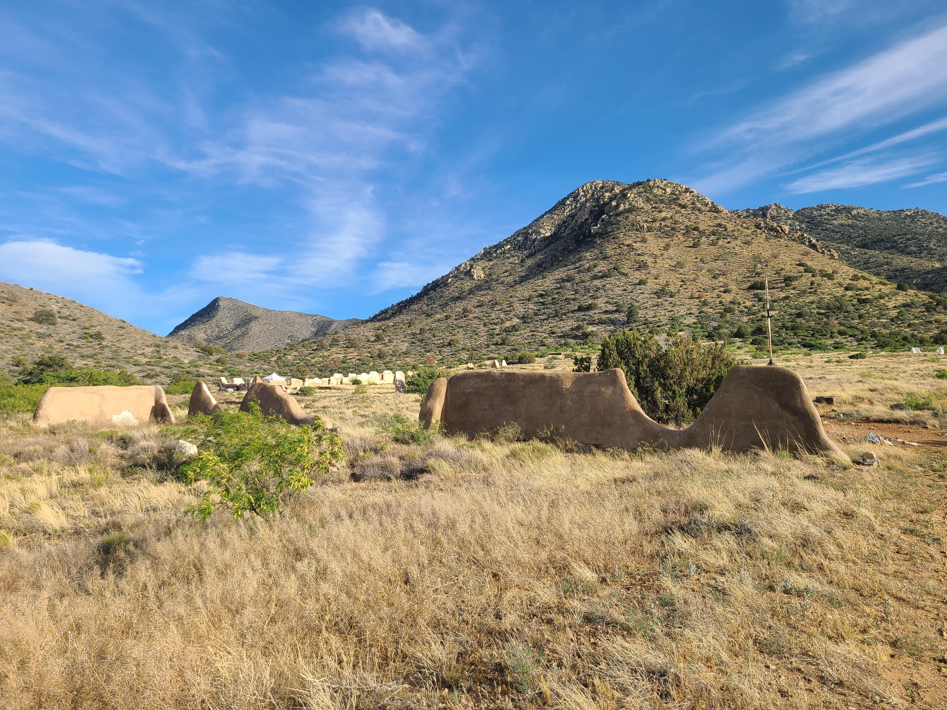
Official NPS alert →For nearly 25 years, Fort Bowie stood at the crossroads of the Chiricahua Apache's fight to defend their ancestral homeland and the U.S. Army's westward expansion. Today, visitors embark on a 3-mile scenic loop trail traversing the ground where this profound cultural collision forever altered the course of both American and Indigenous history.
Activities
Topics
No entrance fee.
Hours & seasons
The Historic Site trails and ruins are open every day from sunrise to sunset. Please see Visitor Center tab for museum and visitor center hours.
Hours are reported by the park — verify before you go.
📞 520-549-6751
✉ chir_info@nps.govConditions
Quietest months (fewer crowds): Jun, Jul, Aug, Sep
Typical crowds: low
Weather now: ☀️ Clear, 76°F
⛅ 86°/67°
☁️ 88°/68°
🌦️ 77°/63°
Typical monthly recreation visits · NPS avg 2023–2025 — orange months are the quietest by crowds.
Quietest months
Relative crowds by month — lighter is quieter; ringed months are the calmest by crowds.
Jan
58%
Feb
68%
Mar
100%
Apr
62%
May
31%
Jun
19%
Jul
14%
Aug
8%
Sep
26%
Oct
40%
Nov
58%
Dec
57%
Log a sky reading
Measured the sky with an SQM meter or app? Add your reading (16 = city glow … 22 = pristine). Opt in under “Travelers like you” to share it on the community leaderboard.
Things to do
Birding at Fort Bowie
Fort Bowie Junior Ranger Program
Visitor centers
Fort Bowie National Historic Site Visitor Center
Accessibility
Reported by the park — verify before you go.
Not an official safety source — always defer to NPS.gov and rangers for life-safety decisions.
By the numbers
A visual read on Fort Bowie National Historic Site — its character, trails, sky, and weather.
Park fingerprint
How this park scores across the dimensions travelers care about.
Trail difficulty
Difficulty mix across this park's trails.
3-day forecast
Daily high and low temperatures (°F).
People & stories
Figures tied to Fort Bowie National Historic Site — each spans a cross-park journey.
Augustus Snoten
— Military, Veterans, Buffalo SoldierBenjamin Brown
— Buffalo Soldier, Buffalo Soldiers, Power BusoGeorge Crook
— Military, Civil War, Indian WarsPassport stamps
Mark the stamps you've collected — they show in your memory and along your routes.
🎫 Fort Bowie National Historic Site Visitor Center
Audio & media
🎧
🎬
🖼
Learn more
When the climate changes enough, the vegetation communities growing in any given place will also change. Under an expanded bimodal climate zone, some plant communities in western national parks are more likely to change than others. National Park Service ecologists and partners investigated the future conditions that may force some of this change. Having this information can help park managers decide whether to resist, direct, or accept the change.
To protect soldiers and settlers traveling through the pass and to better execute the military operations against the Apache warriors, the US Army established a fort that would become the guardian of Apache Pass. Today, Fort Bowie National Historic Site commemorates the bravery and endurance of the US soldiers in their struggle to control the region and of the Apache warriors who fought to preserve their existence.
Across the US, changes in water availability are altering which plants grow where. These changes are evident at a broad scale. But not all areas experience the same climate in the same way, even within the boundaries of a single national park. A new dataset gives park managers a valuable tool for understanding why vegetation has changed and how it might change in the future under different climate-change scenarios.
Climate is one of many ecological indicators monitored by the National Park Service (NPS) Division of Inventory & Monitoring (I&M). Climate data help scientists to understand ecosystem processes and help to explain many of the patterns and trends observed in other natural-resource monitoring. In NPS units of the American Southwest, three I&M networks monitor climate using the scientific protocol described here.
Understanding changes in climate and water is key to assessing the condition of natural and cultural resources on national parks. At Fort Bowie National Historic Site, we conduct long-term monitoring of climate and groundwater to provide early warning of potential problems, allowing managers to mitigate them before they become worse. In this report, we present climate and groundwater data for water year 2024.
In the national parks of Southeast Arizona, desert plants, wildlife, and visitors all depend on reliable water sources. The Sonoran Desert Network monitors climate, springs, and streams at Chiricahua National Monument, Coronado National Memorial, and Fort Bowie National Historic Site. Understanding changes in these closely linked factors helps managers make informed decisions affecting natural resources. Learn about our recent findings.
Understanding changes in climate, groundwater, and surface water is key to assessing the condition of natural and cultural resources on national parks. At Fort Bowie National Historic Site we conduct long-term monitoring of climate, groundwater, and springs to provide early warning of potential problems, allowing managers to mitigate them before they become worse. In water year 2022, precipitation was boosted by an above average monsoon season.
The National Park Service is implementing the restoration of native amphibians in over 20 sensitive wetlands across eight southwestern national parks. However, there's a particular threat (that croaks) that requires the NPS and partners to collaborate and innovate to find solutions.
How Fort Bowie National Historic Site connects
This park's activities, topics, location, and on-the-ground places — one hop in the graph. Drag to explore; click an activity, topic, or related park to follow it.
Park
Activity
Topic
State
VisitorCenter
PassportStamp
Trail
ThingToDo
Alert
Similar parks
Share activities & topics with Fort Bowie National Historic Site.