Coronado National Memorial
Arizona
Tonight
🌓 65% moon
9.1 h fully dark
Crowds
low
Entrance
Free entry
Yaqui Ridge Trail Closure
Due to nearby construction and blasting, the 1-mile Yaqui Ridge Trail is closed starting April 13, 2026 until further notice to ensure visitor safety. The closure begins at the junction with Joe’s Canyon Trail, and access beyond this point is not permitted. This affects access to the southern terminus of the Arizona National Scenic Trail.
Blasting in Memorial
Blasting activity is occurring in the Coronado National Forest, Huachuca Mountains, and within Coronado National Memorial. Visitors may hear loud noise and notice dust in the air.
Be Aware of Illegal Traffic
Smuggling and/or illegal entry is common in this area due to the proximity of the international border. Please be aware of your surroundings at all times and do not travel alone in remote areas.
Official NPS alert →It was a journey of conquest filled with exploration, wonder - and cruelty. Inspired by tales of vast cities of gold, 339 European soldiers and over a thousand Aztec allies embarked on an epic journey through arid deserts and rugged mountains. They encountered rich traditions and brought new technologies. The resulting collision and combination of cultures reverberates today.
Activities
Topics
No entrance fee.
Hours & seasons
Coronado National Memorial is a day use park. The trails, picnic area, waysides, and Montezuma Pass overlook are open each day from one half hour before sunrise to one half hour after sunset.
Hours are reported by the park — verify before you go.
📞 5203665515
✉ coro_interpretation@nps.govConditions
Typical crowds: low
Weather now: ☀️ Clear, 66°F
☁️ 83°/66°
☁️ 81°/65°
🌦️ 75°/61°
Typical monthly recreation visits · NPS avg 2023–2025 — orange months are the quietest by crowds.
Quietest months
Relative crowds by month — lighter is quieter; ringed months are the calmest by crowds.
Jan
80%
Feb
84%
Mar
100%
Apr
80%
May
67%
Jun
60%
Jul
64%
Aug
70%
Sep
71%
Oct
75%
Nov
90%
Dec
93%
Log a sky reading
Measured the sky with an SQM meter or app? Add your reading (16 = city glow … 22 = pristine). Opt in under “Travelers like you” to share it on the community leaderboard.
Things to do
Visit Coronado Visitor Center
Birding at Coronado
Visit Coronado Cave · 25 mi · 600 ft gain
Visitor centers
Coronado National Memorial Visitor Center
Accessibility
10 audio-described place(s)
Reported by the park — verify before you go.
Not an official safety source — always defer to NPS.gov and rangers for life-safety decisions.
By the numbers
A visual read on Coronado National Memorial — its character, trails, sky, and weather.
Park fingerprint
How this park scores across the dimensions travelers care about.
Trail difficulty
Difficulty mix across this park's trails.
Trail profile
Each dot is a trail — distance vs. elevation gain, by difficulty.
3-day forecast
Daily high and low temperatures (°F).
People & stories
Figures tied to Coronado National Memorial — each spans a cross-park journey.
Grace Sparkes
— Women's History, Women Of The NPS, Historic Women Of The NPSPassport stamps
Mark the stamps you've collected — they show in your memory and along your routes.
🎫 Coronado National Memorial Visitor Center
Places to see
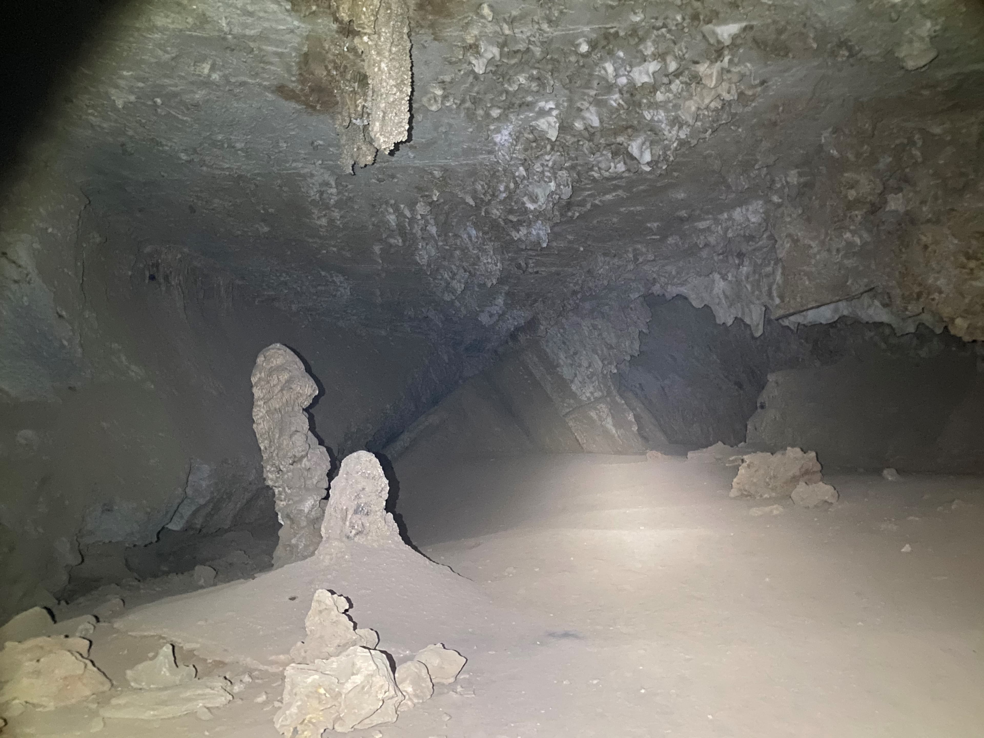
Coronado Cave
audio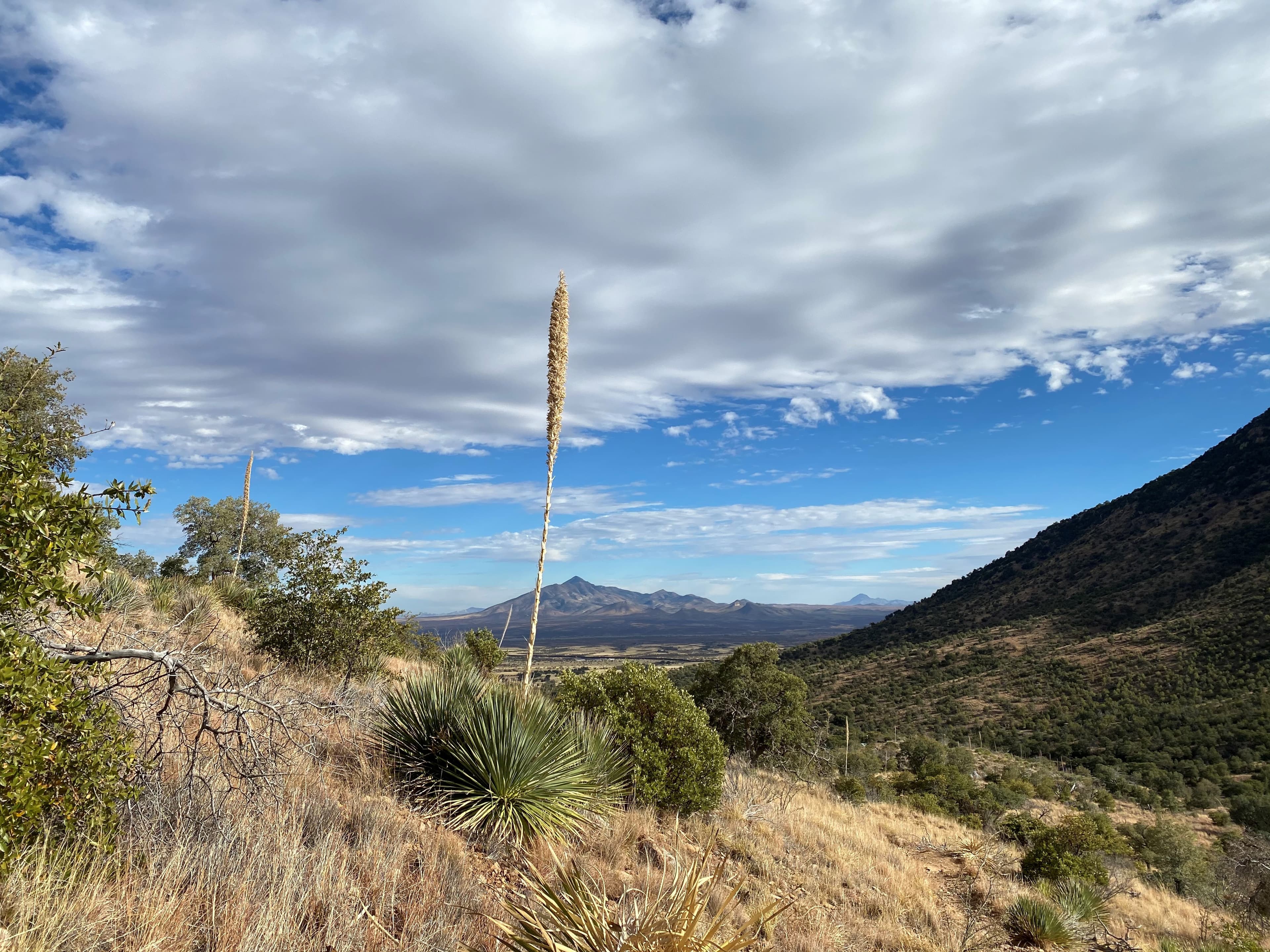
Coronado Cave Trail
audio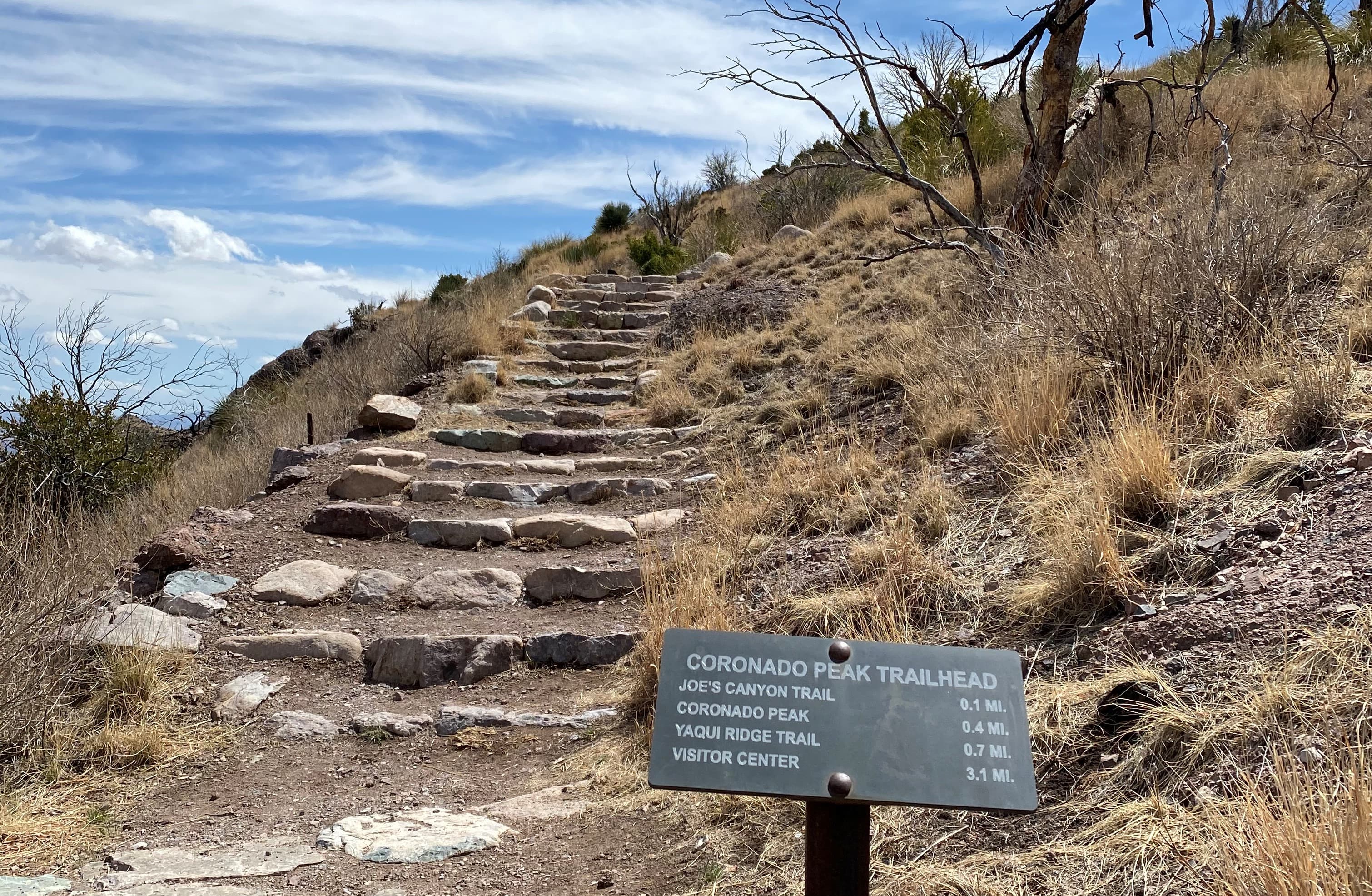
Coronado Peak Trail
audio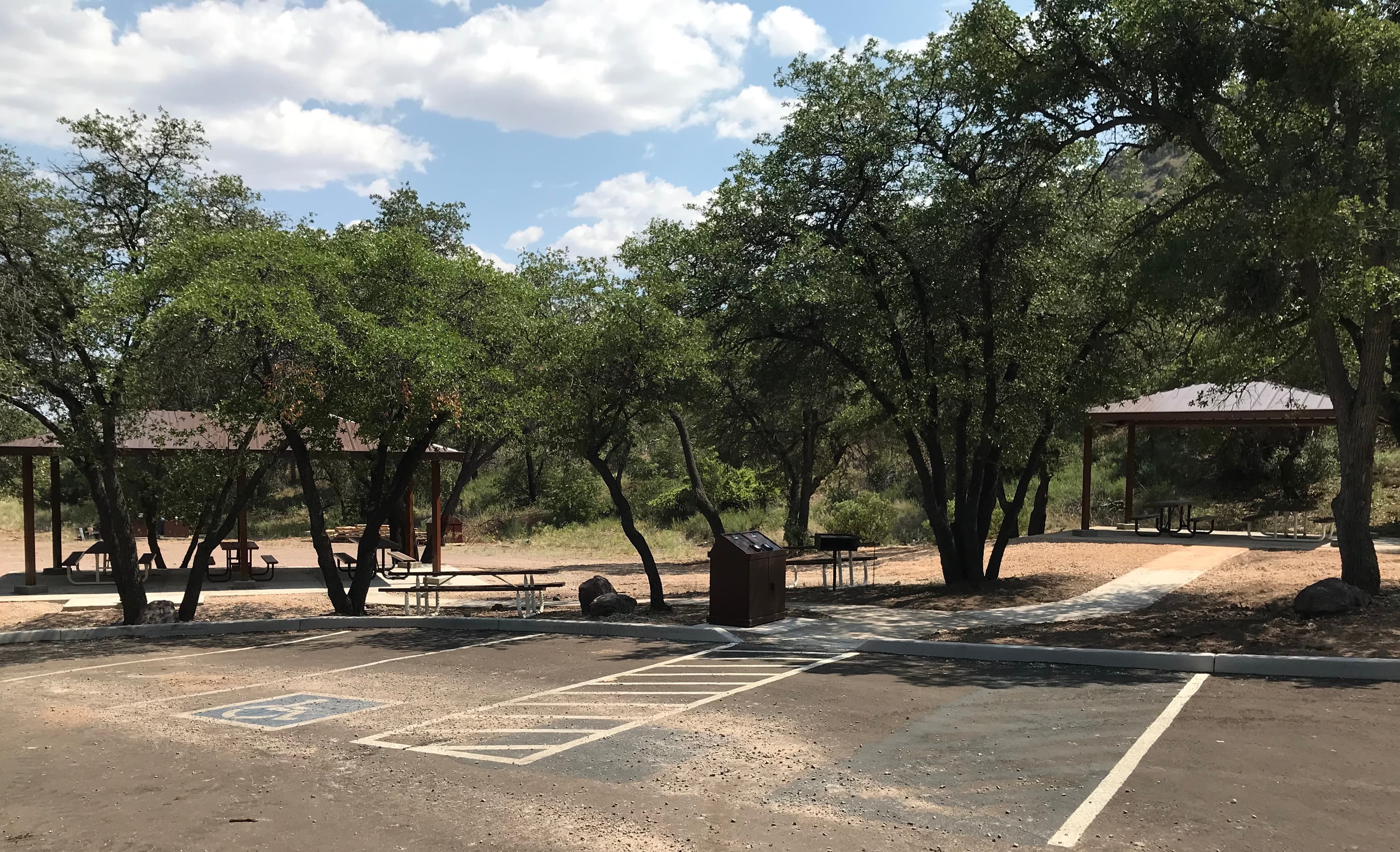
Coronado Picnic Area
audio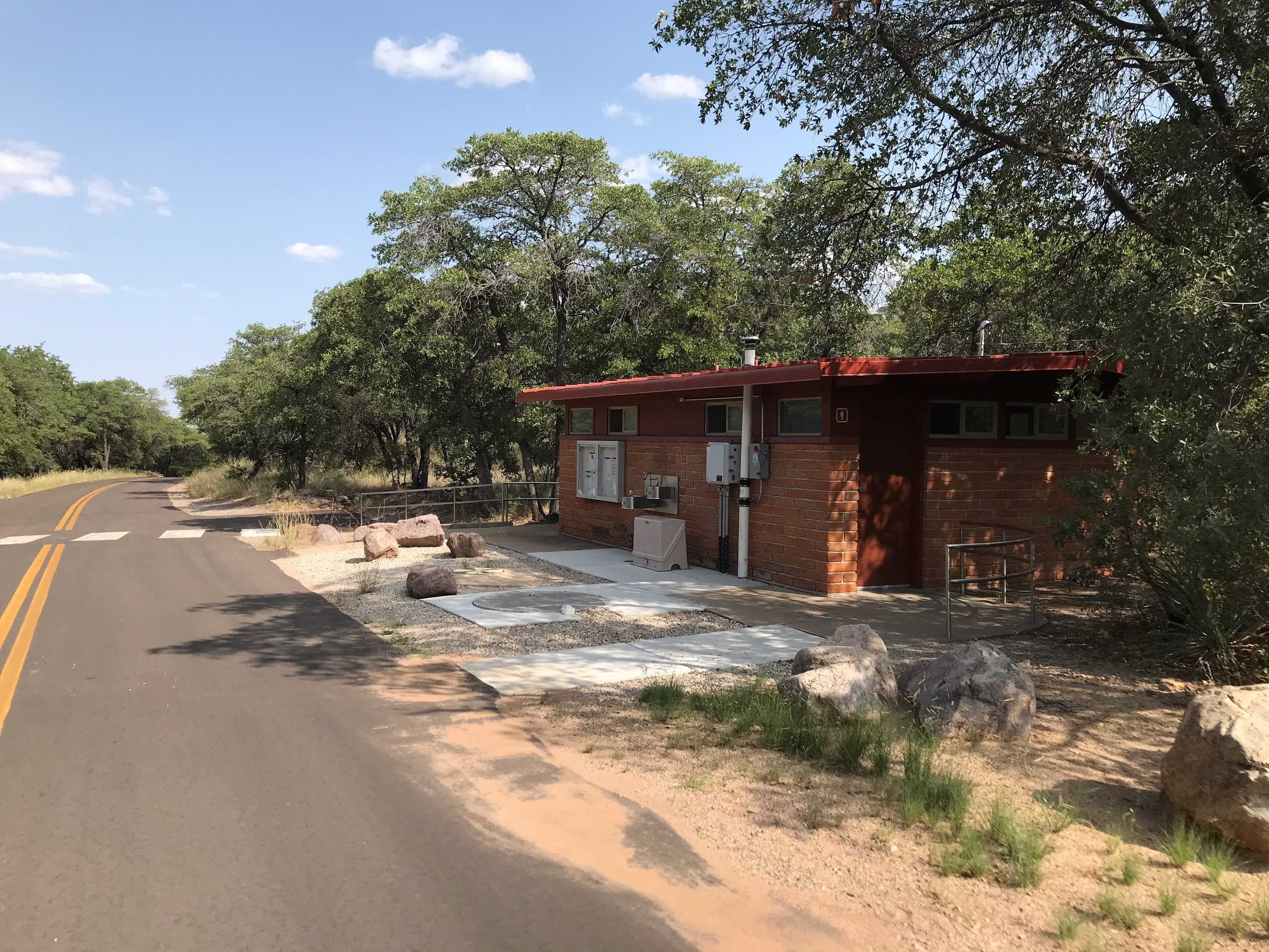
Coronado Picnic Area Restrooms
audio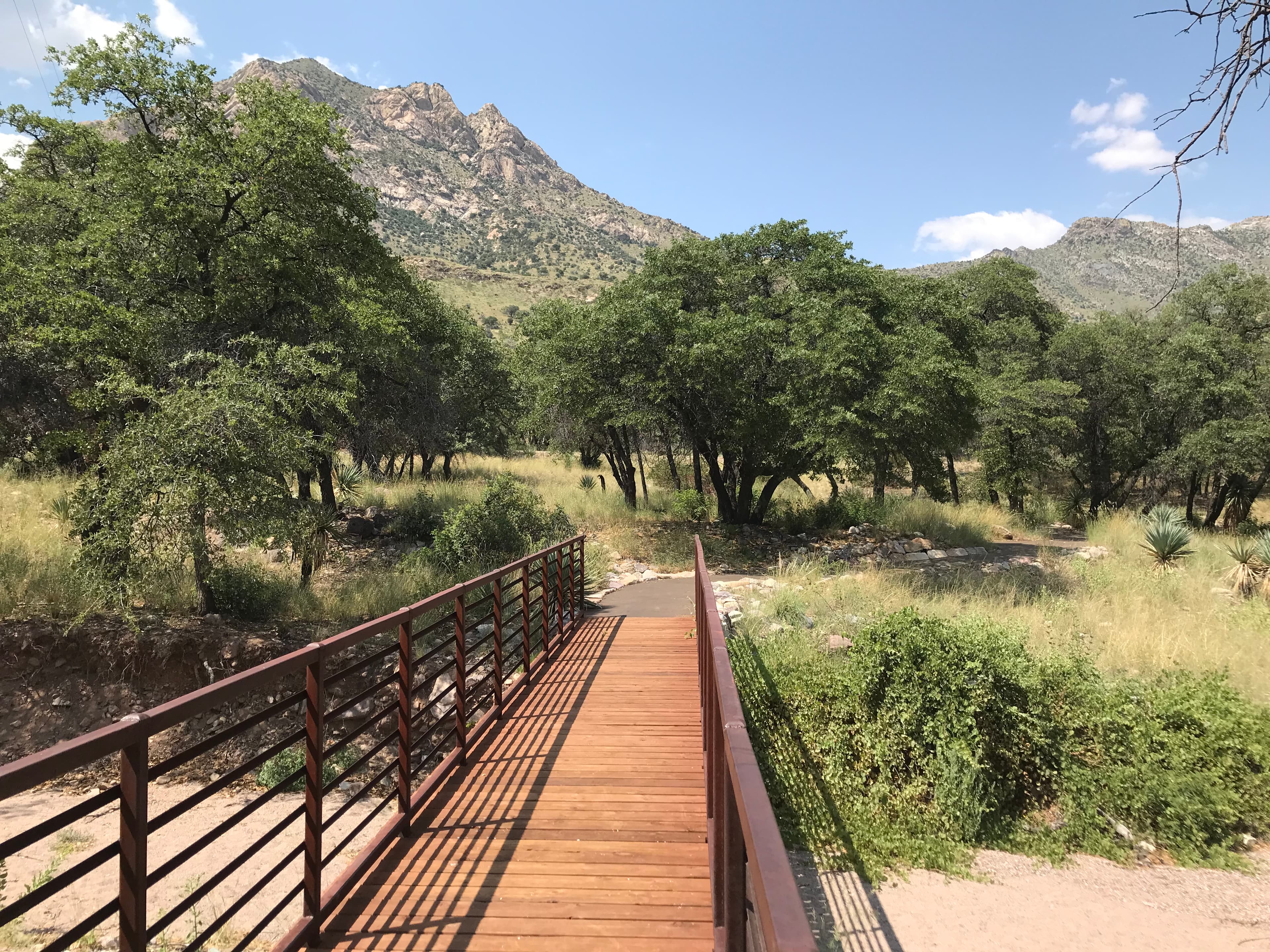
Coronado Picnic Trail
audio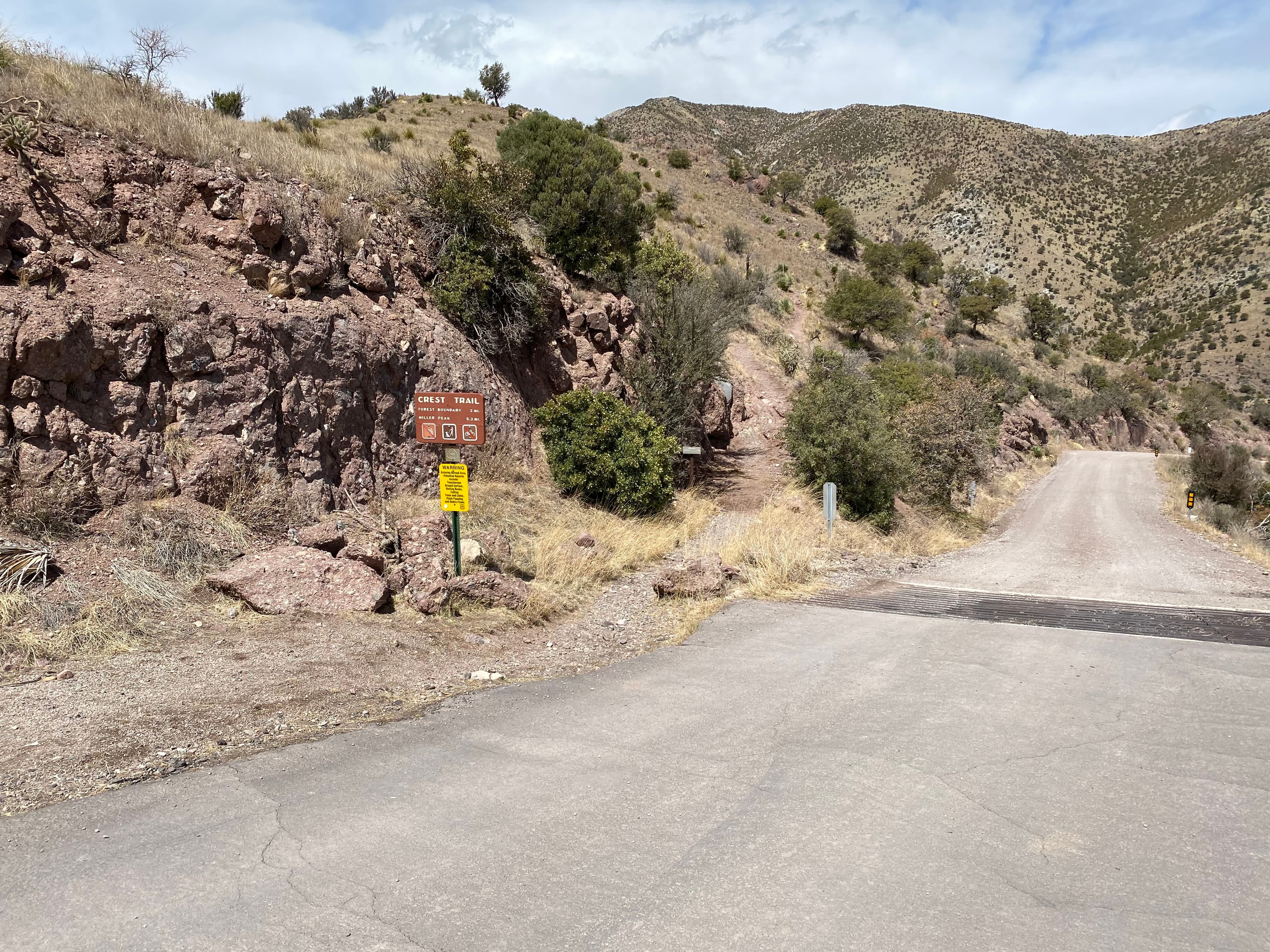
Crest Trail
audio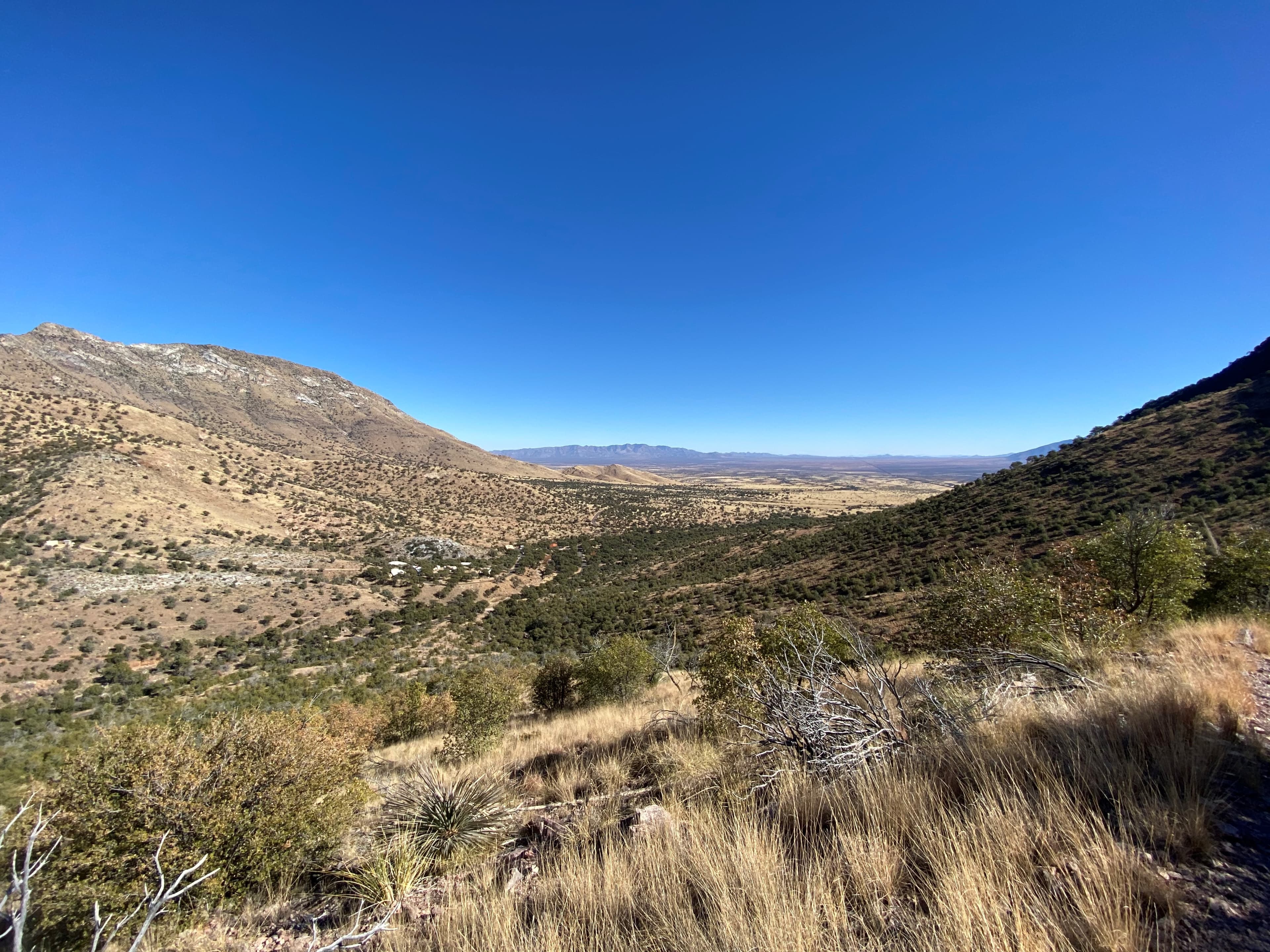
Joe's Canyon Trail
audio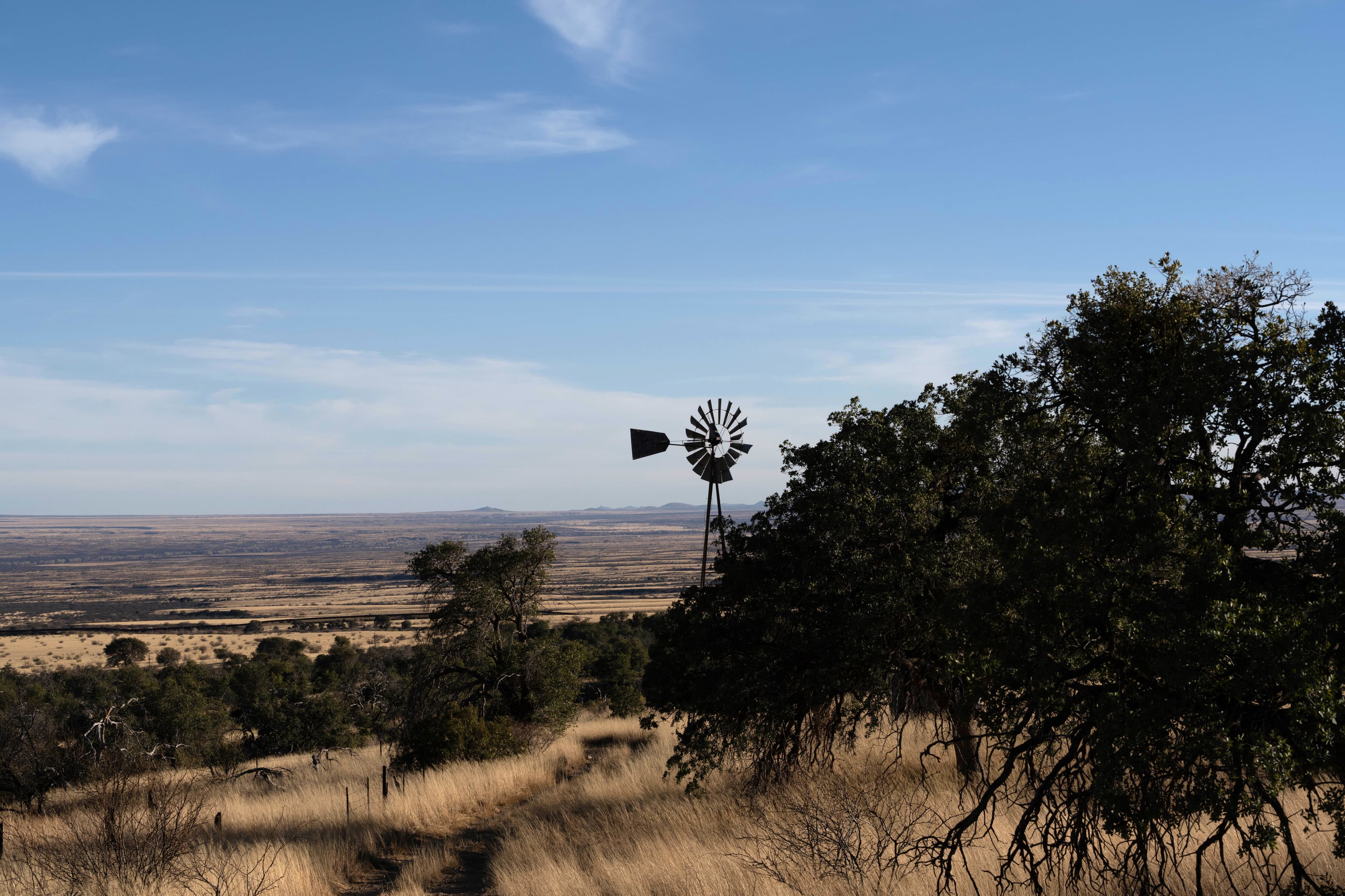
Windmill Trail
audio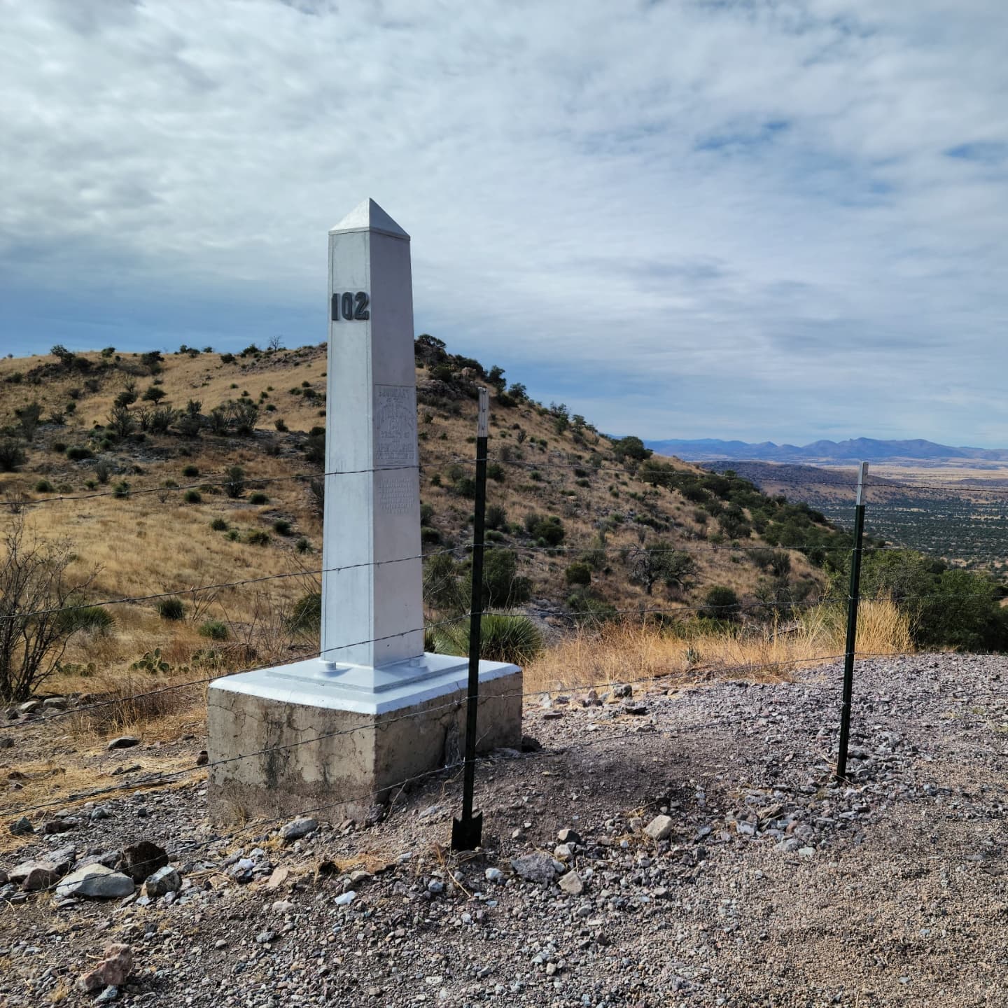
Yaqui Ridge Trail
audioAudio & media
🎧
🎬
🖼
Learn more
Meet the national and regional winners of the 2017 Freeman Tilden Award; the National Park Service's highest award for excellence in interpretation.
When the climate changes enough, the vegetation communities growing in any given place will also change. Under an expanded bimodal climate zone, some plant communities in western national parks are more likely to change than others. National Park Service ecologists and partners investigated the future conditions that may force some of this change. Having this information can help park managers decide whether to resist, direct, or accept the change.
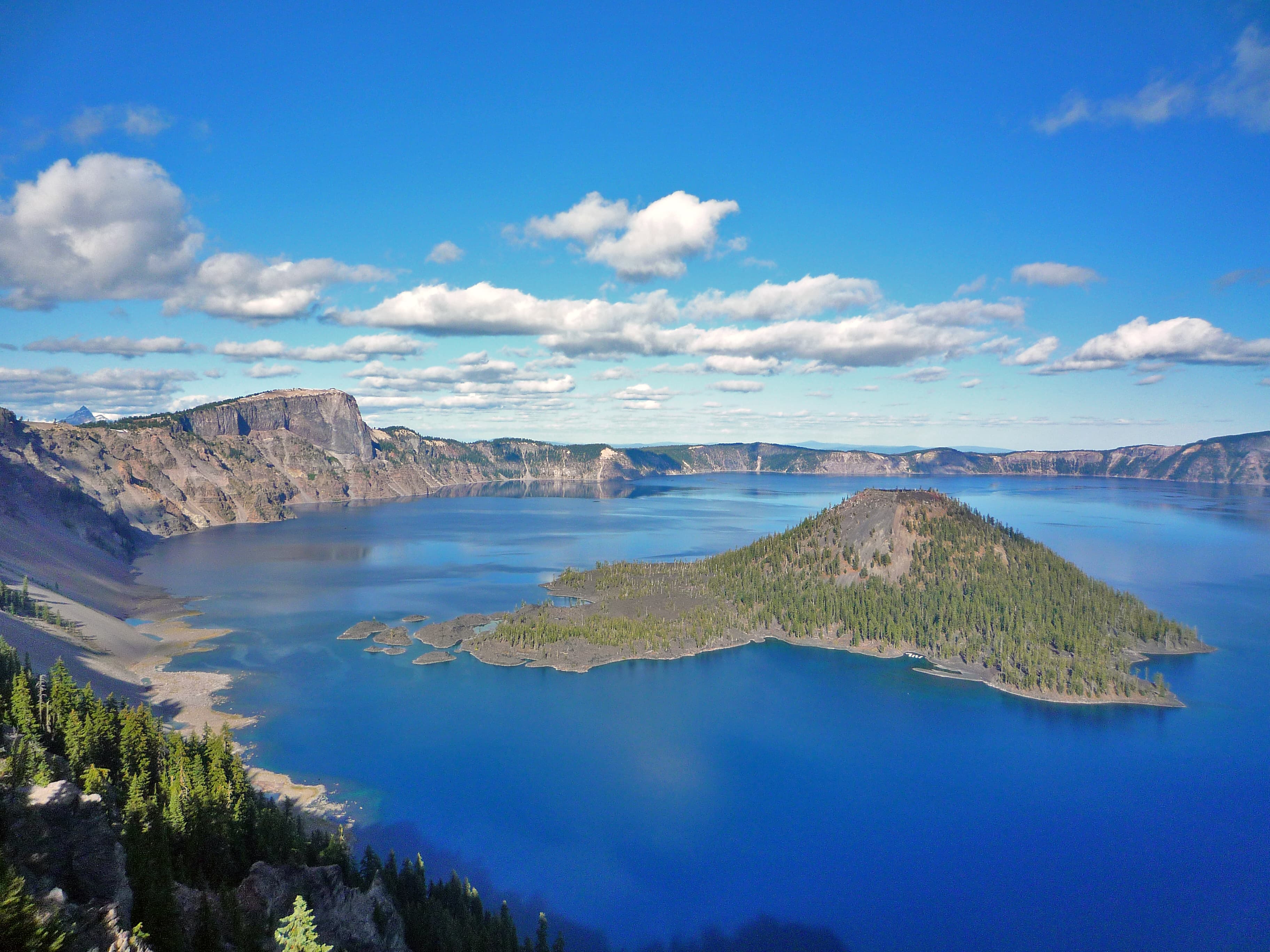
Calderas are large collapse features that can be many miles in diameter. They form during especially large eruptions when the magma chamber is partially emptied, and the ground above it collapses into the momentary void. Crater Lake and Aniakchak Crater are calderas.
Across the US, changes in water availability are altering which plants grow where. These changes are evident at a broad scale. But not all areas experience the same climate in the same way, even within the boundaries of a single national park. A new dataset gives park managers a valuable tool for understanding why vegetation has changed and how it might change in the future under different climate-change scenarios.
Climate is one of many ecological indicators monitored by the National Park Service (NPS) Division of Inventory & Monitoring (I&M). Climate data help scientists to understand ecosystem processes and help to explain many of the patterns and trends observed in other natural-resource monitoring. In NPS units of the American Southwest, three I&M networks monitor climate using the scientific protocol described here.
Sonoran Desert Network scientists monitor climate and groundwater in Coronado National Memorial at a weather station that has been operational since 1960 and in five groundwater wells on the park. By taking measurements of these key resources each year, we can better understand how they may be changing over time. This information helps park managers protect key resources. This report summarizes Water Year 2024 climate and groundwater data.
In the national parks of Southeast Arizona, desert plants, wildlife, and visitors all depend on reliable water sources. The Sonoran Desert Network monitors climate, springs, and streams at Chiricahua National Monument, Coronado National Memorial, and Fort Bowie National Historic Site. Understanding changes in these closely linked factors helps managers make informed decisions affecting natural resources. Learn about our recent findings.
At Coronado National Memorial, desert plants, wildlife, and visitors all depend on reliable water sources. The Sonoran Desert Network monitors climate, groundwater, and springs at the memorial. Understanding changes in these closely linked factors helps managers make informed decisions affecting natural resources. Learn about our recent findings.
How Coronado National Memorial connects
This park's activities, topics, location, and on-the-ground places — one hop in the graph. Drag to explore; click an activity, topic, or related park to follow it.
Park
Activity
Topic
State
VisitorCenter
PassportStamp
Trail
ThingToDo
Alert
Similar parks
Share activities & topics with Coronado National Memorial.