Mojave National Preserve
California
Tonight
🌓 65% moon
9 h fully dark
Hikes
Easy–Strenuous
🟢 🔴
Crowds
low
Open today
Open
Entrance
Free entry
Fire restrictions in place
Fire restrictions are in place at Mojave National Preserve and Castle Mountains National Monument. Wood and charcoal fires are not permitted. Most camp stoves are. See fire restriction order for additional details.
Official NPS alert →Hart Mine Road Closed
Hart Mine Road Closed.
NPS Visitor Wifi
Visitor wifi and wifi calling is now available in The Kelso Depot parking lot for calls including emergencies. Go to the bulletin board at the Kelso Depot restrooms for instructions.
Delays up to 1 hour are possible at Kelbaker Road Railroad Crossing near Kelso Depot
In the event there are train siding operations at the crossing near Kelso Depot, delays may be up to one hour. Please plan accordingly for this possibility with extra fuel and drinking water. Union Pacific Contact: 1 800 848-8715
Kelso Depot Visitor Center closed
Kelso Depot Visitor Center is closed for rehabilitation of the heating and cooling system. We expect to reopen the depot in 2026. The restrooms beside the depot are open.
Use caution on Cima Road
Use caution on Cima Road due to shoulder washouts.
Official NPS alert →Rough and damaged roads
Drive slowly and exercise due caution when driving in Mojave National Preserve. Rough and damaged roads exist on both paved and unpaved roads. Watch for potholes.
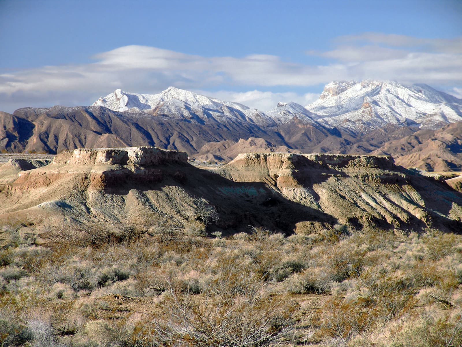
Official NPS alert →Mojave preserves a diverse mosaic of ecological habitats and a 10,000 year history of human connection with the desert. Offering extensive opportunities to experience desert landscapes, the preserve promotes understanding and appreciation for the increasingly threatened resources of the Mojave Desert. This remote preserve encourages a sense of discovery and a connection to wild places.
Activities
Topics
No entrance fee.
Hours & seasons
Outdoor areas of the Mojave National Preserve including trails, roads, campgrounds are OPEN 24 hours a day, 365 days per year. Be sure to check Alerts and Conditions for any temporary closures.
Generally open:
winterspringsummerfallHours are reported by the park — verify before you go.
📞 (760) 252-6100
✉ moja_info@nps.govConditions
Quietest months (fewer crowds): Aug, Sep
Typical crowds: low
Weather now: ☁️ Overcast, 86°F
☁️ 89°/68°
☁️ 86°/70°
☀️ 83°/64°
Typical monthly recreation visits · NPS avg 2023–2025 — orange months are the quietest by crowds.
Quietest months
Relative crowds by month — lighter is quieter; ringed months are the calmest by crowds.
Jan
82%
Feb
68%
Mar
72%
Apr
100%
May
69%
Jun
63%
Jul
62%
Aug
47%
Sep
37%
Oct
64%
Nov
90%
Dec
66%
Log a sky reading
Measured the sky with an SQM meter or app? Add your reading (16 = city glow … 22 = pristine). Opt in under “Travelers like you” to share it on the community leaderboard.
Things to do
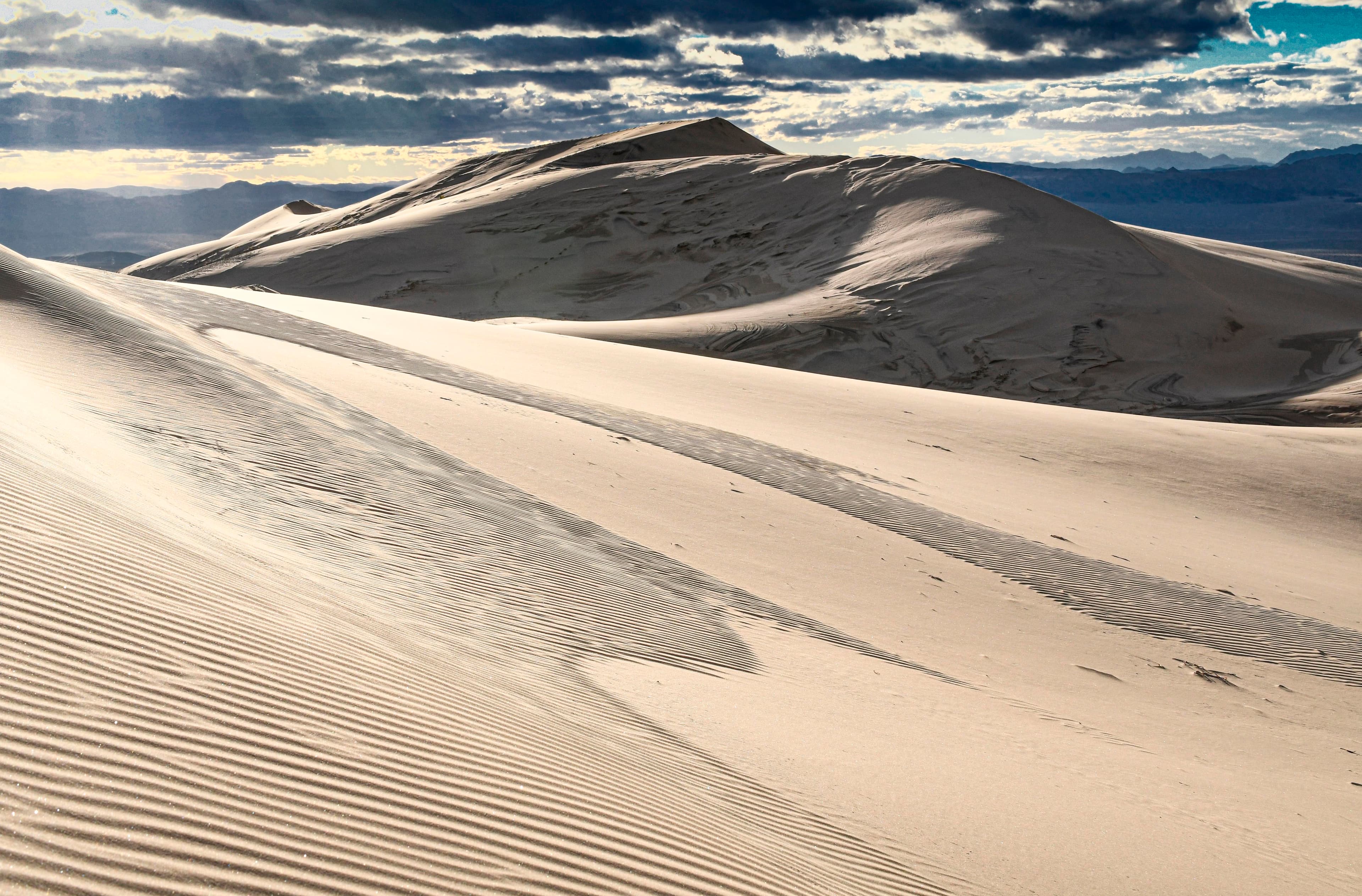
Hike the Kelso Dunes · Hikers can choose their own length and adventure. The maintained trail to the first set of low sand dunes takes about 30 mintues round trip. For hikers that want to hike up the undulating sand slopes and reach the highest point, allow 2- 3 hours round trip. The summit looks deceptively closer than it actually is from the trailhead. Carrying ample water, and avoid hiking in midday sun on hot days is essential to your safety.
🔴 Hike the Rings Loop · 1.5 mi
Visit Kelso Depot
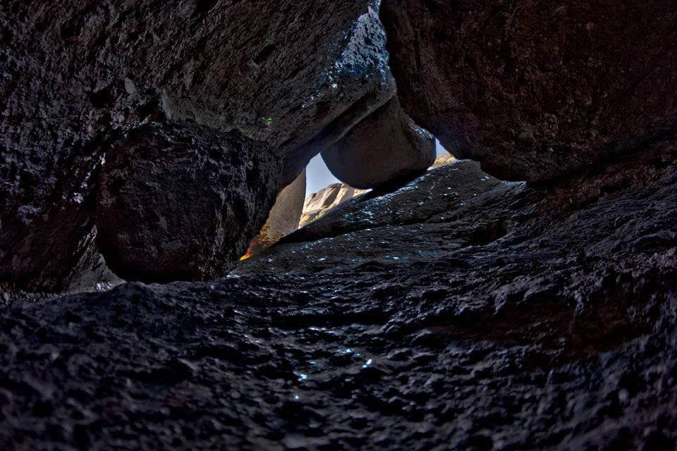
Visit a Lava Tube · The hike from the parking area to the lava tube takes 5-10 minutes, and the tube itself is only about 50 feet long. If visitors desire a longer trip, they are welcome to wander around anywhere they want in the volcano field. The whole area is congressionally designated wilderness, and pedestrian traffic is allowed to walk freely.
Teutonia Peak trail · For most people, a trip all the way to the top and back takes about 3 hours.
🔴 Hike Desert Sand Dunes · 650 ft gain · Hiking uphill in sand can be difficult. Plan for more time if needed.
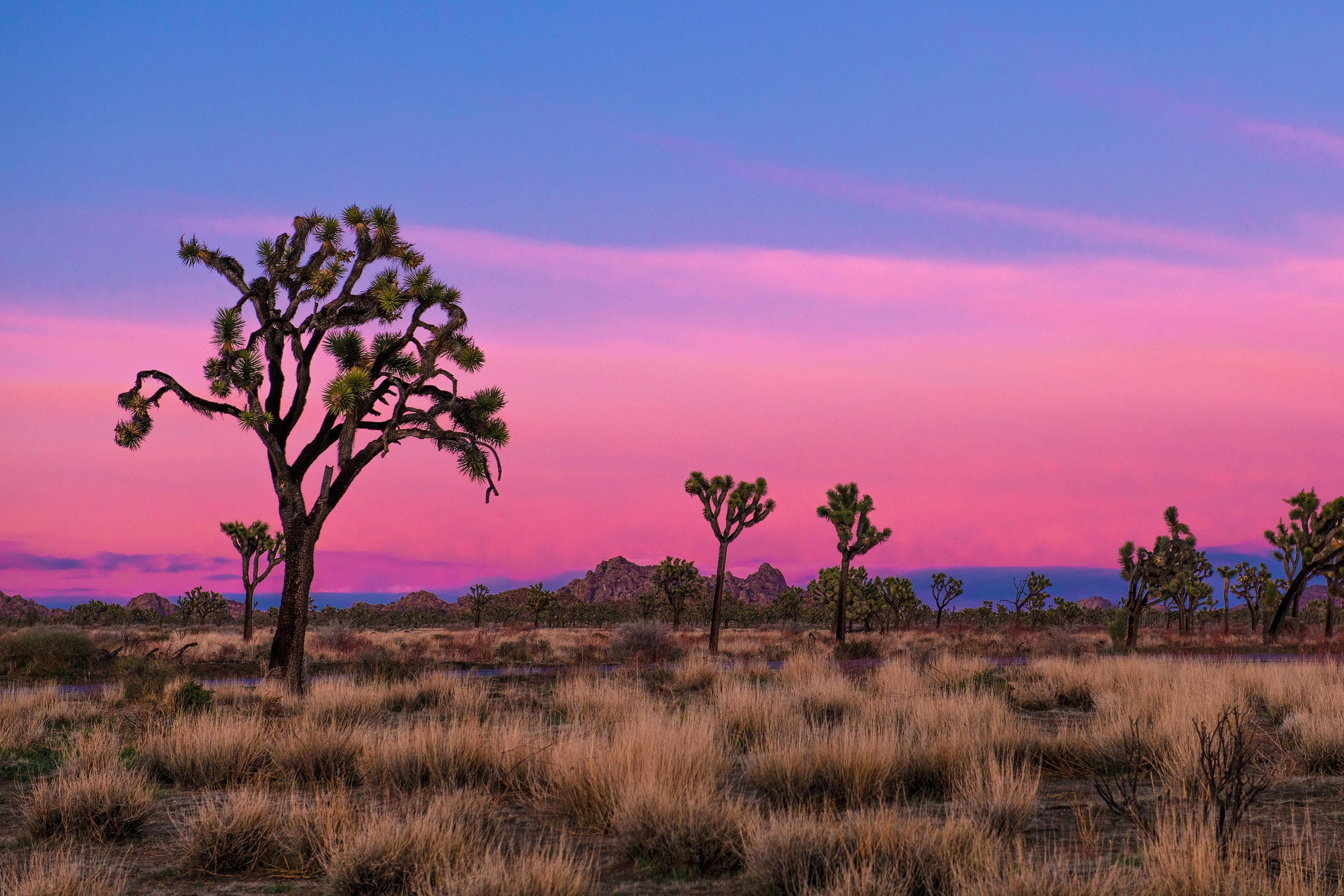
Wander Through the Joshua Trees
🟢 Behold the Granite Mountains
Campgrounds
Black Canyon Group and Equestrian Campground ↗ · 2 sites
Hole-in-the-Wall Campground ↗ · 38 sites · dump station
Mid Hills Campground ↗ · 26 sites
Visitor centers
Barstow Headquarters Information Desk
Hole-in-the-Wall Visitor Center
Kelso Depot Visitor Center
Accessibility
3 accessible campground(s)
6 audio-described place(s)
Reported by the park — verify before you go.
Parking
Kelso Depot · 40 accessible spacesaccessible
Not an official safety source — always defer to NPS.gov and rangers for life-safety decisions.
By the numbers
A visual read on Mojave National Preserve — its character, trails, sky, and weather.
Park fingerprint
How this park scores across the dimensions travelers care about.
Trail difficulty
Difficulty mix across this park's trails.
3-day forecast
Daily high and low temperatures (°F).
People & stories
Figures tied to Mojave National Preserve — each spans a cross-park journey.
Mary Martin
— Woman Ranger, Women's History, SuperintendentPassport stamps
Mark the stamps you've collected — they show in your memory and along your routes.
🎫 Barstow Headquarters
🎫 Barstow Headquarters Information Desk
🎫 Hole-in-the-Wall Visitor Center
Places to see
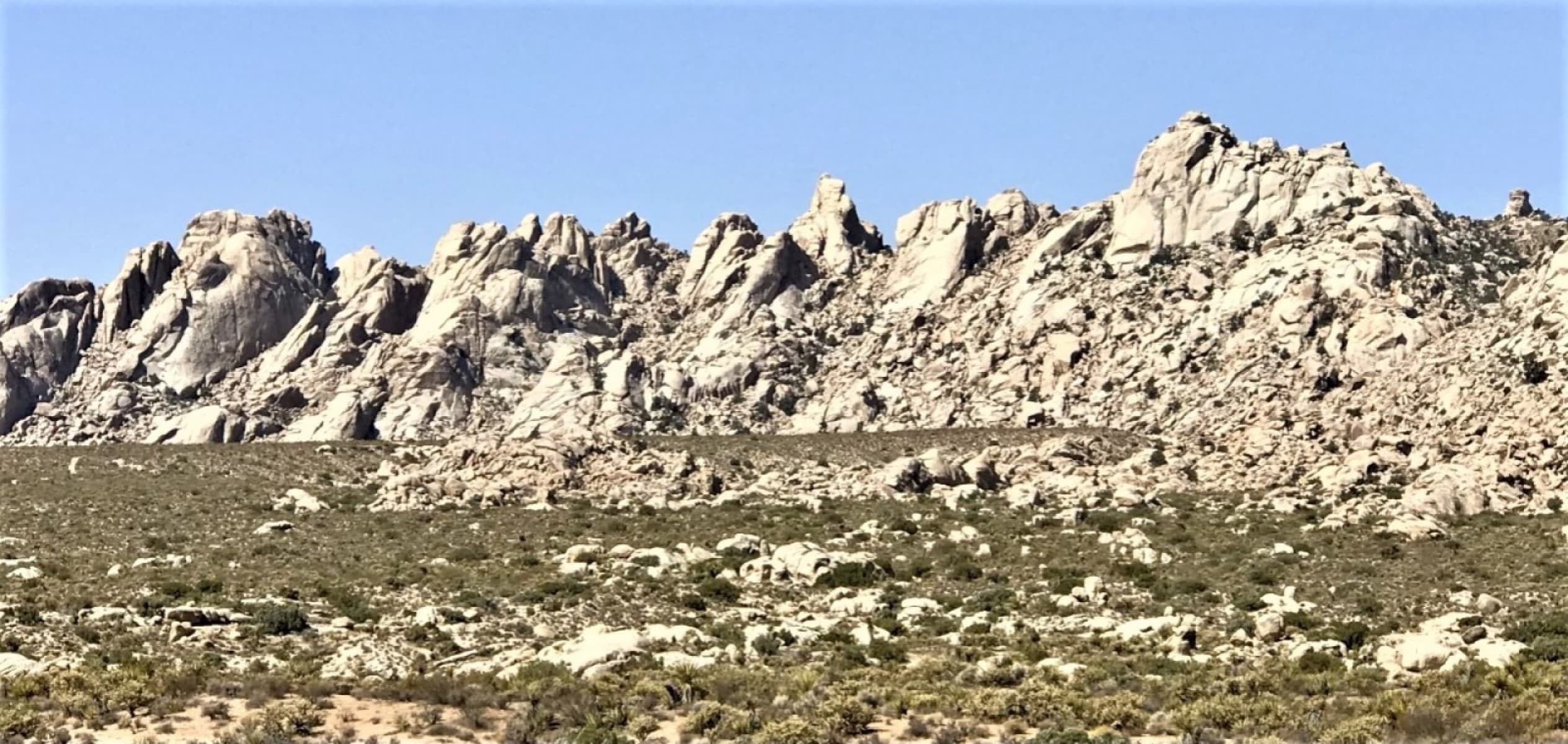
Boulders Viewpoint Area
audio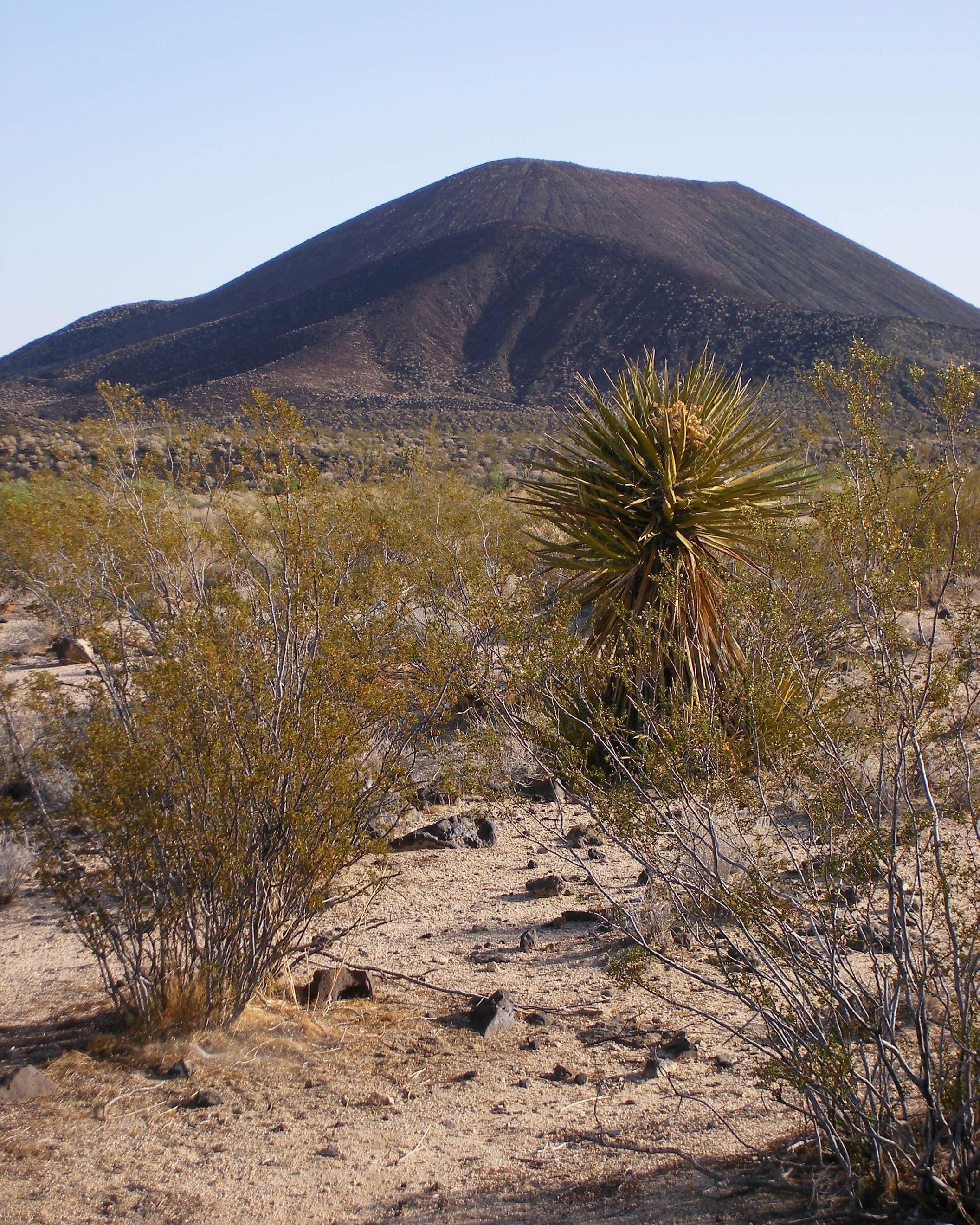
California| Mojave National Preserve Lanfair Settlement Archive
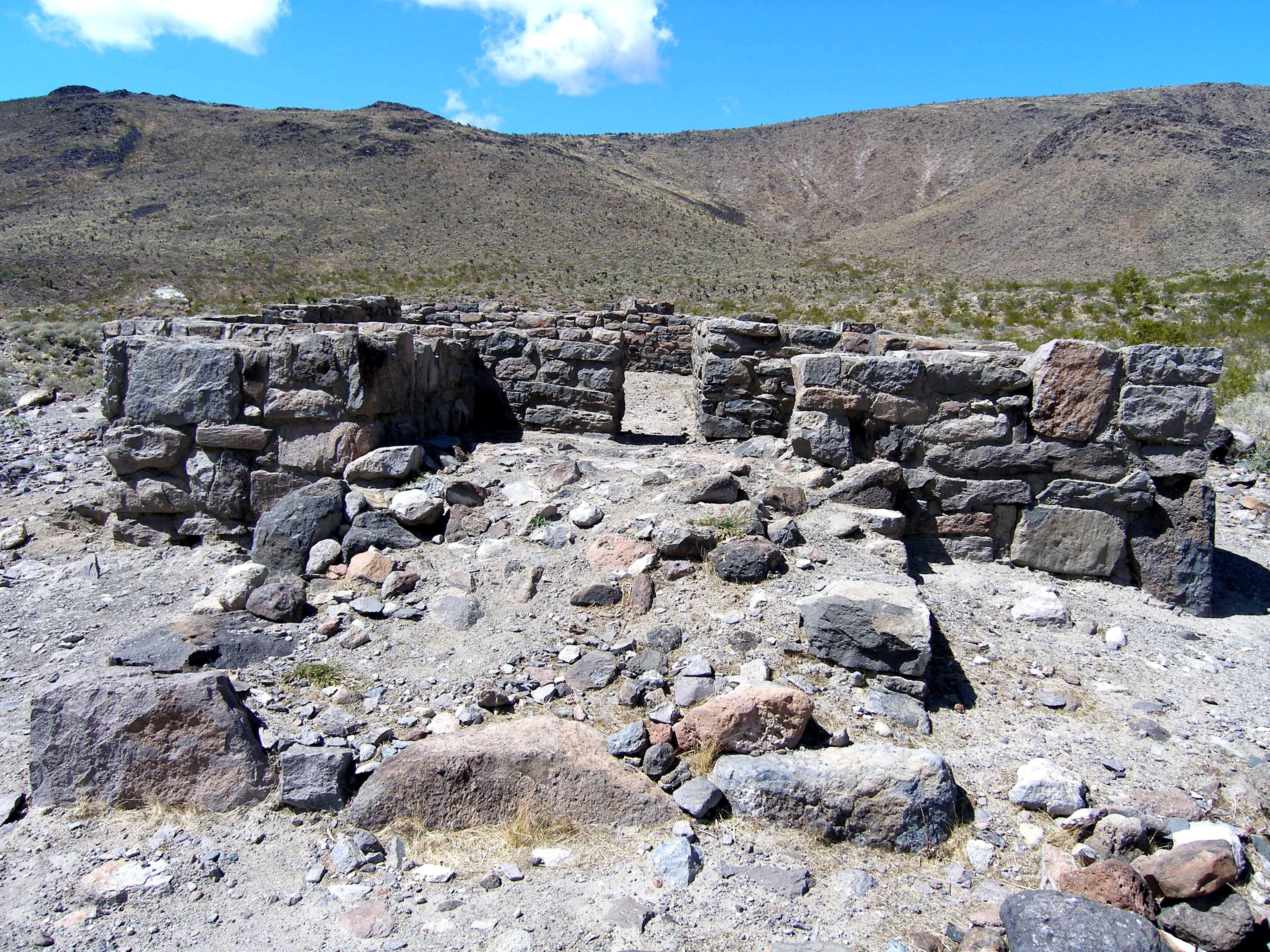
Ft. Piute
audio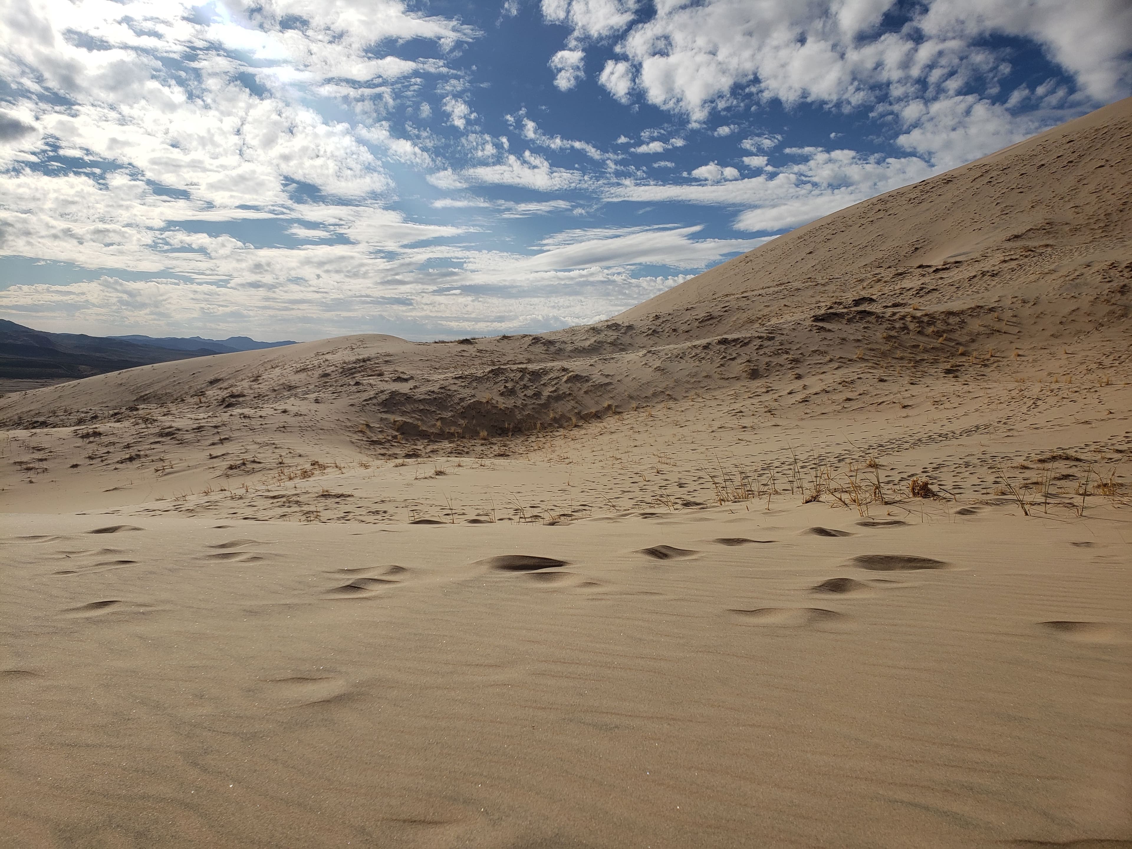
Kelso Dunes
audio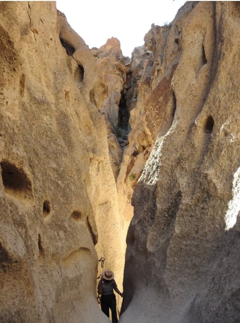
Rings Loop
audio
Rock Spring
audio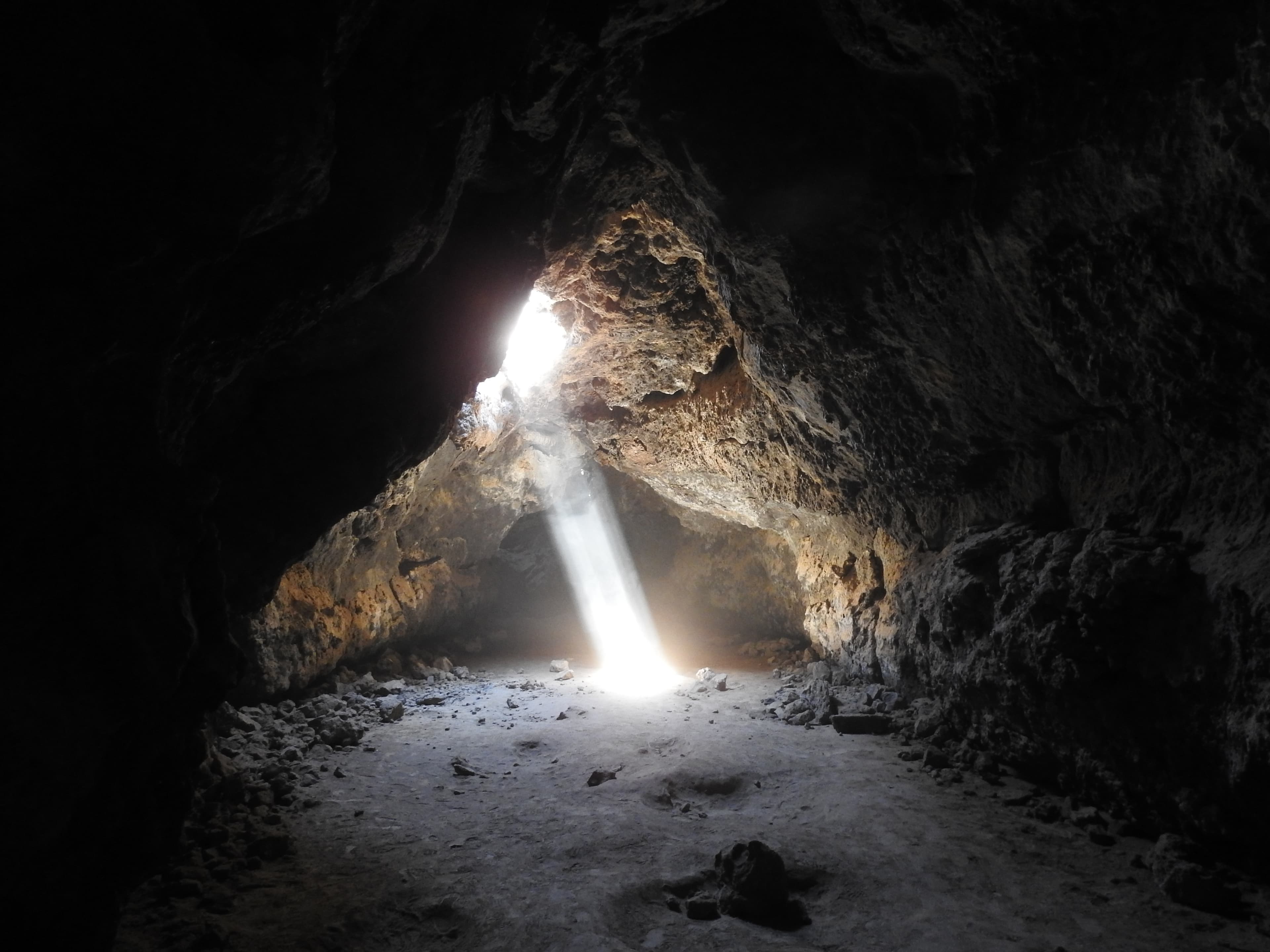
The Lava Tube
audioAudio & media
🎧
🎬
🖼
Learn more
Recipients of the 2009 Environmental Achievement Awards
When the climate changes enough, the vegetation communities growing in any given place will also change. Under an expanded bimodal climate zone, some plant communities in western national parks are more likely to change than others. National Park Service ecologists and partners investigated the future conditions that may force some of this change. Having this information can help park managers decide whether to resist, direct, or accept the change.
Bats are amazing animals and a formidable force against insect pests, but a nasty fungal disease is killing them. A coordinated national response brings hope.
The Brightline West high-speed railway could be bad news for desert bighorn sheep in Mojave National Preserve. We know how to fix that.
The Cenozoic Era (66 million years ago [MYA] through today) is the "Age of Mammals." North America’s characteristic landscapes began to develop during the Cenozoic. Birds and mammals rose in prominence after the extinction of giant reptiles. Common Cenozoic fossils include cat-like carnivores and early horses, as well as ice age woolly mammoths.
Across the US, changes in water availability are altering which plants grow where. These changes are evident at a broad scale. But not all areas experience the same climate in the same way, even within the boundaries of a single national park. A new dataset gives park managers a valuable tool for understanding why vegetation has changed and how it might change in the future under different climate-change scenarios.
Cinder cones are typically simple volcanoes that consist of accumulations of ash and cinders around a vent. Sunset Crater Volcano and Capulin Volcano are cinder cones.
Read about Christina's work with desert bighorn sheep and paving her own path. This article is part of a National Park Foundation funded project called the Dare to Imagine project dedicated to highlighting women in parks who are breaking barriers and showing what a scientist looks like.
Ranger School
Park-grounded courses you can learn with the Ranger.
How Mojave National Preserve connects
This park's activities, topics, location, and on-the-ground places — one hop in the graph. Drag to explore; click an activity, topic, or related park to follow it.
Park
Activity
Topic
State
Campground
VisitorCenter
PassportStamp
ParkingLot
Trail
ThingToDo
Alert
Similar parks
Share activities & topics with Mojave National Preserve.