Gila Cliff Dwellings National Monument
New Mexico
Tonight
🌓 65% moon
9 h fully dark
Crowds
low
Open today
Open
Gila Cliff Dwellings National Monument: closed Nov 26 – Nov 26; Gila Cliff Dwellings National Monument: closed Dec 25 – Dec 25; Gila Cliff Dwellings National Monument: closed Jan 1 – Jan 1
Entrance
Free entry
Parking Lot Inaccessible 6/23–6/24
The trailhead parking lot will be inaccessible June 23, 2026, due to resurfacing work and may remain inaccessible through June 24. The Trail to the Cliff Dwellings and West Fork Trail remain open; however, hiking is not advised due to active road work. Visitors may park at the Scorpion Campgrounds or Woody's Corral and walk via the road shoulder or social trail near the river. Use caution around traffic, construction, sticker bushes, and wildlife.
Water Availability
There is NO water at the scorpion campgrounds and the trailhead for the cliff dwellings. Water is available at the Visitor Center, Woody's corral and TJ's corral.
No Pets are allowed on the Cliff Dwelling Trail
Pets are not allowed onto the Gila Cliff Dwelling Trail. Kennels are available at the Trailhead on a First Come First Serve basis and are available to those that are going on the Cliff Dwelling Trail not the Wilderness trails.
Secure trash and food
Pack it in, pack it out! There are no trash services in or around the monument. All food & trash must be secured inside a vehicle. Ravens routinely open zipped bags & tear into trash bags left outside or in the bed of a truck.
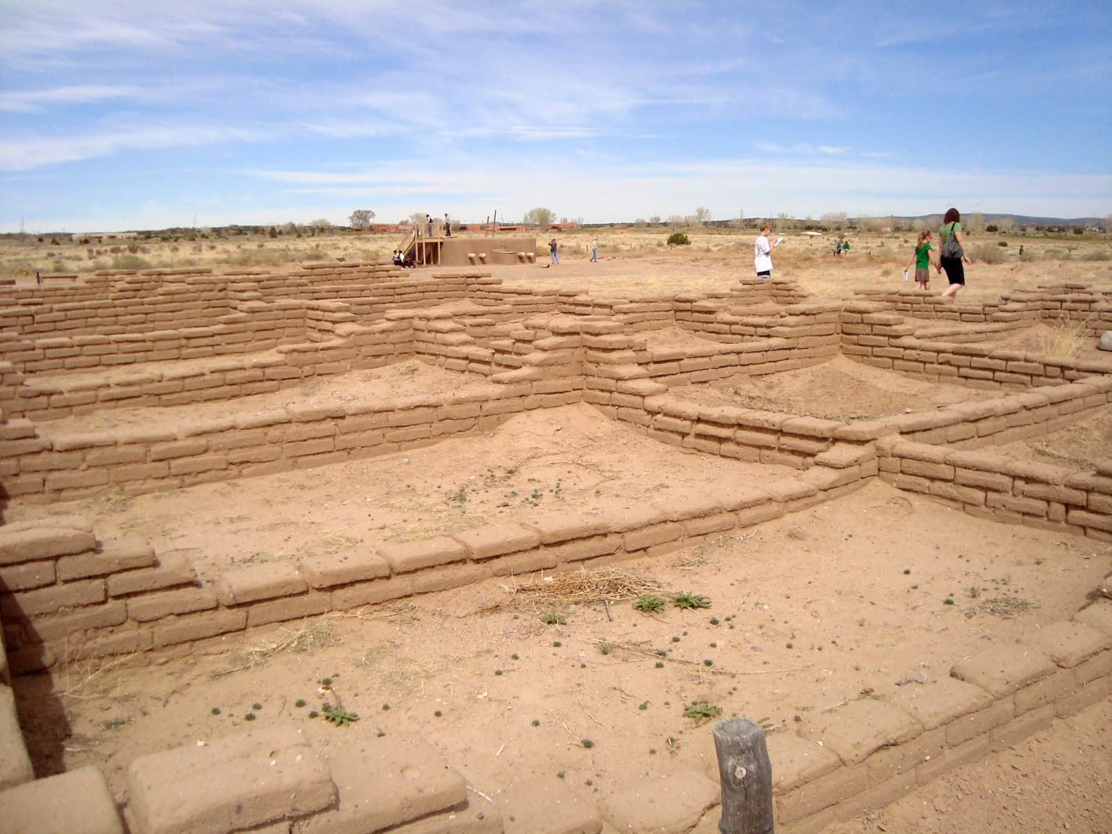
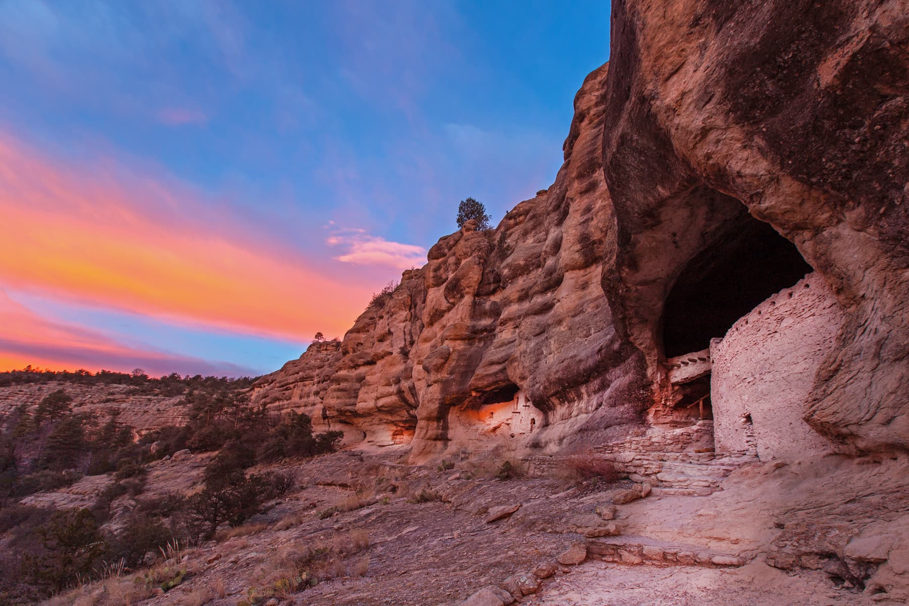
For thousands of years, groups of nomads used the caves above Cliff Dweller Creek as temporary shelter. In the late 1200s, people of the agricultural Mogollon (Southern Ancestral Pueblo) culture made it a home. They built rooms, crafted pottery and raised children in the cliff dwellings for one or two generations. By approximately 1300, the Mogollon had moved on, leaving the walls behind.
Activities
Topics
No entrance fee.
Hours & seasons
The National Monument and Visitor Center are open all year and are closed only for Thanksgiving Day (the 4th Thursday of November), Christmas Day (December 25) and New Year's Day (January 1).
⚠ Gila Cliff Dwellings National Monument: closed Nov 26 – Nov 26; Gila Cliff Dwellings National Monument: closed Dec 25 – Dec 25; Gila Cliff Dwellings National Monument: closed Jan 1 – Jan 1
Generally open:
winterspringsummerfallHours are reported by the park — verify before you go.
📞 (575) 323-2904
✉ gicl_information@nps.govConditions
Quietest months (fewer crowds): Jan, Dec
Typical crowds: low
Weather now: ☀️ Clear, 80°F
☁️ 83°/54°
☁️ 84°/56°
🌦️ 76°/60°
Typical monthly recreation visits · NPS avg 2023–2025 — orange months are the quietest by crowds.
Quietest months
Relative crowds by month — lighter is quieter; ringed months are the calmest by crowds.
Jan
29%
Feb
44%
Mar
100%
Apr
95%
May
93%
Jun
54%
Jul
58%
Aug
46%
Sep
56%
Oct
51%
Nov
45%
Dec
40%
Log a sky reading
Measured the sky with an SQM meter or app? Add your reading (16 = city glow … 22 = pristine). Opt in under “Travelers like you” to share it on the community leaderboard.
Campgrounds
Lower Scorpion Campground · 7 sites · first-come
Upper Scorpion Campground · 12 sites · first-come
Visitor centers
Gila Visitor Center
WNP Park Store
Accessibility
2 accessible campground(s)
Reported by the park — verify before you go.
Not an official safety source — always defer to NPS.gov and rangers for life-safety decisions.
By the numbers
A visual read on Gila Cliff Dwellings National Monument — its character, trails, sky, and weather.
Park fingerprint
How this park scores across the dimensions travelers care about.
3-day forecast
Daily high and low temperatures (°F).
People & stories
Figures tied to Gila Cliff Dwellings National Monument — each spans a cross-park journey.
Frank "Boss" Pinkley
— Pinkley, Boss, NPS HistoryPassport stamps
Mark the stamps you've collected — they show in your memory and along your routes.
🎫 Gila Visitor Center
🎫 WNP Park Store
Places to see
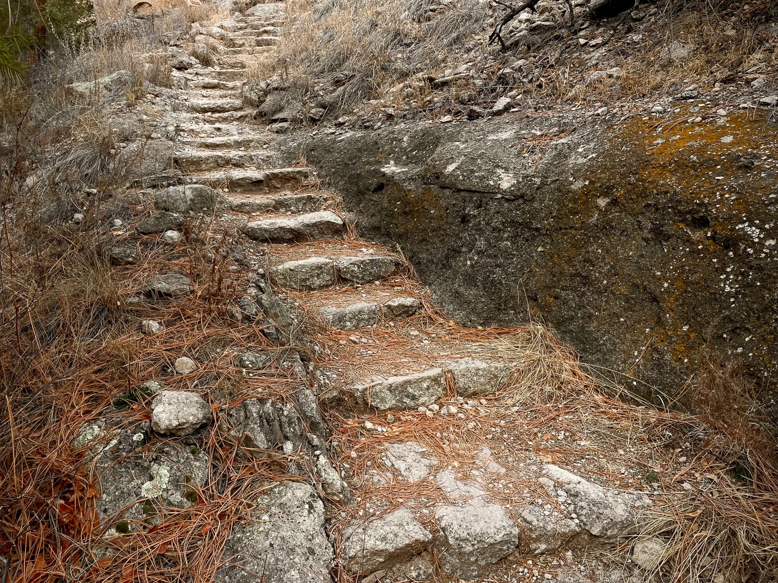
At The Stairs: Foundations for a New Life
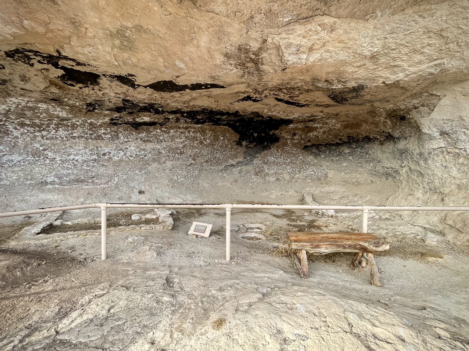
Cave 1: A Good Place for the Family Home
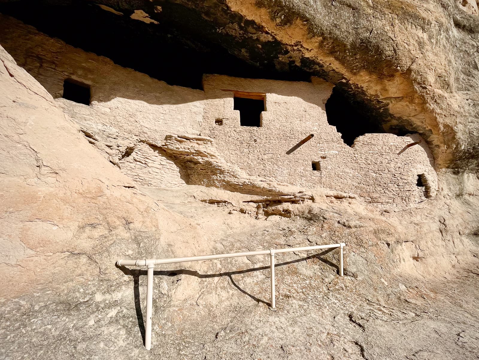
Cave 2: Architecture Tells a Story
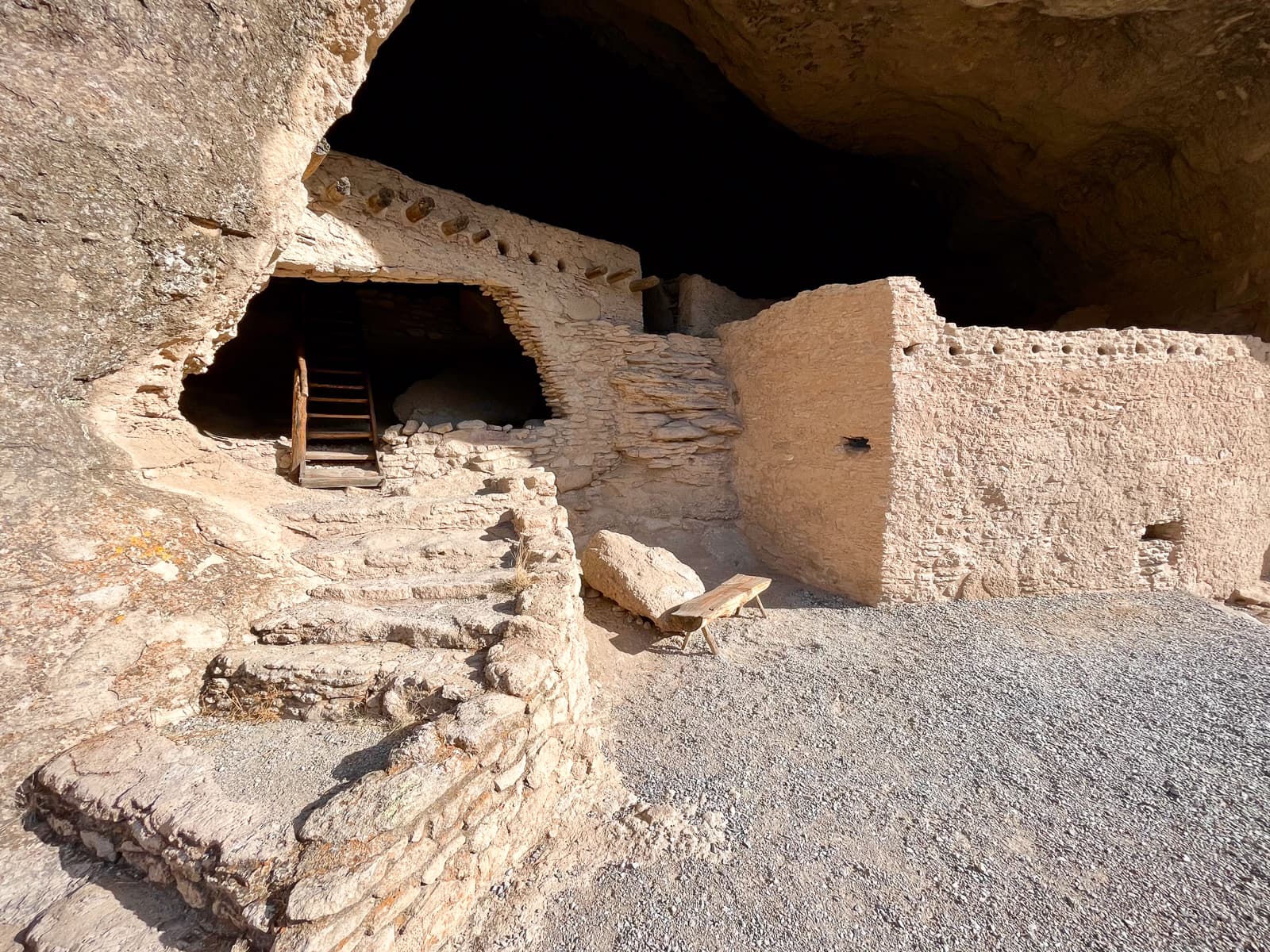
Cave 3: How Old are the Dwellings?
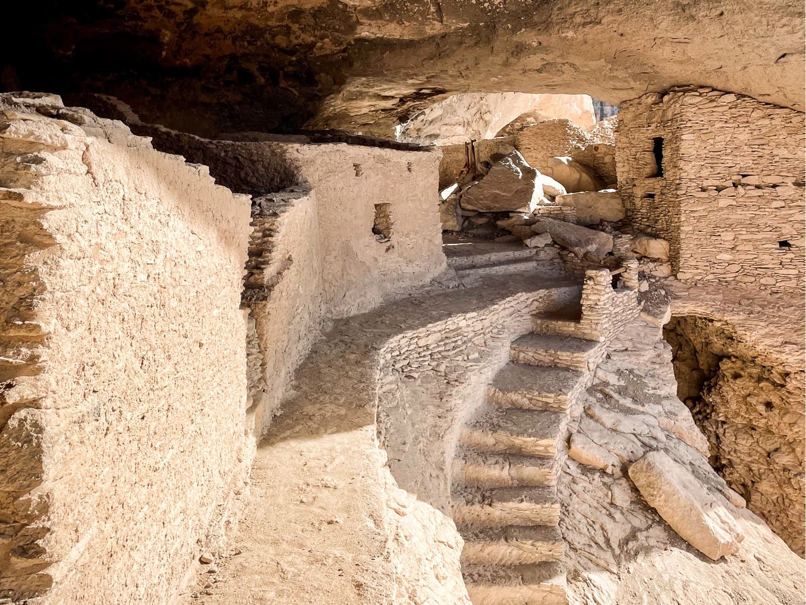
Cave 4-5: Discover the Details
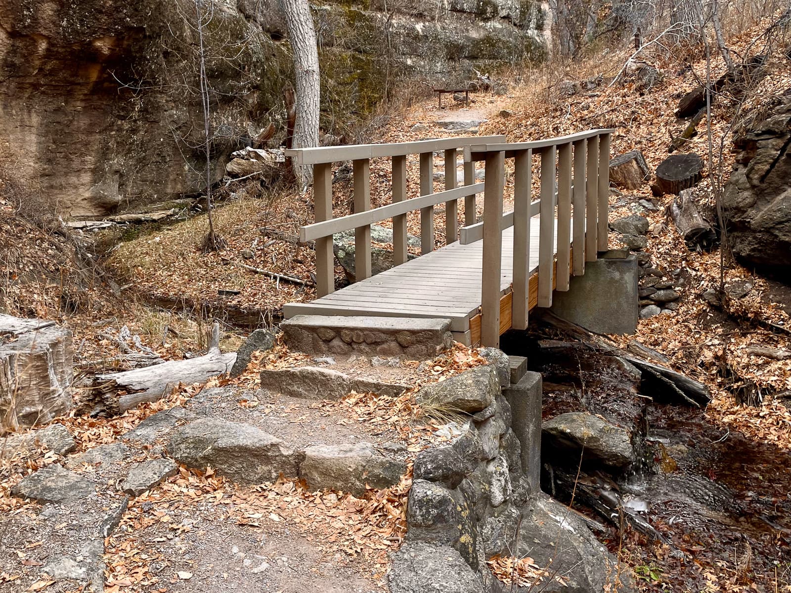
Crossing the Bridges: Water is Life
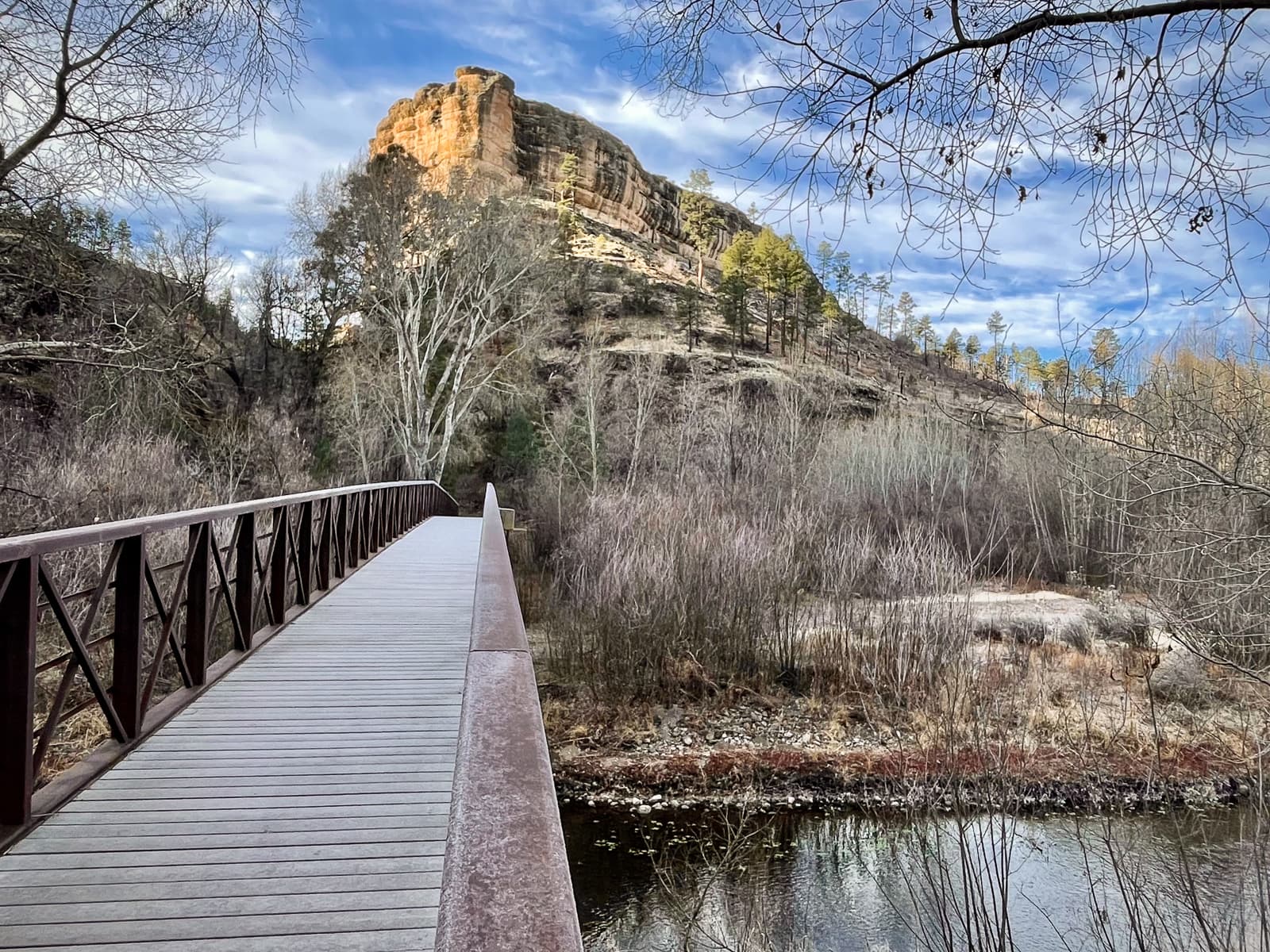
Exploring a Piece of Mogollon Cultural History
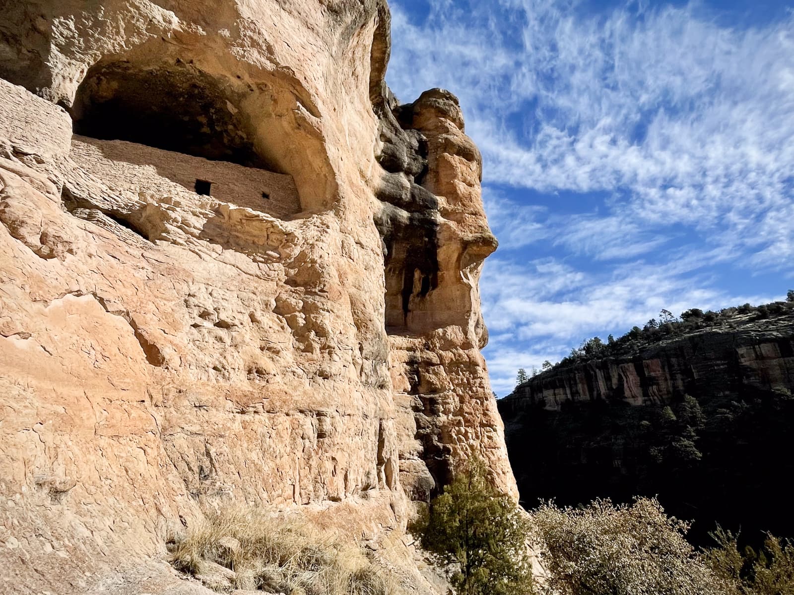
Hidden and Defensible
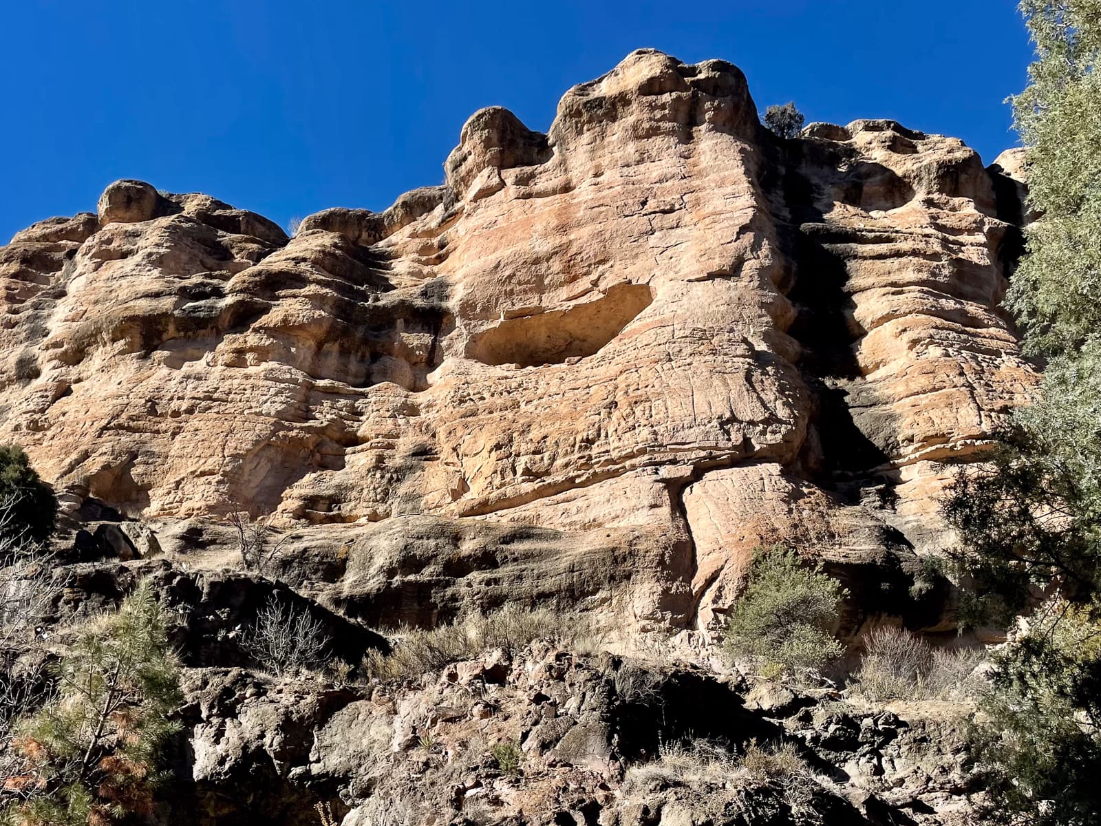
In The Canyon: Nature's Market
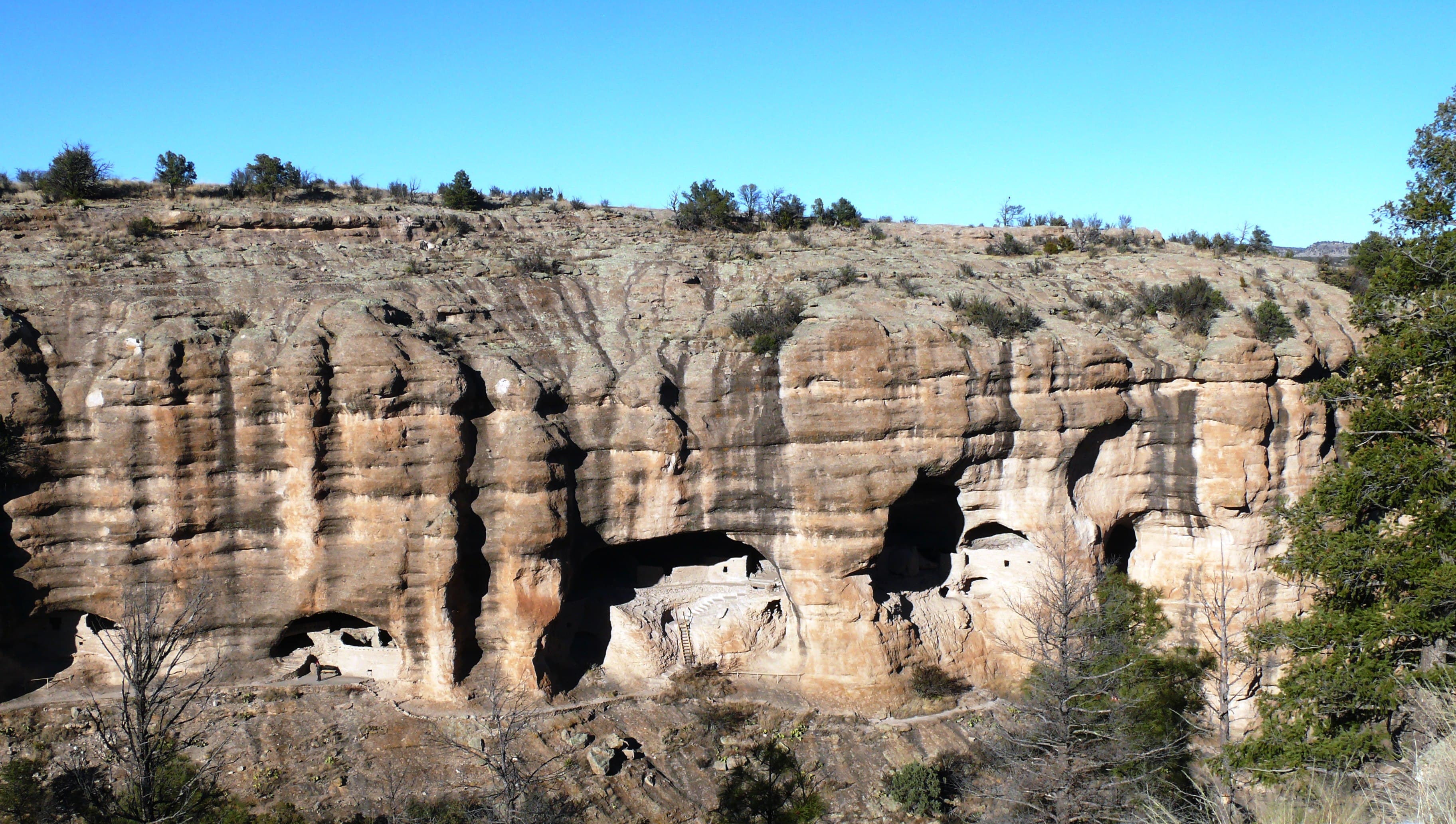
Your National Heritage and History
Audio & media
🎧
🎬
🖼
Learn more
When the climate changes enough, the vegetation communities growing in any given place will also change. Under an expanded bimodal climate zone, some plant communities in western national parks are more likely to change than others. National Park Service ecologists and partners investigated the future conditions that may force some of this change. Having this information can help park managers decide whether to resist, direct, or accept the change.
Calderas are large collapse features that can be many miles in diameter. They form during especially large eruptions when the magma chamber is partially emptied, and the ground above it collapses into the momentary void. Crater Lake and Aniakchak Crater are calderas.
Across the US, changes in water availability are altering which plants grow where. These changes are evident at a broad scale. But not all areas experience the same climate in the same way, even within the boundaries of a single national park. A new dataset gives park managers a valuable tool for understanding why vegetation has changed and how it might change in the future under different climate-change scenarios.
Climate and hydrology shape ecosystems and their functions, particularly in arid and semi-arid environments. Sonoran Desert Network scientists monitor climate and other resources in Gila Cliff Dwellings National Monument to see how they may be changing over time. This information helps park managers protect key resources. This report summarizes the results of climate monitoring in Water Year 2024.
Climate is one of many ecological indicators monitored by the National Park Service (NPS) Division of Inventory & Monitoring (I&M). Climate data help scientists to understand ecosystem processes and help to explain many of the patterns and trends observed in other natural-resource monitoring. In NPS units of the American Southwest, three I&M networks monitor climate using the scientific protocol described here.
At Gila Cliff Dwellings National Monument, the built environment reflects the historical importance of reliable water sources. The Sonoran Desert Network monitors climate, springs, and streams at this park. Understanding changes in these closely linked factors helps managers make informed decisions affecting both natural and cultural resources. Learn about our recent findings.
At Gila Cliff Dwellings National Monument, the built environment reflects the historical importance of reliable water sources. The Sonoran Desert Network monitors climate, springs, and streams at this park. Understanding changes in these closely linked factors helps managers make informed decisions affecting both natural and cultural resources. Learn about our recent findings.
Sonoran Desert Network scientists monitor key resources and weather at Gila Cliff Dwellings National Monument by taking measurements throughout the year to understand changes over time. This report summarizes analyses of weather and springs data from Water Year 2022. The data indicate the park had a noteworthy heavy monsoon season, and the two monitored springs continue to be wet year-round. Air temperatures were similar to previous averages.
How Gila Cliff Dwellings National Monument connects
This park's activities, topics, location, and on-the-ground places — one hop in the graph. Drag to explore; click an activity, topic, or related park to follow it.
Park
Activity
Topic
State
Campground
VisitorCenter
PassportStamp
Trail
Alert
Similar parks
Share activities & topics with Gila Cliff Dwellings National Monument.