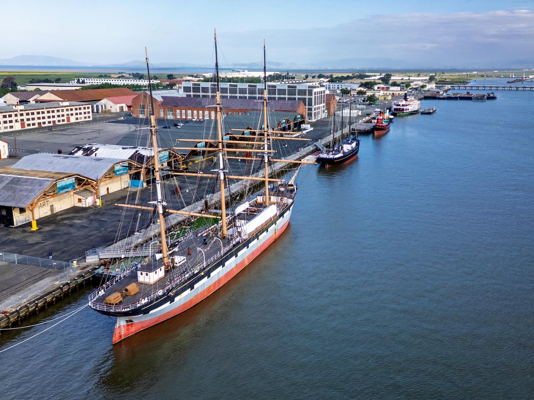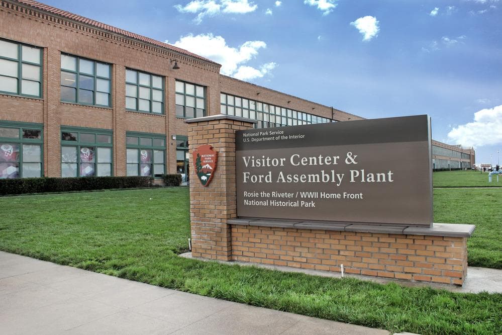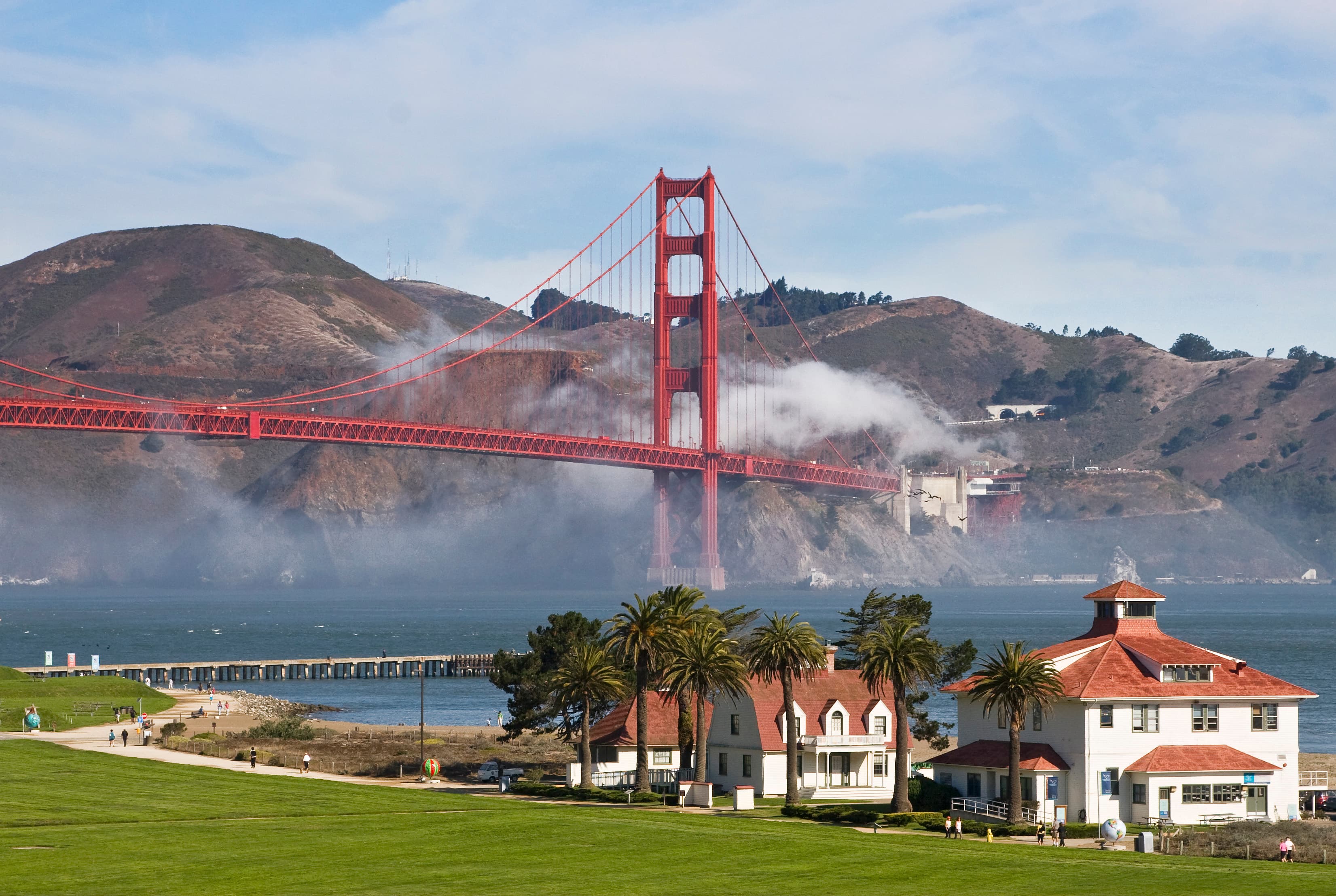
Golden Gate National Recreation Area
California
Tonight
🌓 65% moon
8.9 h fully dark
Hikes
Easy
🟢
Crowds
very high
Open today
Open
Point Bonita Lighthouse (beyond the tunnel): closed Dec 25 – Dec 25; Point Bonita Lighthouse (beyond the tunnel): closed Dec 25 – Dec 25; Fort Point National Historic Site: closed Nov 26 – Nov 26; Fort Point National Historic Site: closed Dec 25 – Dec 25; Fort Point National Historic Site: closed Jan 1 – Jan 1
Entrance
Free entry
Beach Hazards Statement in Effect until 5 PM Wednesday, June 24, 2026
Dangerous conditions are forecast along the shoreline. Hazards include strong rip currents and large breaking waves. Stay off of jetties, piers, rocks, and other waterside infrastructure. Remain out of the water to avoid hazardous surf and NEVER turn your back on the ocean. See link below for more beach safety info.
Official NPS alert →Temporary Traffic Control and Detour on Bunker Rd Until July 31 7AM to 6PM
Contractor will be replacing culvert on Bunker Road near Capehart Housing Area. Allow extra time for traffic delays and detours. Visitors entering the park should expect delays. Visitors exiting park will be routed over Conzelman Road. Please obey traffic controls.
Old Springs Trail near Tennessee Valley Closed until August 2026
The trail will be closed for boardwalk replacement and general maintenance until early August. Surrounding trails will remain open to provide an alternative route. Please pay attention to safety signage and stay out of the closed area.
China Beach Construction Phase 2 Spring - Summer 2026
Project continues with improvements to the lower terrace and picnic areas, rehabbing the interior and exterior of the bathhouse, and installing seating and foot wash station near beach. Projects are expected to take 16-18 months. See link for details.
Official NPS alert →Presidio Trust Trails Annual Coyote Pupping Season is April to October
To prevent dog-coyote conflicts, avoid seasonally closed sections of the Park Trail and the Bay Area Ridge Trail to dog walking. Explore open dog-friendly trails instead and remember to keep dogs on leash. Visit the Presidio Trust's website for more details.
Official NPS alert →Ocean Beach Fire Season in Effect through October 31, 2026
Fires allowed ONLY in park provided concrete fire rings between Stairwells 15 and 20. Do NOT make fire rings using rocks, logs or other items. For more information, visit the beach fire regulations link below.
Official NPS alert →Upper Fort Mason Roads and Parking Area Closures Fall 2025 - Fall 2026
Roads and parking areas at upper Fort Mason will have closures during utilities and seismic retrofit projects. Closures planned Fall 2025 through Fall 2026. Lots will be fenced and used as staging areas for projects occurring at Fort Mason. Signs will be posted in advance of utilities work as project progresses through each area at Fort Mason. Read signs and do not park in posted areas. Vehicles will be towed at owner's expense.
Auto-Theft Warning - Only Bring What You Need to the Park
You can prevent vehicle break-ins in parking lots and scenic overlooks. Before leaving your car for even a short period of time: 1) Remove all valuables, 2) Lock your doors. 3) Take your cell phones and electronics with you. Read article for more details.
Official NPS alert →Experience a park so rich it supports 19 distinct ecosystems with over 2,000 plant and animal species. Go for a hike, enjoy a vista, have a picnic or learn about the centuries of overlapping history from California’s indigenous cultures, Spanish colonialism, the Mexican Republic, US military expansion and the growth of San Francisco. All of this and more awaits you, so get out and find your park.
Activities
Topics
No entrance fee.
Hours & seasons
Although this urban park is accessible 24 hours a day in most areas, most parking lots are open between sunrise to sunset.
⚠ Point Bonita Lighthouse (beyond the tunnel): closed Dec 25 – Dec 25; Point Bonita Lighthouse (beyond the tunnel): closed Dec 25 – Dec 25; Fort Point National Historic Site: closed Nov 26 – Nov 26; Fort Point National Historic Site: closed Dec 25 – Dec 25; Fort Point National Historic Site: closed Jan 1 – Jan 1
Generally open:
winterspringsummerfallHours are reported by the park — verify before you go.
📞 415-561-4700
✉ goga_socialmedia_goga@nps.govConditions
Typical crowds: very high
Weather now: ☁️ Overcast, 58°F
🌫️ 61°/54°
🌫️ 58°/56°
🌫️ 70°/57°
Typical monthly recreation visits · NPS avg 2023–2025 — orange months are the quietest by crowds.
Quietest months
Relative crowds by month — lighter is quieter; ringed months are the calmest by crowds.
Jan
58%
Feb
56%
Mar
70%
Apr
79%
May
87%
Jun
91%
Jul
100%
Aug
100%
Sep
87%
Oct
76%
Nov
63%
Dec
61%
Log a sky reading
Measured the sky with an SQM meter or app? Add your reading (16 = city glow … 22 = pristine). Opt in under “Travelers like you” to share it on the community leaderboard.
Things to do
Hawk Hill Birdwatching · Whether you only have a few minutes or a couple of hours you're bound to see something spectacular while visiting Hawk Hill.
Rodeo Lagoon Birdwatching
Nike Missile Site in the Marin Headlands · The site is open on Saturdays from 12:30 - 3:30 PM. Expect to spend at least 30 minutes to 1 hour exploring the site.
Presidio Birdwatching
Crissy Field Birdwatching
Visit the New Industries Building
Bike the Bolinas Ridge Trail · 22 mi · 360 ft gain · <p>The Bolinas Ridge trail spans 11 miles (17.6 km) from its <a href="https://www.nps.gov/places/golden-gate-bolinas-ridge-trailhead.htm">northern trailhead</a> along Sir Francis Drake Boulevard to its southern terminus on the Fairfax-Bolinas Road. Allow 1.5 hours for a one-way ride (if you have vehicles at both ends of the trail) or 3 hours to ride the entire 22 miles (35.2 km) roundtrip. However, it is an out-and-back trail, so it offers visitors the flexibility to choose how long they want to make their adventure. Connecting trails also offer the opportunity for loop rides.</p>
Archives Visit · The Park Archive and records center in centrally located in the Presidio national park and within walking distance of the Presidio Visitor Center and Golden Gate Bridge welcome center, making getting here via public transportation really easy. See our <a href="https://presidio.gov/visit/getting-to-and-around-the-park">Getting To and Around the Park | The Presidio (San Francisco).</a>
Campgrounds
Bicentennial Campground ↗ · 3 sites
Hawk Campground ↗ · 3 sites
Haypress Campground ↗ · 6 sites
Kirby Cove Campground ↗ · 6 sites
Rob Hill Campground
Visitor centers
Golden Gate Bridge Welcome Center
Lands End Lookout Visitor Center
Muir Woods National Monument Visitor Center
William Penn Mott Jr. Presidio Visitor Center
Accessibility
1 accessible campground(s)
57 audio-described place(s)
Reported by the park — verify before you go.
Not an official safety source — always defer to NPS.gov and rangers for life-safety decisions.
By the numbers
A visual read on Golden Gate National Recreation Area — its character, trails, sky, and weather.
Park fingerprint
How this park scores across the dimensions travelers care about.
Trail difficulty
Difficulty mix across this park's trails.
Trail profile
Each dot is a trail — distance vs. elevation gain, by difficulty.
3-day forecast
Daily high and low temperatures (°F).
People & stories
Figures tied to Golden Gate National Recreation Area — each spans a cross-park journey.
Adolph Sutro
— Notable Figures, History, CultureAlice Park
— Women's History, Suffragist, ActivistAmy Meyer
— Golden Gate National Recreation Area, Land's End, Women's HistoryDora E. Thompson
— Women's History, Presidio, 1906 EarthquakeDr. Clyde Wahrhaftig
— Ggnra, Marin Headlands, GogaDr. Marie Equi
— Massachusetts, Women's History, OregonEdward Warbass
Fred T. Korematsu
— Korematsu, Japanese American, Japanese American Citizens LeaguePassport stamps
Mark the stamps you've collected — they show in your memory and along your routes.
🎫 Alcatraz Island
🎫 Golden Gate Bridge Welcome Center
🎫 Lands End Lookout Visitor Center
🎫 Marin Headlands Visitor Center
🎫 Muir Woods National Monument Visitor Center
🎫 William Penn Mott Jr. Presidio Visitor Center
Places to see
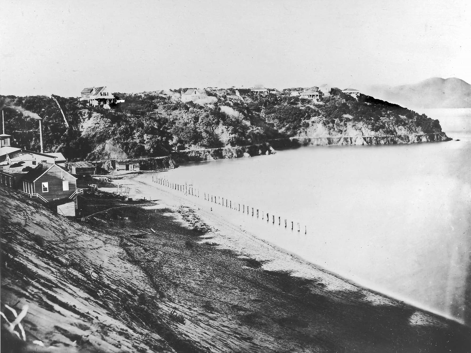
"Black Point": A Civilian Neighborhood on Military Land
audio1 - Exploring the Coast...and Beyond
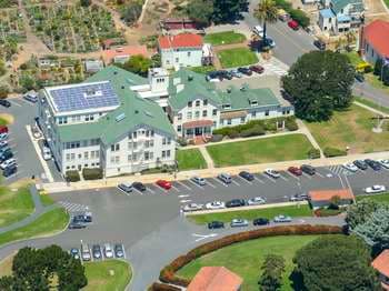
1 - Headquarters
1 - Introduction: Lands End Lookout
1 - Restoring Habitat - Muir Beach AD
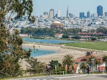
1 - Sustainability at Golden Gate
1 - USSGS Bay Studies
10 - Family Housing
10 - Marsh Dynamics
10 - San Francisco's Seaside Playground
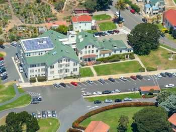
10 - World's Fair
11 - "Sand" Francisco
Audio & media
🎧 Bill Hart ↗ · 43 mintranscript
🎧 Colonel Harrison Payne ↗ · 171 mintranscript
🎧 George K. Whitney Jr. ↗ · 198 mintranscript
🎧 Iva Young ↗ · 63 mintranscript
🎧 Joeseph Souza ↗ · 38 mintranscript
🎧 Dorothy Pimentel Silva and Manuel Silva ↗ · 87 mintranscript
🎧 Marilyn Blaisdell ↗ · 62 mintranscript
🎧 Laura Lopes ↗ · 77 mintranscript
🎬
🖼
Learn more
In the early dawn light of April 18, 1906—at 5:12 a.m.—the ground under San Francisco shook violently for a less than a minute. Though damage from the earthquake was severe, the ensuing fires were truly catastrophic. Thirty broke out almost immediately, burned for three days, and destroyed over five hundred blocks in the heart of the city.
As a result of this El Niño, heavy surf and rains severely eroded beaches and fragile sea cliffs in coastal California. National Park System units in California affected by the 1982–1983 El Niño event were Point Reyes National Seashore, Golden Gate National Recreation Area, and Pinnacles National Monument.
Wind-driven waves and abnormally high sea levels contributed to hundreds of millions of dollars in flood and storm damage in the San Francisco Bay region, including Point Reyes National Seashore, Golden Gate National Recreation Area, and Pinnacles National Monument. In addition to California, the 1997–1998 El Niño and the following 1998–1999 La Niña severely impacted the Pacific Northwest, including many National Park System units.
Recipients of the 2004 NPS Environmental Achievement Awards
Recipients of the 2010 NPS Environmental Achievement Awards
Recipients of the 2011 NPS Environmental Achievement Awards
Meet the six winner of the 2011 Hartzog Awards, which celebrates the amazing contributions of volunteers to our national parks.
Introducing the national and regional recipients of the 2014 Freeman Tilden Awards, given in recognition of new and innovative programs in interpretation.
Ranger School
Park-grounded courses you can learn with the Ranger.
How Golden Gate National Recreation Area connects
This park's activities, topics, location, and on-the-ground places — one hop in the graph. Drag to explore; click an activity, topic, or related park to follow it.
Park
Activity
Topic
State
ThingToDo
Alert
Campground
VisitorCenter
PassportStamp
Trail
Similar parks
Share activities & topics with Golden Gate National Recreation Area.