Chiricahua National Monument
Arizona
Tonight
🌓 65% moon
9.1 h fully dark
Hikes
Easy–Strenuous
🟢 🟡 🔴
Crowds
low
Open today
Open
Entrance
Free entry
Vehicle Length & Trailer Restrictions
No large vehicle turnaround after Faraway Ranch Parking (1 mile after entrance). Vehicles over 29 feet park at Faraway. Disconnect trailers at Faraway. Trailers with campground reservations proceed to camp. Scenic drive = 24 ft limit and no trailers.
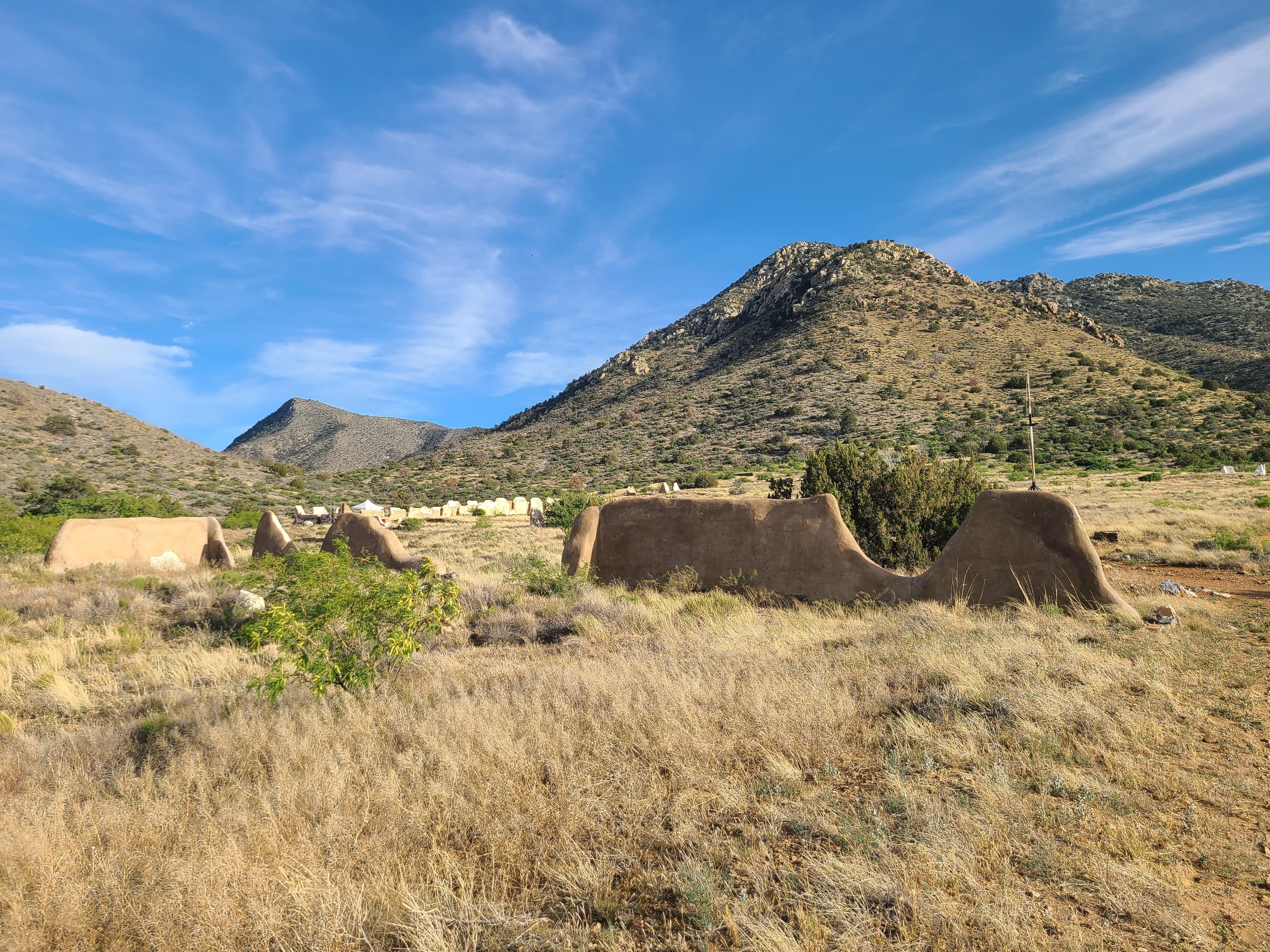
Official NPS alert →Explore rhyolite pinnacles and balanced rocks on foot or by car. Relax at the campground under star-filled, dark skies. See how a mountain range rising between two deserts creates a home for diverse wildlife. Imagine history here. Prehistoric peoples, Apaches, Buffalo Soldiers, Civilian Conservation Corps, ranchers, and homesteaders inhabited Chiricahua.
Activities
Topics
No entrance fee.
Hours & seasons
The road, campground, and facilities in the park are open overnight. Gates on the road will not be closed during overnight hours unless an emergency occurs. The park prohibits overnight parking, sleeping in vehicles, and camping outside the campground. The trails stay open for sunrise, sunset, and night sky viewing. Be aware of wildlife and use extreme caution.
Generally open:
winterspringsummerfallHours are reported by the park — verify before you go.
📞 5208243560
✉ chir_info@nps.govConditions
Quietest months (fewer crowds): Jun, Jul, Aug, Sep
Typical crowds: low
Weather now: ☀️ Clear, 77°F
☁️ 81°/59°
☁️ 80°/62°
🌦️ 73°/62°
Typical monthly recreation visits · NPS avg 2023–2025 — orange months are the quietest by crowds.
Quietest months
Relative crowds by month — lighter is quieter; ringed months are the calmest by crowds.
Jan
43%
Feb
54%
Mar
100%
Apr
76%
May
47%
Jun
23%
Jul
19%
Aug
17%
Sep
27%
Oct
41%
Nov
42%
Dec
48%
Log a sky reading
Measured the sky with an SQM meter or app? Add your reading (16 = city glow … 22 = pristine). Opt in under “Travelers like you” to share it on the community leaderboard.
Things to do
Massai Point Nature Trail
🔴 Hike the Trails at Chiricahua · 17 mi
🟢 Picnicking
Echo Canyon Grottoes · 2 mi · 200 ft gain
🟡 Echo Canyon Loop Trail · 3.3 mi · 400 ft gain
🟢 Bonita Canyon Drive · 8 mi · From the entrance to the end of the road is 8 miles. Speed limit 25 to 40 miles per hour. Without stops it generally takes about 30 minutes to get to the top. Stops are best made at Massai Point and on the return journey down the drive.
🟢 Silver Spur Meadow Trail · 1.2 mi
Bonita Creek Loop · 0.2 mi
Campgrounds
Bonita Canyon Campground ↗ · 23 sites
Visitor centers
Chiricahua National Monument Visitor Center
Accessibility
1 accessible campground(s)
3 audio-described place(s)
Reported by the park — verify before you go.
Parking
Bonita Creek Parking Lot - 29 ft Limit · 9 accessible spacesaccessible
Echo Canyon Parking - 24 ft Length Limit · 19 accessible spacesaccessible
Faraway Ranch, Trailer, and Oversized Vehicle Parking · 25 accessible spacesaccessible
Massai Point Parking - 24 ft Length Limit · 25 accessible spacesaccessible
Natural Bridge Parking Area - 24 ft Limit · 3 accessible spaces
Sugarloaf Parking - 24 ft Limit · 17 accessible spaces
Visitor Center Overflow Parking
Visitor Center Parking - 29 ft Length Limit · 25 accessible spacesaccessible
Not an official safety source — always defer to NPS.gov and rangers for life-safety decisions.
By the numbers
A visual read on Chiricahua National Monument — its character, trails, sky, and weather.
Park fingerprint
How this park scores across the dimensions travelers care about.
Trail difficulty
Difficulty mix across this park's trails.
Trail profile
Each dot is a trail — distance vs. elevation gain, by difficulty.
3-day forecast
Daily high and low temperatures (°F).
People & stories
Figures tied to Chiricahua National Monument — each spans a cross-park journey.
Charles Faulkner
— 10th Cavalry, Buffalo Soldier, African AmericanCharles Key
— Buffalo Soldier, Chiricahua National Monument, VeteranCharles Terry
— Buffalo Soldier, African American, MilitaryFrank "Boss" Pinkley
— Pinkley, Boss, NPS HistoryJames Brown
— Buffalo Soldier, Chiricahua National Monument, MilitaryJohn Casey
— Buffalo Soldier, African American, MilitaryLewis Harris
— Usct, Civil War, Buffalo SoldierLillian Erickson Riggs
— Swscience, American Southwest, Sonoran DesertPassport stamps
Mark the stamps you've collected — they show in your memory and along your routes.
🎫 Chiricahua National Monument Visitor Center
Places to see
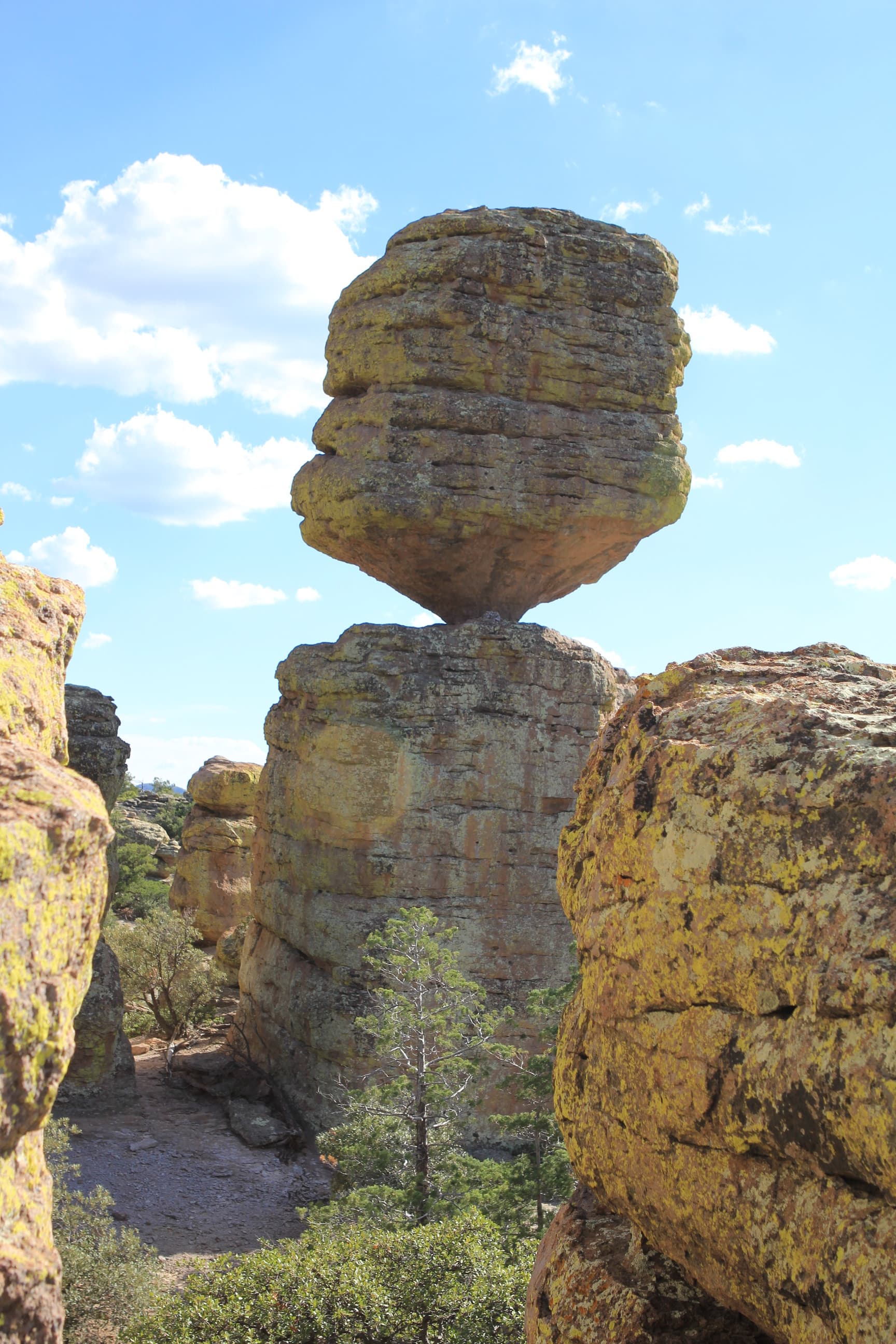
Big Balanced Rock
audio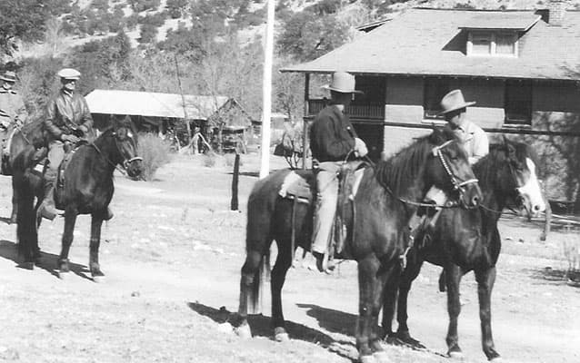
Faraway Ranch
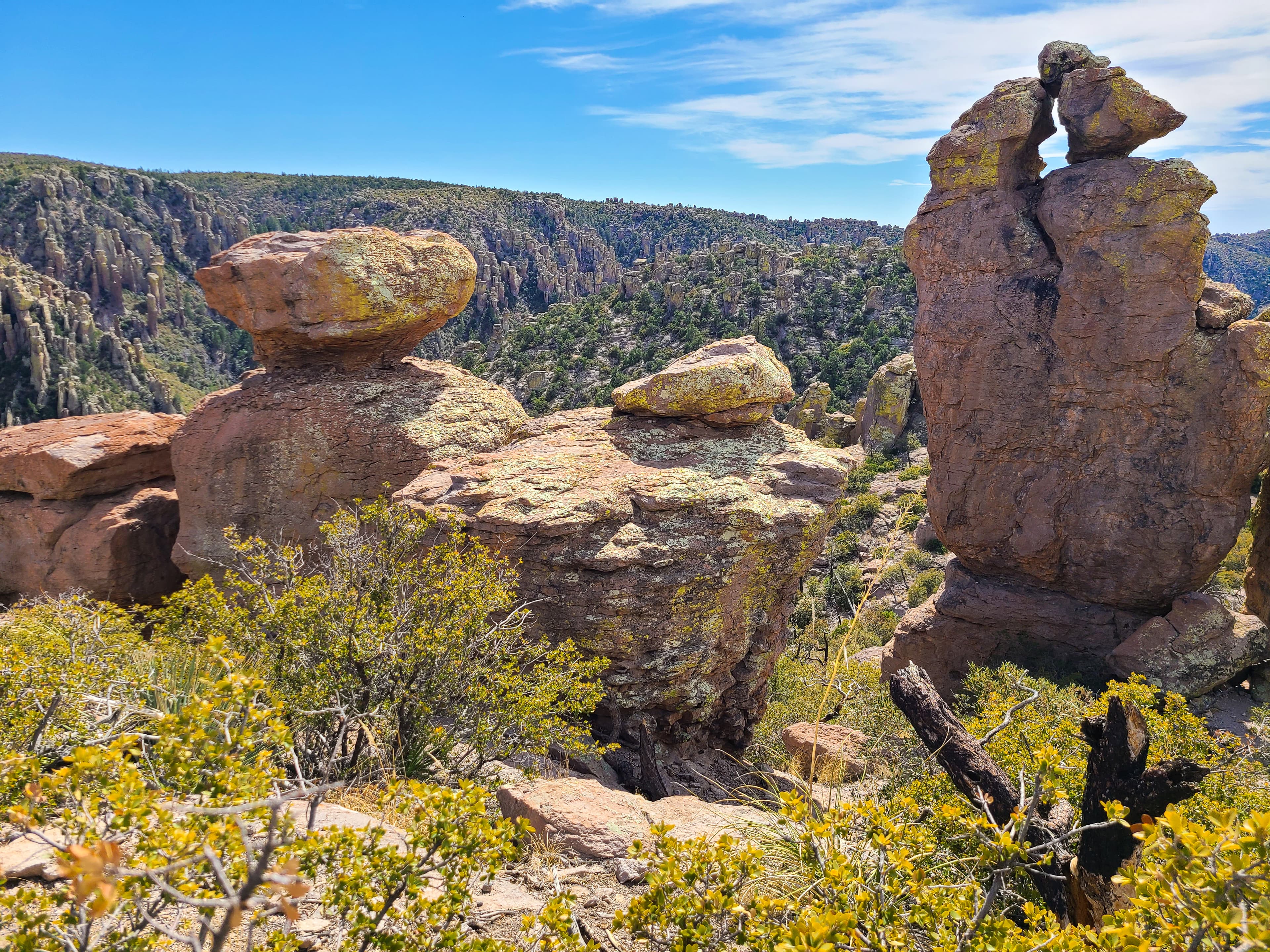
Massai Point Overlook
audio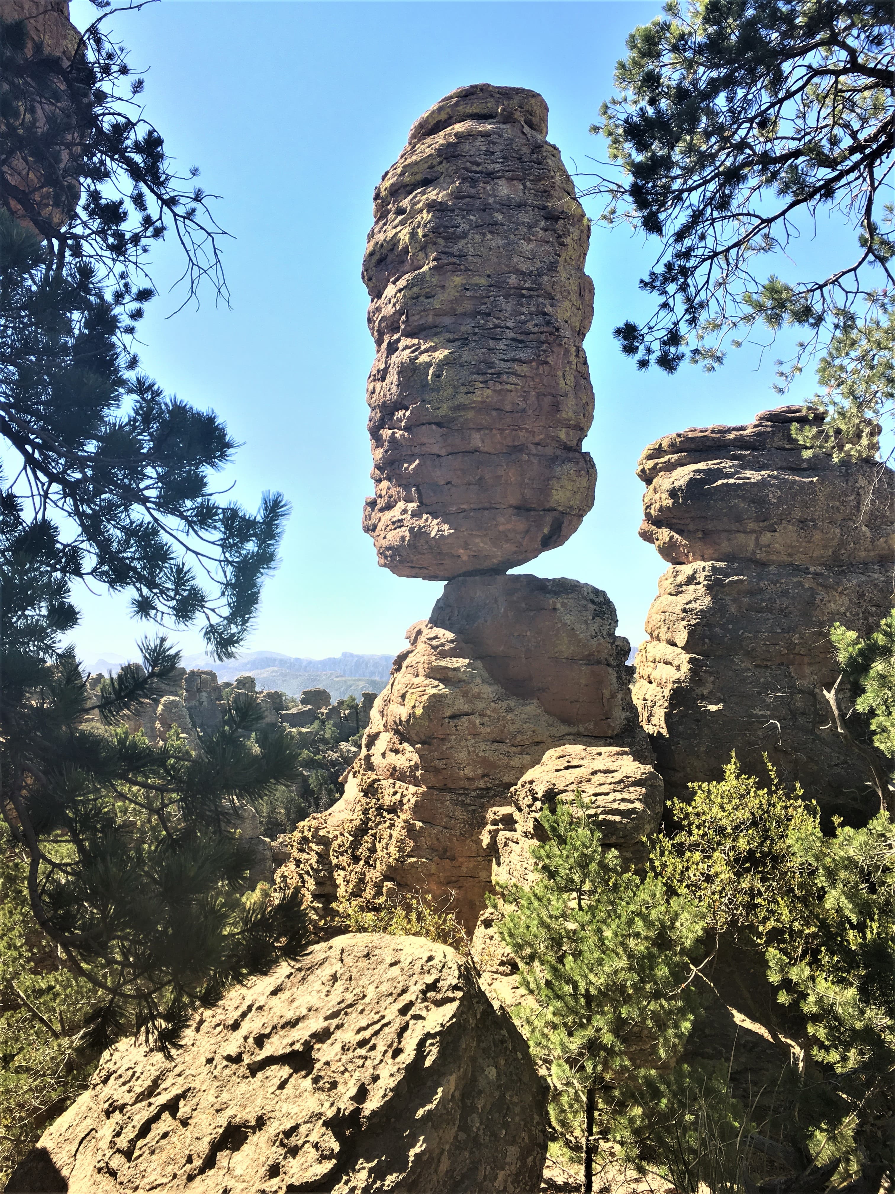
Pinnacle Balanced Rock
audioAudio & media
🎧
🎬
🖼
Learn more
Meet the recipients of the 2026 Excellence in Volunteerism Awards. These dedicated individuals and groups embody the values of service, engagement, and stewardship fundamental to our national parks.
When the climate changes enough, the vegetation communities growing in any given place will also change. Under an expanded bimodal climate zone, some plant communities in western national parks are more likely to change than others. National Park Service ecologists and partners investigated the future conditions that may force some of this change. Having this information can help park managers decide whether to resist, direct, or accept the change.
The story of Faraway Ranch begins with the arrival of Emma Peterson, an immigrant from Sweden, in the United States. Unlike many immigrants, Emma Peterson’s family was well-off, owned a comfortable home, and employed several servants. Emma did not get along well with her step-mother, however, and decided to follow her brother and sister, who already had emigrated to the United States.
Calderas are large collapse features that can be many miles in diameter. They form during especially large eruptions when the magma chamber is partially emptied, and the ground above it collapses into the momentary void. Crater Lake and Aniakchak Crater are calderas.
The Cenozoic Era (66 million years ago [MYA] through today) is the "Age of Mammals." North America’s characteristic landscapes began to develop during the Cenozoic. Birds and mammals rose in prominence after the extinction of giant reptiles. Common Cenozoic fossils include cat-like carnivores and early horses, as well as ice age woolly mammoths.
Across the US, changes in water availability are altering which plants grow where. These changes are evident at a broad scale. But not all areas experience the same climate in the same way, even within the boundaries of a single national park. A new dataset gives park managers a valuable tool for understanding why vegetation has changed and how it might change in the future under different climate-change scenarios.
Guests at Faraway also enjoyed excursions into the area that Lillian called a “Wonderland of Rocks.” Here, spires and pinnacles of rock clustered together, forming fantastic geologic formations.
The CCC is one of the most well-remembered and highly regarded programs of the New Deal. Camp NM-1-N, located at Bandelier National Monument in New Mexico, made important contributions to Tumacácori’s visitor center.
How Chiricahua National Monument connects
This park's activities, topics, location, and on-the-ground places — one hop in the graph. Drag to explore; click an activity, topic, or related park to follow it.
Park
Activity
Topic
State
Campground
VisitorCenter
PassportStamp
ParkingLot
Trail
ThingToDo
Alert
Similar parks
Share activities & topics with Chiricahua National Monument.