Organ Pipe Cactus National Monument
Arizona
Tonight
🌓 65% moon
9.1 h fully dark
Hikes
Easy–Strenuous
🟢 🔴
Crowds
low
Open today
Open
Entrance
$25
Feral Dogs May Be Seen in Organ Pipe Cactus National Monument
Feral dogs may be present at the Twin Peaks Campground and around the Kris Eggle Visitor Center. Visitors should not attempt to feed or water these dogs or approach them in any way as they may carry disease or become hostile.
Pozo Nuevo Road to Bates Well Ranch High Clearance, 4-Wheel Drive Only
High Clearance, 4-wheel drive is required from where Pozo Nuevo Road begins along South Puerto Blanch Drive to Bates Well Ranch area. The road is washed out in areas. Bates Well Ranch is still accessible from the north on Darby Well Road.
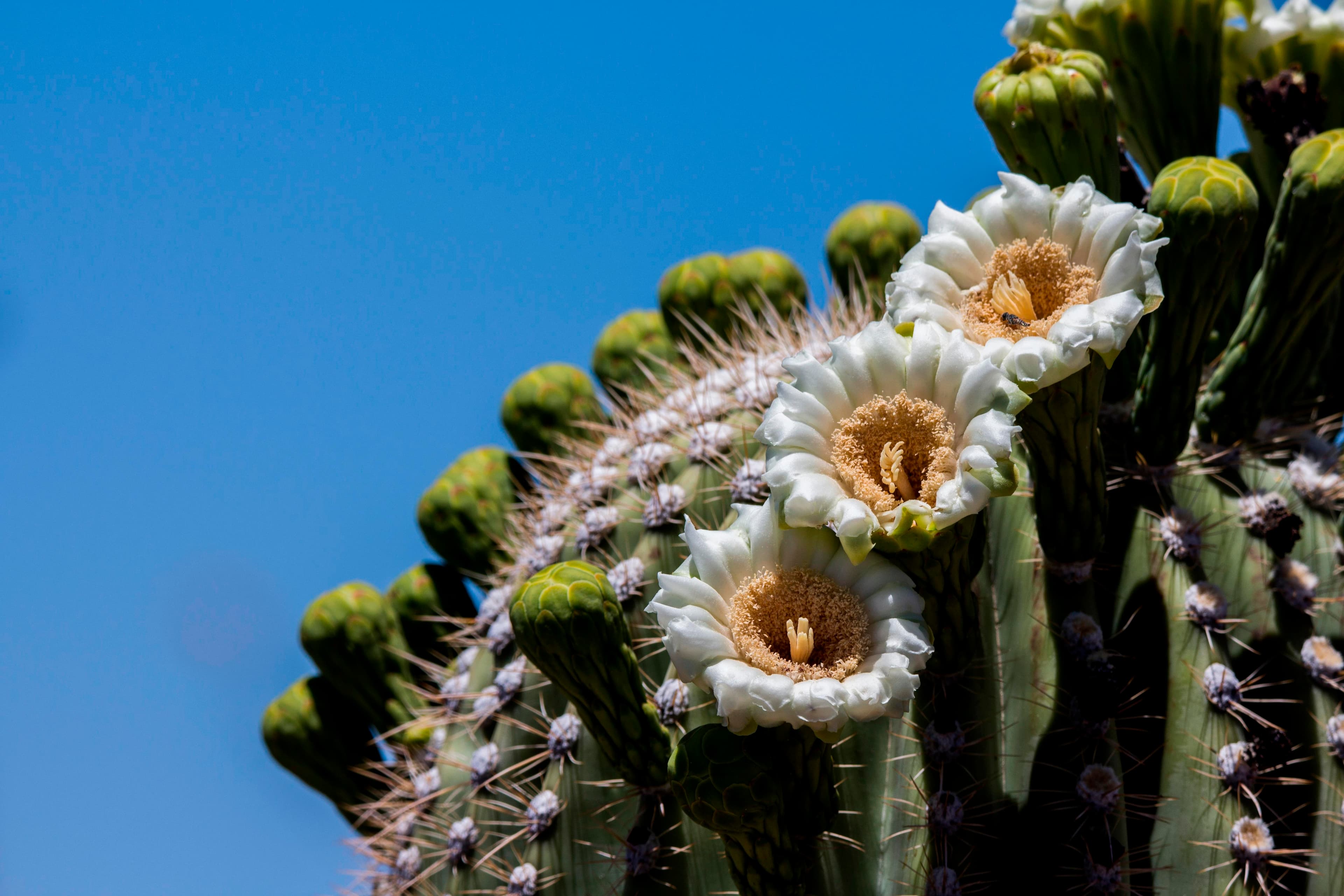
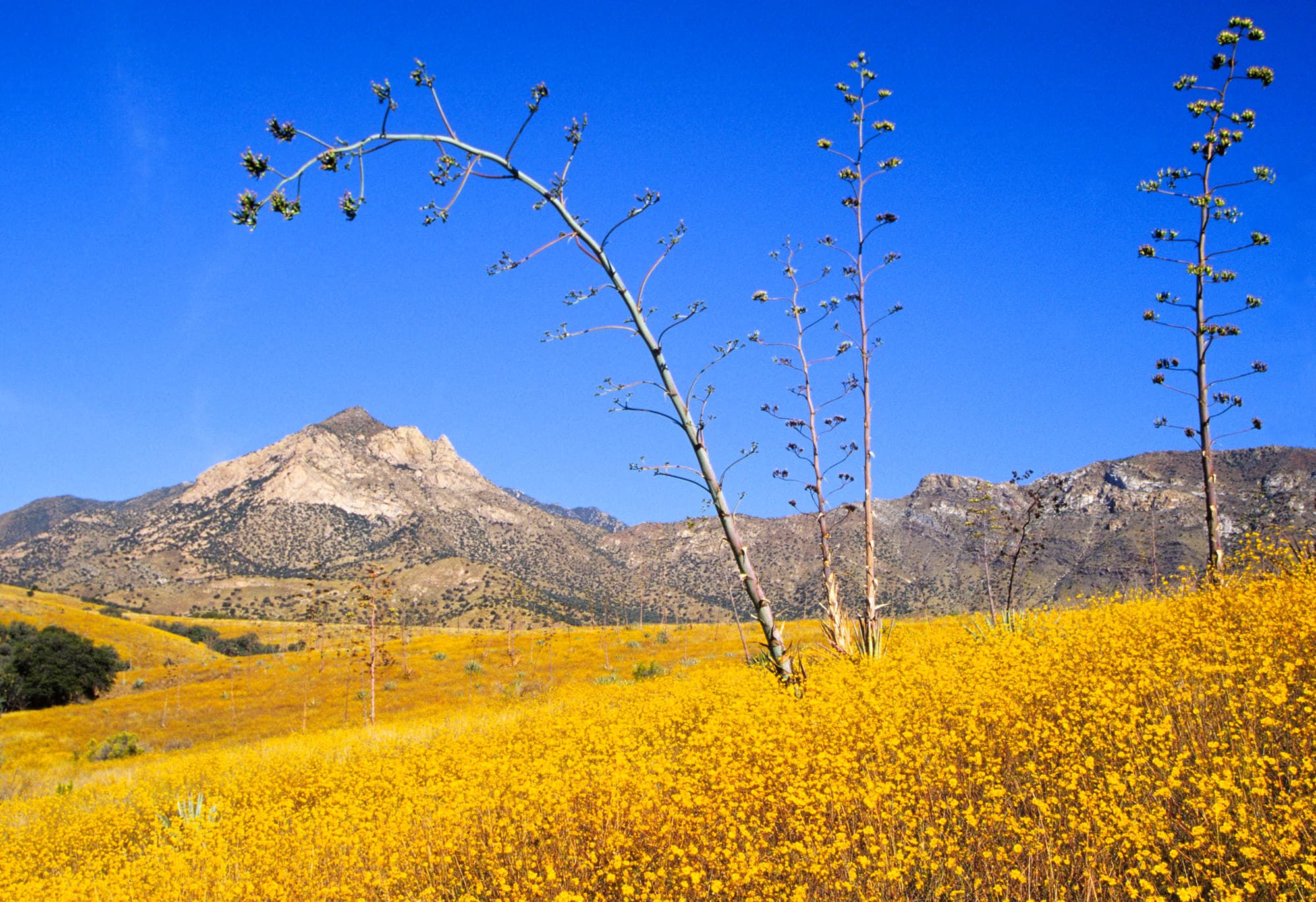
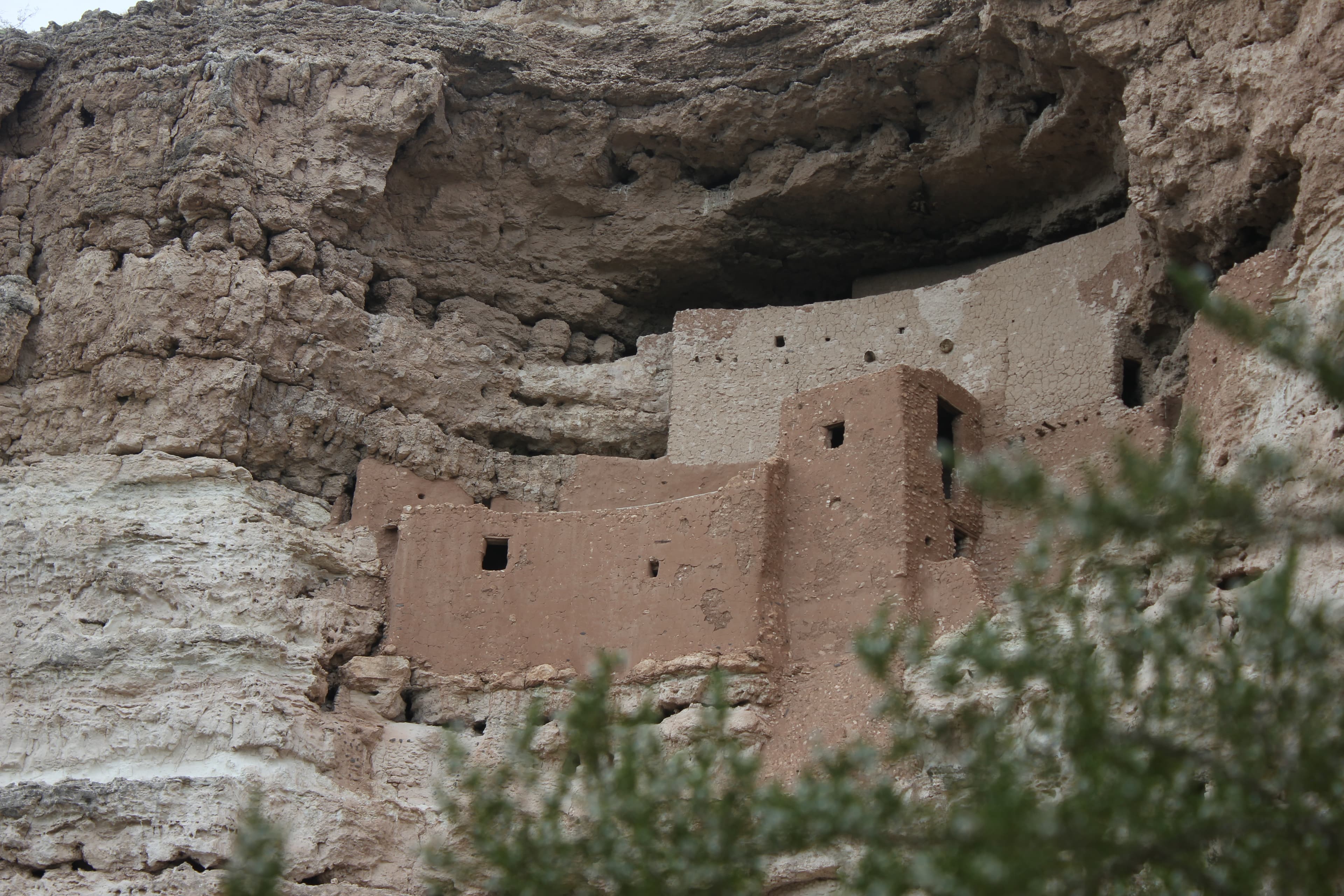
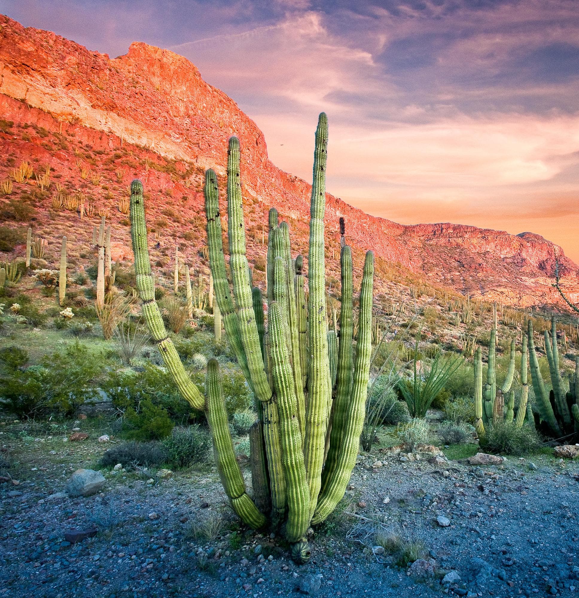
Look closely. Look again. The sights and sounds of Organ Pipe Cactus National Monument, an International Biosphere Reserve, reveal a thriving community of plants and animals. Human stories echo throughout the Sonoran Desert, chronicling thousands of years of desert living. A wilderness hike, a scenic drive, or a night of camping will expose you to a living desert abounding with hidden life.
Activities
Topics
Entrance fees
$25.00 — Entrance - Private Vehicle
$20.00 — Entrance - Motorcycle
$15.00 — Entrance - Per Person
Hours & seasons
The monument is open 365 days a year and park roads and trails are open 24 hours. There is no gate at the monument entrance; entrance fees are paid for at the visitor center. There is no dispersed camping allowed anywhere in the monument. US-Mexico Border hours are 6 am-8 pm. The main season for visitors is December through the end of April, during the mild winter months and wildflower season. Campgrounds may fill during this time; check Recreation.gov for campsite availability.
Generally open:
winterspringsummerfallHours are reported by the park — verify before you go.
📞 520-387-6849
✉ orpi_information@nps.govConditions
Quietest months (fewer crowds): Jun, Jul, Aug, Sep
Typical crowds: low
Weather now: ☀️ Clear, 79°F
☁️ 95°/69°
☁️ 92°/71°
☁️ 93°/70°
Typical monthly recreation visits · NPS avg 2023–2025 — orange months are the quietest by crowds.
Quietest months
Relative crowds by month — lighter is quieter; ringed months are the calmest by crowds.
Jan
82%
Feb
98%
Mar
100%
Apr
67%
May
41%
Jun
34%
Jul
20%
Aug
36%
Sep
33%
Oct
40%
Nov
47%
Dec
53%
Log a sky reading
Measured the sky with an SQM meter or app? Add your reading (16 = city glow … 22 = pristine). Opt in under “Travelers like you” to share it on the community leaderboard.
Things to do
Hike the Historic Old County Road! · 8 mi · 100 ft gain · Time is to hike the trail one way, not round trip.
🟢 Hike the Senita Basin Loop · 3.1 mi · 13 ft gain
🔴 Hike the Estes Canyon/Bull Pasture Loop · 3.6 mi · 4808 ft gain
Hike to Lost Cabin · 8 mi
Hike to Victoria Mine · 2.2 mi
Unearth Dripping Springs Mine · 1.4 mi · 50 ft gain
Hike Alamo Canyon · 1.8 mi · 100 ft gain
🟢 Hike Arch Canyon · 1.2 mi
Campgrounds
Alamo Canyon Campground ↗ · 4 sites
Twin Peaks Campground ↗ · 208 sites · dump station
Visitor centers
Kris Eggle Visitor Center
Accessibility
1 accessible campground(s)
21 audio-described place(s)
Reported by the park — verify before you go.
Parking
Kris Eggle Visitor Center Parking Lot · 42 accessible spacesaccessible
Not an official safety source — always defer to NPS.gov and rangers for life-safety decisions.
By the numbers
A visual read on Organ Pipe Cactus National Monument — its character, trails, sky, and weather.
Park fingerprint
How this park scores across the dimensions travelers care about.
Trail difficulty
Difficulty mix across this park's trails.
Trail profile
Each dot is a trail — distance vs. elevation gain, by difficulty.
3-day forecast
Daily high and low temperatures (°F).
Passport stamps
Mark the stamps you've collected — they show in your memory and along your routes.
🎫 Kris Eggle Visitor Center
Places to see
Ajo Mountain Drive Stop 1
audio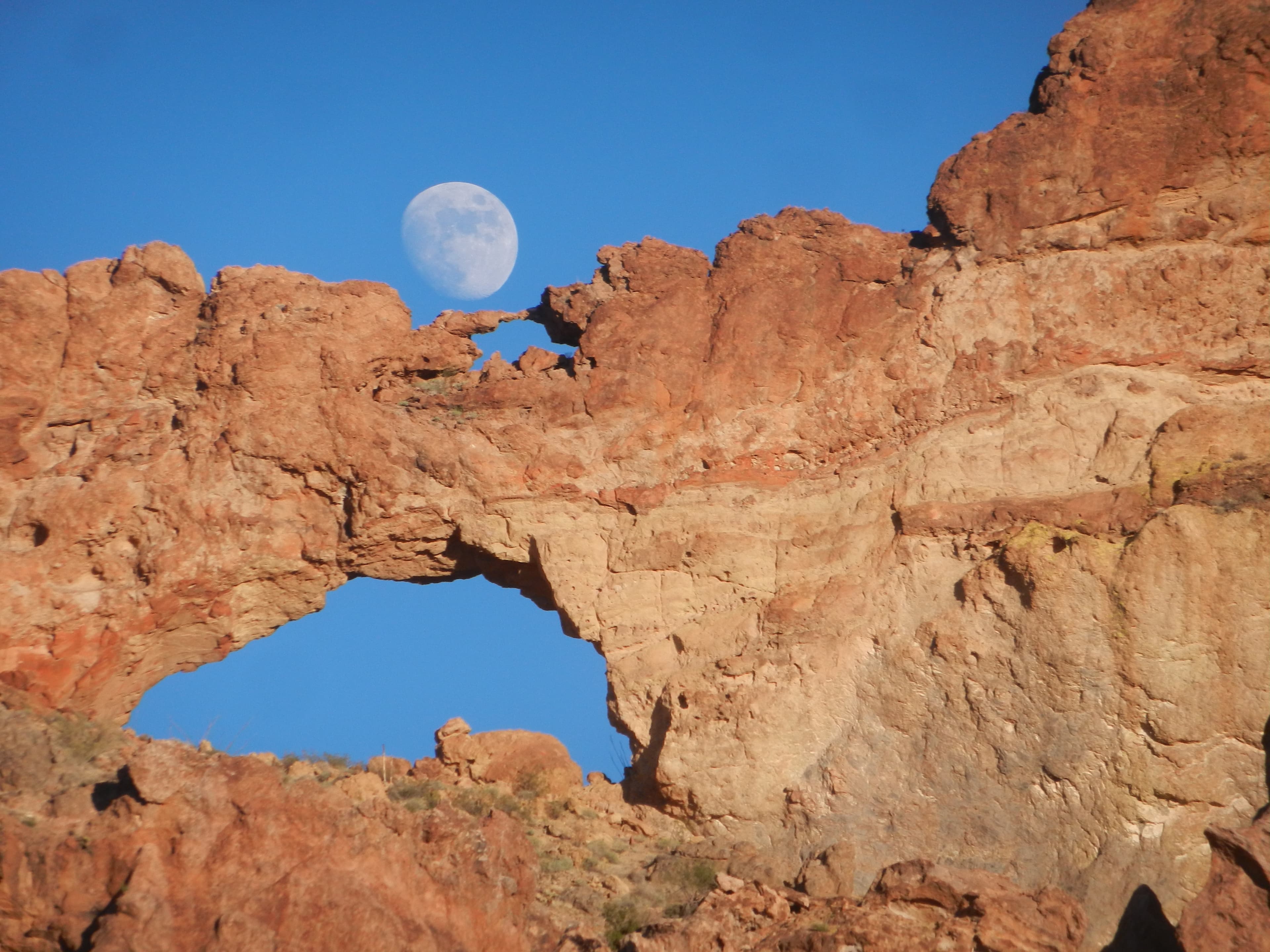
Ajo Mountain Drive Stop 10
audio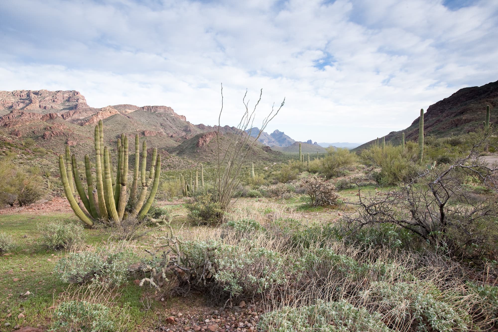
Ajo Mountain Drive Stop 11
audio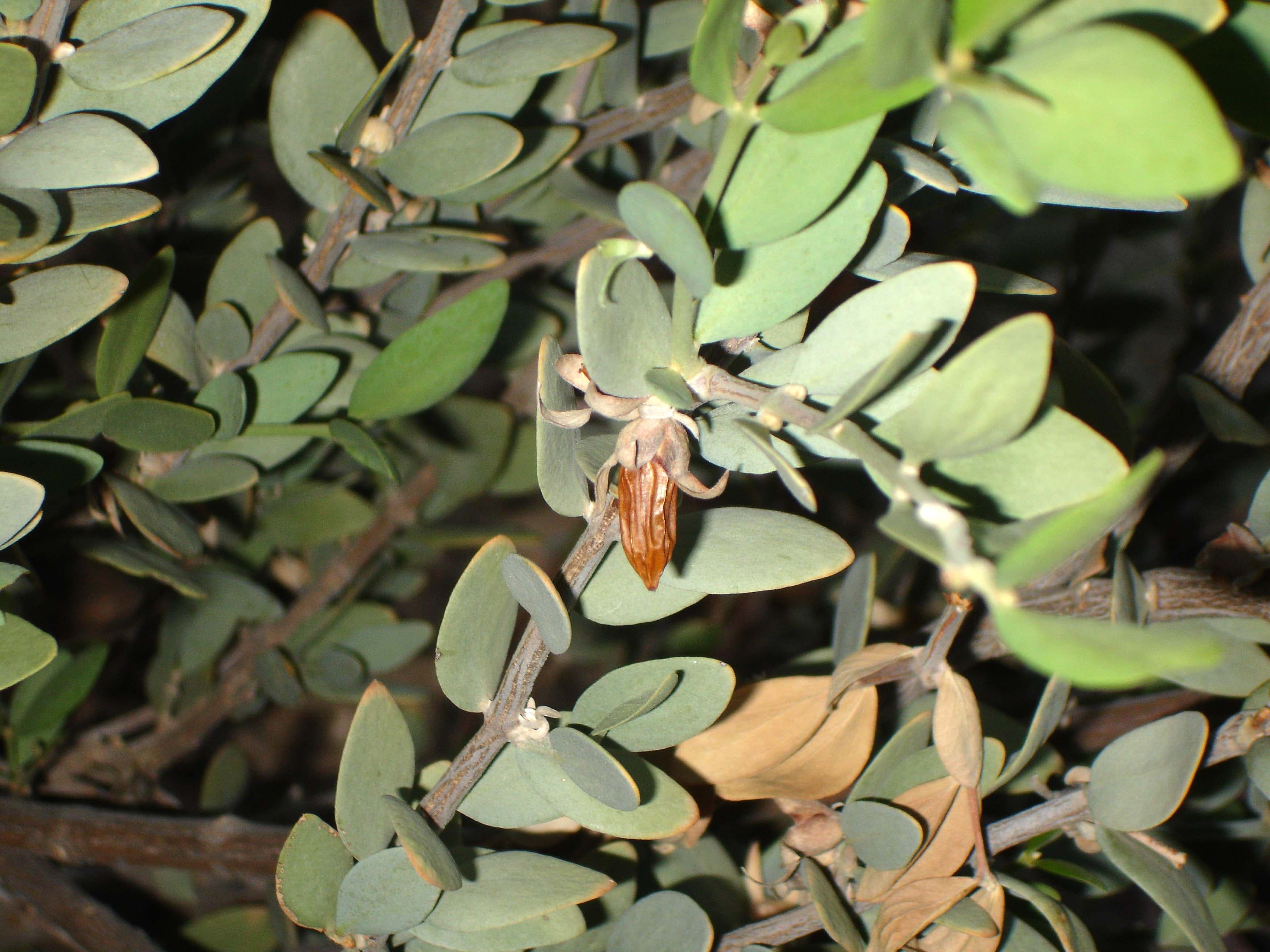
Ajo Mountain Drive Stop 12
audio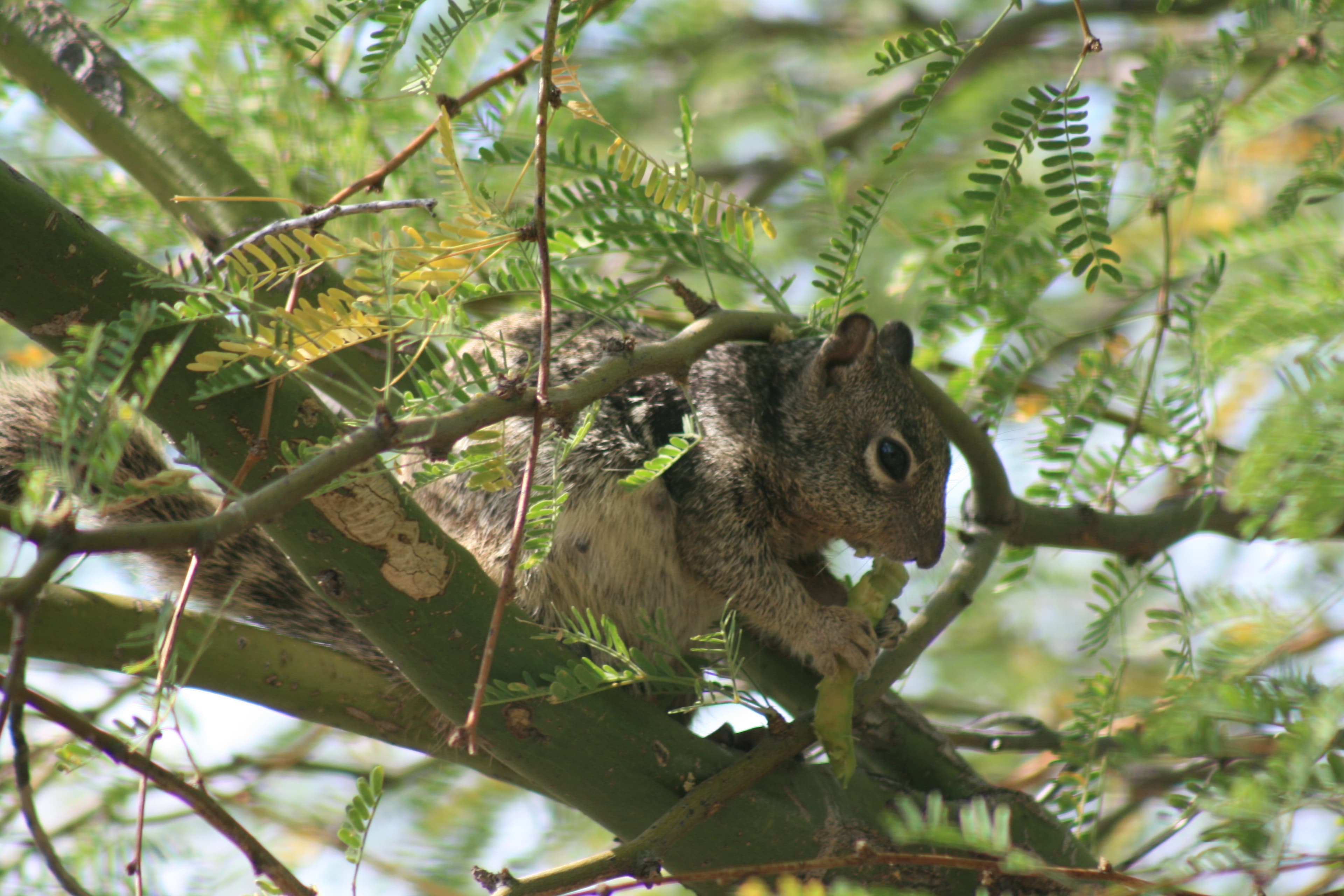
Ajo Mountain Drive Stop 13
audio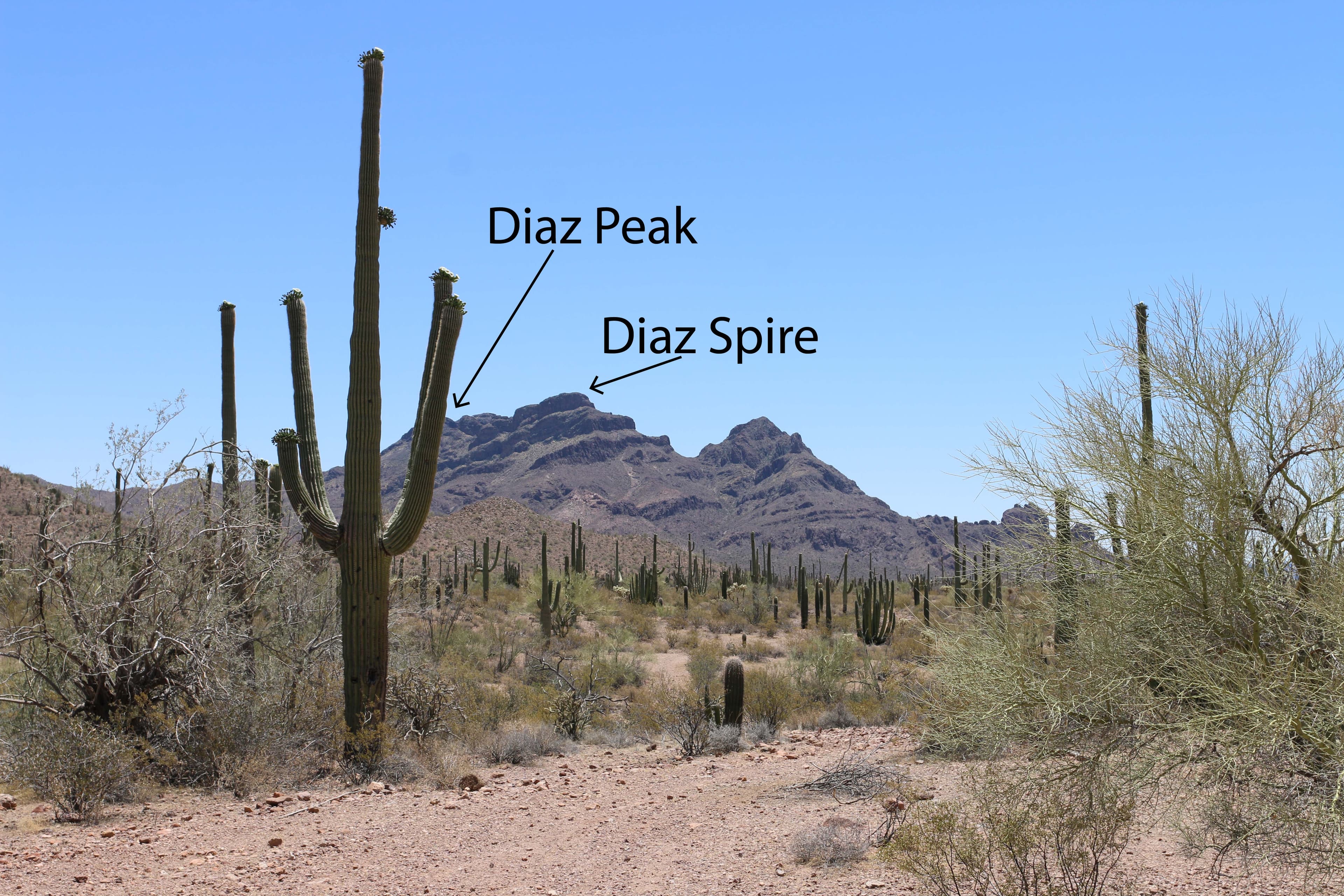
Ajo Mountain Drive Stop 14
audio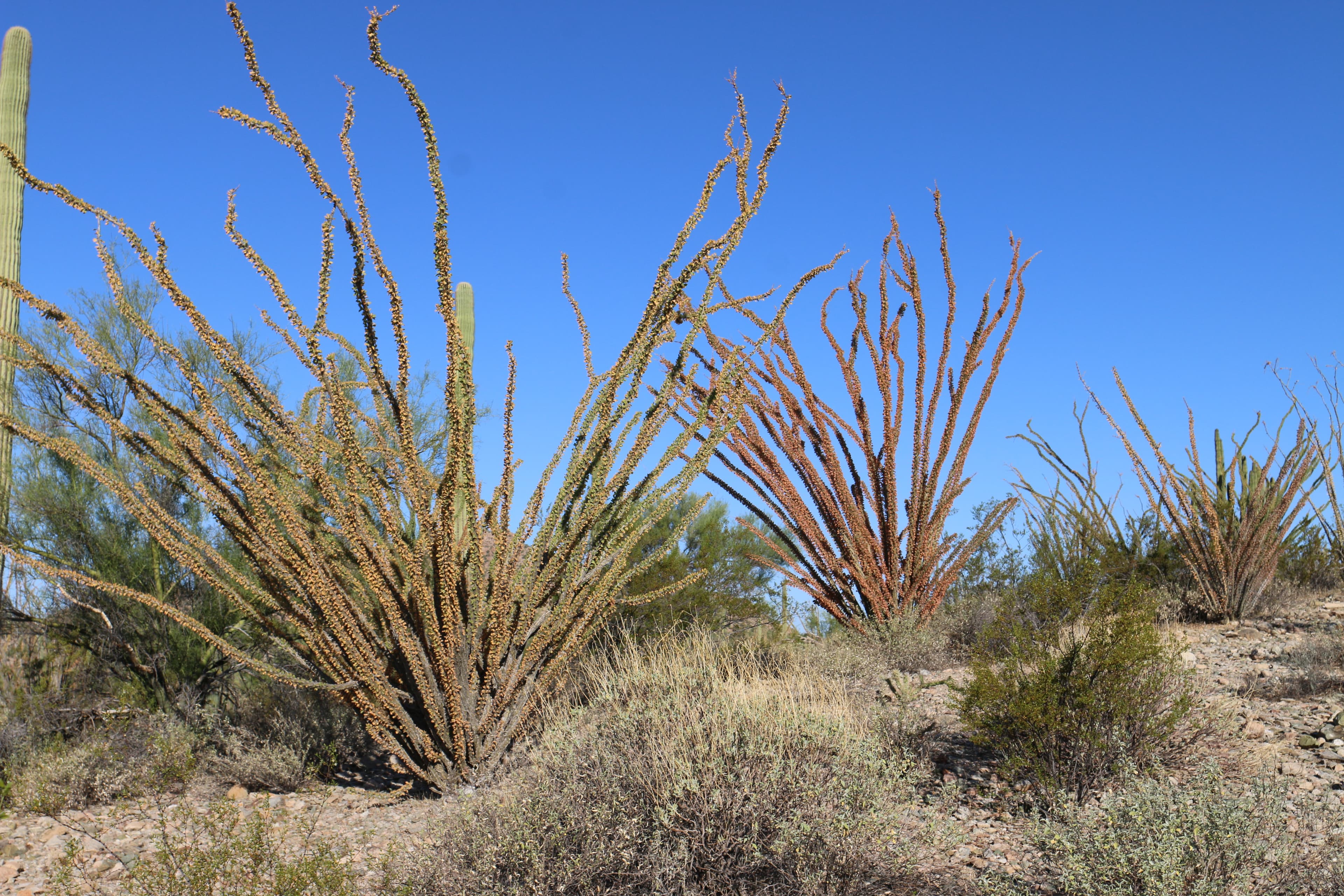
Ajo Mountain Drive Stop 15
audio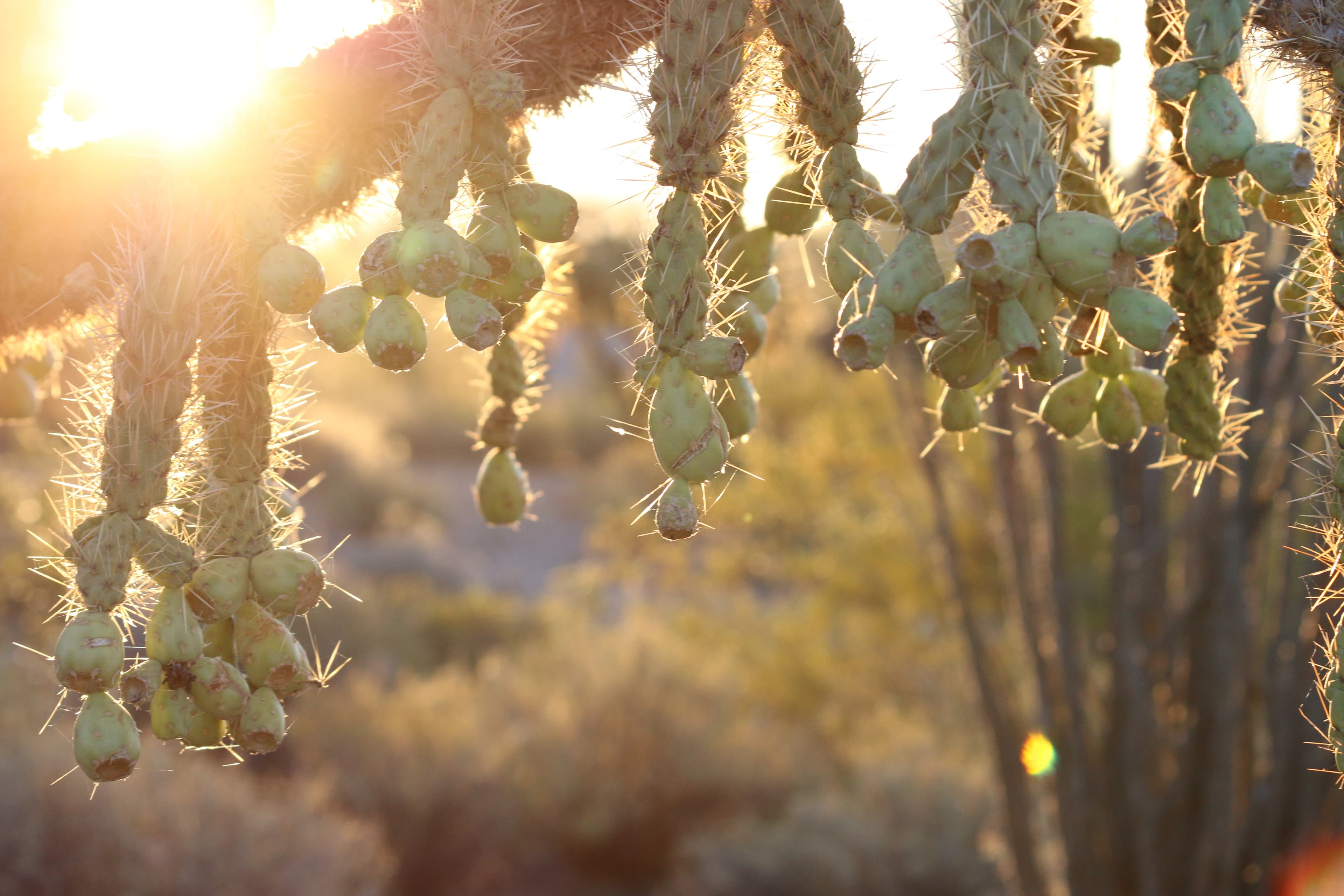
Ajo Mountain Drive Stop 16
audio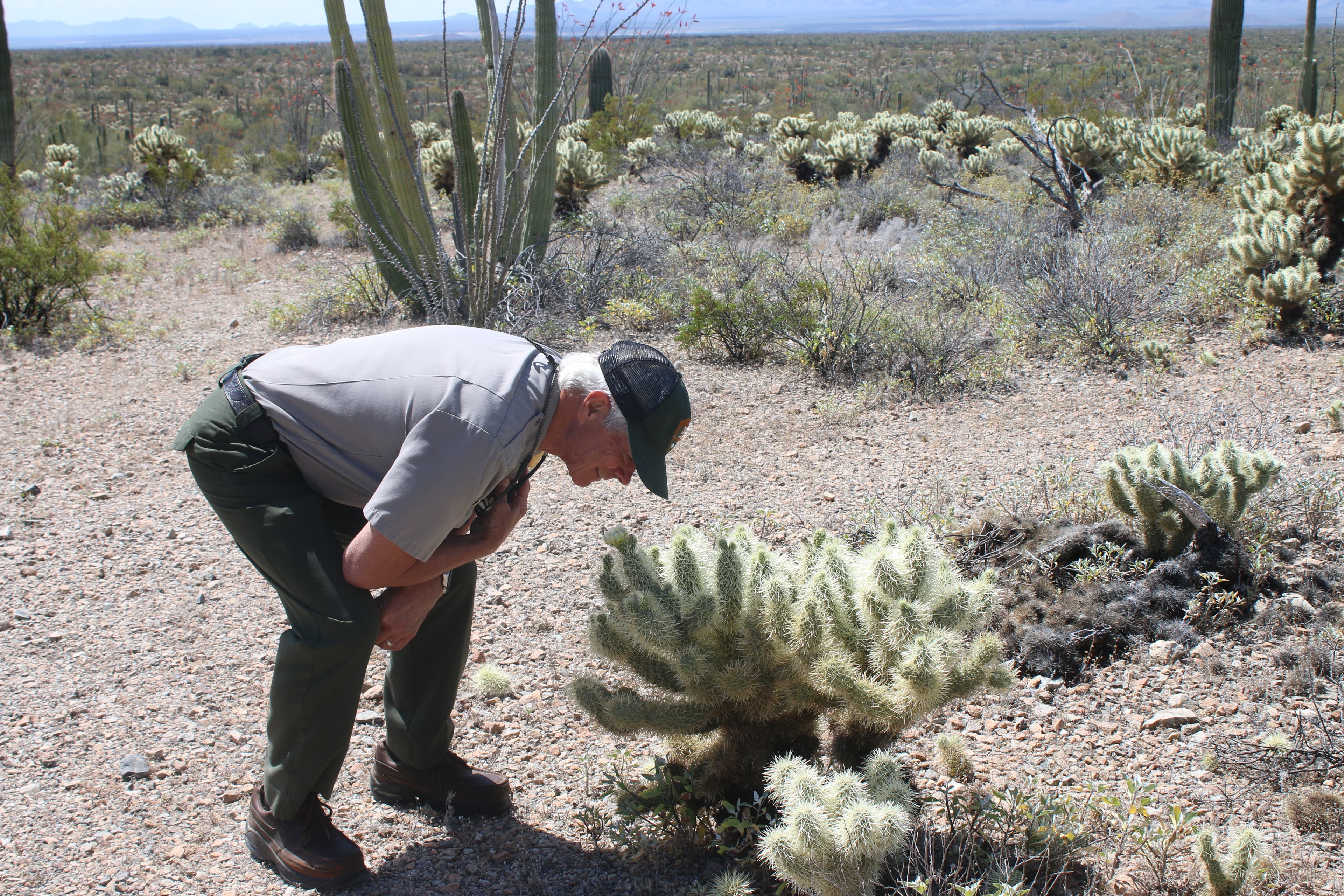
Ajo Mountain Drive Stop 17
audio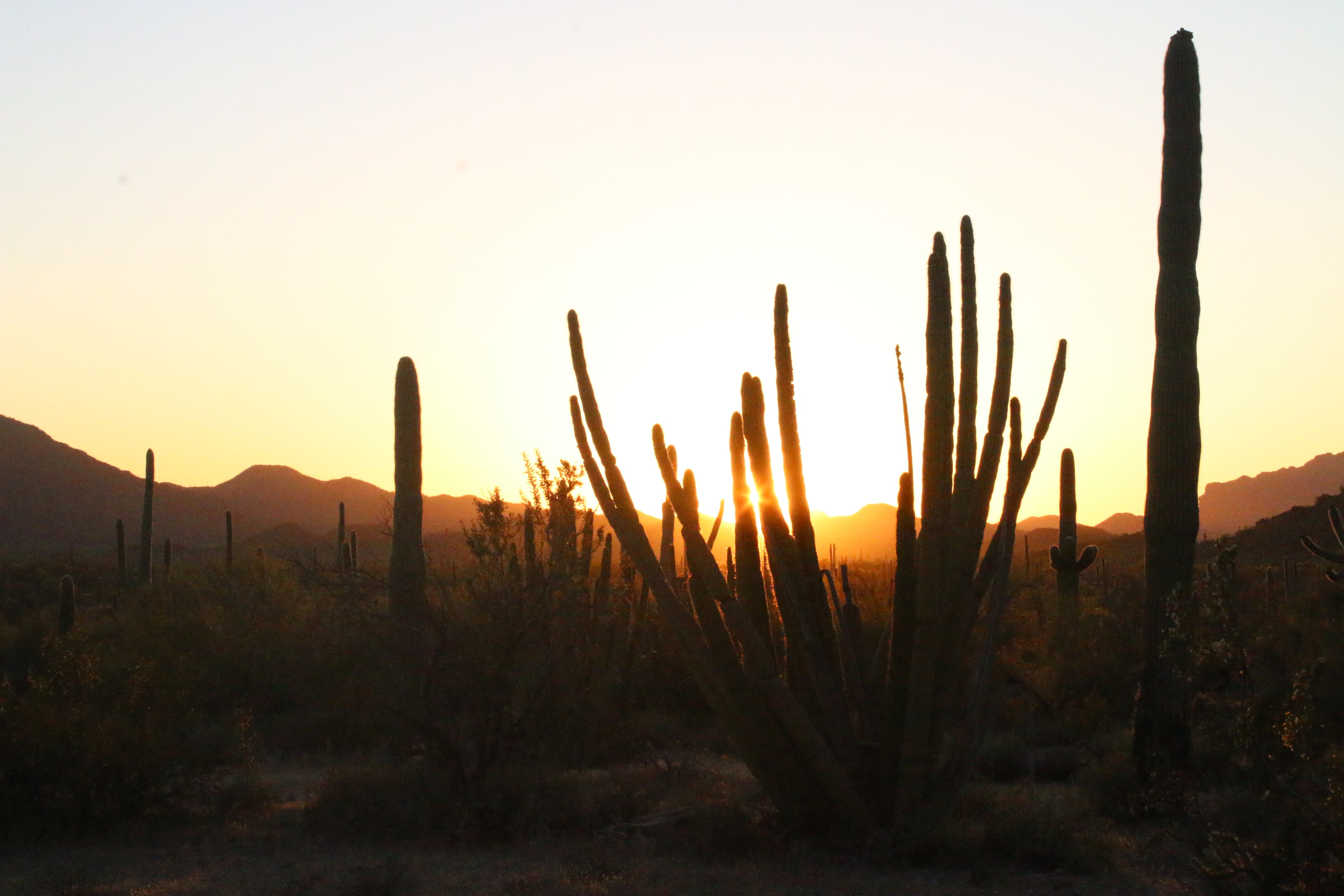
Ajo Mountain Drive Stop 18
audio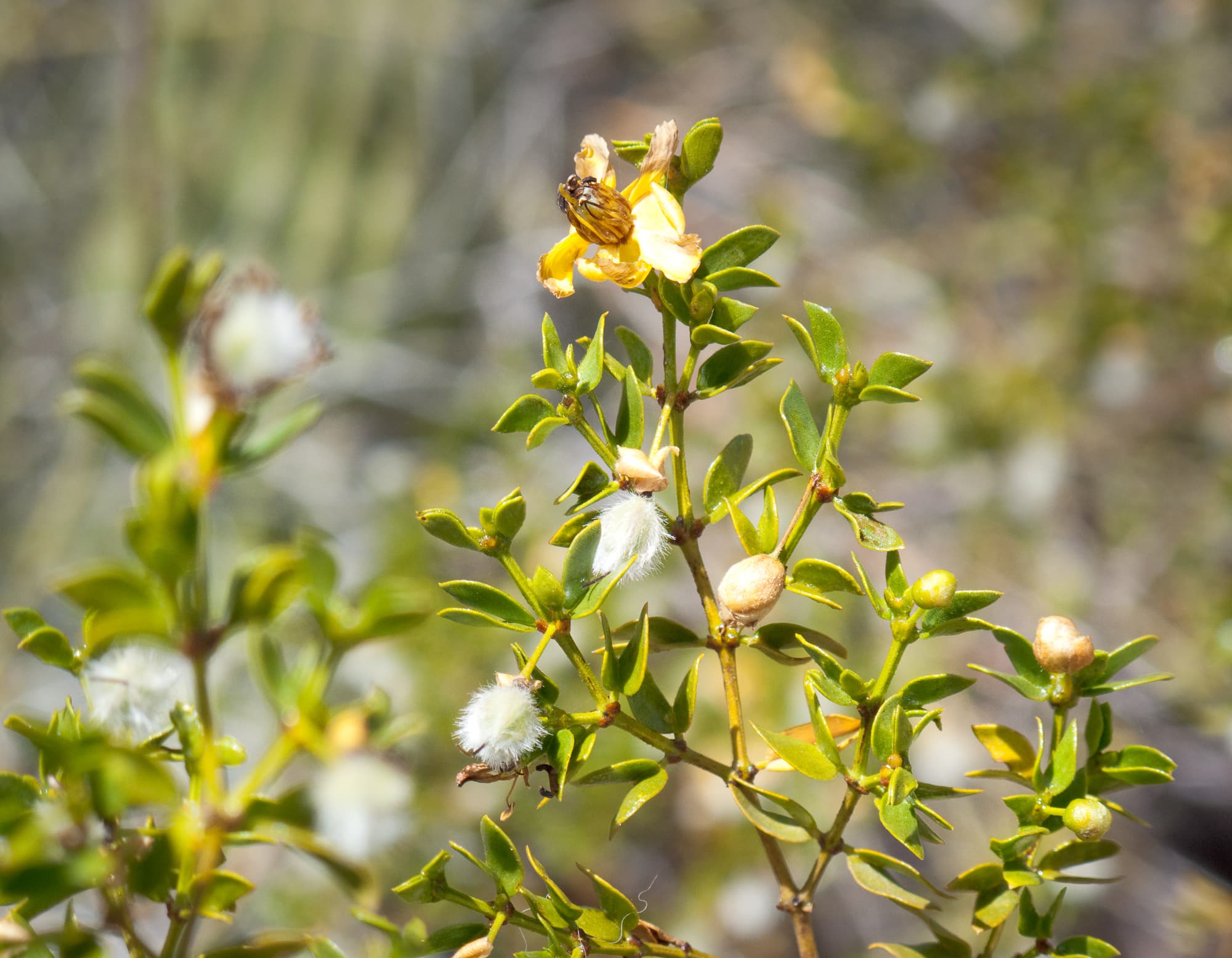
Ajo Mountain Drive Stop 2
audio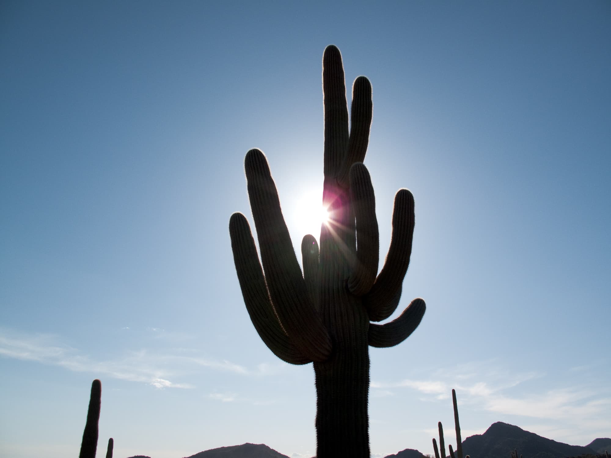
Ajo Mountain Drive Stop 3
audioAudio & media
🎧
🎬
🖼
Learn more
When the climate changes enough, the vegetation communities growing in any given place will also change. Under an expanded bimodal climate zone, some plant communities in western national parks are more likely to change than others. National Park Service ecologists and partners investigated the future conditions that may force some of this change. Having this information can help park managers decide whether to resist, direct, or accept the change.
Better training for employees means better chances for bats in Organ Pipe National Monument!
Thanks to funding from the Bipartisan Infrastructure Law, NPS projects in the West hope to collect native seeds to aide in accelerating repairs to damage due to wildfire, mining, flood, or other causes.
The Cenozoic Era (66 million years ago [MYA] through today) is the "Age of Mammals." North America’s characteristic landscapes began to develop during the Cenozoic. Birds and mammals rose in prominence after the extinction of giant reptiles. Common Cenozoic fossils include cat-like carnivores and early horses, as well as ice age woolly mammoths.
A social insect biologist analyzes longtime environmental impacts on population size and survival.
Across the US, changes in water availability are altering which plants grow where. These changes are evident at a broad scale. But not all areas experience the same climate in the same way, even within the boundaries of a single national park. A new dataset gives park managers a valuable tool for understanding why vegetation has changed and how it might change in the future under different climate-change scenarios.
Climate is one of many ecological indicators monitored by the National Park Service (NPS) Division of Inventory & Monitoring (I&M). Climate data help scientists to understand ecosystem processes and help to explain many of the patterns and trends observed in other natural-resource monitoring. In NPS units of the American Southwest, three I&M networks monitor climate using the scientific protocol described here.
Sonoran Desert Network scientists visit Organ Pipe National Monument every year to monitor climate and groundwater. By taking measurements of these key resources each year, we can better understand how they may be changing over time. This information can help us understand changes in other natural resources on the park as well. This report summarizes Water Year 2024 climate and groundwater data at the park.
How Organ Pipe Cactus National Monument connects
This park's activities, topics, location, and on-the-ground places — one hop in the graph. Drag to explore; click an activity, topic, or related park to follow it.
Park
Activity
Topic
State
Campground
VisitorCenter
PassportStamp
ParkingLot
Trail
ThingToDo
Alert
Similar parks
Share activities & topics with Organ Pipe Cactus National Monument.