Tonto National Monument
Arizona
Tonight
🌓 65% moon
9 h fully dark
Crowds
low
Open today
Open
Tonto National Monument: closed Nov 26 – Nov 26
Entrance
$10
Stage One Fire Restrictions currently in Place
Effective as of May 17th, 2026, Tonto National Monument will be under stage one fire restrictions. Building any fires with Charcoal or Wood, including Smoking is prohibited in all areas. Exceptions are propane and liquid petroleum stoves or lanterns.
Official NPS alert →Change in Hours for Summer Season
Due to the potential of excessive summer heat, starting Monday May 4, The Lower Cliff Dwelling Trail will close at 12:00P.M. The visitor center & park will remain open until 4:00P.M. These hours will be in place until Saturday October 3.
Water is Required
Due to the trail being steep of 12 percent grade, all visitors wishing to hike the Lower Cliff Dwelling Trail must bring a water bottle with them. No Exceptions.
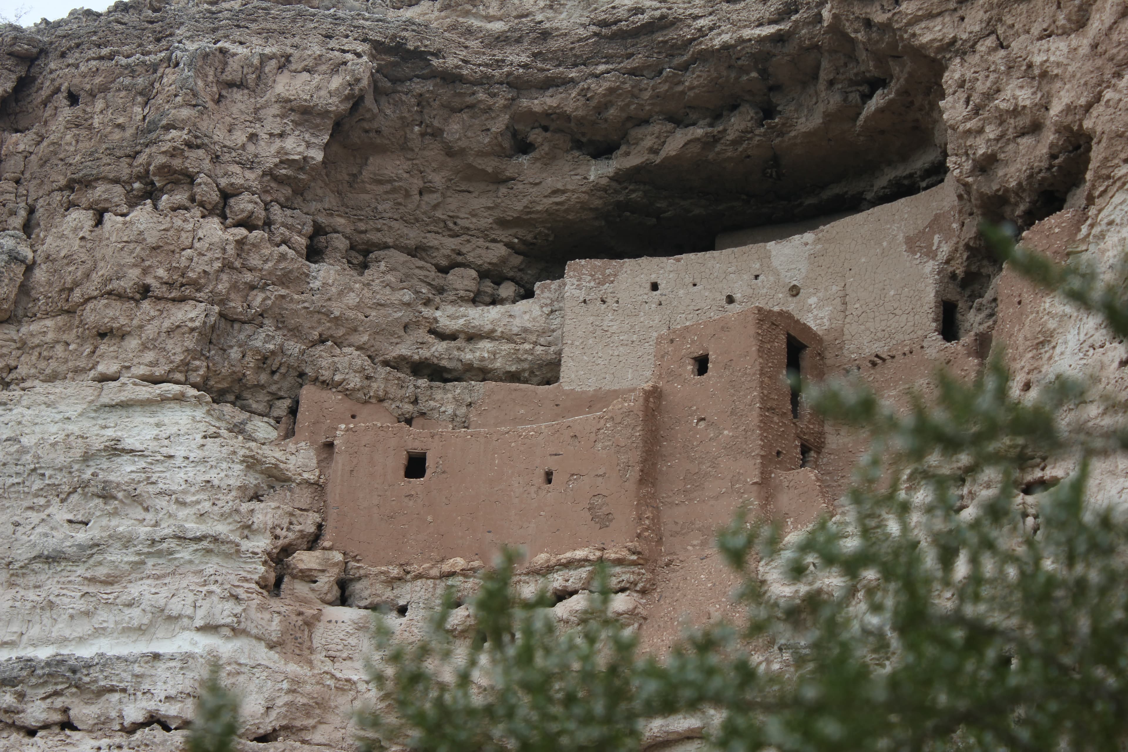
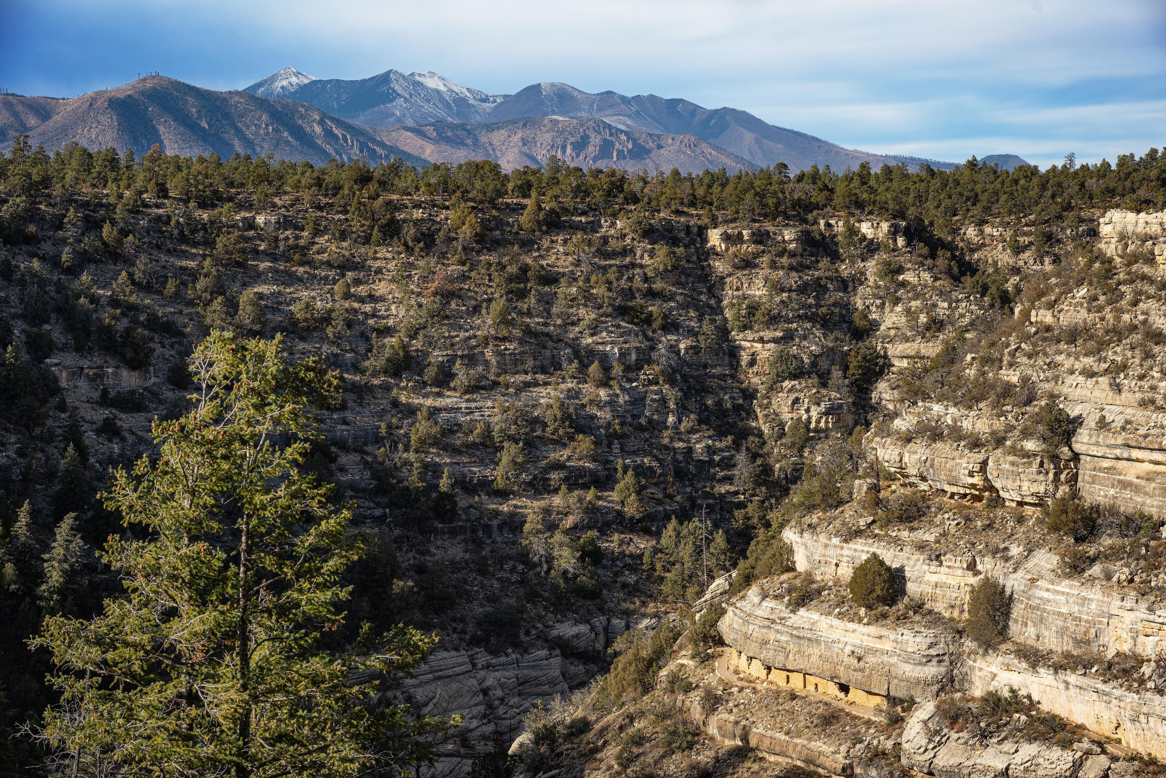
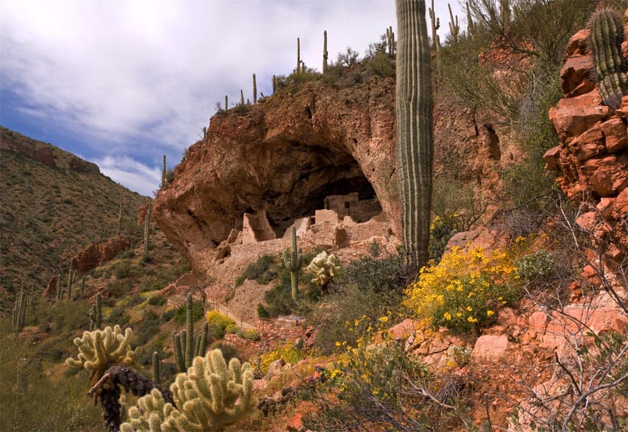
Located within the northern range of the Sonoran Desert lie two cliff dwellings that were occupied from 1300-1450 CE (common era). They represent a vibrant culture consisting of local and immigrant groups that lived in the Tonto Basin. Together they formed a new ideology, which archeologists refer to as Salado. Today, descendants of the cliff dwellers continue to call Arizona home.
Activities
Entrance fees
$10.00 — Entrance - Per Person
$0.00 — Entrance - Education/Academic Groups
Hours & seasons
Tonto National Monument is open 8:00 am to 4:00 pm all year round. The park is closed Thanksgiving Day, Christmas Day, and New Year's Day. The park closes early at 1:45 pm on Christmas Eve and New Year's Eve. October 3rd through May 3rd, the Lower Cliff Dwelling trail is open 8 am to 3 pm. May 4th to October 3rd, you must start your hike before 12 pm (noon). The Visitor Center, store and museum are open from 8 am to 4 pm.
⚠ Tonto National Monument: closed Nov 26 – Nov 26
Generally open:
winterspringsummerfallHours are reported by the park — verify before you go.
📞 9284672241
✉ tont_information@nps.govConditions
Quietest months (fewer crowds): Jun, Jul, Aug, Sep
Typical crowds: low
Weather now: ⛅ Partly cloudy, 90°F
☁️ 93°/69°
☁️ 93°/74°
🌦️ 88°/73°
Typical monthly recreation visits · NPS avg 2023–2025 — orange months are the quietest by crowds.
Quietest months
Relative crowds by month — lighter is quieter; ringed months are the calmest by crowds.
Jan
51%
Feb
61%
Mar
100%
Apr
72%
May
33%
Jun
24%
Jul
15%
Aug
16%
Sep
24%
Oct
26%
Nov
47%
Dec
38%
Log a sky reading
Measured the sky with an SQM meter or app? Add your reading (16 = city glow … 22 = pristine). Opt in under “Travelers like you” to share it on the community leaderboard.
Things to do
Hike the Lower Cliff Dwelling Trail · 1 mi · 350 ft gain · <p>Average of 1 hour roundtrip. Length of time will vary depending on hiking pace and length of time in the cliff dwelling.</p>
Visitor centers
Visitor Center
Accessibility
5 audio-described place(s)
Reported by the park — verify before you go.
Not an official safety source — always defer to NPS.gov and rangers for life-safety decisions.
By the numbers
A visual read on Tonto National Monument — its character, trails, sky, and weather.
Park fingerprint
How this park scores across the dimensions travelers care about.
Trail difficulty
Difficulty mix across this park's trails.
Trail profile
Each dot is a trail — distance vs. elevation gain, by difficulty.
3-day forecast
Daily high and low temperatures (°F).
People & stories
Figures tied to Tonto National Monument — each spans a cross-park journey.
Adolph Bandelier
— Bandelier National Monument, Tonto National MonumentAngeline Mitchell
— Tonto Basin, Tonto National Monument, Lower Cliff DwellingCharlie Steen
Frank "Boss" Pinkley
— Pinkley, Boss, NPS HistoryLouis Caywood
— Archeologist, Archaeologist, History Of ArcheologyPassport stamps
Mark the stamps you've collected — they show in your memory and along your routes.
🎫 Visitor Center
Places to see
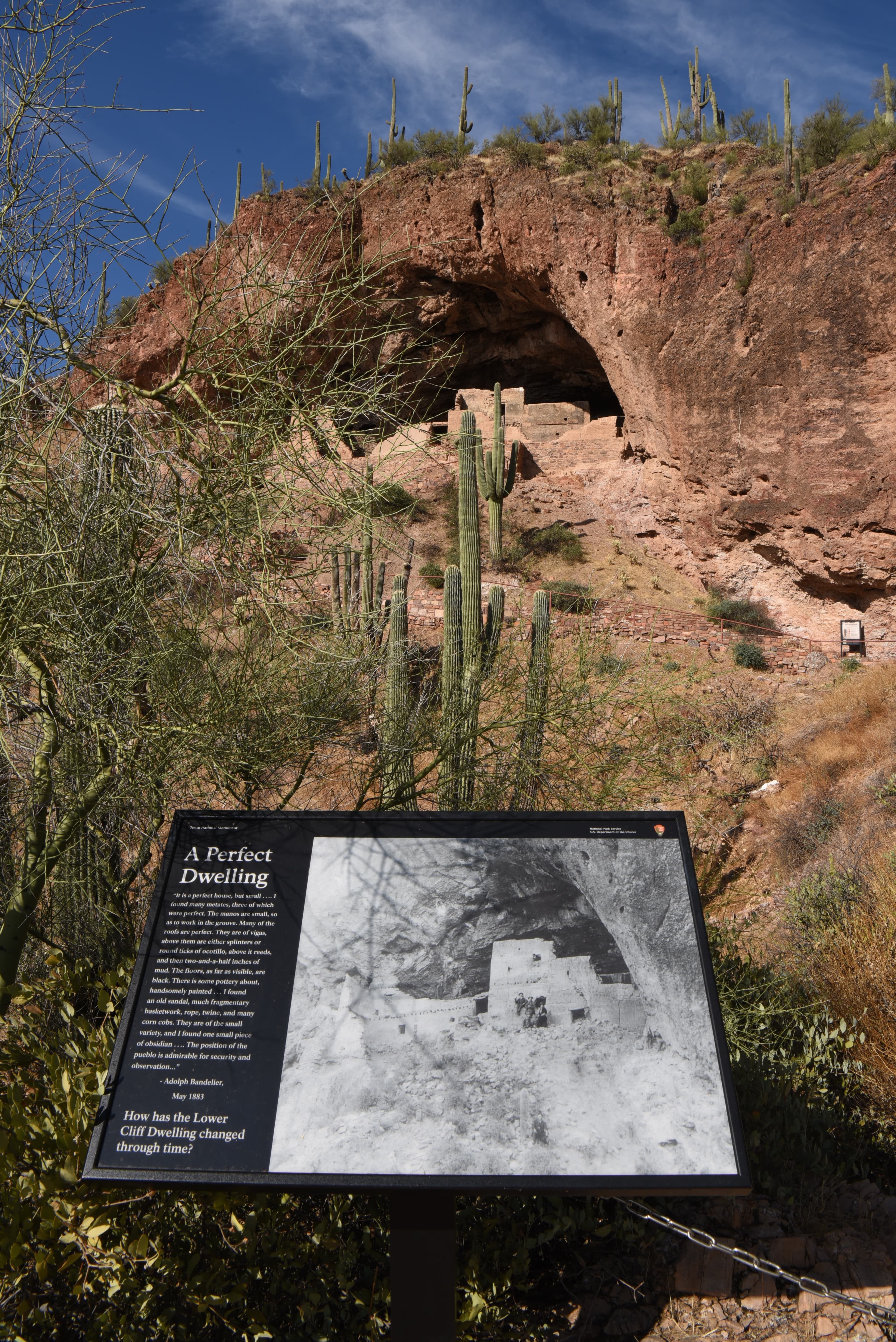
A Perfect Dwelling Wayside
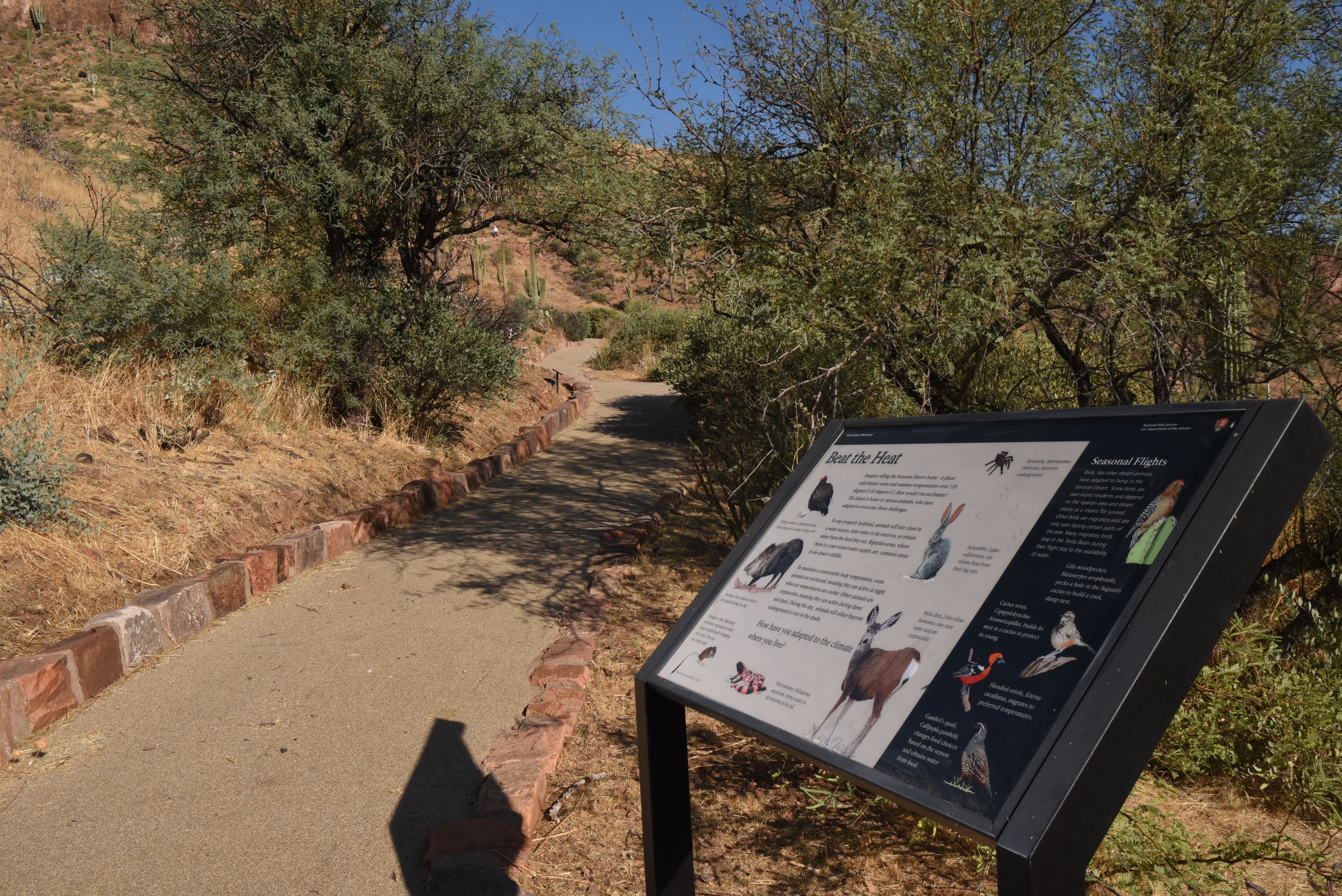
Beat the Heat Wayside
audio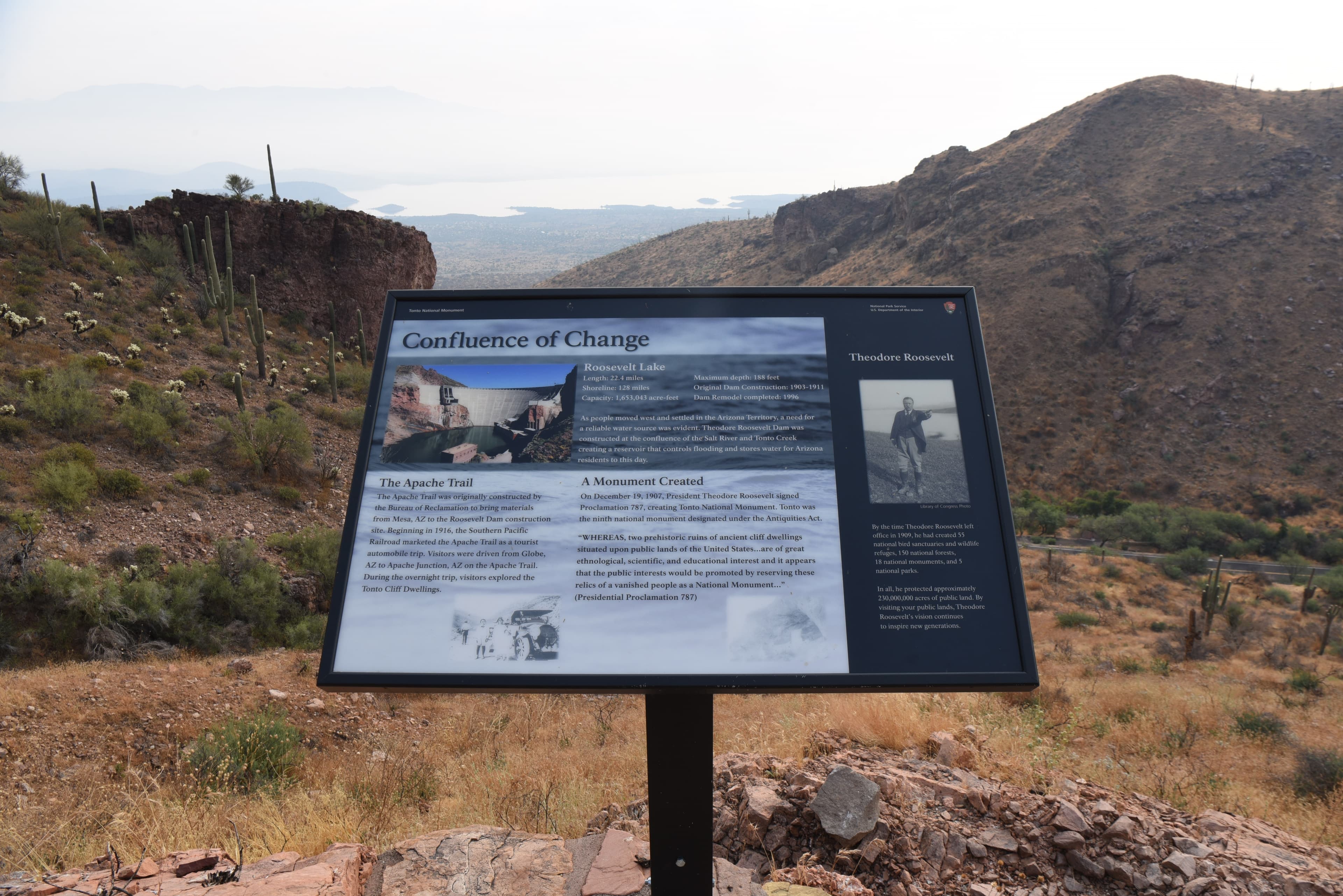
Confluence of Change Wayside
audio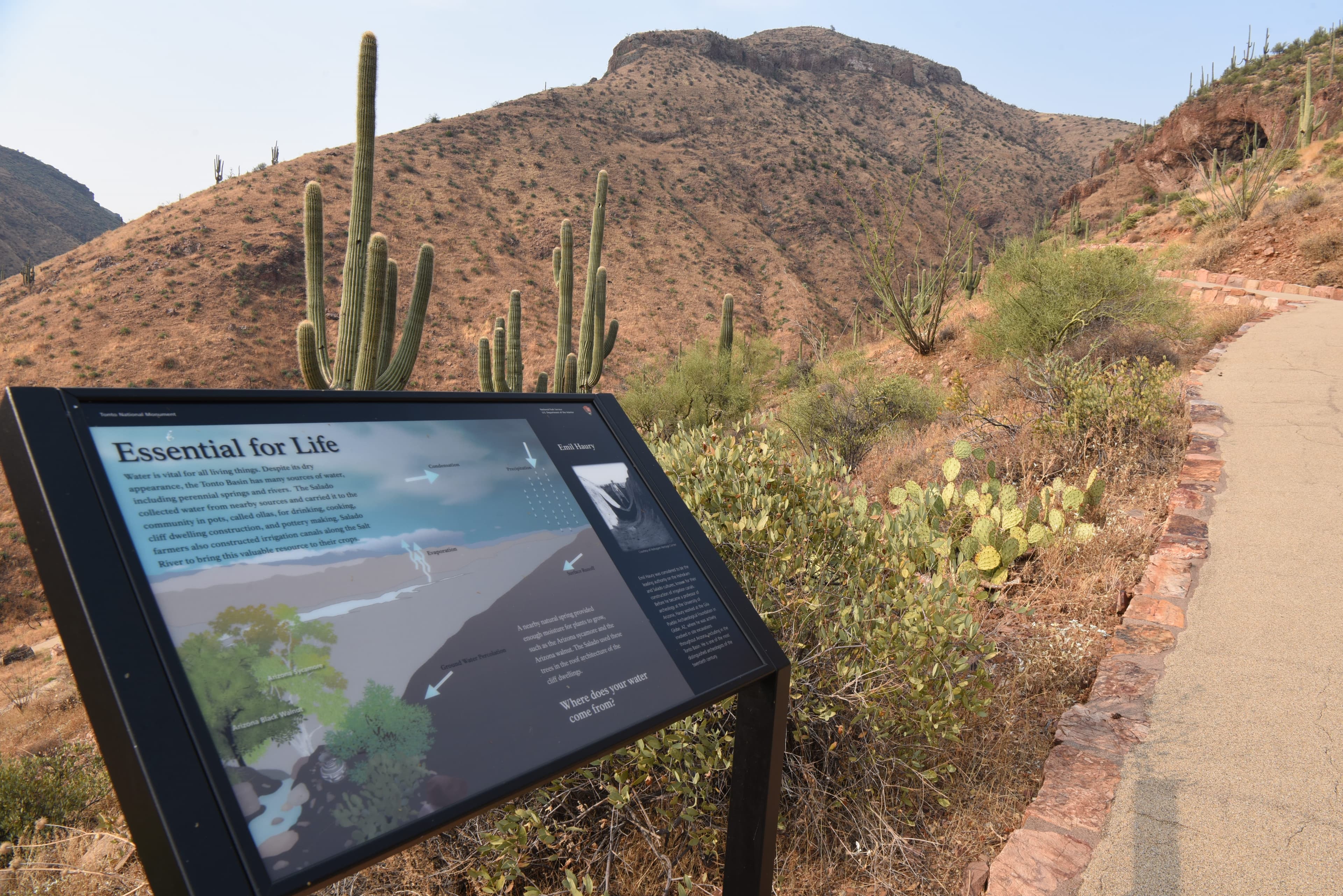
Essential for Life Wayside
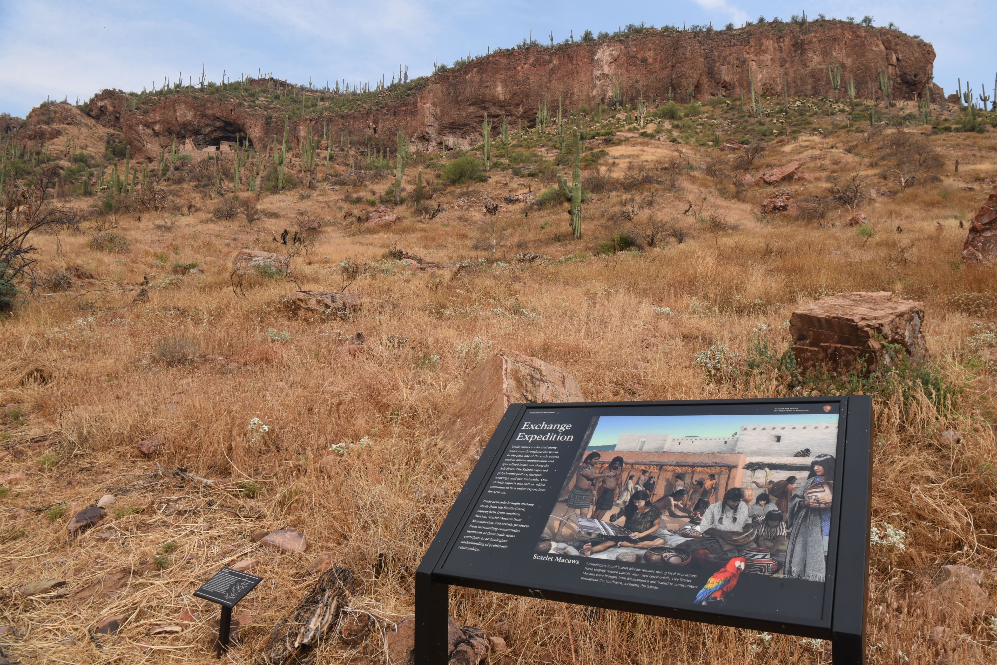
Exchange Expedition Wayside
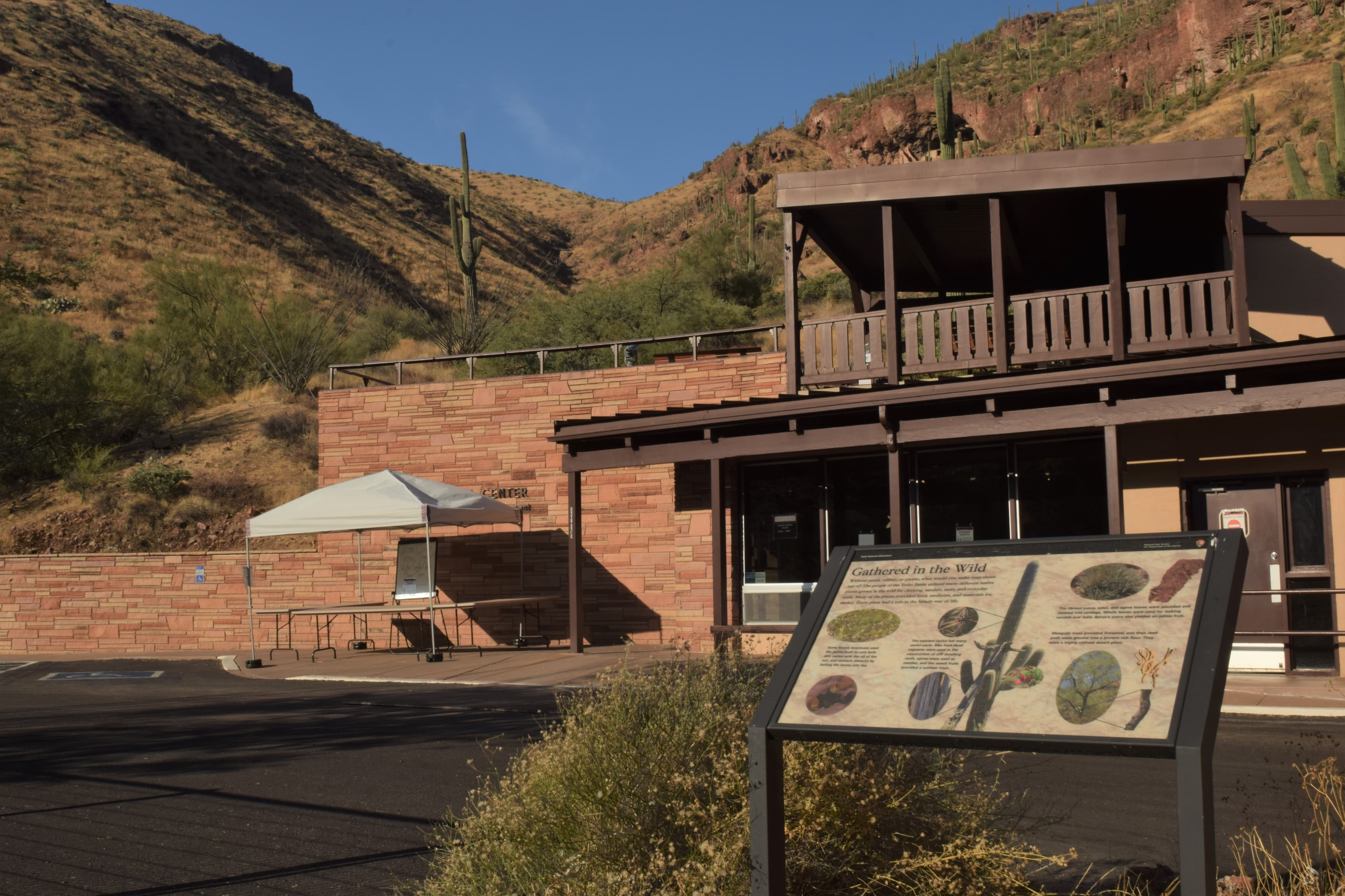
Gathered in the Wild Wayside
audio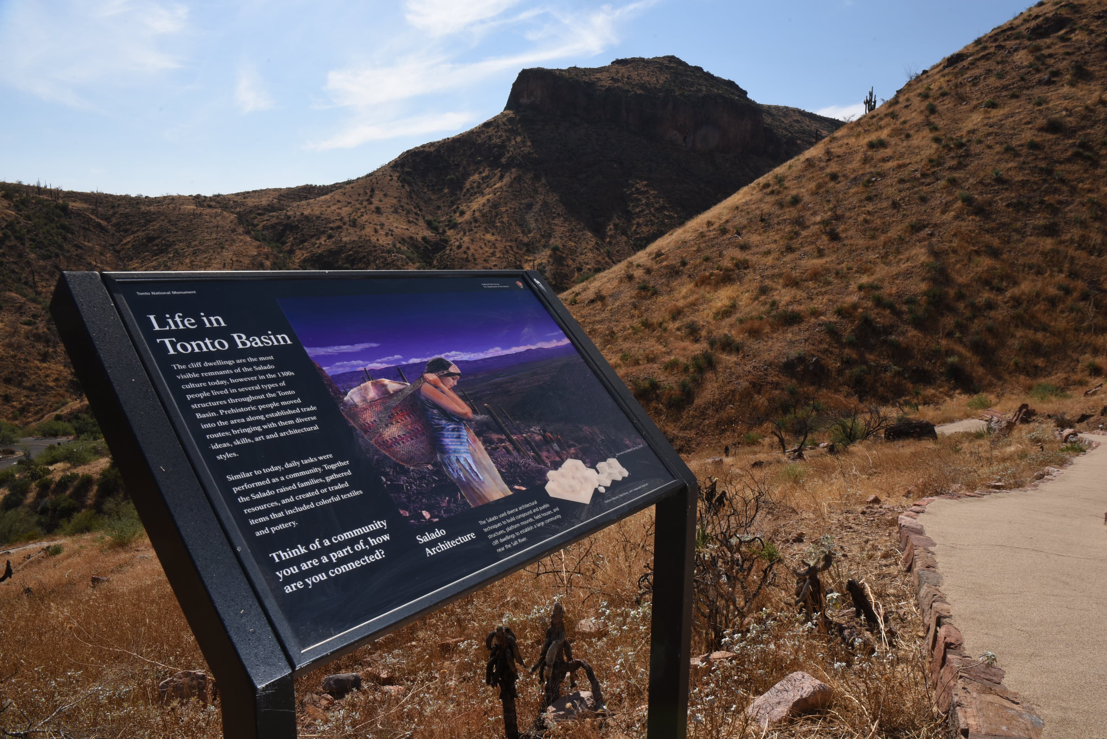
Life in Tonto Basin Wayside
Lower Cliff Dwelling
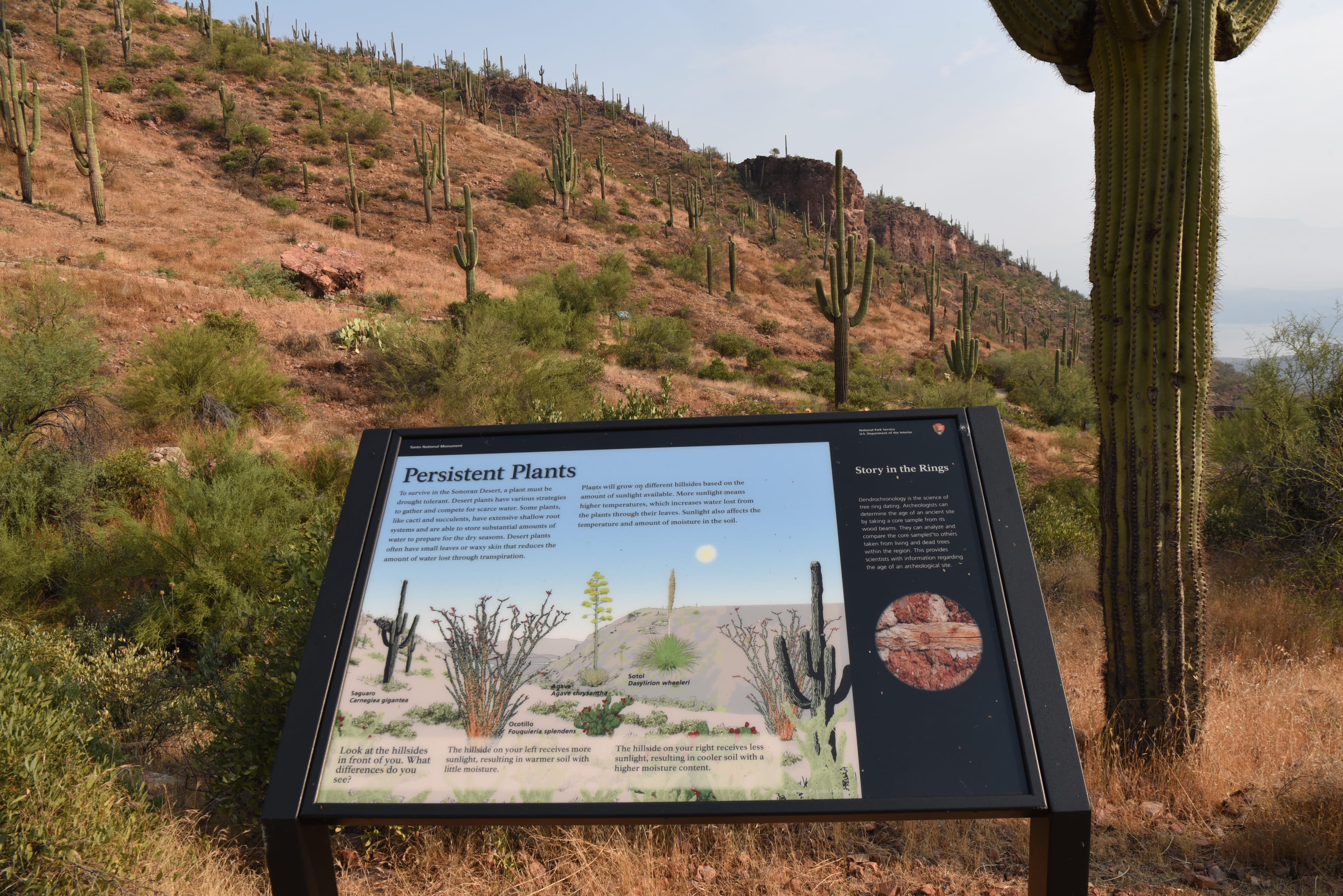
Persistent Plants Wayside
audio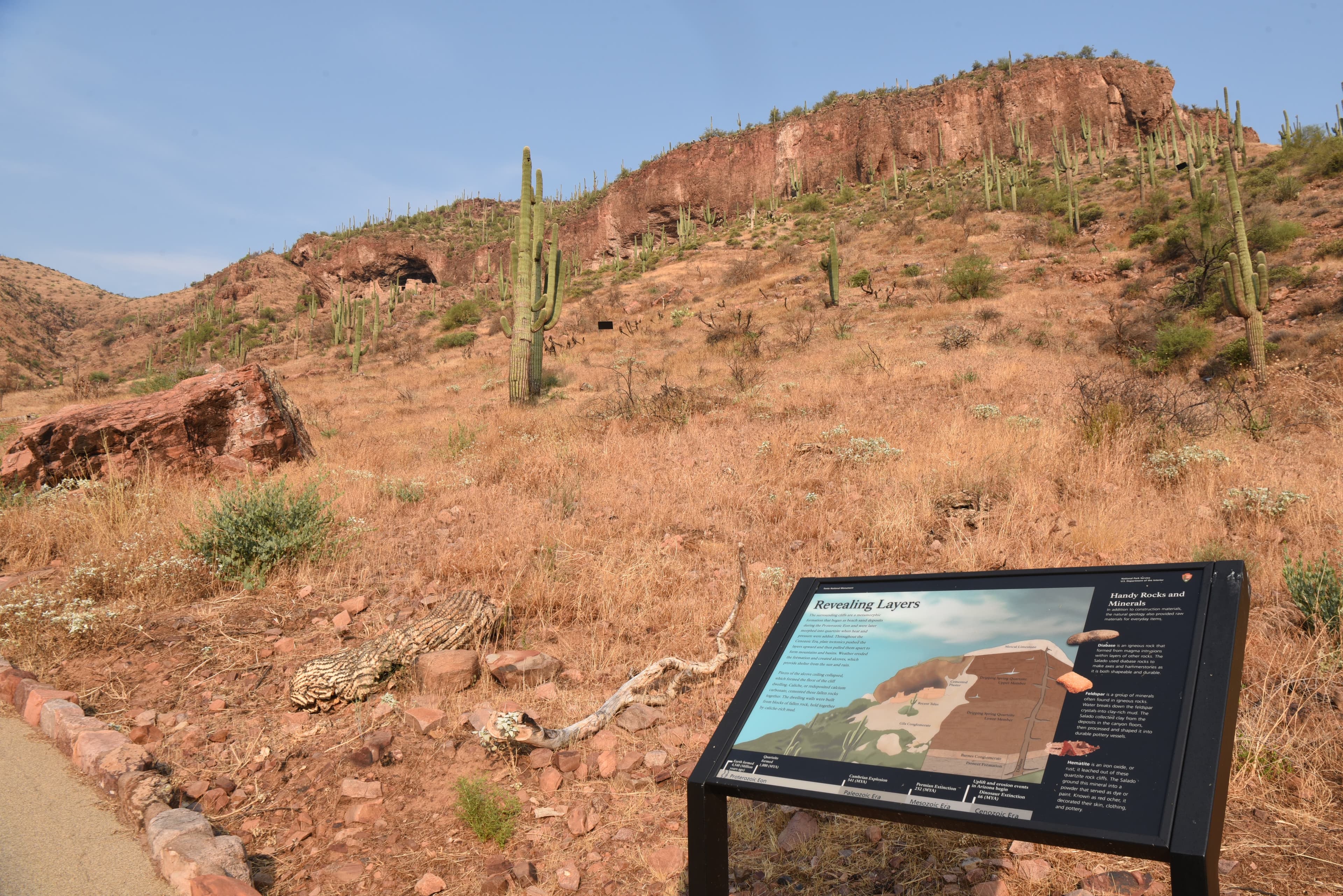
Revealing Layers Wayside
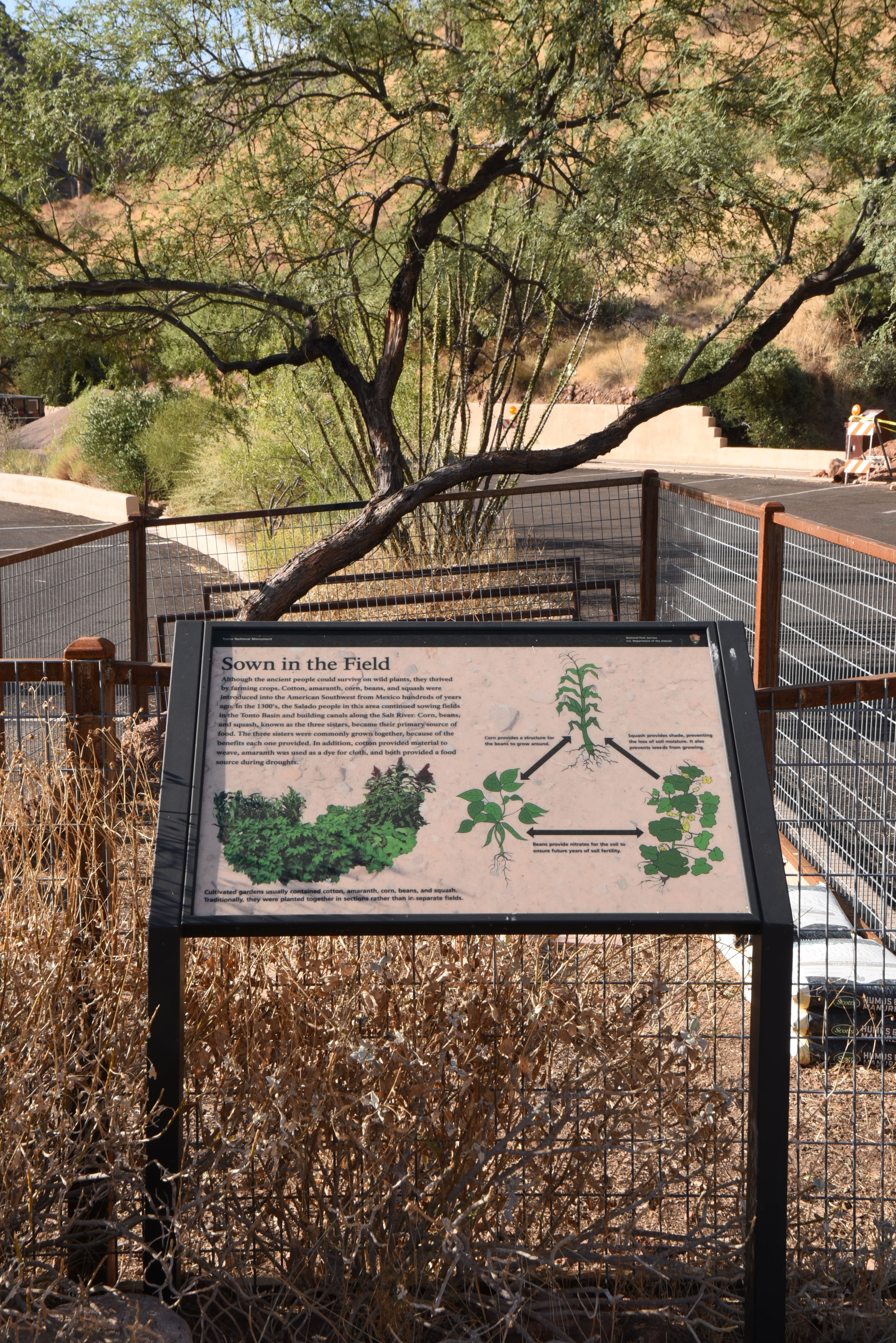
Sown in the Field Wayside
audio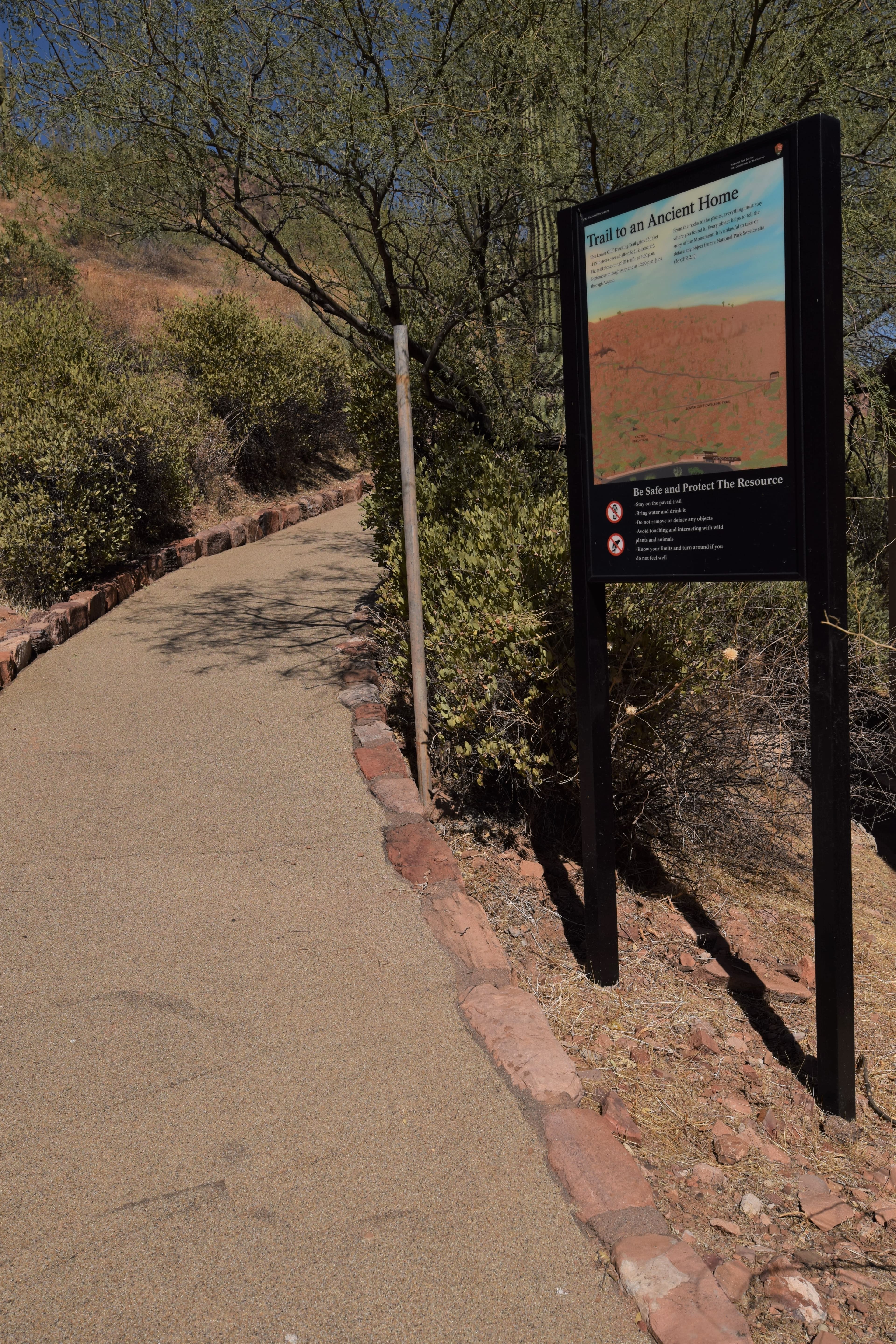
Trail to an Ancient Home Wayside
Audio & media
Learn more
When the climate changes enough, the vegetation communities growing in any given place will also change. Under an expanded bimodal climate zone, some plant communities in western national parks are more likely to change than others. National Park Service ecologists and partners investigated the future conditions that may force some of this change. Having this information can help park managers decide whether to resist, direct, or accept the change.
Most women with disabilities hired by the National Park Service (NPS) in the 1970s and early 1980s had temporary jobs. Some built long-term careers with the bureau. Starting before the Americans with Disabilities Act of 1990, these women experienced the opportunities and changes the law brought. It was their hard work and dedication to the NPS mission, however, that continued to change attitudes and educate coworkers and visitors alike.
Across the US, changes in water availability are altering which plants grow where. These changes are evident at a broad scale. But not all areas experience the same climate in the same way, even within the boundaries of a single national park. A new dataset gives park managers a valuable tool for understanding why vegetation has changed and how it might change in the future under different climate-change scenarios.
Climate and water shape ecosystems and how they function. At Tonto National Monument, Sonoran Desert Network scientists monitor key resources, including climate. Understanding how climate may be changing over time is an important part of assessing the condition of other park resources This report summarizes Water Year 2024 climate data from a National Oceanic and Atmospheric Administration weather station in the park.
Climate is one of many ecological indicators monitored by the National Park Service (NPS) Division of Inventory & Monitoring (I&M). Climate data help scientists to understand ecosystem processes and help to explain many of the patterns and trends observed in other natural-resource monitoring. In NPS units of the American Southwest, three I&M networks monitor climate using the scientific protocol described here.
At Tonto National Monument, the built environment reflects the historical importance of reliable water sources. The Sonoran Desert Network monitors climate, groundwater, and springs at this park. Understanding changes in these closely linked factors helps managers make informed decisions affecting both natural and cultural resources. Learn about our recent findings.
Sonoran Desert Network scientists monitor key resources and weather at Tonto National Monument by taking measurements throughout the year, which helps us track changes over time. This report summarizes weather and springs data from Water Year 2022. The data describe a dramatic change to Cave Canyon Spring. WY2022 was the third consecutive year of drought, and the park received less than average precipitation in all but three months.
Dendrochronology, or tree-ring dating, has assisted archeologists in assigning calendar dates to archeological sites since the early twentieth century. This dating method has played a large and yet disappointing role in assisting archeologists in determining the dates of occupation at the Upper and Lower Cliff Dwellings at Tonto National Monument.
Ranger School
Park-grounded courses you can learn with the Ranger.
How Tonto National Monument connects
This park's activities, topics, location, and on-the-ground places — one hop in the graph. Drag to explore; click an activity, topic, or related park to follow it.
Park
Activity
Topic
State
VisitorCenter
PassportStamp
Trail
ThingToDo
Alert
Similar parks
Share activities & topics with Tonto National Monument.