Great Sand Dunes National Park & Preserve
Colorado
Tonight
🌔 74% moon
8.9 h fully dark
Crowds
low
Open today
Open
Entrance
$25
Air Quality Warning
Air quality in the park is currently considered Moderate due to several fires in Utah. If you are unusually sensitive to particle pollution, consider reducing your activity level or shorten the amount of time you are active outdoors. Check airnow.gov for up to date air quality information.
Speed Limits are Much Lower Inside Park than Surrounding Highways
Speed limits for the park include 30 MPH near the park boundary and Great Sand Dunes Sign, and as low as 10 MPH near the Headquarters and Entrance Station. Speed limits are in place to protect park visitors, pedestrians, and wildlife in the park. Please drive carefully and responsibly.
Sand Board and Sand Sled Rentals Not Available In Park.
Sand boarding and sand sled rentals are located in local communities surrounding the park. Visitors are encouraged to arrange rentals BEFORE coming to the park.
Official NPS alert →Piñon Flats Campground, sites can be reserved 3 months in advance for 2026
Due to the need for improvements in Piñon Flats Campground, sites can be reserved 3 months in advance beginning in 2026.
The tallest dunes in North America are the centerpiece in a diverse landscape of grasslands, wetlands, forests, alpine lakes, and tundra. Stay on a moonless night to experience countless stars in this International Dark Sky Park! Open 24 hours a day, 7 days a week year-round. There are no timed entries or reservations to visit.
Activities
Topics
Entrance fees
$25.00 — Entrance - Private Vehicle
$15.00 — Entrance - Non-commercial Groups
$20.00 — Entrance - Motorcycle
$25.00 — Commercial Entrance - Sedan
$40.00 — Commercial Entrance - Van
$40.00 — Commercial Entrance - Mini-bus
$100.00 — Commercial Entrance - Motor Coach
$15.00 — Entrance - Per Person
Hours & seasons
The park and preserve are open 24/7 all year
Generally open:
winterspringsummerfallHours are reported by the park — verify before you go.
📞 (719) 378-6395
✉ grsa_interpretation@nps.govConditions
Quietest months (fewer crowds): Jan, Feb, Nov, Dec
Typical crowds: low
Weather now: ☀️ Clear, 49°F
☁️ 72°/46°
🌦️ 65°/47°
🌦️ 57°/50°
Typical monthly recreation visits · NPS avg 2023–2025 — orange months are the quietest by crowds.
Quietest months
Relative crowds by month — lighter is quieter; ringed months are the calmest by crowds.
Jan
6%
Feb
9%
Mar
21%
Apr
27%
May
77%
Jun
100%
Jul
97%
Aug
72%
Sep
54%
Oct
42%
Nov
13%
Dec
10%
Log a sky reading
Measured the sky with an SQM meter or app? Add your reading (16 = city glow … 22 = pristine). Opt in under “Travelers like you” to share it on the community leaderboard.
Live conditions
Visitor Center ↗inactive
Things to do
Splash in Medano Creek · 2 mi
Explore the Dunes · Unlimited - you can explore for a few minutes or a few hours!
Sandboarding and Sand Sledding · 0.7 mi · Plan on a minimum of 2 hours to hike to a slope and sled down a few times. Children typically sled on lower slopes, while teens and adults hike higher to taller slopes, requiring more time and effort.
Hike Montville Nature Trail or Mosca Pass Trail · 0.5 mi · 13000 ft gain · The average time for Montville Trail is 30 minutes. Mosca Pass requires an average of 3.5 hours round trip, but since there are virtually no views at the top, visitors can feel free to turn around at any point along the trail.
Experience the Night · Take at least a half hour to allow your eyes to adjust to the dark, and for all traces of dusk light to fade into darkness. There is no limit on how long you can enjoy the night sky on the dunes, but if you plan to camp on the dunes all night long, you must obtain a backpacking permit.
Hike Medano Lake and Mount Herard · Plan a full, long day for this drive and hike1
Hike Sand Creek Lakes · 4.5 mi · 2000 ft gain · Plan a long day to drive to the trailhead, do the round trip hike at high elevation, and have time for lunch, photos, and exploration.
4WD Medano Pass Primitive Road · 22 mi · 40 ft gain · You can turn around at many places along the road, providing flexibility in your trip. Plan on 2 1/2 to 3 hours to drive the entire 22 mile road between CO 150 to CO 69.
Campgrounds
Backpacking Campsites in the Dunes or Forest ↗ · 27 sites
Medano Pass Primitive Road Campsites · 21 sites · first-come
Piñon Flats Campground ↗ · 91 sites · dump station
Visitor centers
Entrance Station
Great Sand Dunes Visitor Center
Accessibility
2 accessible campground(s)
8 audio-described place(s)
Reported by the park — verify before you go.
Not an official safety source — always defer to NPS.gov and rangers for life-safety decisions.
By the numbers
A visual read on Great Sand Dunes National Park & Preserve — its character, trails, sky, and weather.
Park fingerprint
How this park scores across the dimensions travelers care about.
Trail difficulty
Difficulty mix across this park's trails.
Trail profile
Each dot is a trail — distance vs. elevation gain, by difficulty.
3-day forecast
Daily high and low temperatures (°F).
People & stories
Figures tied to Great Sand Dunes National Park & Preserve — each spans a cross-park journey.
Frank "Boss" Pinkley
— Pinkley, Boss, NPS HistoryPassport stamps
Mark the stamps you've collected — they show in your memory and along your routes.
🎫 Great Sand Dunes Visitor Center
🎫 Great Sand Dunes Visitor Center
Places to see
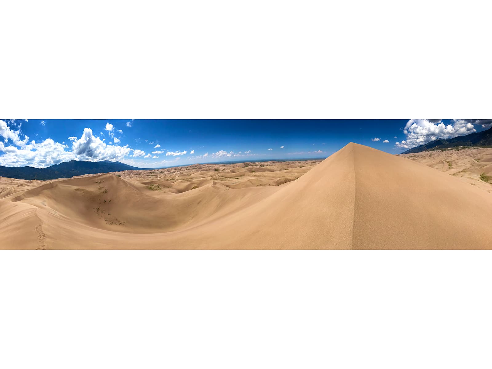
Hidden Dune
audio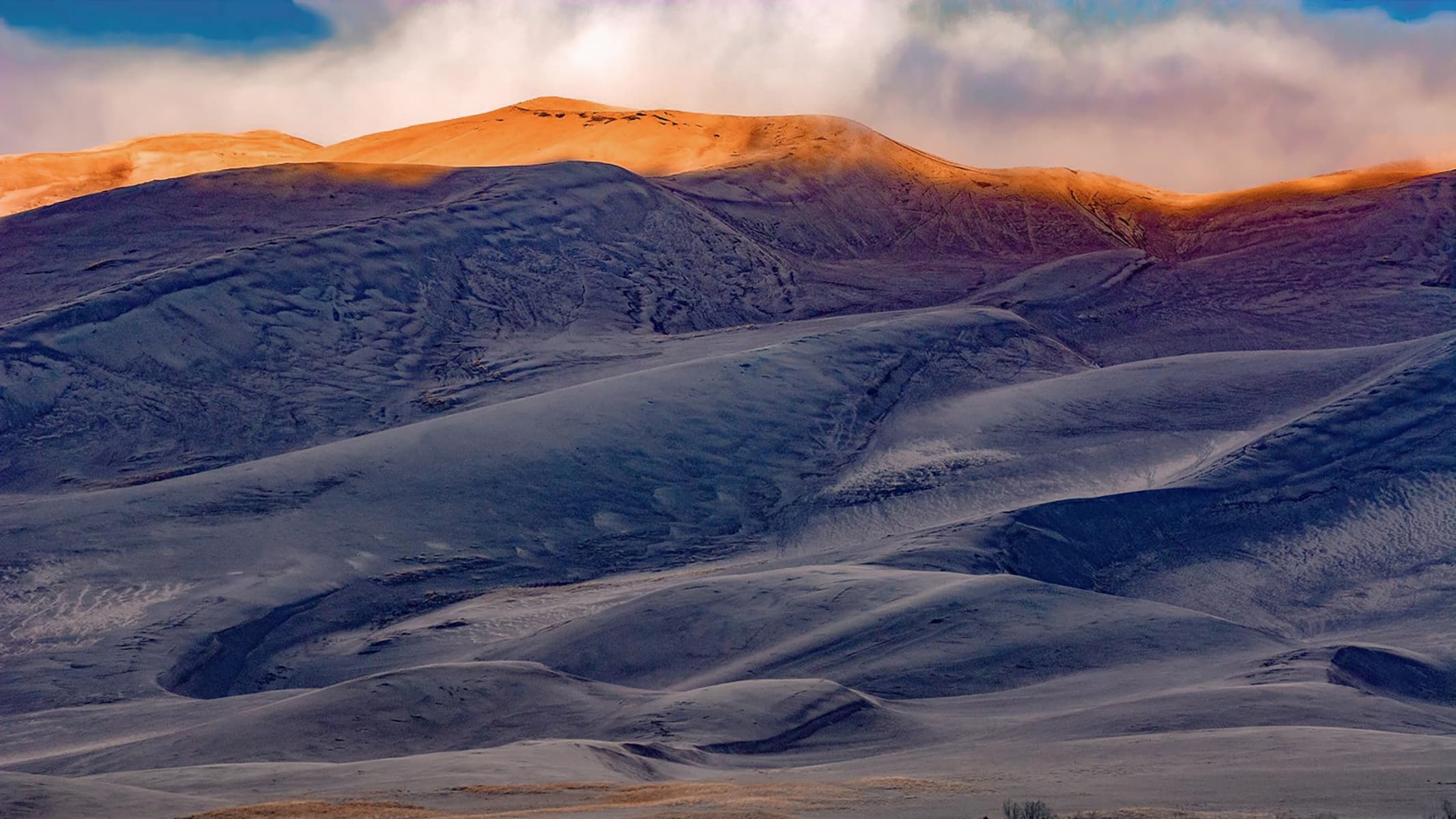
High Dune on First Ridge
audio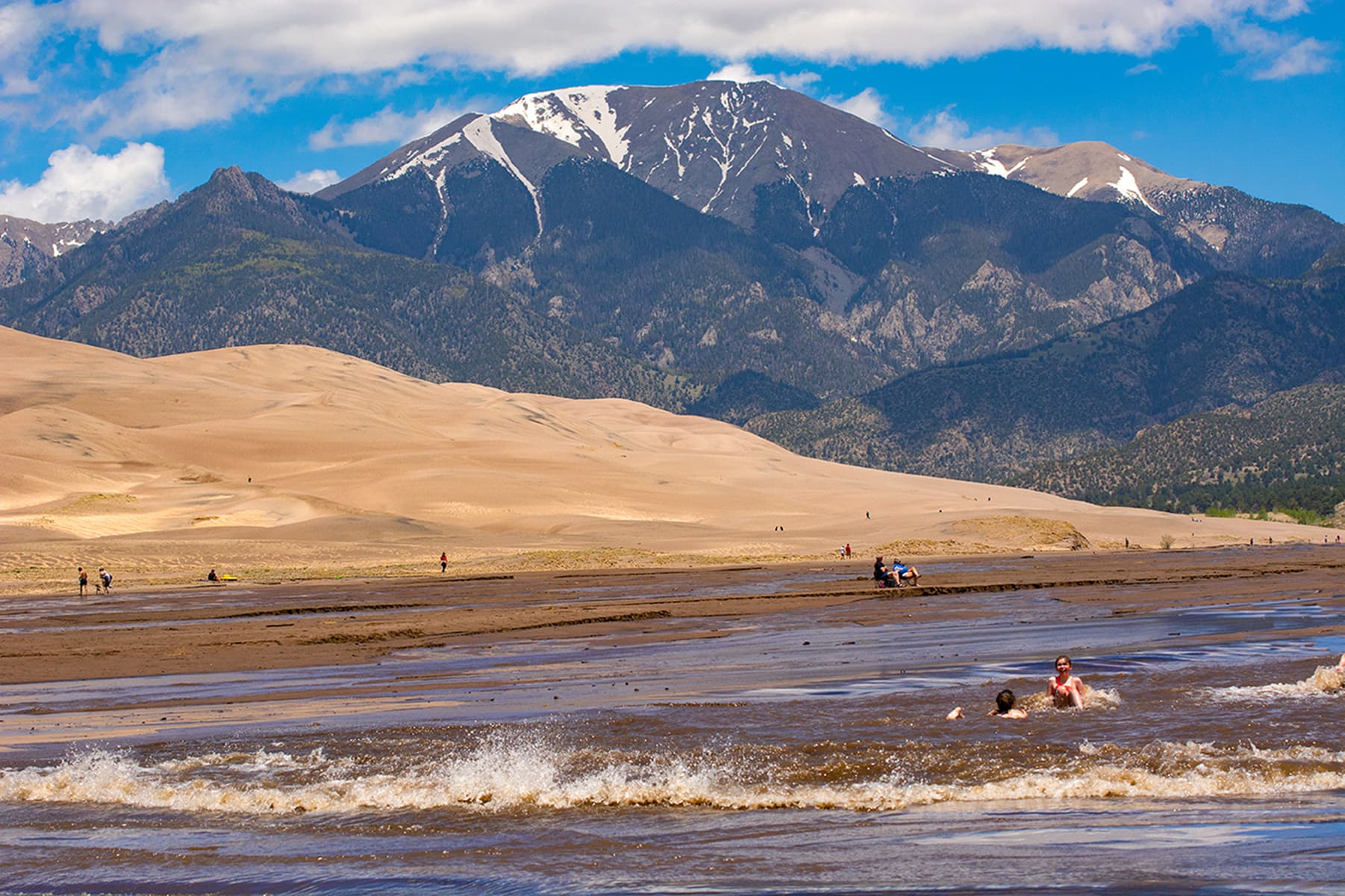
Medano Creek
audio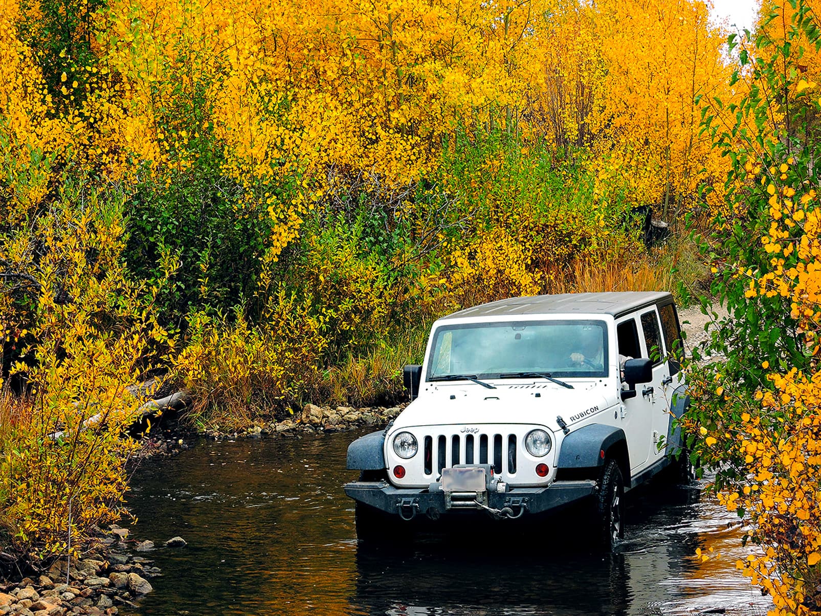
Medano Pass
audio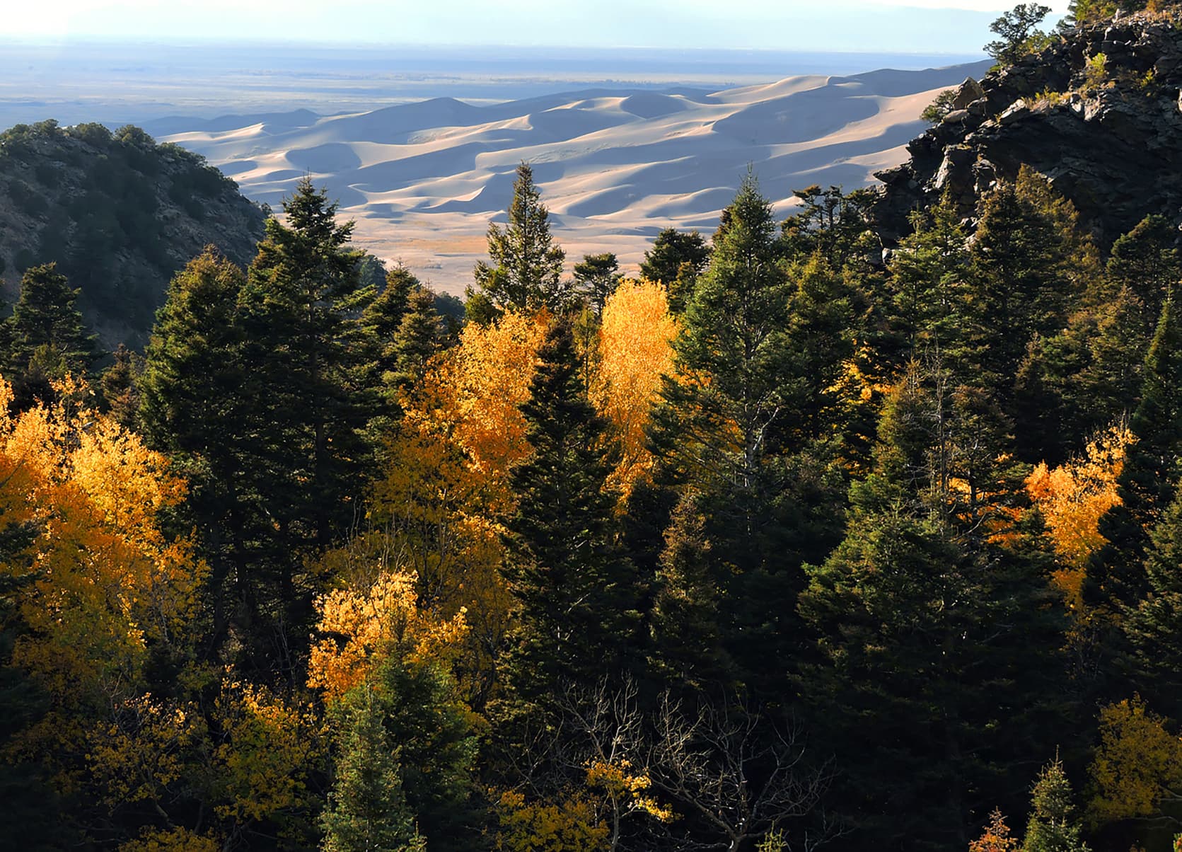
Mosca Pass
audio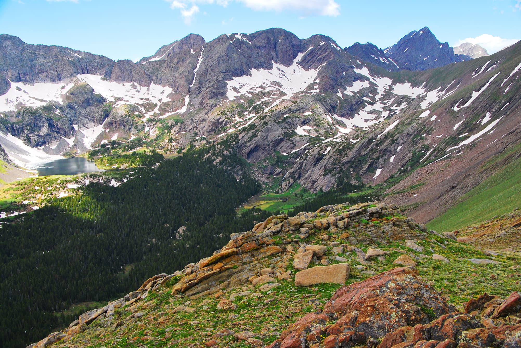
Sand Creek Basin
audio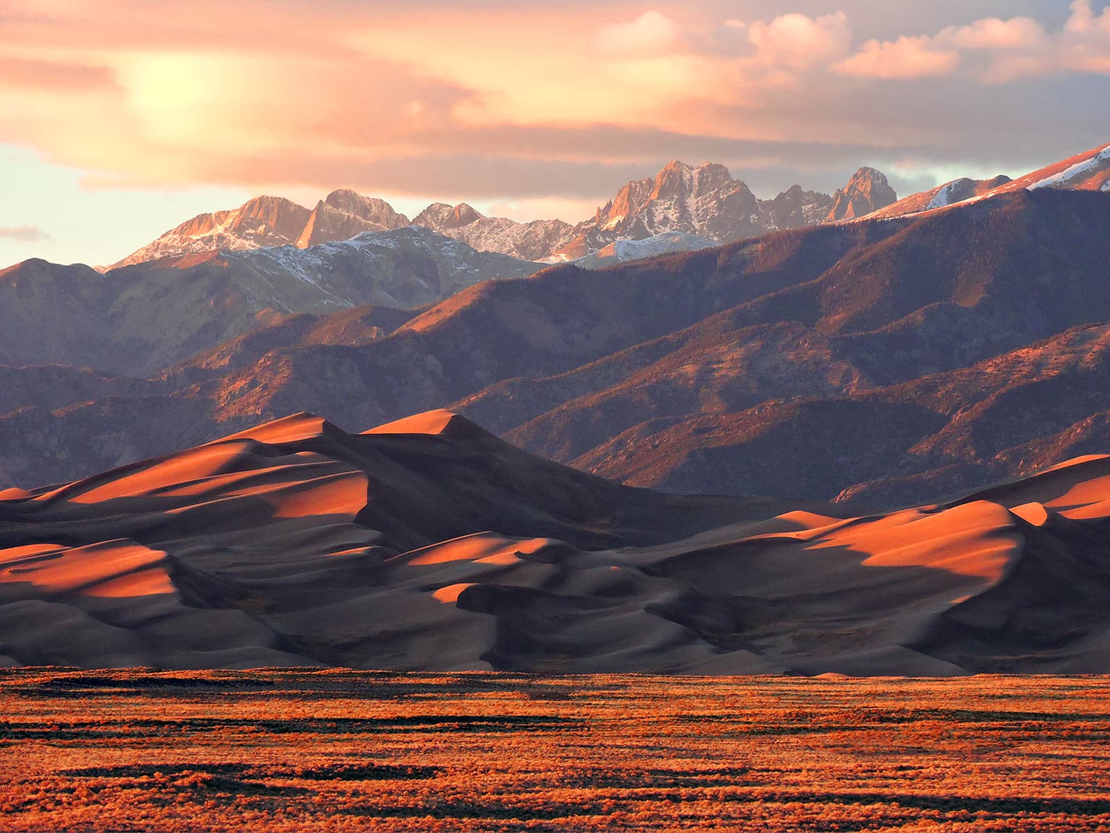
Star Dune
audio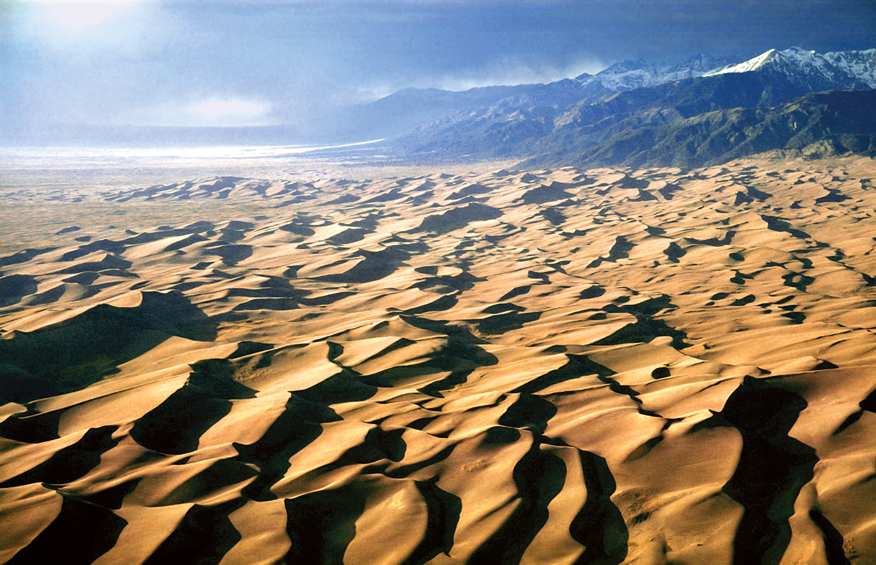
The Dunefield
audioAudio & media
Learn more
Humor is a form of commentary that often reveals serious truths. Cartoonists combine artistic talents with razor-sharp wits to shine light on political and social issues. In most cases, those artists are external observers. In the National Park Service (NPS), employees in the 1960s to 1980s drew cartoons, published in official newsletters, that provide unique insights into NPS organizational culture, working conditions, and employees' concerns—many of which still exist today.
When the climate changes enough, the vegetation communities growing in any given place will also change. Under an expanded bimodal climate zone, some plant communities in western national parks are more likely to change than others. National Park Service ecologists and partners investigated the future conditions that may force some of this change. Having this information can help park managers decide whether to resist, direct, or accept the change.
NPS scientists are monitoring vegetation at the tops of some of our parks’ most beautiful peaks. The monitoring is part of an international program to find out how alpine vegetation is responding to stressors, such as warming temperatures and air-borne pollutants. A recent project—the first assessment of data from sites in four national parks and one national forest in the U.S. Rocky Mountains—discovered changes in the types and abundances of alpine plant species.
Across the US, changes in water availability are altering which plants grow where. These changes are evident at a broad scale. But not all areas experience the same climate in the same way, even within the boundaries of a single national park. A new dataset gives park managers a valuable tool for understanding why vegetation has changed and how it might change in the future under different climate-change scenarios.
In 2007, the Rocky Mountain Inventory and Monitoring Network—a small team of NPS scientists—began monitoring natural resources, called “vital signs,” in Great Sand Dunes and nearby park units. Vital signs indicate park health and serve as red flags if conditions deteriorate, supporting park managers’ efforts to make science-based management decisions. Learn about the NPS Inventory and Monitoring Division and its work in Great Sand Dunes National Park and Preserve.
Few things look more pristine than a fresh blanket of snow, yet each snowflake naturally carries small particles from the atmosphere. When snowflakes build around these particles, the resulting snowfall can bring pollutants from far away into our national parks. Long-term snow chemistry monitoring is showing some improvements in air quality at Glacier and Rocky Mountain National Parks, and Great Sand Dunes National Park and Preserve.
Read the abstract and get the link to a published paper on how dragonfly mercury studies uncover unexpected atmospheric delivery pathways: Janssen, S.E., C.J. Kotalik, J.J. Willacker, M.T. Tate, C. Flanagan Pritz, S.J. Nelson, D.P. Krabbenhoft, D. Walters, and C. Eagles-Smith. 2024. Geographic Drivers of Mercury Entry into Aquatic Foods Webs Revealed by Mercury Stable Isotopes in Dragonfly Larvae. Environmental Science & Technology. DOI: 10.1021/acs.est.4c02436
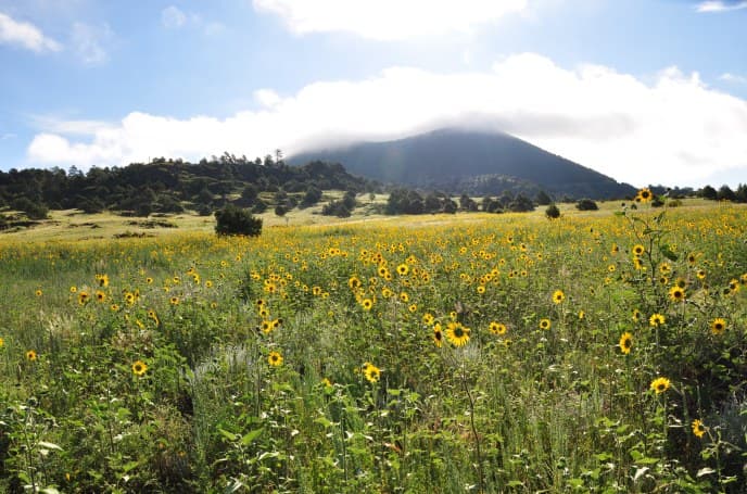
Pinyon pine trees are scattered here and there. Sunflowers and Rocky Mountain beeplants abound among the tall grasses... Lisa Devore shares her favorite view at Great Sand Dunes National Park & Preserve.
How Great Sand Dunes National Park & Preserve connects
This park's activities, topics, location, and on-the-ground places — one hop in the graph. Drag to explore; click an activity, topic, or related park to follow it.
Park
Activity
Topic
State
Campground
VisitorCenter
PassportStamp
Trail
ThingToDo
Alert
Similar parks
Share activities & topics with Great Sand Dunes National Park & Preserve.