Missouri National Recreational River
Nebraska, South Dakota
Tonight
🌓 65% moon
8.6 h fully dark
Hikes
Easy–Strenuous
🟢 🔴
Crowds
low
Open today
Open
Entrance
Free entry
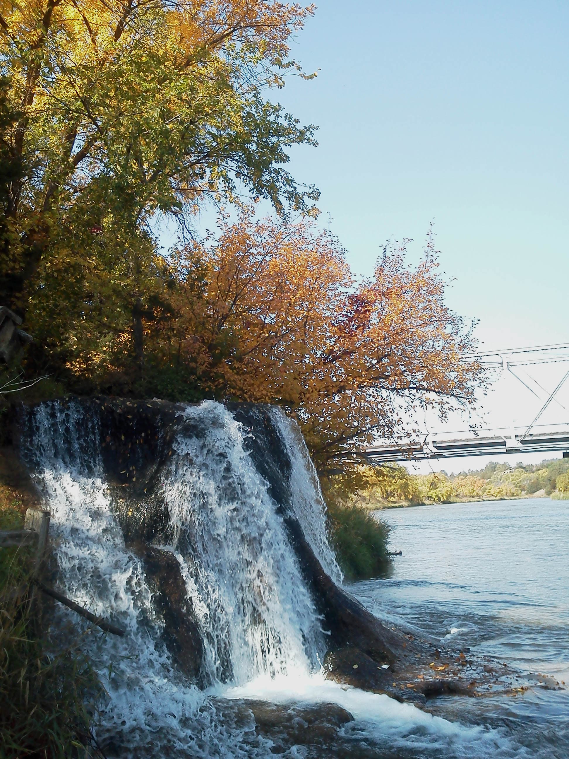
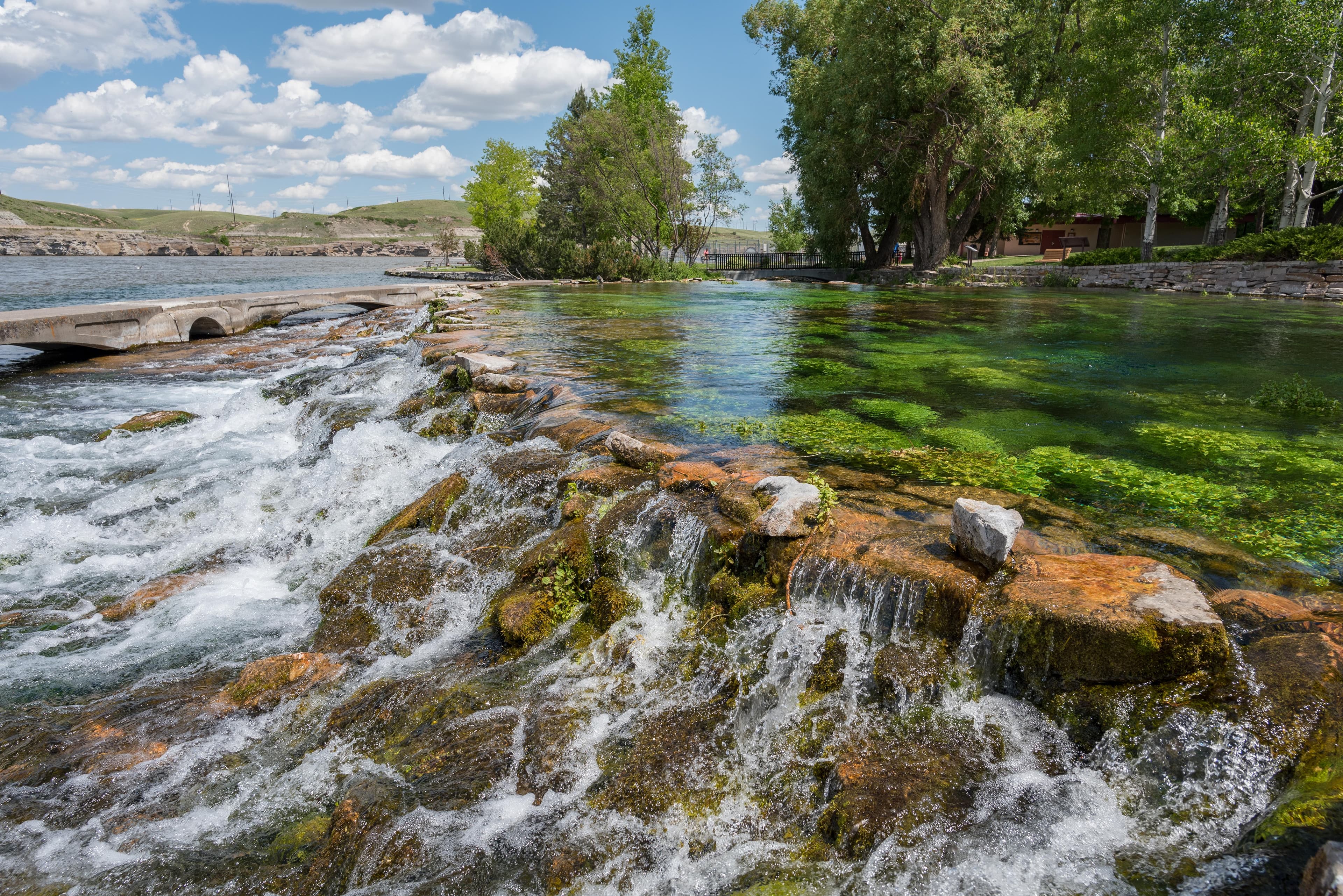
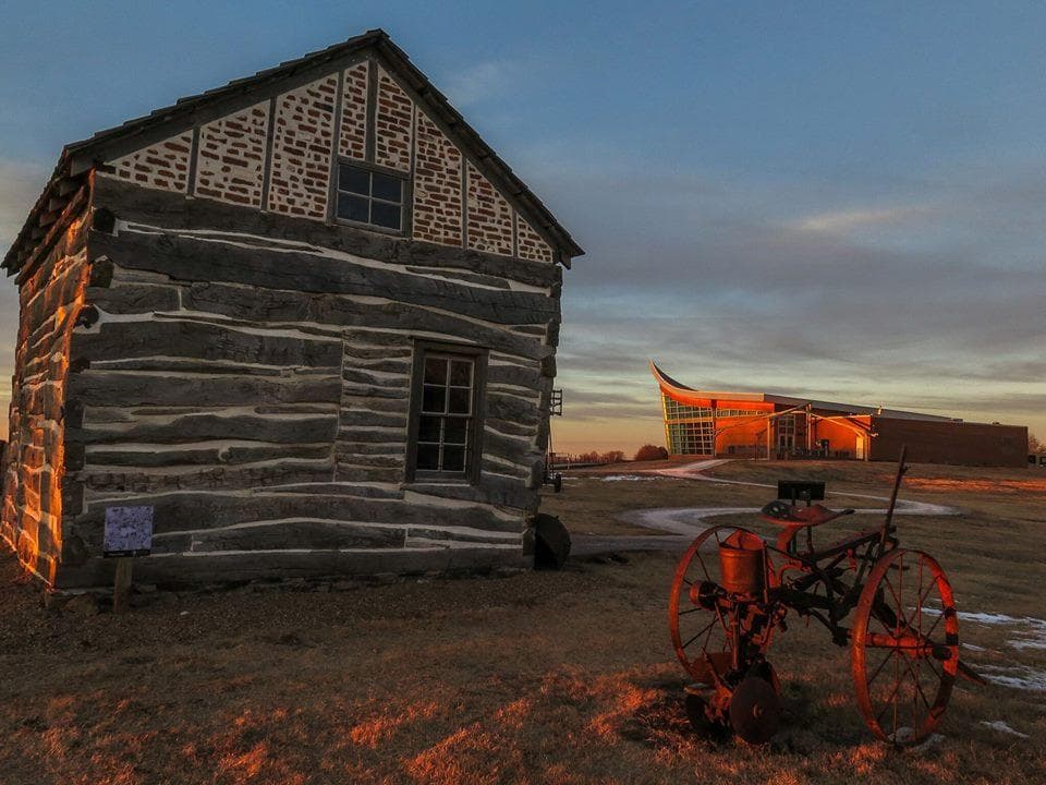
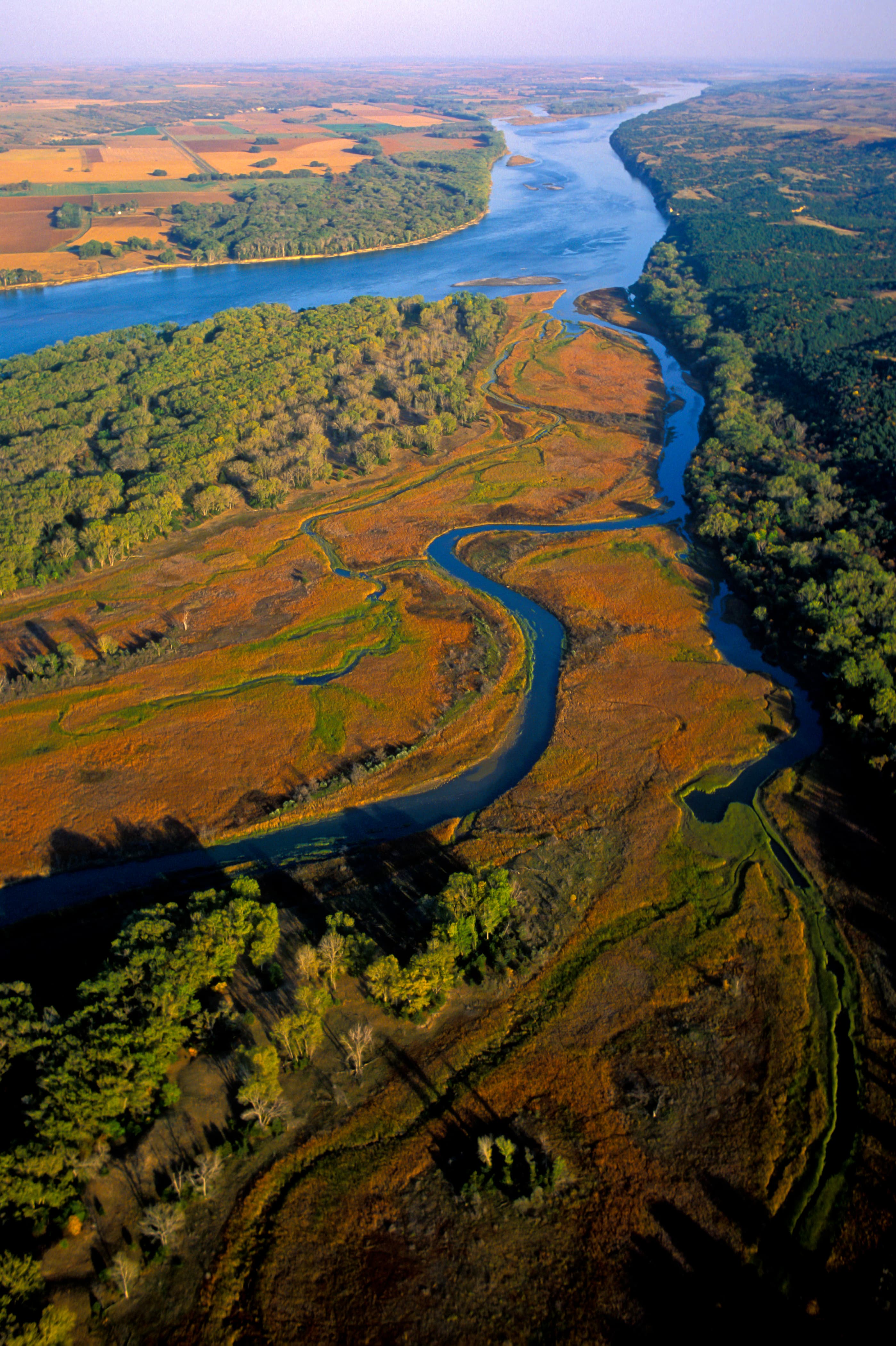
Imagine a 100-mile stretch of North America's longest river, a vestige of the untamed American West. The Missouri National Recreational River is where imagination meets reality. Two free flowing stretches of the Missouri make up the National Park. Relive the past by exploring the wild, untamed and mighty river that continues to flow as nature intended.
Topics
No entrance fee.
Hours & seasons
The entire park includes the 39-Mile District and 59-Mile District. Both districts are open 24 hours, seven days a week.
Generally open:
winterspringsummerfallHours are reported by the park — verify before you go.
📞 605-665-0209
✉ mnrr_visitorinfo@nps.govConditions
Quietest months (fewer crowds): Jan, Feb, Mar, Dec
Typical crowds: low
Weather now: ☁️ Overcast, 60°F
🌧️ 61°/58°
🌧️ 59°/54°
🌦️ 60°/53°
Typical monthly recreation visits · NPS avg 2023–2025 — orange months are the quietest by crowds.
Quietest months
Relative crowds by month — lighter is quieter; ringed months are the calmest by crowds.
Jan
31%
Feb
28%
Mar
35%
Apr
63%
May
87%
Jun
93%
Jul
100%
Aug
86%
Sep
85%
Oct
77%
Nov
45%
Dec
35%
Log a sky reading
Measured the sky with an SQM meter or app? Add your reading (16 = city glow … 22 = pristine). Opt in under “Travelers like you” to share it on the community leaderboard.
Things to do
Hunting in the MNRR
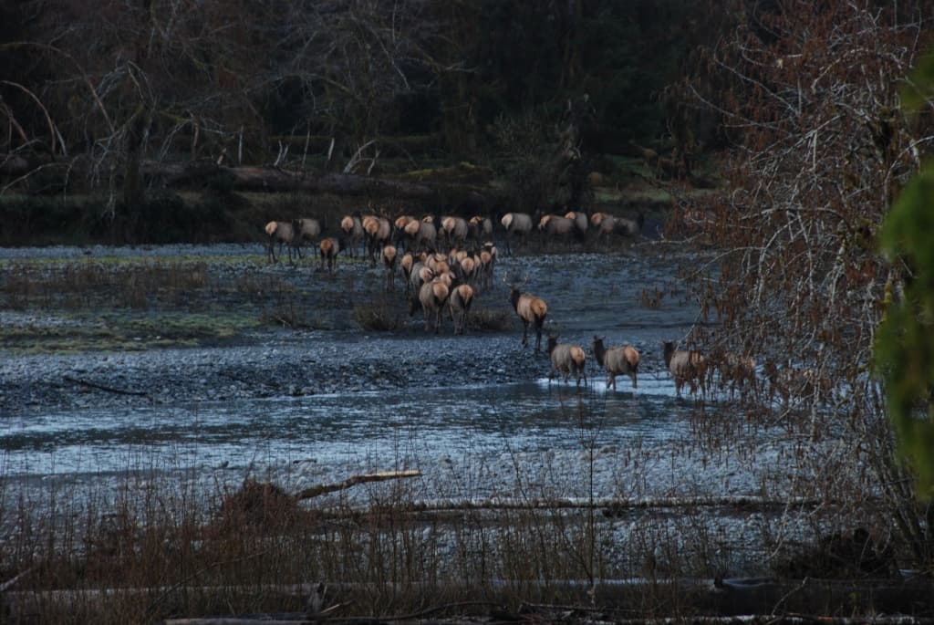
Wildlife Watching in the MNRR
Stargaze at Spirit Mound
Fishing in the MNRR · 20 mi
🔴 Backcountry Camping in the MNRR
Paddle the MNRR · 39 mi
Boating in the Missouri NRR · 59 mi
Biking in the MNRR
Campgrounds
Bow Creek Primitive Camping · 5 sites · first-come
Goat Island Primitive Camping · 2 sites · first-come
Green Island Primitive Camping · 5 sites · first-come
Visitor centers
Missouri National Recreational River Headquarters
Accessibility
2 accessible campground(s)
36 audio-described place(s)
Reported by the park — verify before you go.
Not an official safety source — always defer to NPS.gov and rangers for life-safety decisions.
By the numbers
A visual read on Missouri National Recreational River — its character, trails, sky, and weather.
Park fingerprint
How this park scores across the dimensions travelers care about.
Trail difficulty
Difficulty mix across this park's trails.
Trail profile
Each dot is a trail — distance vs. elevation gain, by difficulty.
3-day forecast
Daily high and low temperatures (°F).
Passport stamps
Mark the stamps you've collected — they show in your memory and along your routes.
🎫 Missouri National Recreational River Headquarters
🎫 Missouri National Recreational River Headquarters
Places to see
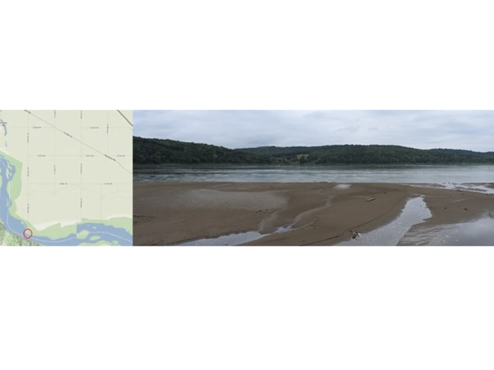
Bolton River Access
audio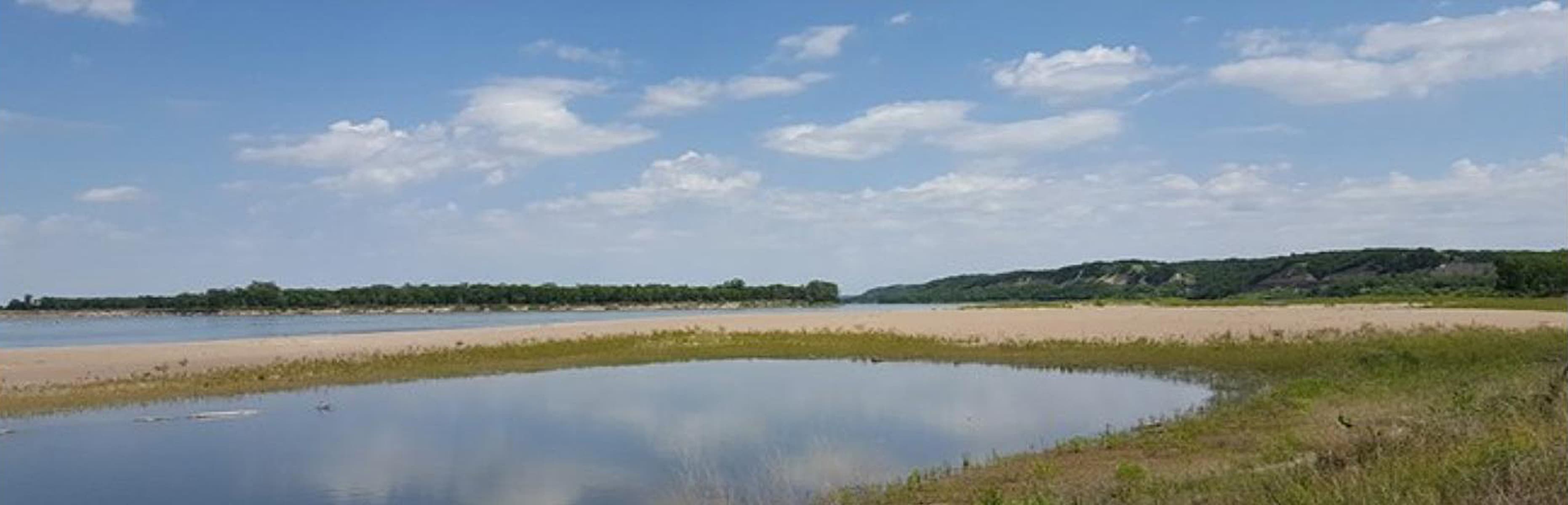
Bow Creek
audio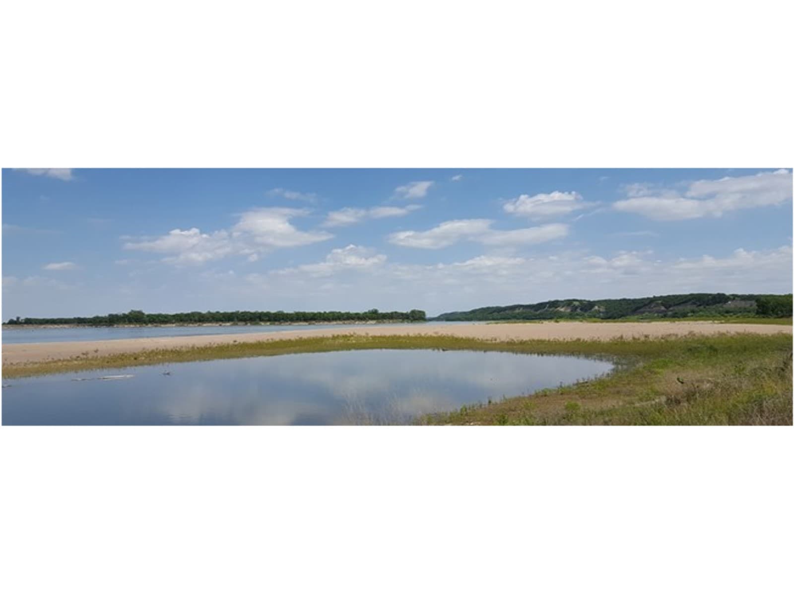
Bow Creek River Access
audio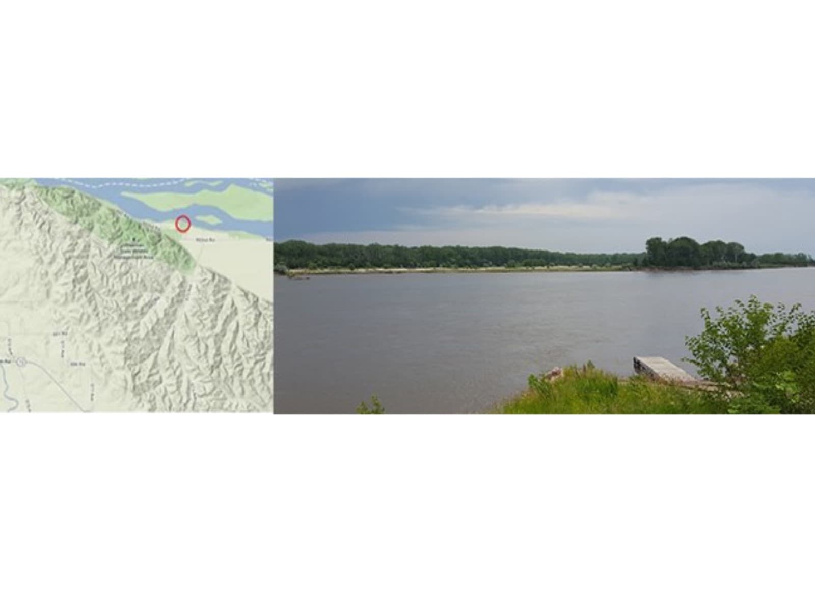
Brooky Bottom River Access
audio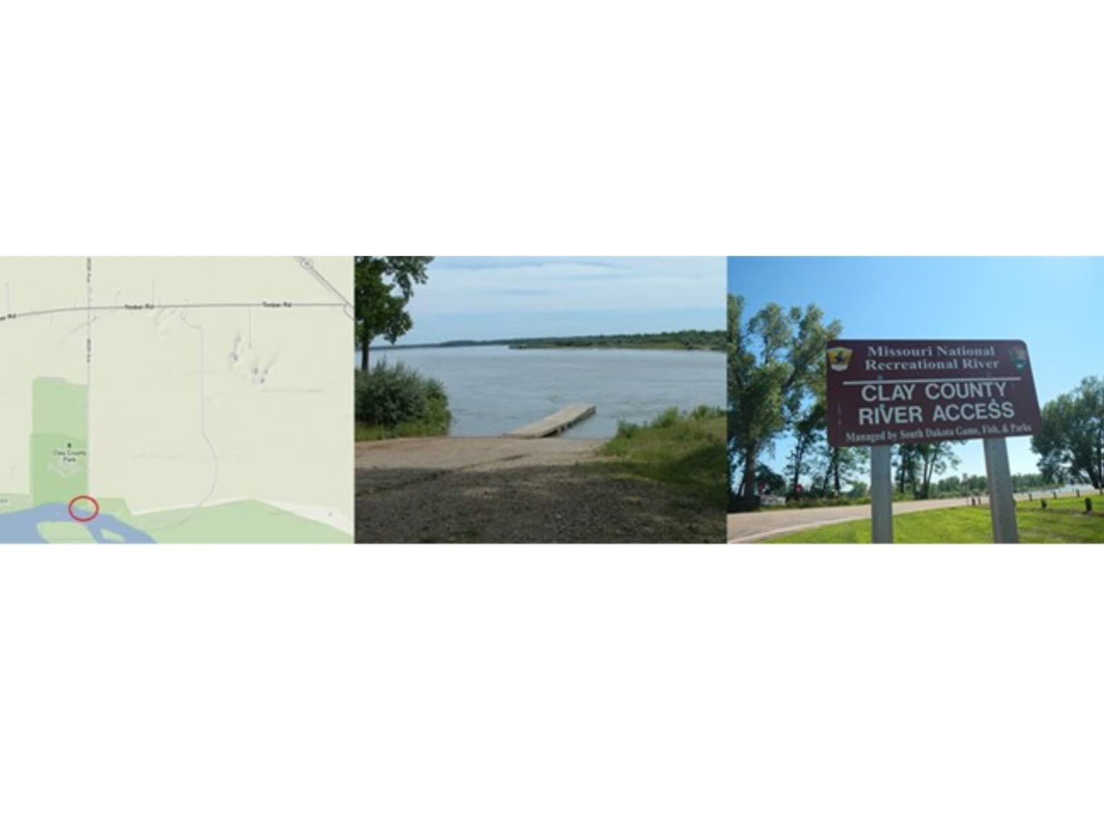
Clay County River Access
audio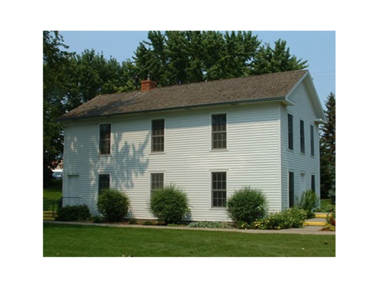
Dakota Territorial Capitol Replica
audio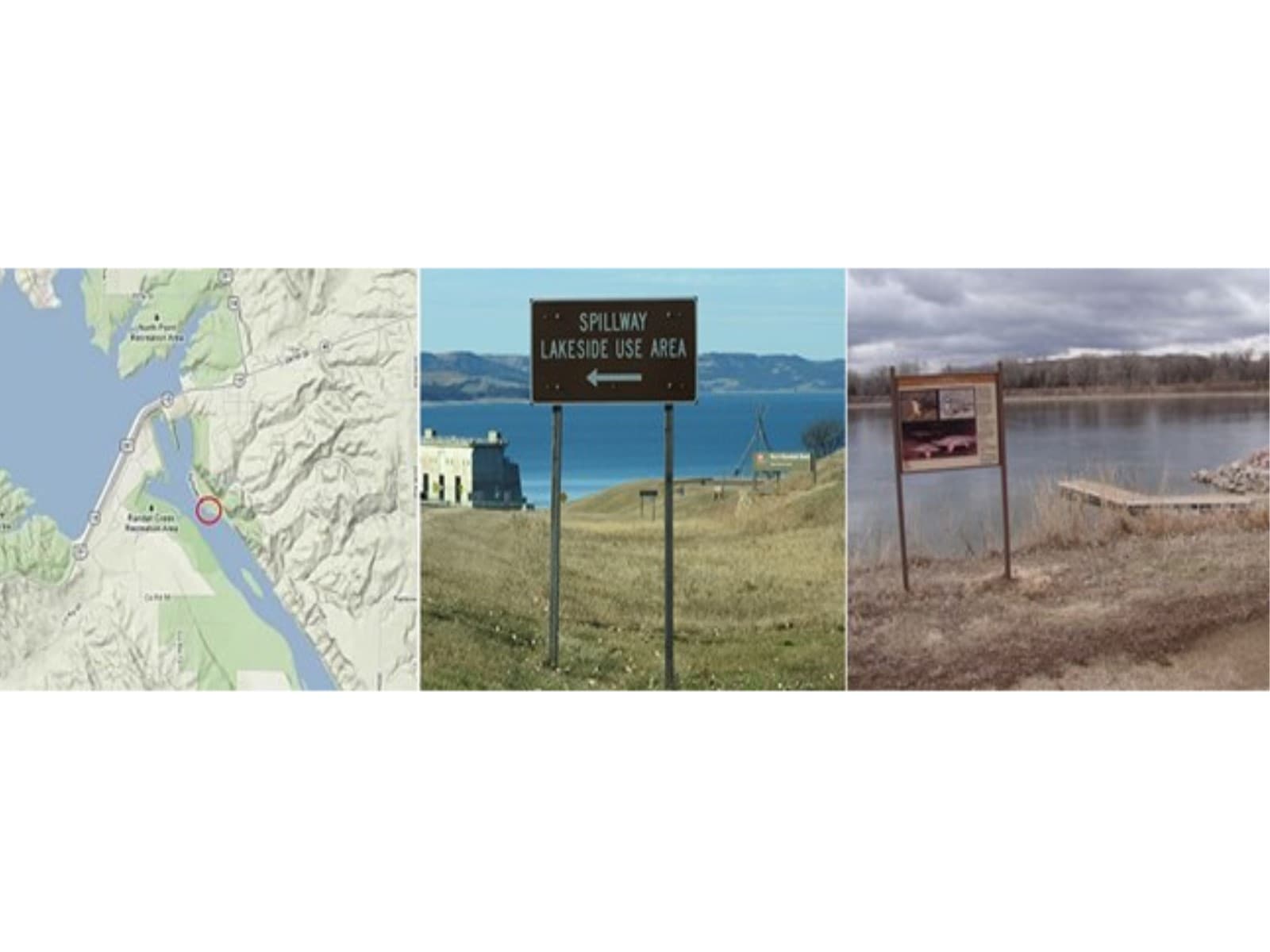
Fort Randall Dam Spillway River Access
audio
Fort Randall Dam Visitor Center
audio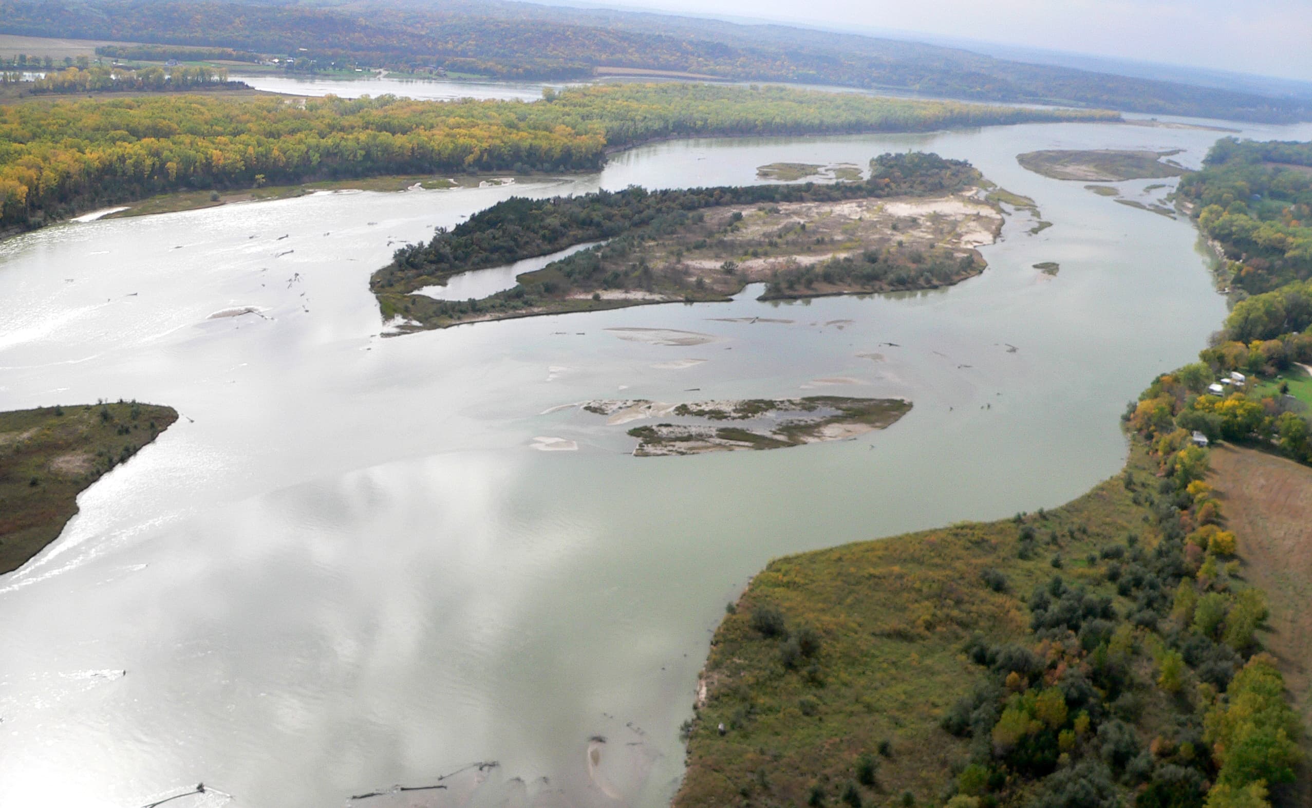
Goat Island Recreation Area
audio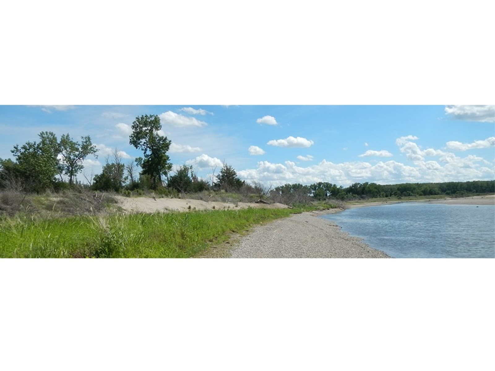
Green Island
audio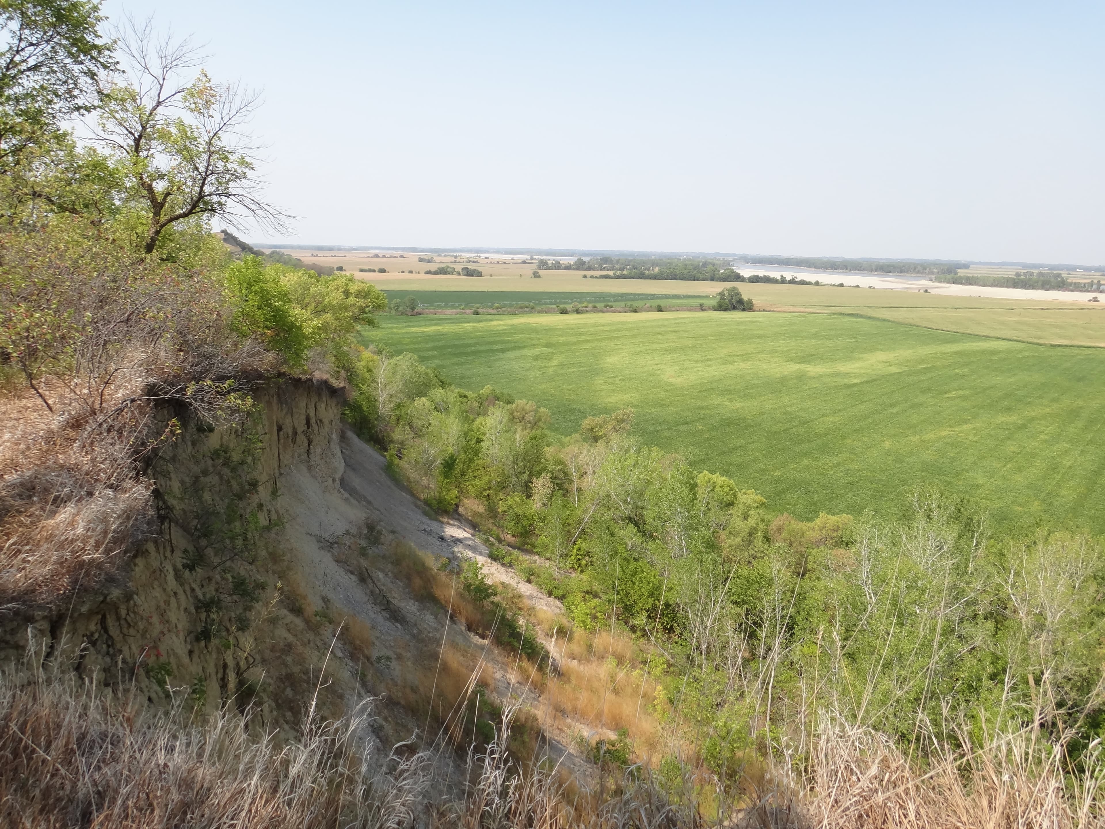
Ionia Volcano
audio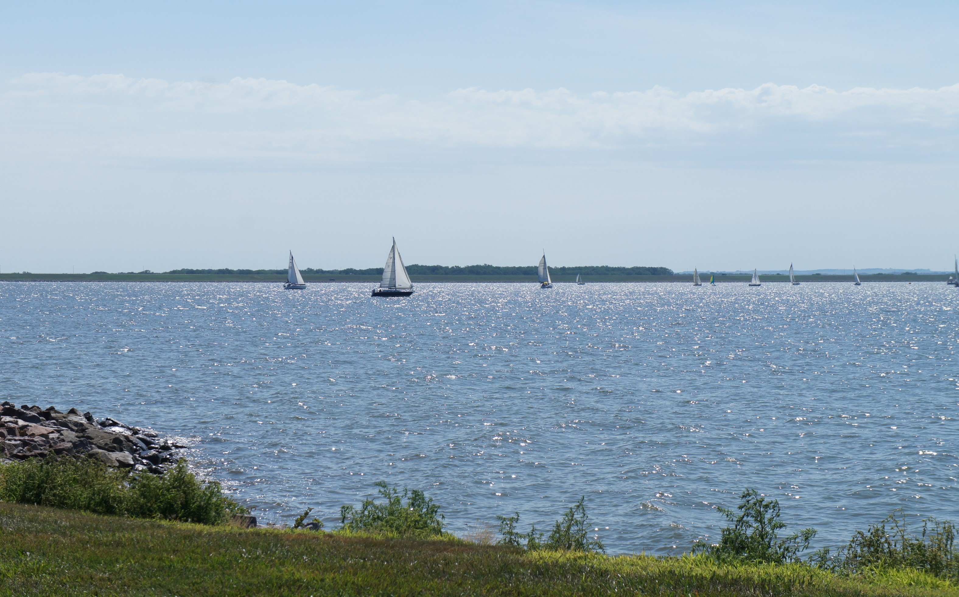
Lewis and Clark Recreation Area and Visitor Center
audioAudio & media
🎧
🎬
🖼
Learn more
The Northern Great Plains Inventory and Monitoring Network monitors bats to detect long-term trends in bat populations at Missouri National Recreational River. Acoustic recorders detect the unique ultrasonic calls bats use for echolocation. Monitoring helps protect the bat communities that live and forage in the park.
Across the US, changes in water availability are altering which plants grow where. These changes are evident at a broad scale. But not all areas experience the same climate in the same way, even within the boundaries of a single national park. A new dataset gives park managers a valuable tool for understanding why vegetation has changed and how it might change in the future under different climate-change scenarios.
Many now-arid western parks, including Chaco Culture National Historical Park and Mesa Verde National Park, were inundated by the Cretaceous Interior Seaway that bisected North America. Massive dinosaur and other reptile fossils are found in Cretaceous rocks of Big Bend National Park.
The different members of the Corps of Discovery came from varied, unique backgrounds, and because of those backgrounds brought a variety of useful skills to the Lewis and Clark Expedition. Many of the skills and abilities possessed by Corps members translate well to the different events of the modern-day Olympics. As such, we’ve compiled a list of Olympic events, and which members of the Corps of Discovery had the best shot at bringing home gold!
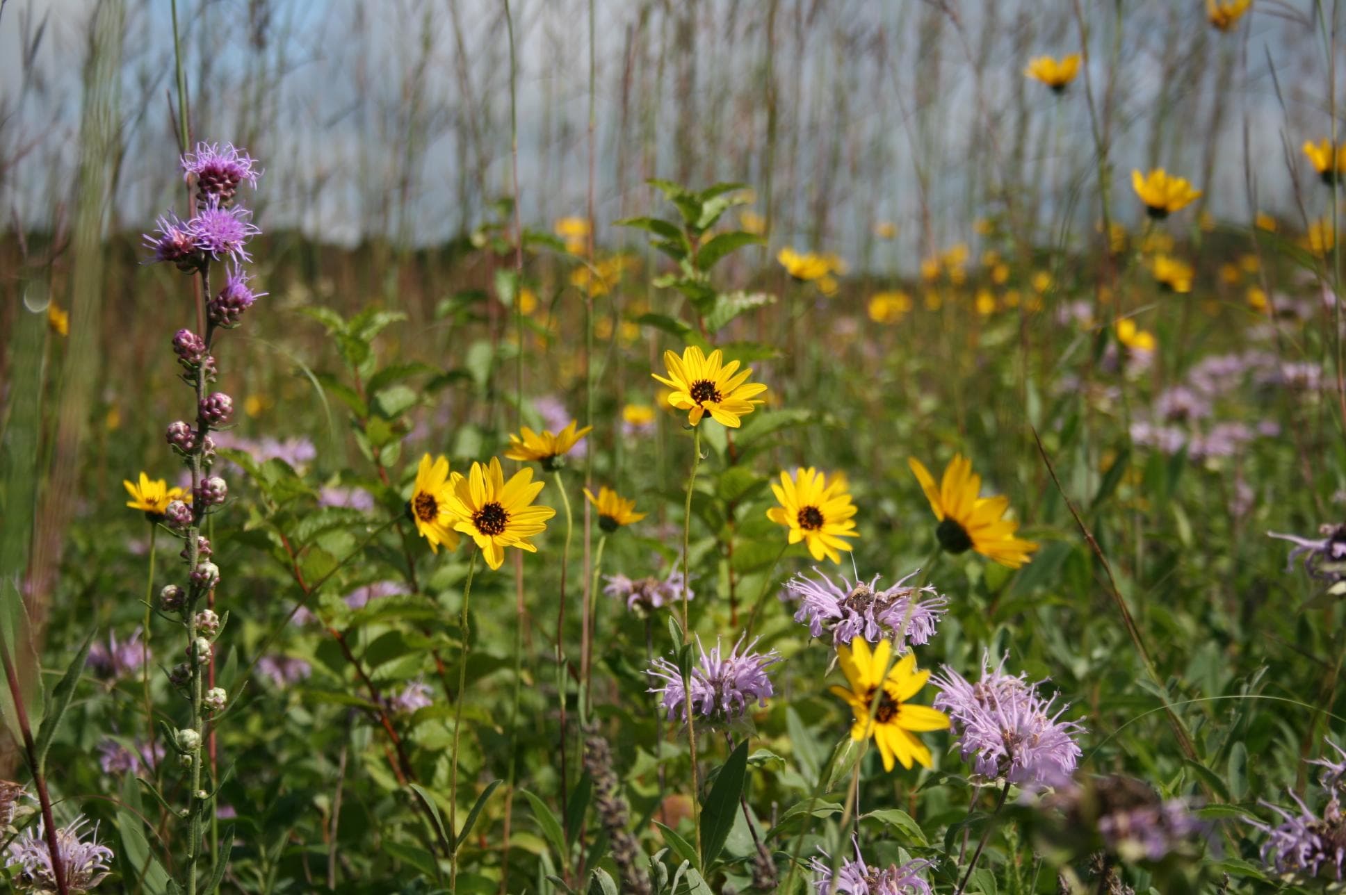
The lands surrounding the river corridors of Missouri National Recreational River support a broad diversity of ecosystems, ranging from wetlands and sand bars to cottonwood and bur oak woodlands as well as native prairie and grasslands. These diverse habitats support an equally diverse community of birds, including the endangered interior least tern and the threatened piping plover. Landbird surveys at Missouri National Recreational River started in 2015.
The Mesozoic Era (251.9 to 66 million years ago) was the "Age of Reptiles." During the Mesozoic, Pangaea began separating into the modern continents, and the modern Rocky Mountains rose. Dinosaurs, crocodiles, and pterosaurs ruled the land and air. As climate changed and rapid plate tectonics resulted in shallow ocean basins, sea levels rose world-wide and seas expanded across the center of North America.
Missouri National Recreational River is an amazing place to explore in person and online. Become a MNRR Junior Ranger today by participating in our online activities that will help you explore the park virtually!
Each park-specific page in the NPS Geodiversity Atlas provides basic information on the significant geologic features and processes occurring in the park.
Ranger School
Park-grounded courses you can learn with the Ranger.
Biomes and Climates of the Lewis and Clark Expedition
Open →
Important Members of the Lewis and Clark Expedition
Open →
“Tracking” Down the Secret Code / North American Animal “Who am I”
Open →
How Missouri National Recreational River connects
This park's activities, topics, location, and on-the-ground places — one hop in the graph. Drag to explore; click an activity, topic, or related park to follow it.
Park
Activity
Topic
State
Campground
VisitorCenter
PassportStamp
Trail
ThingToDo
Similar parks
Share activities & topics with Missouri National Recreational River.