Washita Battlefield National Historic Site
Oklahoma
Tonight
🌓 65% moon
8.9 h fully dark
Crowds
low
Entrance
Free entry
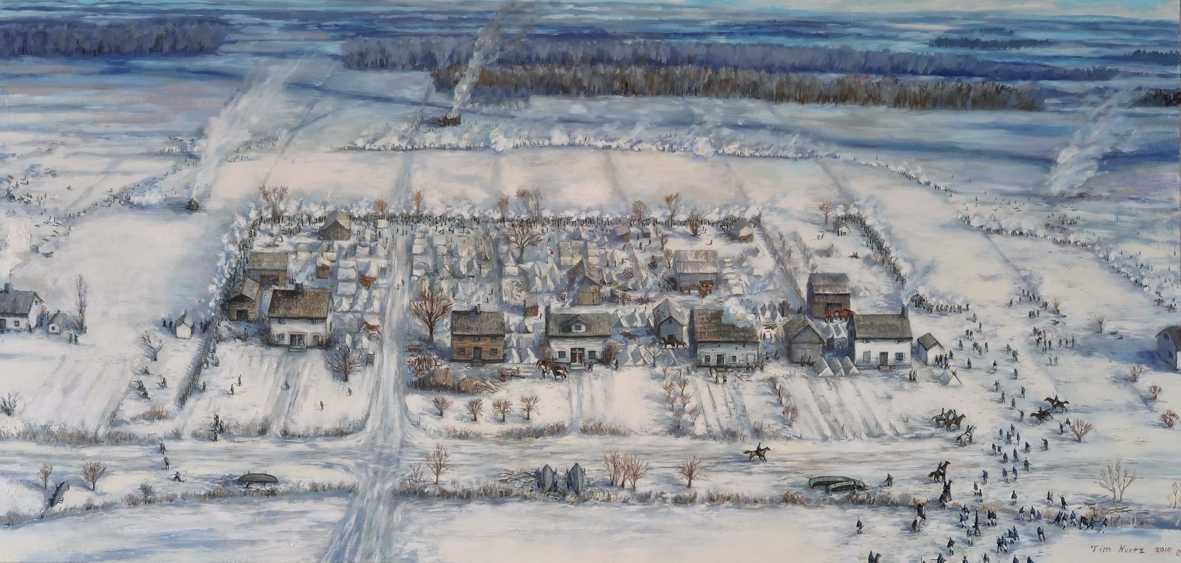
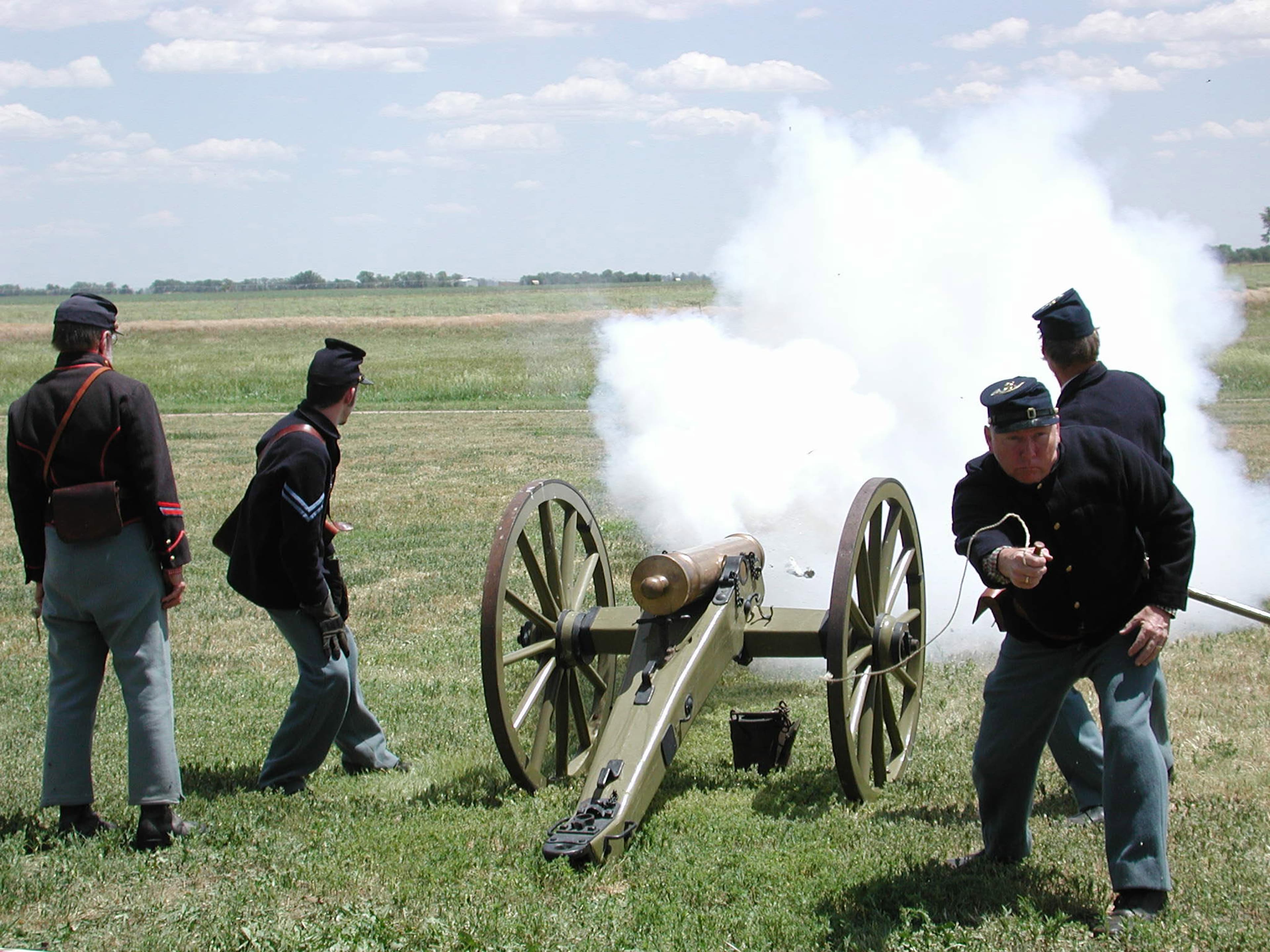
On November 27, 1868, Lt. Colonel George Armstrong Custer led the 7th US Cavalry on a surprise dawn attack on a Cheyenne village led by Peace Chief Black Kettle. The event was an example of the tragic clash of cultures that occurred during the Great Plains Wars. It is also a place of remembrance and reflection for those who died here. Read More
Activities
Topics
No entrance fee.
Hours & seasons
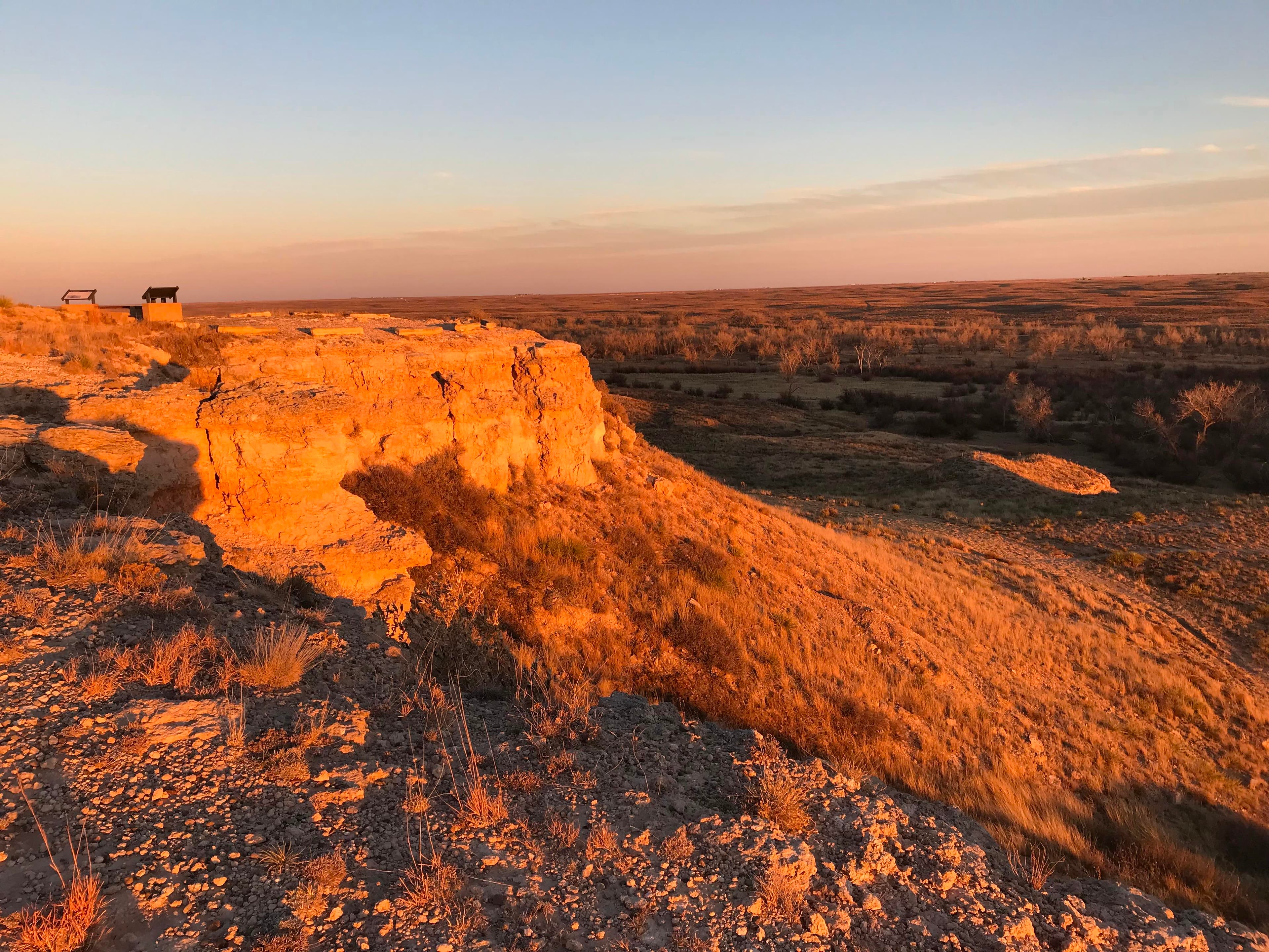
The overlook and trail of Washita Battlefield National Historic Site are open 30 minutes before sunrise and close 30 minutes after sunset.
Hours are reported by the park — verify before you go.
📞 5804972742
✉ waba_interpretation@nps.govConditions
Quietest months (fewer crowds): Jan, Feb, Dec
Typical crowds: low
Weather now: ☀️ Clear, 90°F
🌦️ 93°/72°
☁️ 82°/66°
🌦️ 87°/64°
Typical monthly recreation visits · NPS avg 2023–2025 — orange months are the quietest by crowds.
Quietest months
Relative crowds by month — lighter is quieter; ringed months are the calmest by crowds.
Jan
33%
Feb
40%
Mar
71%
Apr
88%
May
100%
Jun
81%
Jul
77%
Aug
53%
Sep
58%
Oct
79%
Nov
62%
Dec
38%
Log a sky reading
Measured the sky with an SQM meter or app? Add your reading (16 = city glow … 22 = pristine). Opt in under “Travelers like you” to share it on the community leaderboard.
Things to do
Walk Washita Battlefield Park Trail · 1.5 mi
Become a Washita Junior Ranger
Explore the Visitor Center · Visitors can spend a wide range of time at the visitor center depending on their interest and how deeply they want to dive into the Plains Indian Wars.
Watch the Park Film · The main live action film is 27 minutes long while the animated more kid friendly film is 20 minutes long.
Visitor centers
Visitor Center
Accessibility
17 audio-described place(s)
Reported by the park — verify before you go.
Parking
Washita Battlefield Overlook Parking Lot · 15 accessible spacesaccessible
Washita Battlefield Visitor Center Parking Lot · 42 accessible spacesaccessible
Not an official safety source — always defer to NPS.gov and rangers for life-safety decisions.
By the numbers
A visual read on Washita Battlefield National Historic Site — its character, trails, sky, and weather.
Park fingerprint
How this park scores across the dimensions travelers care about.
Trail difficulty
Difficulty mix across this park's trails.
3-day forecast
Daily high and low temperatures (°F).
Passport stamps
Mark the stamps you've collected — they show in your memory and along your routes.
🎫 Visitor Center
Places to see
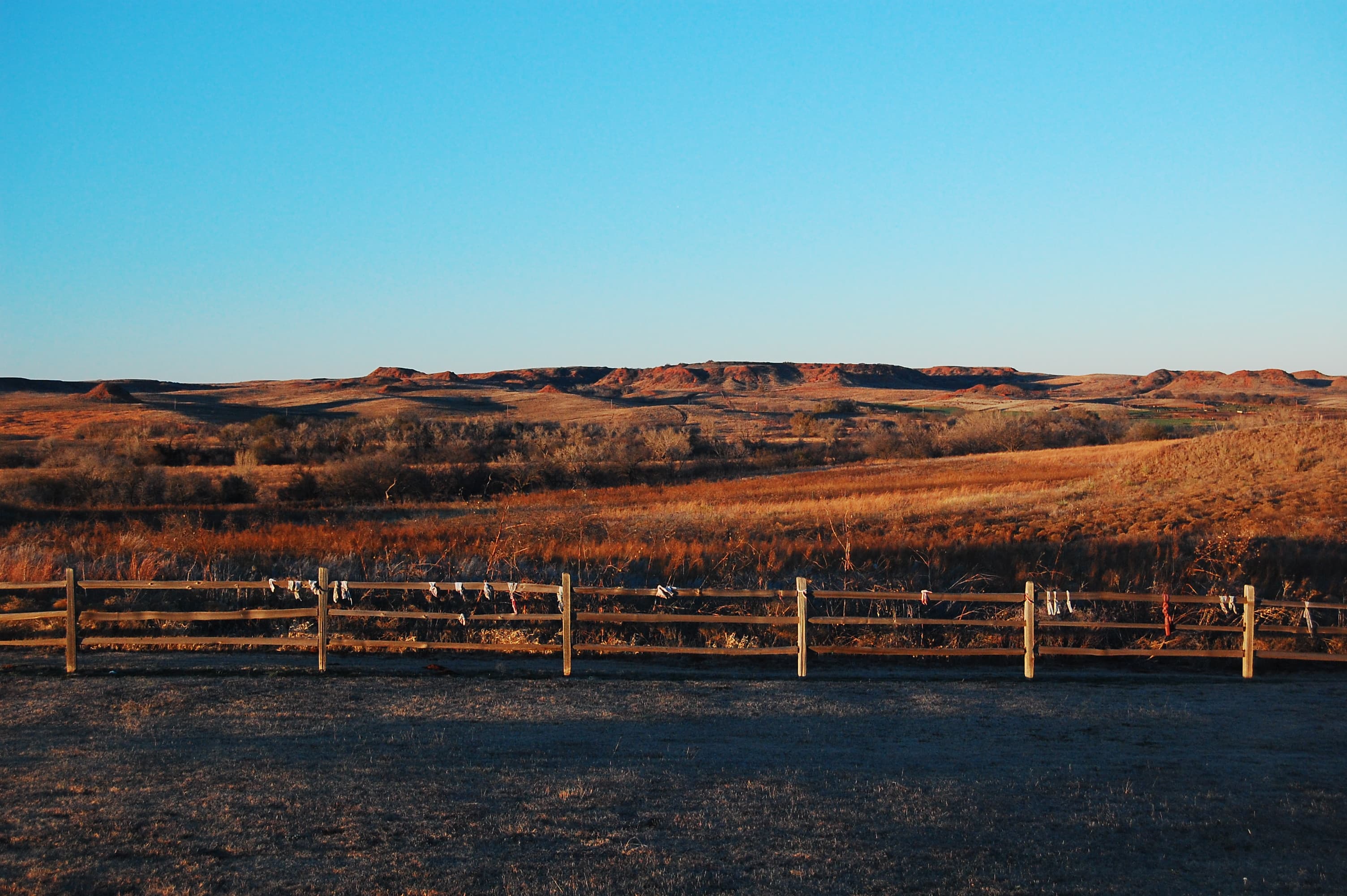
Battlefield Overlook
audio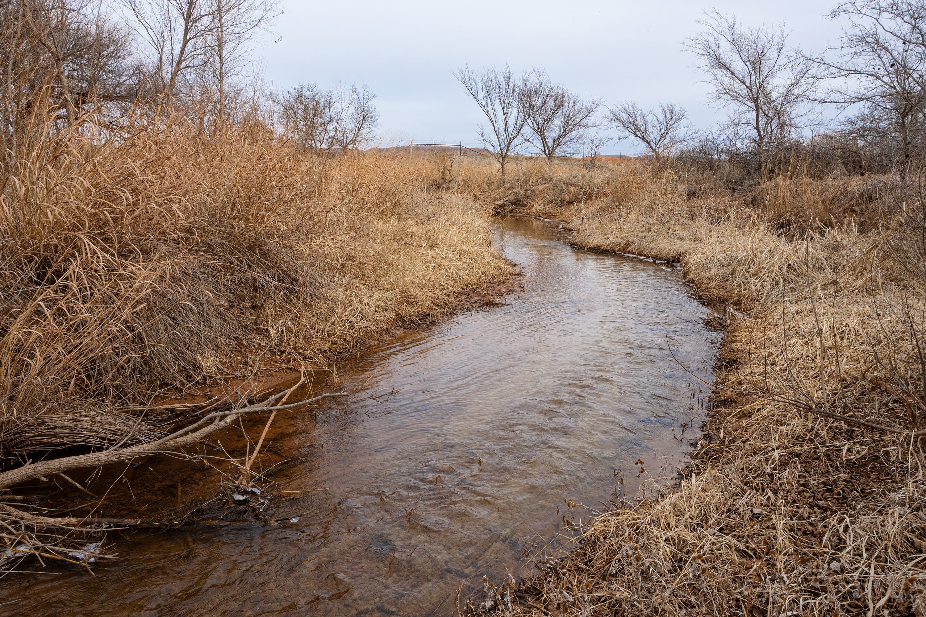
Stop Eight
audio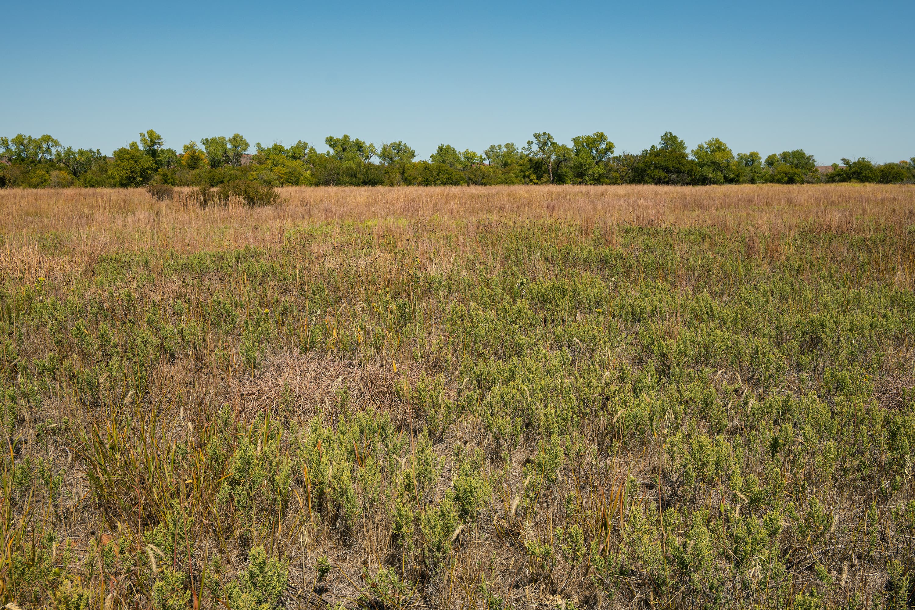
Stop Eleven
audio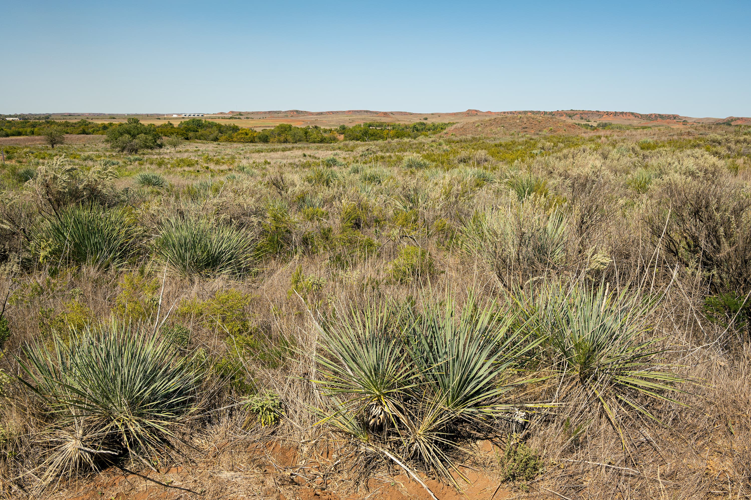
Stop Fifteen
audio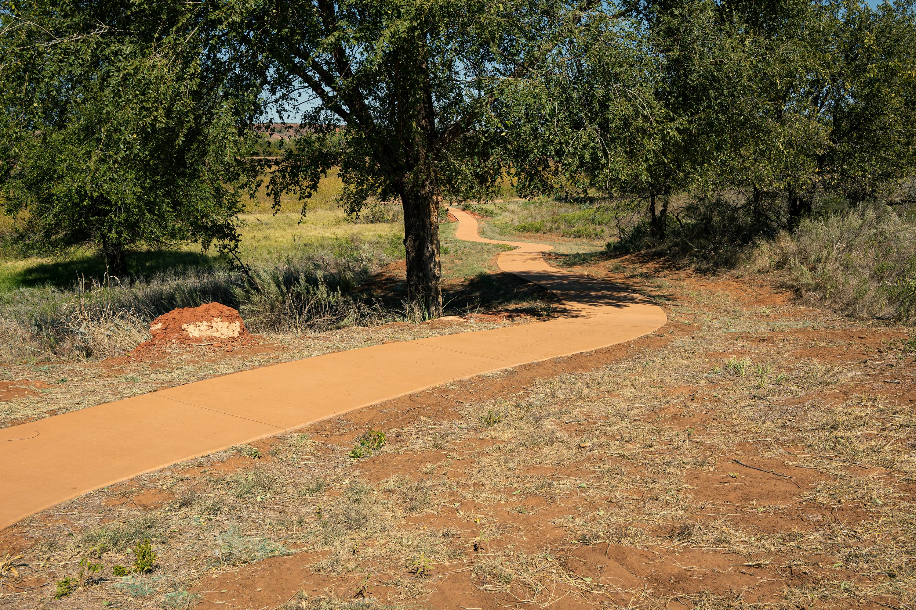
Stop Five
audio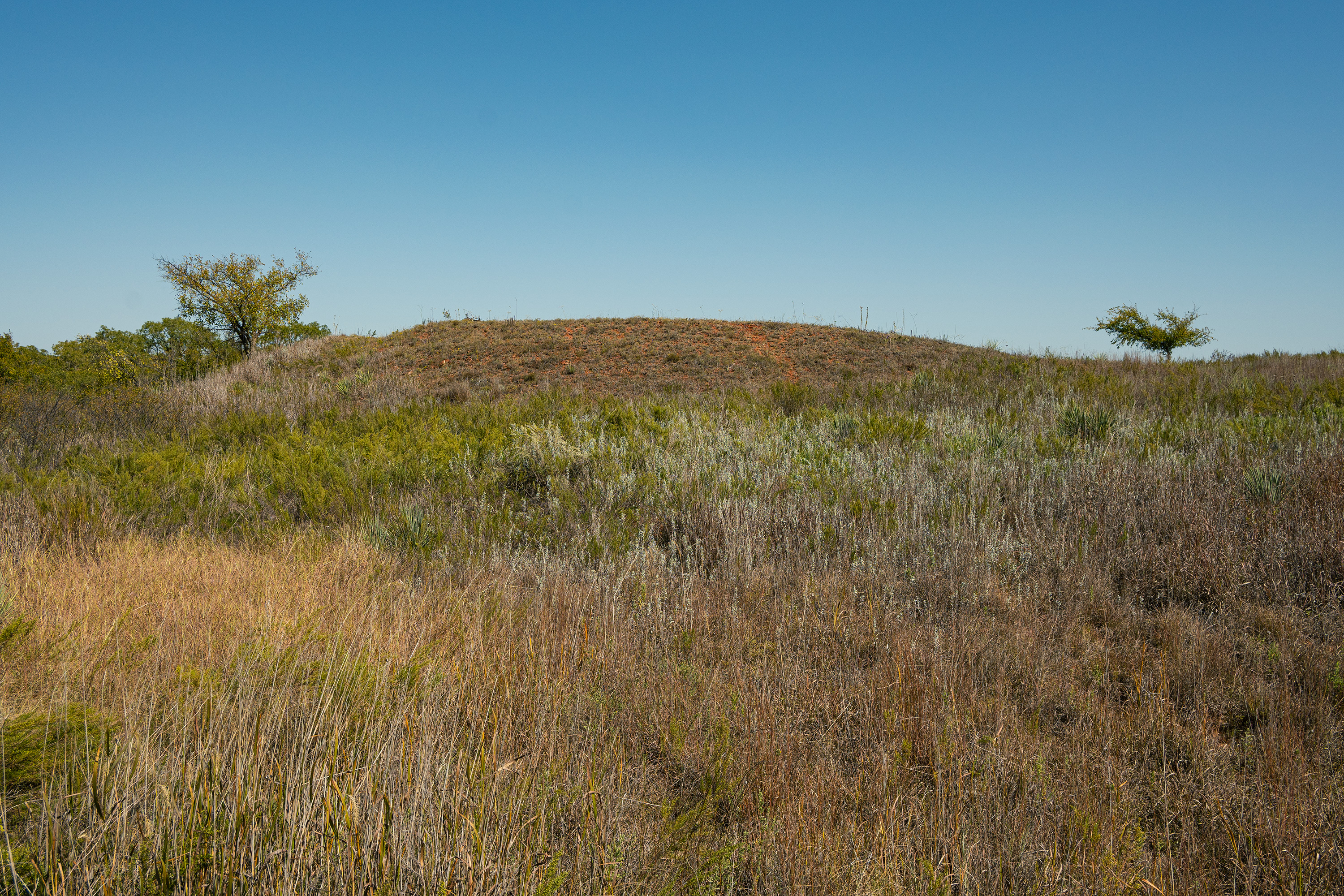
Stop Four
audio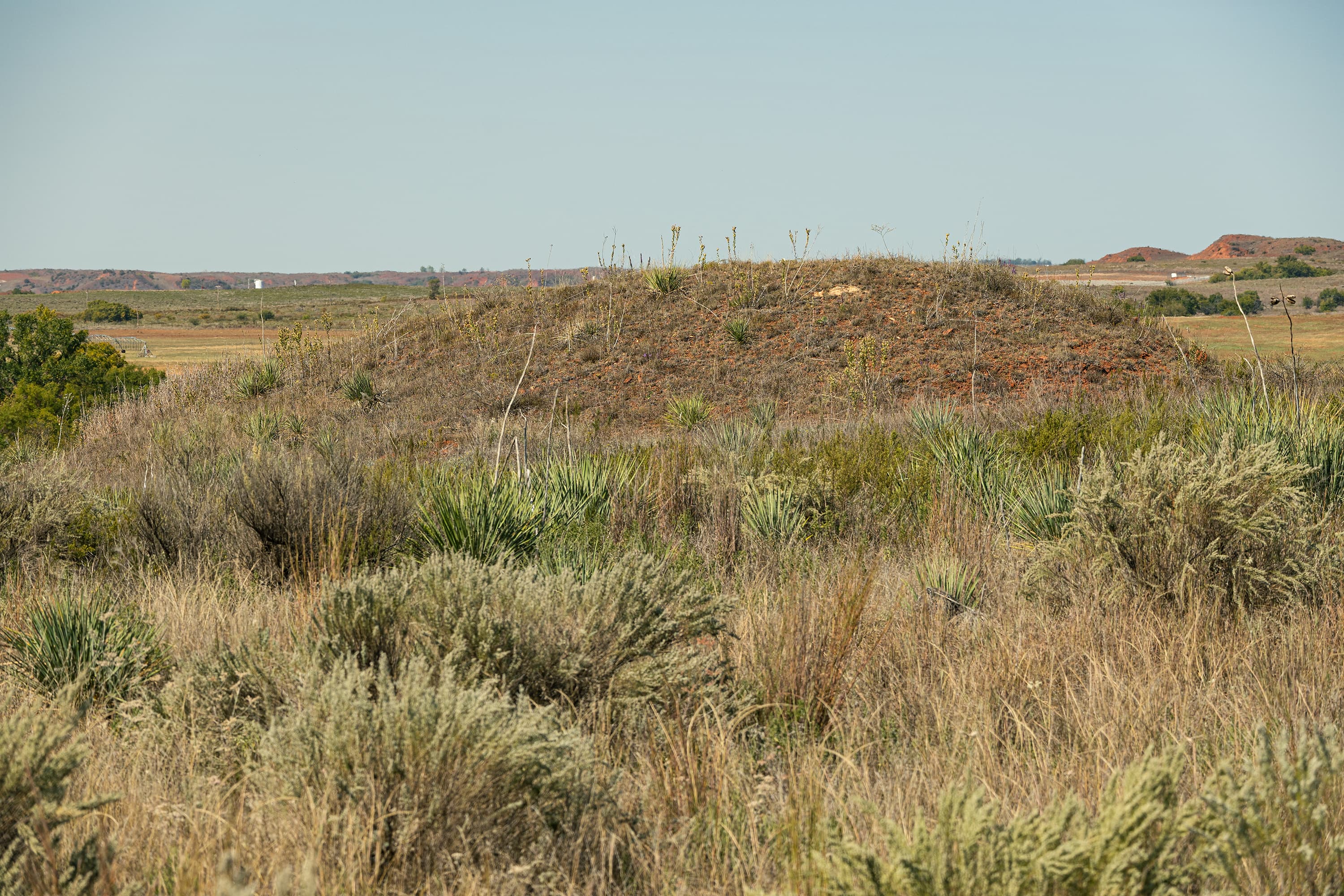
Stop Fourteen
audio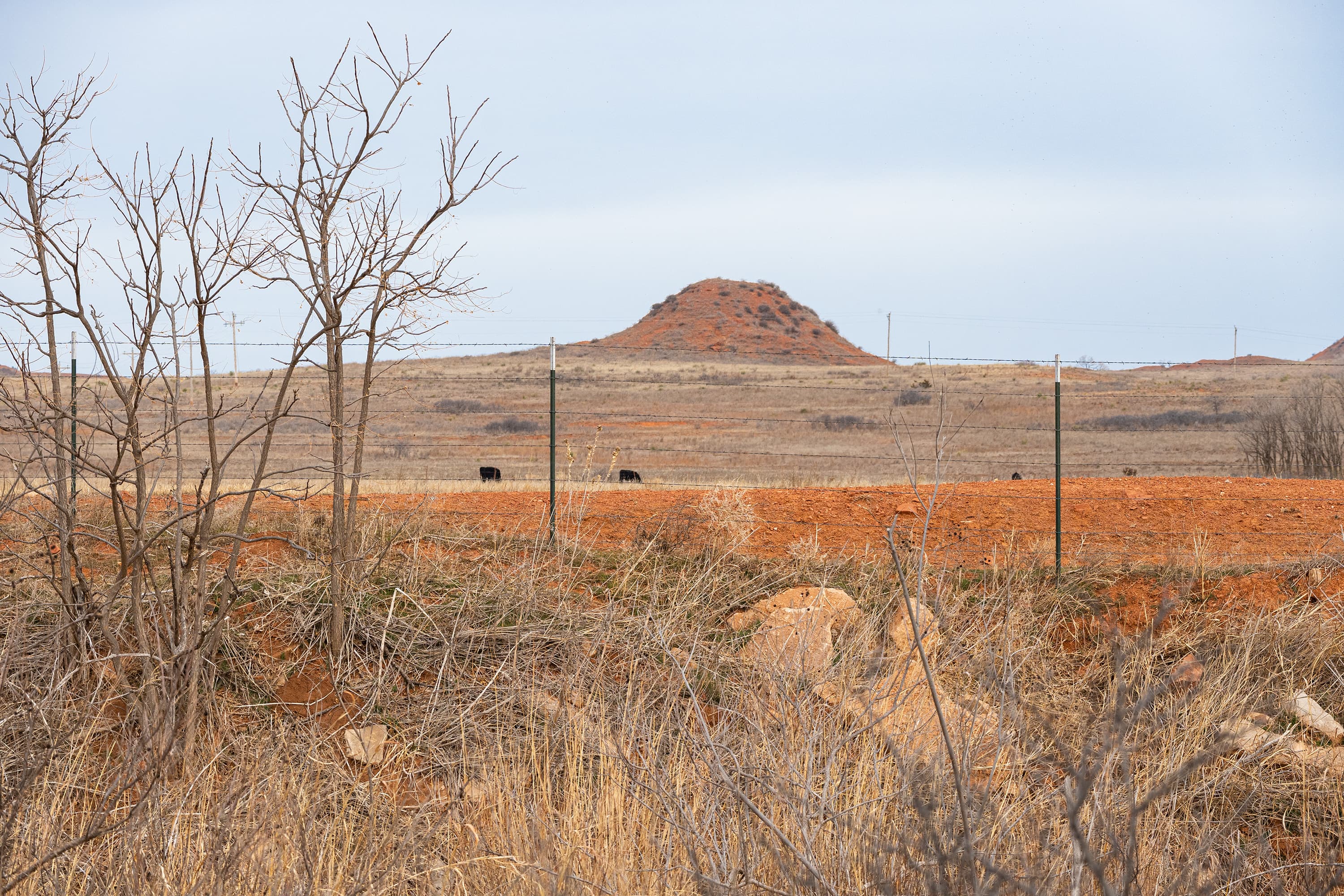
Stop Nine
audio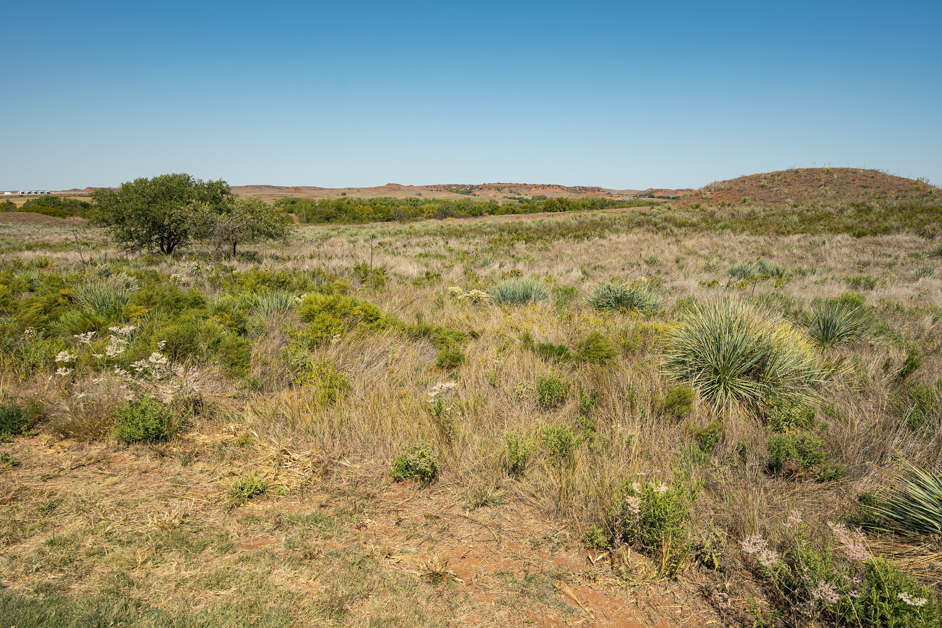
Stop One
audio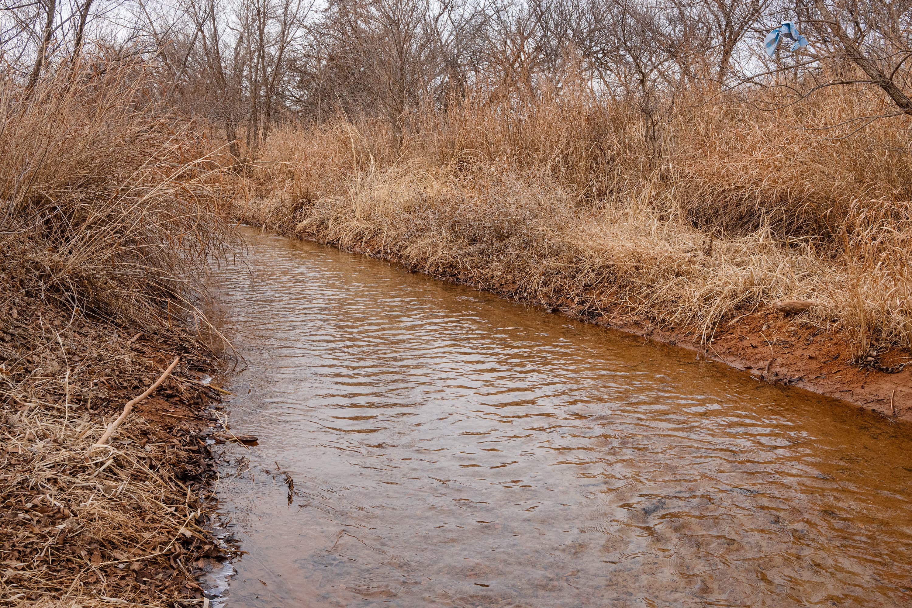
Stop Seven
audio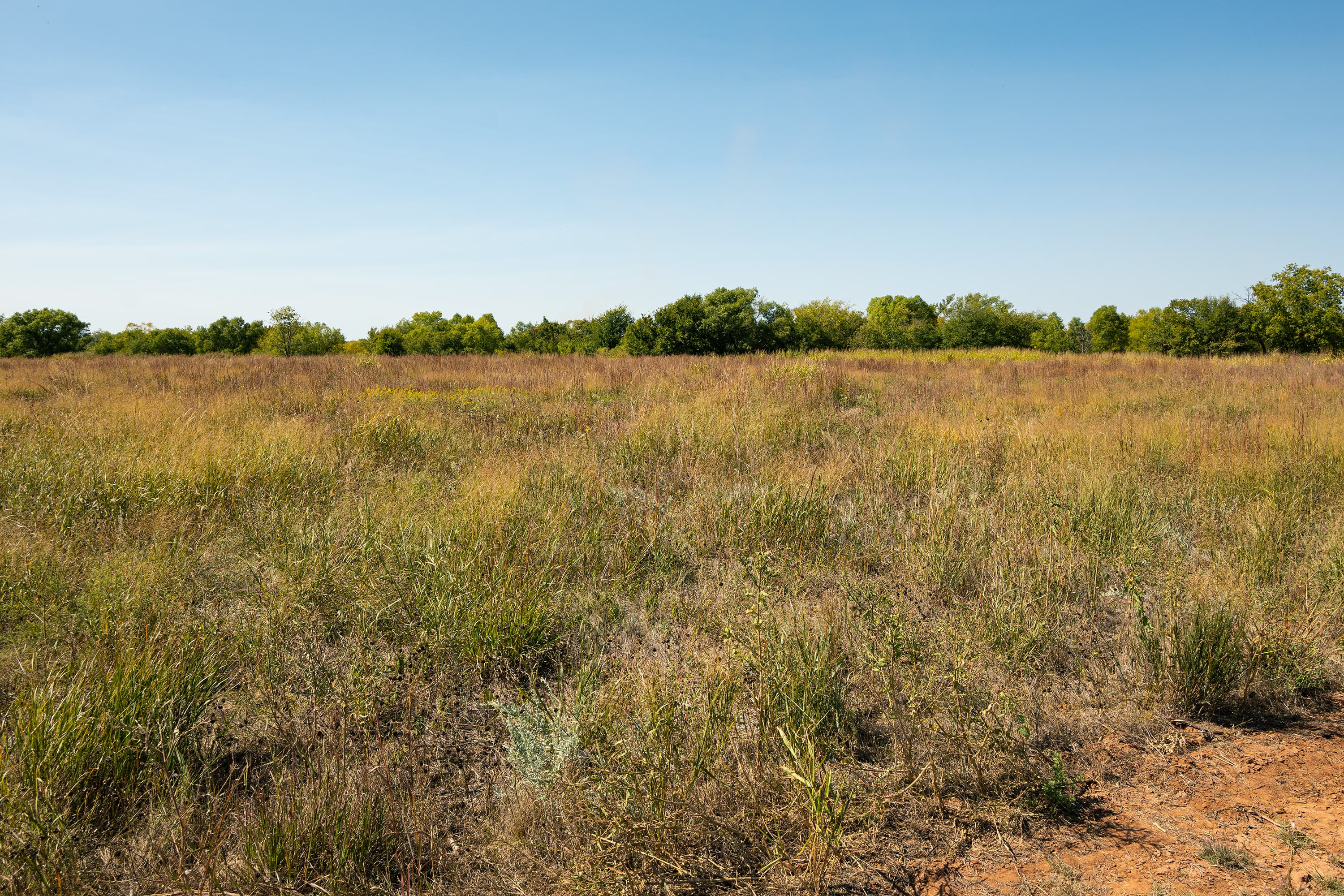
Stop Six
audio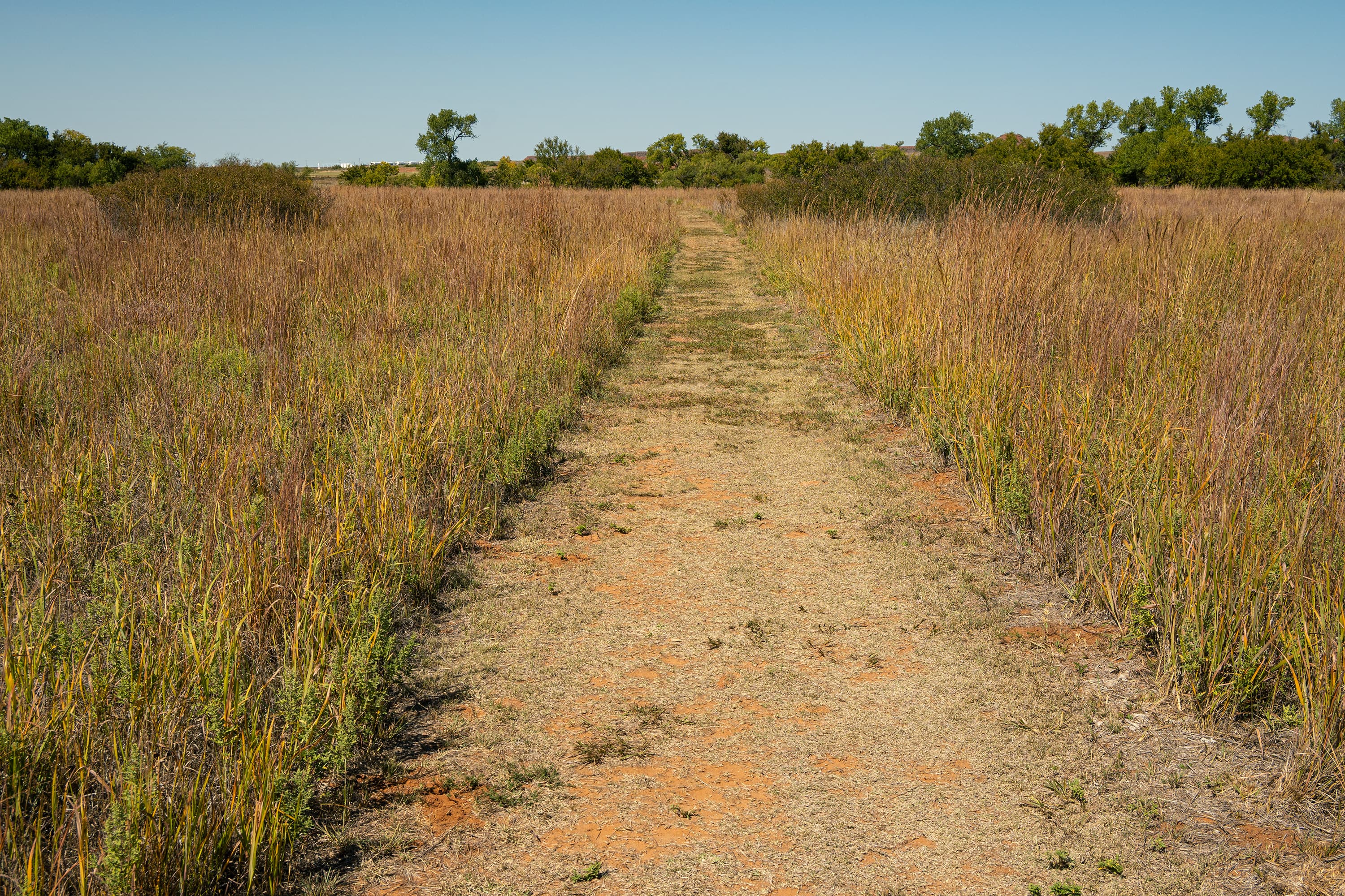
Stop Ten
audioAudio & media
🎧
🎬
🖼
Learn more
When the climate changes enough, the vegetation communities growing in any given place will also change. Under an expanded bimodal climate zone, some plant communities in western national parks are more likely to change than others. National Park Service ecologists and partners investigated the future conditions that may force some of this change. Having this information can help park managers decide whether to resist, direct, or accept the change.
Both the Clean Air Act and the National Park Service Organic Act protect air resources in national parks. Park resources affected by air quality include scenery and vistas, vegetation, water, and wildlife. Over the past three decades, the National Park Service has developed several internal and cooperative programs for monitoring various measures of air quality.
Across the US, changes in water availability are altering which plants grow where. These changes are evident at a broad scale. But not all areas experience the same climate in the same way, even within the boundaries of a single national park. A new dataset gives park managers a valuable tool for understanding why vegetation has changed and how it might change in the future under different climate-change scenarios.
Climate change may have direct and/or indirect effects on many elements of Southern Plains network ecosystems, from streams and grasslands to fires and birds.
At Washita Battlefield National Historic Site, Southern Plains Network scientists take measurements of key resources and weather. We analyze temperature, precipitation, and drought indices to determine how local climate is changing and to better understand its effect on natural resources at the park. This report summarizes Water Year 2024 climate and weather data at the park.
Climate is one of many ecological indicators monitored by the National Park Service (NPS) Division of Inventory & Monitoring (I&M). Climate data help scientists to understand ecosystem processes and help to explain many of the patterns and trends observed in other natural-resource monitoring. In NPS units of the American Southwest, three I&M networks monitor climate using the scientific protocol described here.
At Washita Battlefield National Historic Site, Southern Plains Network scientists take measurements of key resources and weather. We analyze temperature, precipitation, and drought indices to determine how local climate is changing and to better understand its effect on natural resources at the park. This report summarizes Water Year 2022 climate and weather data at the park. Temperatures were generally warmer and drier than previous averages.
At Washita Battlefield National Historic Site, Southern Plains Network scientists take measurements of key resources and weather. We analyze temperature, precipitation, and drought indices to determine how local climate is changing and to better understand its effect on natural resources at the park. This report summarizes Water Year 2023 climate and weather data at the park.
How Washita Battlefield National Historic Site connects
This park's activities, topics, location, and on-the-ground places — one hop in the graph. Drag to explore; click an activity, topic, or related park to follow it.
Park
Activity
Topic
State
VisitorCenter
PassportStamp
ParkingLot
Trail
ThingToDo
Similar parks
Share activities & topics with Washita Battlefield National Historic Site.