Lake Meredith National Recreation Area
Texas
Tonight
🌓 65% moon
8.9 h fully dark
Crowds
moderate
Open today
Open
Park Headquarters Offices: closed Dec 25 – Dec 25; Park Headquarters Offices: closed Nov 26 – Nov 26; Park Headquarters Offices: closed Dec 24 – Dec 24; Park Headquarters Offices: closed Dec 25 – Dec 25; Park Headquarters Offices: closed Dec 25 – Dec 25; Park Headquarters Offices: closed Jan 1 – Jan 1; Park Headquarters Offices: closed Jan 18 – Jan 18; Park Headquarters Offices: closed Jul 4 – Jul 4
Entrance
Free entry
Road Construction Work to begin May 4-October 24
Road construction work to occur Monday thru Friday between the hours of 7:00 am and 8:00 pm, weather permitting. Expect delays of up to 30 minutes during active construction periods.
Condition of Turkey Creek Trail
The South Turkey Creek Trail, located near the Harbor Bay Campground Area, is currently open for hiking for the first mile; however, the remainder of the trail is underwater and cannot be safely accessed.
Application for Special Use Permit
Each applicant is required to complete a new "Application For Special Use Permit" prior to any new permit being issued
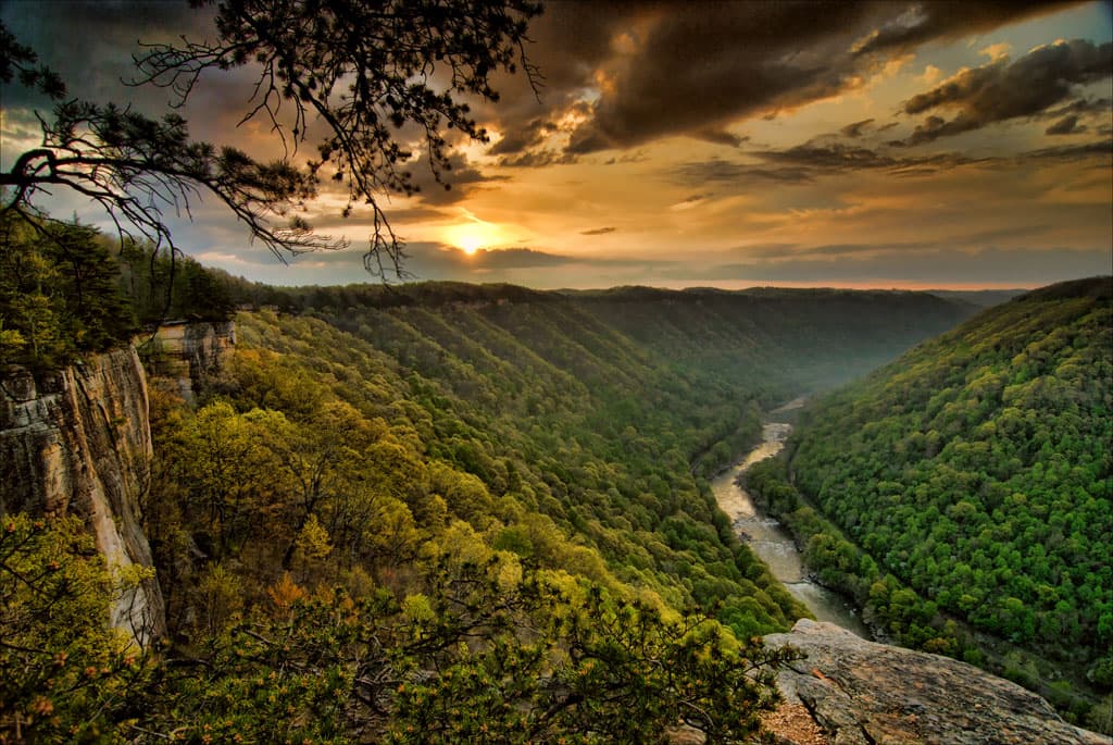
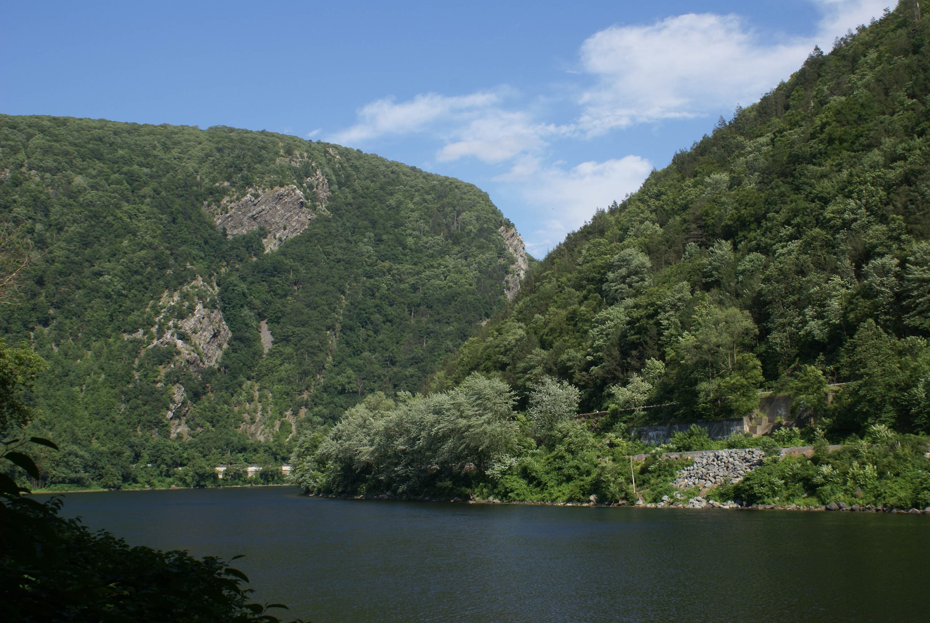
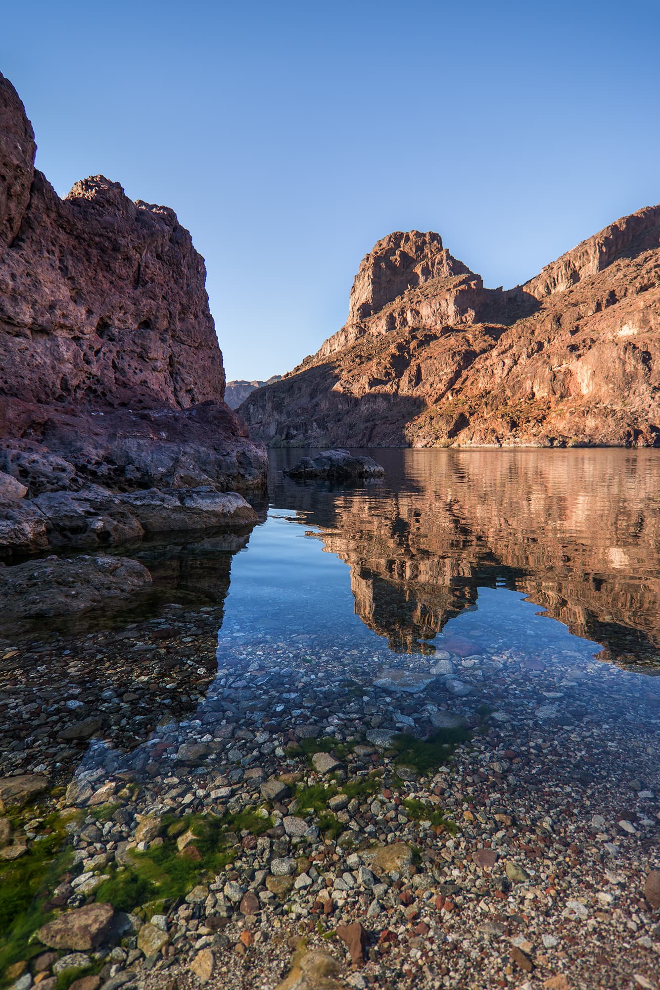
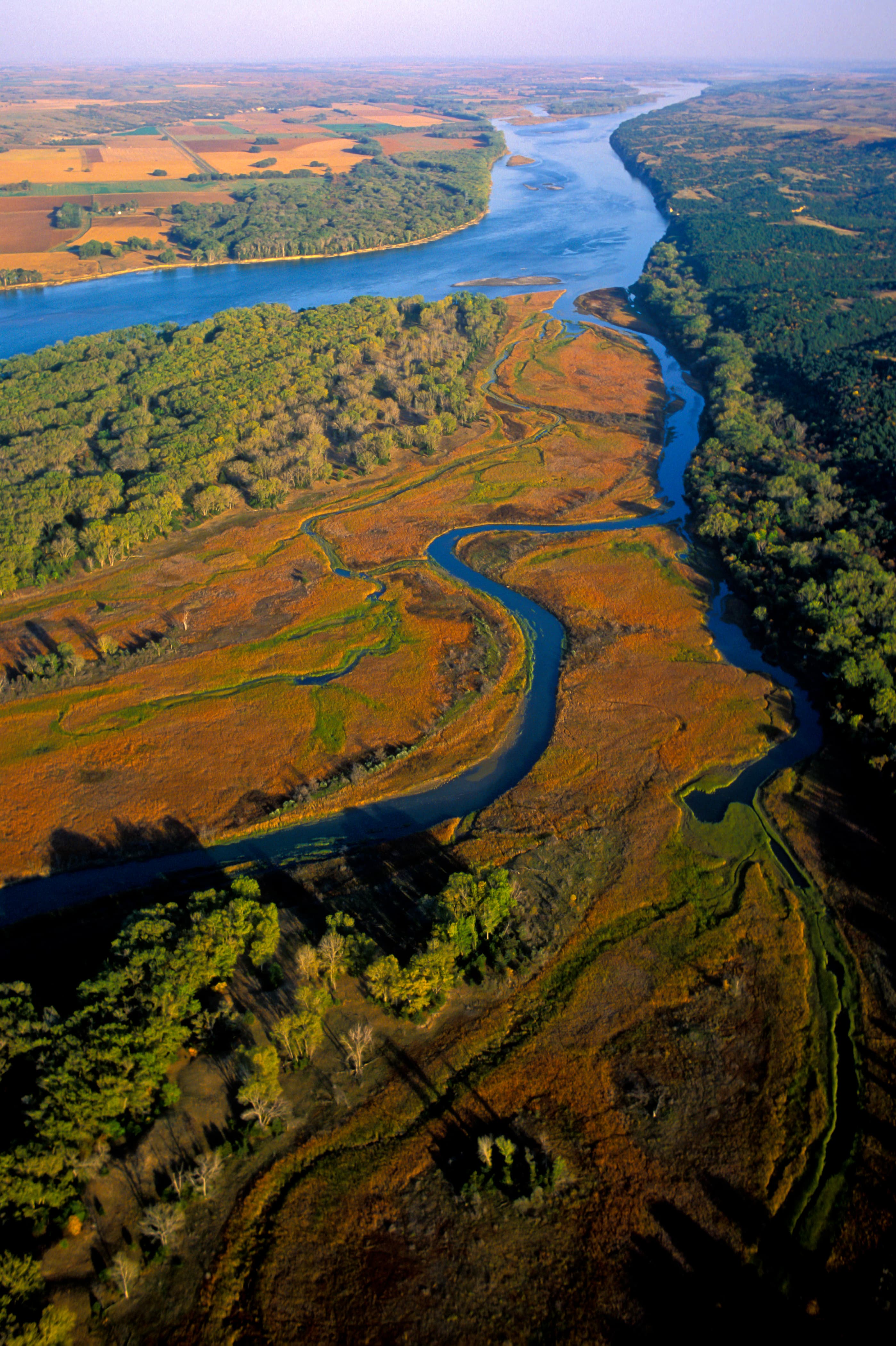
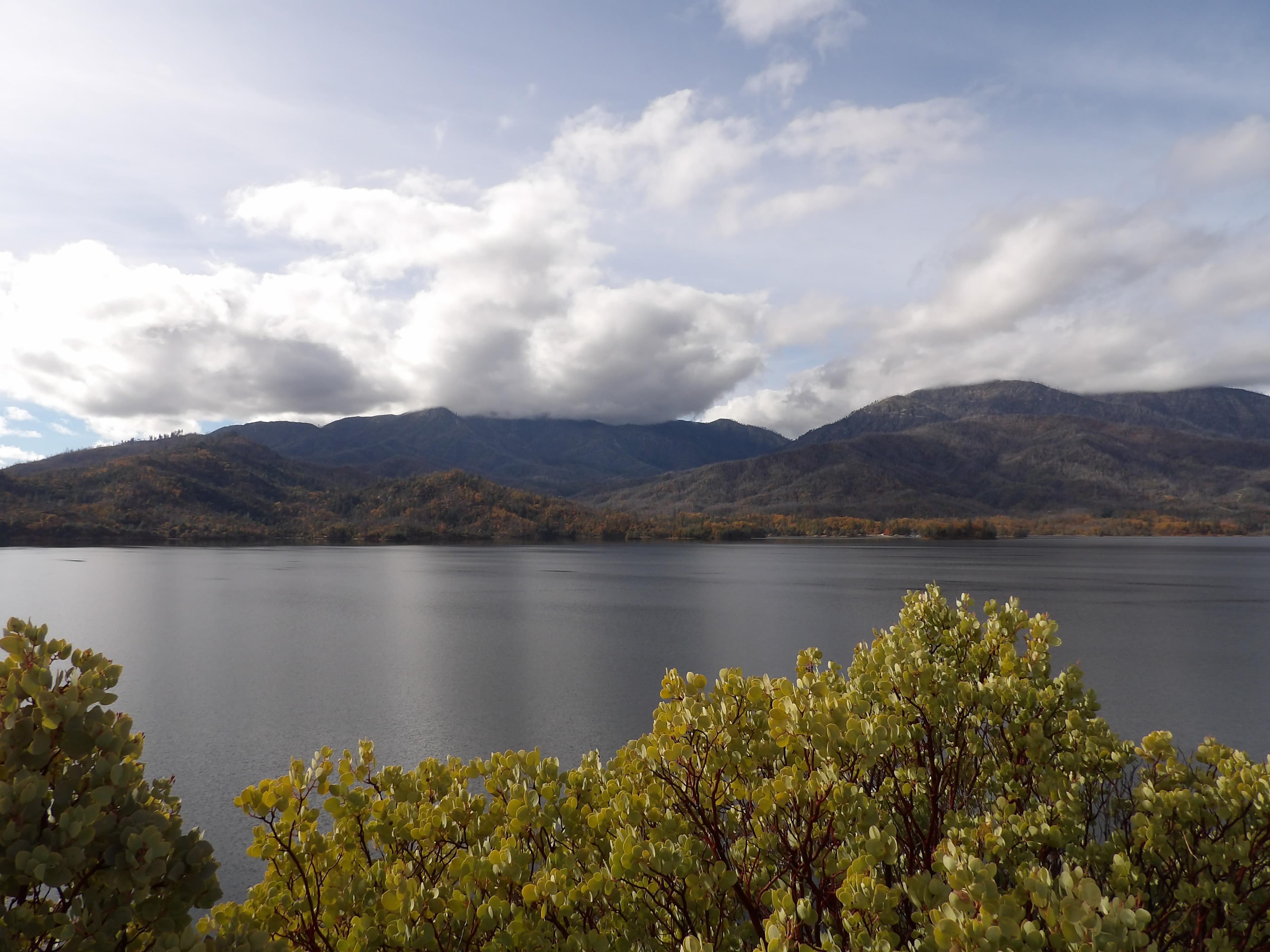
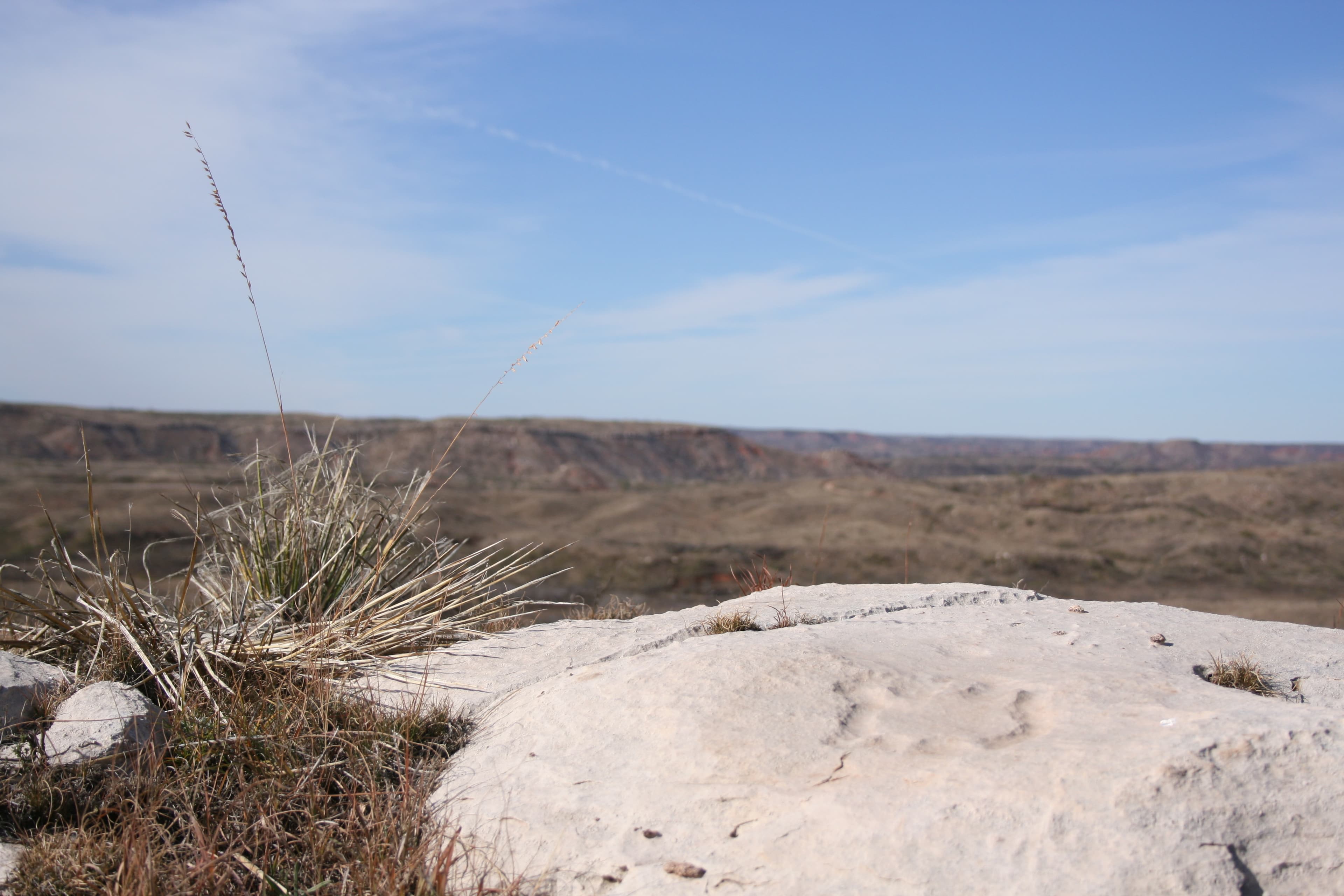
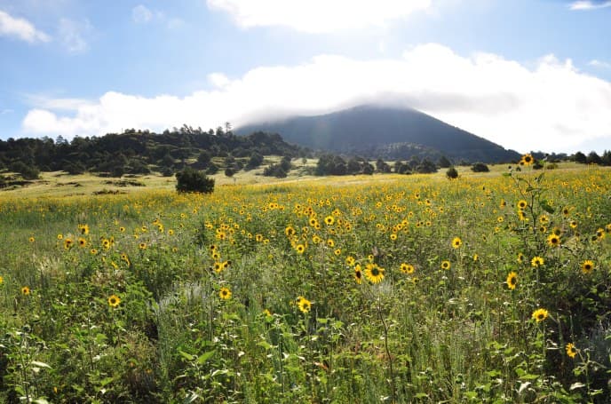
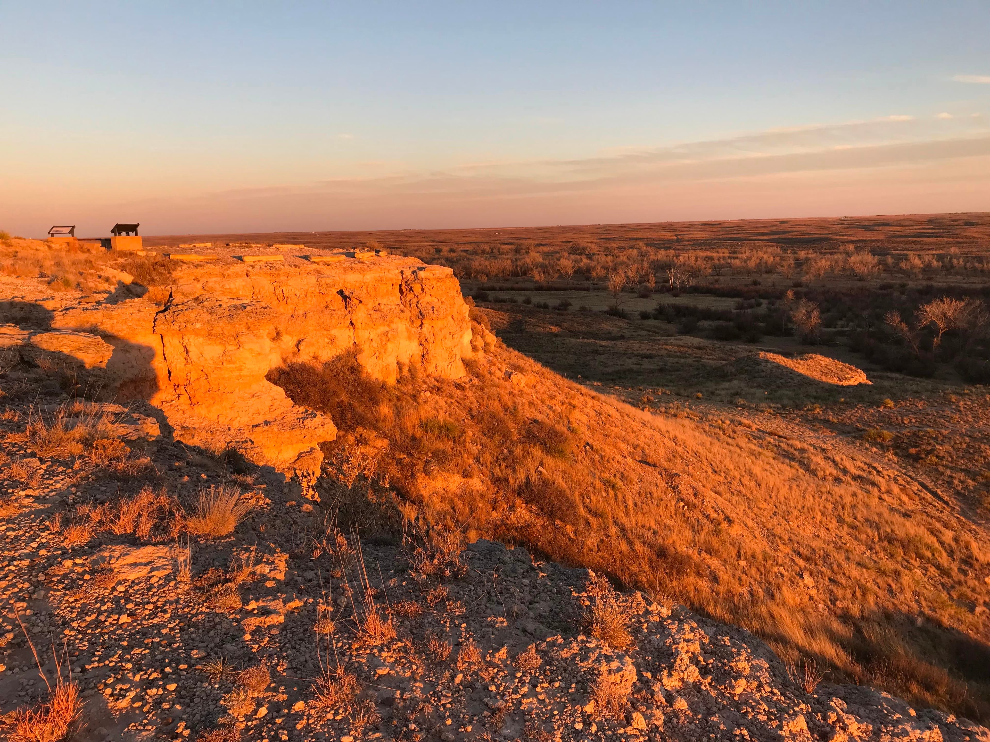
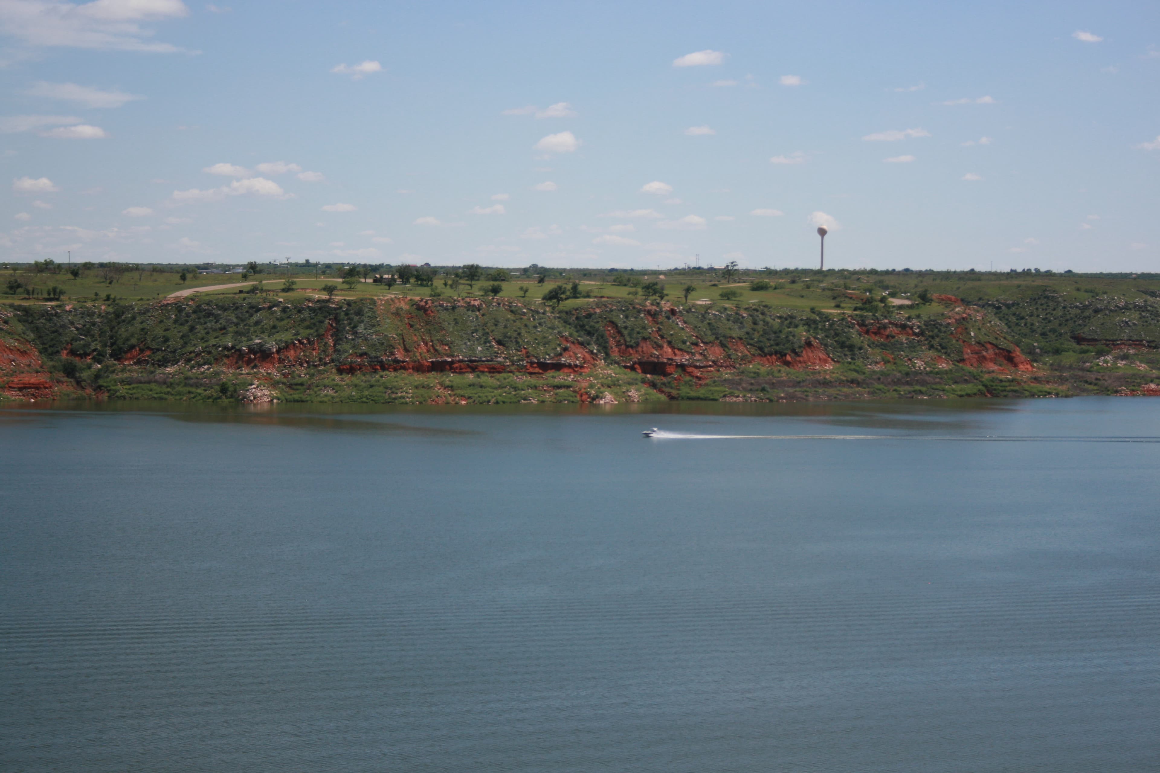
Set within the wide‑open Texas Plains, Lake Meredith National Recreation Area offers a peaceful retreat in the heart of rugged grasslands. Over thousands of years, the Canadian River carved dramatic 200‑foot canyons—known as breaks—that now frame the lake in striking layers of color and texture. These quiet coves sustain an unexpectedly rich array of life, providing seven distinct habitats.
Activities
No entrance fee.
Hours & seasons
The National Recreation Area is open 24 hours a day, 365 days a year.
⚠ Park Headquarters Offices: closed Dec 25 – Dec 25; Park Headquarters Offices: closed Nov 26 – Nov 26; Park Headquarters Offices: closed Dec 24 – Dec 24; Park Headquarters Offices: closed Dec 25 – Dec 25; Park Headquarters Offices: closed Dec 25 – Dec 25; Park Headquarters Offices: closed Jan 1 – Jan 1; Park Headquarters Offices: closed Jan 18 – Jan 18; Park Headquarters Offices: closed Jul 4 – Jul 4
Generally open:
winterspringsummerfallHours are reported by the park — verify before you go.
📞 806 857-3151
✉ lamr_interpretation@nps.govConditions
Quietest months (fewer crowds): Jan, Oct, Nov, Dec
Typical crowds: moderate
Weather now: ☀️ Clear, 88°F
☁️ 90°/64°
☁️ 77°/66°
☁️ 84°/63°
Typical monthly recreation visits · NPS avg 2023–2025 — orange months are the quietest by crowds.
Quietest months
Relative crowds by month — lighter is quieter; ringed months are the calmest by crowds.
Jan
18%
Feb
32%
Mar
40%
Apr
51%
May
72%
Jun
100%
Jul
82%
Aug
56%
Sep
45%
Oct
30%
Nov
15%
Dec
20%
Log a sky reading
Measured the sky with an SQM meter or app? Add your reading (16 = city glow … 22 = pristine). Opt in under “Travelers like you” to share it on the community leaderboard.
Live conditions
Campgrounds
Blue Creek · 50 sites · first-come
Blue West Campground · 30 sites · first-come
Bugbee Canyon · 10 sites · first-come
Cedar Canyon Campground · 15 sites · first-come
Chimney Hollow Campground · 15 sites
Fritch Fortress · 15 sites · first-come · dump station
Harbor Bay Campground · 25 sites · first-come
McBride Canyon and Mullinaw Creek Campgrounds · 40 sites · first-come
Plum Creek Campgrounds · 45 sites · first-come
Rosita Flats · 75 sites · first-come
Sanford Yake Campground · 51 sites · first-come
Visitor centers
Park Headquarters
Accessibility
9 accessible campground(s)
4 audio-described place(s)
Reported by the park — verify before you go.
Not an official safety source — always defer to NPS.gov and rangers for life-safety decisions.
By the numbers
A visual read on Lake Meredith National Recreation Area — its character, trails, sky, and weather.
Park fingerprint
How this park scores across the dimensions travelers care about.
3-day forecast
Daily high and low temperatures (°F).
Passport stamps
Mark the stamps you've collected — they show in your memory and along your routes.
🎫 Park Headquarters
Places to see
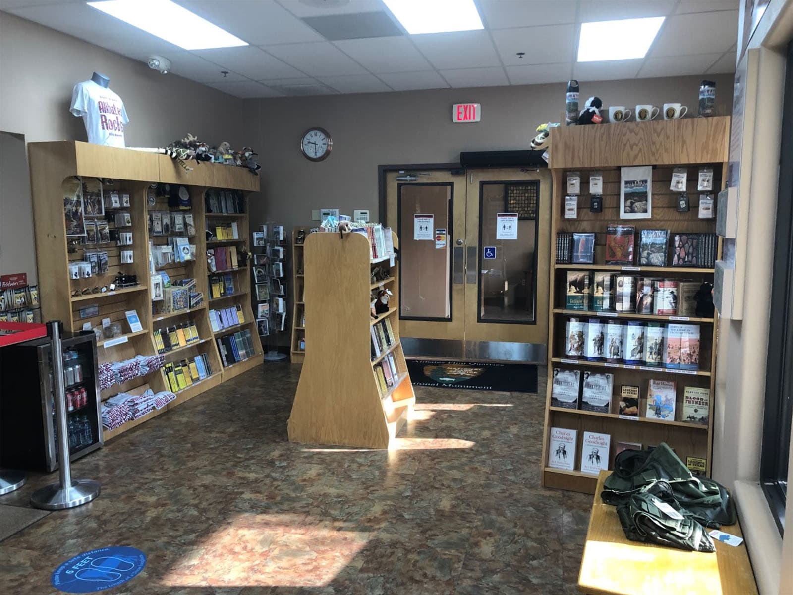
Alibates Flint Quarries Bookstore
audio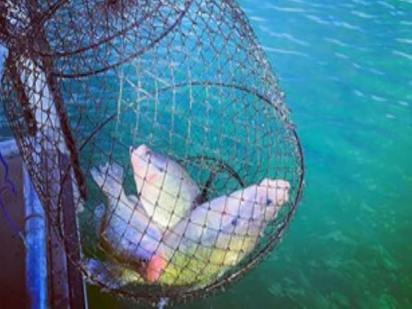
Fishing
audio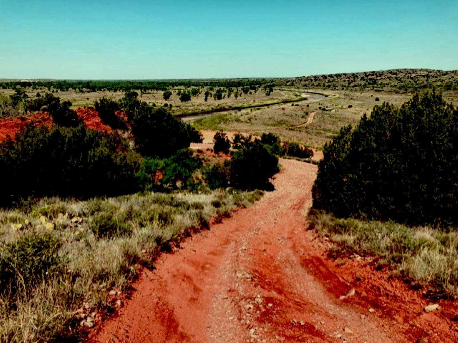
Off-Road Adventures
audio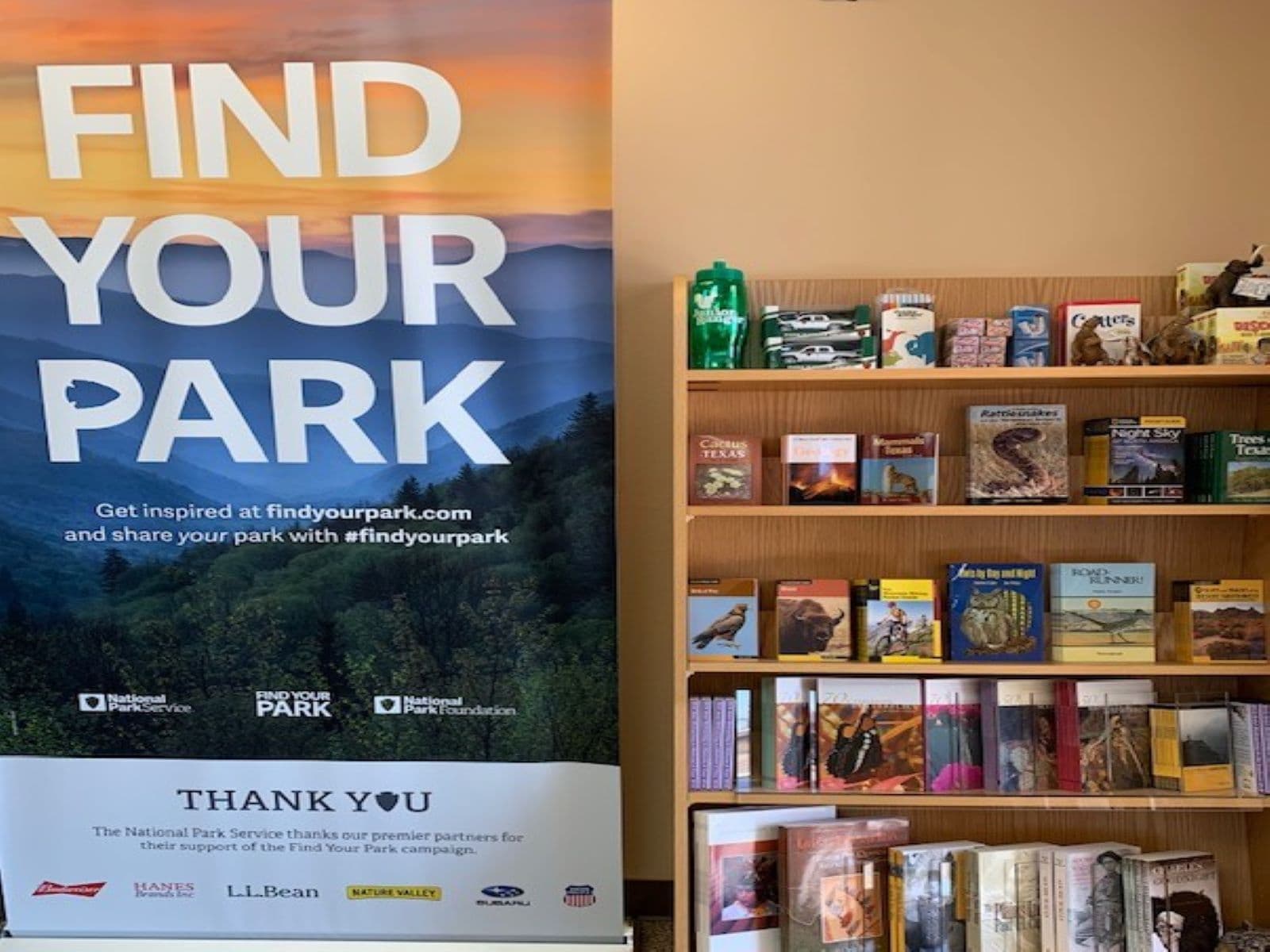
Park Bookstore
audioAudio & media
🎧
🎬
🖼
Learn more
When the climate changes enough, the vegetation communities growing in any given place will also change. Under an expanded bimodal climate zone, some plant communities in western national parks are more likely to change than others. National Park Service ecologists and partners investigated the future conditions that may force some of this change. Having this information can help park managers decide whether to resist, direct, or accept the change.
Across the US, changes in water availability are altering which plants grow where. These changes are evident at a broad scale. But not all areas experience the same climate in the same way, even within the boundaries of a single national park. A new dataset gives park managers a valuable tool for understanding why vegetation has changed and how it might change in the future under different climate-change scenarios.
Climate change may have direct and/or indirect effects on many elements of Southern Plains network ecosystems, from streams and grasslands to fires and birds.
Climate is one of many ecological indicators monitored by the National Park Service (NPS) Division of Inventory & Monitoring (I&M). Climate data help scientists to understand ecosystem processes and help to explain many of the patterns and trends observed in other natural-resource monitoring. In NPS units of the American Southwest, three I&M networks monitor climate using the scientific protocol described here.
At Lake Meredith National Recreation Area, Southern Plains Network scientists monitor climate and water. Understanding changes in climate, groundwater, and surface water is key to assessing the condition of park resources. This article presents monitoring results from water year 2022. There were more extremely hot and extremely cold days in water year 2022 than the long-term average.
At Lake Meredith National Recreation Area, Southern Plains Network scientists monitor climate and water. Understanding changes in climate, groundwater, and surface water is key to assessing the condition of park resources. This article presents monitoring results from water year 2023.
The 2,202-acre Double Diamond wildfire started near Fritch, Texas, on May 11, 2014. The fire moved very rapidly through several residential subdivisions and eventually into the park. NPS wildland firefighters were some of the first units on scene, and were heavily involved with suppression efforts in the communities. Assistance came from numerous volunteer fire departments; Texas A&M Forest Service; and numerous other organizations.
Firefighters use drip torches to treat vegetation between a fence and Highway 207 in Carson County, Texas.
How Lake Meredith National Recreation Area connects
This park's activities, topics, location, and on-the-ground places — one hop in the graph. Drag to explore; click an activity, topic, or related park to follow it.
Park
Activity
Topic
State
Campground
VisitorCenter
PassportStamp
Trail
Alert
Similar parks
Share activities & topics with Lake Meredith National Recreation Area.