Chickasaw National Recreation Area
Oklahoma
Tonight
🌓 65% moon
9 h fully dark
Crowds
moderate
Open today
Open
Entrance
Free entry
Point Campground Closure
The Point Campground will be closed from June 15 - 25, 2026 for road repaving and construction. Reservations cannot be made during this time.
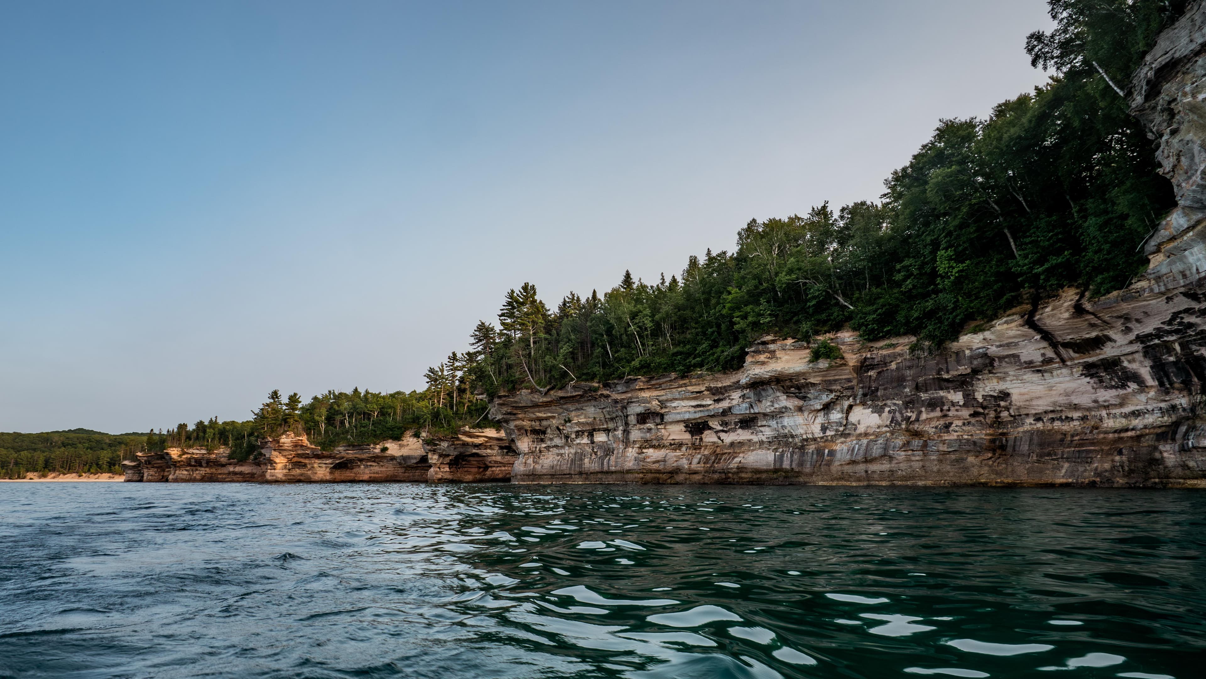
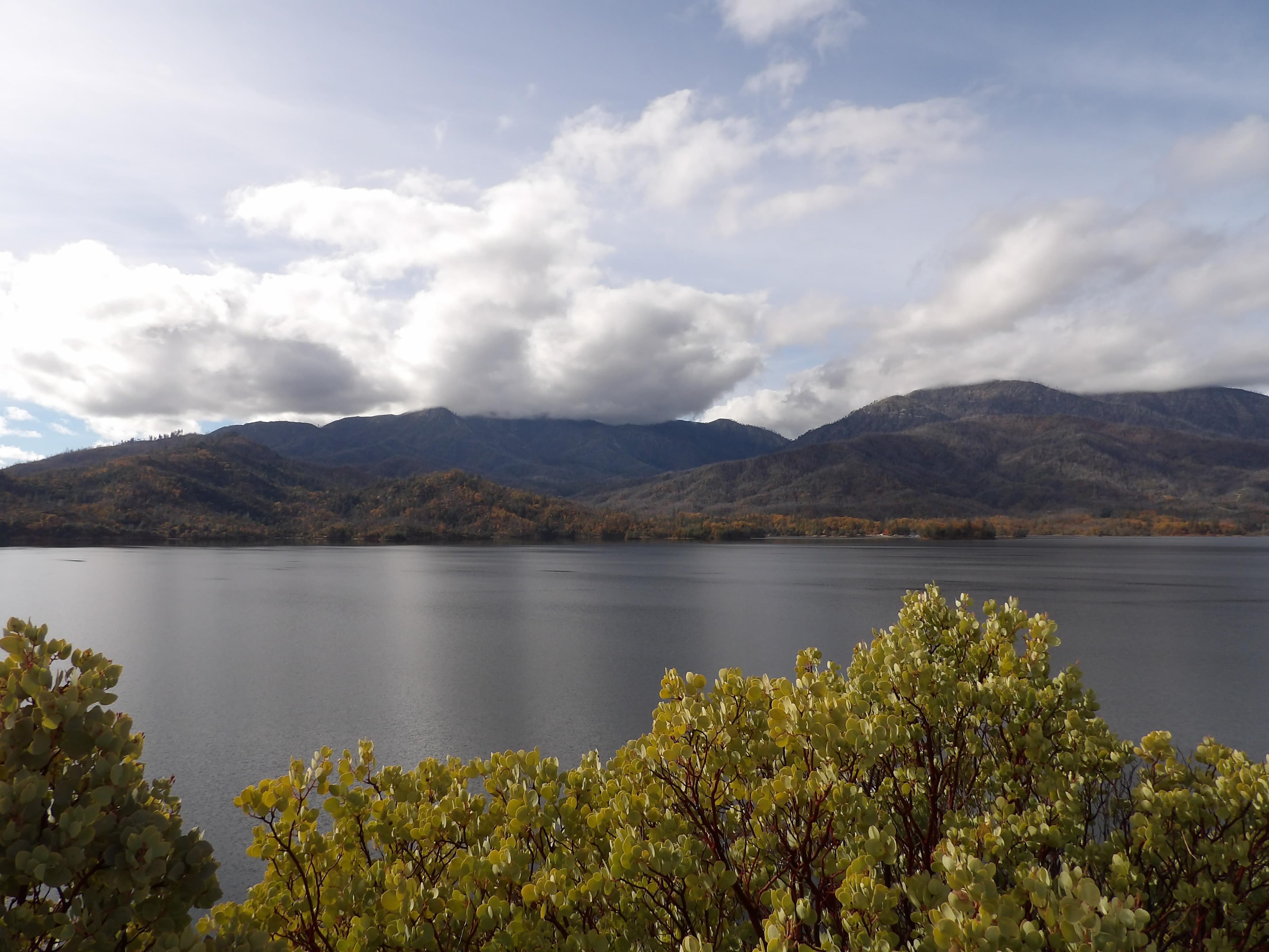
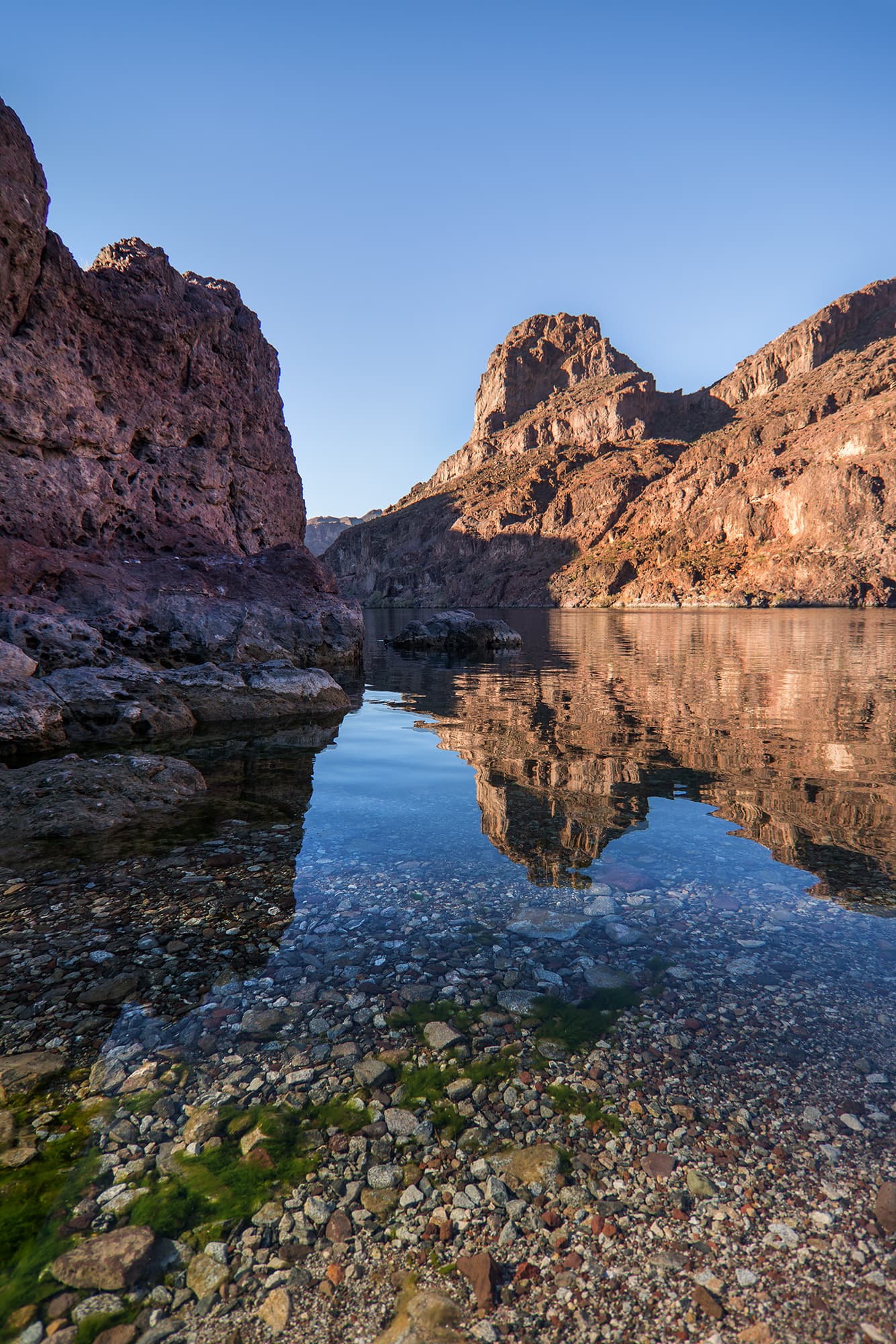
Springs, streams, lakes - whatever its form, water is the attraction at Chickasaw National Recreation Area.
Topics
No entrance fee.
Hours & seasons
Many outdoor areas are available 24 hours a day. Please visit the current conditions page for details.
Generally open:
winterspringsummerfallHours are reported by the park — verify before you go.
📞 5806227234
✉ CHIC_Interpretation@nps.govConditions
Quietest months (fewer crowds): Jan, Feb, Nov, Dec
Typical crowds: moderate
Weather now: ☁️ Overcast, 94°F
☁️ 96°/75°
☁️ 88°/72°
🌦️ 89°/68°
Typical monthly recreation visits · NPS avg 2023–2025 — orange months are the quietest by crowds.
Quietest months
Relative crowds by month — lighter is quieter; ringed months are the calmest by crowds.
Jan
24%
Feb
29%
Mar
44%
Apr
50%
May
70%
Jun
90%
Jul
100%
Aug
74%
Sep
47%
Oct
36%
Nov
28%
Dec
23%
Log a sky reading
Measured the sky with an SQM meter or app? Add your reading (16 = city glow … 22 = pristine). Opt in under “Travelers like you” to share it on the community leaderboard.
Campgrounds
Buckhorn Campground Loop A · 19 sites · first-come · dump station
Buckhorn Campground Loop B · 25 sites · first-come · dump station
Buckhorn Campground Loop C ↗ · 41 sites · hookups · dump station
Buckhorn Campground Loop D · 48 sites · first-come · hookups · dump station
Cold Springs Campground ↗ · 65 sites
Guy Sandy Campground · 40 sites · first-come
Rock Creek Campground ↗ · 100 sites · first-come · dump station
The Point Campground ↗ · 55 sites · first-come · hookups · dump station
Visitor centers
Travertine Nature Center
Accessibility
4 accessible campground(s)
Reported by the park — verify before you go.
Not an official safety source — always defer to NPS.gov and rangers for life-safety decisions.
By the numbers
A visual read on Chickasaw National Recreation Area — its character, trails, sky, and weather.
Park fingerprint
How this park scores across the dimensions travelers care about.
3-day forecast
Daily high and low temperatures (°F).
Passport stamps
Mark the stamps you've collected — they show in your memory and along your routes.
🎫 Travertine Nature Center
Places to see
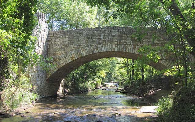
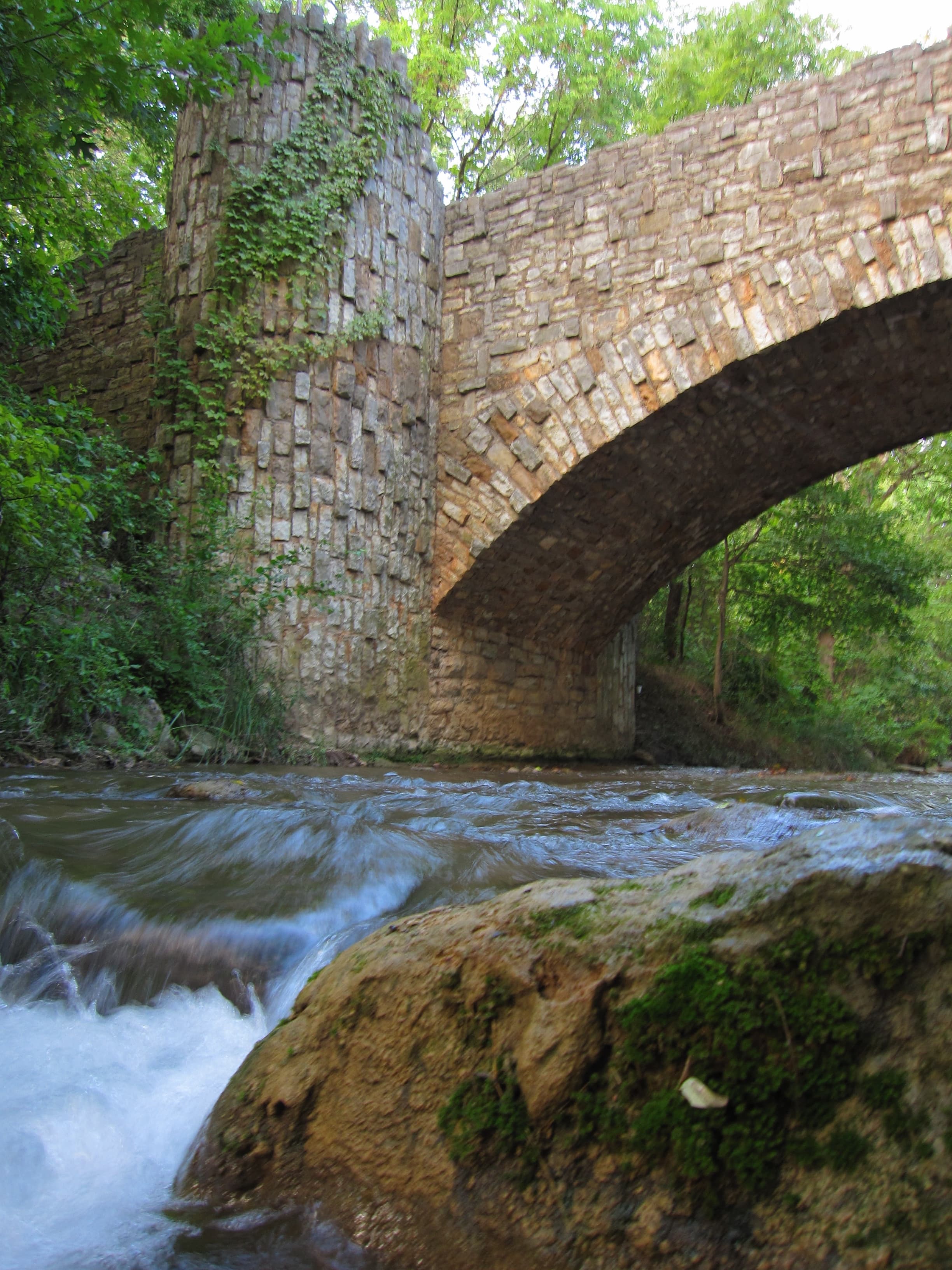
Chickasaw's Lincoln Bridge
Audio & media
🎧
🎬
🖼
Learn more
Rangers in leggings? It may not sound very practical or professional, but leggings were part of National Park Service (NPS) uniforms for decades. They weren’t the leggings we think of today though! Practical for protecting the legs, leather puttees or leggings were part of the "ranger look" from the earliest NPS uniforms. As the NPS evolved and the National Park System expanded, however, they became unfashionable and unnecessary.
One of the highlights of the National Park Service (NPS) History Collection is the leather hatband that belonged to Horace M. Albright. There was never any doubt that it would be the subject of a 50 Nifty Finds article. When we sat down to write it, however, we quickly found we had more questions than answers. Follow our staff on a research journey that goes from a one-of-a-kind hatband attributed to a former NPS director to a forgotten chapter of NPS uniform history.
There is the prevailing misconception that African Americans do not participate in outdoor recreation; however, this misconception is far from reality. While racially exclusionary practices attempted to impose limits on African American participation in outdoor recreation, African Americans participated in opportunities offered by the larger society and also carved out spaces of their own.
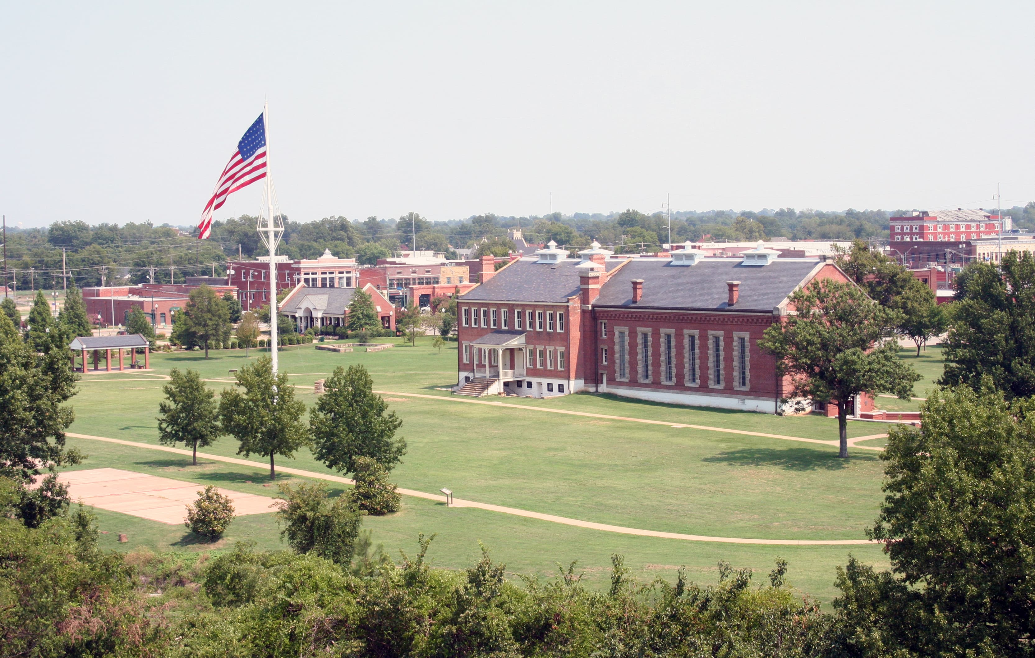
Antelope and Buffalo Springs are part of a historic, designed landscape located on the far eastern portion of the Platt National Park National Historic Landmark District. The area is primarily used for passive recreation such as hiking, walking, and nature study. The creation of the Nature Center building and its site in the 1960s is significant for its association with Mission 66, a nationwide National Park Service effort to modernize its facilities.
The 59-acre Bromide Springs and Bromide Hill landscape is located in the western edge of the Platt National Park National Historic Landmark District. In addition to the springs, the landscape contains a large picnic area and entry landscape located on a flat terrace to the north of Rock Creek. Formerly used as a campground and gathering area, the area south of Rock Creek is a park-like landscape of grass and canopy trees, used primarily for picnicking.
The 392-acre Buffalo Pasture and Prairie Uplands landscape is located in the central portion of the Platt National Park National Historic Landmark District. In general, the area is primarily a natural landscape, with few visitor facilities. Today, the area is still important as a repository of early park history, as exemplified by the buffalo herd, which has been a feature in the park since 1920.
The 15-acre Central Campground is the smallest of the three campground developments within the Platt National Park National Historic Landmark District. Features of the campground include Travertine Creek, which winds through the landscape, as does the Perimeter Road of the park. Panther Falls is also located nearby. The area is used for camping and associated recreational activities, including bathing in Travertine Creek.
Across the US, changes in water availability are altering which plants grow where. These changes are evident at a broad scale. But not all areas experience the same climate in the same way, even within the boundaries of a single national park. A new dataset gives park managers a valuable tool for understanding why vegetation has changed and how it might change in the future under different climate-change scenarios.
How Chickasaw National Recreation Area connects
This park's activities, topics, location, and on-the-ground places — one hop in the graph. Drag to explore; click an activity, topic, or related park to follow it.
Park
Activity
Topic
State
Campground
VisitorCenter
PassportStamp
Trail
Alert
Similar parks
Share activities & topics with Chickasaw National Recreation Area.