Alibates Flint Quarries National Monument
Texas
Tonight
🌓 65% moon
9 h fully dark
Crowds
low
Open today
Open
Entrance
Free entry
Road Construction Work to begin May 4-Oct 24, 2026
Road construction to occur Monday through Friday between the hours of 7:00 am and 8:00 pm, weather permitting. Expect delays of up to 30 minutes during active construction periods.
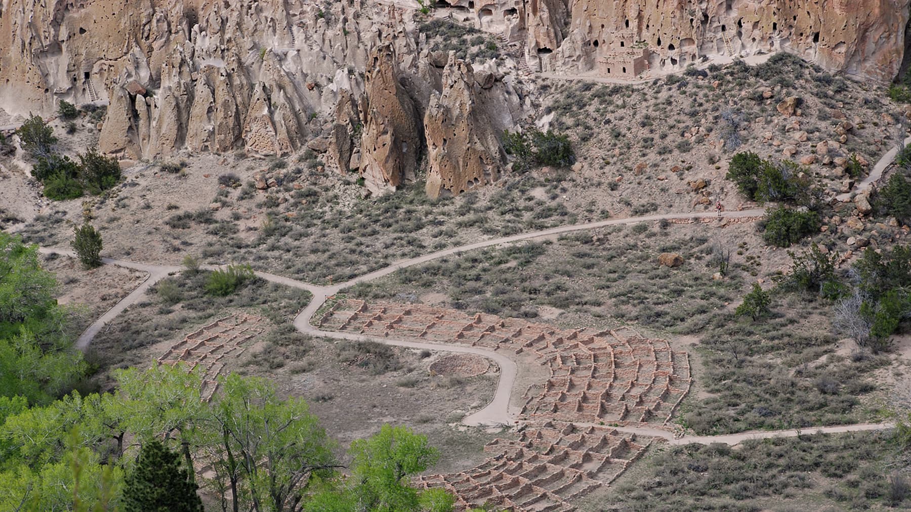
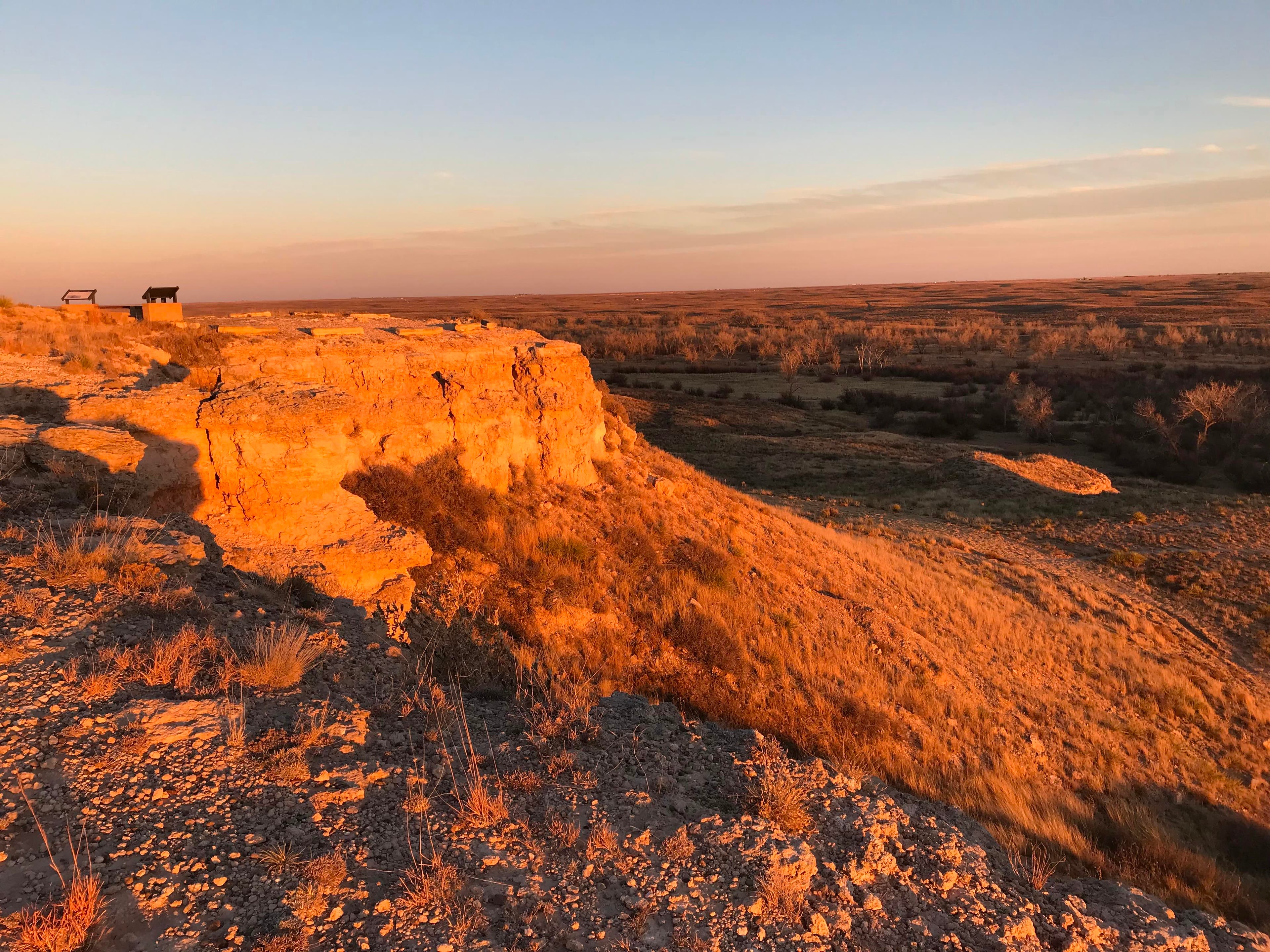
13,000 years ago, Alibates Flint was used by mammoth hunters as a source of flint for tools. Learn how important this site was to the survival, commerce, and culture of the people of the High Plains.
Activities
No entrance fee.
Hours & seasons
Alibates Visitor Center has museum exhibits, theater, bookstore, and a 7 themed garden with a Monarch Waystation and other native plants. The Alibates Flint Quarries are accessible by guided tour only. Please call for reservations. There is a short self-guided walking trail with an accompanying brochure that lets you see the Canadian River Valley.
Generally open:
winterspringsummerfallHours are reported by the park — verify before you go.
📞 806-886-3826
✉ lamr_interpretation@nps.govConditions
Quietest months (fewer crowds): Jan, Feb, Oct, Dec
Typical crowds: low
Weather now: ☀️ Clear, 85°F
☁️ 90°/64°
☁️ 77°/66°
☁️ 83°/62°
Typical monthly recreation visits · NPS avg 2023–2025 — orange months are the quietest by crowds.
Quietest months
Relative crowds by month — lighter is quieter; ringed months are the calmest by crowds.
Jan
25%
Feb
23%
Mar
59%
Apr
87%
May
100%
Jun
83%
Jul
81%
Aug
36%
Sep
49%
Oct
32%
Nov
39%
Dec
23%
Log a sky reading
Measured the sky with an SQM meter or app? Add your reading (16 = city glow … 22 = pristine). Opt in under “Travelers like you” to share it on the community leaderboard.
Visitor centers
Alibates Visitor Center
Accessibility
7 audio-described place(s)
Reported by the park — verify before you go.
Not an official safety source — always defer to NPS.gov and rangers for life-safety decisions.
By the numbers
A visual read on Alibates Flint Quarries National Monument — its character, trails, sky, and weather.
Park fingerprint
How this park scores across the dimensions travelers care about.
3-day forecast
Daily high and low temperatures (°F).
Passport stamps
Mark the stamps you've collected — they show in your memory and along your routes.
🎫 Alibates Visitor Center
Places to see
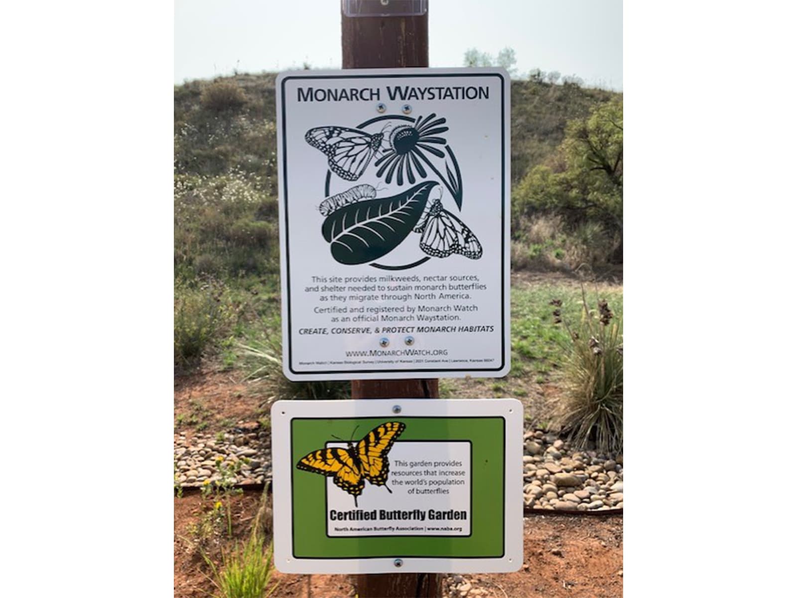
Alibates Butterfly Garden
audio
Alibates Flint Quarries Bookstore
audio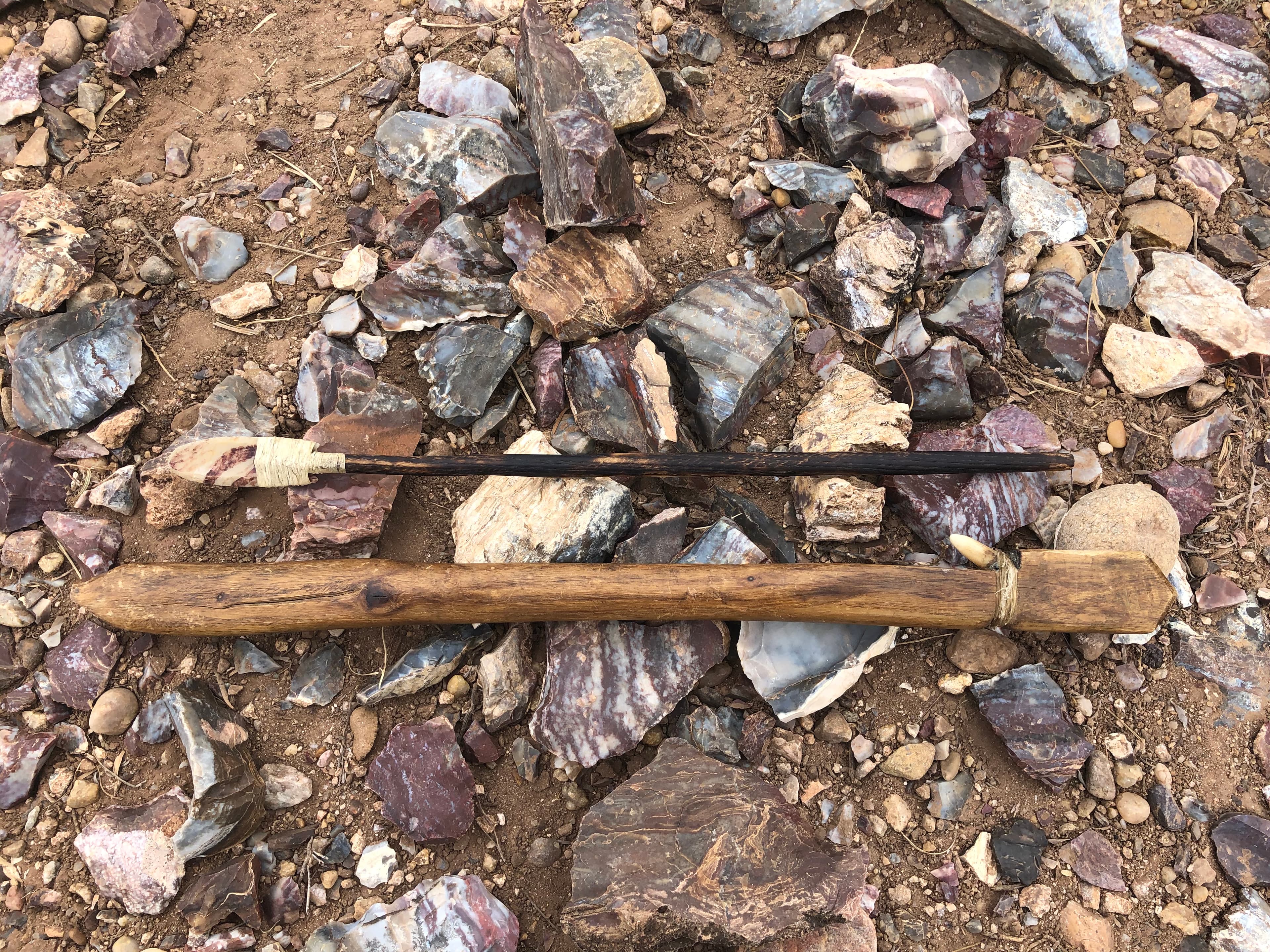
Alibates Flint Quarries Guided Tour
audio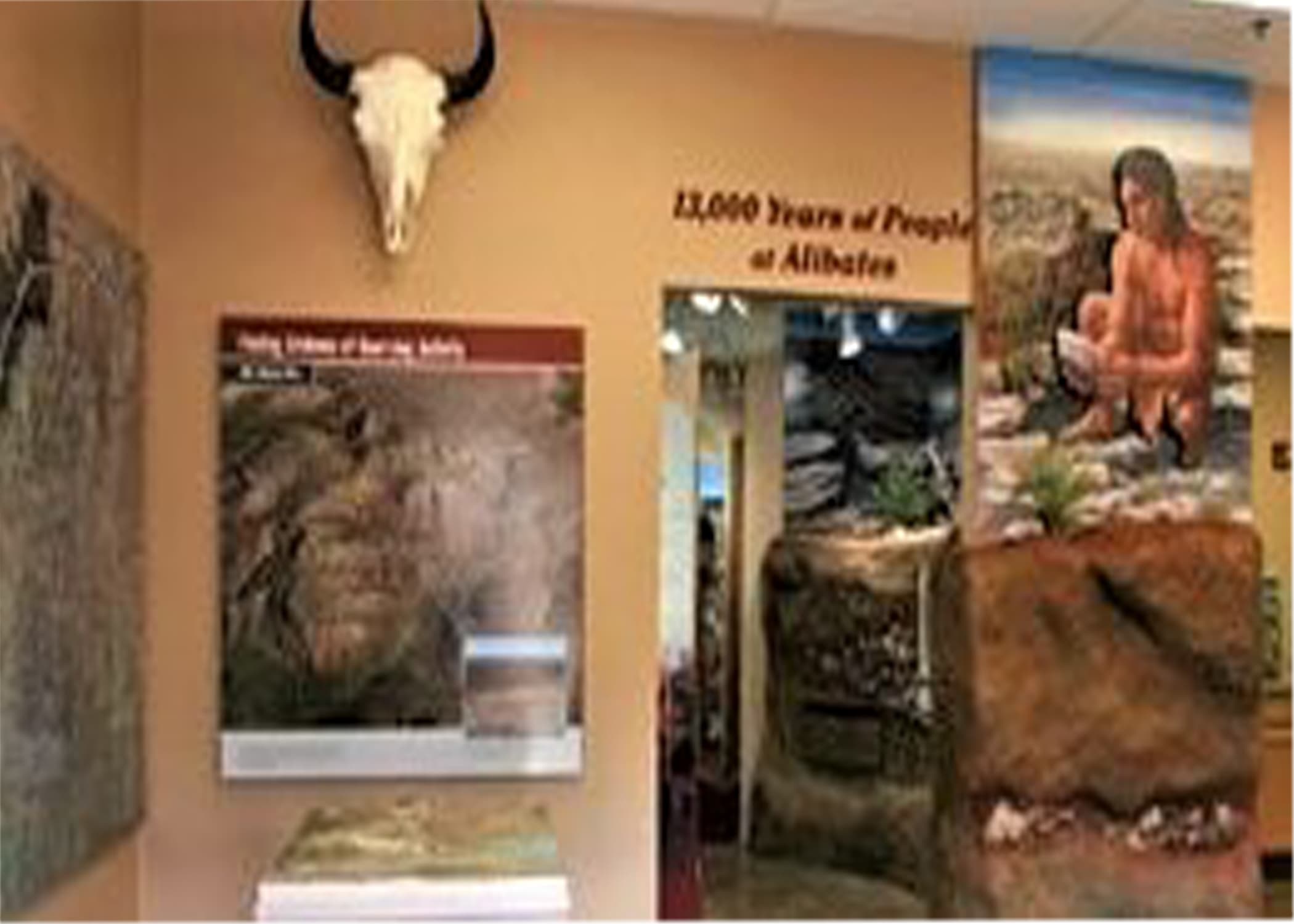
Alibates Flint Quarries Visitor Center Museum
audio
Fishing
audio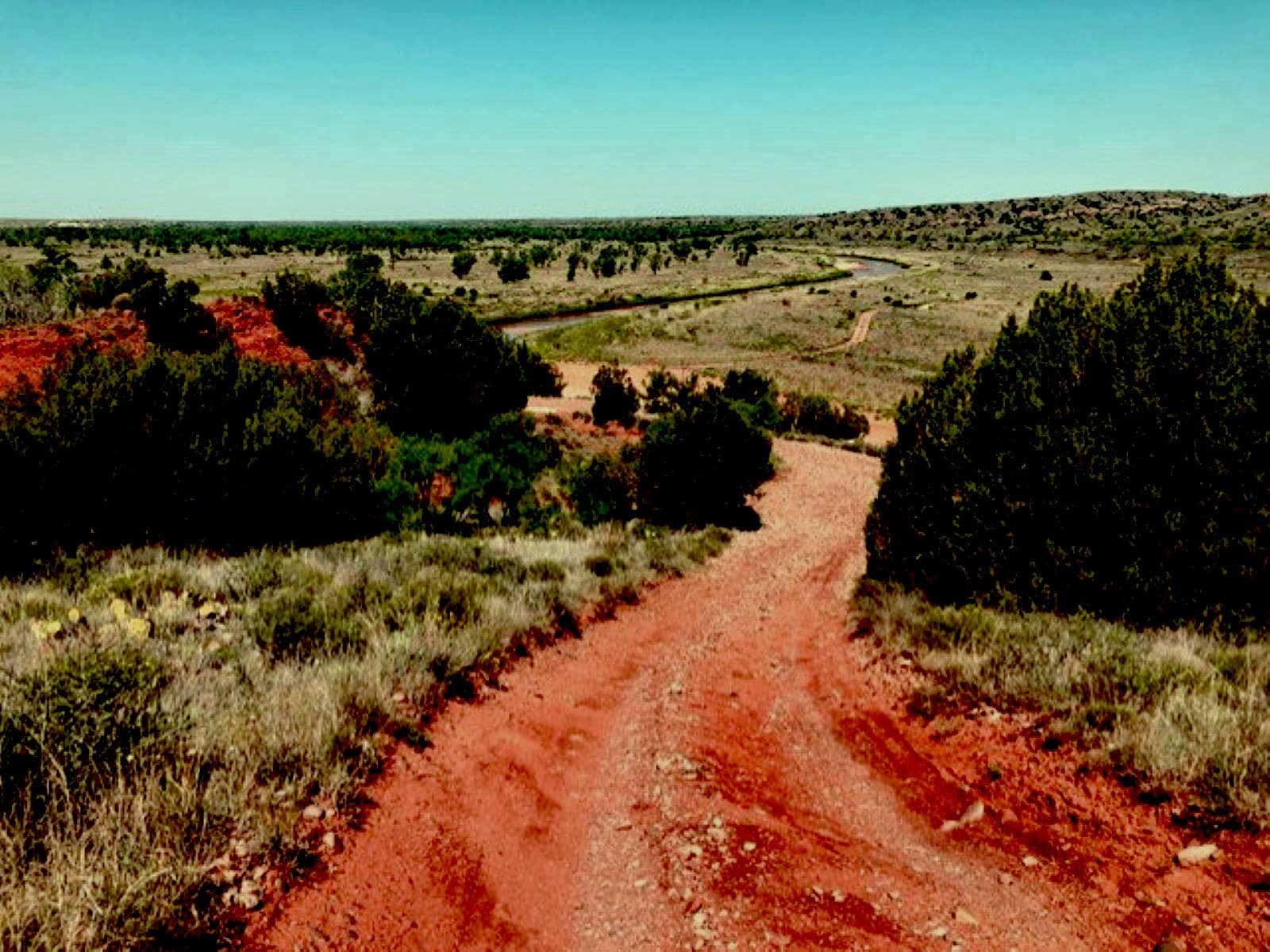
Off-Road Adventures
audio
Park Bookstore
audioAudio & media
🎧
🎬
🖼
Learn more
Across the US, changes in water availability are altering which plants grow where. These changes are evident at a broad scale. But not all areas experience the same climate in the same way, even within the boundaries of a single national park. A new dataset gives park managers a valuable tool for understanding why vegetation has changed and how it might change in the future under different climate-change scenarios.
Climate change may have direct and/or indirect effects on many elements of Southern Plains network ecosystems, from streams and grasslands to fires and birds.
Climate is one of many ecological indicators monitored by the National Park Service (NPS) Division of Inventory & Monitoring (I&M). Climate data help scientists to understand ecosystem processes and help to explain many of the patterns and trends observed in other natural-resource monitoring. In NPS units of the American Southwest, three I&M networks monitor climate using the scientific protocol described here.
Route 66 and the National Park Service have always had an important historical connection. Route 66 was known as the great road west and after World War II families on vacation took to the road in great numbers to visit the many National Park Service sites in the Southwest and beyond. That connection remains very alive and present today. Take a trip down Route 66 and Find Your Park today!
Finding aid for the Thomas J. Allen Photographs in the NPS History Collection.
Across the Intermountain Region, Inventory & Monitoring Division ecologists are helping to track the effects of climate change, provide baseline information for resource management, evaluate new technologies, and inspire the next generation of park stewards. This article highlights accomplishments achieved during fiscal year 2021.
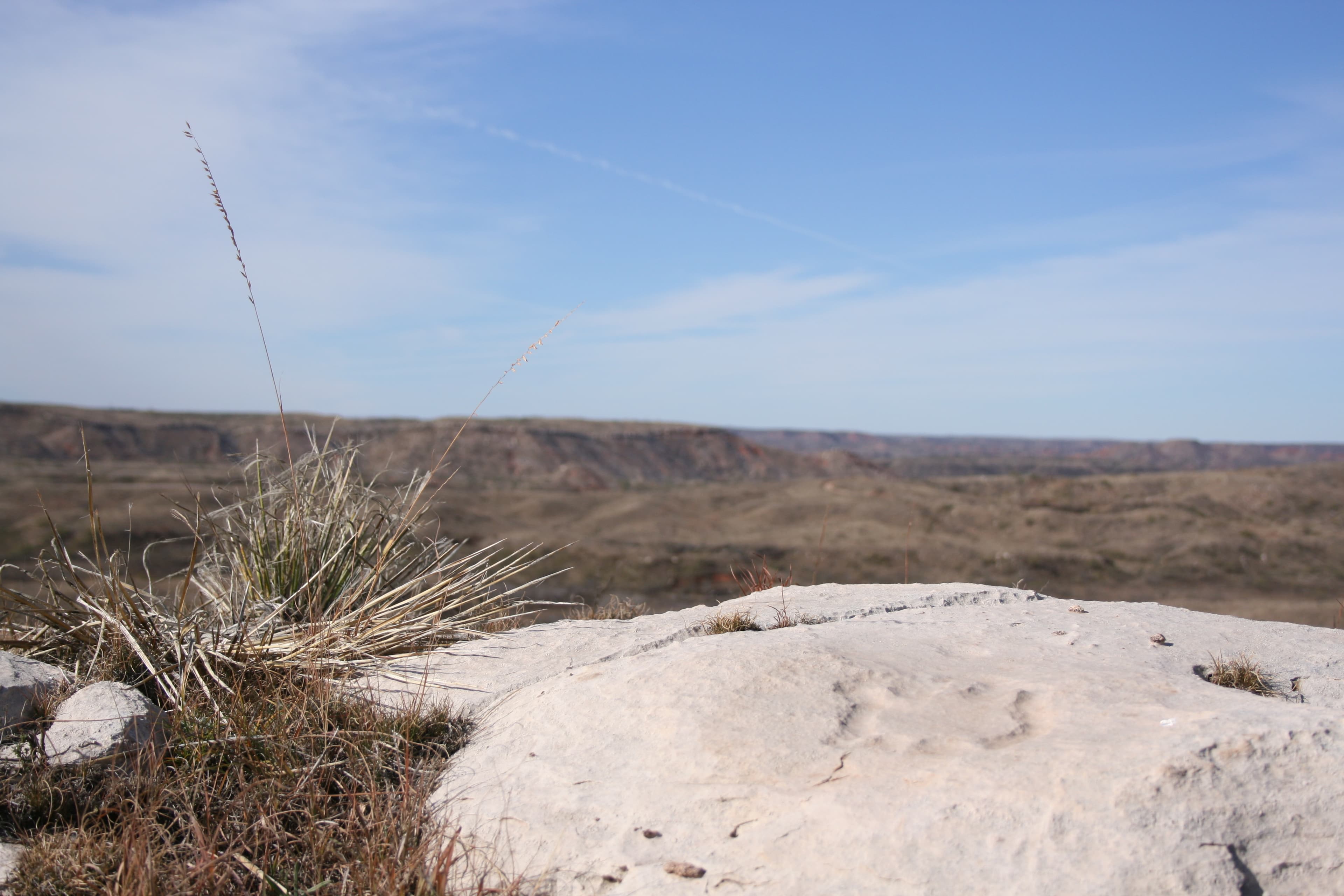
Alibates flint deposits were used by indigenous peoples of the Texas Panhandle for thousands of years. The flint deposits are within the Alibates Dolomite, a marine unit within the Permian red beds of the Texas panhandle. Links to products from Baseline Geologic and Soil Resources Inventories provide access to maps and reports.
During the Paleozoic Era (541 to 252 million years ago), fish diversified and marine organisms were very abundant. In North America, the Paleozoic is characterized by multiple advances and retreats of shallow seas and repeated continental collisions that formed the Appalachian Mountains. Common Paleozoic fossils include trilobites and cephalopods such as squid, as well as insects and ferns. The greatest mass extinction in Earth's history ended this era.
How Alibates Flint Quarries National Monument connects
This park's activities, topics, location, and on-the-ground places — one hop in the graph. Drag to explore; click an activity, topic, or related park to follow it.
Park
Activity
Topic
State
VisitorCenter
PassportStamp
Trail
Alert
Similar parks
Share activities & topics with Alibates Flint Quarries National Monument.