Petroglyph National Monument
New Mexico
Tonight
🌓 65% moon
9 h fully dark
Crowds
low
Open today
Open
Boca Negra Canyon: closed Dec 25 – Dec 25; Boca Negra Canyon: closed Jan 1 – Jan 1; Rinconada Canyon: closed Dec 25 – Dec 25; Rinconada Canyon: closed Jan 1 – Jan 1
Entrance
Free entry
Be City Smart: Take precautions to secure your vehicle and valuables.
This is an urban park. Don't hide valuables inside your car. Carry items with you on hike. Lock your vehicle and set car alarm. Report suspicious persons loitering/peeking in cars. Call 928-638-7805
Attention Visitors, Cab drivers, Uber drivers, and transportation service drivers
DO NOT drop off your passengers at the visitor center. No trail access. Visitors must be driven to a trail system from the visitor center. If passengers want to go to the visitor center, WAIT FOR THEM in the parking lot until they come back out.
Official NPS alert →Bicycle Use In The Monument
Bicycles are ONLY allowed at the following locations: 1 - On the Boca Negra Canyon paved multiuse path; bicycles must remain on the paved bike path. 2 - On the crusher fine trail that winds in and out of the park around the mesa top above Boca Negra.
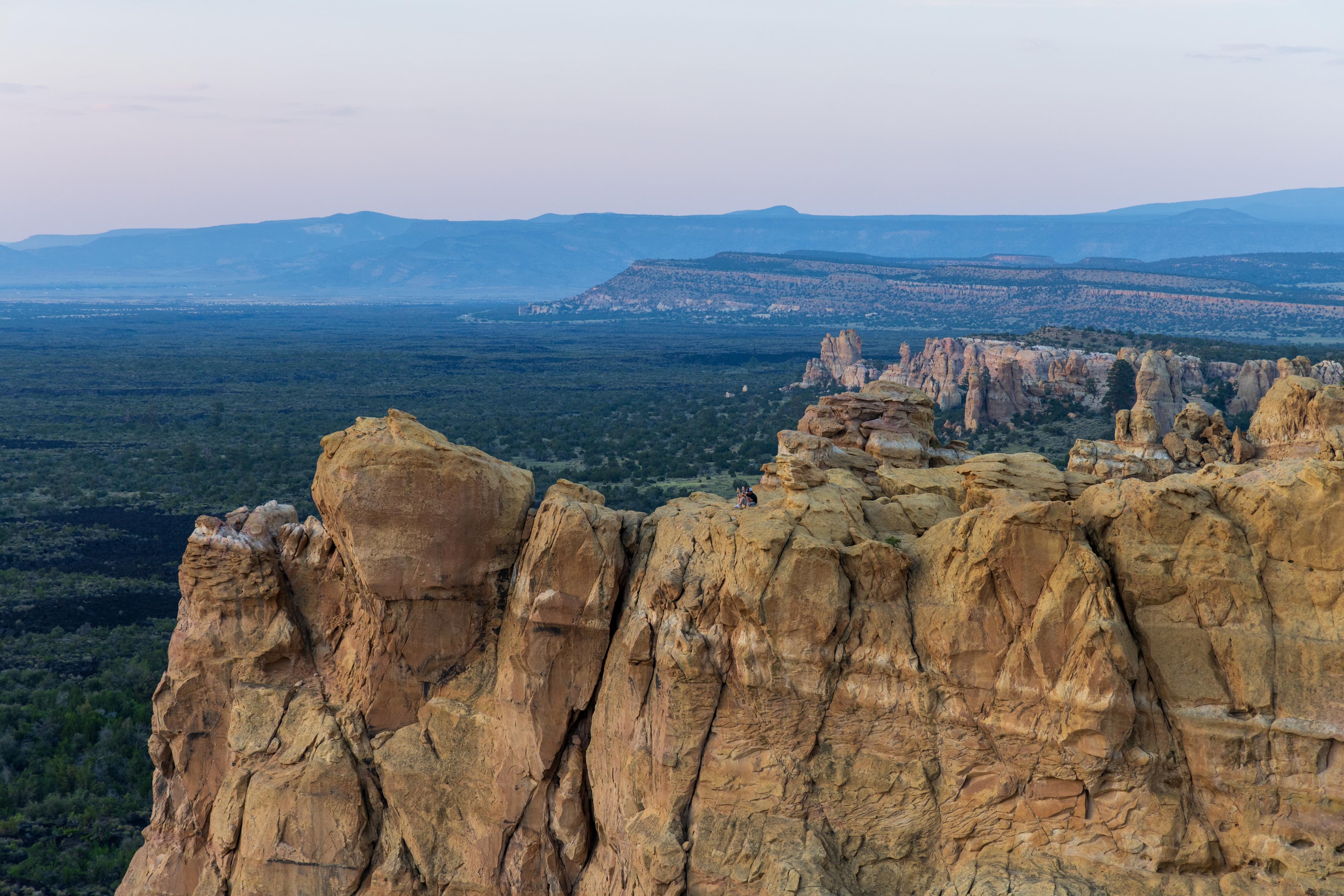
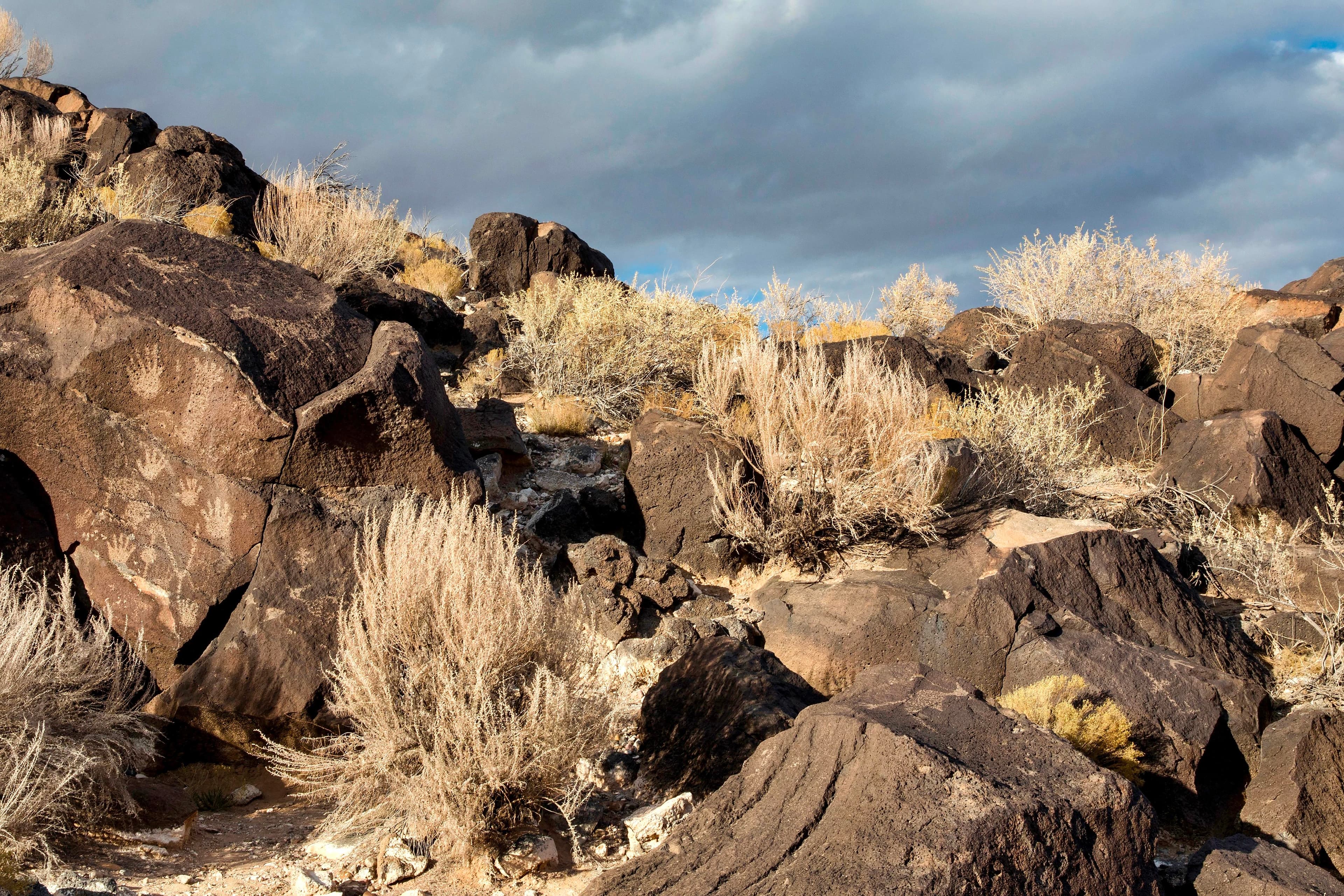
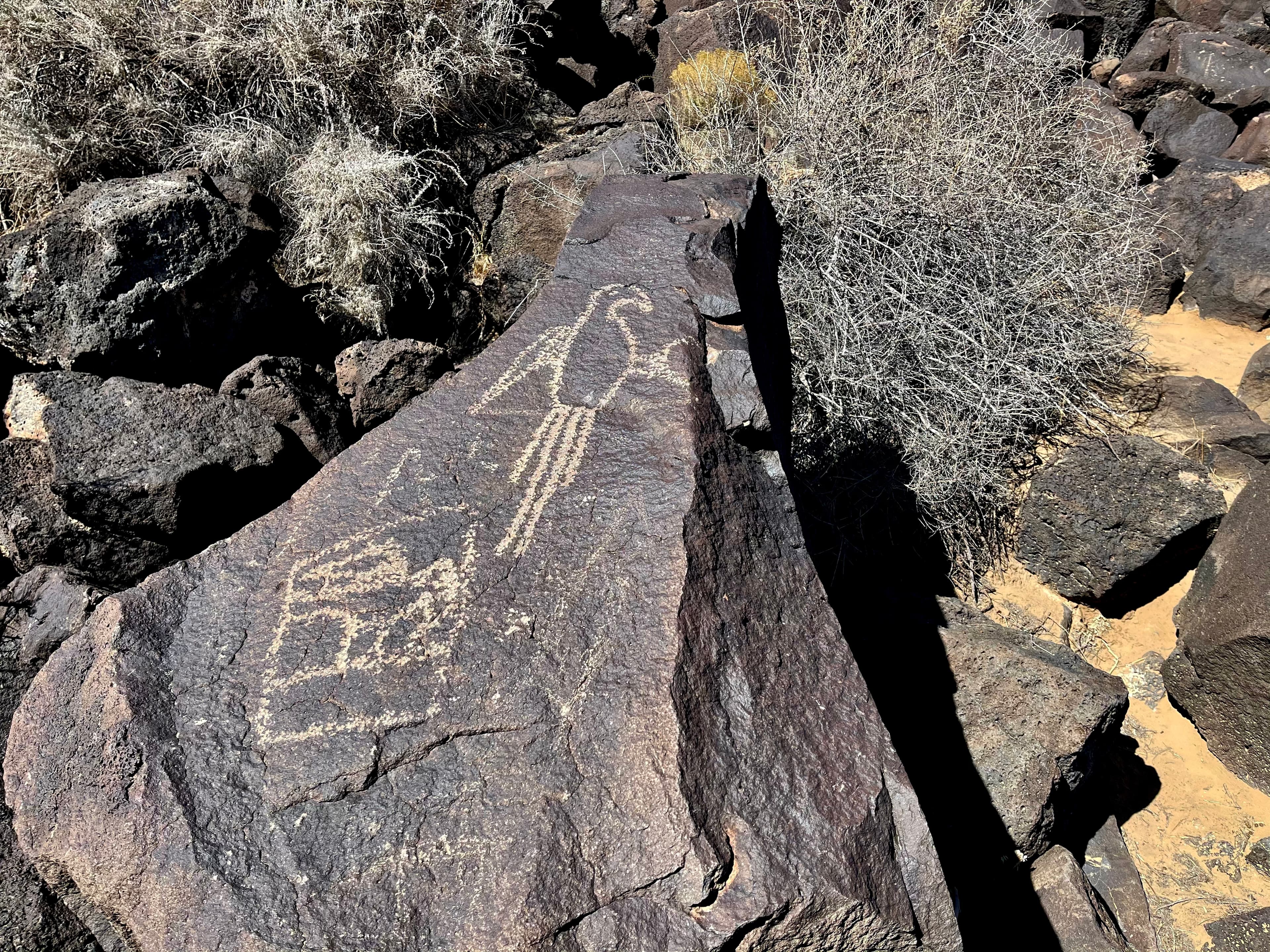
Petroglyph National Monument protects one of the largest petroglyph sites in North America, featuring designs and symbols carved onto volcanic rocks by Native Americans and Spanish settlers 400 to 700 years ago. These images are a valuable record of cultural expression and hold profound spiritual significance for contemporary Native Americans and for the descendants of the early Spanish settlers.
Activities
No entrance fee.
Hours & seasons
Staffed by our partner, the City of Albuquerque Open Space, this developed trail system consists of 3 short, paved trails with trail markers. Full-service restroom facility, picnic tables, shaded seating areas and a shaded patio area. See up to 100 petroglyphs in one hour if you walk all 3 trails. Last entry is at 4:00 pm daily and all visitors are swept out at 4:30 pm sharp. Pets not allowed on the petroglyph viewing trails. Trails are not accessible for wheelchairs or strollers.
⚠ Boca Negra Canyon: closed Dec 25 – Dec 25; Boca Negra Canyon: closed Jan 1 – Jan 1; Rinconada Canyon: closed Dec 25 – Dec 25; Rinconada Canyon: closed Jan 1 – Jan 1
Generally open:
winterspringsummerfallHours are reported by the park — verify before you go.
📞 5058990205
✉ petr_interpretation@nps.govConditions
Typical crowds: low
Weather now: ⛅ Partly cloudy, 81°F
☁️ 82°/54°
☁️ 85°/58°
🌦️ 79°/61°
Typical monthly recreation visits · NPS avg 2023–2025 — orange months are the quietest by crowds.
Quietest months
Relative crowds by month — lighter is quieter; ringed months are the calmest by crowds.
Jan
65%
Feb
71%
Mar
97%
Apr
91%
May
84%
Jun
73%
Jul
61%
Aug
54%
Sep
63%
Oct
100%
Nov
68%
Dec
74%
Log a sky reading
Measured the sky with an SQM meter or app? Add your reading (16 = city glow … 22 = pristine). Opt in under “Travelers like you” to share it on the community leaderboard.
Things to do
Picnicking at Petroglyph National Monument
Boca Negra Canyon · Mesa Point Trail: 30 minutes<br /> <br /> Macaw Trail: 5 minutes<br /> <br /> Cliff Base Trail: 15 minutes
Piedras Marcadas Canyon · 1.5 mi · This trail is 1.5 miles long and will take 1-2 hours to complete.
WNPA Park Store
Junior and Senior Ranger Programs
Volcanoes Day Use Area · 2 mi · <strong>Volcanoes Trail</strong><br /> <em>Distance</em>: About 3 1/2 miles round trip.<br /> <br /> <strong>JA Volcano and the Albuquerque Overlook</strong><br /> <em>Distance</em>: 1 mile round trip.<br /> <br /> <strong>Vulcan Volcano Loop</strong><br /> <em>Distance</em>: 2 miles<br /> <br /> <br />
Rinconada Canyon · 1.1 mi · The Rinconada Canyon trail follows the northern escarpment, allowing the hiker views of a variety of petroglyphs. The trail is 1.1 miles long to the back of the canyon (2.2 miles roundtrip) and is moderately strenuous. Hiking times average 1.5-2 hours.<br /> <br />
Visitor centers
Petroglyph Information Center
Accessibility
10 audio-described place(s)
Reported by the park — verify before you go.
Not an official safety source — always defer to NPS.gov and rangers for life-safety decisions.
By the numbers
A visual read on Petroglyph National Monument — its character, trails, sky, and weather.
Park fingerprint
How this park scores across the dimensions travelers care about.
Trail difficulty
Difficulty mix across this park's trails.
3-day forecast
Daily high and low temperatures (°F).
Passport stamps
Mark the stamps you've collected — they show in your memory and along your routes.
🎫 Petroglyph Information Center
Places to see
Boca Negra
audio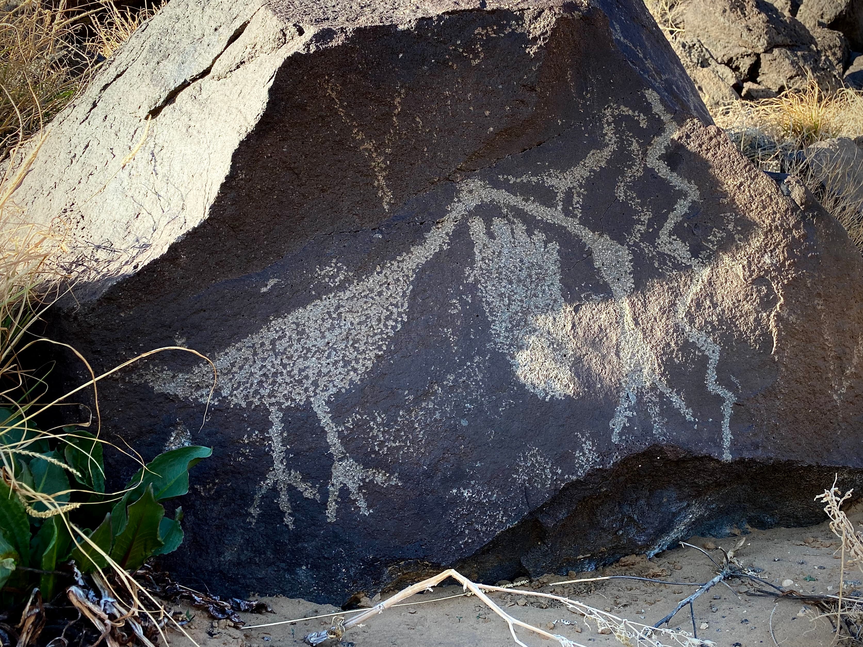
Piedras Marcadas Canyon
audio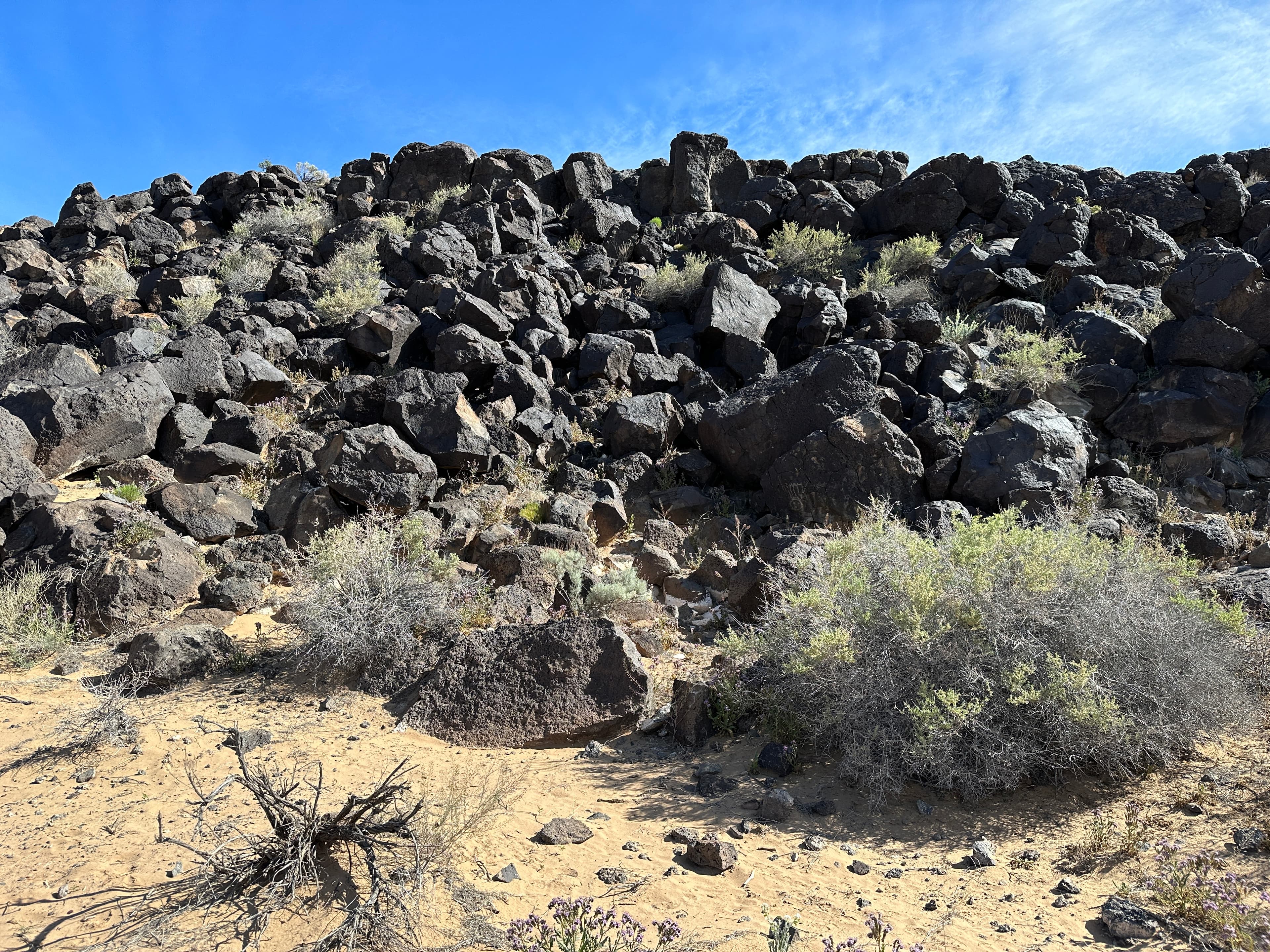
Piedras Marcadas Canyon Petroglyph Viewing Trail Stop 1
audio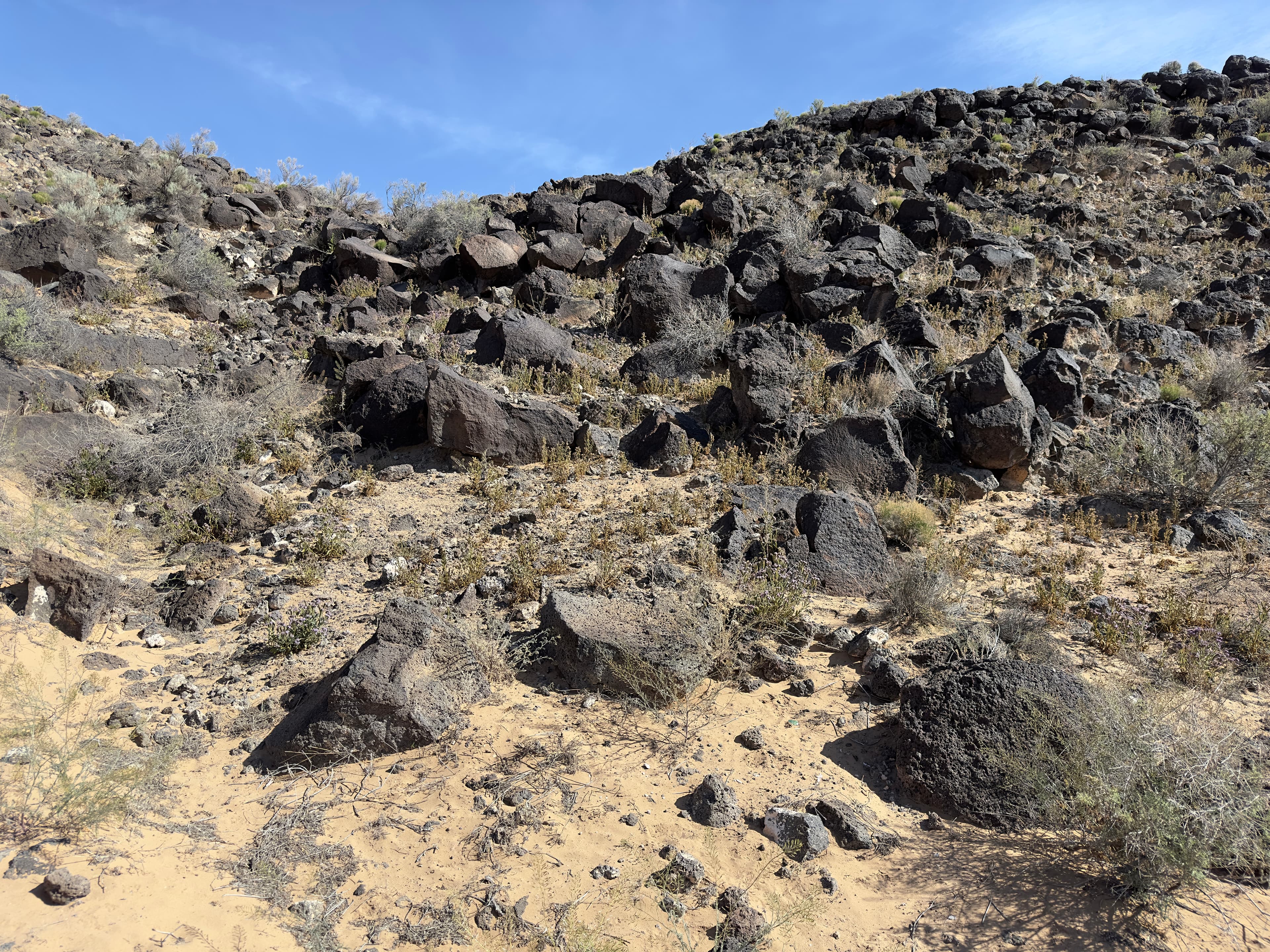
Piedras Marcadas Canyon Petroglyph Viewing Trail Stop 2
audio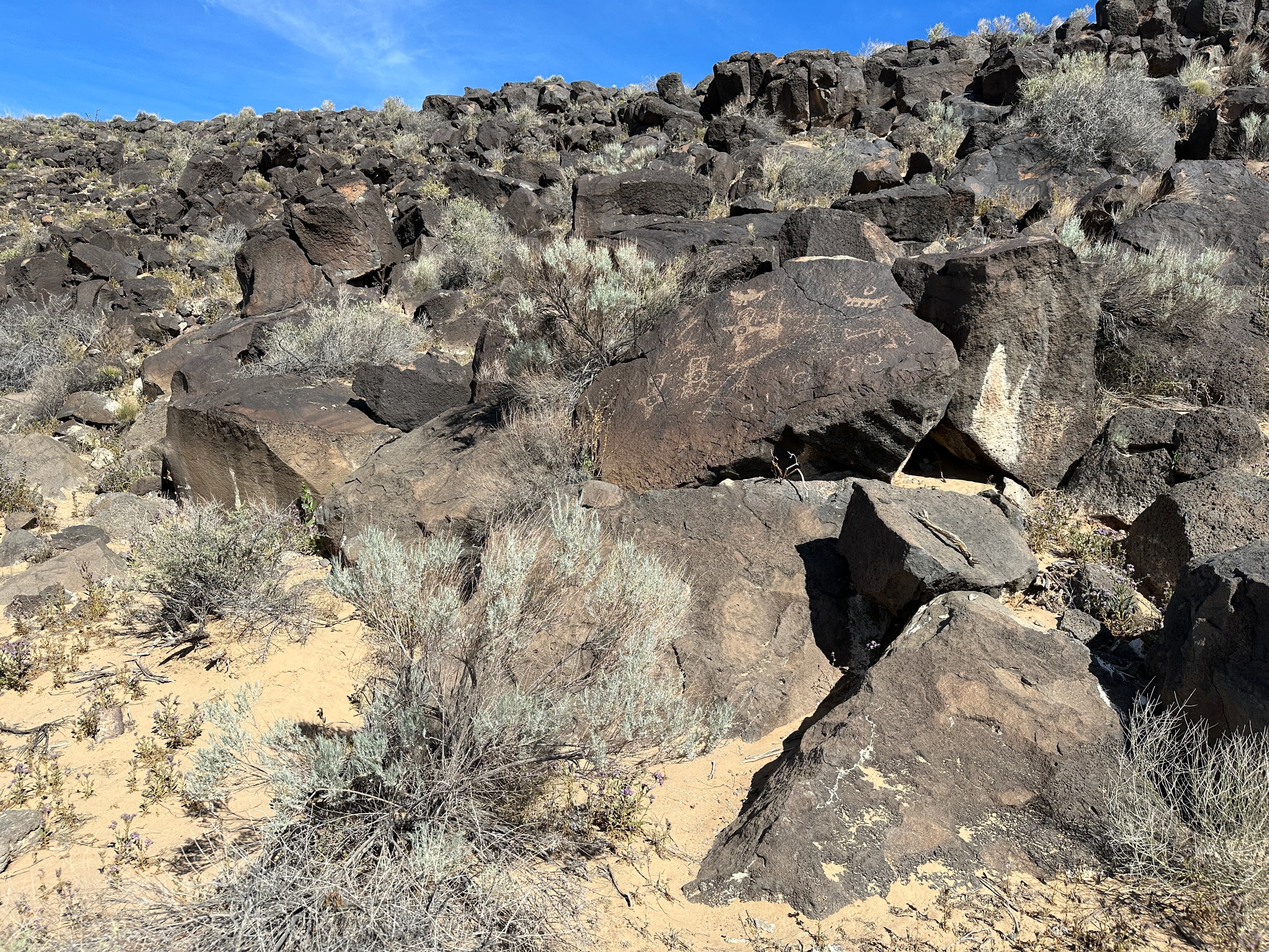
Piedras Marcadas Canyon Petroglyph Viewing Trail Stop 3
audio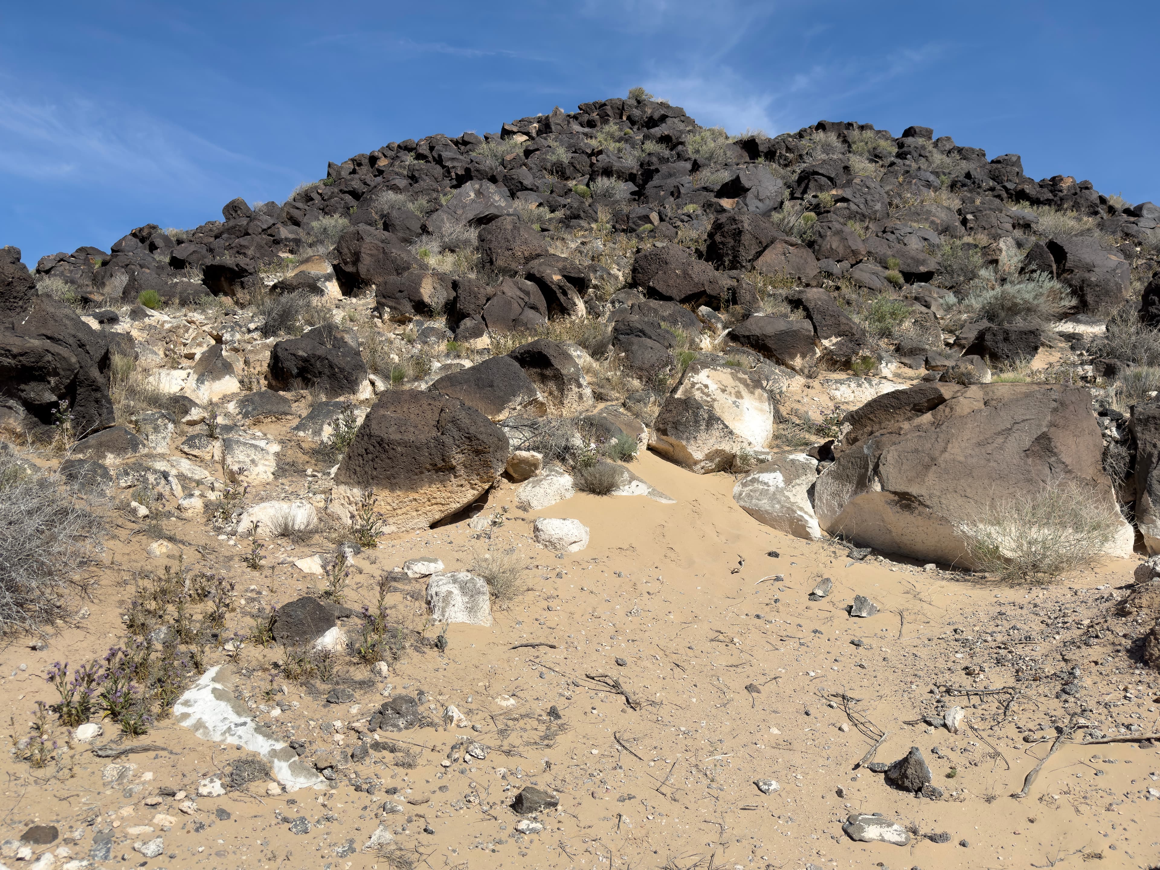
Piedras Marcadas Canyon Petroglyph Viewing Trail Stop 4
audio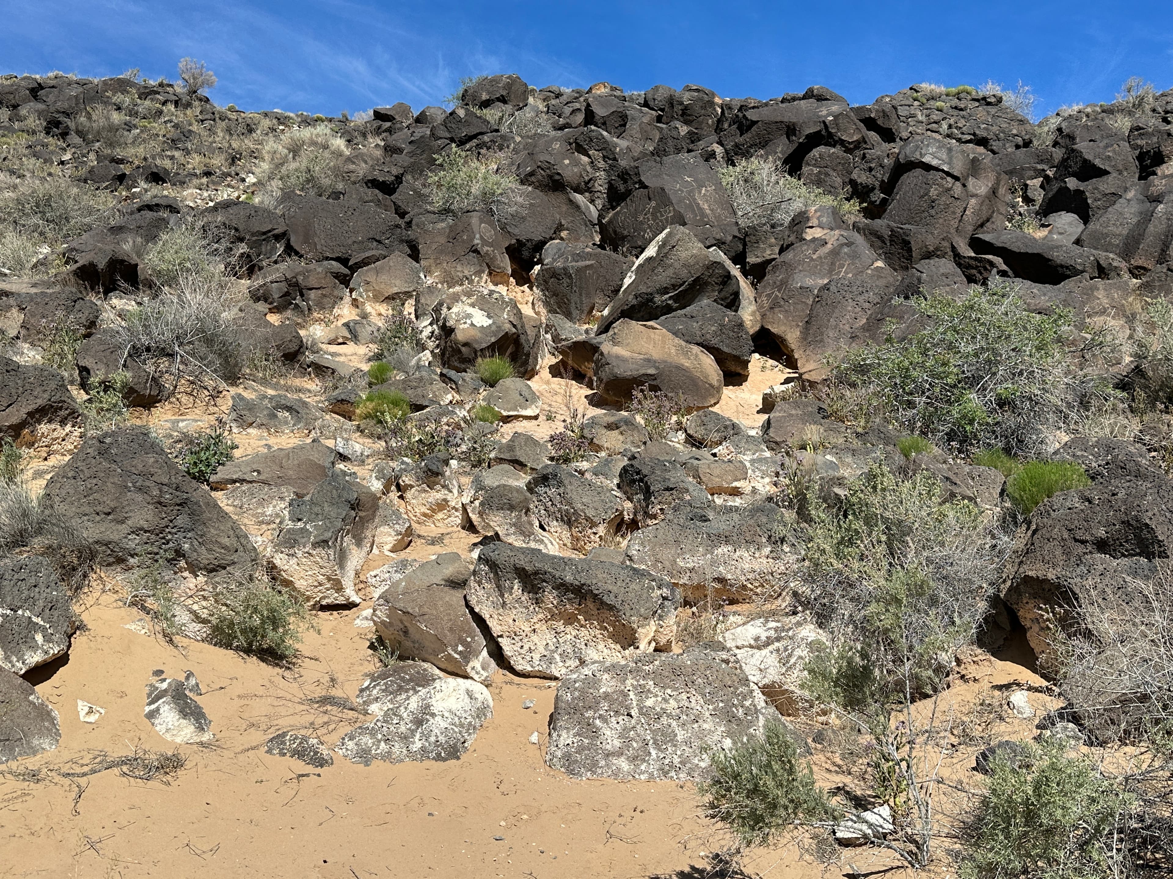
Piedras Marcadas Canyon Petroglyph Viewing Trail Stop 5
audio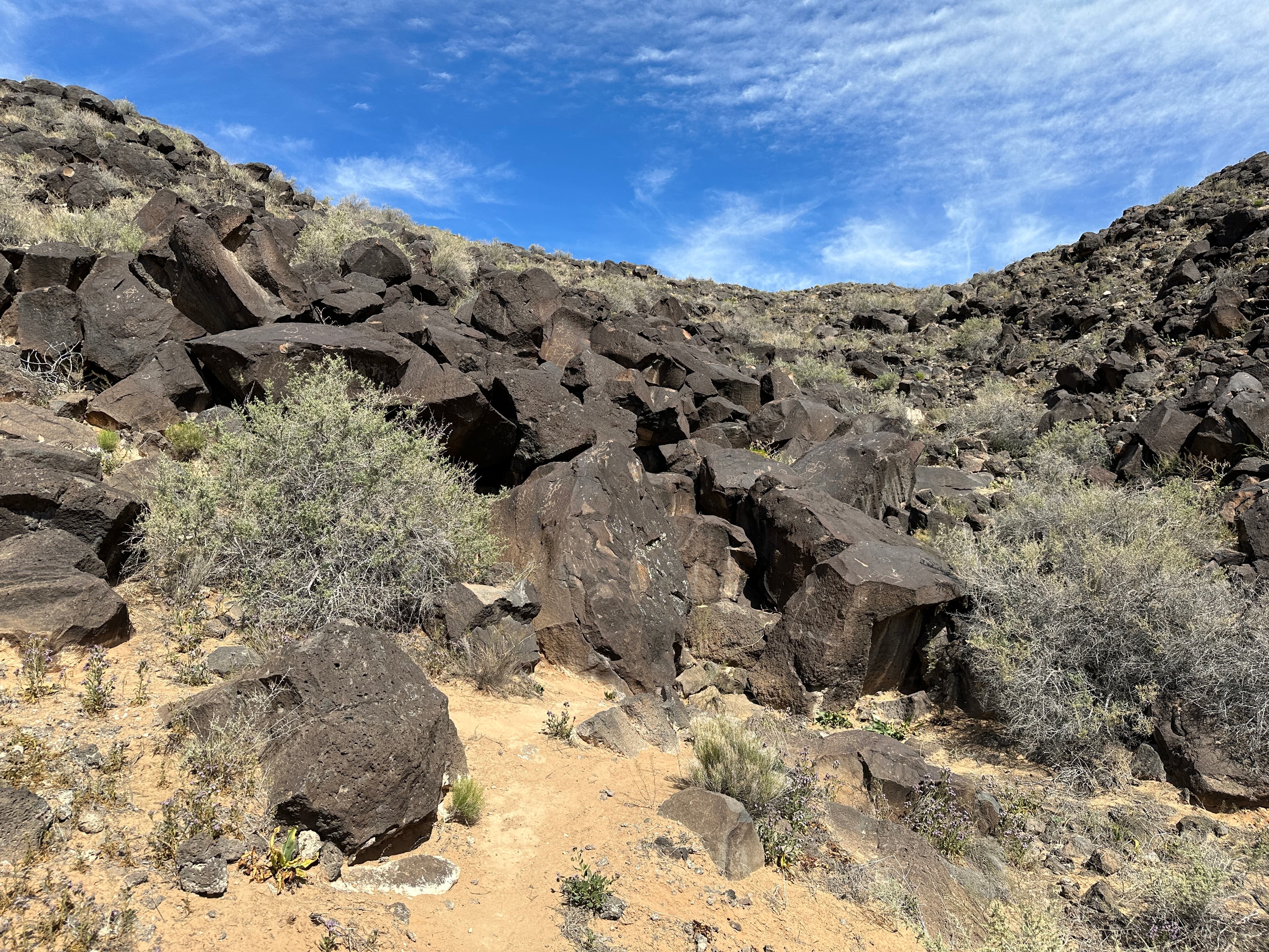
Piedras Marcadas Canyon Petroglyph Viewing Trail Stop 6
audio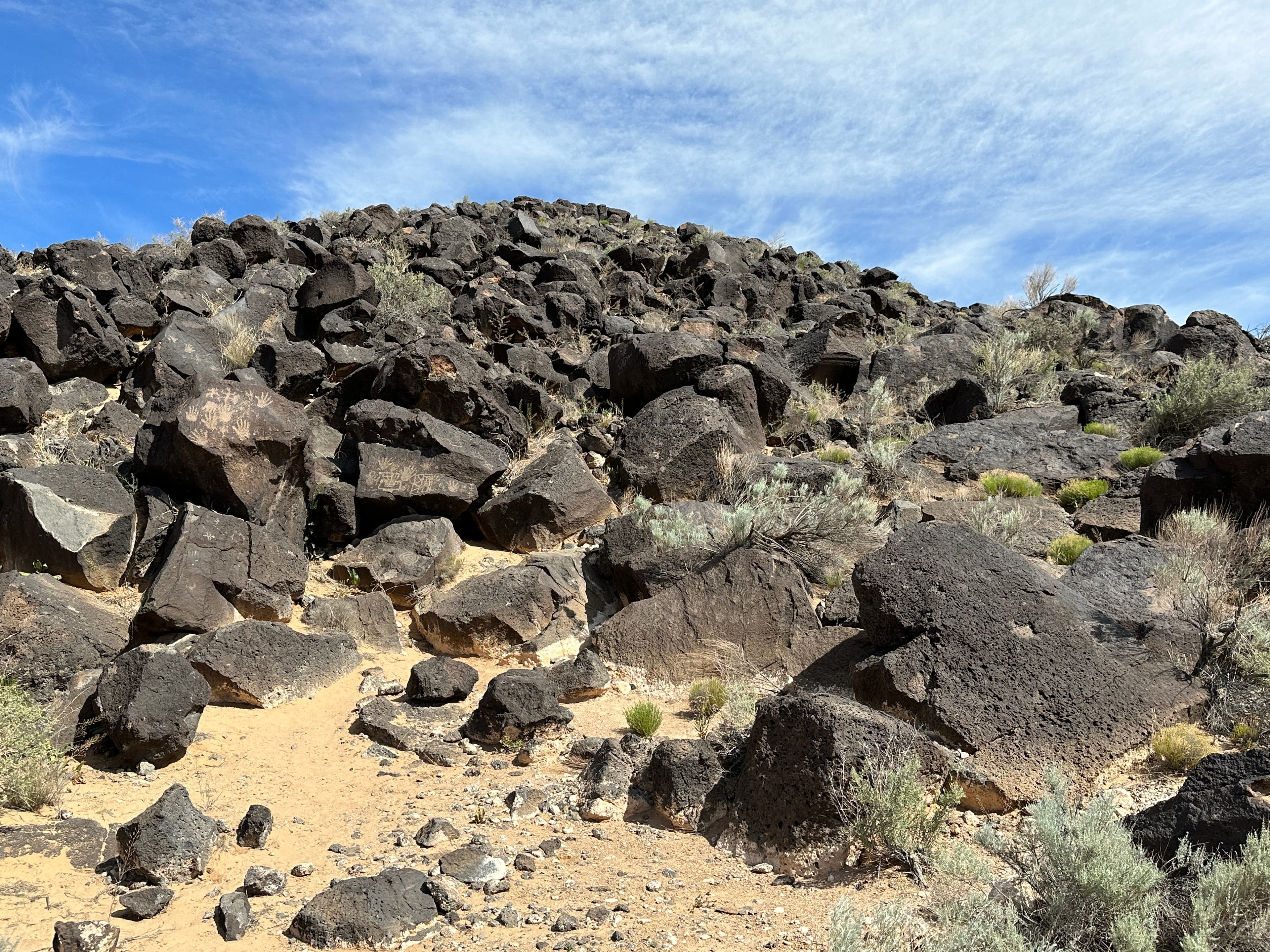
Piedras Marcadas Canyon Petroglyph Viewing Trail Stop 7
audio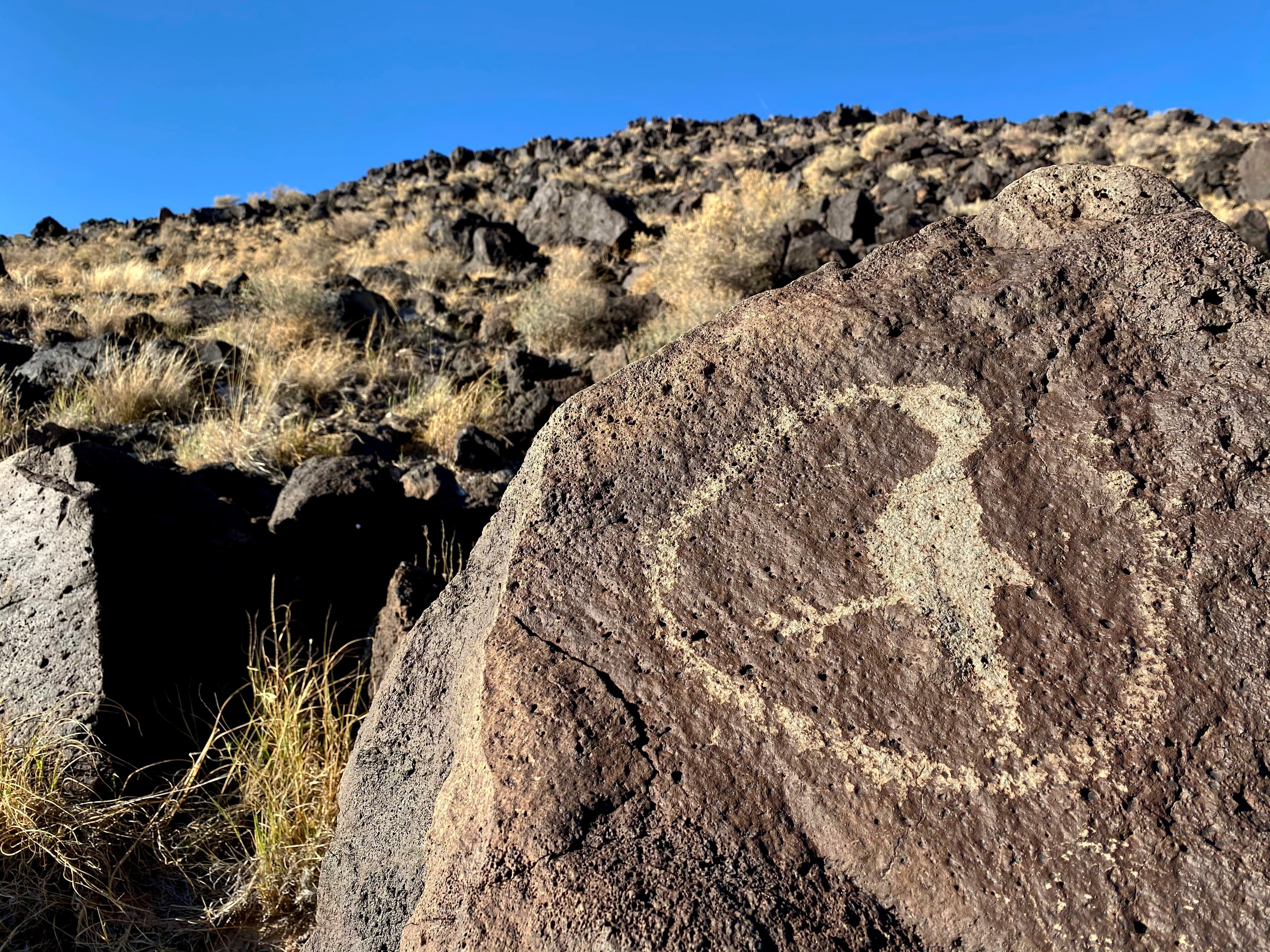
Rinconada Canyon
audio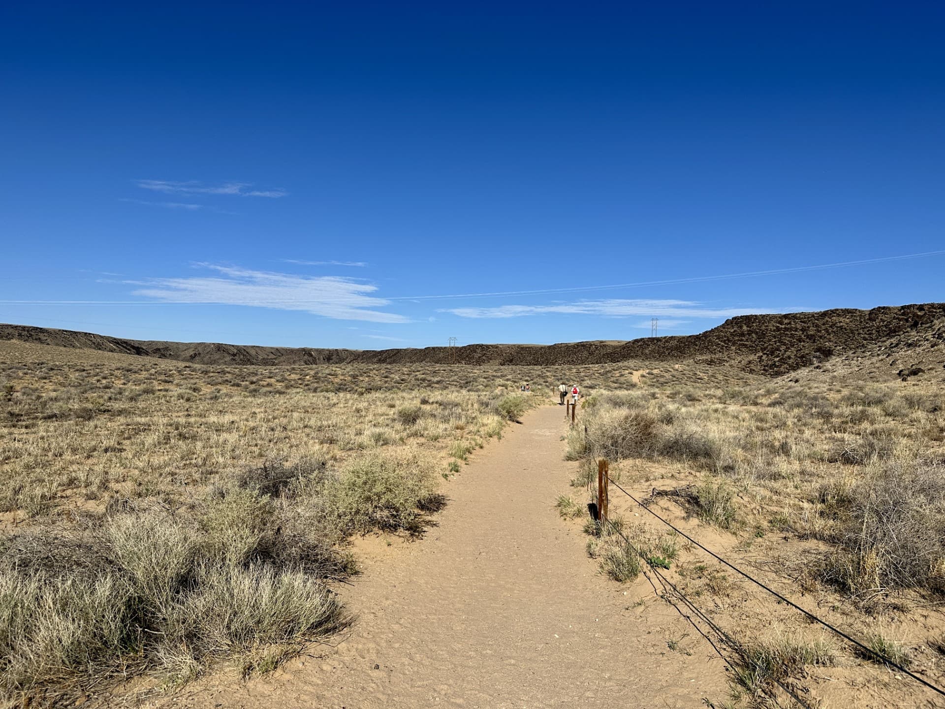
Rinconada Canyon Stop 1
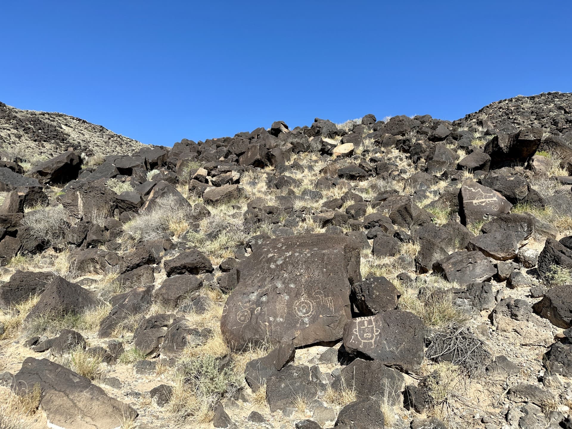
Rinconada Canyon Stop 10
Audio & media
🎧
🎬
🖼
Learn more
When the climate changes enough, the vegetation communities growing in any given place will also change. Under an expanded bimodal climate zone, some plant communities in western national parks are more likely to change than others. National Park Service ecologists and partners investigated the future conditions that may force some of this change. Having this information can help park managers decide whether to resist, direct, or accept the change.
Managing problematic social trails and formalizing trail networks requires careful consideration. As part of this management need, the Southern Colorado Plateau Network conducted a breeding bird inventory at Petroglyph National Monument, especially along a unique rocky escarpment which may represent important raptor breeding habitat.
Across the US, changes in water availability are altering which plants grow where. These changes are evident at a broad scale. But not all areas experience the same climate in the same way, even within the boundaries of a single national park. A new dataset gives park managers a valuable tool for understanding why vegetation has changed and how it might change in the future under different climate-change scenarios.
Cinder cones are typically simple volcanoes that consist of accumulations of ash and cinders around a vent. Sunset Crater Volcano and Capulin Volcano are cinder cones.
The combination of high. elevation and a semi-arid climate makes the Colorado Plateau particularly vulnerable to climate change. Climate models predict that over the next 100 years, the Southwest will become warmer and even more arid, with more extreme droughts than the region has experienced in the recent past.
The data packages for all our long-term monitoring efforts across the Southern Colorado Plateau are the foundations for almost everything we do here. We recently underwent our biggest effort yet in reformatting our data to fit the new standards put out by the Inventory & Monitoring Division. We are proud to announce that two of our largest datasets have now been published and are available for everyone to utilize.
Ever wondered what those dark lines were on the rock walls of canyon country? These black, brown, and red streaks are called desert varnish.
Petroglyph National Monument (PETR), encompassing 7,212 acres, is situated on the edge of Albuquerque, New Mexico. As surrounding land is rapidly developed, there has been an increase in visitor traffic that potentially strains natural resources, including bat populations. To better understand bat presence, SCPN partners at the Conservation Management Institute conducted inventories at ten locations throughout the park, resulting in the detection of 21 different species.
Ranger School
Park-grounded courses you can learn with the Ranger.
How the Early Railroads Changed New Mexico
Open →
Natural vs. Man-Made resources: The Arrival of the Spanish Settlers
Open →
The Power of Tools
Open →
What It Takes to Survive: Then and Now
Open →
How Petroglyph National Monument connects
This park's activities, topics, location, and on-the-ground places — one hop in the graph. Drag to explore; click an activity, topic, or related park to follow it.
Park
Activity
Topic
State
VisitorCenter
PassportStamp
Trail
ThingToDo
Alert
Similar parks
Share activities & topics with Petroglyph National Monument.