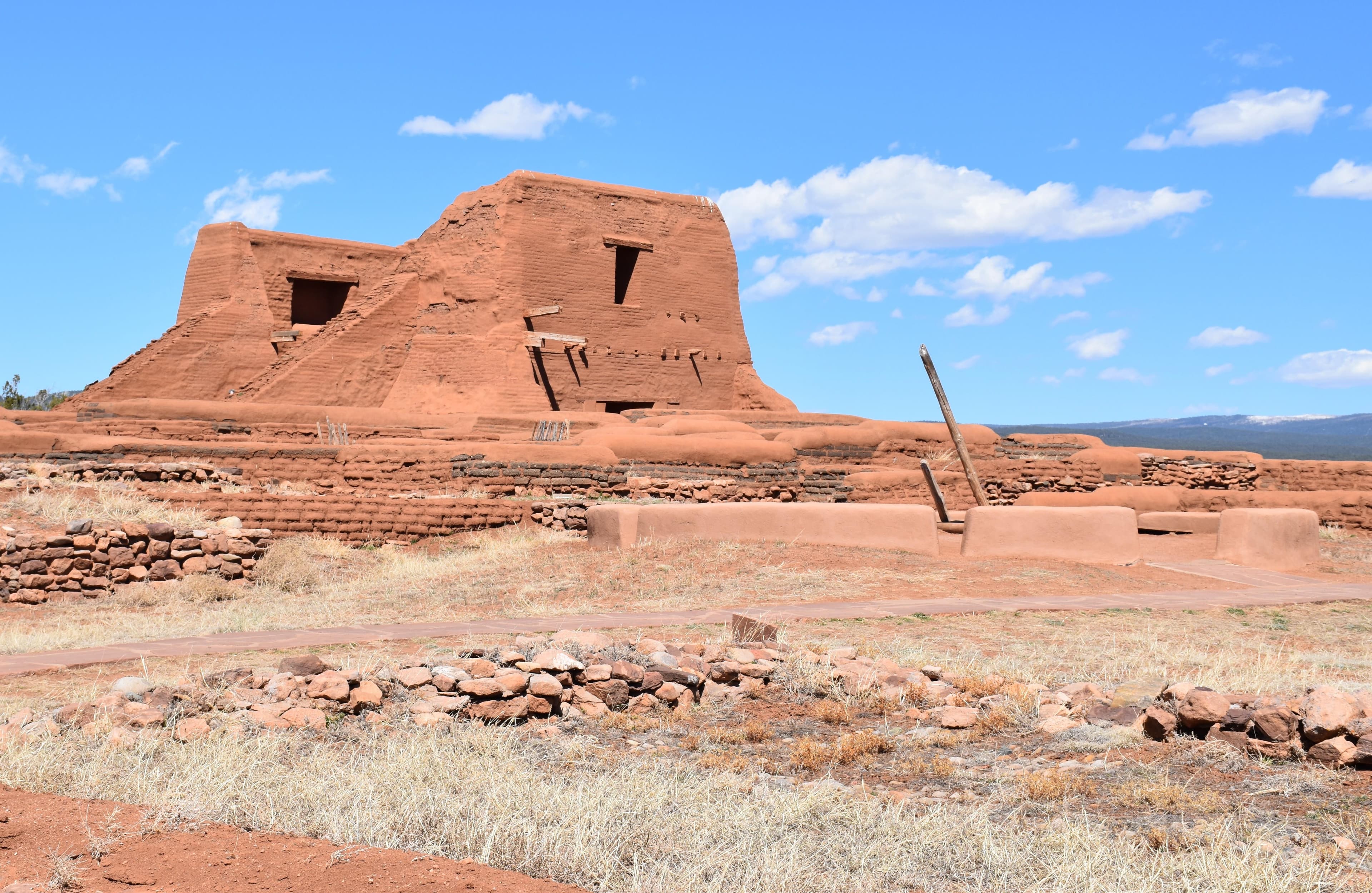
Pecos National Historical Park
New Mexico
Tonight
🌔 74% moon
9 h fully dark
Crowds
low
Open today
Open
Entrance
Free entry
Visitor Center Parking Lot Paving and Repair - Late June and Early July
Repaving and repair of the visitor center parking lot will take place in late June and early July, weather permitting. Visitors traveling to the park during this time can expect impacts and delays. The park expects the project to go through July 8 - check back for updates.
Ride Share Services - pickup limited
Taxi and ride-share services are often not available in Pecos. Even if services like Uber and Lyft will bring you here, it can be very difficult to secure a ride out. Please ensure you have a departure plan in place before being dropped off at Pecos.
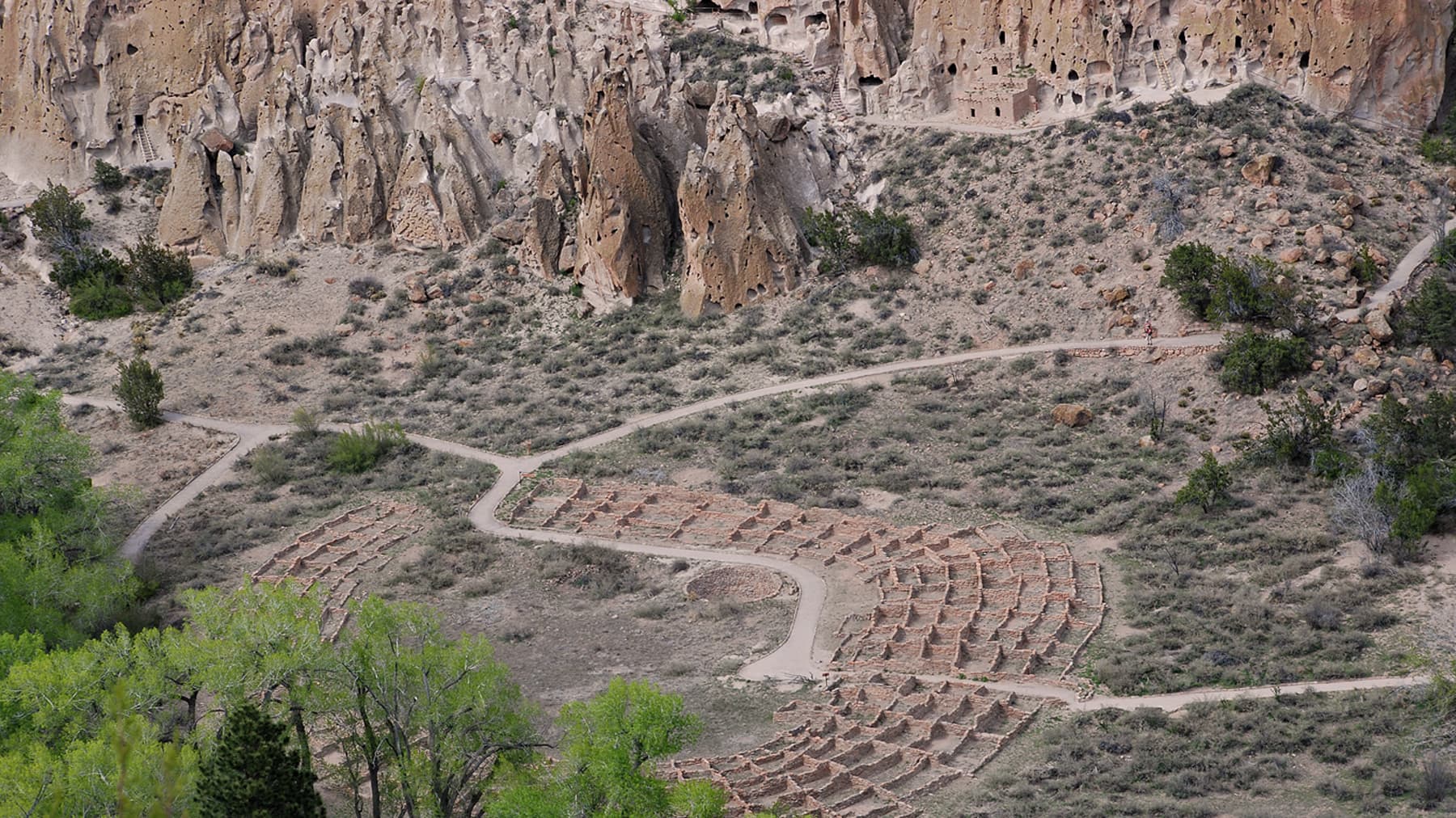
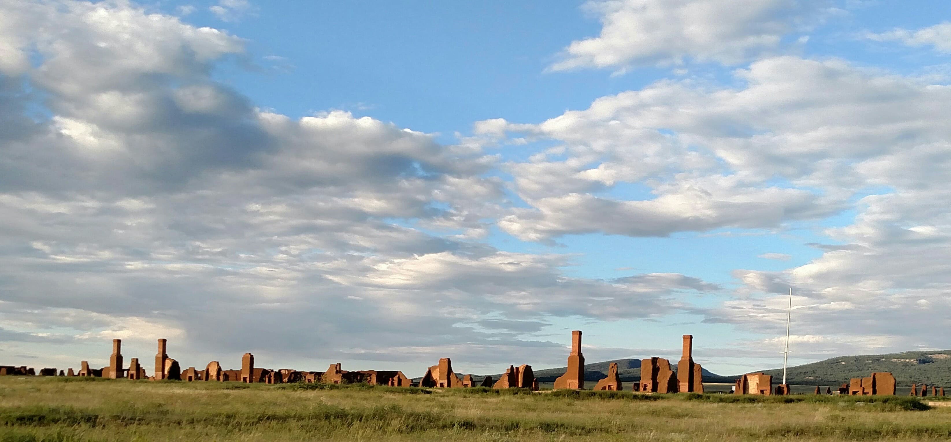
Pecos is a natural and cultural crossroads through which hunters, gatherers, traders, missionaries, immigrants, soldiers, ranchers, and other travelers passed and lived. Follow in their footsteps and imagine Pecos through the centuries. Visit sites where cultural demonstrations and traditional practices continue today - a living legacy of the people who passed this way. At Pecos, past is present.
Activities
Topics
No entrance fee.
Hours & seasons
Pecos National Historical Park is open daily from 8:00 am to 4:30 pm. The park is not open on Thanksgiving Day, Christmas Day, or New Years Day.
Generally open:
winterspringsummerfallHours are reported by the park — verify before you go.
📞 5057577241
✉ peco_visitor_information@nps.govConditions
Quietest months (fewer crowds): Jan, Feb, Nov
Typical crowds: low
Weather now: ☀️ Clear, 67°F
☁️ 75°/51°
☁️ 78°/54°
🌦️ 70°/54°
Typical monthly recreation visits · NPS avg 2023–2025 — orange months are the quietest by crowds.
Quietest months
Relative crowds by month — lighter is quieter; ringed months are the calmest by crowds.
Jan
28%
Feb
36%
Mar
87%
Apr
86%
May
100%
Jun
99%
Jul
96%
Aug
74%
Sep
77%
Oct
76%
Nov
45%
Dec
51%
Log a sky reading
Measured the sky with an SQM meter or app? Add your reading (16 = city glow … 22 = pristine). Opt in under “Travelers like you” to share it on the community leaderboard.
Things to do
Hiking Glorieta Pass Battlefield · 2.25 mi · 500 ft gain
Hiking the Ancestral Sites Trail · 1.25 mi · 80 ft gain
Walking the South Pasture Loop · 3.8 mi
Fishing at Pecos NHP
Visitor centers
E. E. Fogelson Visitor Center
Accessibility
3 audio-described place(s)
Reported by the park — verify before you go.
Not an official safety source — always defer to NPS.gov and rangers for life-safety decisions.
By the numbers
A visual read on Pecos National Historical Park — its character, trails, sky, and weather.
Park fingerprint
How this park scores across the dimensions travelers care about.
Trail difficulty
Difficulty mix across this park's trails.
Trail profile
Each dot is a trail — distance vs. elevation gain, by difficulty.
3-day forecast
Daily high and low temperatures (°F).
People & stories
Figures tied to Pecos National Historical Park — each spans a cross-park journey.
Edward R.S. Canby
— MilitaryJean McWhirt Pinkley
— Archeologist, Archaeologist, History Of ArcheologyJohn Chivington
— Military, Glorietta Pass, Sand CreekKit Carson
— Military, Fur Trade, Westward ExpansionPassport stamps
Mark the stamps you've collected — they show in your memory and along your routes.
🎫 E. E. Fogelson Visitor Center
🎫 Pecos National Historical Park
Places to see
Ancestral Sites - Ramada & Torreon
Ancestral Sites Tour - A New Presence
Ancestral Sites Tour - City Slightly & Strong
Ancestral Sites Tour - Convento Kiva
Ancestral Sites Tour - Epilogue
Ancestral Sites Tour - Heart of the Convento
Ancestral Sites Tour - Making a Living
Ancestral Sites Tour - Mission Economy
Ancestral Sites Tour - Pueblo Ceremonial Room
Ancestral Sites Tour - South Pueblo
Ancestral Sites Tour - The Boundary
Ancestral Sites Tour - The Last Church
Audio & media
🎧
🎬
🖼
Learn more
View the recipients of the 2023 National Park Service Excellence in Interpretation Awards, which recognize outstanding contributions to the practice of interpretation and education by NPS employees.
Meet the recipients of the 2026 Director's Awards for Natural and Cultural Resources. These awards recognize employees who go above and beyond day-to-day duties to solve problems, create new opportunities, or undertake projects in resource stewardship through creative thinking and action.
When the climate changes enough, the vegetation communities growing in any given place will also change. Under an expanded bimodal climate zone, some plant communities in western national parks are more likely to change than others. National Park Service ecologists and partners investigated the future conditions that may force some of this change. Having this information can help park managers decide whether to resist, direct, or accept the change.
Both the Clean Air Act and the National Park Service Organic Act protect air resources in national parks. Park resources affected by air quality include scenery and vistas, vegetation, water, and wildlife. Over the past three decades, the National Park Service has developed several internal and cooperative programs for monitoring various measures of air quality.
Across the US, changes in water availability are altering which plants grow where. These changes are evident at a broad scale. But not all areas experience the same climate in the same way, even within the boundaries of a single national park. A new dataset gives park managers a valuable tool for understanding why vegetation has changed and how it might change in the future under different climate-change scenarios.
Climate change may have direct and/or indirect effects on many elements of Southern Plains network ecosystems, from streams and grasslands to fires and birds.
Climate is one of many ecological indicators monitored by the National Park Service (NPS) Division of Inventory & Monitoring (I&M). Climate data help scientists to understand ecosystem processes and help to explain many of the patterns and trends observed in other natural-resource monitoring. In NPS units of the American Southwest, three I&M networks monitor climate using the scientific protocol described here.
Climate and hydrology shape ecosystems and the services they provide. The Southern Plains Network monitors climate and groundwater at Pecos National Historical Park to provide context for the condition of park resources. Long-term climate datasets are valuable for understanding how climate, water, and park resources are changing over time.
How Pecos National Historical Park connects
This park's activities, topics, location, and on-the-ground places — one hop in the graph. Drag to explore; click an activity, topic, or related park to follow it.
Park
Activity
Topic
State
VisitorCenter
PassportStamp
Trail
ThingToDo
Alert
Similar parks
Share activities & topics with Pecos National Historical Park.