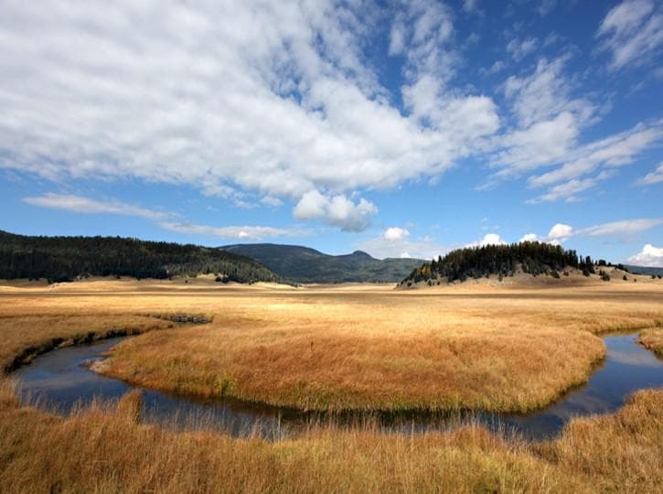
Valles Caldera National Preserve
New Mexico
Tonight
🌔 74% moon
9 h fully dark
Hikes
Easy–Strenuous
🟢 🔴
Crowds
low
Open today
Open
Valle Grande Main Entrance: closed Nov 26 – Nov 26; Valle Grande Main Entrance: closed Dec 25 – Dec 25
Entrance
$25
NM-4 Temporary Closure for McCauley Springs Wildfire
The McCauley Springs Fire is burning on the Santa Fe National Forest west of Valles Caldera National Preserve. Smoke is visible from the park. As of 12:30 pm on Wednesday, June 24, NM State Route 4 is closed from mile marker 27 (Winter Rd.) to mile marker 39 (Valles Caldera National Preserve main entrance) for public safety and emergency operations. Please use a different route.
Backcountry route open to vehicles May 15 - November 15
Valles Caldera's backcountry road system opens to vehicles on Friday, May 15, 2026. Forty vehicles passes will be issued per day through November 15, when the route closes for the 2026 season. Passes may be reserved up to 3 months in advance at Recreation.gov. Any remaining daily passes will be available on a first come, first served basis in the Volcano Discovery Center.
Official NPS alert →Trail closure for pipeline restoration project
The VC09/South Valle Toledo/Posos Trail from the Valle Toledo parking area to the eastern park boundary is closed for restoration. The NPS is working on a trail reroute and will provide details as soon as possible.
Official NPS alert →About 1.2 million years ago, a spectacular volcanic eruption created a 14-mile-wide circular depression in the earth now known as Valles Caldera. The preserve is known for its huge mountain meadows, abundant wildlife, and meandering streams. The area also preserves the homeland of ancestral native peoples and embraces a rich ranching history.
Activities
Topics
Entrance fees
$25.00 — Entrance - Private Vehicle
$20.00 — Entrance - Motorcycle
$15.00 — Entrance - Per Person
Hours & seasons
Valle Grande Main Entrance is located at mile marker 39.2 along New Mexico Highway 4.
⚠ Valle Grande Main Entrance: closed Nov 26 – Nov 26; Valle Grande Main Entrance: closed Dec 25 – Dec 25
Generally open:
winterspringsummerfallHours are reported by the park — verify before you go.
📞 505-670-1612
✉ vall_info@nps.govConditions
Quietest months (fewer crowds): Jan, Feb, Mar, Dec
Typical crowds: low
Weather now: ⛅ Partly cloudy, 62°F
☁️ 65°/41°
☁️ 66°/46°
🌦️ 62°/47°
Typical monthly recreation visits · NPS avg 2023–2025 — orange months are the quietest by crowds.
Quietest months
Relative crowds by month — lighter is quieter; ringed months are the calmest by crowds.
Jan
23%
Feb
23%
Mar
35%
Apr
46%
May
80%
Jun
89%
Jul
96%
Aug
83%
Sep
98%
Oct
100%
Nov
45%
Dec
31%
Log a sky reading
Measured the sky with an SQM meter or app? Add your reading (16 = city glow … 22 = pristine). Opt in under “Travelers like you” to share it on the community leaderboard.
Live conditions
Things to do
Bike the Valle Grande Loop · 15 mi · While the route is generally flat, there are sections of uphill and downhill. The rough section of the trail may be slow going, depending on the conditions of the trail. E-bikes are permitted on the entire loop.
Take a Scenic Drive through Valle Grande
🟢 Hike the Valle Grande Exploration Trail · 0.8 mi · 8517 ft gain
Hike the South Valle Grande Trail · 2 mi · 9081 ft gain
Hike the South Mountain Trail · 8.2 mi · 9795 ft gain
Hike the Rabbit Ridge Trail · 2.4 mi · 9606 ft gain
Hike the Rabbit Mountain Loop · 2.9 mi · 8950 ft gain
🟢 Hike the Cabin District Interpretive Trail · 0.6 mi
Visitor centers
Volcano Discovery Center
Accessibility
45 audio-described place(s)
Reported by the park — verify before you go.
Parking
Entrance Station Parking Lot · 30 accessible spacesaccessible
Not an official safety source — always defer to NPS.gov and rangers for life-safety decisions.
By the numbers
A visual read on Valles Caldera National Preserve — its character, trails, sky, and weather.
Park fingerprint
How this park scores across the dimensions travelers care about.
Trail difficulty
Difficulty mix across this park's trails.
Trail profile
Each dot is a trail — distance vs. elevation gain, by difficulty.
3-day forecast
Daily high and low temperatures (°F).
People & stories
Figures tied to Valles Caldera National Preserve — each spans a cross-park journey.
Jessie Fenton Fitzgerald
— Womens History, Womens History Month, RanchingPassport stamps
Mark the stamps you've collected — they show in your memory and along your routes.
🎫 Historic Cabin District
🎫 Volcano Discovery Center
Places to see
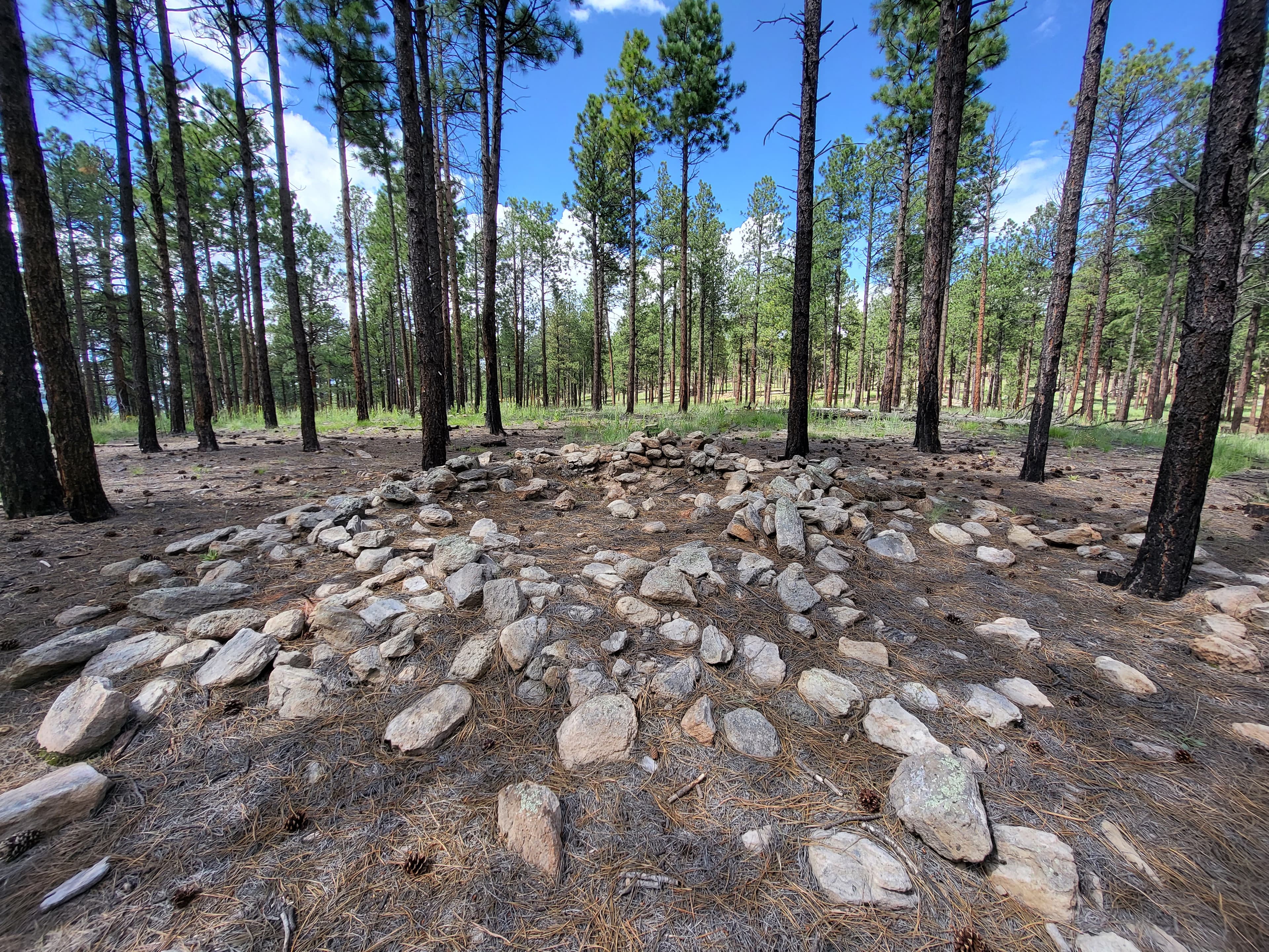
Banco Bonito
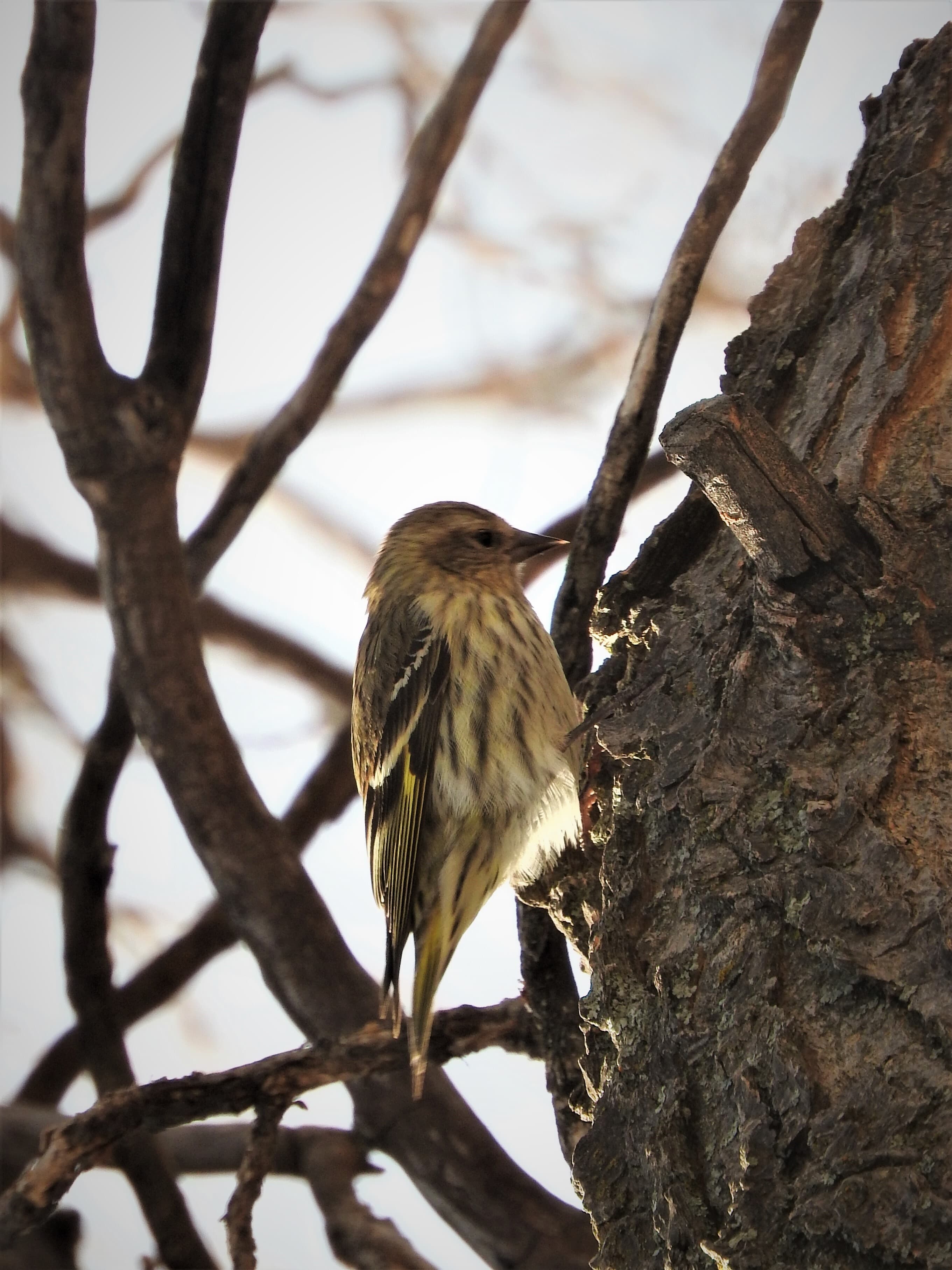
Birding By Car Stop 1
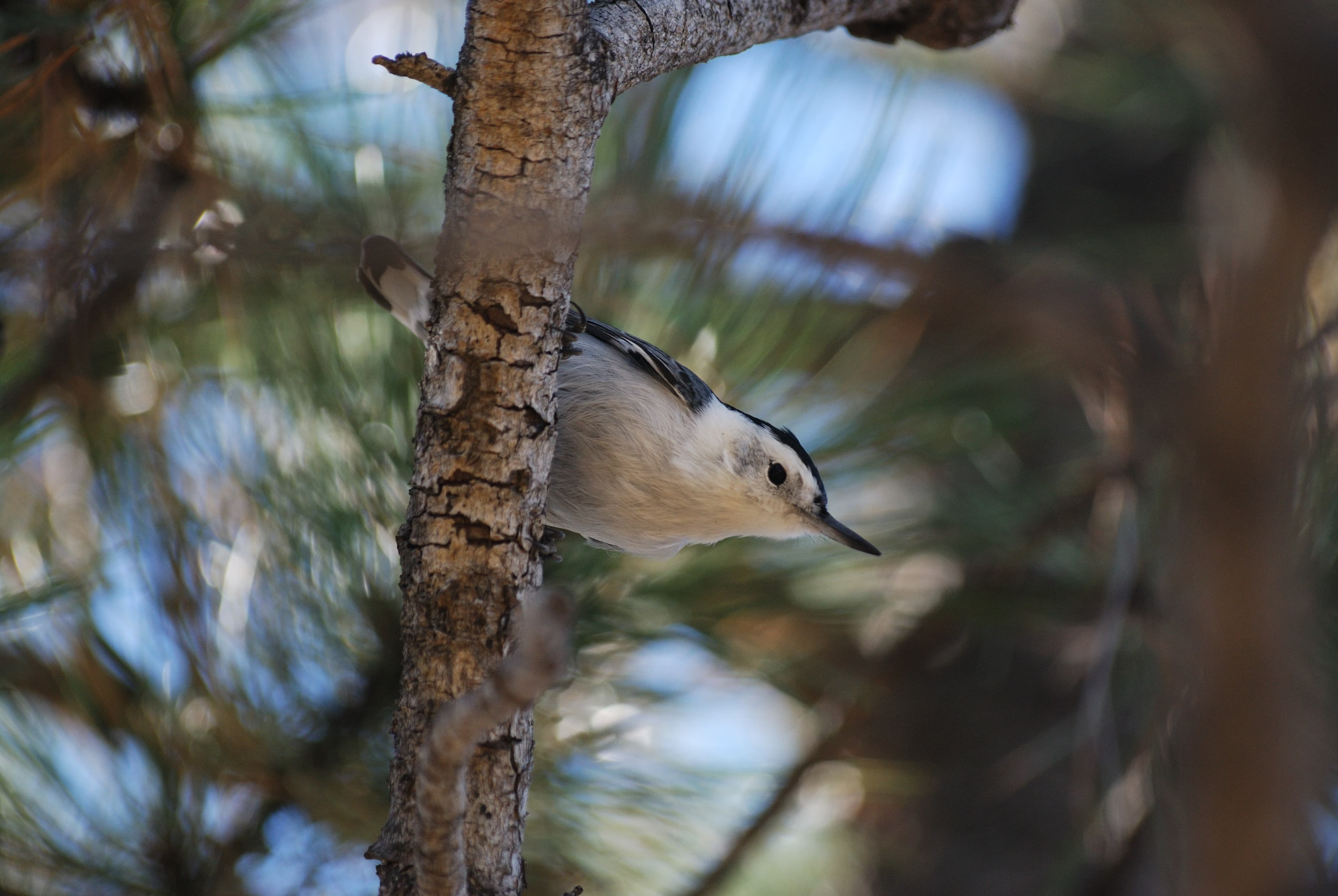
Birding By Car Stop 2
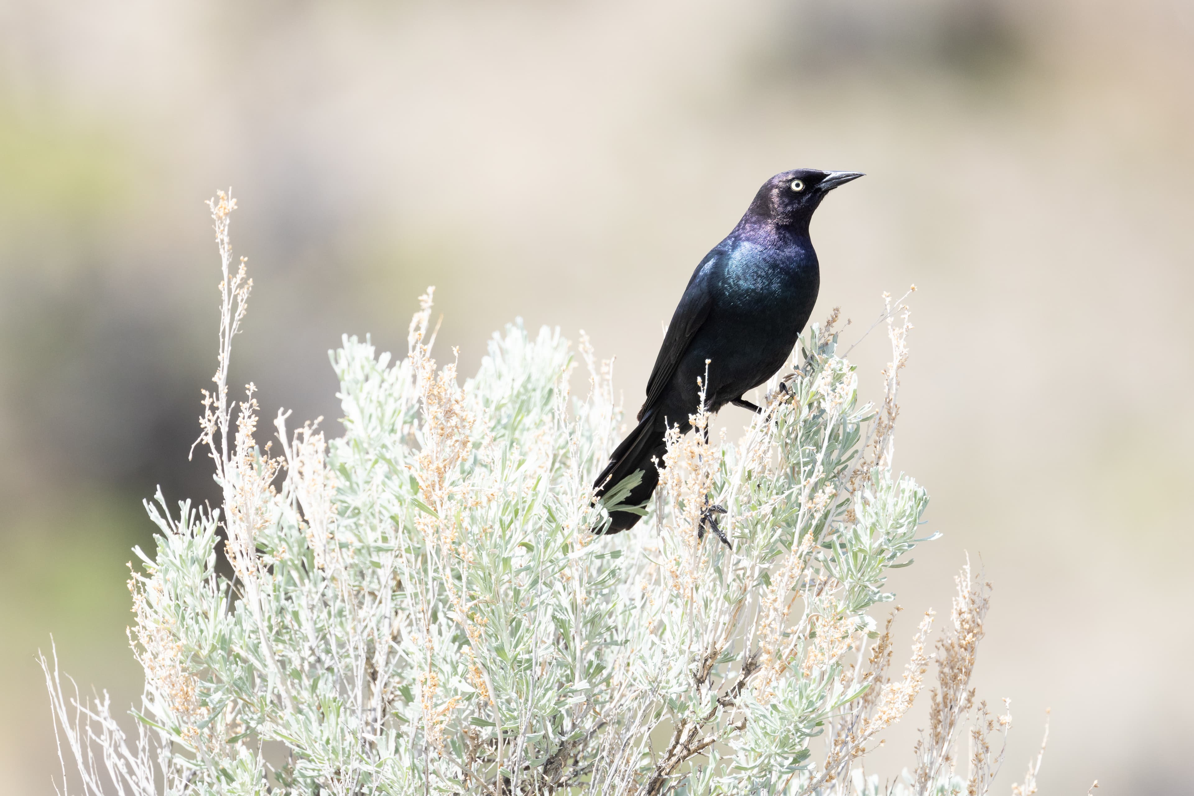
Birding By Car Stop 3
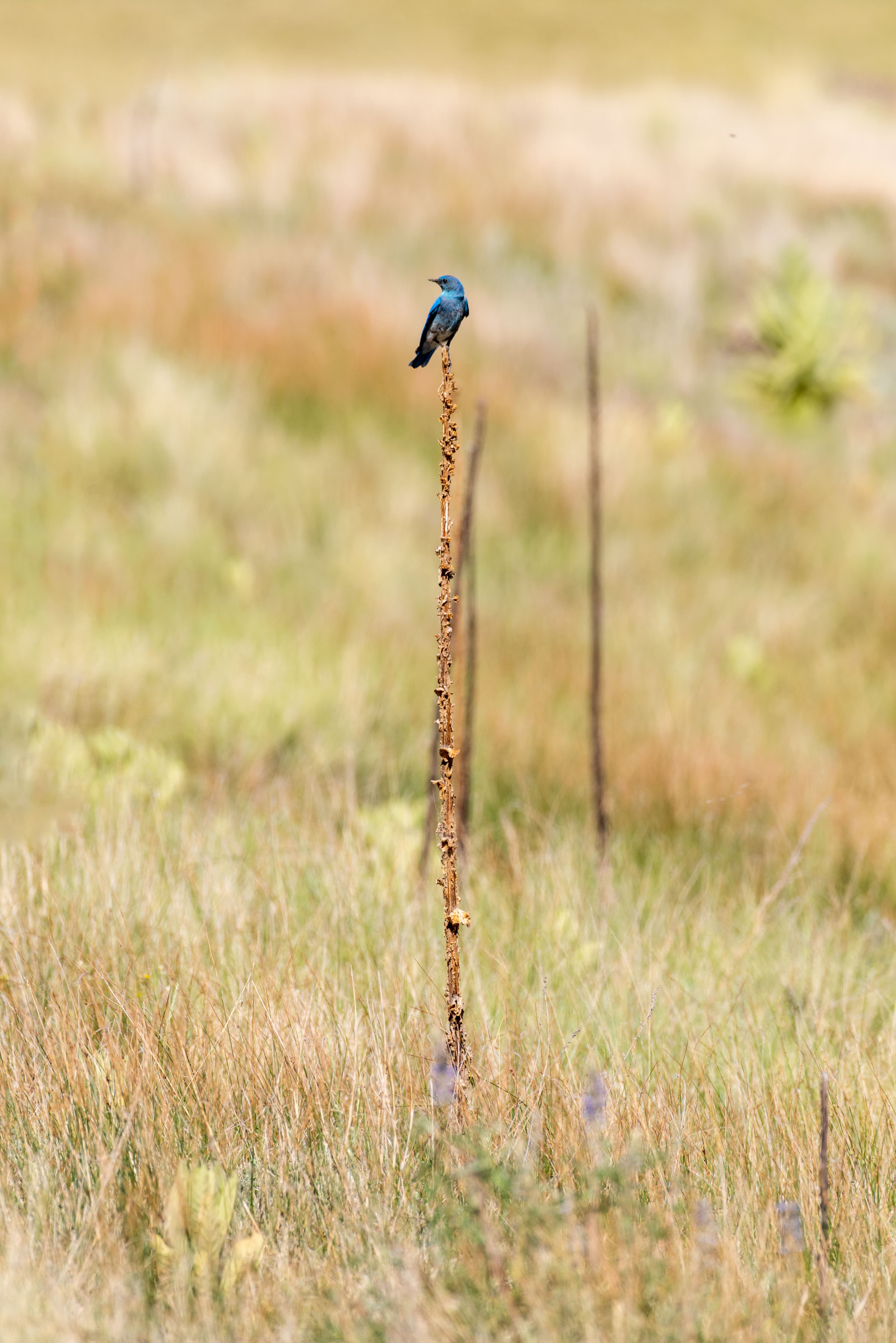
Birding By Car Stop 4
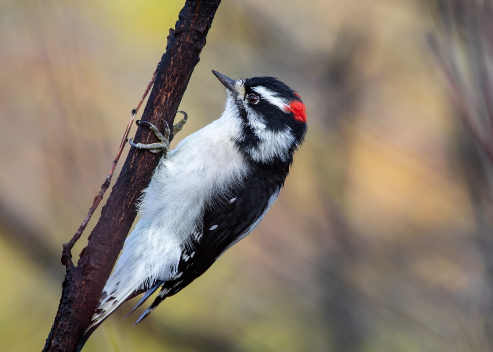
Birding By Car Stop 5
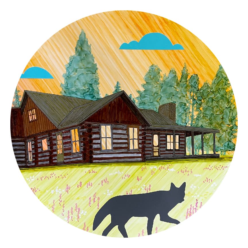
Bond Cabin
audio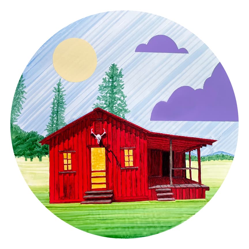
Caretaker's Cabin
audio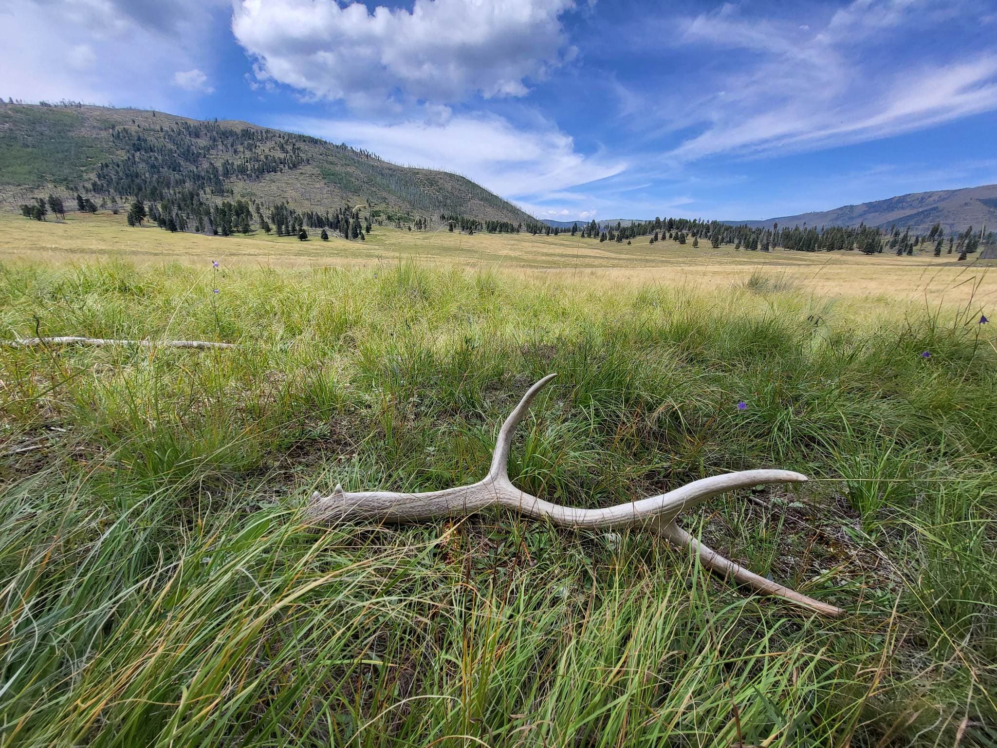
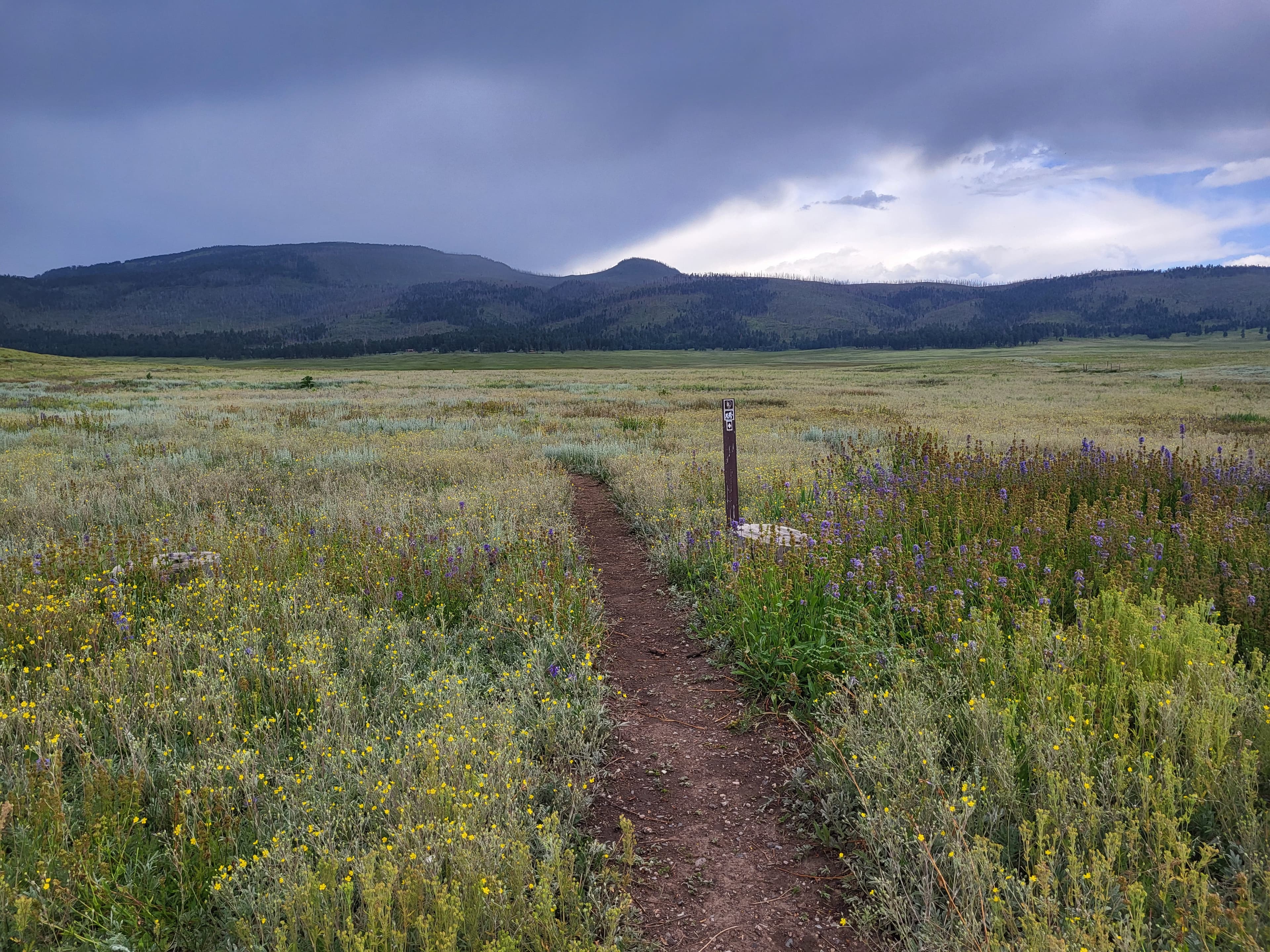
Cerro Del Medio
Cerro La Jara Stop 1
audio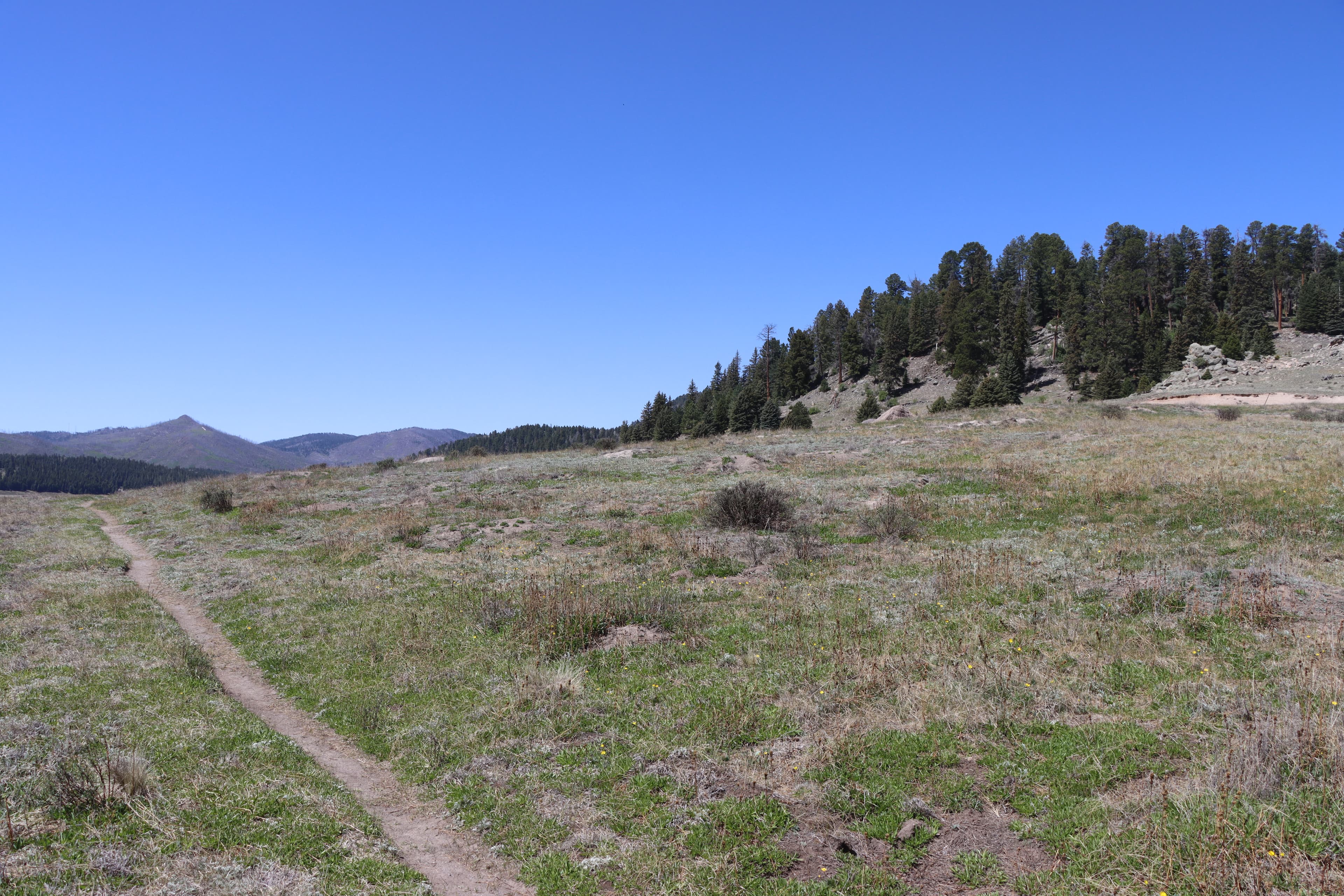
Cerro La Jara Stop 2
audio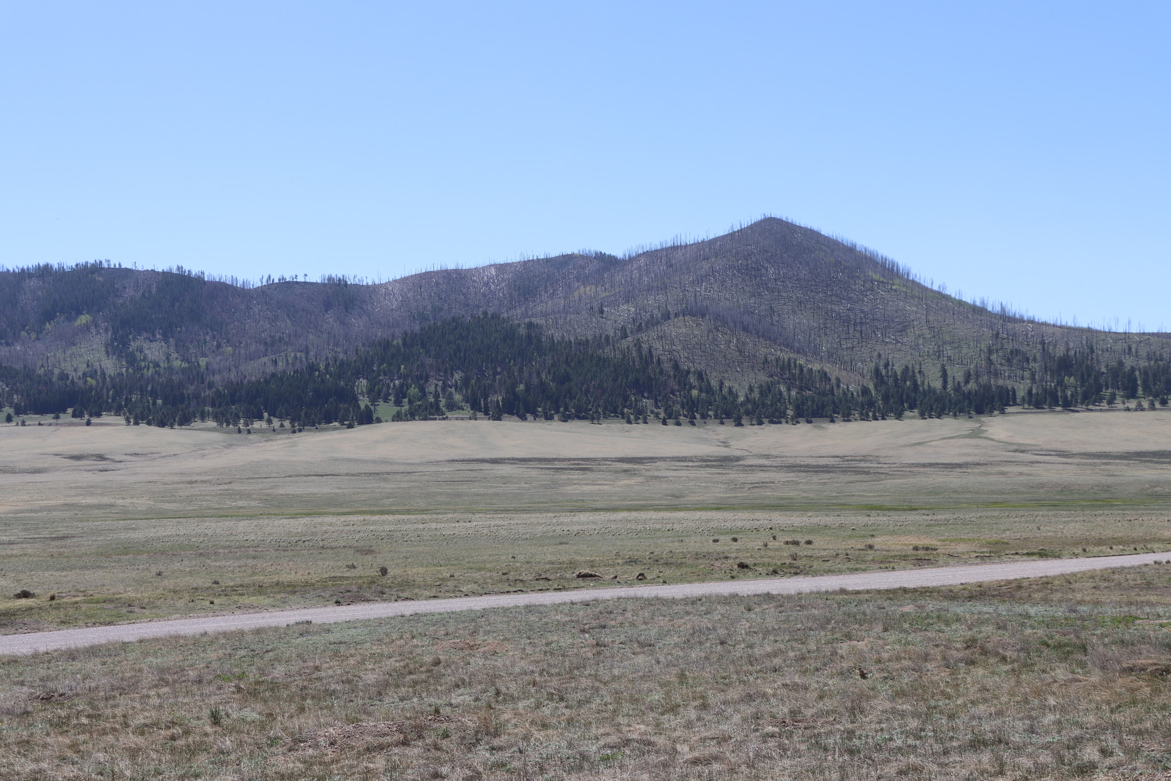
Cerro La Jara Stop 3
audioAudio & media
🎧
🎬
🖼
Learn more
Ahead of my residency at Valles Caldera, I thought a lot about the fact that the reason I’m able to be here is that this land is now no longer privately owned. Like all of the properties under the aegis of the National Park Service, it is public land. We, the public, own the land in the sense that is it no longer in the hands of private individuals. But what does this kind of ownership mean? What is our relationship, as private individuals, to public lands?
It is astonishing to be here. Although I now live in Cambridge, England, I was born and raised 15 miles down the road in Los Alamos. Growing up, Valles Caldera, or The Valle as we called it, was always a place of seductive mystery. We loved it from afar, from the top of Pajarito Ski Hill, from the edges of New Mexico Highway 4, but never from inside its forbidden boundaries.
I’ve had the extended, focused time in the mountains I have missed and dreamed of for years. But the time has also shown me who I am away from the mountains. I am of the mountains but not always in them. Like obsidian from Cerro del Medio, I bear the fingerprint of the Jemez in all that I do. But, like the much of the obsidian, I, too, have travelled far from my point of origin.
On my first walk around Cerro La Jara, when rounding the north side of the dome, I see two coyotes hunting and loping along. Their tawny browns, blacks and grays blend in with the grasses. I hold my phone camera up, recording a video while tracking them with my bare eyes. Transfixed, I watch until they dissolve into the landscape. When I look at the video later, they aren’t there. Of course they aren’t.
My UK life is knocking at the door, emails are leaking in: dentist appointment reminders, tutoring to arrange for my daughter, my own teaching and mentoring jobs resurfacing. A small but perceptible shift in my heart, time to go home. Home to the life I’ve built and nourished in England over the past 18 years.
Every time I venture on a new trail, I scan the mountains, looking for burn scars, trying to gauge the extent of the Las Conchas (2011) and Thompson Ridge (2013) fires. It’s one thing to study a color-coded map that shows severity and extent of the burns, it’s another to stand on a hillside among acres and acres of downed trees, then see similar damage miles away caused by the same fire.
I have a not-so-secret agenda nestled in my stewardship of storytelling. I’d even call it a mission. My hope is that this work contributes to people articulating and nurturing their own personal versions of the land ethic. What is the land ethic?
Morning e-bike ride to Obsidian Valley. I had forgotten how thrilling it is to ride a bike in the mountains. Nothing compares with the pure joy of coasting through patches of sun and shade, the scents of ponderosas, warm dust, and mountain sage in the air.
How Valles Caldera National Preserve connects
This park's activities, topics, location, and on-the-ground places — one hop in the graph. Drag to explore; click an activity, topic, or related park to follow it.
Park
Activity
Topic
State
VisitorCenter
ParkingLot
PassportStamp
Trail
ThingToDo
Alert
Similar parks
Share activities & topics with Valles Caldera National Preserve.