El Malpais National Monument
New Mexico
Tonight
🌔 74% moon
9 h fully dark
Hikes
Moderate–Strenuous
🟡 🔴
Crowds
low
Open today
Open
Entrance
Free entry
Stage II Fire Restrictions in effect
Stage II Fire Restrictions are in effect until further notice. The following activities are prohibited: building, maintaining, attending or using a fire, campfire, charcoal, coal, or wood stove and smoking, except within an enclosed vehicle.
Official NPS alert →NPS 300 Road Conditions
NPS 300 to Big Tubes is dry with some rutted areas. Road conditions may change after thunderstorms. A four-wheel-drive vehicle is recommended.
Official NPS alert →El Calderon Trail closed for construction through July 2026
The El Calderon Trail and parking area are closed from August 11, 2025, through July 31, 2026, for a major improvement project. NPS Road 100 will remain open for local traffic only, and the Continental Divide Trail will remain open for CDT thru-hikers.
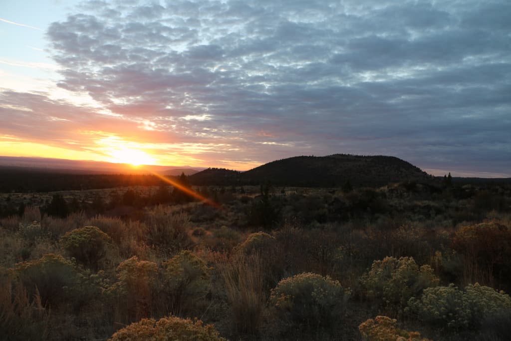
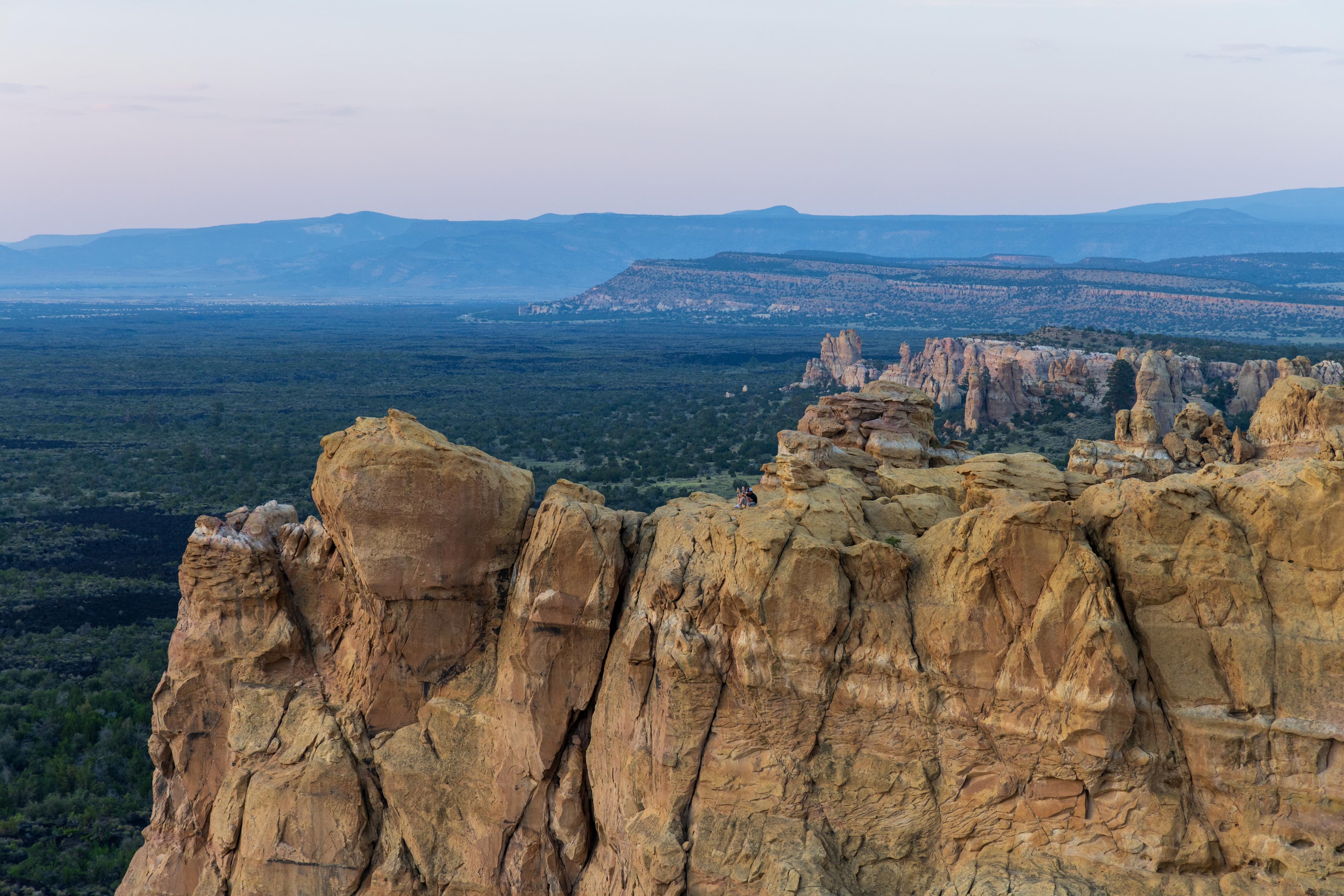
Official NPS alert →The richly diverse volcanic landscape of El Malpais (el-mal-pie-EES) offers solitude, recreation, and adventure. Explore incredible geologic features such as young lava flows, cinder cones, lava tubes, and sandstone bluffs. While some may see a desolate environment, people have been adapting to and living in this extraordinary terrain for generations. Come visit the land of frozen fire!
Activities
No entrance fee.
Hours & seasons
El Malpais National Monument is open 24 hours a day, 7 days a week, with the following exceptions: - Sandstone Bluffs Overlook and the West Zuni-Acoma Trail parking lot are open from sunrise to sunset. - El Malpais Visitor Center and parking area is open daily from 9:00 am to 5:00 pm. Winter hours may vary. The visitor center is closed on Thanksgiving Day, December 25th, and January 1st. - El Malpais Emergency Operations Center is currently closed to the public.
Generally open:
winterspringsummerfallHours are reported by the park — verify before you go.
📞 5058762783
✉ elma_social_media@nps.govConditions
Quietest months (fewer crowds): Jan, Feb
Typical crowds: low
Weather now: ☀️ Clear, 63°F
☁️ 76°/46°
☁️ 77°/48°
🌧️ 65°/53°
Typical monthly recreation visits · NPS avg 2023–2025 — orange months are the quietest by crowds.
Quietest months
Relative crowds by month — lighter is quieter; ringed months are the calmest by crowds.
Jan
34%
Feb
43%
Mar
69%
Apr
85%
May
100%
Jun
81%
Jul
71%
Aug
66%
Sep
73%
Oct
71%
Nov
49%
Dec
47%
Log a sky reading
Measured the sky with an SQM meter or app? Add your reading (16 = city glow … 22 = pristine). Opt in under “Travelers like you” to share it on the community leaderboard.
Things to do
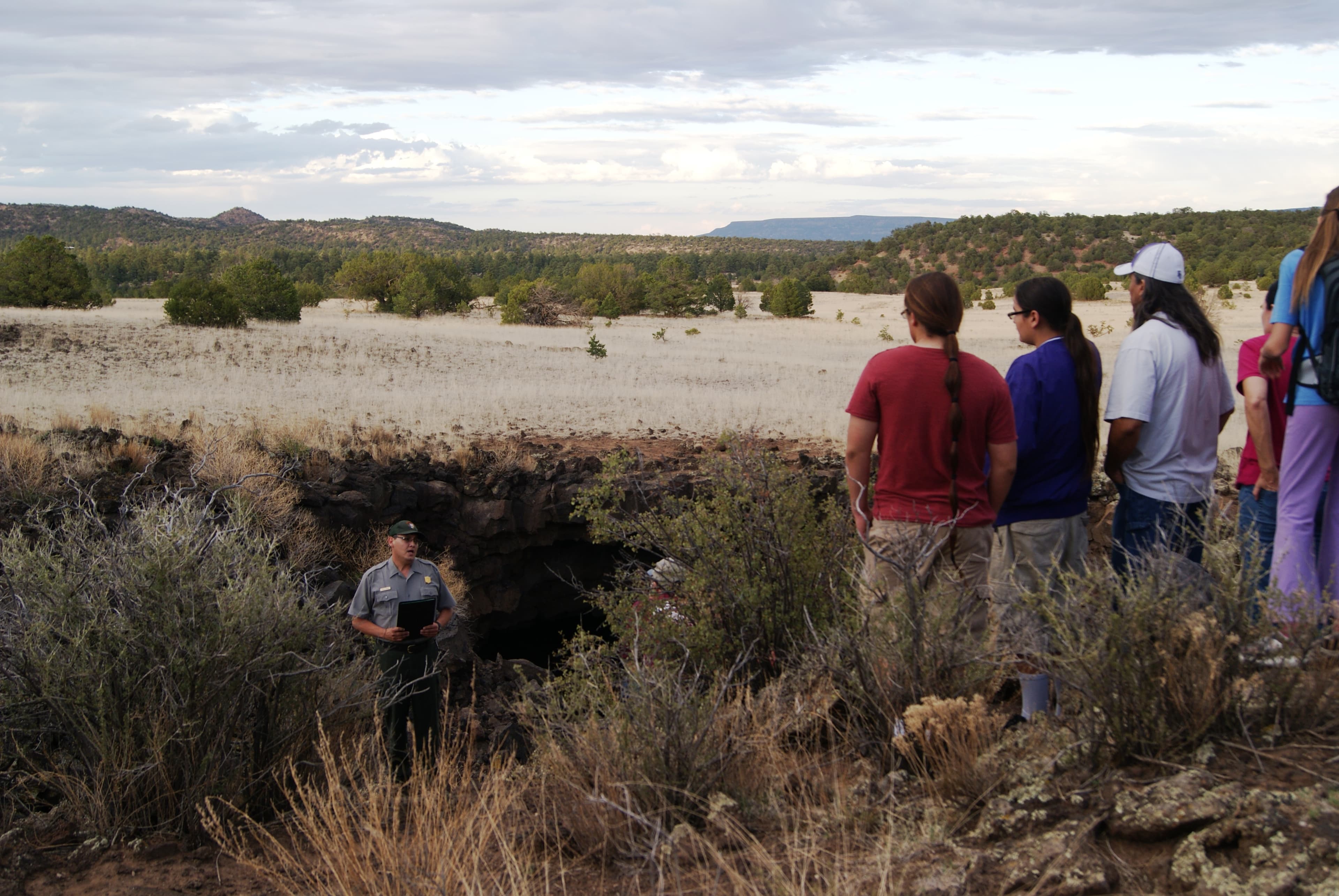
See a Bat Outflight at Bat Cave · 7000 ft gain · Bat Cave takes approximately 15-20 minutes to reach from the El Calderon trailhead. To view an outflight, plan on arriving at Bat Cave at least 20 minutes before sunset. Bat outflights may last from 15 minutes to several hours depending on how many bats are present.
🟡 Hike the El Calderon Trail · 3 mi · This hike can be made shorter or longer depending on trail options.
Traverse the Lava Falls Trail · <p>Take as much time as you need to explore this fascinating area! The drive time to the Lava Falls Trailhead from I-40 is about 50 minutes. </p>
El Malpais Night Skies · Timing, seasons, and weather may affect how long you spend outside.
Explore Sandstone Bluffs Overlook · Take as much time as you need to explore the bluffs!
Visit La Ventana Natural Arch · 4 mi · La Ventana Natural Arch is a quick, easy stop.
Hike the Narrows Rim Trail · 8 mi · <p>Expect to take about 6 hours to hike the entirety of the trail out to the overlook of La Ventana Natural Arch. This hike can be shortened considerably if you just want to get a view of the lava flows. Good views take about 1/2 hour to reach from the parking area.</p>
🔴 Follow Ancient Footpaths on the Zuni-Acoma Trail · 7.5 mi · <p>Hiking one way across the entire trail may take 8 hours or more due to its rugged nature. Out and back hikes may take as long as you feel comfortable hiking.</p>
Visitor centers
El Malpais Visitor Center
Accessibility
23 audio-described place(s)
Reported by the park — verify before you go.
Not an official safety source — always defer to NPS.gov and rangers for life-safety decisions.
By the numbers
A visual read on El Malpais National Monument — its character, trails, sky, and weather.
Park fingerprint
How this park scores across the dimensions travelers care about.
Trail difficulty
Difficulty mix across this park's trails.
3-day forecast
Daily high and low temperatures (°F).
Passport stamps
Mark the stamps you've collected — they show in your memory and along your routes.
🎫 El Malpais National Monument Visitor Center
🎫 El Malpais Visitor Center
Places to see
Bat Cave and Xenolith Cave
audioBig Skylight Cave
audio
Big Tubes Area Trailhead
audio
Double Sinks
audio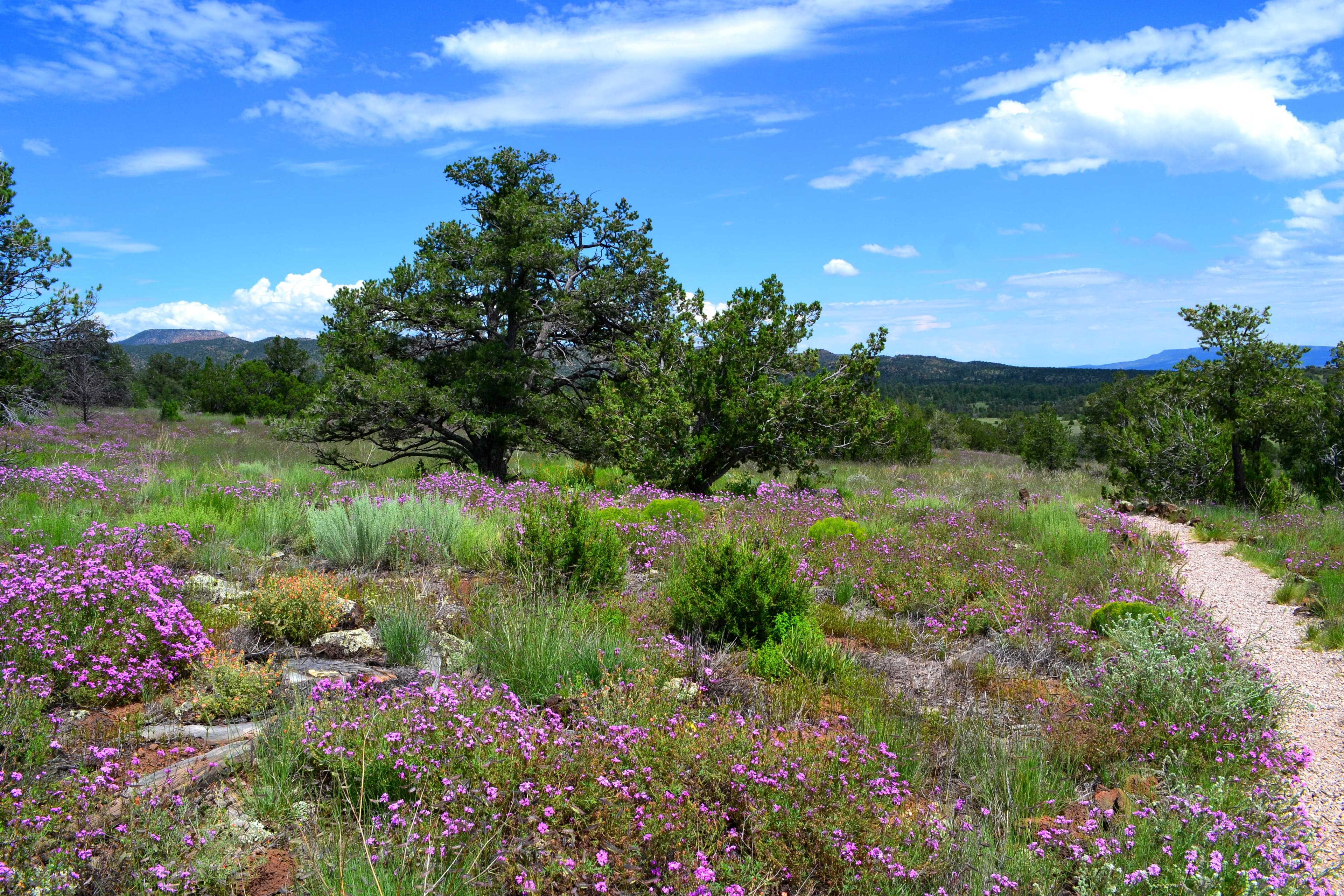
El Calderon Area Trailhead
audio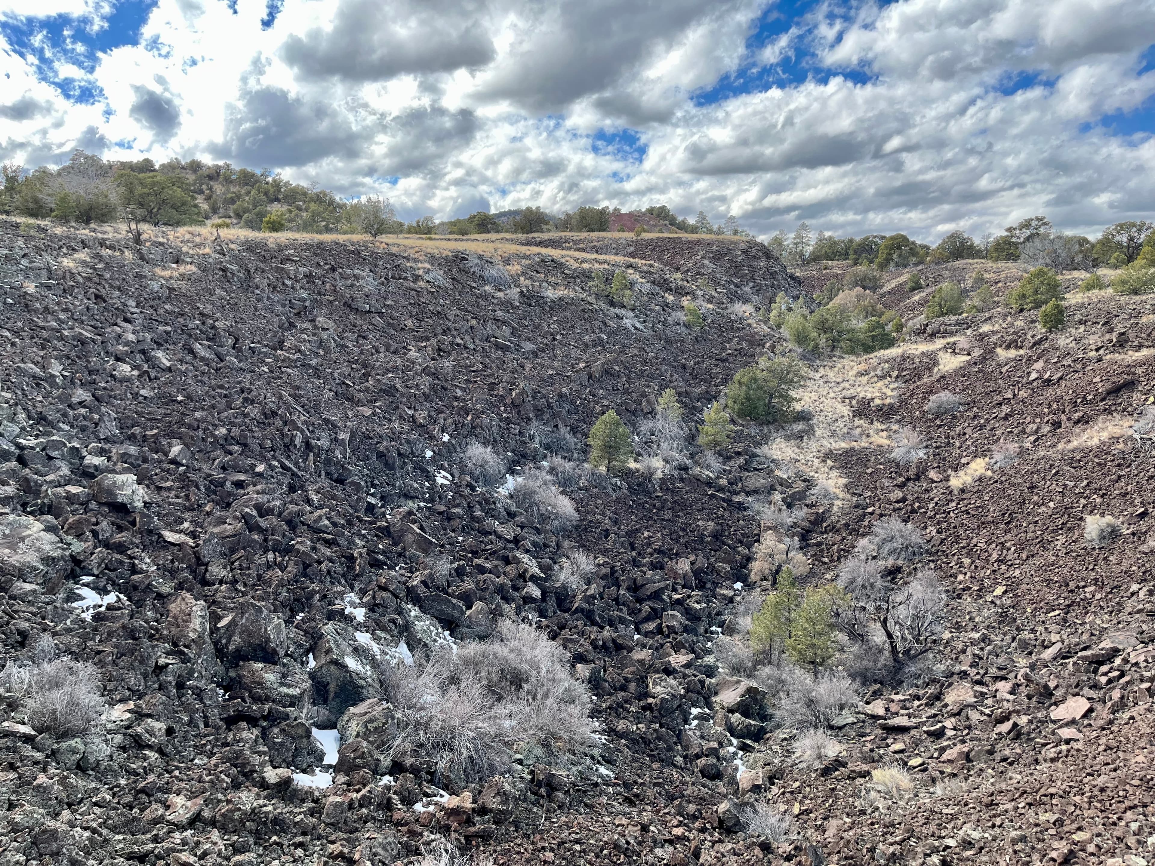
El Calderon Lava Trench
audio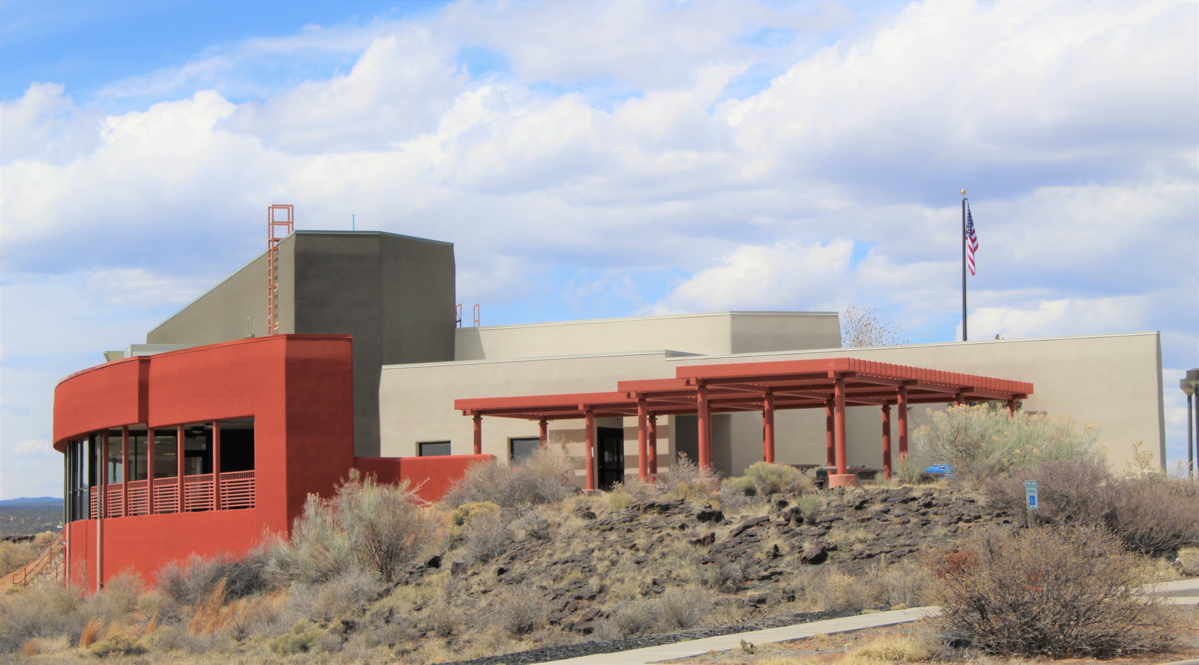
El Malpais National Monument Visitor Center
audio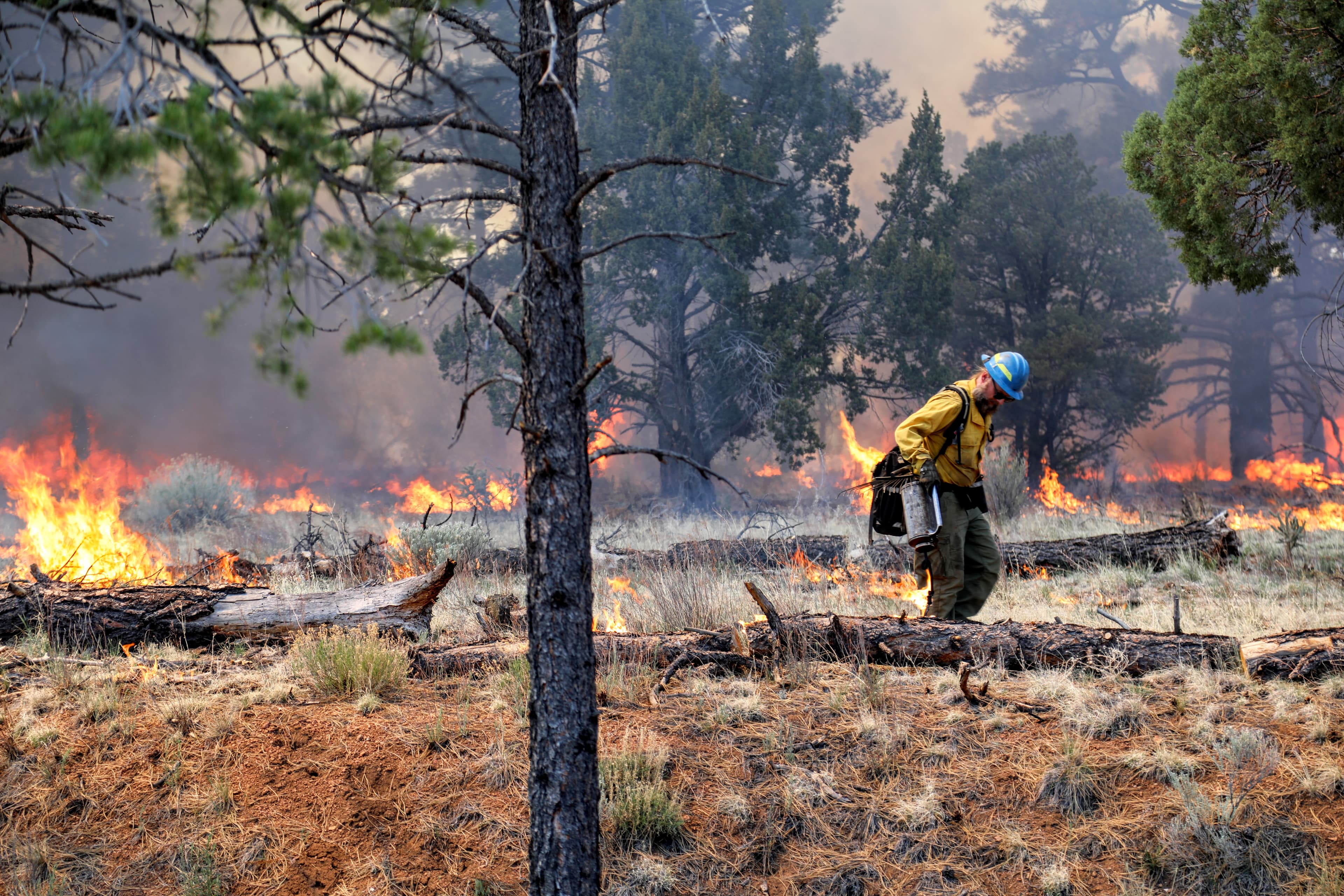
Fire Ecology
Four Windows Cave
audio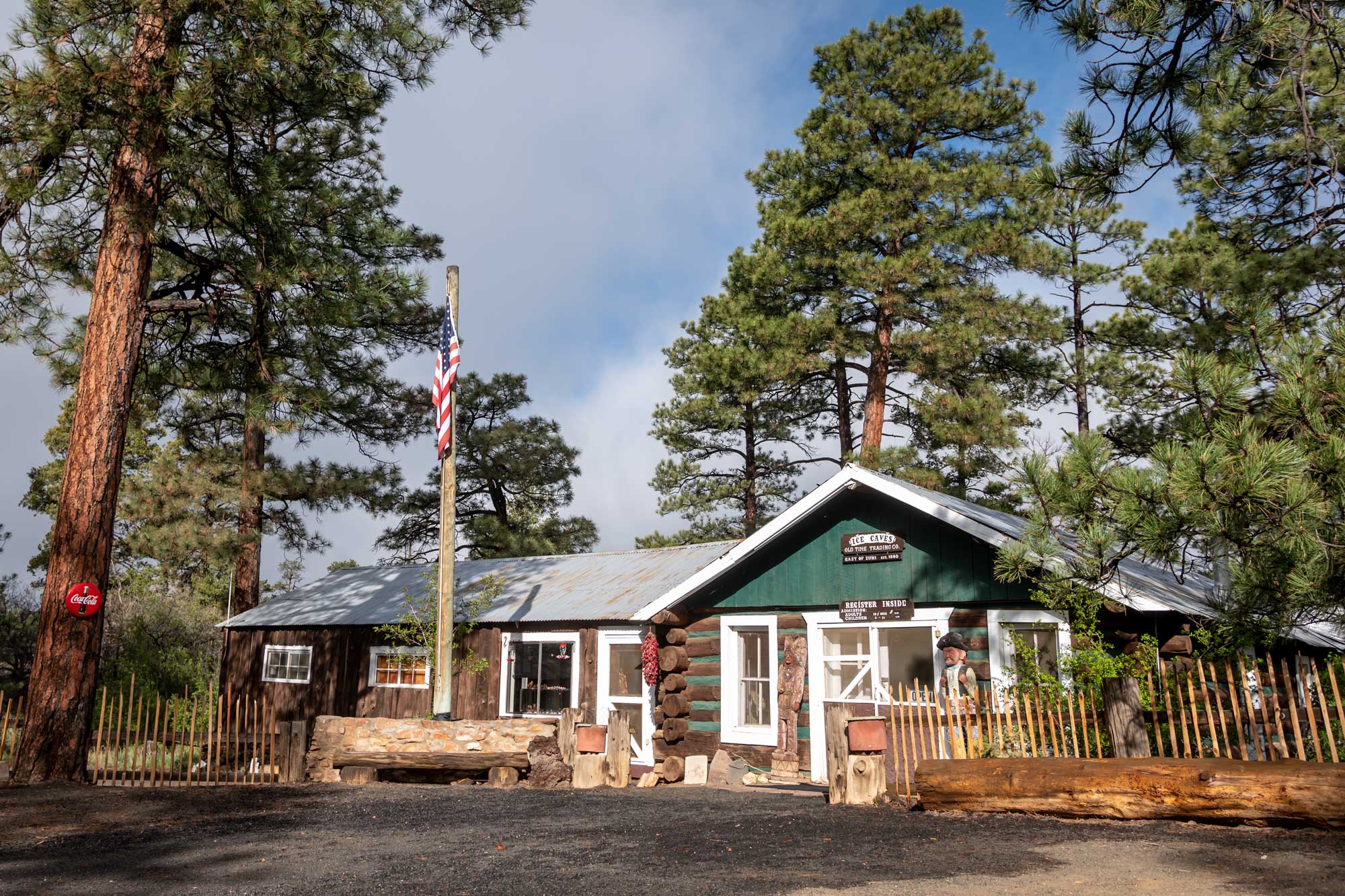
Ice Cave and Bandera Volcano
audio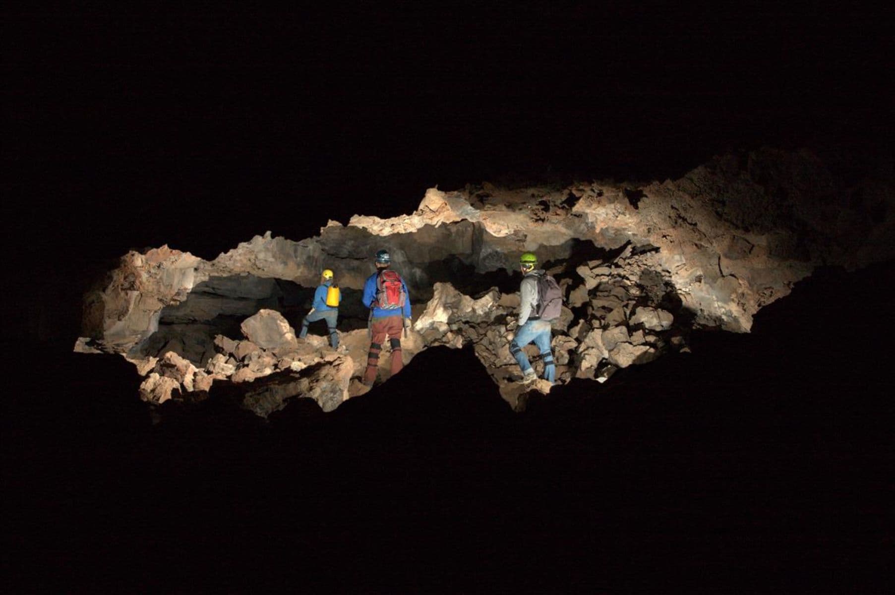
Junction Cave
audio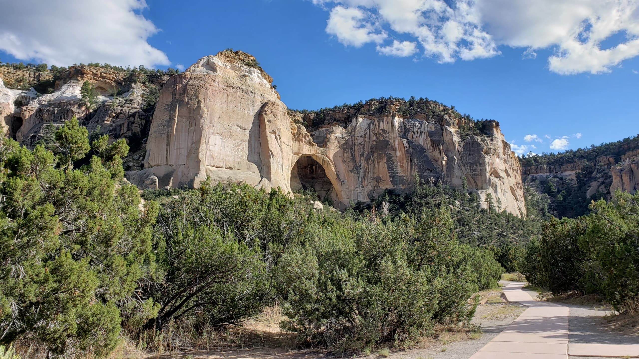
La Ventana Natural Arch
audioAudio & media
🎧
🎬
🖼
Learn more
When the climate changes enough, the vegetation communities growing in any given place will also change. Under an expanded bimodal climate zone, some plant communities in western national parks are more likely to change than others. National Park Service ecologists and partners investigated the future conditions that may force some of this change. Having this information can help park managers decide whether to resist, direct, or accept the change.
El Malpais fire team members joined with local and area fire crews to present a community outreach event on March 30, 2013 to kick off Wildfire Prevention Week in New Mexico. The local government and fire department and the USDA Forest Service and Bureau of Land Management collaborated to educate the public about fire–adapted human communities.
The approximately 1,000 ac Big Tubes Prescribed Burn was completed at El Malpais National Monument. May 11-12, 2016. The primary objective of this prescribed burn was to improve the grassland and forest health and reduce the amount of excessive fuel build-up. Fire is a natural part of the El Malpais ecosystem and reducing fuel build-up helps ensure the resiliency of fire dependent ecosystems.
The Cenozoic Era (66 million years ago [MYA] through today) is the "Age of Mammals." North America’s characteristic landscapes began to develop during the Cenozoic. Birds and mammals rose in prominence after the extinction of giant reptiles. Common Cenozoic fossils include cat-like carnivores and early horses, as well as ice age woolly mammoths.
Across the US, changes in water availability are altering which plants grow where. These changes are evident at a broad scale. But not all areas experience the same climate in the same way, even within the boundaries of a single national park. A new dataset gives park managers a valuable tool for understanding why vegetation has changed and how it might change in the future under different climate-change scenarios.
Cinder cones are typically simple volcanoes that consist of accumulations of ash and cinders around a vent. Sunset Crater Volcano and Capulin Volcano are cinder cones.
The combination of high. elevation and a semi-arid climate makes the Colorado Plateau particularly vulnerable to climate change. Climate models predict that over the next 100 years, the Southwest will become warmer and even more arid, with more extreme droughts than the region has experienced in the recent past.
Ever wondered what those dark lines were on the rock walls of canyon country? These black, brown, and red streaks are called desert varnish.
Ranger School
Park-grounded courses you can learn with the Ranger.
How El Malpais National Monument connects
This park's activities, topics, location, and on-the-ground places — one hop in the graph. Drag to explore; click an activity, topic, or related park to follow it.
Park
Activity
Topic
State
VisitorCenter
PassportStamp
Trail
ThingToDo
Alert
Similar parks
Share activities & topics with El Malpais National Monument.