Curecanti National Recreation Area
Colorado
Tonight
🌓 65% moon
8.8 h fully dark
Hikes
Strenuous
🔴
Crowds
moderate
Open today
Open
Entrance
Free entry
Stage 1 Fire Restrictions in Effect
Until further notice, the following are prohibited in all park areas: (1) Building, maintaining, attending, or using wood or charcoal fires anywhere but within campground- or picnic area-provided grills or grates. (The use of gas grills and camp stoves is permitted.) (2) Smoking is prohibited, except within an enclosed vehicle or while stopped in an area at least three feet in diameter that is barren of all flammable materials. (3) Discharging or using any kind of fireworks or other pyrotechnic devices.
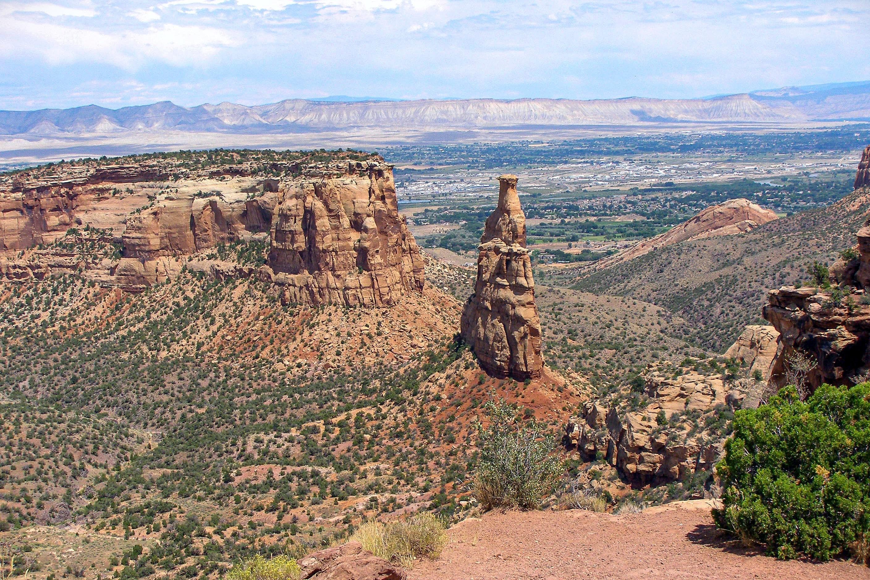
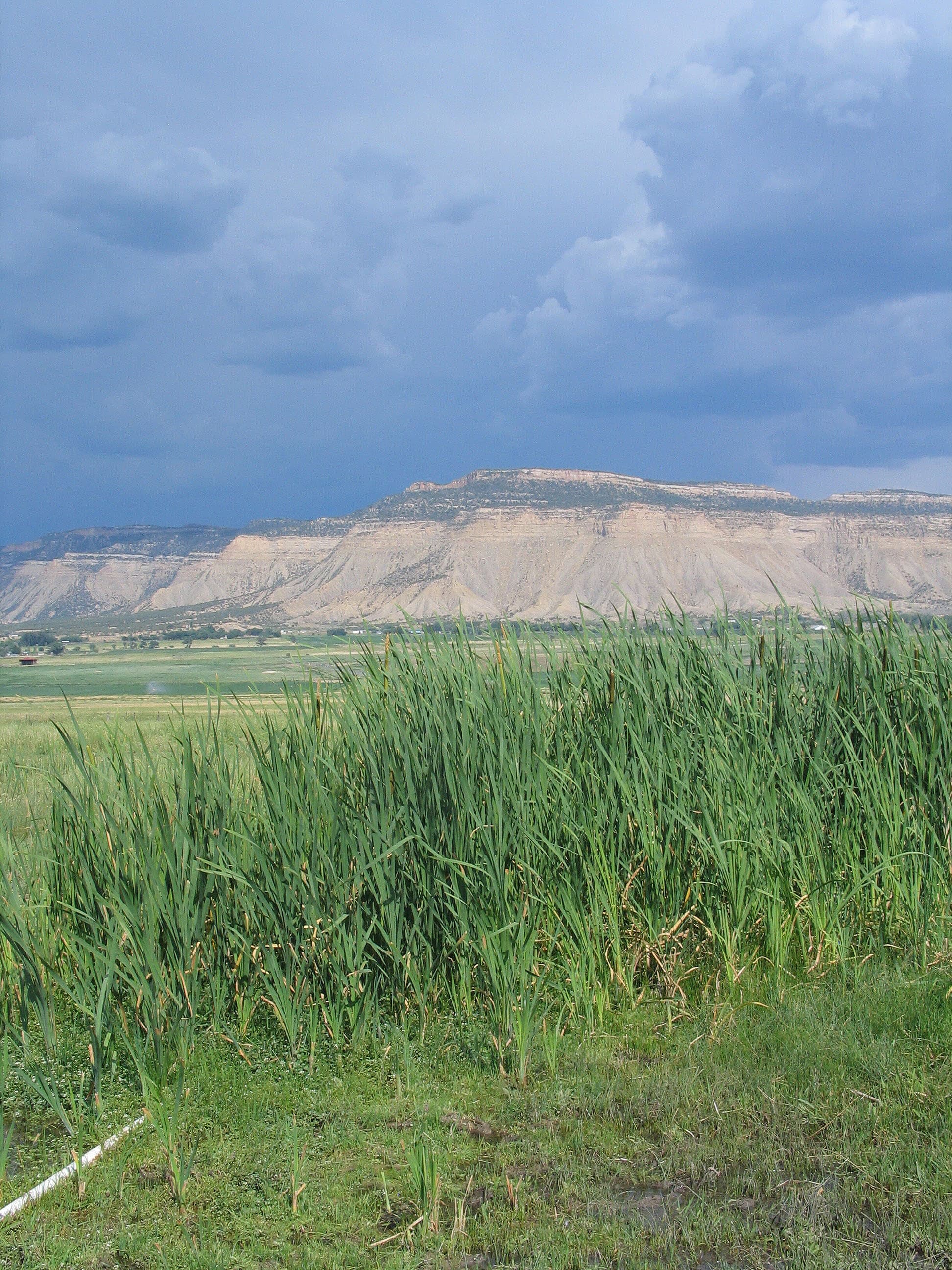
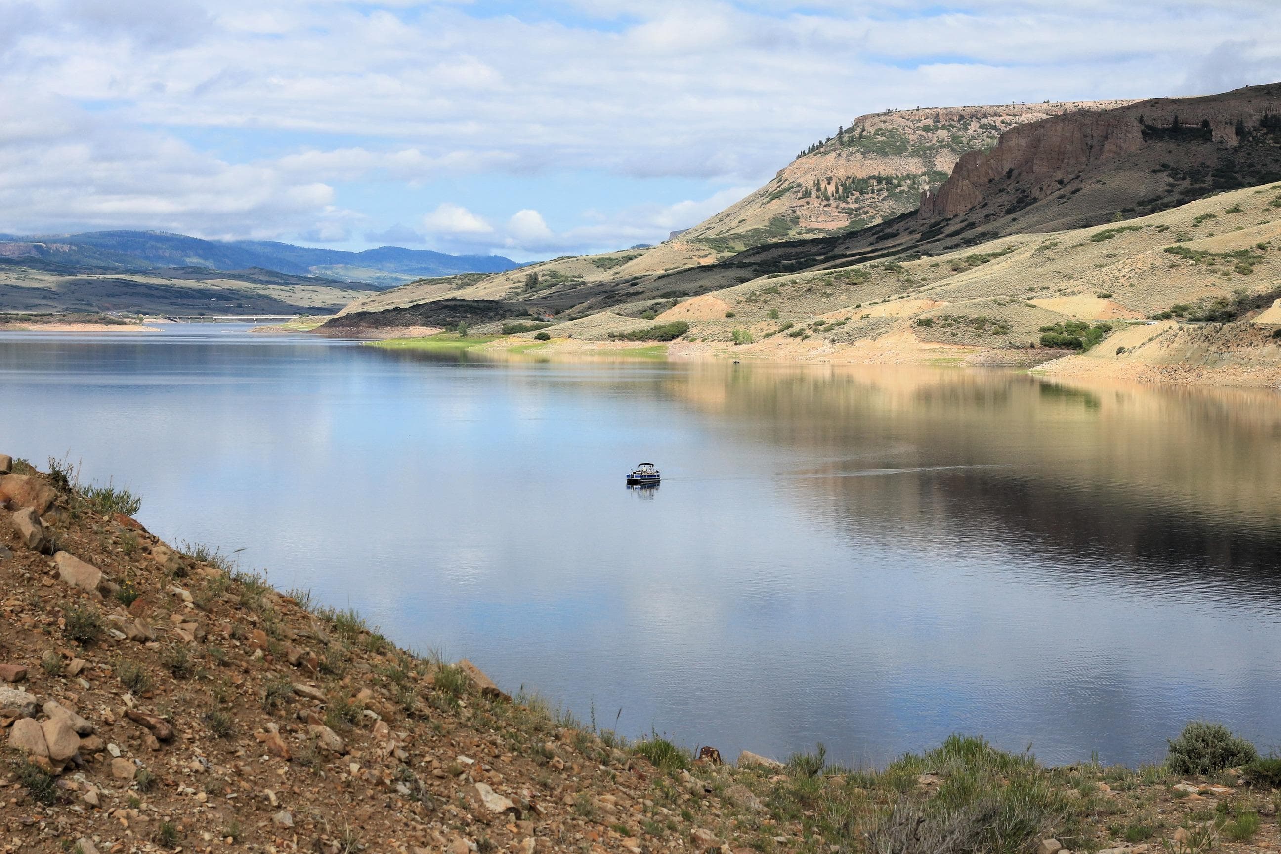
Official NPS alert →Three reservoirs and surrounding lands make up this recreation area in western Colorado. It is a landscape of tradeoffs; natural and human made features exist together. Geologic wonders are abundant from the sagebrush shrublands to forests. Visitors can experience the park year-round on both land and water.
Activities
Topics
No entrance fee.
Hours & seasons
Open 24 hours per day, 365 days a year.
Generally open:
winterspringsummerfallHours are reported by the park — verify before you go.
📞 9706412337
✉ cure_info@nps.govConditions
Quietest months (fewer crowds): Jan, Feb, Mar, Dec
Typical crowds: moderate
Weather now: ☀️ Clear, 63°F
☁️ 67°/42°
☁️ 71°/45°
🌦️ 71°/44°
Typical monthly recreation visits · NPS avg 2023–2025 — orange months are the quietest by crowds.
Quietest months
Relative crowds by month — lighter is quieter; ringed months are the calmest by crowds.
Jan
8%
Feb
9%
Mar
12%
Apr
15%
May
39%
Jun
78%
Jul
100%
Aug
74%
Sep
100%
Oct
35%
Nov
26%
Dec
11%
Log a sky reading
Measured the sky with an SQM meter or app? Add your reading (16 = city glow … 22 = pristine). Opt in under “Travelers like you” to share it on the community leaderboard.
Live conditions
Elk Creek Webcam ↗active
Lake Fork Webcam ↗active
Things to do
Hike Pine Creek Trail · 1.3 mi
Boat on Morrow Point Reservoir · 12 mi
🔴 Boat on Crystal Reservoir
Hike Mesa Creek Trail · 9 mi
Hike Neversink Trail · 5 mi
Hike Curecanti Creek Trail · 2 mi · Elevation change is more than 900 ft (274 m). Allow 2-3 hours for this hike.
Fishing at Curecanti
🔴 Drive East Portal Road · Allow 1-2 hours for a leisurely tour.
Campgrounds
Cimarron Campground · 21 sites
Dry Gulch Campground · 9 sites
East Elk Creek Group Campground ↗ · 1 sites
East Portal Campground ↗ · 15 sites · first-come
Elk Creek Campground ↗ · 155 sites · first-come · hookups · dump station
Gateview Campground · 6 sites · first-come
Lake Fork Campground ↗ · 90 sites · first-come · dump station
Ponderosa Campground · 28 sites
Red Creek Campground ↗ · 1 sites
Stevens Creek Campground ↗ · 53 sites · first-come
Visitor centers
Elk Creek Visitor Center
Accessibility
4 accessible campground(s)
1 audio-described place(s)
Reported by the park — verify before you go.
Not an official safety source — always defer to NPS.gov and rangers for life-safety decisions.
By the numbers
A visual read on Curecanti National Recreation Area — its character, trails, sky, and weather.
Park fingerprint
How this park scores across the dimensions travelers care about.
Trail difficulty
Difficulty mix across this park's trails.
Trail profile
Each dot is a trail — distance vs. elevation gain, by difficulty.
3-day forecast
Daily high and low temperatures (°F).
Passport stamps
Mark the stamps you've collected — they show in your memory and along your routes.
🎫 East Portal
🎫 Elk Creek Visitor Center
Places to see
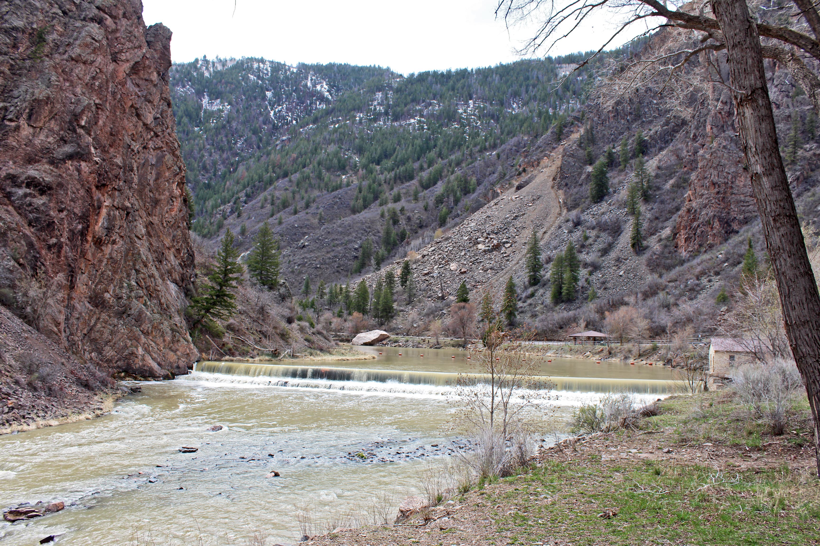
East Portal
audio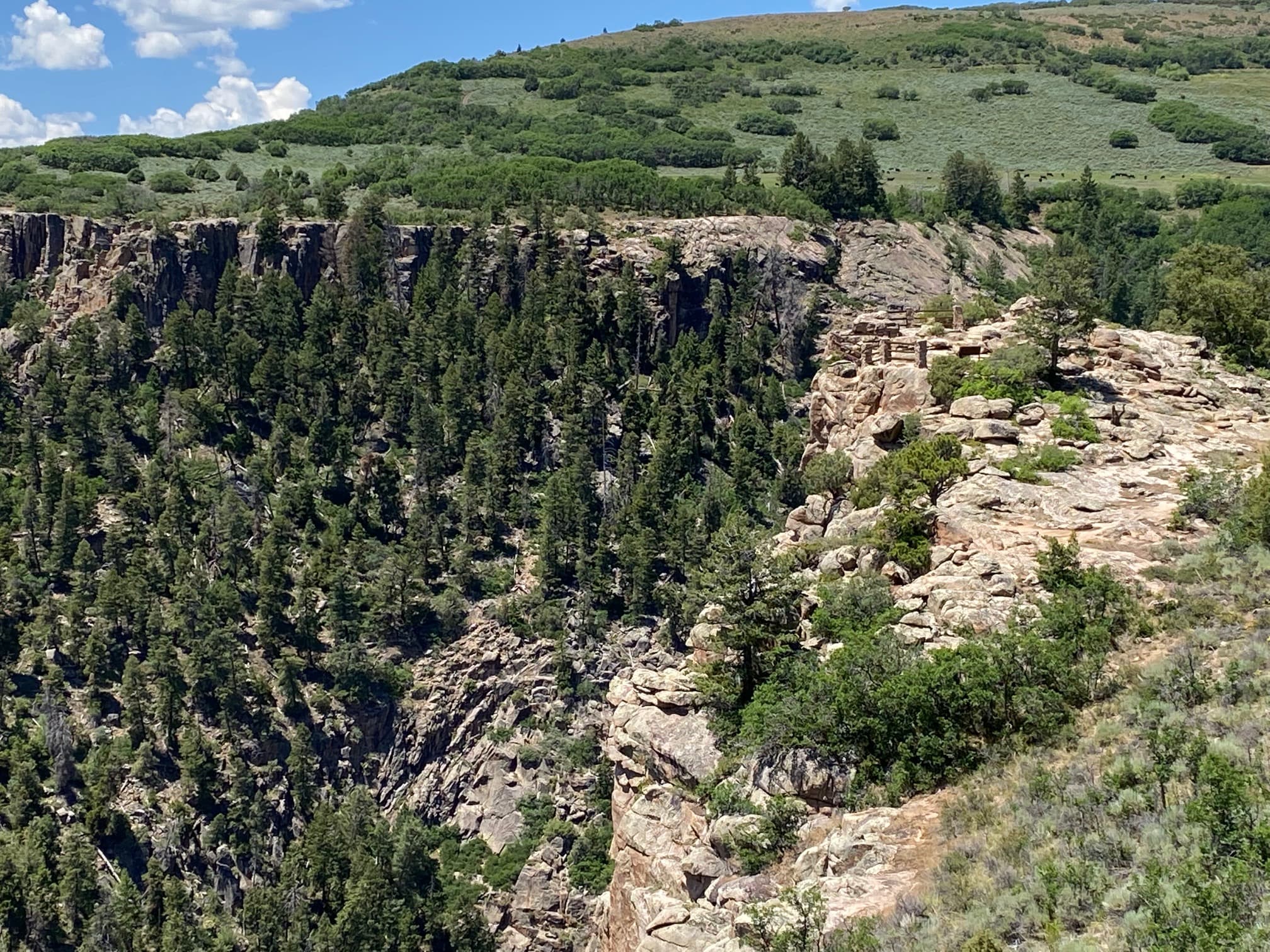
Pioneer Point Overlook
Audio & media
🎧
🎬
🖼
Learn more
In 2021, the National Park Service Aviation Program awarded the Excellence in Mentorship Aviation Award, the Tom Clausing Aviation All Risk (Hazard) Program Award, Aviator of the Year Award, and the Wright Brothers Aviation Safety Award.
When the climate changes enough, the vegetation communities growing in any given place will also change. Under an expanded bimodal climate zone, some plant communities in western national parks are more likely to change than others. National Park Service ecologists and partners investigated the future conditions that may force some of this change. Having this information can help park managers decide whether to resist, direct, or accept the change.
The results of a recent study may help land managers to prioritize grassland conservation and restoration efforts. Park managers can’t do much about climate, but with the right information, they can make choices based on how different grassland communities behave in different soil types. In this study, cool-season grasses showed more resilience to drought than warm-season grasses.
Multiple species of blue green algae, also known as cyanobacteria, are native to our area of Colorado and are an essential part of the food web in Blue Mesa. In fact, cyanobacteria showed up about 2 billion years ago on the planet. Even though it has been around for billions of years, more and more lakes around the World are seeing bigger and more frequent blooms - Blue Mesa Reservoir included.
Byron Bryant's expedition continued exploration of the "Grand Canyon of the Gunnison" for railroad opportunities during the winter of 1883 and 1884. Their survey helped advise the Denver & Rio Grande Western Railroad to not continue through Black Canyon.
Across the US, changes in water availability are altering which plants grow where. These changes are evident at a broad scale. But not all areas experience the same climate in the same way, even within the boundaries of a single national park. A new dataset gives park managers a valuable tool for understanding why vegetation has changed and how it might change in the future under different climate-change scenarios.
Connie Rudd's career with the National Park Service began as a seasonal ranger in 1979. Her continual desire to learn propelled her to various sites and positions in interpretation, planning, and management until 2014, when she retired as Park Superintendent. In this Spotlight article, Rudd reflects on her career path, changes in interpretation, and being in upper management as a woman. Part of "Women’s Voices: Women in the National Park Service Oral History Project."
Dinosaur fossils have been discovered at or are associated with at least 27 NPS units. Geographically, their finds are concentrated in the parks of the Colorado Plateau, but they have been found from central Alaska to Big Bend National Park in Texas to Springfield Armory National Historic Site in Massachusetts. The most famous site is the Dinosaur Quarry of Dinosaur National Monument, but a rush of new finds since the 1970s has greatly expanded our knowledge.
Ranger School
Park-grounded courses you can learn with the Ranger.
How Curecanti National Recreation Area connects
This park's activities, topics, location, and on-the-ground places — one hop in the graph. Drag to explore; click an activity, topic, or related park to follow it.
Park
Activity
Topic
State
Campground
VisitorCenter
PassportStamp
Trail
ThingToDo
Alert
Similar parks
Share activities & topics with Curecanti National Recreation Area.