Black Canyon Of The Gunnison National Park
Colorado
Tonight
🌔 74% moon
8.9 h fully dark
Hikes
Easy–Strenuous
🟢 🔴
Crowds
low
Open today
Open
North Rim: closed Nov 25 – Apr 29
Entrance
$30
Stage 1 Fire Restrictions in Effect
Until further notice, the following are prohibited in all park areas: (1) Building, maintaining, attending, or using wood or charcoal fires anywhere but within campground- or picnic area-provided grills or grates. (The use of gas grills and camp stoves is permitted.) (2) Smoking is prohibited, except within an enclosed vehicle or while stopped in an area at least three feet in diameter that is barren of all flammable materials. (3) Discharging or using any kind of fireworks or other pyrotechnic devices.
Official NPS alert →Cashless Operations
Black Canyon's operations are now cashless. South Rim Campground is by reservation only via Recreation.gov. East Portal & North Rim campground sites are first-come first-served and accept payment using Scan & Pay through Recreation.gov's mobile app.
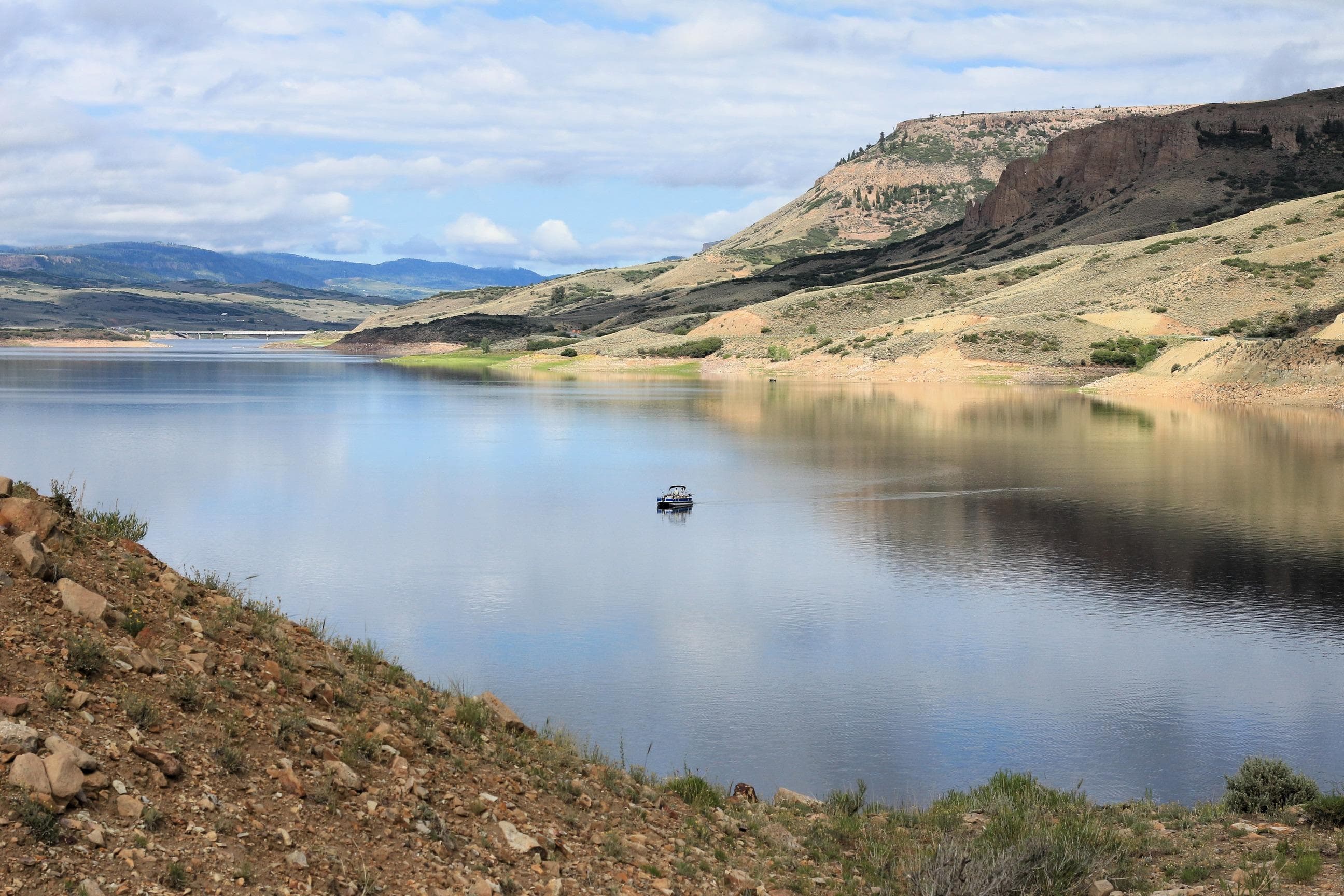
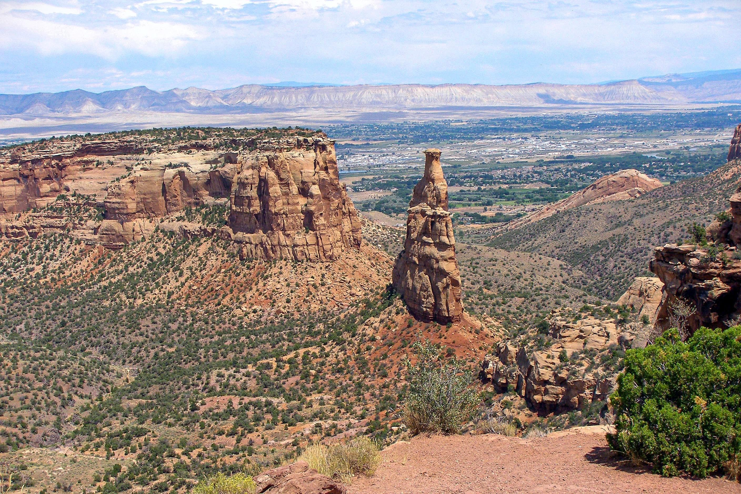
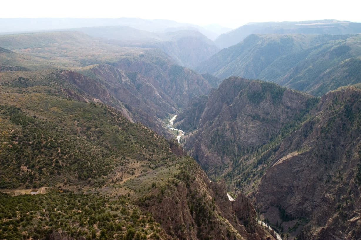
Official NPS alert →Big enough to be overwhelming, yet still intimate enough to feel the pulse of time. Come see some of the steepest cliffs, oldest rock, and craggiest spires in North America. Forces of nature and the Gunnison River sculpted this canyon over two million years. The result is a vertical wilderness of rock, water, and sky.
Activities
Topics
Entrance fees
$30.00 — Entrance - Private Vehicle
$25.00 — Entrance - Motorcycle
$15.00 — Entrance - Per Person
$25.00 — Commercial Entrance - Sedan
$40.00 — Commercial Entrance - Van
$40.00 — Commercial Entrance - Mini-bus
$100.00 — Commercial Entrance - Motor Coach
$30.00 — Entrance - Non-commercial Groups
$15.00 — Entrance - Non-commercial Groups
Hours & seasons
The South Rim is open 24 hours a day.
⚠ North Rim: closed Nov 25 – Apr 29
Generally open:
winterspringsummerfallHours are reported by the park — verify before you go.
📞 970-641-2337
✉ blca_info@nps.govConditions
Quietest months (fewer crowds): Jan, Feb, Mar, Dec
Typical crowds: low
Weather now: ☀️ Clear, 60°F
☁️ 70°/48°
☁️ 74°/51°
🌦️ 76°/53°
Typical monthly recreation visits · NPS avg 2023–2025 — orange months are the quietest by crowds.
Quietest months
Relative crowds by month — lighter is quieter; ringed months are the calmest by crowds.
Jan
19%
Feb
13%
Mar
17%
Apr
21%
May
66%
Jun
100%
Jul
80%
Aug
74%
Sep
91%
Oct
63%
Nov
24%
Dec
9%
Log a sky reading
Measured the sky with an SQM meter or app? Add your reading (16 = city glow … 22 = pristine). Opt in under “Travelers like you” to share it on the community leaderboard.
Live conditions
Grizzly Ridge ↗inactive
Grizzly Ridge ↗inactive
South Rim Entrance Station ↗inactive
Gunnison Point ↗active
Things to do
Cross-country Skiing at Black Canyon · 6 mi
Snowshoeing at Black Canyon
Hike Rim Rock Trail - South Rim · 1 mi
🟢 Hike Uplands Trail - South Rim · 9 mi
Stargazing at Black Canyon
🟢 Tour the South Rim Drive · 7 mi · Allow 2 to 3 hours to view all 12 overlooks along the South Rim Drive.
🔴 Hike North Vista Trail - North Rim · 1.6 mi
Hike Deadhorse Trail - North Rim · 2.6 mi
Campgrounds
East Portal Campground · 15 sites · first-come
North Rim Campground · 13 sites · first-come
South Rim Campground ↗ · 88 sites · first-come · hookups
Visitor centers
North Rim Ranger Station
South Rim Visitor Center
Accessibility
2 accessible campground(s)
Reported by the park — verify before you go.
Not an official safety source — always defer to NPS.gov and rangers for life-safety decisions.
By the numbers
A visual read on Black Canyon Of The Gunnison National Park — its character, trails, sky, and weather.
Park fingerprint
How this park scores across the dimensions travelers care about.
Trail difficulty
Difficulty mix across this park's trails.
3-day forecast
Daily high and low temperatures (°F).
Passport stamps
Mark the stamps you've collected — they show in your memory and along your routes.
🎫 North Rim Ranger Station
🎫 North Rim Ranger Station
🎫 South Rim Visitor Center
Places to see
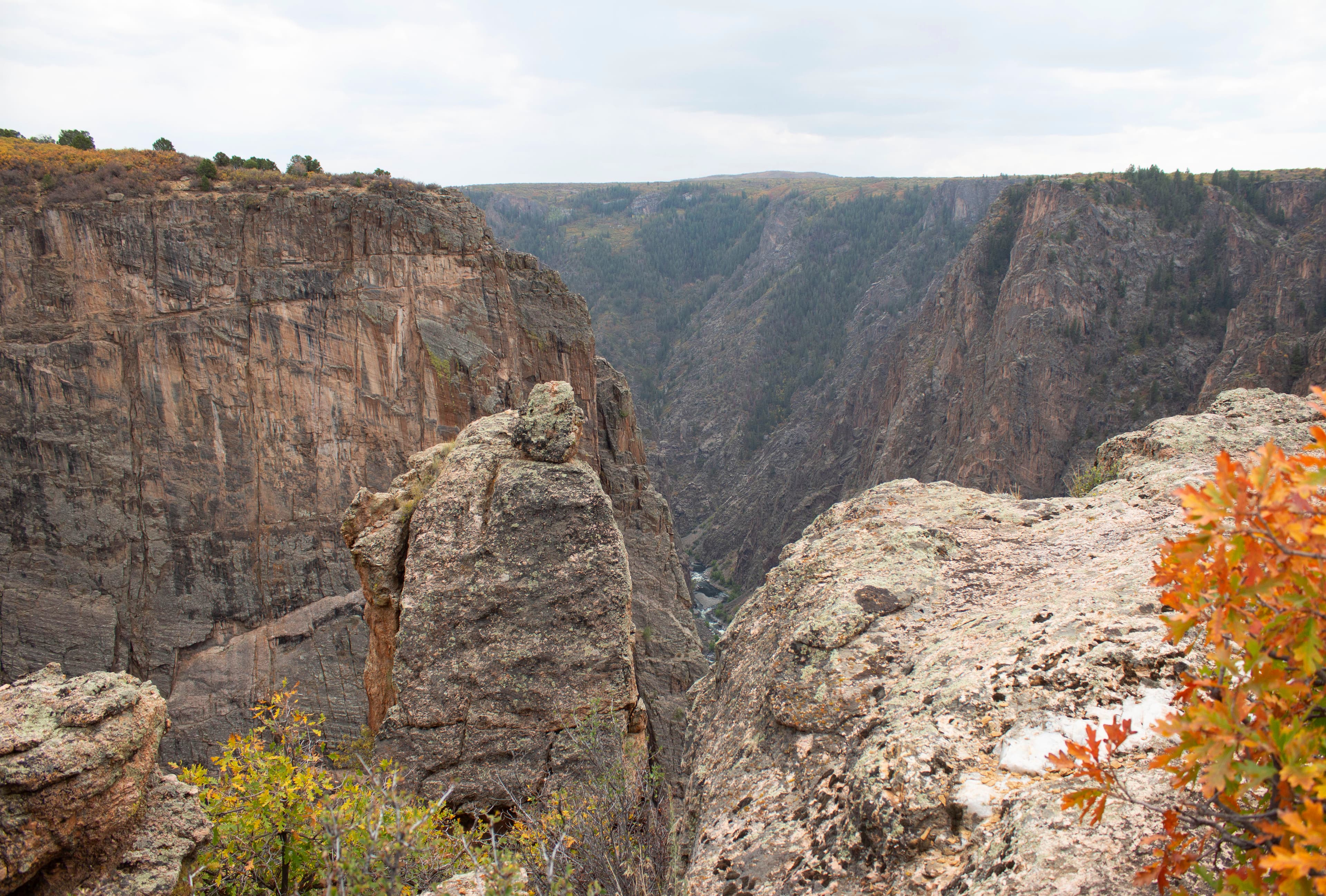
Balanced Rock Overlook
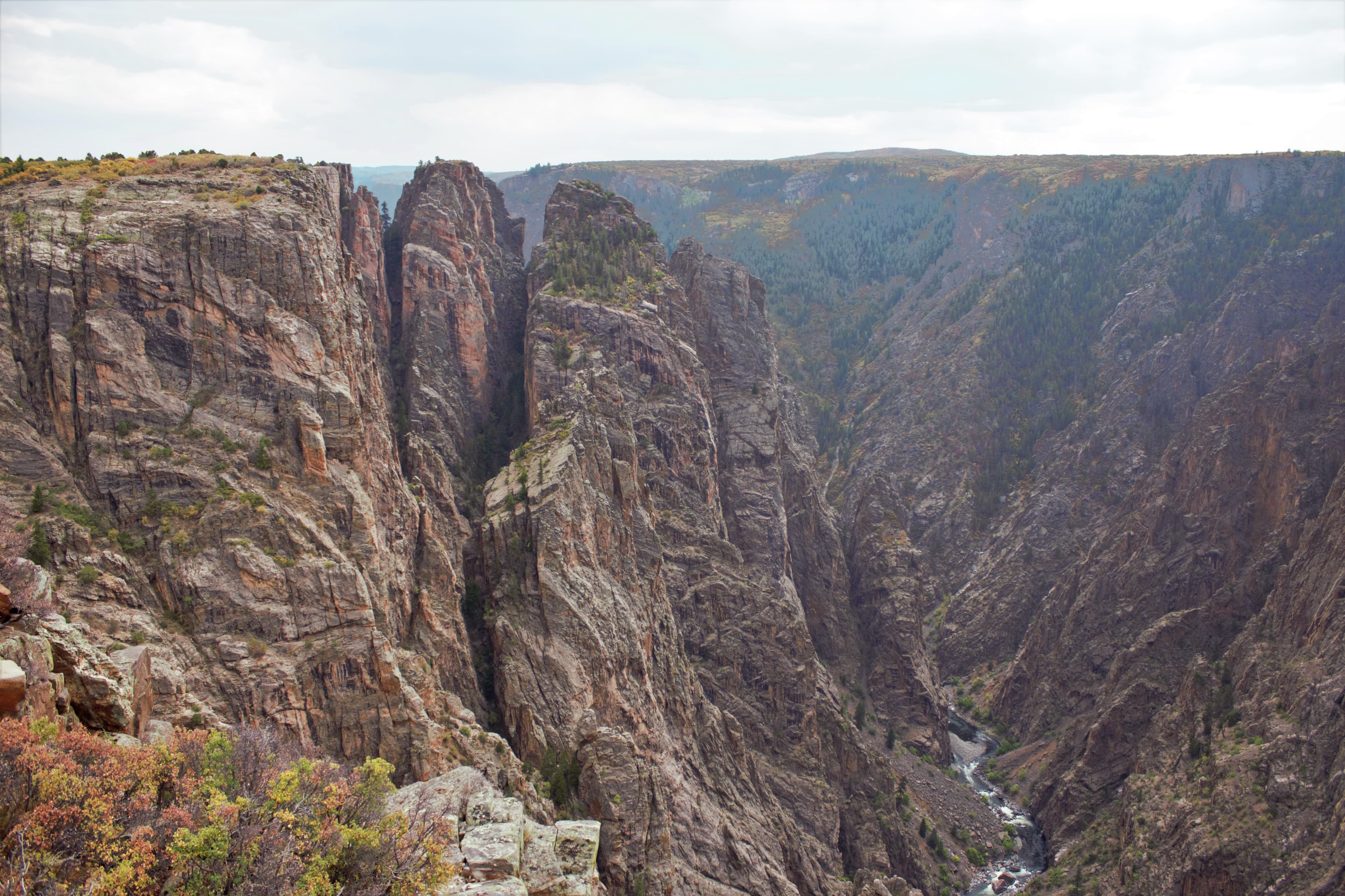
Big Island Overlook
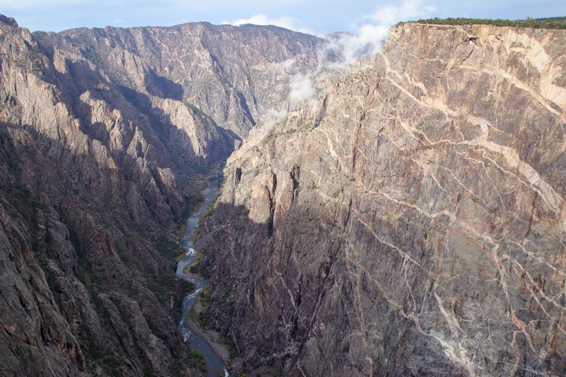
Cedar Point Overlook
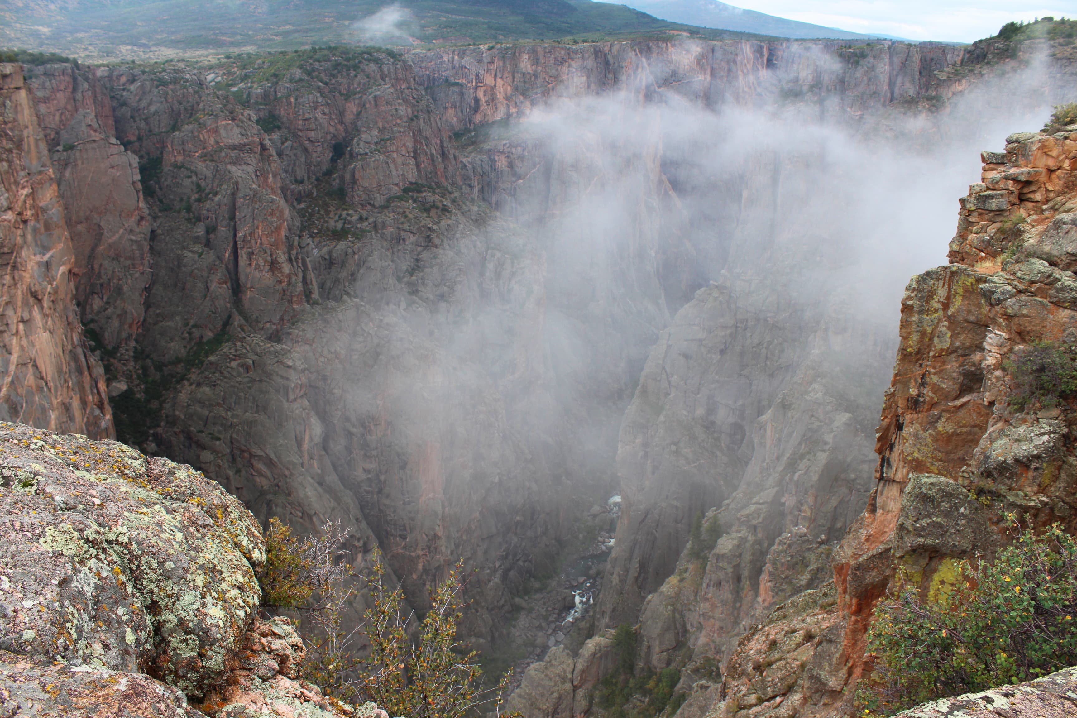
Chasm View Overlook
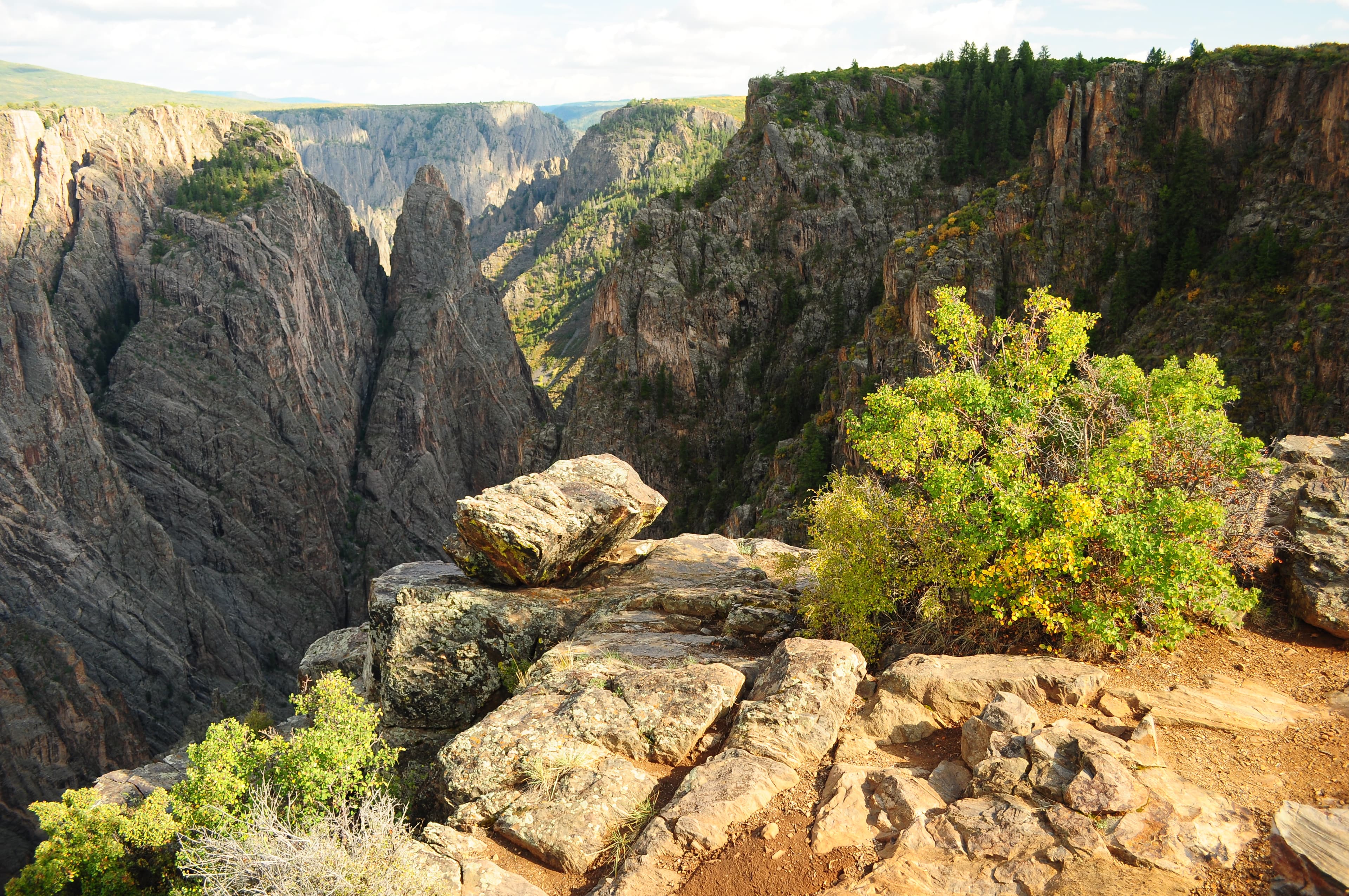
Cross Fissures Overlook
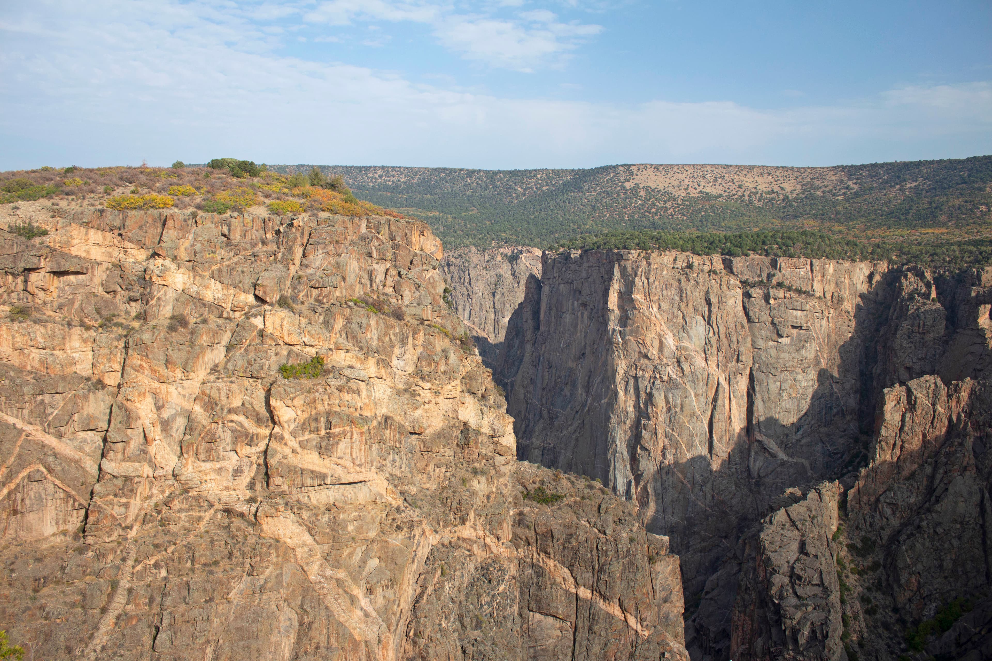
Devil's Lookout Overlook
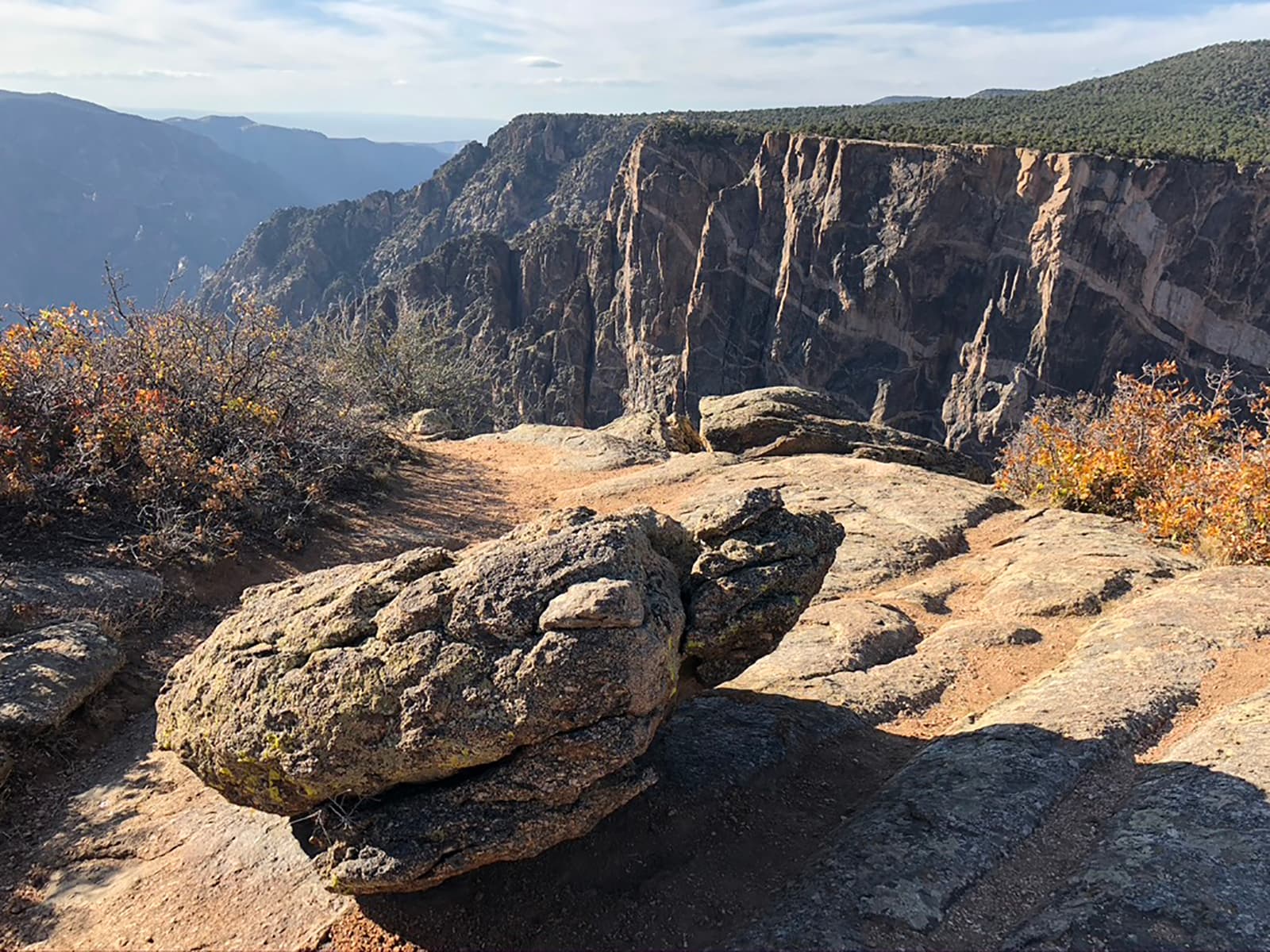
Dragon Point Overlook
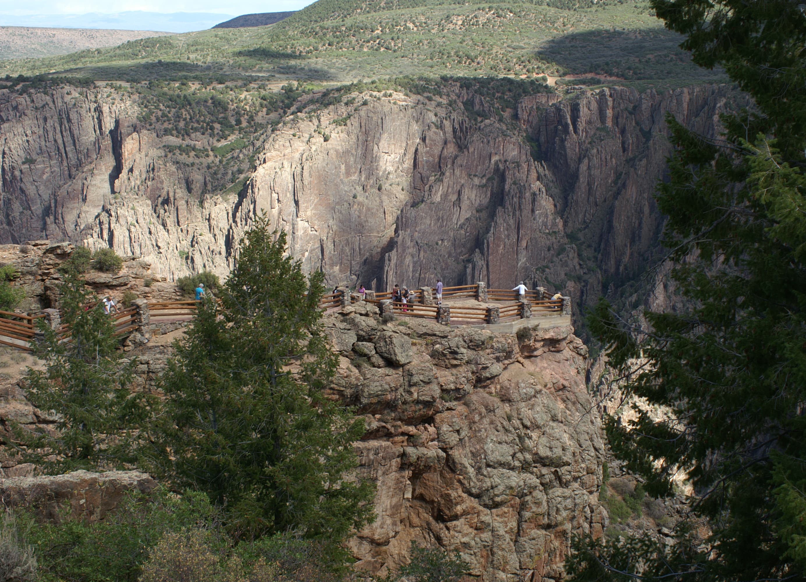
Gunnison Point Overlook
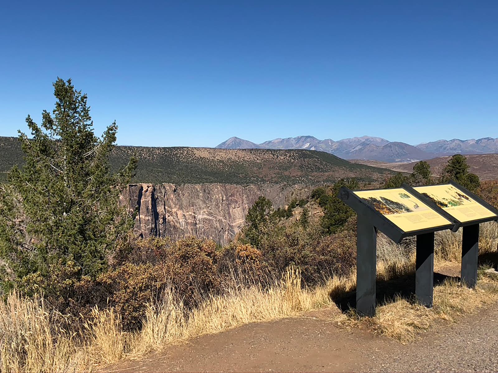
High Point Overlook
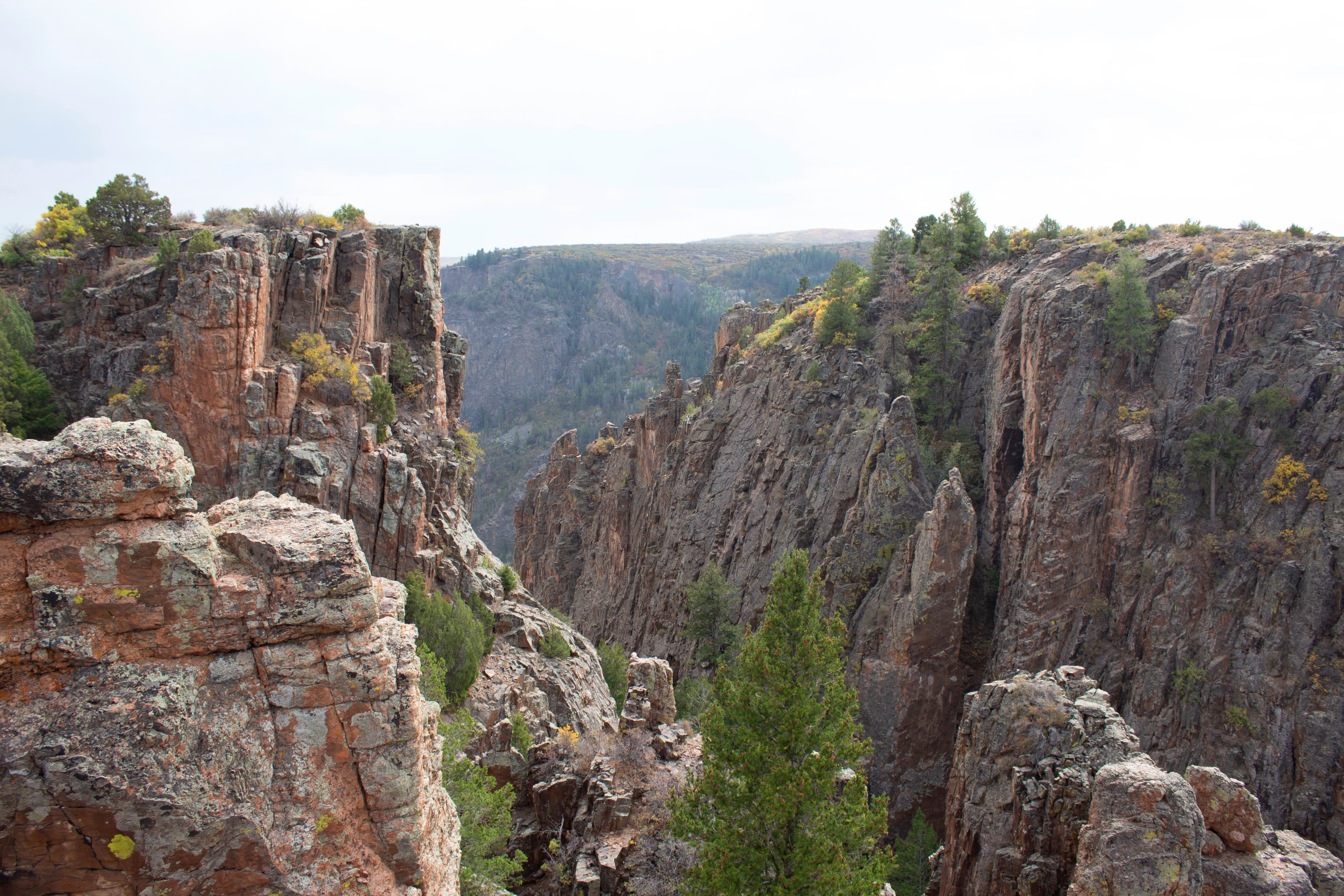
Island Peaks Overlook
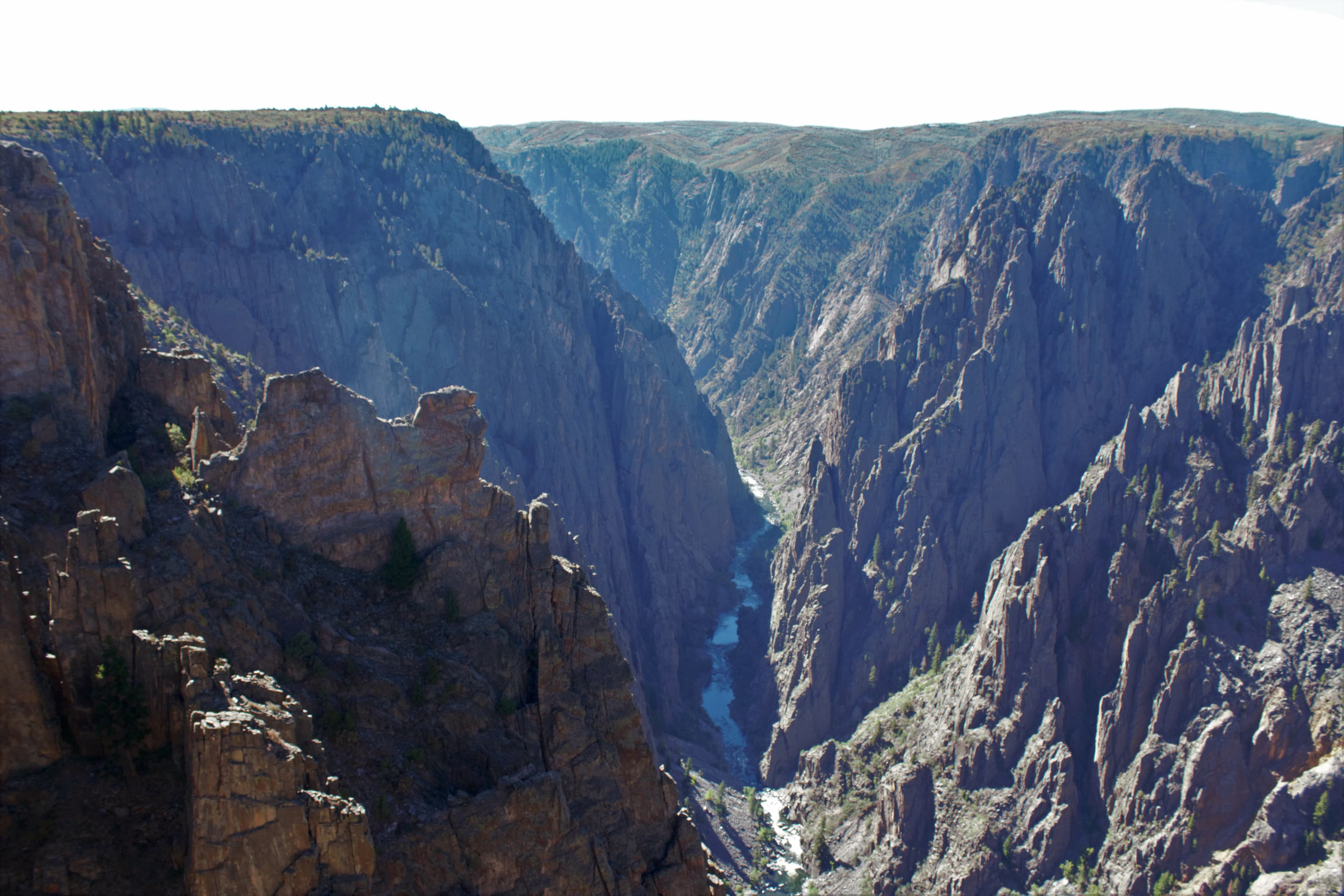
Kneeling Camel Overlook
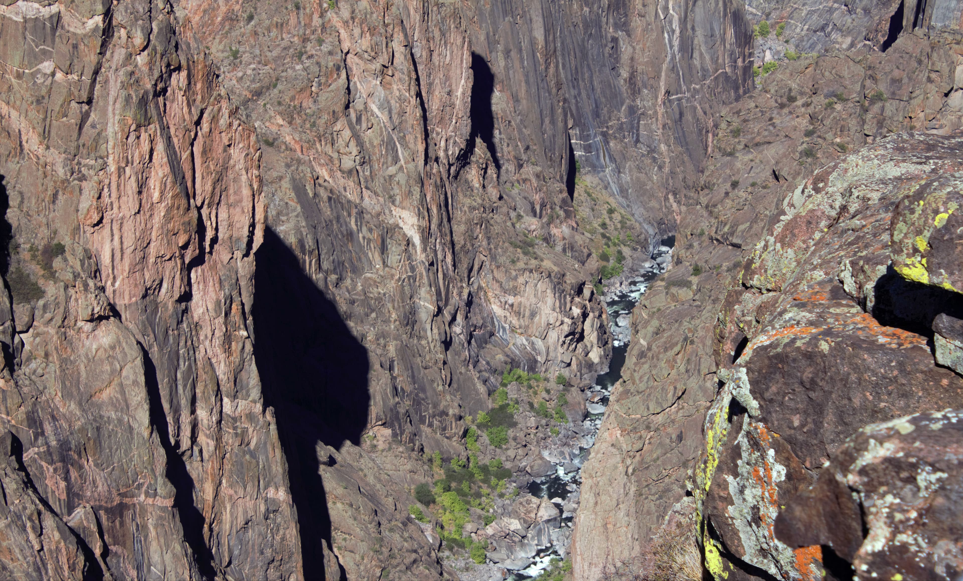
Narrows Overlook
Audio & media
🎧
🎬
🖼
Learn more
In 2021, the National Park Service Aviation Program awarded the Excellence in Mentorship Aviation Award, the Tom Clausing Aviation All Risk (Hazard) Program Award, Aviator of the Year Award, and the Wright Brothers Aviation Safety Award.
When the climate changes enough, the vegetation communities growing in any given place will also change. Under an expanded bimodal climate zone, some plant communities in western national parks are more likely to change than others. National Park Service ecologists and partners investigated the future conditions that may force some of this change. Having this information can help park managers decide whether to resist, direct, or accept the change.
Byron Bryant's expedition continued exploration of the "Grand Canyon of the Gunnison" for railroad opportunities during the winter of 1883 and 1884. Their survey helped advise the Denver & Rio Grande Western Railroad to not continue through Black Canyon.
Across the US, changes in water availability are altering which plants grow where. These changes are evident at a broad scale. But not all areas experience the same climate in the same way, even within the boundaries of a single national park. A new dataset gives park managers a valuable tool for understanding why vegetation has changed and how it might change in the future under different climate-change scenarios.
Connie Rudd's career with the National Park Service began as a seasonal ranger in 1979. Her continual desire to learn propelled her to various sites and positions in interpretation, planning, and management until 2014, when she retired as Park Superintendent. In this Spotlight article, Rudd reflects on her career path, changes in interpretation, and being in upper management as a woman. Part of "Women’s Voices: Women in the National Park Service Oral History Project."
The Black-throated Sparrow edition of Get to Know the Plateau, spotlighting a beautiful bird of the Colorado Plateau. Brought to you by the Southern Colorado Plateau Network.
This finding aid describes the David Halpern Photograph Collection, part of the NPS History Collection.
Lieutenant John W. Gunnison, Lieutenant Edward G. Beckwith, and crew traveled from the Great Plains, over the Rocky Mountains, and into the Tomichi Valley. The expedition continued to follow the Grand River (Gunnison River). The Gunnison Expedition report contains the first official description of the Black Canyon.
How Black Canyon Of The Gunnison National Park connects
This park's activities, topics, location, and on-the-ground places — one hop in the graph. Drag to explore; click an activity, topic, or related park to follow it.
Park
Activity
Topic
State
Campground
VisitorCenter
PassportStamp
Trail
ThingToDo
Alert
Similar parks
Share activities & topics with Black Canyon Of The Gunnison National Park.