Colorado National Monument
Colorado
Tonight
🌓 65% moon
8.8 h fully dark
Hikes
Easy–Strenuous
🟢 🔴
Crowds
low
Open today
Open
Entrance
$25
6/16/26 - 8/6/26 Roadside Vegetation Removal - Expect Short Traffic Delays
Vegetation crews will be removing encroaching plants along Rim Rock Drive to increase roadside visibility for drivers. Crews will start at the west entrance headed eastbound, and traffic will be reduced to one lane in sections where the crew is working. Vehicles may be stopped temporarily, but delays should last no more than 10 minutes at a time.
Lower Monument Canyon Trail Work - Expect Short Delays through August 2026
Monday-Thursday and some Fridays, 7 am to 4:30 pm, mid-May through August, expect trail maintenance on lower Monument Canyon Trail. Work will take place on the lower 2.5 miles of the trail, from the lower trailhead up to the Wedding Canyon intersection at Independence Monument. No closures are currently scheduled, though hikers might experience short delays while traveling through work sites.
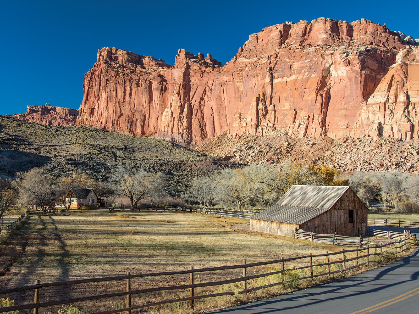
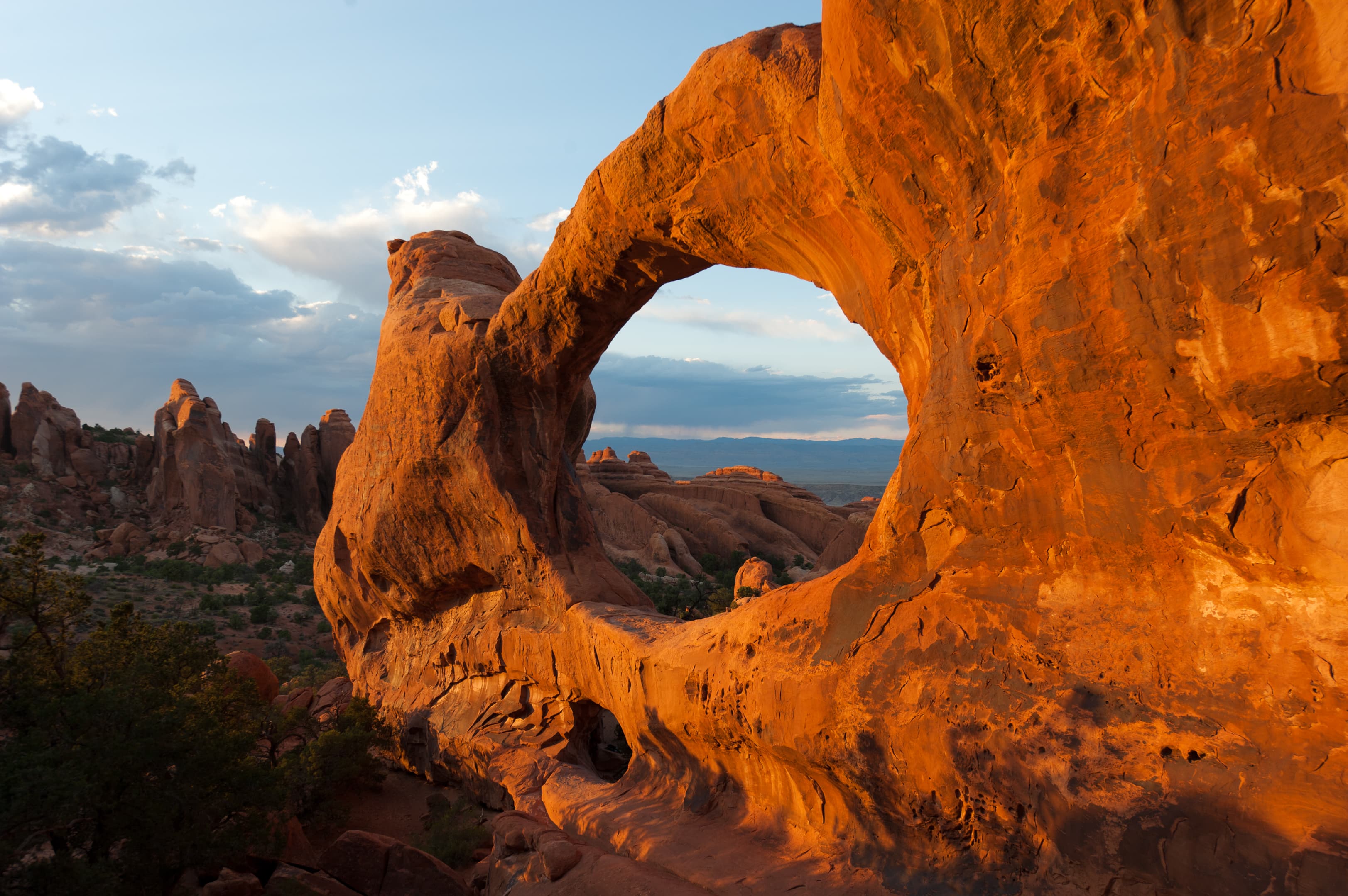
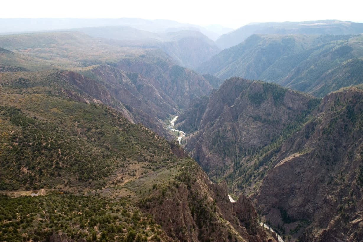
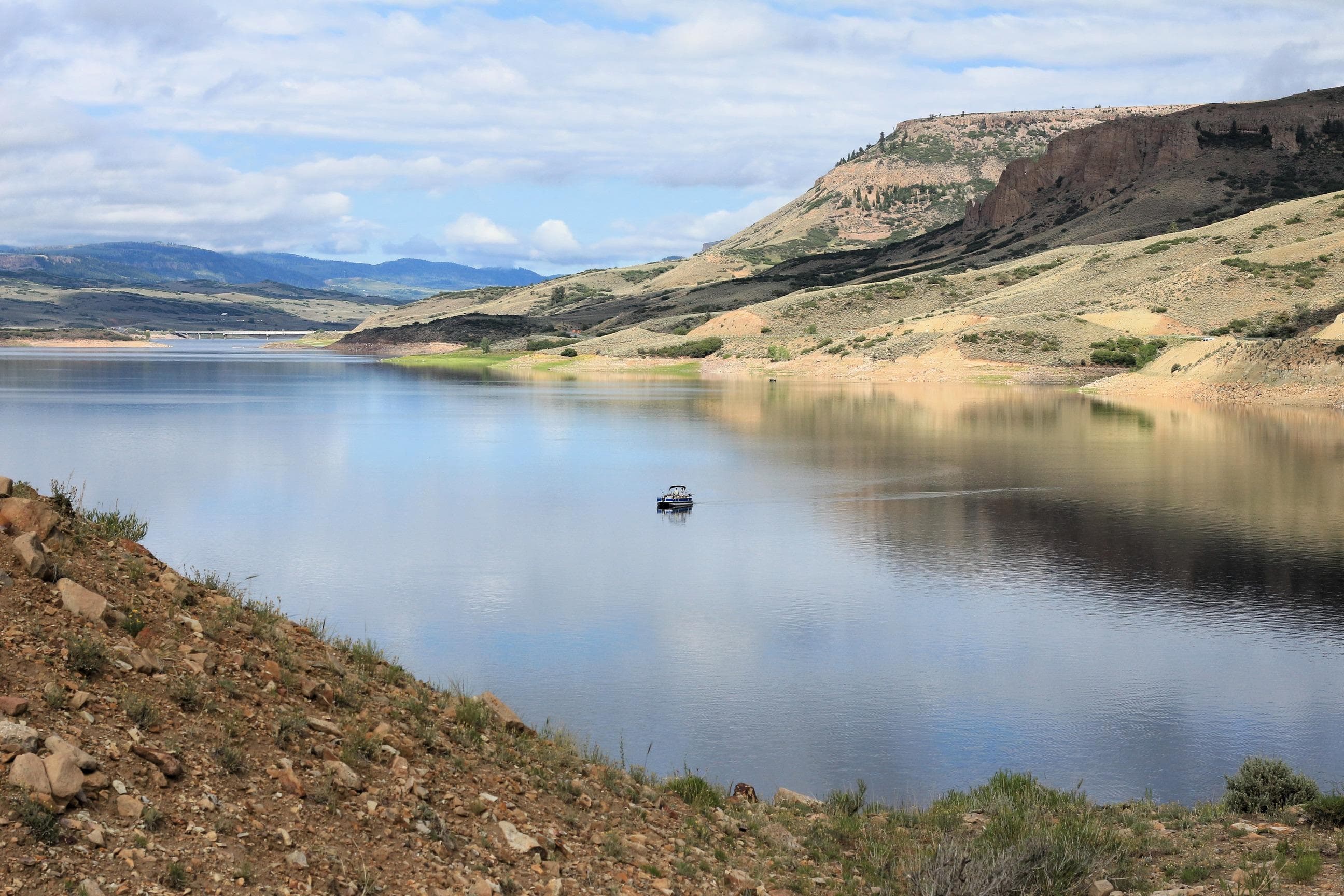
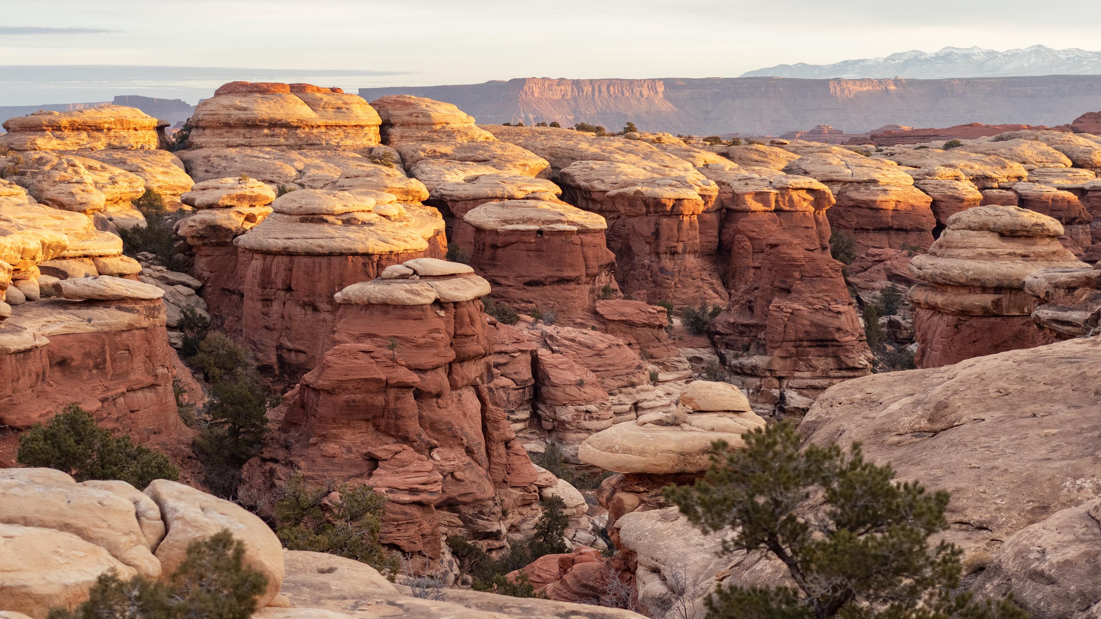
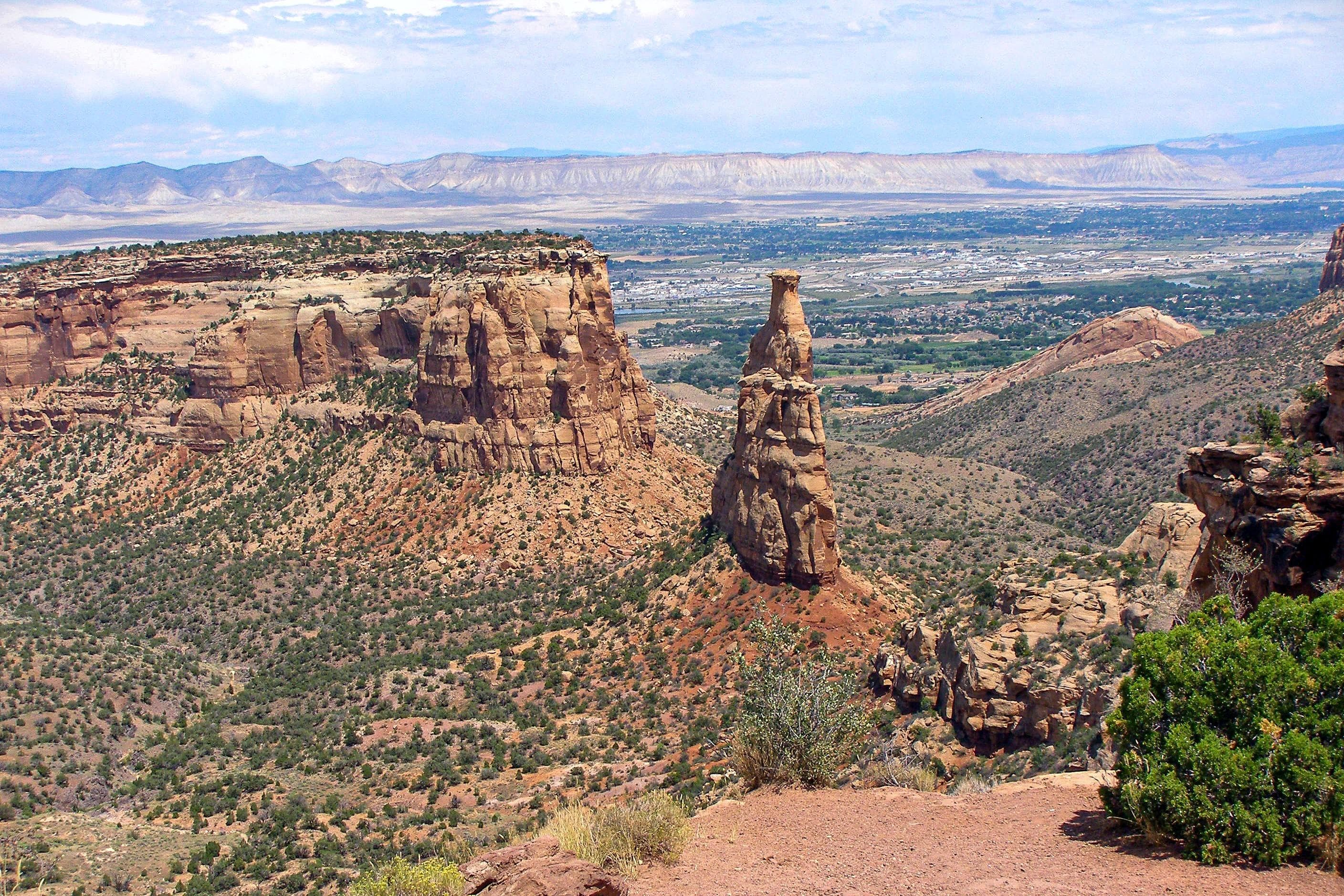
Official NPS alert →Colorado National Monument preserves one of the grand landscapes of the American West. But this treasure is much more than a monument. Towering monoliths exist within a vast plateau and canyon panorama. You can experience sheer-walled, red rock canyons along the twists and turns of Rim Rock Drive, where you may spy bighorn sheep and soaring eagles.
Activities
Topics
Entrance fees
$25.00 — Entrance - Private Vehicle
$20.00 — Entrance - Motorcycle
$15.00 — Entrance - Per Person
$15.00 — Entrance - Non-commercial Groups
$0.00 — Entrance - Education/Academic Groups
$25.00 — Commercial Entrance - Sedan
$40.00 — Commercial Entrance - Van
$40.00 — Commercial Entrance - Mini-bus
$100.00 — Commercial Entrance - Motor Coach
Hours & seasons
The Monument is open 24 hours a day year-round. Rim Rock Road is only closed for poor road conditions (snow, ice, rock fall, etc). For updates on storm or temporary closures call the park hotline at (970) 858-3617 ext 350.
Generally open:
winterspringsummerfallHours are reported by the park — verify before you go.
📞 9708582800
✉ colm_info@nps.govConditions
Quietest months (fewer crowds): Jan, Feb
Typical crowds: low
Weather now: ☀️ Clear, 65°F
☁️ 72°/49°
☁️ 78°/53°
🌦️ 74°/58°
Typical monthly recreation visits · NPS avg 2023–2025 — orange months are the quietest by crowds.
Quietest months
Relative crowds by month — lighter is quieter; ringed months are the calmest by crowds.
Jan
50%
Feb
51%
Mar
70%
Apr
84%
May
100%
Jun
94%
Jul
89%
Aug
91%
Sep
92%
Oct
83%
Nov
63%
Dec
54%
Log a sky reading
Measured the sky with an SQM meter or app? Add your reading (16 = city glow … 22 = pristine). Opt in under “Travelers like you” to share it on the community leaderboard.
Live conditions
Things to do
🟢 Accessible Visit to Colorado National Monument · Rim Rock Drive's 25-35 mile per hour speed limit allows time to take in scenic views of the canyons, mesas, and rock monoliths that make up Colorado National Monument.
🟢 Hiking in Colorado National Monument · 0.25 mi · Short trails to overlooks often will take 15-20 minutes. Longer trails such as the popular Lower Monument Canyon Trail to Independence Monument might take a half a day. The rugged No Thoroughfare Canyon will take all day.
🔴 Road Biking on Rim Rock Drive · 23 mi · 500 ft gain
Travel on Rim Rock Drive · Rim Rock Drive's 25 -35 mile an hour speed limit allows time to take in scenic views of the canyons, mesas and rock monoliths that make up Colorado National Monument. Some overlooks along the route are adjacent to the parking spots, others require a short walk out to the edge of one of the many canyons.
🔴 Monument Canyon Loop Hike · 5 mi · 6140 ft gain · The five-mile loop connecting Monument and Wedding Canyons takes most people about 4-6 hours depending on hiking speed and stops for taking pictures of the scenic canyons. Additional time should be calculated if choosing to hike farther into the canyon along Monument Canyon Trail.
🔴 Hiking from Devils Kitchen Picnic Area · 0.2 mi · 5060 ft gain · Length of your hike depends on which trail you choose, how far you go, and how often you stop to admire the views!
🔴 Hiking from Saddlehorn Visitor Center · 3.8 mi · 5800 ft gain · Length of your hike depends on which trail you choose, how far you go, and how often you stop to admire the views!
Short Hikes in the Monument · The shortest trails might take you less than a half hour to go to the end and back, but stopping to look at the scenery and take photographs will extend your time!
Campgrounds
Saddlehorn Campground ↗ · 80 sites · first-come
Visitor centers
Saddlehorn Visitor Center
Accessibility
32 audio-described place(s)
Reported by the park — verify before you go.
Not an official safety source — always defer to NPS.gov and rangers for life-safety decisions.
By the numbers
A visual read on Colorado National Monument — its character, trails, sky, and weather.
Park fingerprint
How this park scores across the dimensions travelers care about.
Trail difficulty
Difficulty mix across this park's trails.
Trail profile
Each dot is a trail — distance vs. elevation gain, by difficulty.
3-day forecast
Daily high and low temperatures (°F).
People & stories
Figures tied to Colorado National Monument — each spans a cross-park journey.
John Otto
— Colorado National MonumentPassport stamps
Mark the stamps you've collected — they show in your memory and along your routes.
🎫 Saddlehorn Visitor Center
Places to see
Alcove Nature Trail (Colorado National Monument)
audio
Black Ridge Trail (Colorado National Monument)
audio
Bookcliff View Shelter
audio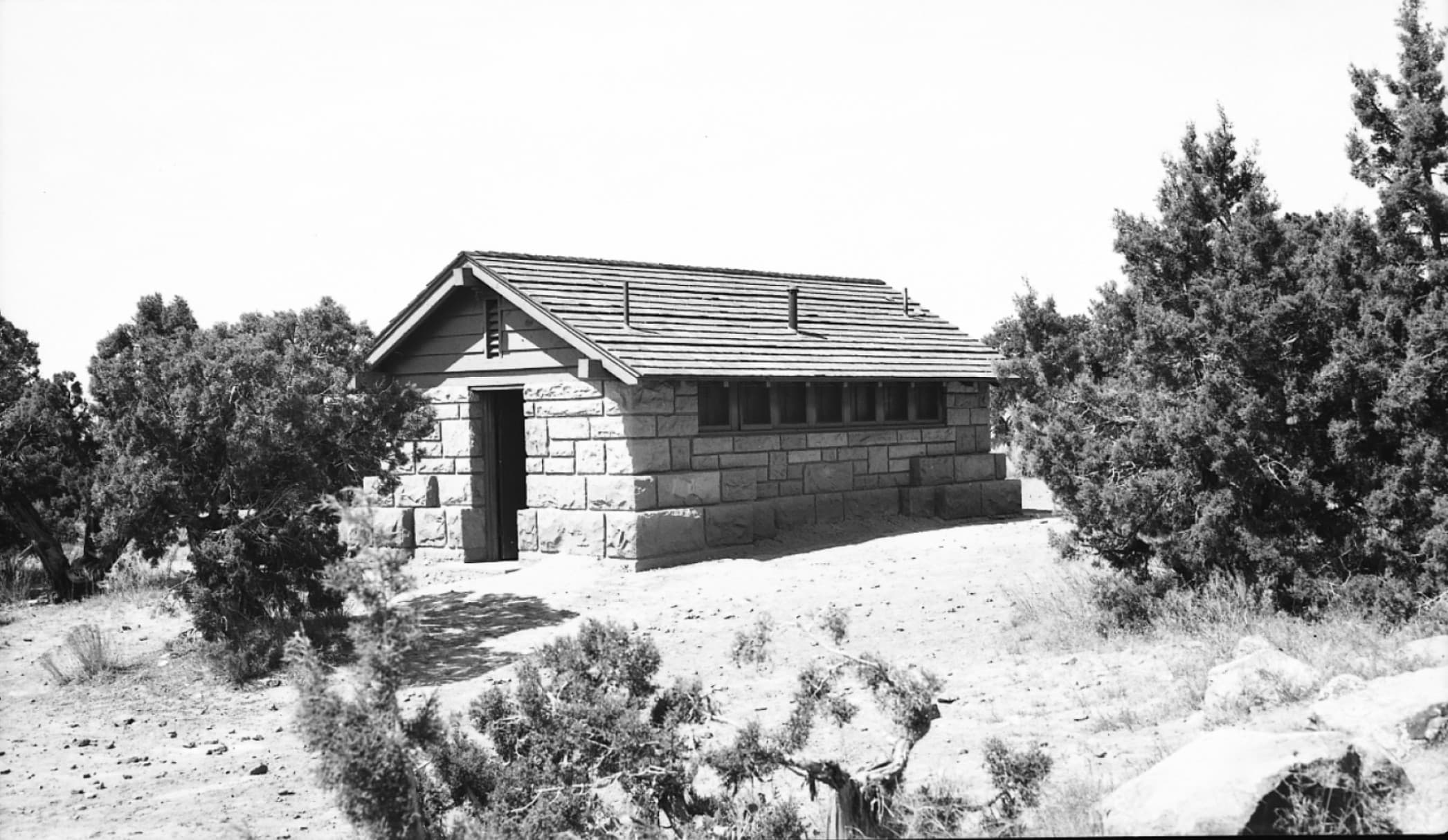
CCC Era Campground C-Loop Restroom
audio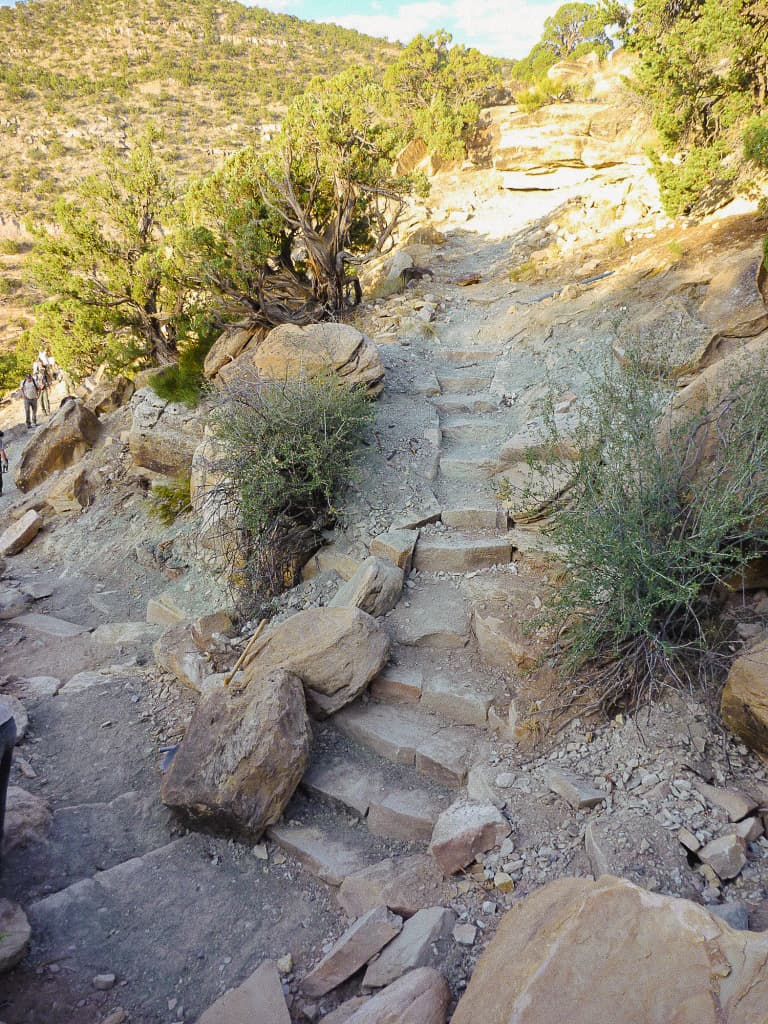
CCC Trail (Colorado National Monument)
audio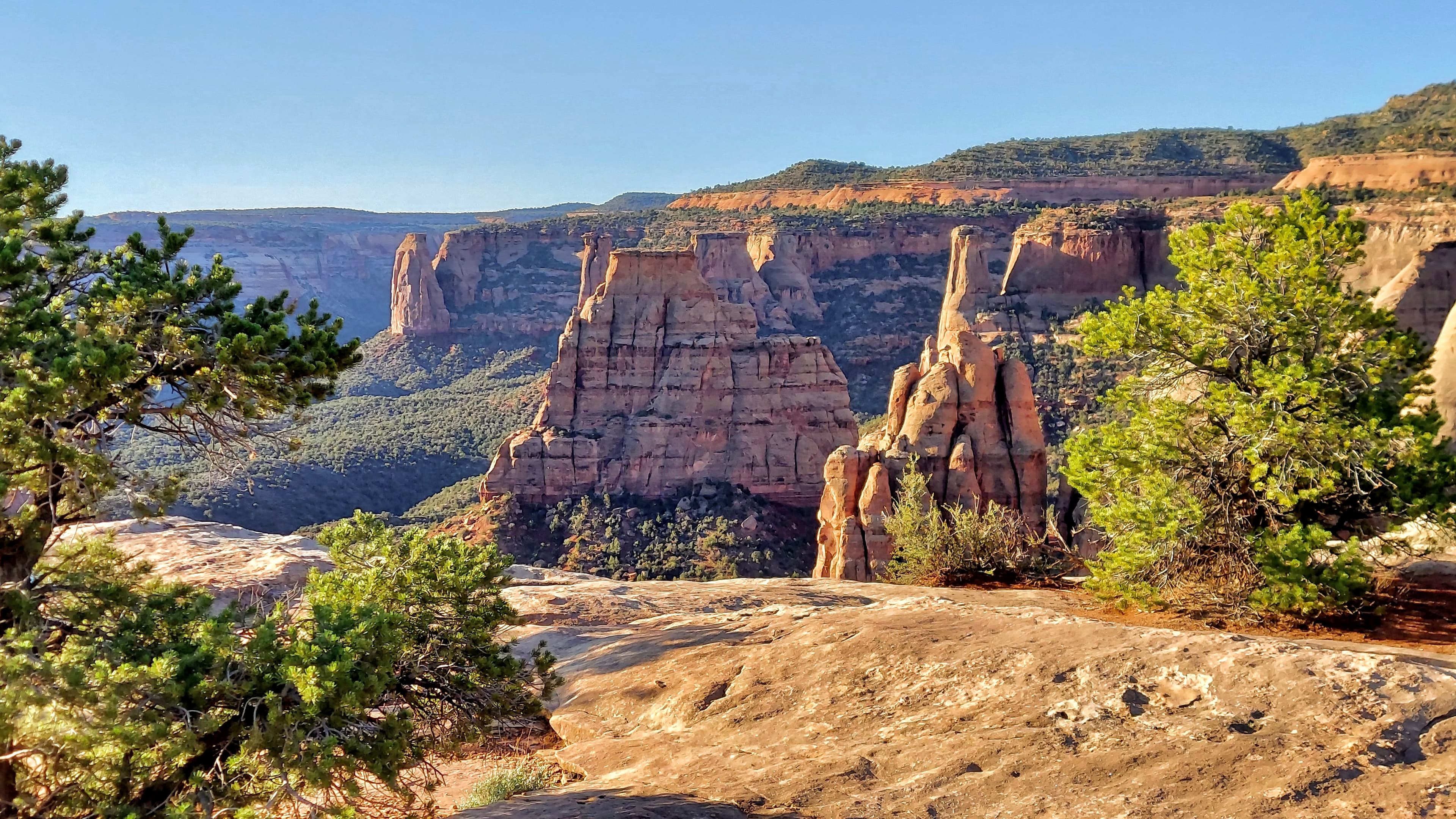
Canyon Rim Trail (Colorado National Monument)
audio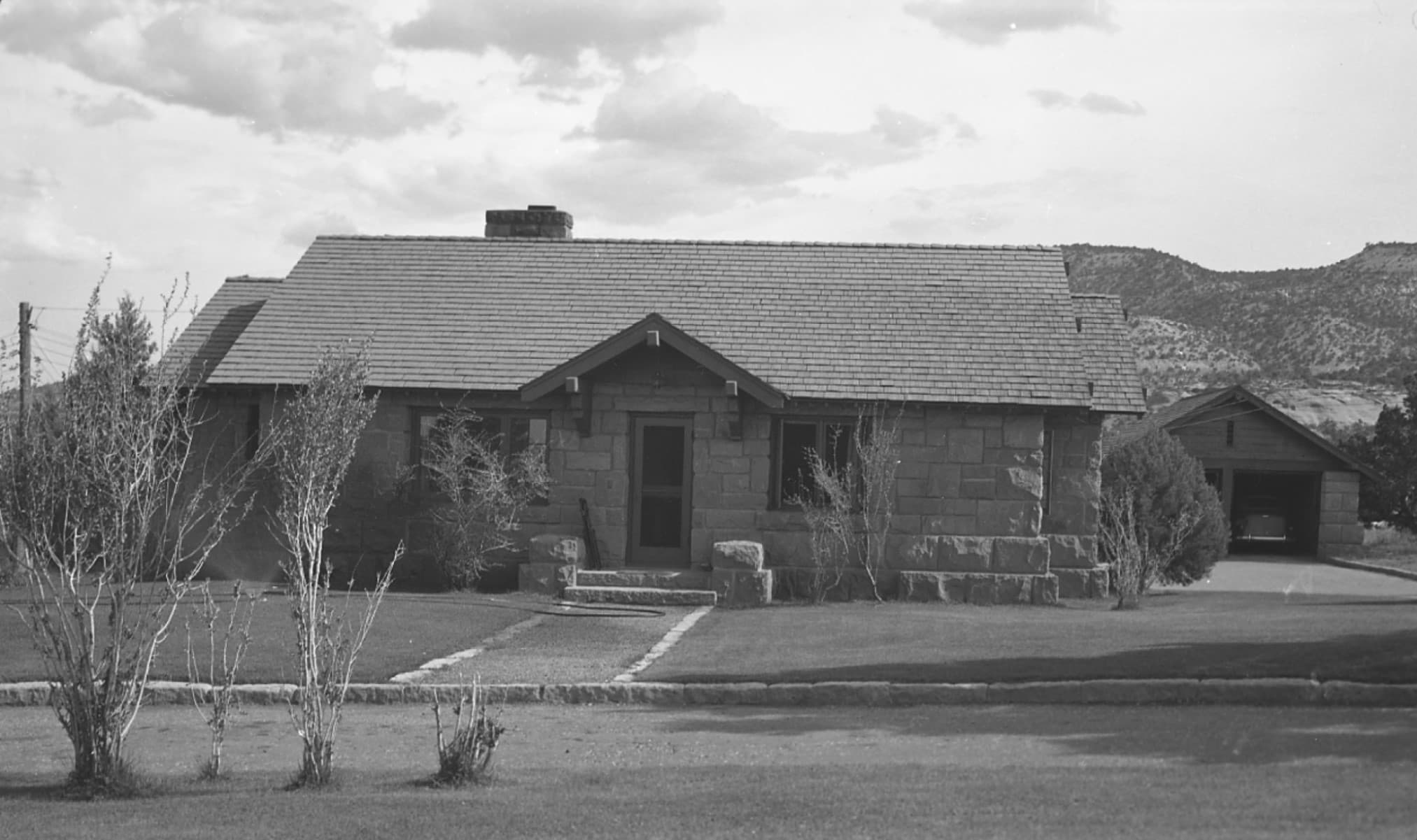
Caretaker's House and Garage
audio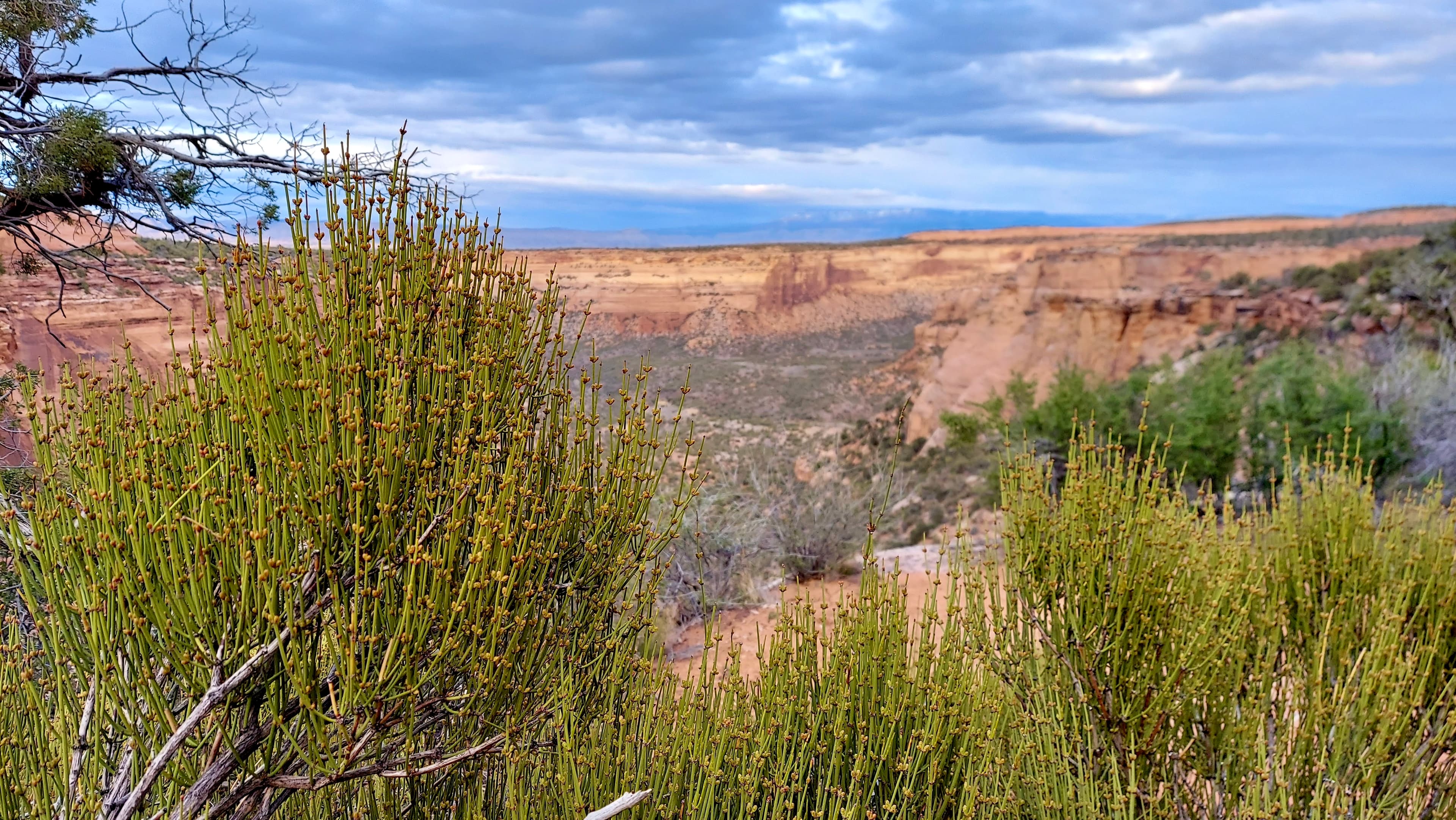
Coke Ovens Trail (Colorado National Monument)
audio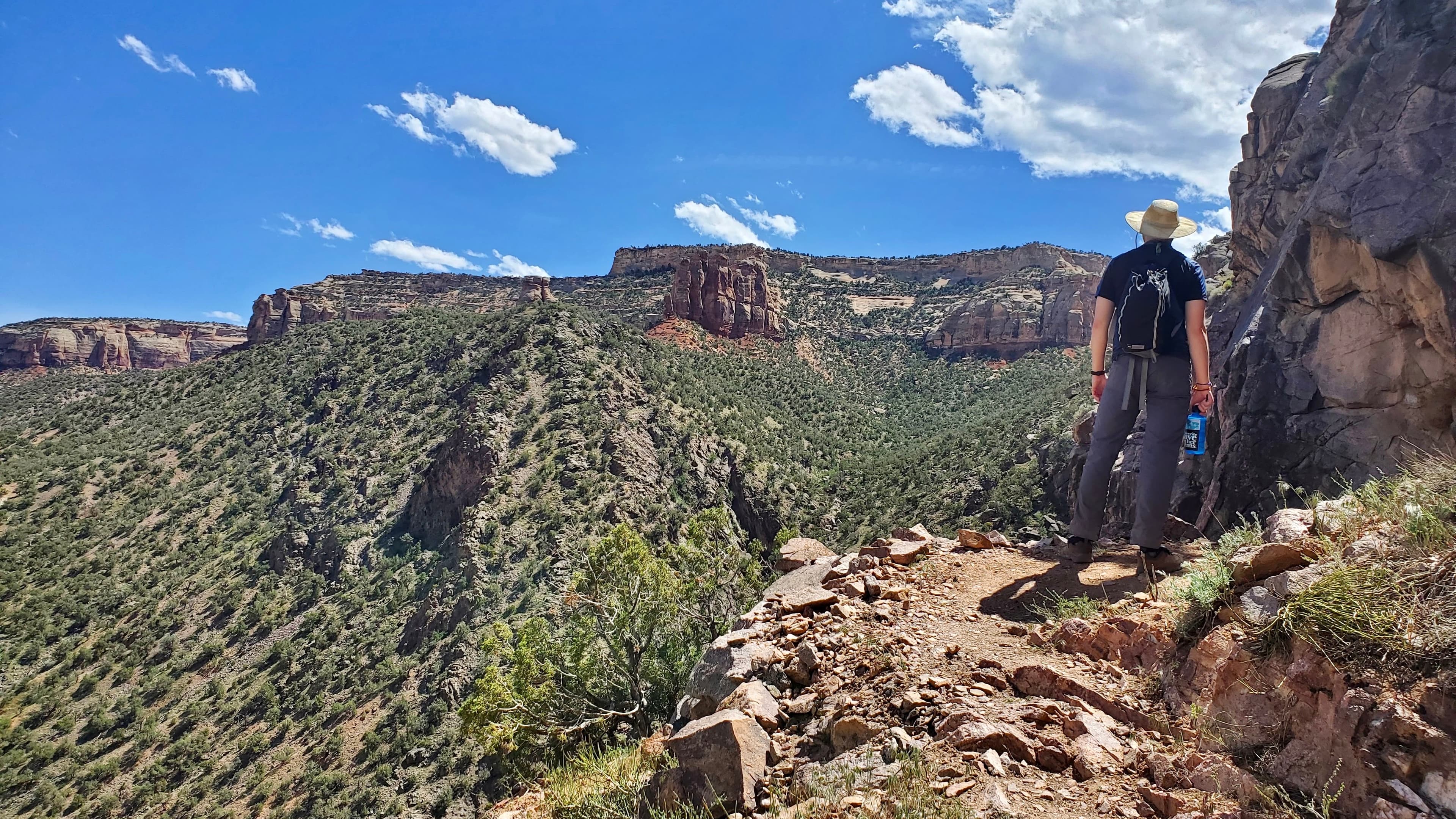
Corkscrew Trail (Colorado National Monument)
audio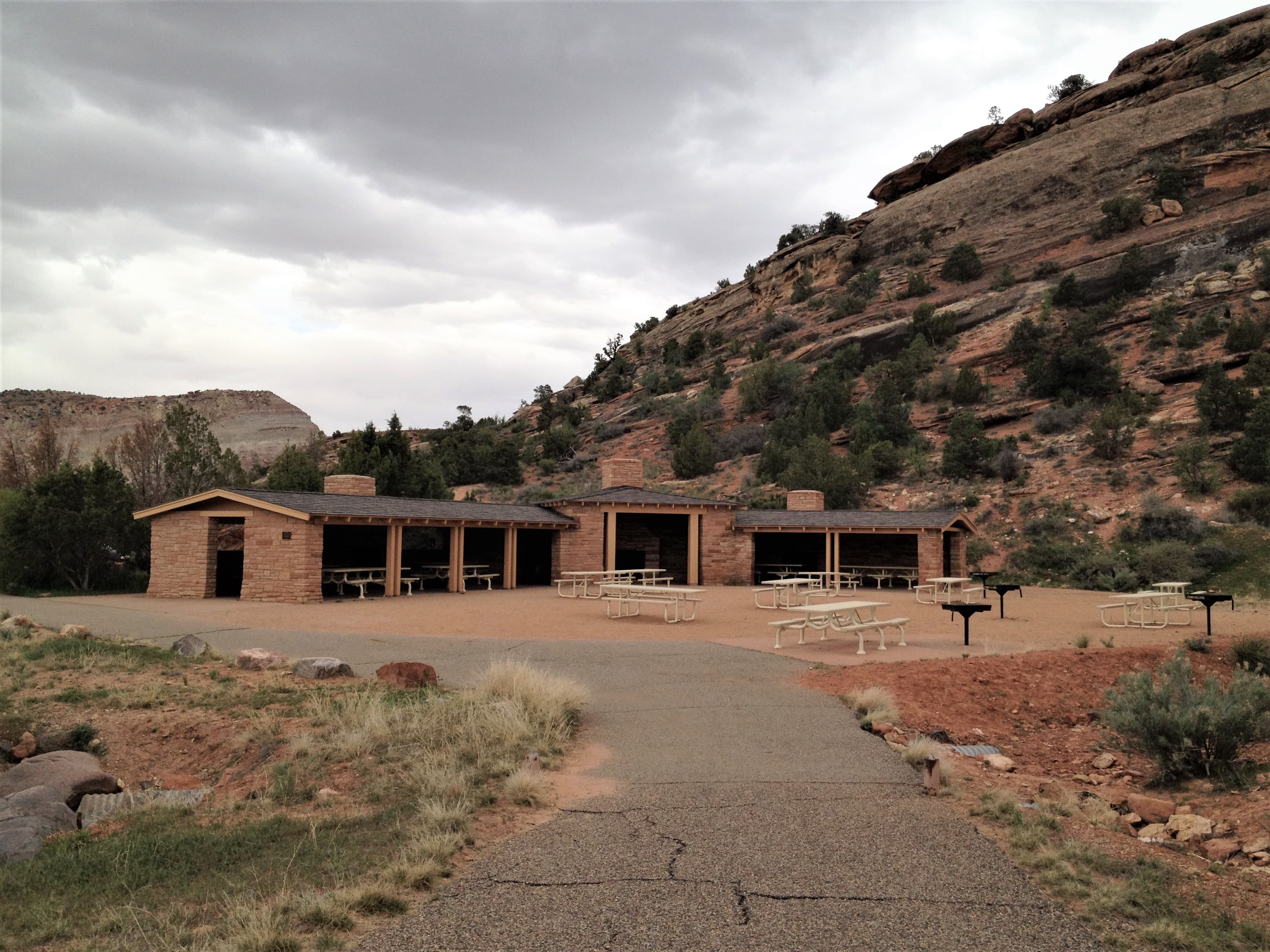
Devils Kitchen Picnic Area
audio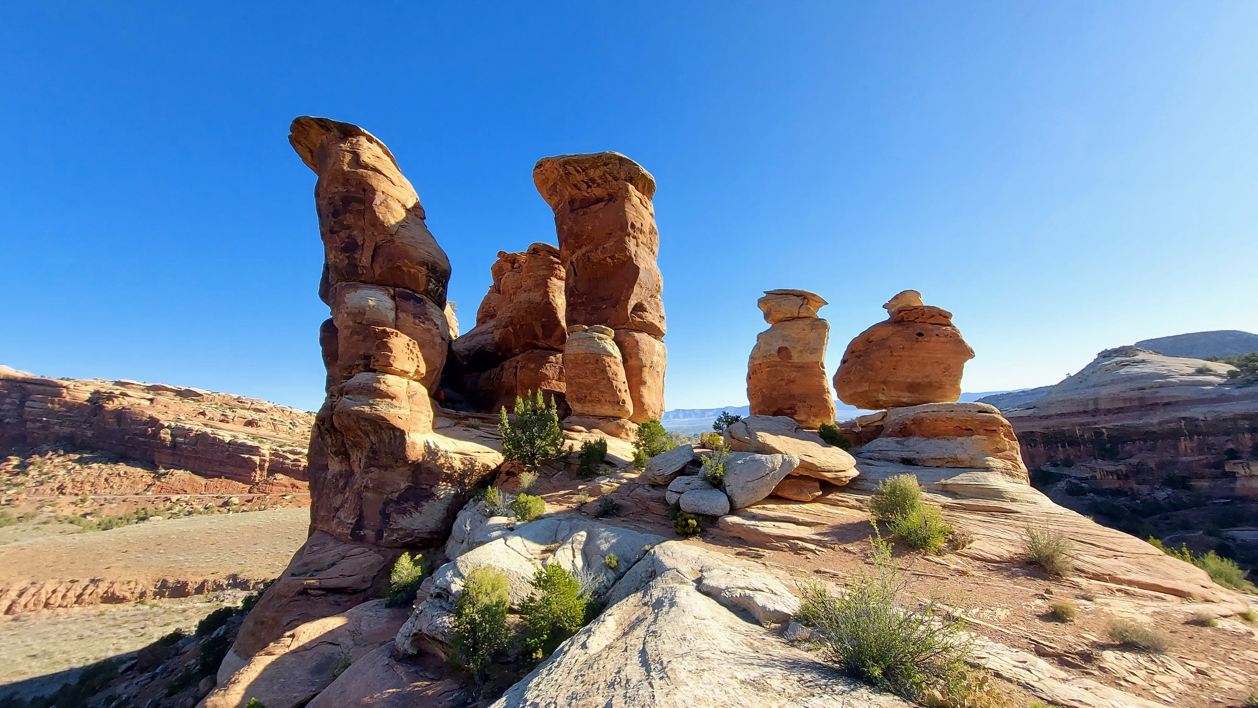
Devils Kitchen Trail (Colorado National Monument)
audio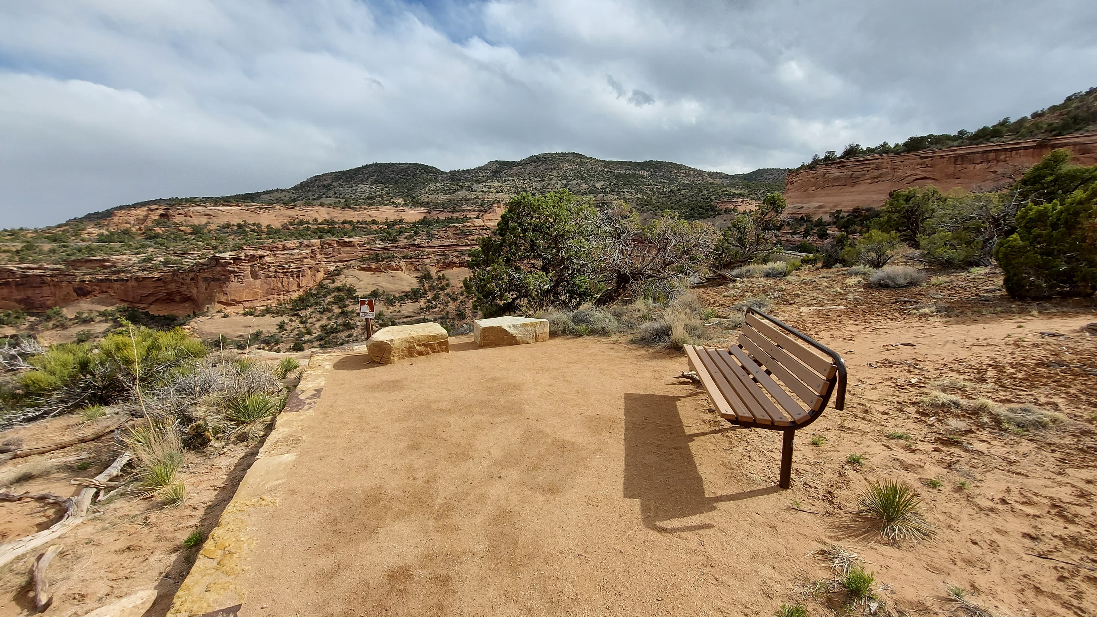
ESCAPE to Colorado National Monument Final Stop
audioAudio & media
🎧
🎬
🖼
Learn more
Seven rangers were awarded with a national or regional 2010 Freeman Tilden Award for excellence in interpretation. Learn more about their exciting and innovative projects.
When the climate changes enough, the vegetation communities growing in any given place will also change. Under an expanded bimodal climate zone, some plant communities in western national parks are more likely to change than others. National Park Service ecologists and partners investigated the future conditions that may force some of this change. Having this information can help park managers decide whether to resist, direct, or accept the change.
“Paa” ute means water ute, and explains the Southern Paiute preference for living near water sources. The Spanish explorer Escalante kept detailed journals of his travels in the Southwest and made notes concerning Southern Paiute horticulture, writing in 1776, that there were “well dug irrigation ditches” being used to water small fields of corn, pumpkins, squash, and sunflowers.
Birds are found just about everywhere. Even when you can’t see them, you can often hear them. Bird diversity changes depending on location and season. Birds can be enjoyed in so many different ways: watching their activity, listening to their songs, noting their plumage, or capturing their likeness through art. Use this guide to learn more about birds and birding.
Across the US, changes in water availability are altering which plants grow where. These changes are evident at a broad scale. But not all areas experience the same climate in the same way, even within the boundaries of a single national park. A new dataset gives park managers a valuable tool for understanding why vegetation has changed and how it might change in the future under different climate-change scenarios.
Colorado National Monument supports a persistent pinyon-juniper (PJ) woodland that has not been disturbed by large, stand-replacing fires since modern fire recordkeeping began. Due to their long fire-free intervals, these persistent woodlands offer a rare look at how long-term influences, such as climatic variability or disturbances other than fire, can influence woodland structure and development.
Ever wondered what those dark lines were on the rock walls of canyon country? These black, brown, and red streaks are called desert varnish.
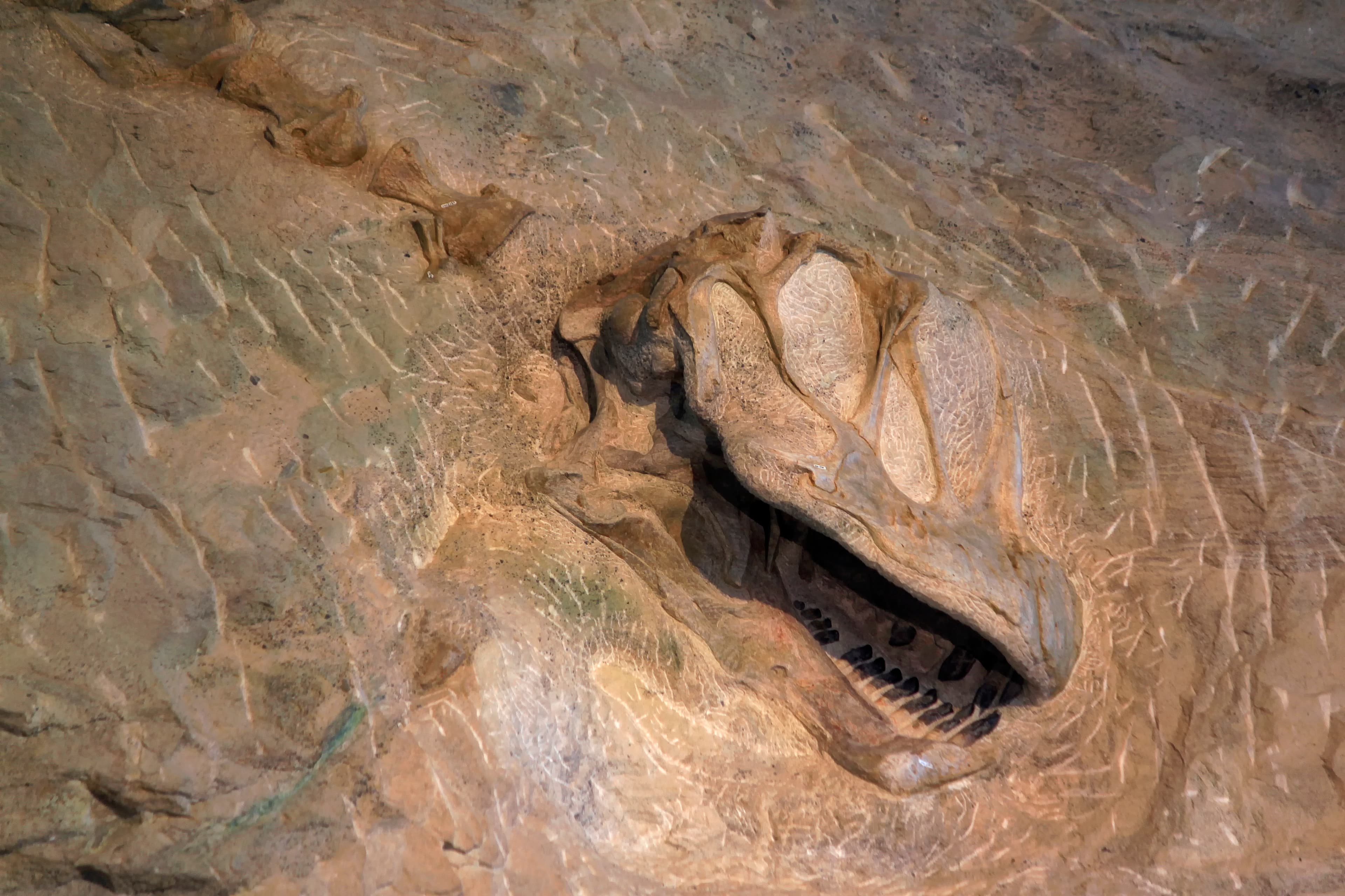
Dinosaur fossils have been discovered at or are associated with at least 27 NPS units. Geographically, their finds are concentrated in the parks of the Colorado Plateau, but they have been found from central Alaska to Big Bend National Park in Texas to Springfield Armory National Historic Site in Massachusetts. The most famous site is the Dinosaur Quarry of Dinosaur National Monument, but a rush of new finds since the 1970s has greatly expanded our knowledge.
Ranger School
Park-grounded courses you can learn with the Ranger.
How Colorado National Monument connects
This park's activities, topics, location, and on-the-ground places — one hop in the graph. Drag to explore; click an activity, topic, or related park to follow it.
Park
Activity
Topic
State
Campground
VisitorCenter
PassportStamp
Trail
ThingToDo
Alert
Similar parks
Share activities & topics with Colorado National Monument.