White Sands National Park
New Mexico
Tonight
🌓 65% moon
9.1 h fully dark
Hikes
Easy–Strenuous
🟢 🔴
Crowds
low
Open today
Open
closed Nov 26 – Nov 26; closed Dec 25 – Dec 25
Entrance
$25
Dunes Drive Safety Corridor
Dunes Drive is open. A safety corridor is in effect between mile marker 3 and 5.5 along Dunes Drive. Visitors may drive but not stop or exit their vehicle in this area.
Official NPS alert →Backcountry Camping Closed
Backcountry camping at the park is closed. There is no established opening date at this time.
Interdune Boardwalk Closed
Due to the active safety corridor, the Interdune Boardwalk is closed. Please visit the park visitor center to learn about other options during your visit.
Park Closures
From time to time the missile range that surrounds the park performs military testing that may require the closure of the park or Highway 70. Please plan your visit around upcoming military tests.
Official NPS alert →RV and Tractor Trailer Parking at the Visitor Center
There is limited space for parking for recreational vehicles and trailers in the parking lot directly in front (south) of the visitor center. RVs are asked to not park in the lot behind the visitor center. There is no parking space for tractor trailers.
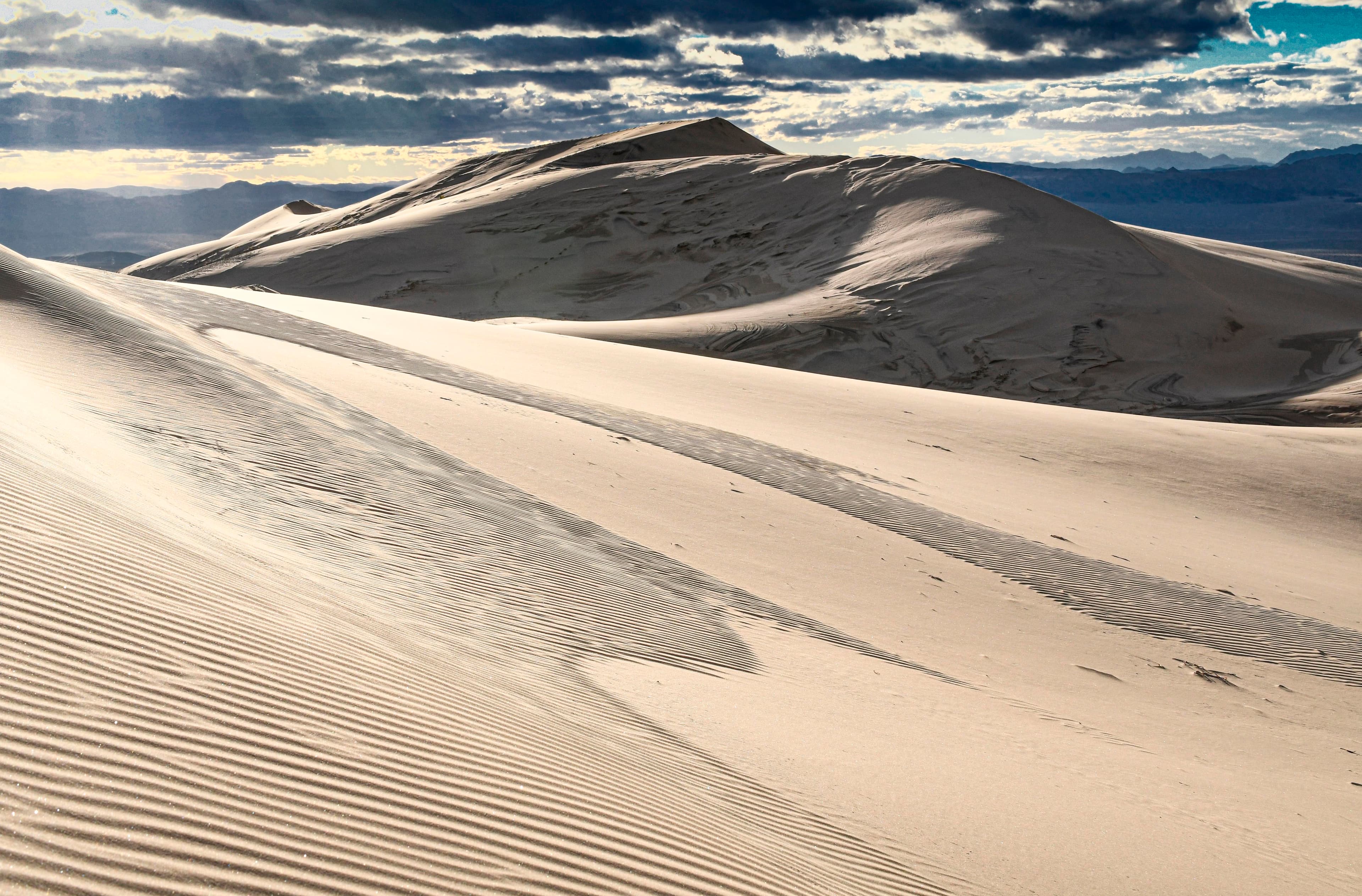
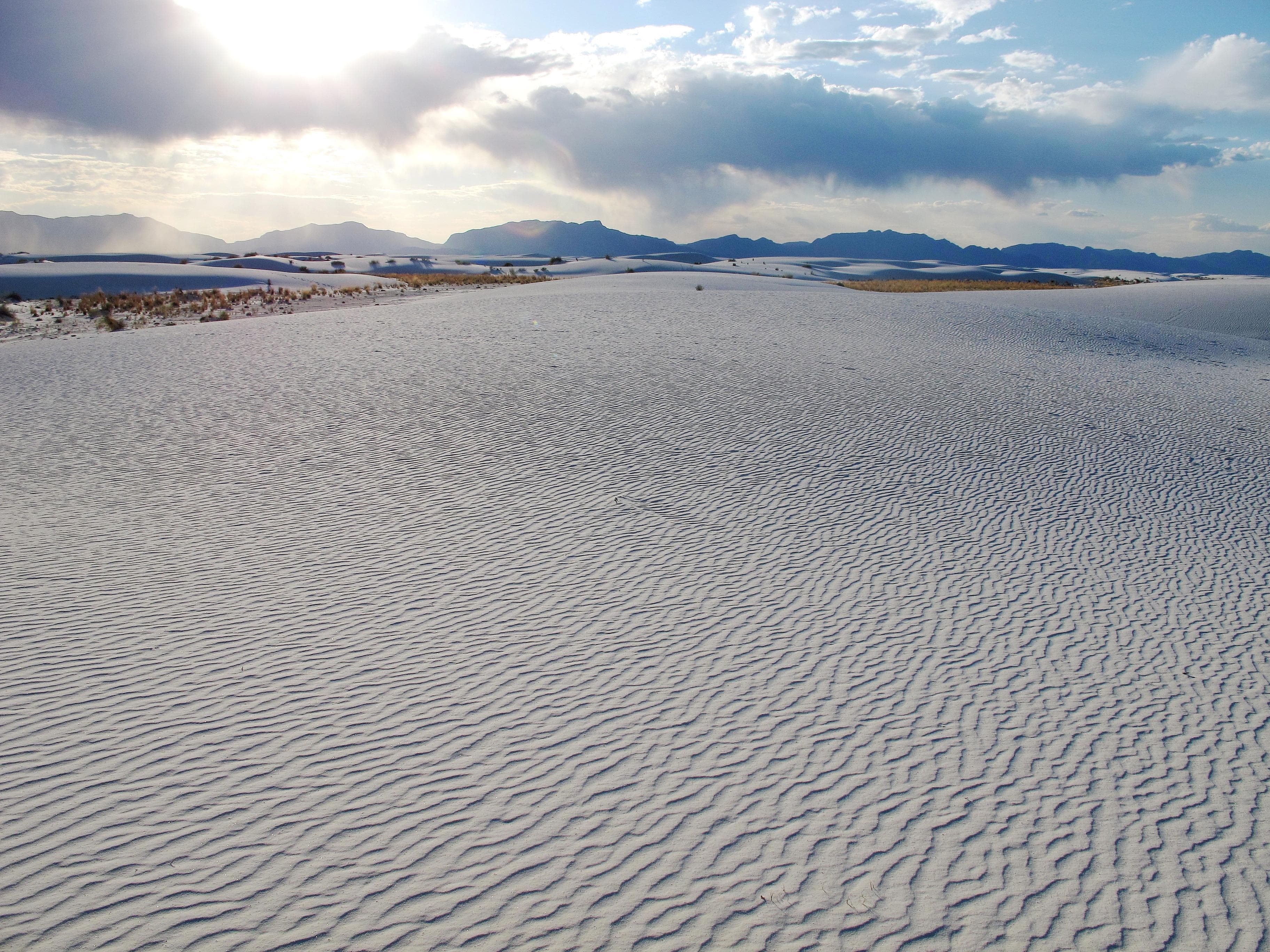
Rising from the heart of the Tularosa Basin is one of the world's great natural wonders - the glistening white sands of New Mexico. Great wave-like dunes of gypsum sand have engulfed 275 square miles of desert, creating the world's largest gypsum dunefield. White Sands National Park preserves a major portion of this unique dunefield, along with the plants and animals that live here.
Activities
Entrance fees
$25.00 — Entrance - Private Vehicle
$15.00 — Entrance - Per Person
$20.00 — Entrance - Motorcycle
$50.00 — Commercial Entrance - Van
$60.00 — Commercial Entrance - Mini-bus
$150.00 — Commercial Entrance - Motor Coach
Hours & seasons
The park gates always open at 7:00 am with closing hours changing with sunset. The park closes 30 minutes after local sunset. Local sunset is 8 minutes earlier than Alamogordo's predicted sunset. Sunset times can be found at https://sunrise-sunset.org/us/alamogordo-nm
⚠ closed Nov 26 – Nov 26; closed Dec 25 – Dec 25
Generally open:
winterspringsummerfallHours are reported by the park — verify before you go.
📞 5754796124
✉ whsa_interpretation@nps.govConditions
Quietest months (fewer crowds): Jan
Typical crowds: low
Weather now: ☀️ Clear, 88°F
🌫️ 88°/65°
☁️ 92°/61°
🌦️ 88°/64°
Typical monthly recreation visits · NPS avg 2023–2025 — orange months are the quietest by crowds.
Quietest months
Relative crowds by month — lighter is quieter; ringed months are the calmest by crowds.
Jan
41%
Feb
43%
Mar
100%
Apr
79%
May
68%
Jun
61%
Jul
62%
Aug
45%
Sep
45%
Oct
48%
Nov
50%
Dec
59%
Log a sky reading
Measured the sky with an SQM meter or app? Add your reading (16 = city glow … 22 = pristine). Opt in under “Travelers like you” to share it on the community leaderboard.
Things to do
Hiking Dune Life Nature Trail
Sledding at the Roadrunner Picnic Area
Hiking the Playa Trail · 0.5 mi · Duration varies by hiker. This short trail is 0.25 miles one way, 0.5 miles round trip.
🔴 Hiking Backcountry Camping Trail · 2 mi · 50 ft gain · Time varies by hiker speed. Allow at least 2 hours for this moderately strenuous trail.
🔴 Hiking Alkali Flat Trail
🟢 Sledding at the Alkali Flat Trailhead · 8 mi
🟢 Hiking Interdune Boardwalk · 0.4 mi
Picnicking at White Sands
Campgrounds
Backcountry Camping · 10 sites · first-come
Visitor centers
White Sands Visitor Center
Accessibility
1 accessible campground(s)
112 audio-described place(s)
Reported by the park — verify before you go.
Not an official safety source — always defer to NPS.gov and rangers for life-safety decisions.
By the numbers
A visual read on White Sands National Park — its character, trails, sky, and weather.
Park fingerprint
How this park scores across the dimensions travelers care about.
Trail difficulty
Difficulty mix across this park's trails.
Trail profile
Each dot is a trail — distance vs. elevation gain, by difficulty.
3-day forecast
Daily high and low temperatures (°F).
People & stories
Figures tied to White Sands National Park — each spans a cross-park journey.
Frank "Boss" Pinkley
— Pinkley, Boss, NPS HistoryPassport stamps
Mark the stamps you've collected — they show in your memory and along your routes.
🎫 White Sands Visitor Center
Places to see
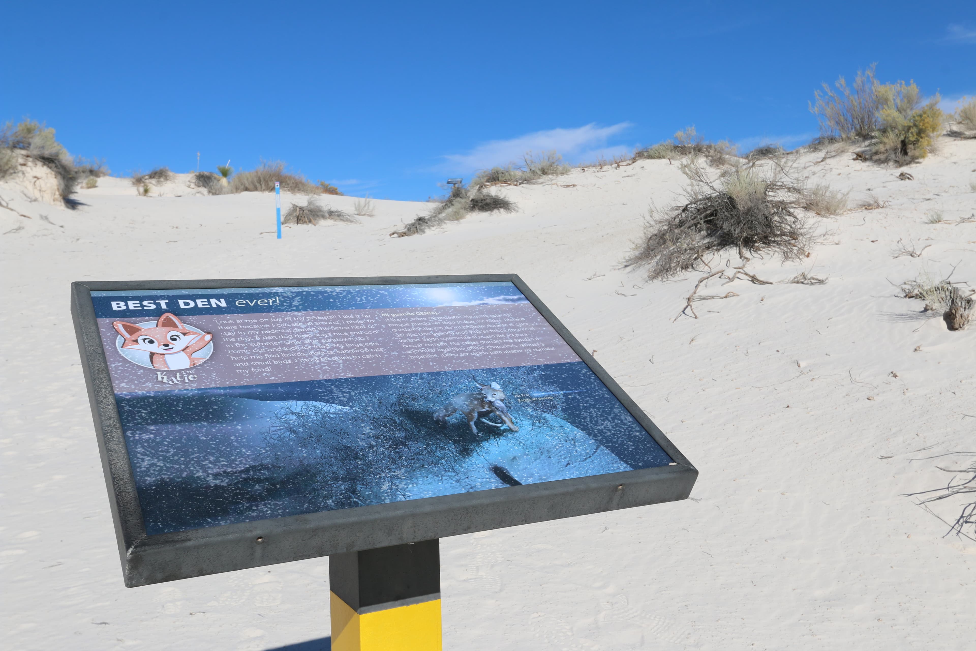
"Best Den Ever!" Interpretive Sign
audio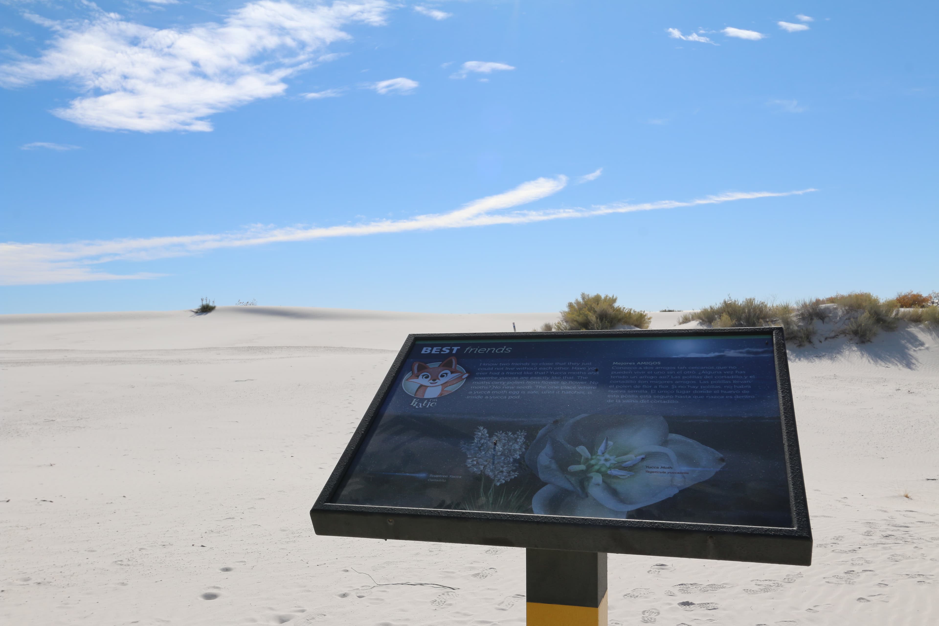
"Best Friends" Interpretive Sign
audio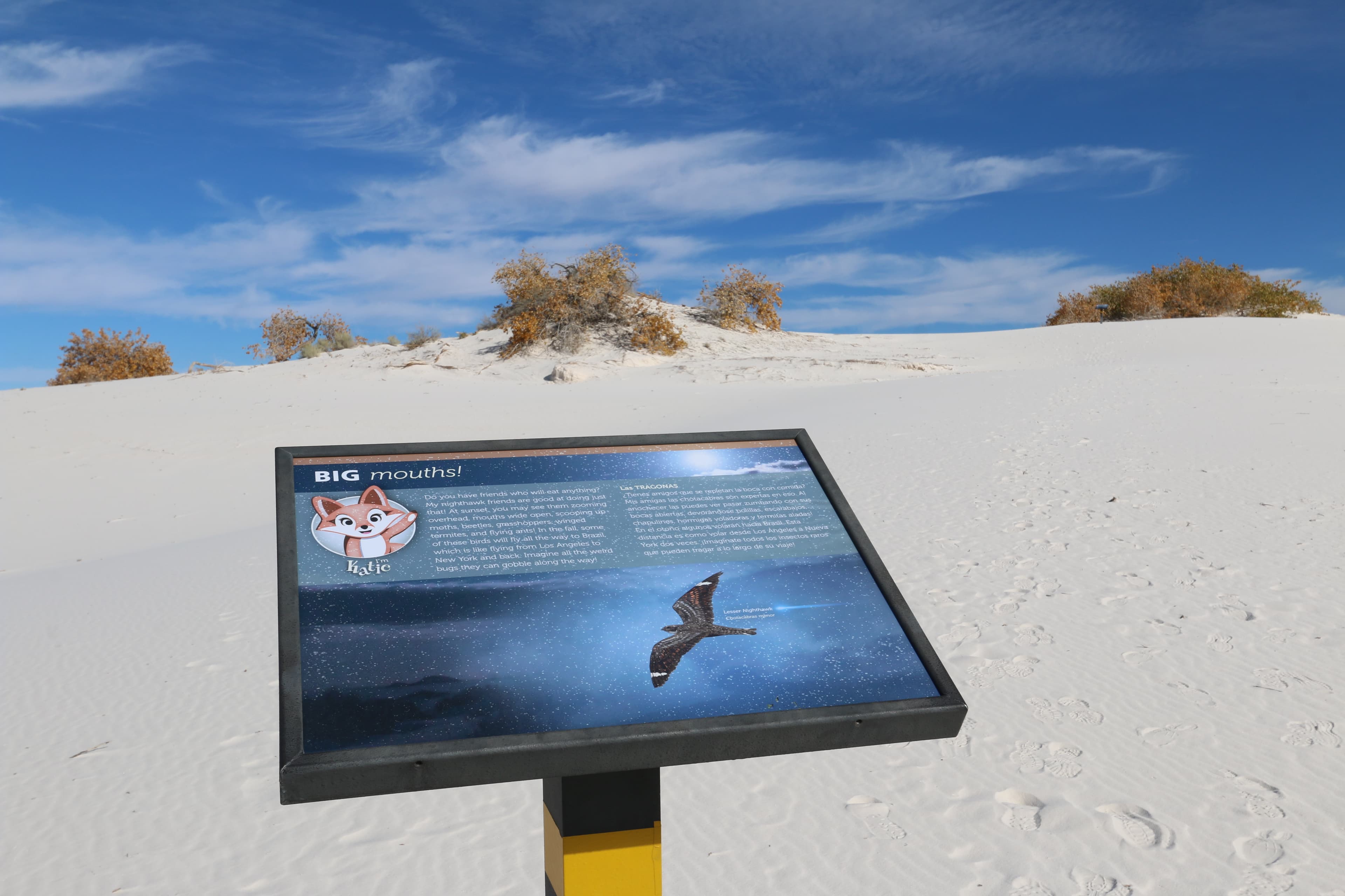
"Big Mouths!" Interpretive Sign
audio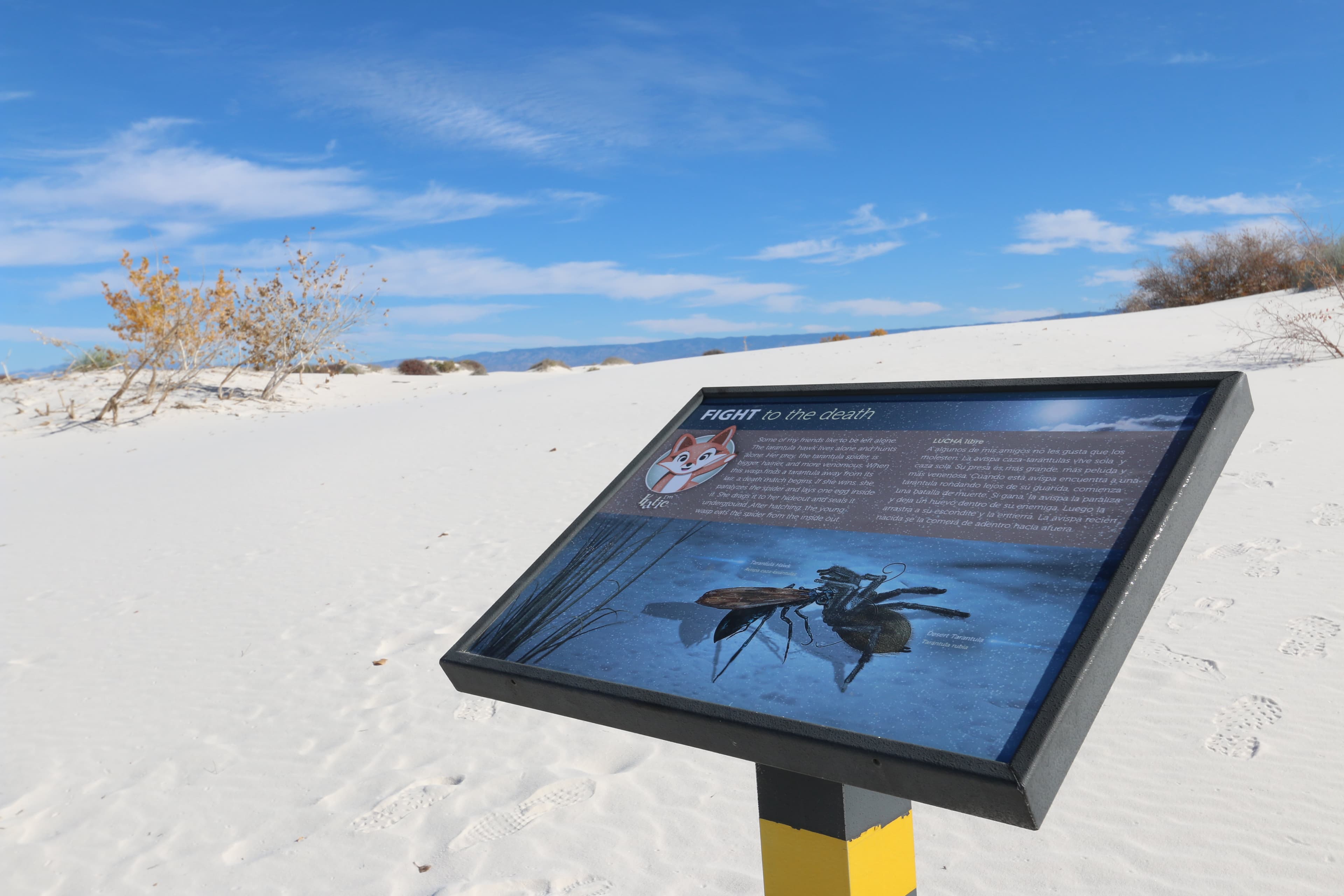
"Fight to the Death" Interpretive Sign
audio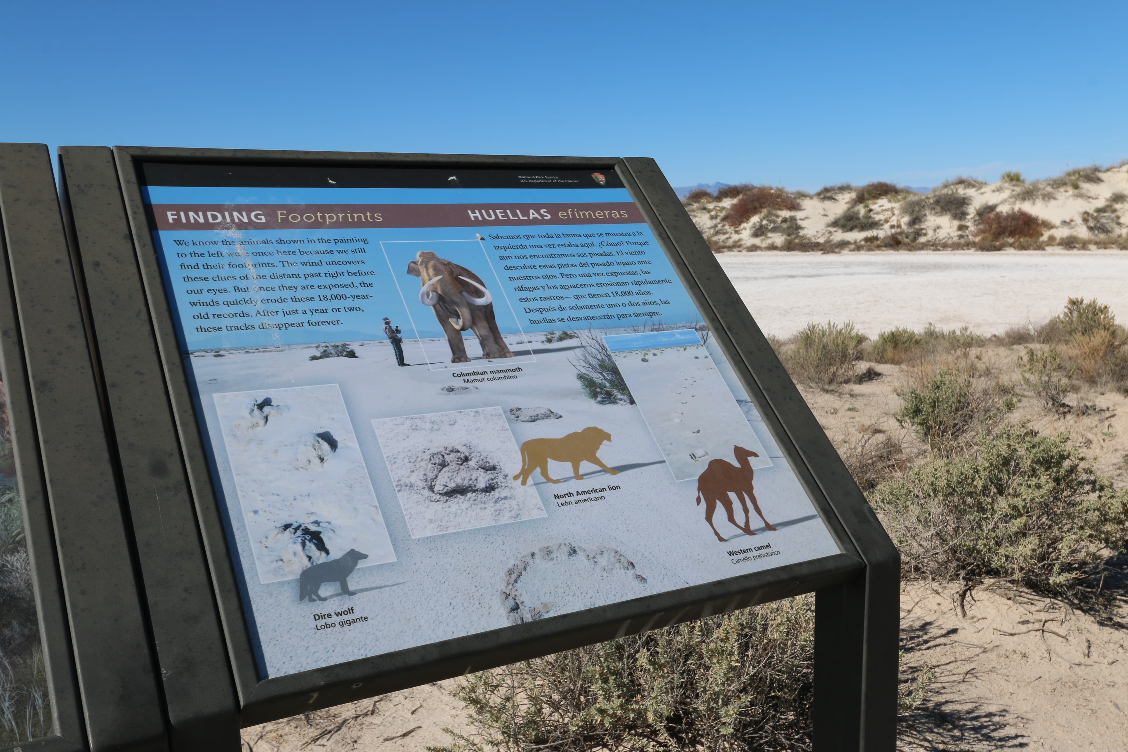
"Finding Footprints" Interpretive Sign
audio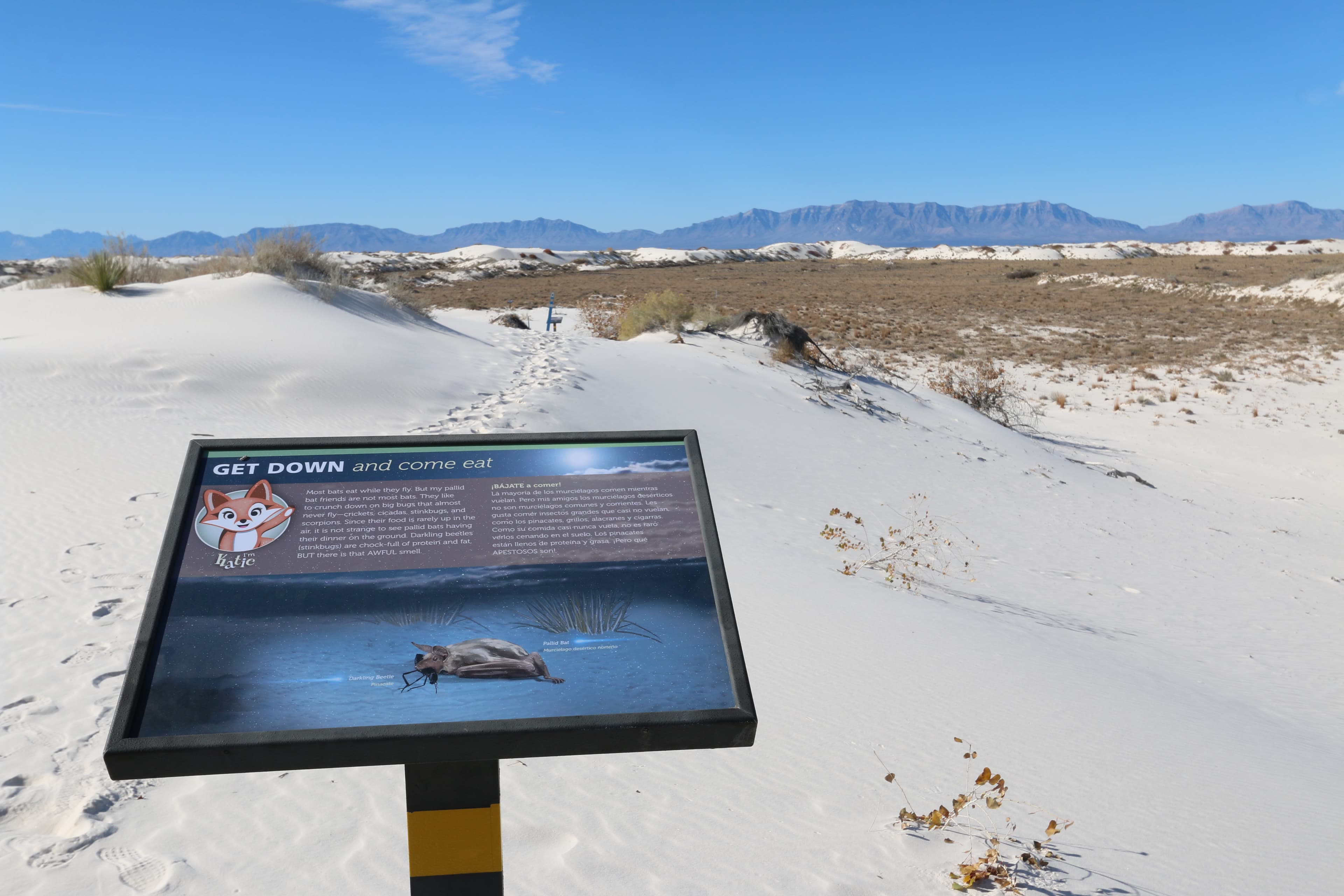
"Get Down and Come Eat" Interpretive Sign
audio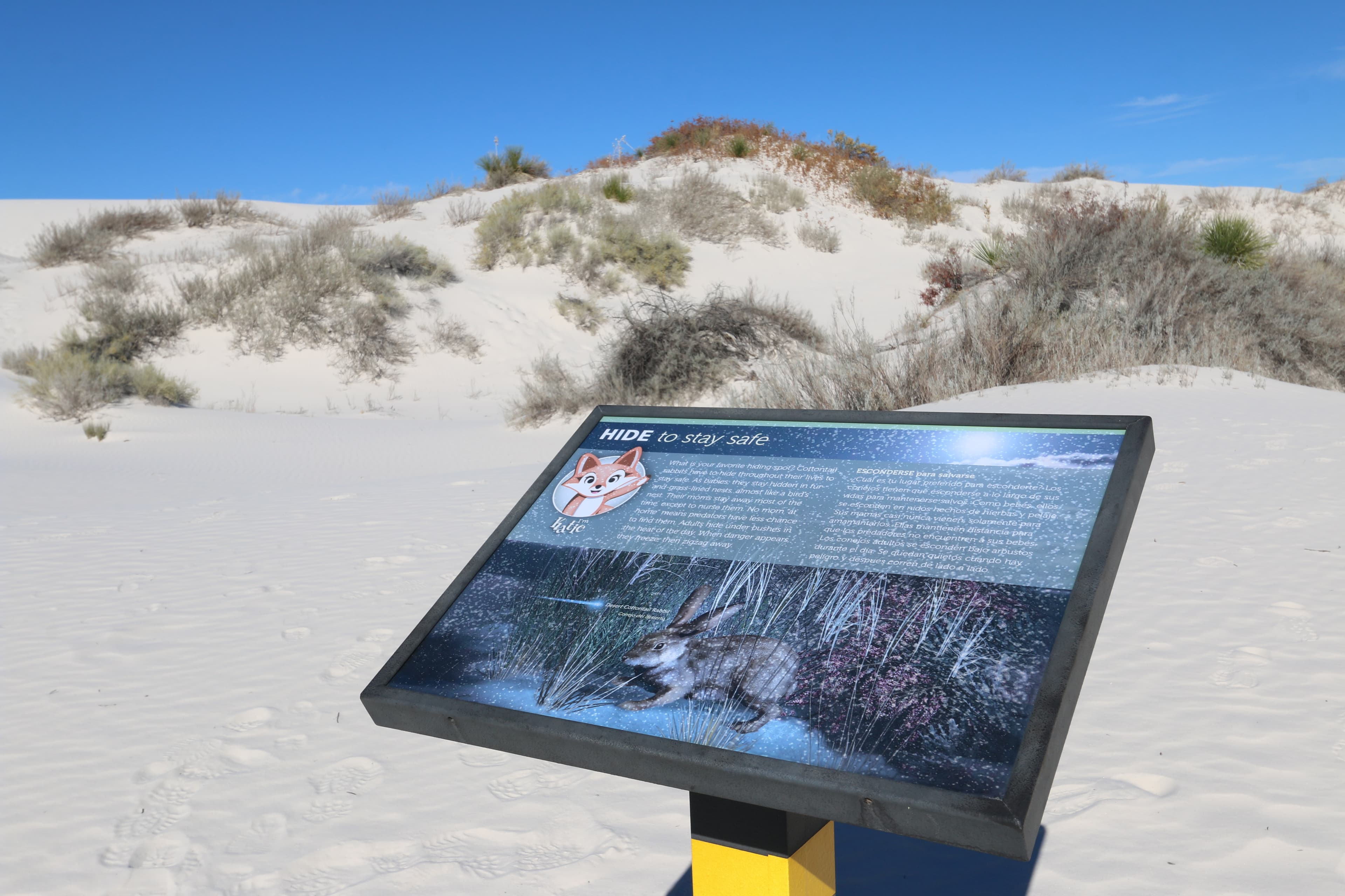
"Hide to Stay Safe" Interpretive Sign
audio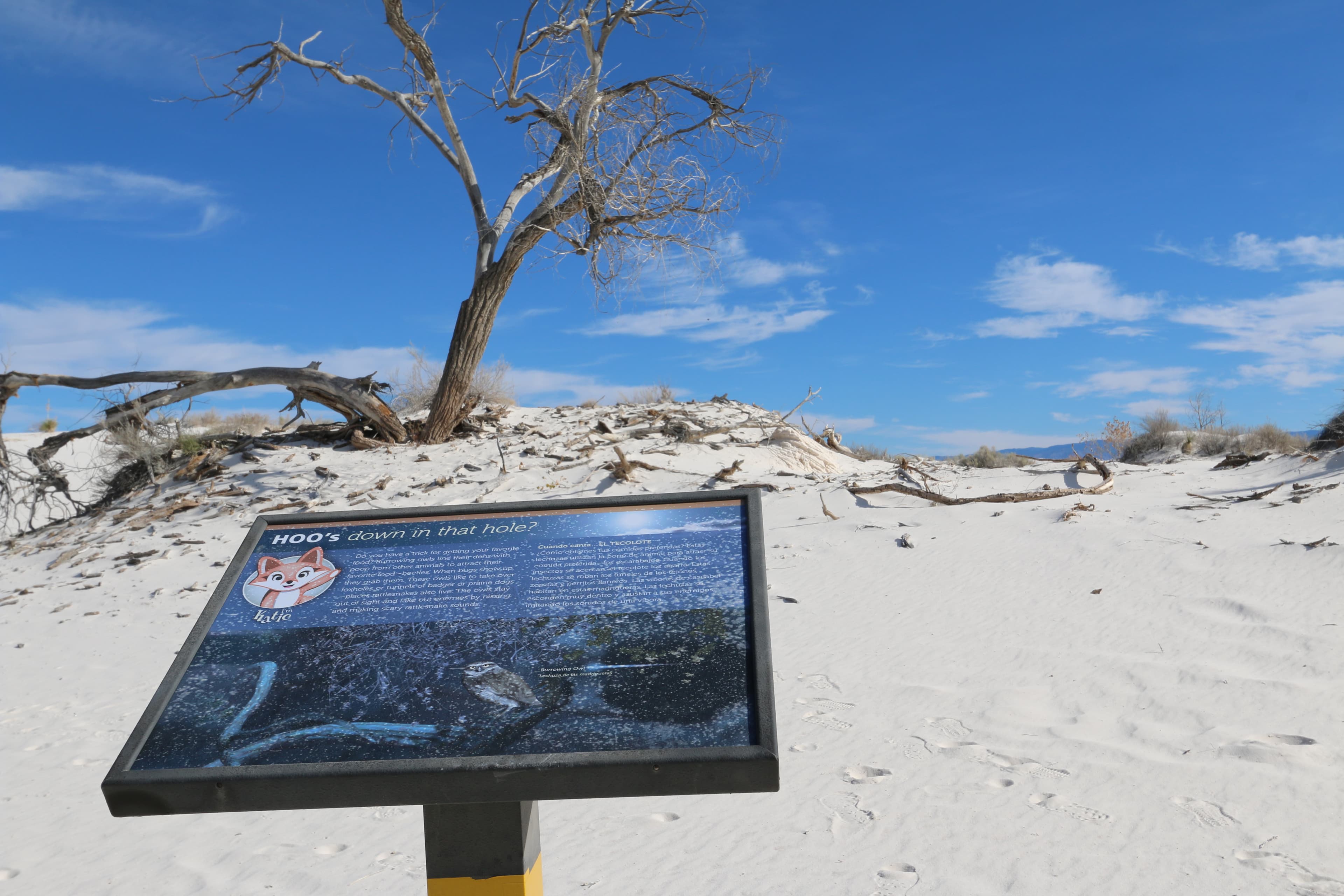
"Hoo’s Down in that Hole?" Interpretive Sign
audio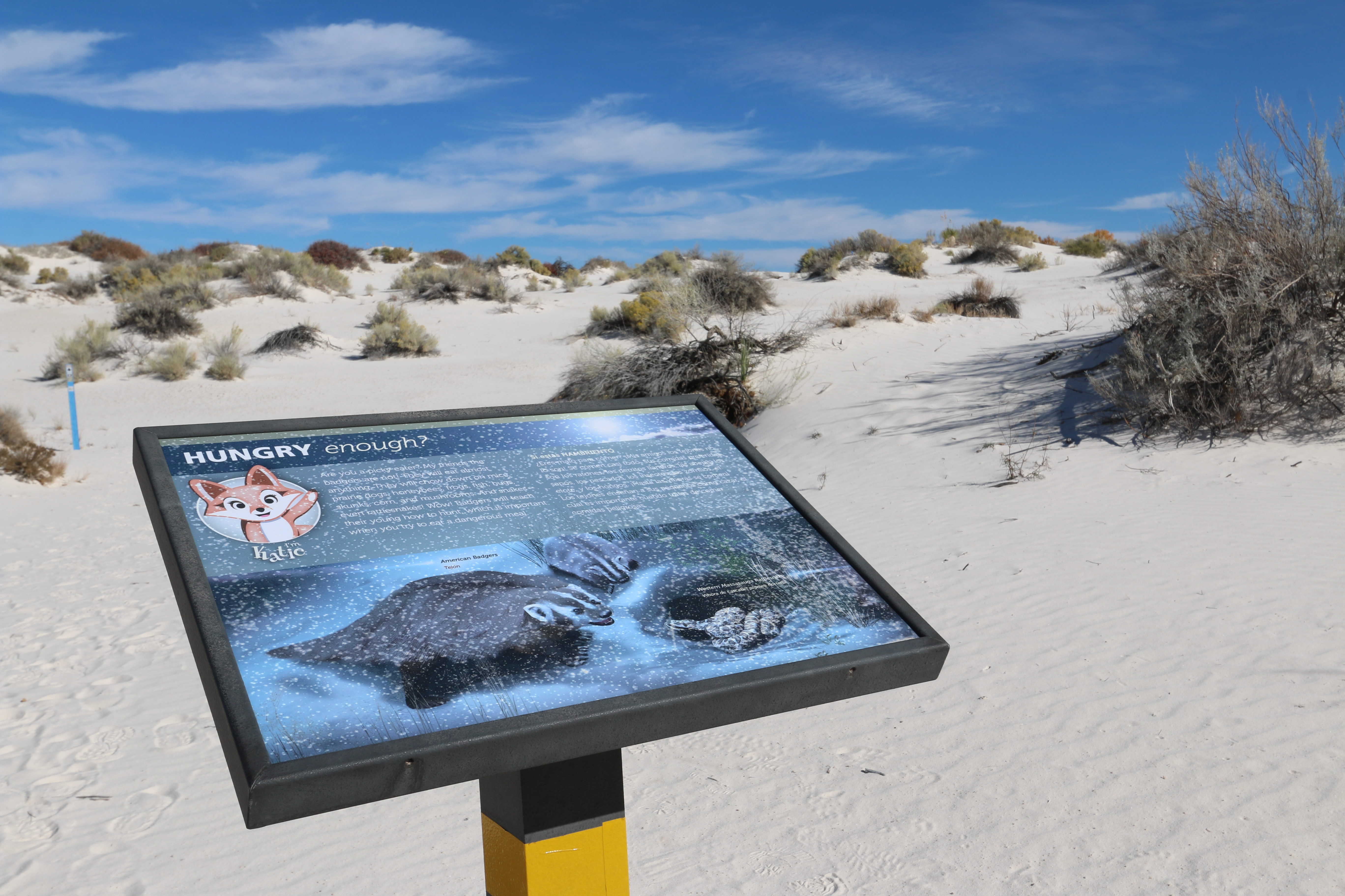
"Hungry Enough?" Interpretive Sign
audio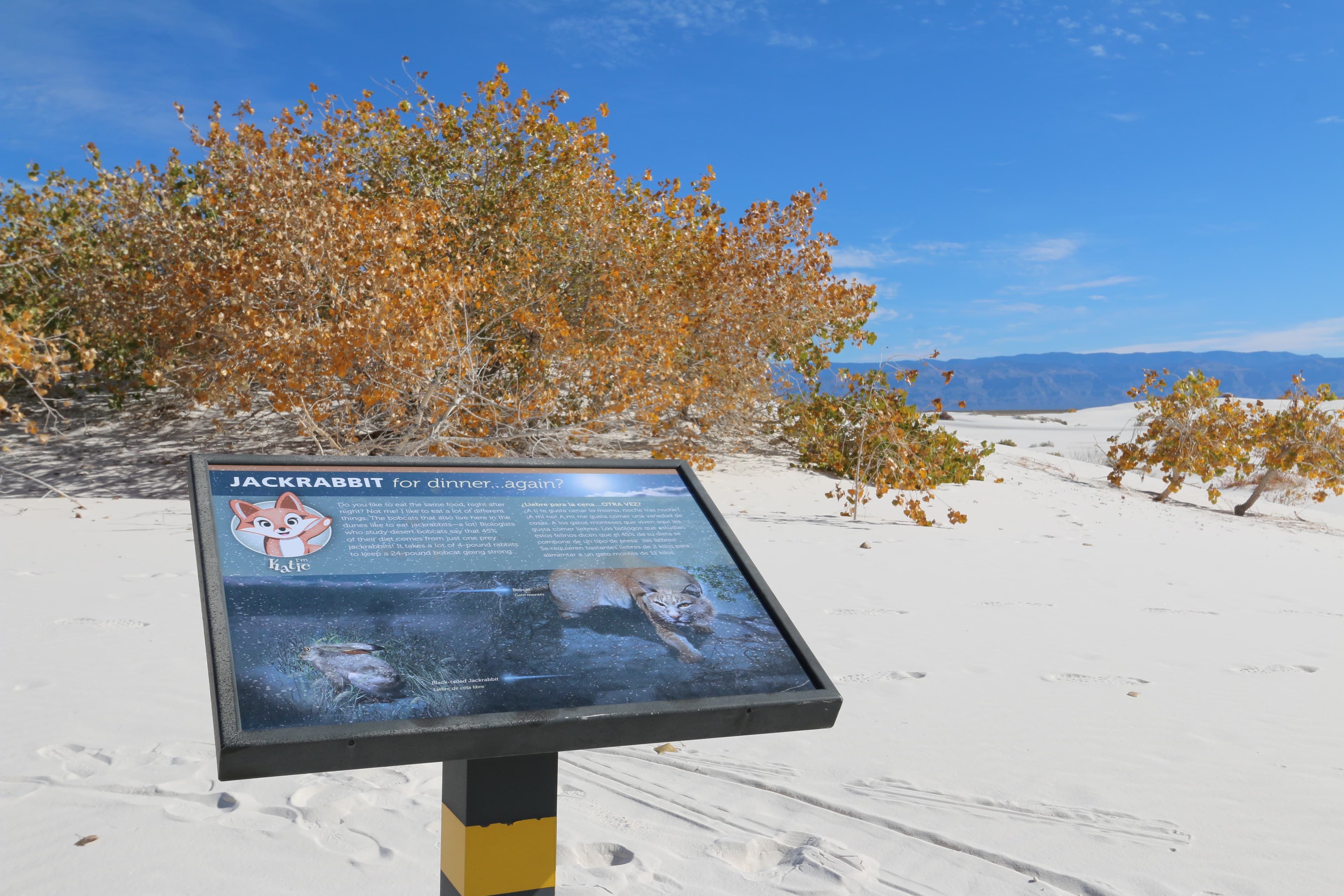
"Jackrabbit for Dinner... Again?" Interpretive Sign
audio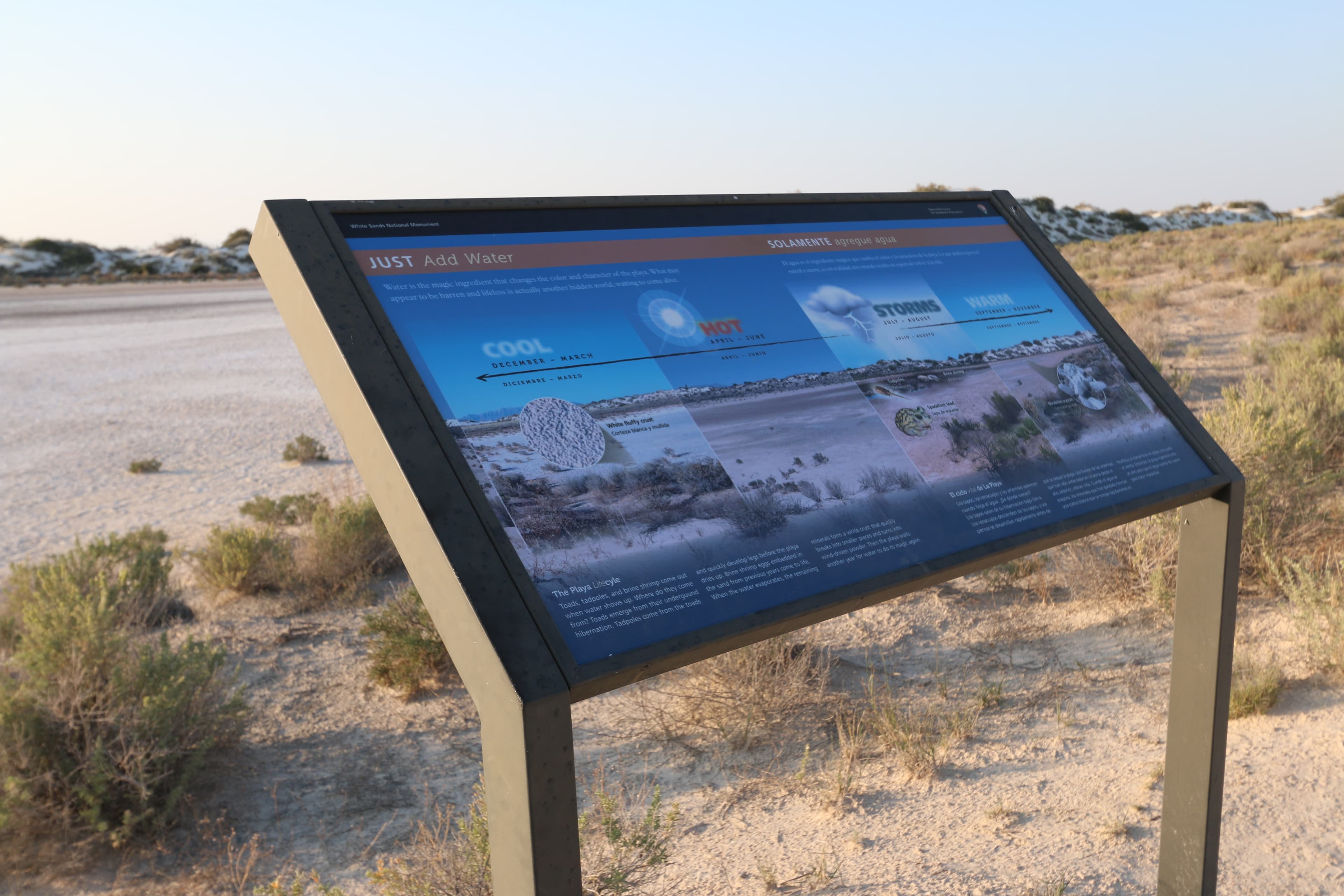
"Just Add Water" Interpretive Sign
audio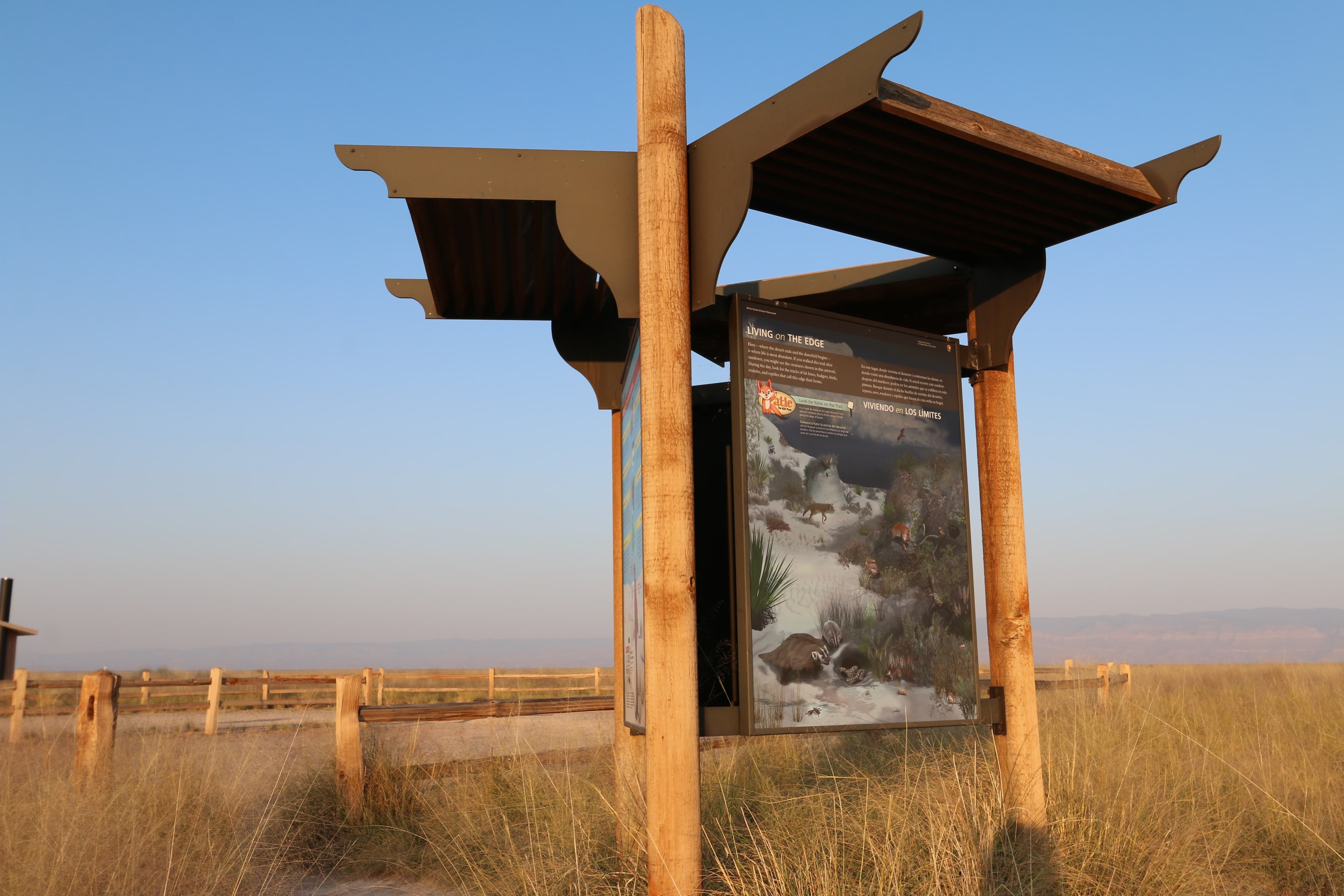
"Living on the Edge" Kiosk Panel
audioAudio & media
Learn more
Discover the innovative and exciting programs of the recipients of the national and regional 2011 Freeman Tilden Awards for excellence in interpretation.
When the climate changes enough, the vegetation communities growing in any given place will also change. Under an expanded bimodal climate zone, some plant communities in western national parks are more likely to change than others. National Park Service ecologists and partners investigated the future conditions that may force some of this change. Having this information can help park managers decide whether to resist, direct, or accept the change.
Mammoths, mastodons, and other proboscideans are among the most familiar fossil organisms. An inventory complied by Jim Mead and others documents the occurrences of these animals in 63 National Park Service units.
Three park units in the Chihuahuan Desert Network, Big Bend National Park (NP), Carlsbad Caverns NP, and Guadalupe Mountains NP are designated as Class I air quality areas under the Clean Air Act. Class I areas receive the highest protection under the act, and degradation of air quality must be minimal. Air quality concerns include atmospheric deposition effects and visibility impairment from fine particle haze.
The purpose of this research is to survey the arthropods of White Sands National Monument, New Mexico, USA, and Cuatrociénegas Protected Area, Coahuila, Mexico, specifically to discover new, unnamed and potentially endemic species.
In spite of programs to encourage hiring of individuals with disabilities, it was often others’ misconceptions or discomfort that prevented women with disabilities from getting National Park Service (NPS) jobs. Those hired in the 1970s and early 1980s brought diverse skillsets and new perspectives to the workforce. Like the earliest women rangers in the 1910s and 1920s, they often only had short-term positions. They all challenged ideas of what it takes to be a park ranger.
Across the US, changes in water availability are altering which plants grow where. These changes are evident at a broad scale. But not all areas experience the same climate in the same way, even within the boundaries of a single national park. A new dataset gives park managers a valuable tool for understanding why vegetation has changed and how it might change in the future under different climate-change scenarios.
The Chihuahuan Desert Network is currently developing protocols to monitor several vital signs that may reflect current and future impacts of climate change. This brief offers a summary of how Chihuahuan Desert Network monitoring will detect future change.
How White Sands National Park connects
This park's activities, topics, location, and on-the-ground places — one hop in the graph. Drag to explore; click an activity, topic, or related park to follow it.
Park
Activity
Topic
State
Campground
VisitorCenter
PassportStamp
Trail
ThingToDo
Alert
Similar parks
Share activities & topics with White Sands National Park.