El Morro National Monument
New Mexico
Tonight
🌓 65% moon
9 h fully dark
Hikes
Easy–Strenuous
🟢 🔴
Crowds
low
Open today
Open
Entrance
Free entry
Stage II Fire Restrictions
Stage II Fire Restrictions are currently in effect due to high fire danger. Restrictions include no campfires and no smoking except in an enclosed vehicle or other authorized area.
Official NPS alert →Trail Closure
A portion of Headland Trail is closed due to ongoing restoration work. Access to the trail will now close at 2:30pm daily, all hikers must be off the trails by 4:45pm.
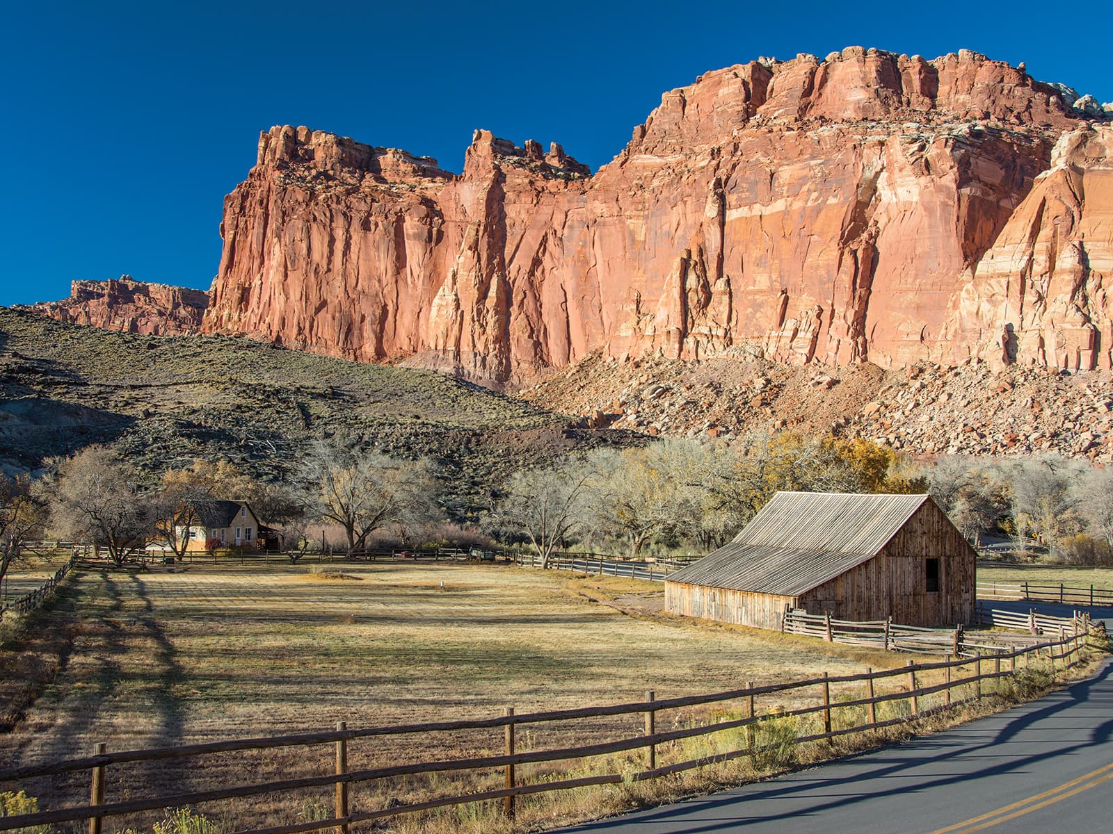
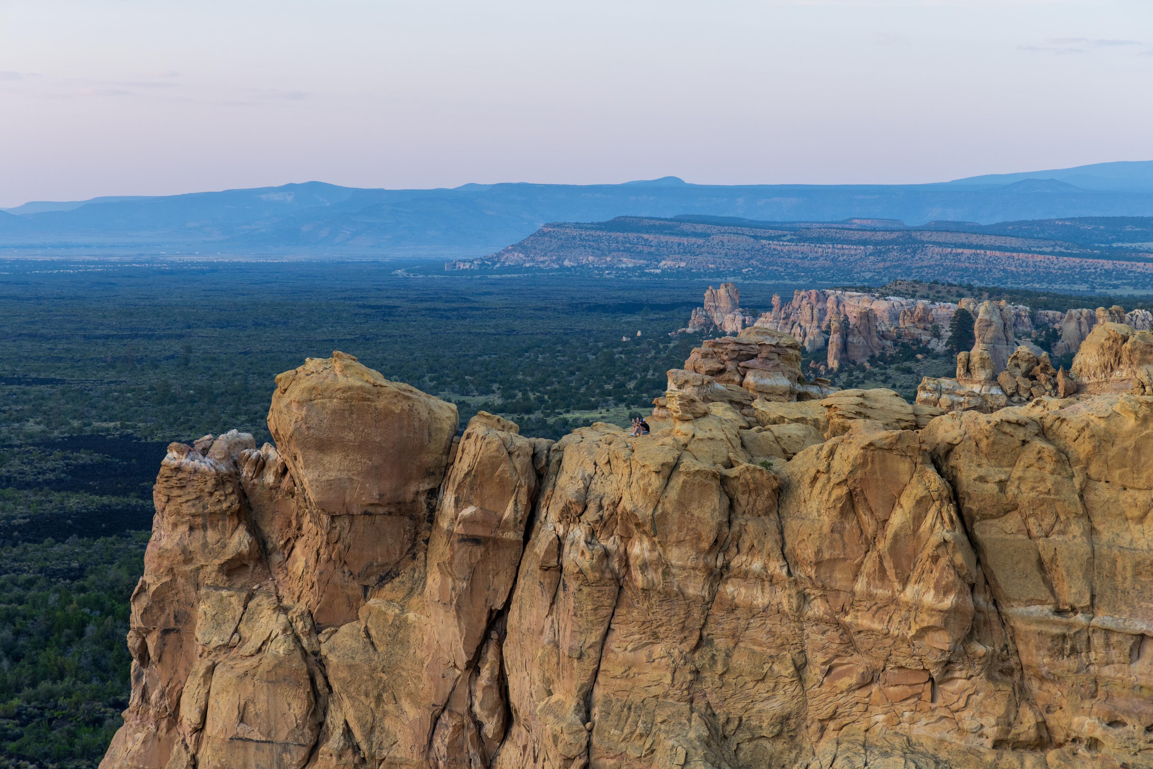
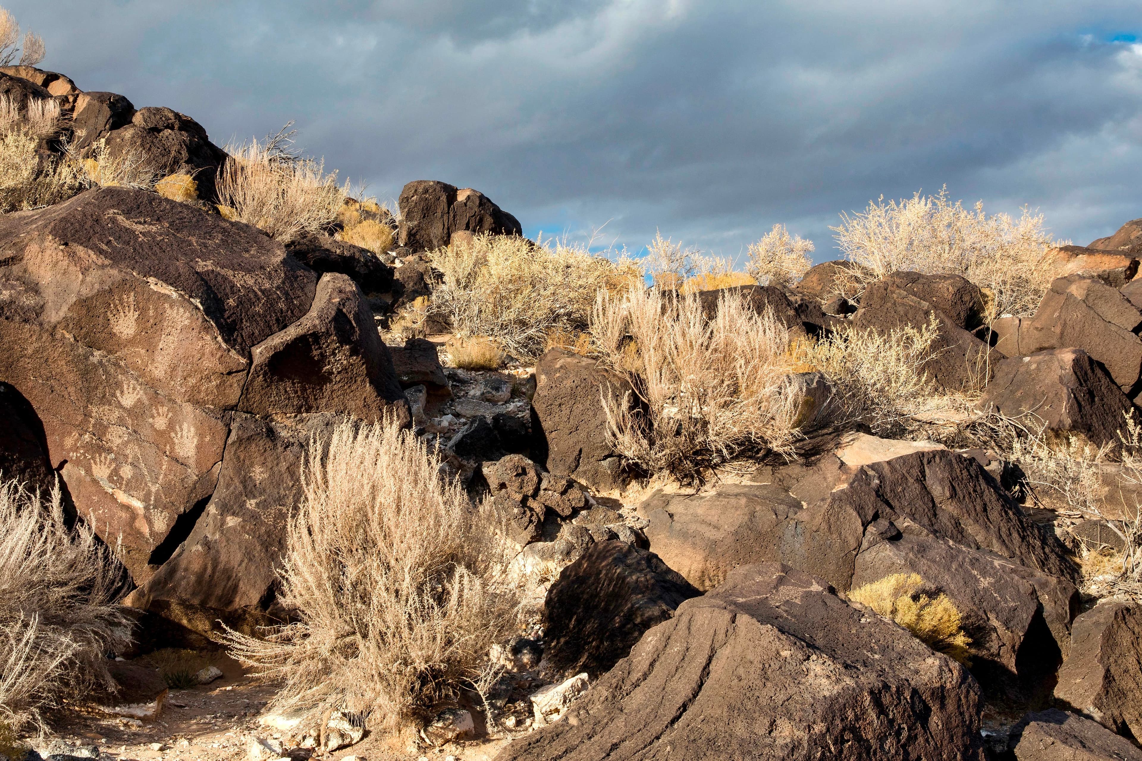
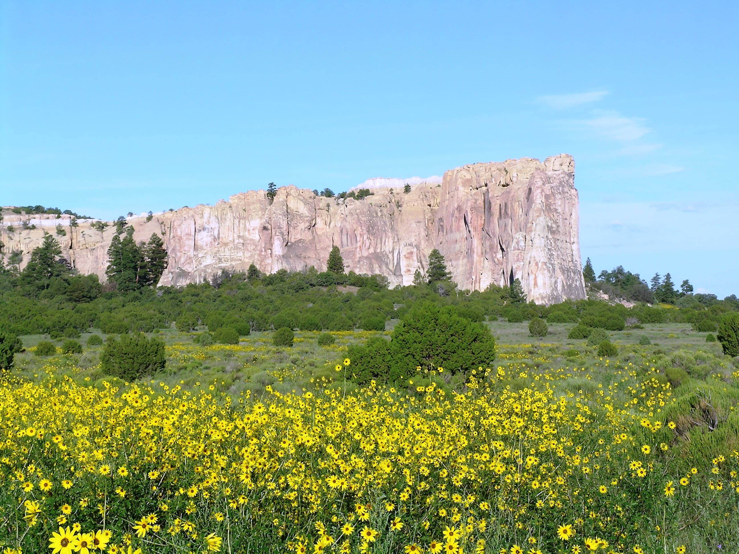
Imagine the refreshment of finding water after days of dusty travel. A reliable waterhole hidden at the base of a sandstone bluff made El Morro (the headland) a popular campsite for hundreds of years. Here, ancestral Puebloans, Spanish, and American travelers carved over 2,000 signatures, dates, messages, and petroglyphs. Make El Morro National Monument a stopping point on your travels.
Activities
Topics
No entrance fee.
Hours & seasons
Summer Hours (May 24, 2026 - October 17, 2026). Park visitor center and trails open 7 days/week. Winter Hours (October 18, 2026 - May 27, 2027). Visitor center and trails open 5 days/week. Closed Tuesdays and Wednesdays. Trail access begins at 9:00 am. Last admittance to the Headland Trail is at 2:30 pm MT. Last admittance to the Inscription Loop Trail is at 4:00 pm MT. There is no access to park trails once the visitor center closes at 5:00 pm. Closed Thanksgiving Day, December 25, and January 1.
Generally open:
winterspringsummerfallHours are reported by the park — verify before you go.
📞 5057834226
✉ wendy_gordge@nps.govConditions
Quietest months (fewer crowds): Jan, Feb, Nov, Dec
Typical crowds: low
Weather now: ☀️ Clear, 50°F
☁️ 75°/49°
☁️ 75°/47°
🌦️ 75°/56°
Typical monthly recreation visits · NPS avg 2023–2025 — orange months are the quietest by crowds.
Quietest months
Relative crowds by month — lighter is quieter; ringed months are the calmest by crowds.
Jan
34%
Feb
39%
Mar
64%
Apr
89%
May
100%
Jun
83%
Jul
80%
Aug
80%
Sep
92%
Oct
72%
Nov
39%
Dec
41%
Log a sky reading
Measured the sky with an SQM meter or app? Add your reading (16 = city glow … 22 = pristine). Opt in under “Travelers like you” to share it on the community leaderboard.
Live conditions
El Morro, Live! ↗active
Things to do
El Morro Campground · <p>The campground has a limit of 14 days per calendar year.</p>
🔴 Hiking the Headland Trail · 2 mi · 224 ft gain · The average time to complete the Headland Trail is two hours. It may take more or less time, depending on personal fitness levels, number and length of stops, and if the Inscription Loop in included.
🟢 Hike the Inscription Rock Trail · 0.75 mi · The average time to complete the Inscription Loop is 45 minutes. It make take more or less time, depending on pace and how much you wish to read about the inscriptions.
El Morro Visitor Center
El Morro Junior Ranger Program
Campgrounds
El Morro Campground · 9 sites · first-come
Visitor centers
El Morro Visitor Center
Accessibility
1 accessible campground(s)
Reported by the park — verify before you go.
Not an official safety source — always defer to NPS.gov and rangers for life-safety decisions.
By the numbers
A visual read on El Morro National Monument — its character, trails, sky, and weather.
Park fingerprint
How this park scores across the dimensions travelers care about.
Trail difficulty
Difficulty mix across this park's trails.
Trail profile
Each dot is a trail — distance vs. elevation gain, by difficulty.
3-day forecast
Daily high and low temperatures (°F).
People & stories
Figures tied to El Morro National Monument — each spans a cross-park journey.
Frank "Boss" Pinkley
— Pinkley, Boss, NPS HistoryPassport stamps
Mark the stamps you've collected — they show in your memory and along your routes.
🎫 El Morro Visitor Center
Audio & media
🎧
🎬
🖼
Learn more
Trip planning guide for El Morro National Monument.
In spring 2011, the SCPN-NAU School of Communication collaboration began with a multimedia studies course focused on documenting park resources and resource projects. The class was taught by NAU professors Laura Camden and Peter Friederici.
A lot of articles have been written about the history of the National Park Service (NPS) arrowhead emblem. Many recycle the same content and outdated information that has largely come from the NPS itself. Challenging the traditional story has revealed new sources of information—and two previously overlooked arrowhead designs—that rewrite the arrowhead origin story.
When the climate changes enough, the vegetation communities growing in any given place will also change. Under an expanded bimodal climate zone, some plant communities in western national parks are more likely to change than others. National Park Service ecologists and partners investigated the future conditions that may force some of this change. Having this information can help park managers decide whether to resist, direct, or accept the change.
Engravings along the base of El Morro National Monument's Inscription Rock range from prehistoric petroglyphs to the earliest known European inscription, Don Juan de Oñate's engraved memorial, dated 1605. Dramatic new evidence — a range of metal artifacts — has emerged linking El Morro with the earliest major Spanish entrada in the desert Southwest – the 1540-1542 expedition of Capitan General Francisco Vázquez de Coronado.
Across the US, changes in water availability are altering which plants grow where. These changes are evident at a broad scale. But not all areas experience the same climate in the same way, even within the boundaries of a single national park. A new dataset gives park managers a valuable tool for understanding why vegetation has changed and how it might change in the future under different climate-change scenarios.
The combination of high. elevation and a semi-arid climate makes the Colorado Plateau particularly vulnerable to climate change. Climate models predict that over the next 100 years, the Southwest will become warmer and even more arid, with more extreme droughts than the region has experienced in the recent past.
Ever wondered what those dark lines were on the rock walls of canyon country? These black, brown, and red streaks are called desert varnish.
How El Morro National Monument connects
This park's activities, topics, location, and on-the-ground places — one hop in the graph. Drag to explore; click an activity, topic, or related park to follow it.
Park
Activity
Topic
State
Campground
VisitorCenter
PassportStamp
Trail
ThingToDo
Alert
Similar parks
Share activities & topics with El Morro National Monument.