Canyon de Chelly National Monument
Arizona
Tonight
🌓 65% moon
8.9 h fully dark
Crowds
low
Entrance
Free entry
Route 7 from Sawmill, AZ is NOT recommended
Entering the park from the east at Sawmill, AZ on Route 7 is not recommended. Part of this route is UNPAVED and UNMAINTAINED. Please stay on paved roads, such as Indian Route 64 from Tsaile, AZ and Highway 191/Route 7 from Chinle, AZ.
Weather Advisory and Storm Warnings
The park may have delayed openings or closures in the event of severe weather. Travel may not be recommended during these times. Please check local weather forecasts. We appreciate your understanding.
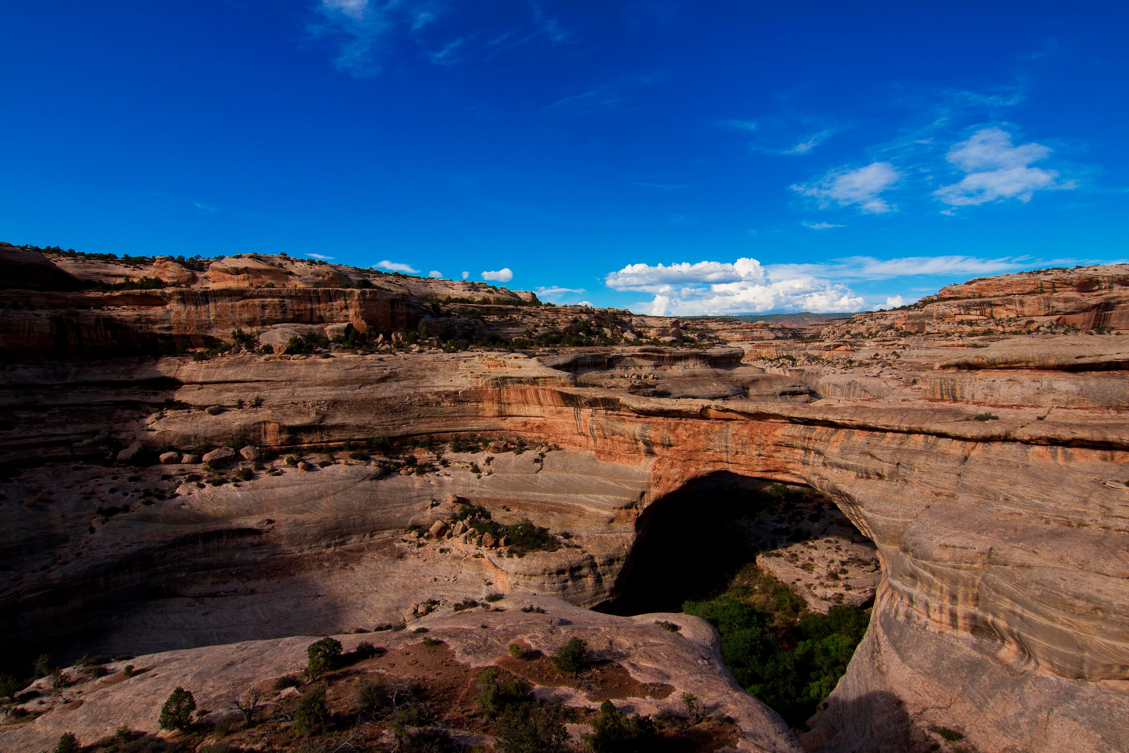
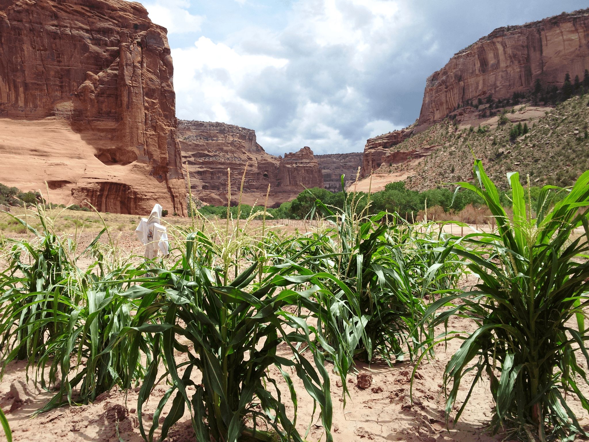
This canyon is home to Diné families who raise livestock, grow crops and live here. People have lived in these canyons for nearly 5,000 years, which is longer than anyone has lived continuously on the Colorado Plateau. In this place called Tsegi, their homes and images tell us their stories. Today, the park and Navajo Nation work together to manage the rich cultural and natural resources.
Activities
No entrance fee.
Hours & seasons
North Rim Drive, South Rim Drive, 9 overlooks open daily all year round. The Welcome Center is open daily from 8AM to 5PM and closed for Thanksgiving, Christmas, and New Years Day. Welcome Center gates open and close daily with regular business hours. No entrance fee for park.
Hours are reported by the park — verify before you go.
📞 9286745500
✉ cach_interpretation@nps.govConditions
Quietest months (fewer crowds): Jan, Feb, Nov
Typical crowds: low
Weather now: ☀️ Clear, 61°F
☁️ 74°/51°
☁️ 76°/54°
🌧️ 76°/56°
Typical monthly recreation visits · NPS avg 2023–2025 — orange months are the quietest by crowds.
Quietest months
Relative crowds by month — lighter is quieter; ringed months are the calmest by crowds.
Jan
37%
Feb
36%
Mar
67%
Apr
90%
May
83%
Jun
100%
Jul
97%
Aug
87%
Sep
84%
Oct
88%
Nov
50%
Dec
84%
Log a sky reading
Measured the sky with an SQM meter or app? Add your reading (16 = city glow … 22 = pristine). Opt in under “Travelers like you” to share it on the community leaderboard.
Visitor centers
Visitor Center
Not an official safety source — always defer to NPS.gov and rangers for life-safety decisions.
By the numbers
A visual read on Canyon de Chelly National Monument — its character, trails, sky, and weather.
Park fingerprint
How this park scores across the dimensions travelers care about.
3-day forecast
Daily high and low temperatures (°F).
People & stories
Figures tied to Canyon de Chelly National Monument — each spans a cross-park journey.
Ann Axtell Morris
— Archeologist, Archaeologist, ArtistEarl Morris
— Archaeologist, Archeology, AnthropologyFrank "Boss" Pinkley
— Pinkley, Boss, NPS HistoryLouis Caywood
— Archeologist, Archaeologist, History Of ArcheologySallie Pierce Brewer Van Valkenburg Harris
— Archeologist, Archaeologist, Women In ScienceAudio & media
🎧
🎬
🖼
Learn more
In spring 2011, the SCPN-NAU School of Communication collaboration began with a multimedia studies course focused on documenting park resources and resource projects. The class was taught by NAU professors Laura Camden and Peter Friederici.
Hopa Mountain, in partnership with the National Park Service, is pleased to announce the 2019 awardees of the Connecting with our Homelands travel grants. Twenty-one Indigenous organizations, schools, and nonprofits have been awarded travel funds for trips to national park units across 12 states/territories within the United States.
Each National Park Service (NPS) employee has a unique story. We can't tell them all, but sometimes there's a personal account—like that of Sallie Pierce Brewer Van Valkenburg Harris—that speaks to common experiences. Although her NPS connections ran from 1933 to 1971, many of her joys, challenges, and frustrations can still be recognized in the NPS today. Sallie's story resonates regardless of era, gender, or position. How will it speak to you?
Photographer Ansel Adams is renowned for his black-and-white images of western American landscapes. His name conjures iconic images of national parks, particularly his beloved Yosemite. Although his 1941 mural project for the US Department of the Interior (DOI) is better known, Adams also worked with the National Park Service (NPS) to create a series of six posters. These affordable versions of Adams’ art provided priceless publicity for national parks.
When the climate changes enough, the vegetation communities growing in any given place will also change. Under an expanded bimodal climate zone, some plant communities in western national parks are more likely to change than others. National Park Service ecologists and partners investigated the future conditions that may force some of this change. Having this information can help park managers decide whether to resist, direct, or accept the change.
Across the US, changes in water availability are altering which plants grow where. These changes are evident at a broad scale. But not all areas experience the same climate in the same way, even within the boundaries of a single national park. A new dataset gives park managers a valuable tool for understanding why vegetation has changed and how it might change in the future under different climate-change scenarios.
The combination of high. elevation and a semi-arid climate makes the Colorado Plateau particularly vulnerable to climate change. Climate models predict that over the next 100 years, the Southwest will become warmer and even more arid, with more extreme droughts than the region has experienced in the recent past.
The data packages for all our long-term monitoring efforts across the Southern Colorado Plateau are the foundations for almost everything we do here. We recently underwent our biggest effort yet in reformatting our data to fit the new standards put out by the Inventory & Monitoring Division. We are proud to announce that two of our largest datasets have now been published and are available for everyone to utilize.
Ranger School
Park-grounded courses you can learn with the Ranger.
How Canyon de Chelly National Monument connects
This park's activities, topics, location, and on-the-ground places — one hop in the graph. Drag to explore; click an activity, topic, or related park to follow it.
Park
Activity
Topic
State
VisitorCenter
Trail
Alert
Similar parks
Share activities & topics with Canyon de Chelly National Monument.

Nearby parks
Often planned together
Parks travelers add to the same trip as Canyon de Chelly National Monument.