Amistad National Recreation Area
Texas
Tonight
🌓 65% moon
9.2 h fully dark
Crowds
moderate
Open today
Open
Entrance
Free entry
Diablo East Marina Cove, Scuba Cove, and Walkway Access Are Closed
The Diablo East Marina Cove, Scuba Cove, and walkway access are closed because of the presence of excessive docking material, unsafe walkway and dock, and unstable, loose ground. The area will reopen once these hazards have been corrected.
Help Prevent Aquatic Invasive Species (AIS) Infestation
A number of lakes are infested with an array of aquatic invasive species that damage natural ecosystems and waterways. Boaters are advised to Clean, Drain, and Dry all boats and equipment every time they leave the water.
Only Left Side of Diablo East and Rough Canyon Boat Ramps Are Open - Rest Are Closed
Due to low water levels, only the left side of Diablo East and Rough Canyon boat ramps are open. Please use caution with Spur 406 and Spur 454 launches, as the water may be too shallow to launch most boats. To see a list of open ramps, click on "more."
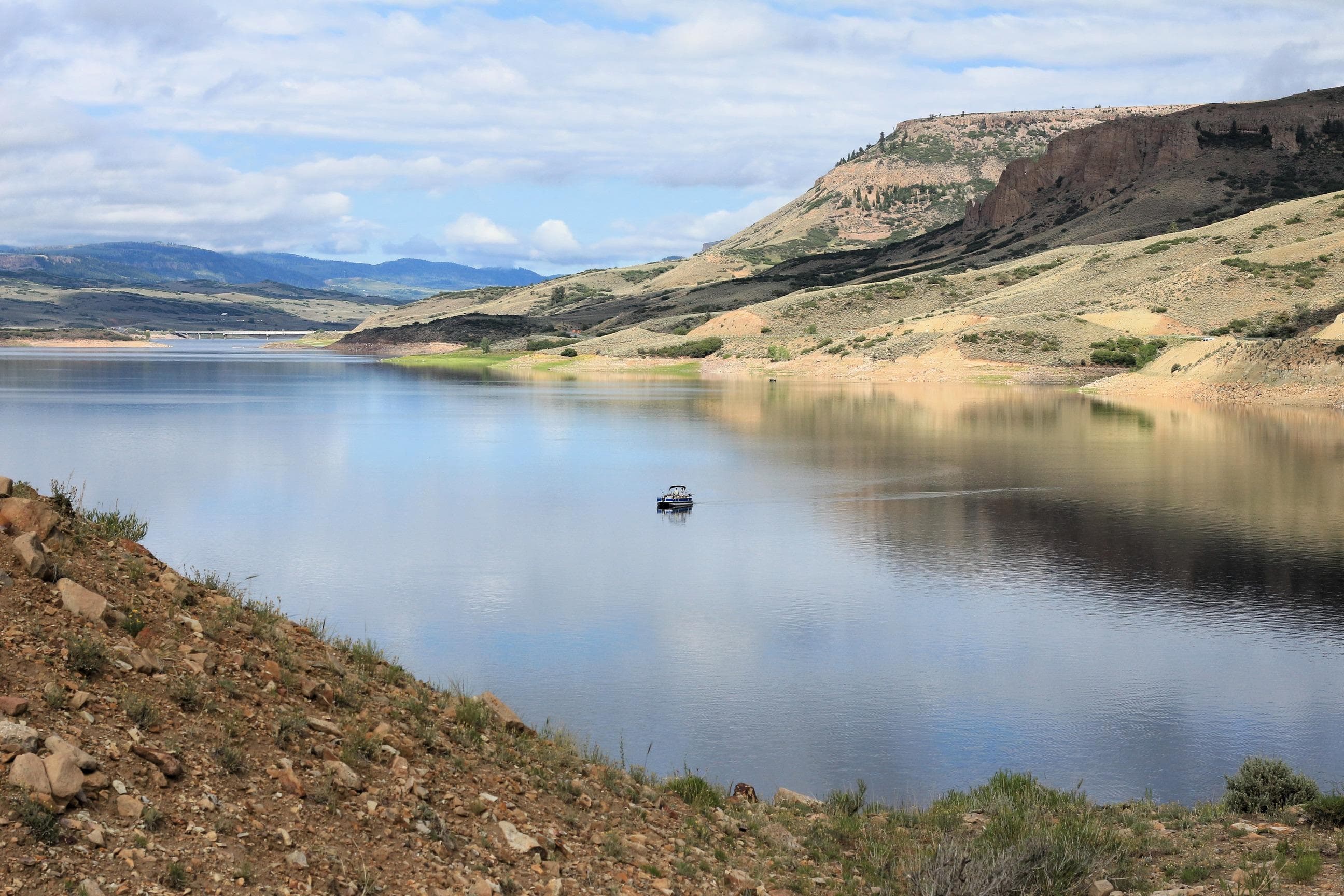
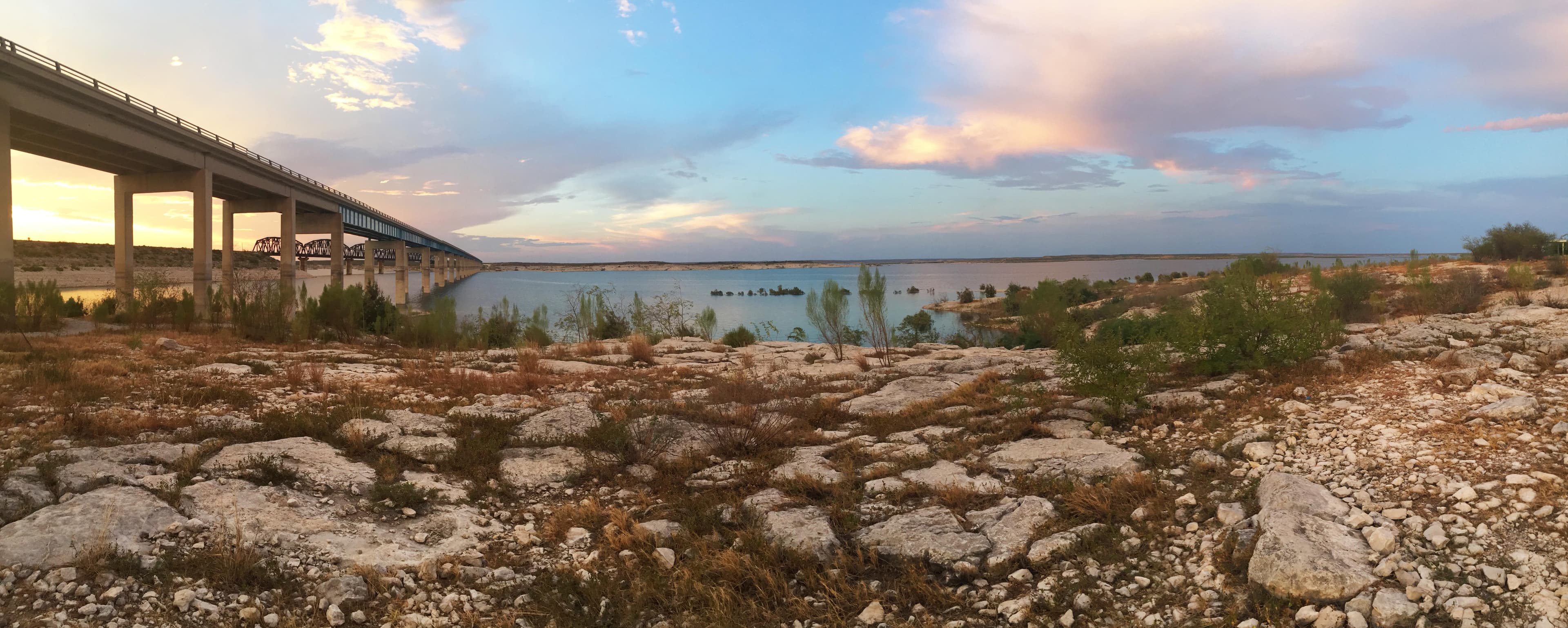
Official NPS alert →An oasis in the desert, Amistad National Recreation Area consists of the US portion of the International Amistad Reservoir. Amistad, a Spanish word meaning "friendship," is known for excellent water-based recreation, camping, hiking, and rich cultural history dating back nearly 5,000 years. Amistad is also home to a wide variety of plant and animal life both above and below the water.
Activities
Topics
No entrance fee.
Hours & seasons
Amistad National Recreation Area is open throughout the year. However, some areas may experience temporary closures because of low water levels. Please see our Operation Hours and Seasons and Current Conditions pages for more specific details.
Generally open:
winterspringsummerfallHours are reported by the park — verify before you go.
📞 (830) 775-7491
✉ amis_interpretation@nps.govConditions
Quietest months (fewer crowds): Dec
Typical crowds: moderate
Weather now: ☁️ Overcast, 91°F
☁️ 96°/77°
☁️ 95°/75°
☁️ 96°/76°
Typical monthly recreation visits · NPS avg 2023–2025 — orange months are the quietest by crowds.
Quietest months
Relative crowds by month — lighter is quieter; ringed months are the calmest by crowds.
Jan
49%
Feb
56%
Mar
72%
Apr
89%
May
100%
Jun
73%
Jul
90%
Aug
63%
Sep
58%
Oct
55%
Nov
55%
Dec
40%
Log a sky reading
Measured the sky with an SQM meter or app? Add your reading (16 = city glow … 22 = pristine). Opt in under “Travelers like you” to share it on the community leaderboard.
Live conditions
Diablo East Rampa de Barco - Amistad National Recreation Area ↗active
Current Conditions: Diablo East Boat Ramp - Amistad National Recreation Area ↗active
Boating: Diablo East Boat Ramp - Amistad National Recreation Area ↗active
Webcam: Diablo East Boat Ramp - Amistad National Recreation Area ↗active
Diablo East Boat Ramp - Amistad National Recreation Area ↗active
Things to do
Hiking at Amistad
Swimming at Amistad
Boating at Amistad · 74 mi
Hike the Diablo East Nature Trail · The Nature Trail is .3 miles long.
Campgrounds
277 North Campground ↗ · 18 sites · first-come
Governors Landing Campground · 15 sites · first-come
Rock Quarry Group Campsite ↗ · 1 sites · dump station
Rough Canyon Campground · 4 sites · first-come
San Pedro Campground ↗ · 41 sites · first-come
Spur 406 Campground · 6 sites · first-come
Visitor centers
Amistad National Recreation Area Visitor Center
Accessibility
1 accessible campground(s)
11 audio-described place(s)
Reported by the park — verify before you go.
Parking
Black Brush Point Parking · 26 accessible spaces
Diablo East Main Parking · 62 accessible spacesaccessible
Diablo East Marina Parking · 70 accessible spacesaccessible
Diablo East Trailhead Parking (North Lot)
Diablo East Trailhead Parking (South Lot)
Governors Landing Day Use Area Parking · 56 accessible spacesaccessible
Pecos Day Use Parking · 41 accessible spacesaccessible
Pecos River Boat Launch Parking
Rough Canyon Comfort Station Parking
Rough Canyon Fish Cleaning Station Parking
San Pedro Campground Parking
Sunrise Trail Parking · 3 accessible spaces
Not an official safety source — always defer to NPS.gov and rangers for life-safety decisions.
By the numbers
A visual read on Amistad National Recreation Area — its character, trails, sky, and weather.
Park fingerprint
How this park scores across the dimensions travelers care about.
Trail difficulty
Difficulty mix across this park's trails.
3-day forecast
Daily high and low temperatures (°F).
Passport stamps
Mark the stamps you've collected — they show in your memory and along your routes.
🎫 Amistad National Recreation Area Visitor Center
🎫 Amistad Visitor Center
Places to see
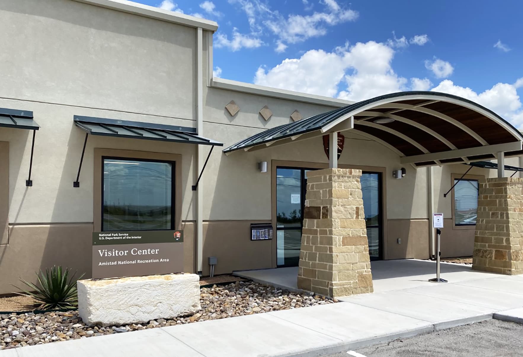
Amistad Visitor Center
audioBlack Brush Point - Amistad
audioBox Canyon - Amistad
audioDiablo East (Former) Marina - Amistad
audioDiablo East Ranger Station - Amistad
audio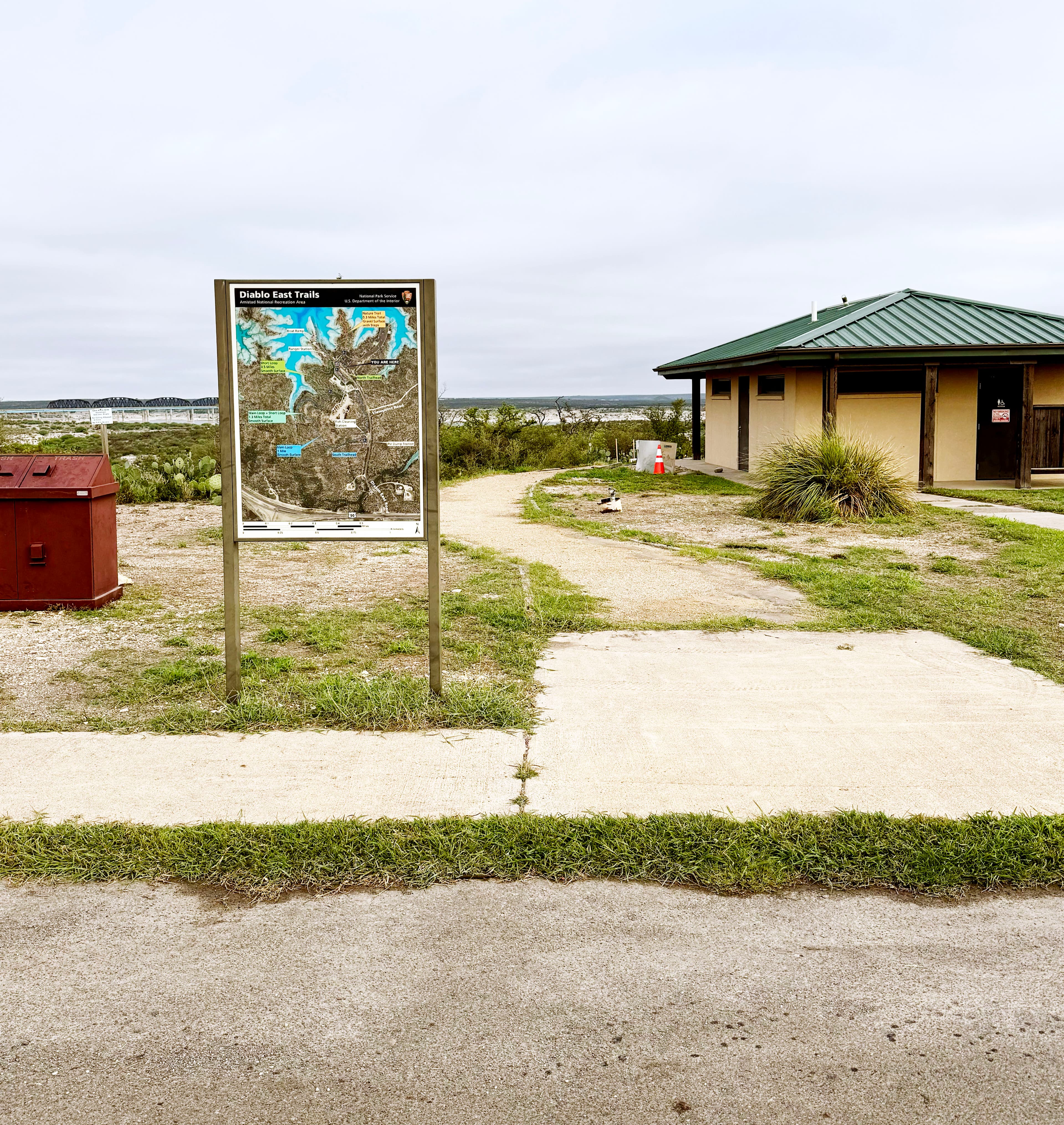
Diablo East Trailhead (North) - Amistad
audioDiablo East Trailhead (South) - Amistad
audioGovernors Landing Day Use Area - Amistad
audio
Pecos Day Use Area - Amistad
audioSan Pedro Walk-in Sites and Hiking - Amistad
audio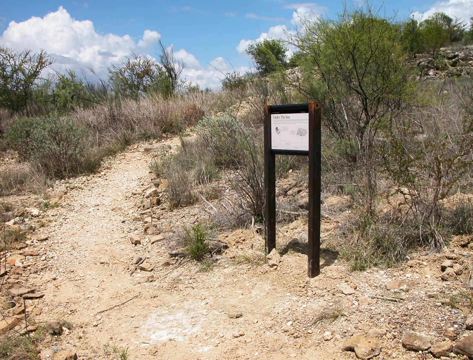
Sunrise Trail - Amistad
audioAudio & media
🎧
🎬
🖼
Learn more
Paleontologist Christy Visaggi reflects on the fossil record preserved at Amistad National Recreation Area.
Three park units in the Chihuahuan Desert Network, Big Bend National Park (NP), Carlsbad Caverns NP, and Guadalupe Mountains NP are designated as Class I air quality areas under the Clean Air Act. Class I areas receive the highest protection under the act, and degradation of air quality must be minimal. Air quality concerns include atmospheric deposition effects and visibility impairment from fine particle haze.
Amistad National Recreation Area and its surroundings are in a transitional zone between eastern, western, northern, and southern avifaunas, which provides the opportunity to see a wide variety of birds. Over 200 species of birds, both resident and migratory, have been documented at the recreation area.
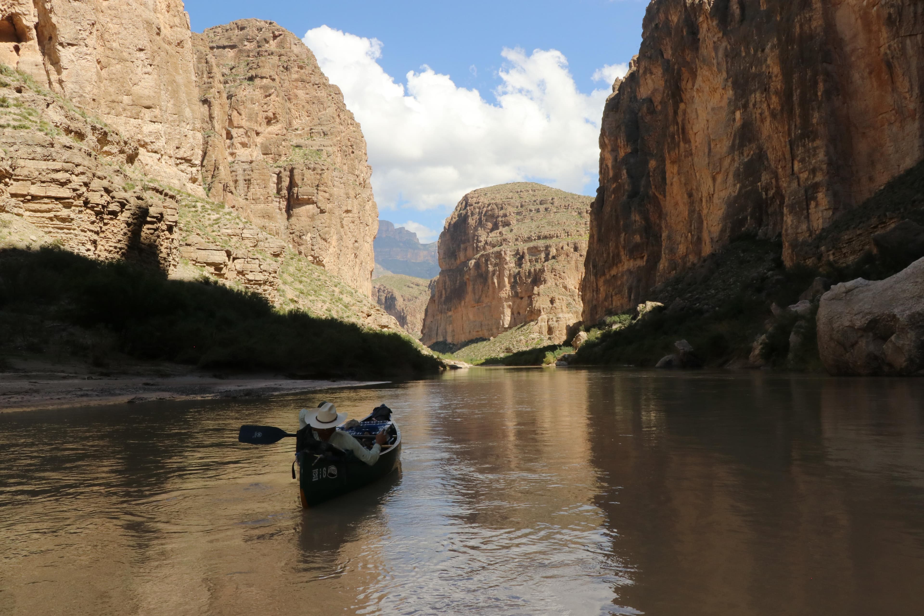
Three major rivers (Pecos River, Devils River, and the Rio Grande) and the Amistad Reservoir occur in Amistad National Recreation Area (NRA). These diverse terrestrial and aquatic systems contribute to Amistad NRA’s high level of biodiversity. Searches for reptiles and amphibians were primarily focused along the eastern shore of the reservoir.
In 2002, the Chihuahuan Desert Network supported a two-year inventory of the vascular plants in Amistad National Recreation Area by the Wildlife Diversity Program of the Texas Parks and Wildlife Department.
Join Ranger Kierra as she shares about the crucial roles that Mussel Dogs; Clean, Drain, Dry; education; early detection; and you play in preventing aquatic invasive species invasions at Amistad National Recreation Area and other parks and waterways.
Across the US, changes in water availability are altering which plants grow where. These changes are evident at a broad scale. But not all areas experience the same climate in the same way, even within the boundaries of a single national park. A new dataset gives park managers a valuable tool for understanding why vegetation has changed and how it might change in the future under different climate-change scenarios.
The Chihuahuan Desert Network is currently developing protocols to monitor several vital signs that may reflect current and future impacts of climate change. This brief offers a summary of how Chihuahuan Desert Network monitoring will detect future change.
How Amistad National Recreation Area connects
This park's activities, topics, location, and on-the-ground places — one hop in the graph. Drag to explore; click an activity, topic, or related park to follow it.
Park
Activity
Topic
State
Campground
VisitorCenter
PassportStamp
ParkingLot
Trail
ThingToDo
Alert
Similar parks
Share activities & topics with Amistad National Recreation Area.