Rio Grande Wild & Scenic River
Texas
Tonight
🌓 65% moon
9.2 h fully dark
Hikes
Easy–Strenuous
🟢 🔴
Crowds
low
Open today
Open
Entrance
$30
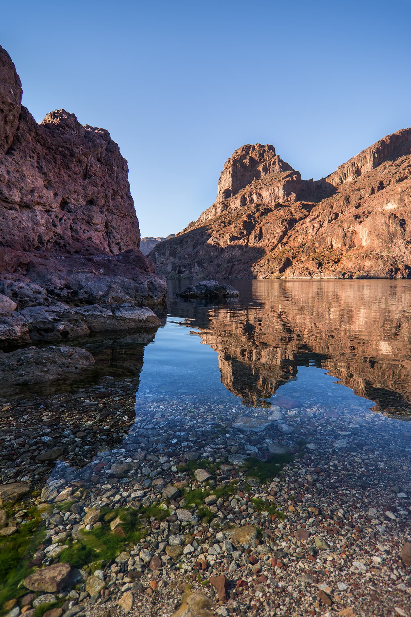
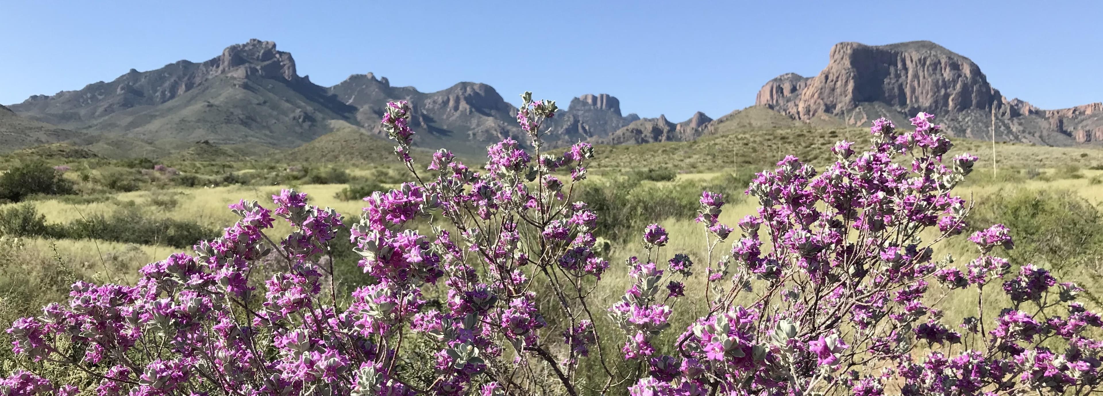
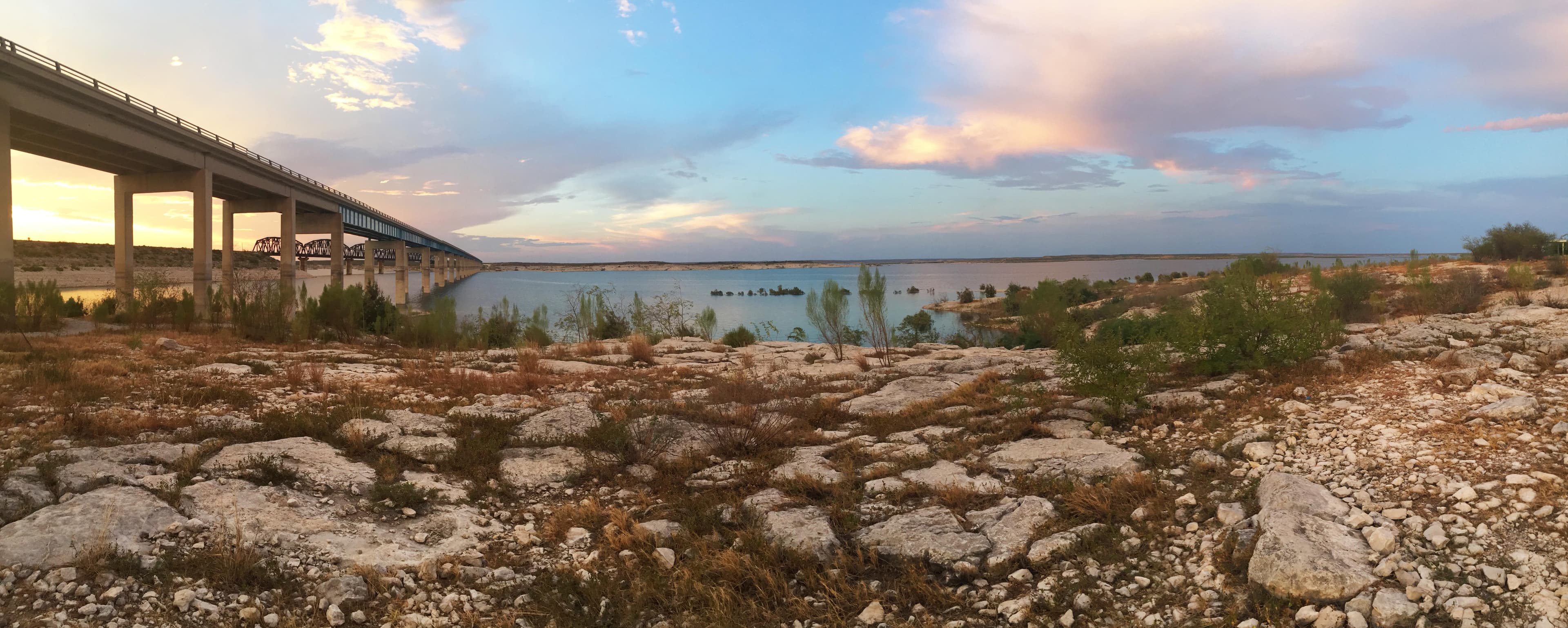
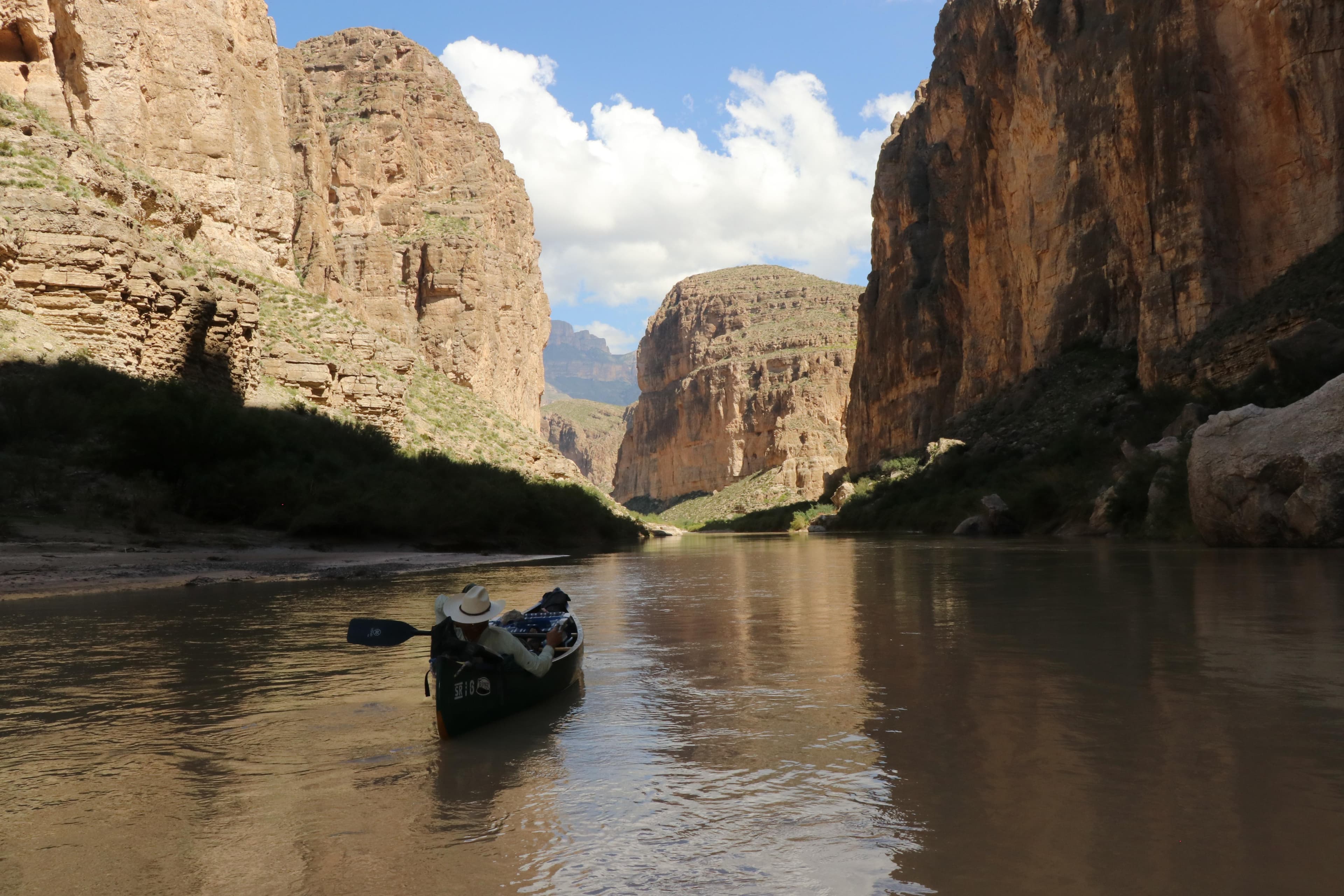
For 196 miles, this free-flowing stretch of the Rio Grande winds its way through desert expanses and stunning canyons of stratified rock. For the well prepared, an extended float trip provides opportunities to explore the most remote corner of Texas and experience the ultimate in solitude, self-reliance, and immersion in natural soundscapes.
Entrance fees
$30.00 — Entrance - Private Vehicle
Hours & seasons
Rio Grande Wild & Scenic River is open 24 hours a day, 365 days per year.
Generally open:
winterspringsummerfallHours are reported by the park — verify before you go.
📞 (432) 477-2251
✉ bibe_info@nps.govConditions
Quietest months (fewer crowds): Apr, Jul, Aug, Sep
Typical crowds: low
Weather now: ⛅ Partly cloudy, 81°F
🌦️ 93°/73°
☁️ 96°/74°
☁️ 94°/73°
Typical monthly recreation visits · NPS avg 2023–2025 — orange months are the quietest by crowds.
Quietest months
Relative crowds by month — lighter is quieter; ringed months are the calmest by crowds.
Jan
27%
Feb
33%
Mar
100%
Apr
7%
May
8%
Jun
25%
Jul
3%
Aug
0%
Sep
3%
Oct
12%
Nov
18%
Dec
34%
Log a sky reading
Measured the sky with an SQM meter or app? Add your reading (16 = city glow … 22 = pristine). Opt in under “Travelers like you” to share it on the community leaderboard.
Things to do
Big Bend Junior Rangers
View the Night Sky
🟢 See the Rio Grande · 100 mi
Visit Boquillas, Mexico · 2 mi
Join A Ranger
🔴 Become a Big Bend Expert
Find The Perfect Sunrise & Sunset · 14 mi · 2000 ft gain
Enjoy Sunset at Rio Grande Village
Visitor centers
Rio Grande Village Visitor Center
Accessibility
32 audio-described place(s)
Reported by the park — verify before you go.
Not an official safety source — always defer to NPS.gov and rangers for life-safety decisions.
By the numbers
A visual read on Rio Grande Wild & Scenic River — its character, trails, sky, and weather.
Park fingerprint
How this park scores across the dimensions travelers care about.
Trail difficulty
Difficulty mix across this park's trails.
Trail profile
Each dot is a trail — distance vs. elevation gain, by difficulty.
3-day forecast
Daily high and low temperatures (°F).
Places to see
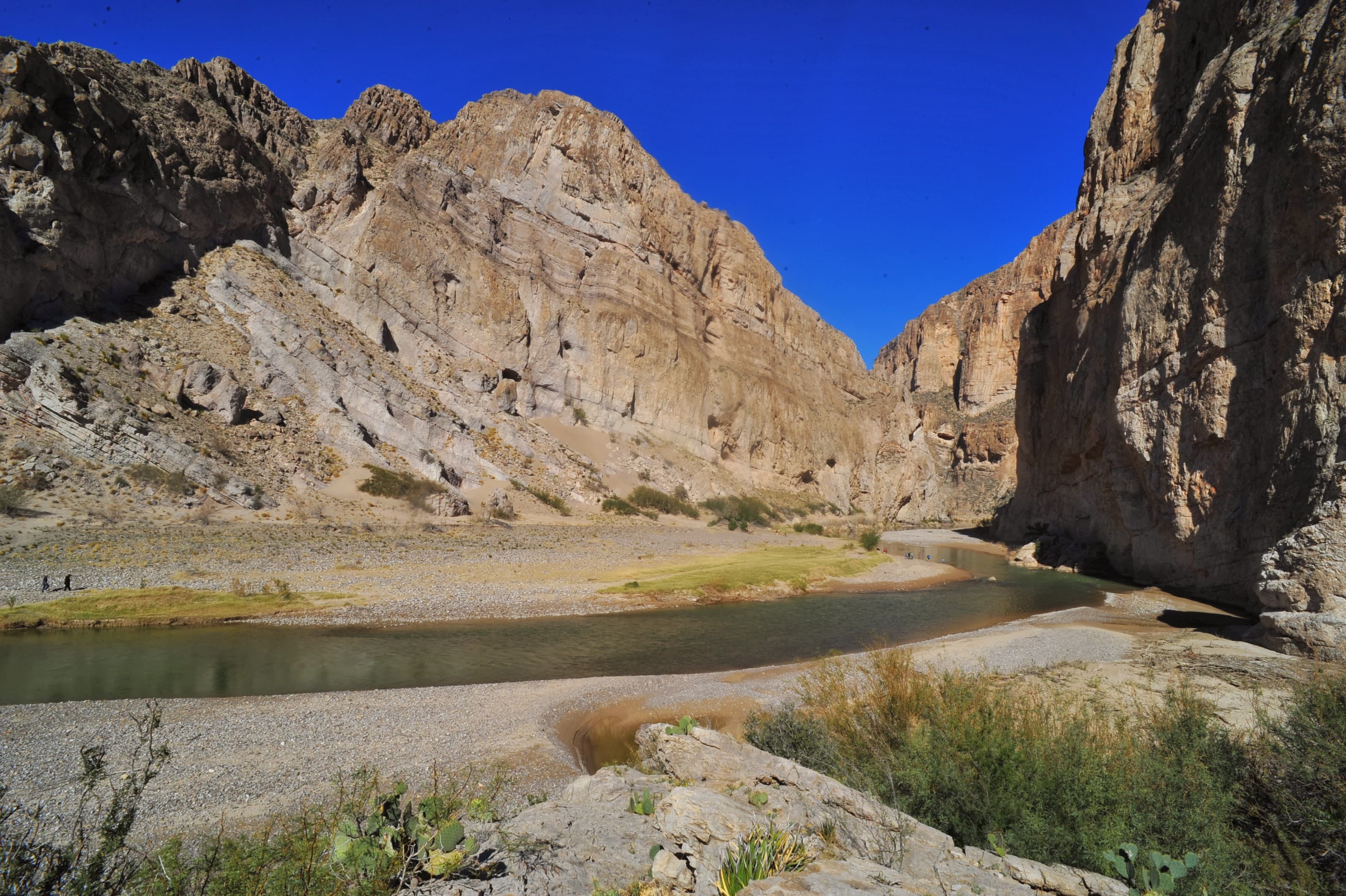
Boquillas Canyon Trail
audio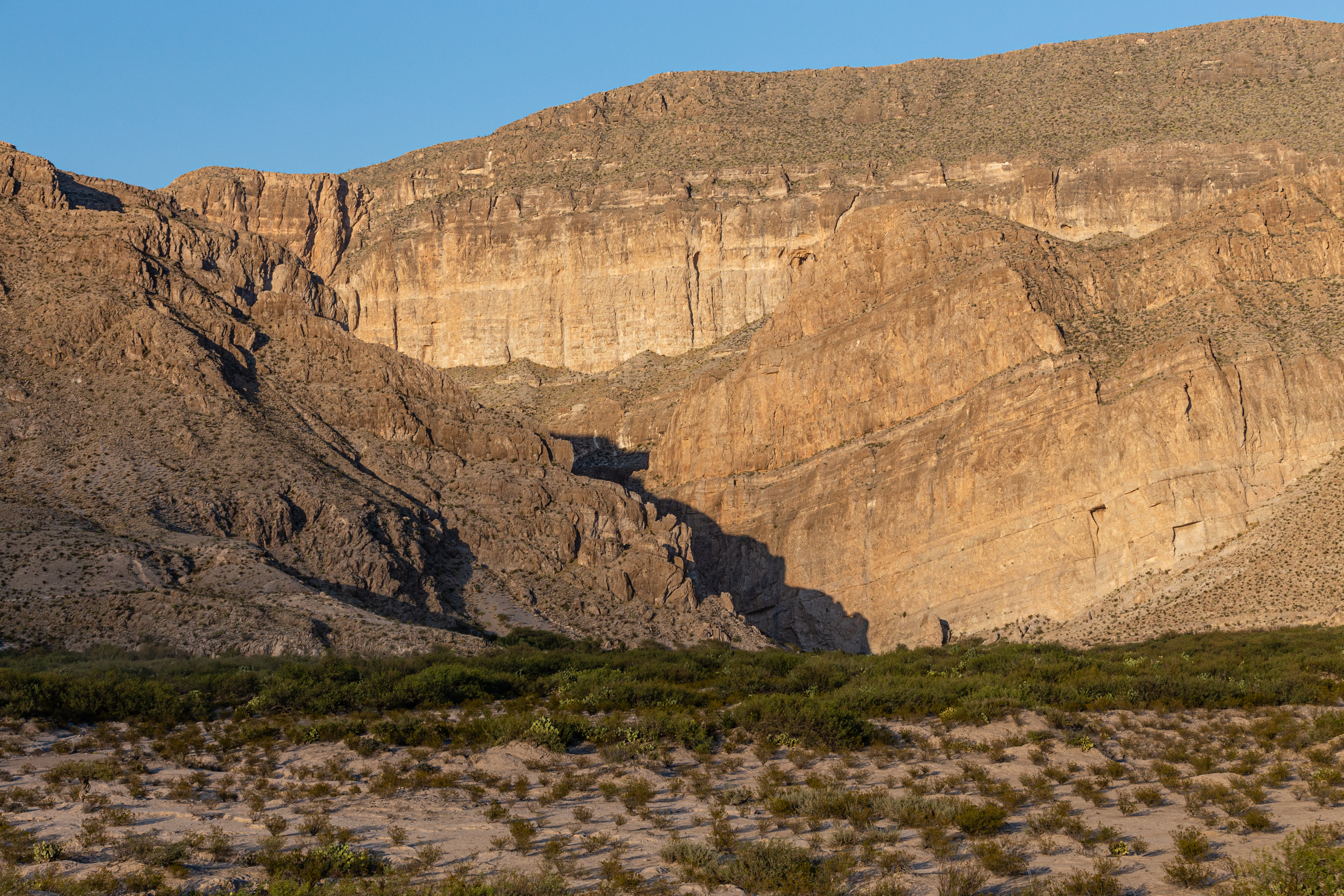
Boquillas Overlook
audio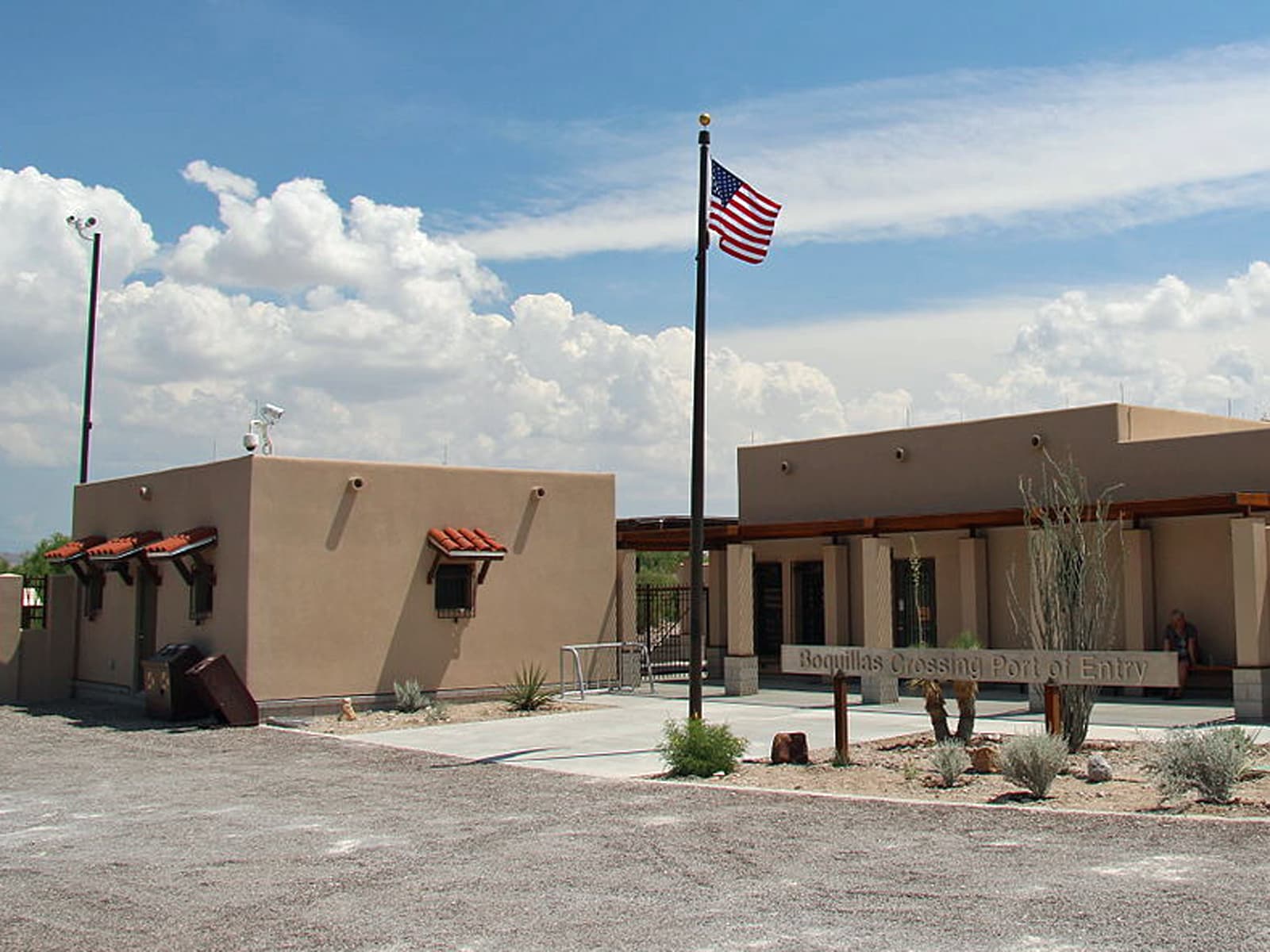
Boquillas Port of Entry
audio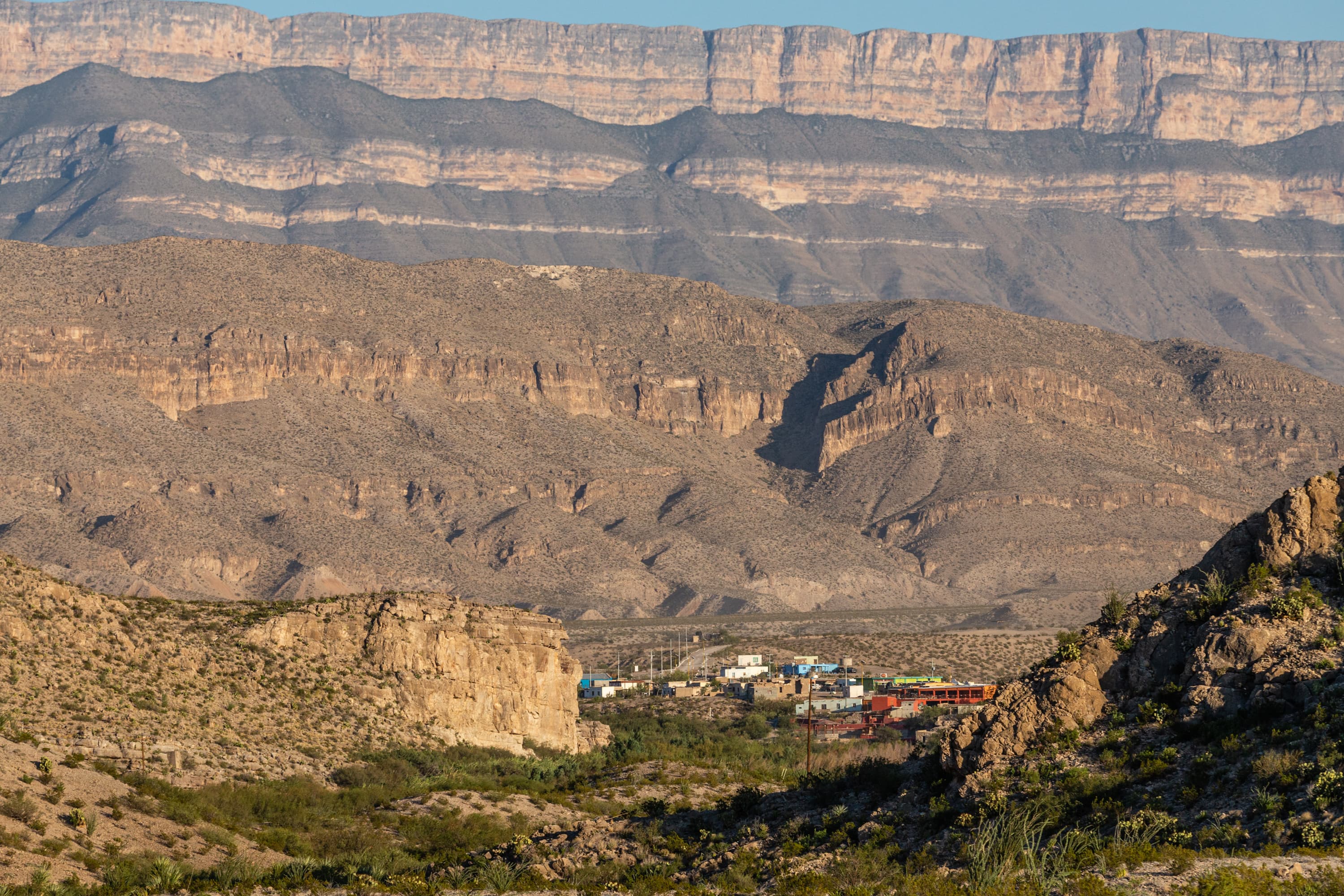
Boquillas, Mexico
audio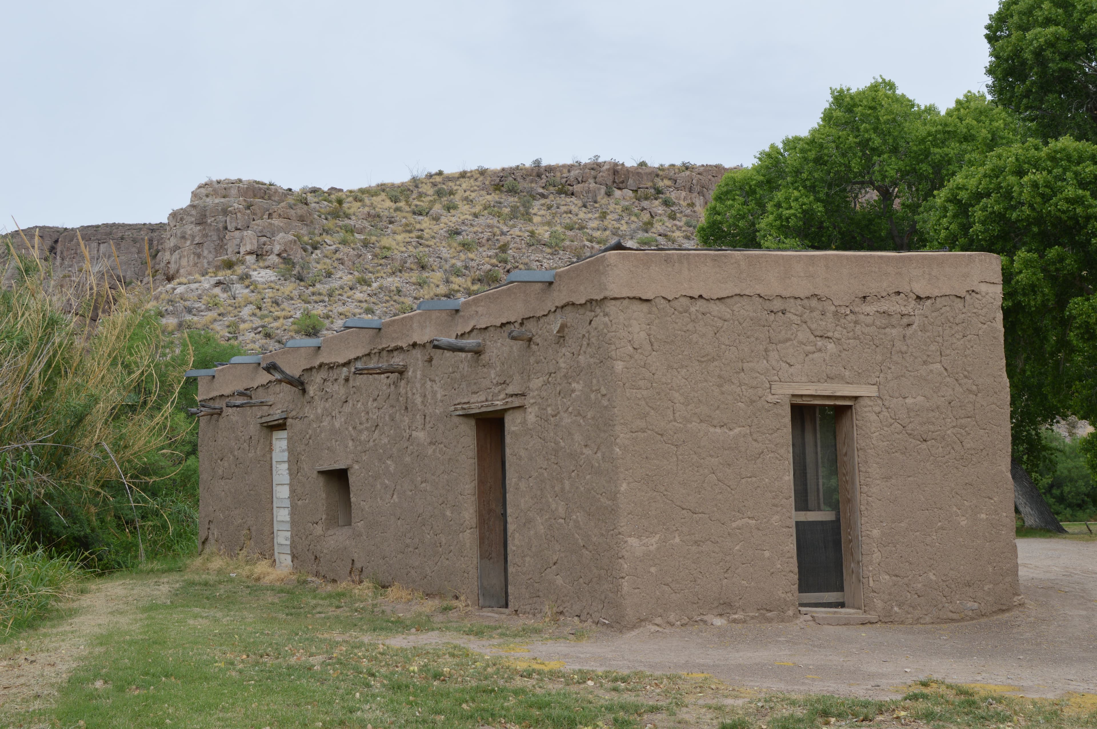
Daniels Ranch
audio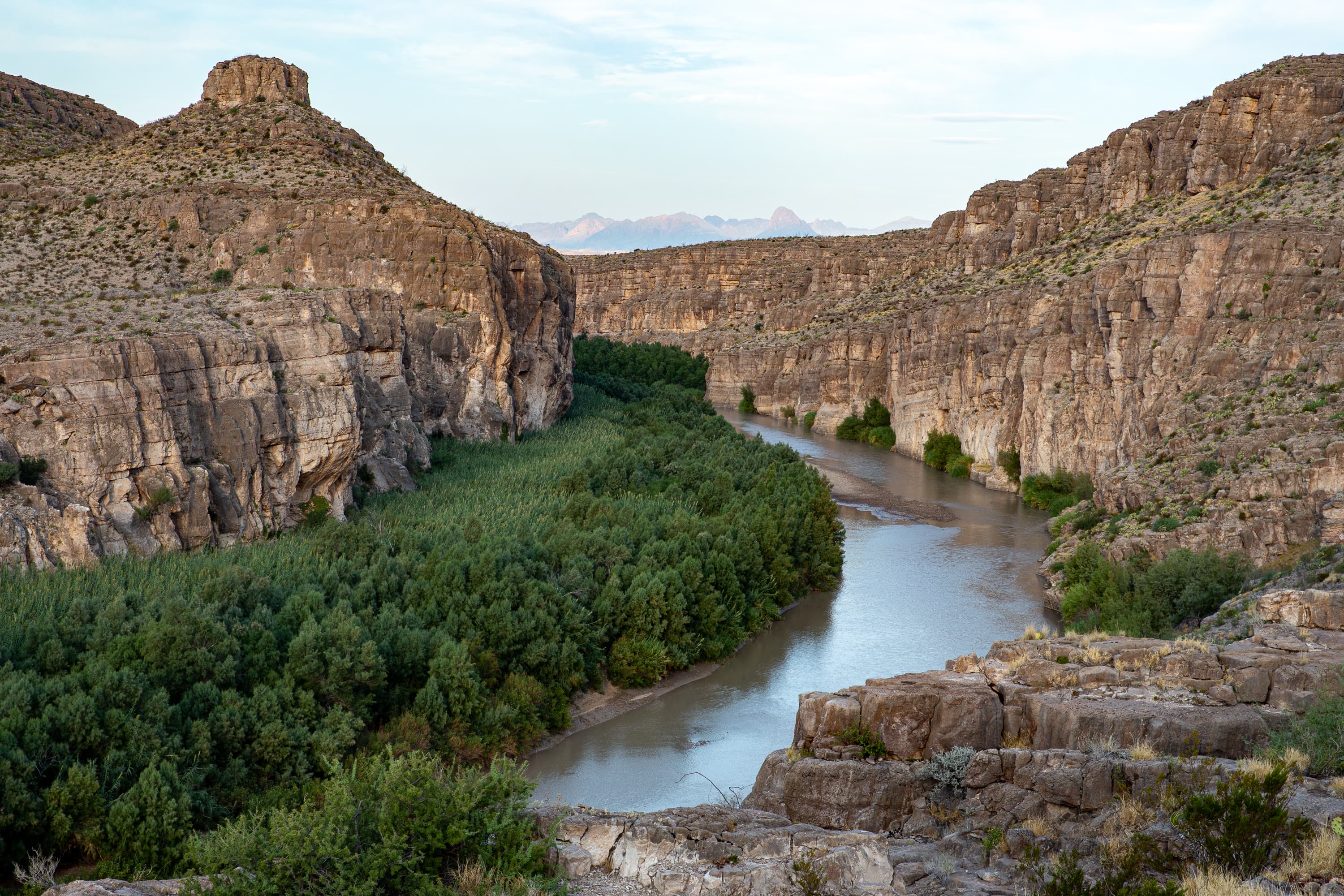
Ernst Ridge Trailhead - Daniels Ranch
audio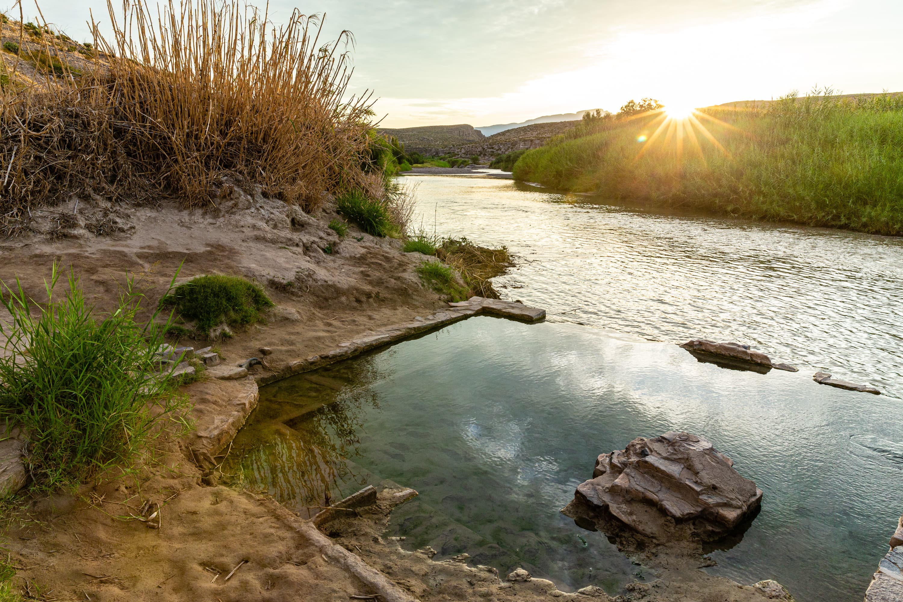
Hot Springs
audio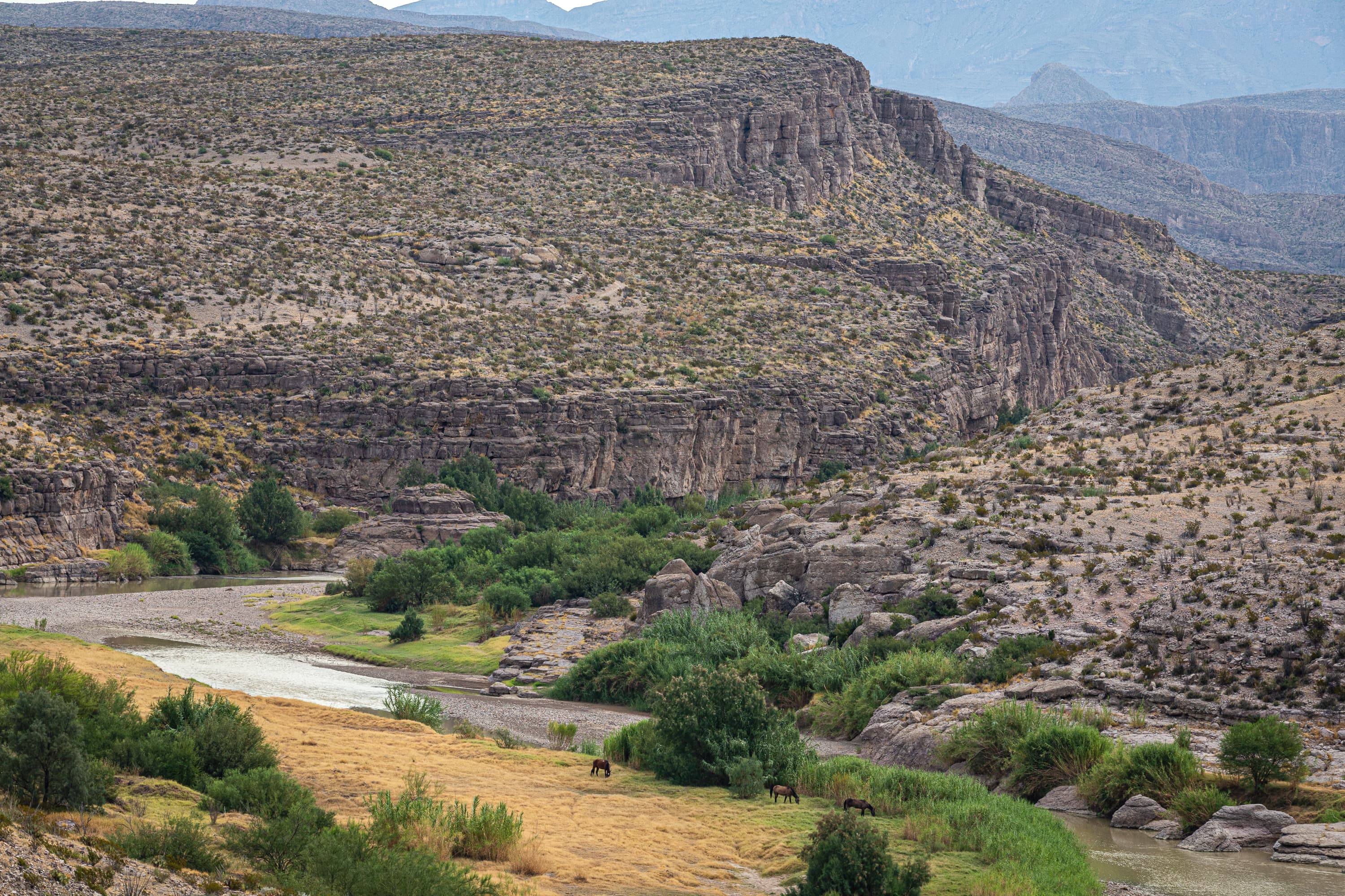
Hot Springs Historic Trail
audio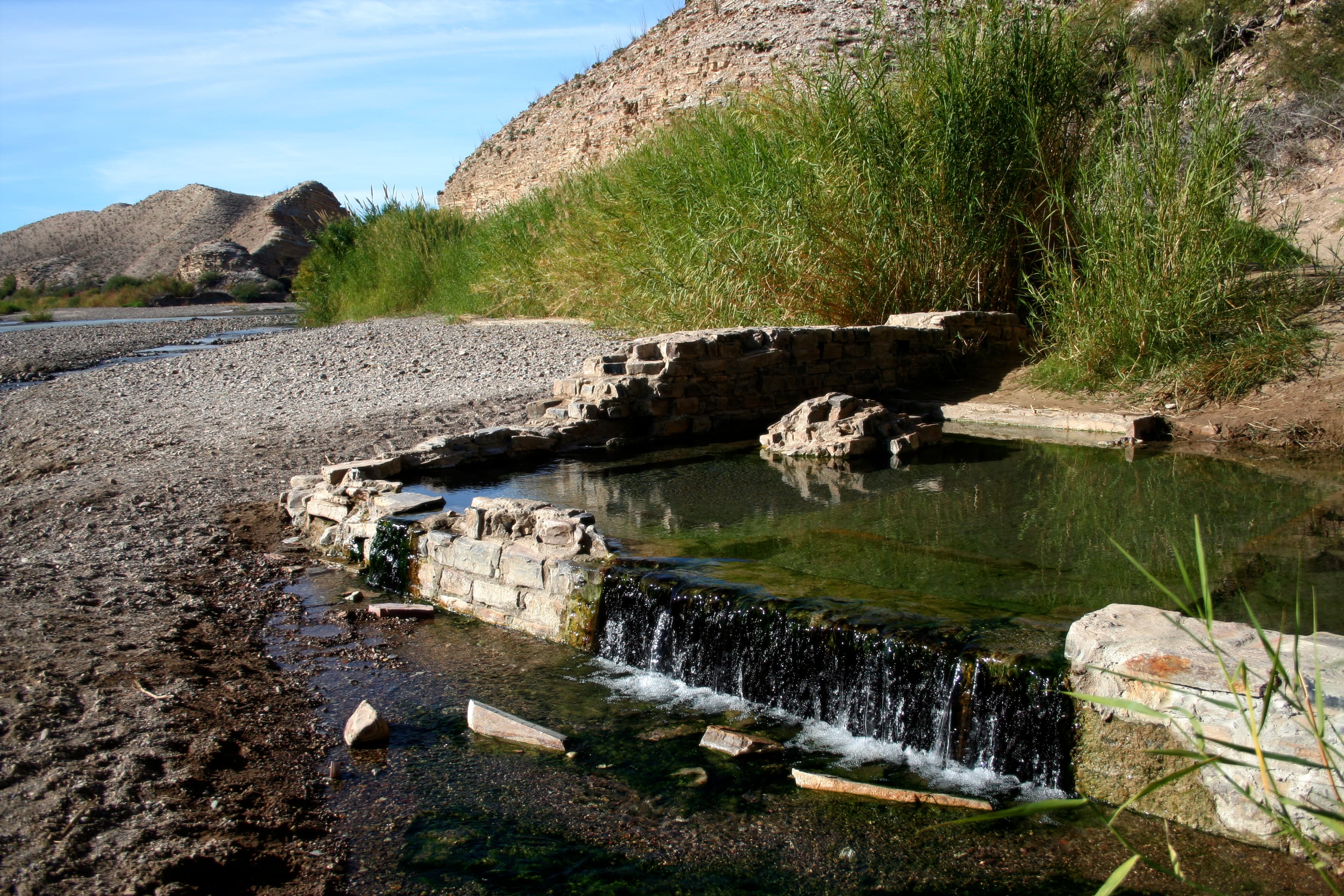
Langford Hot Springs
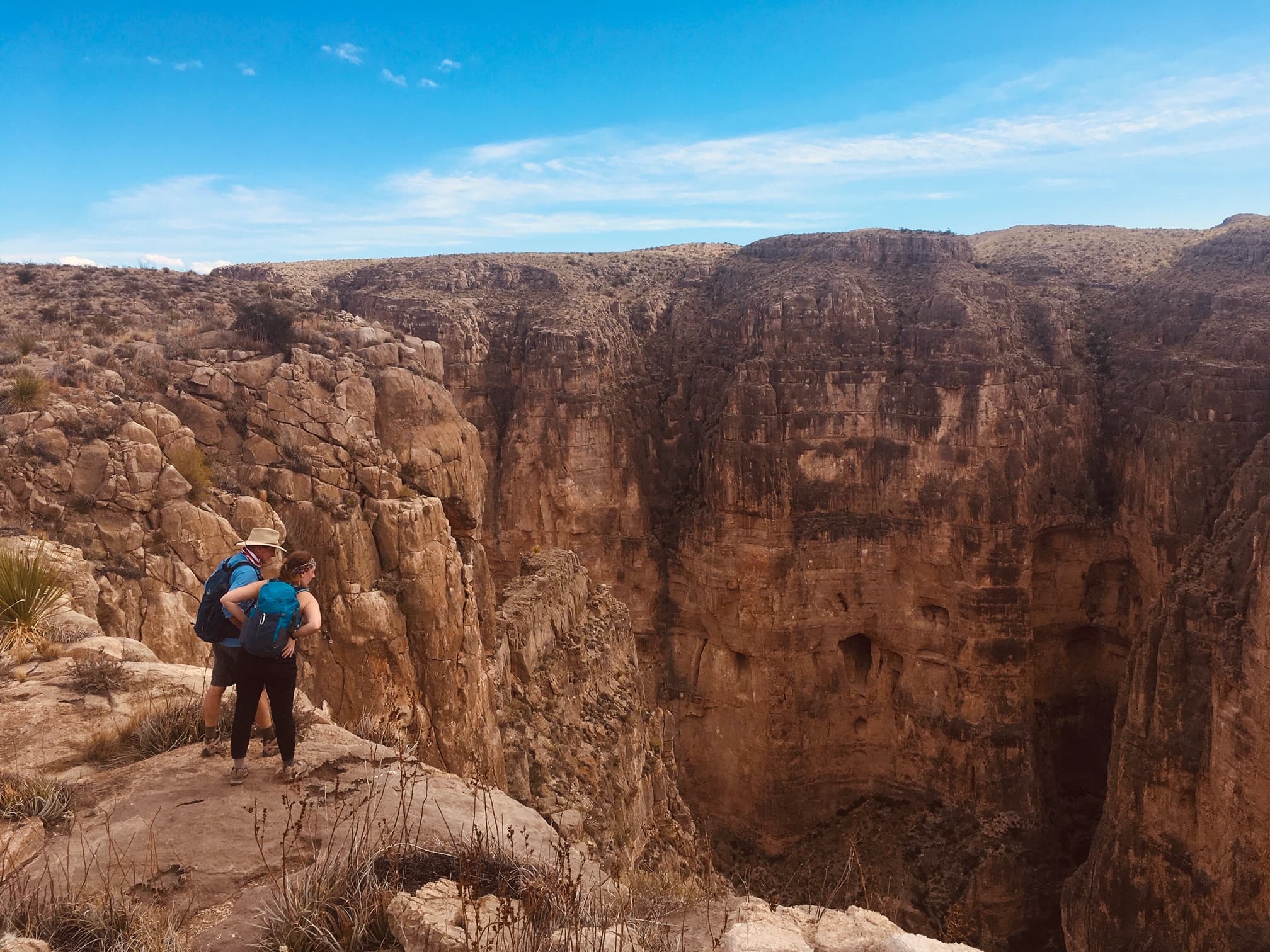
Mariscal Canyon Rim Trail
audio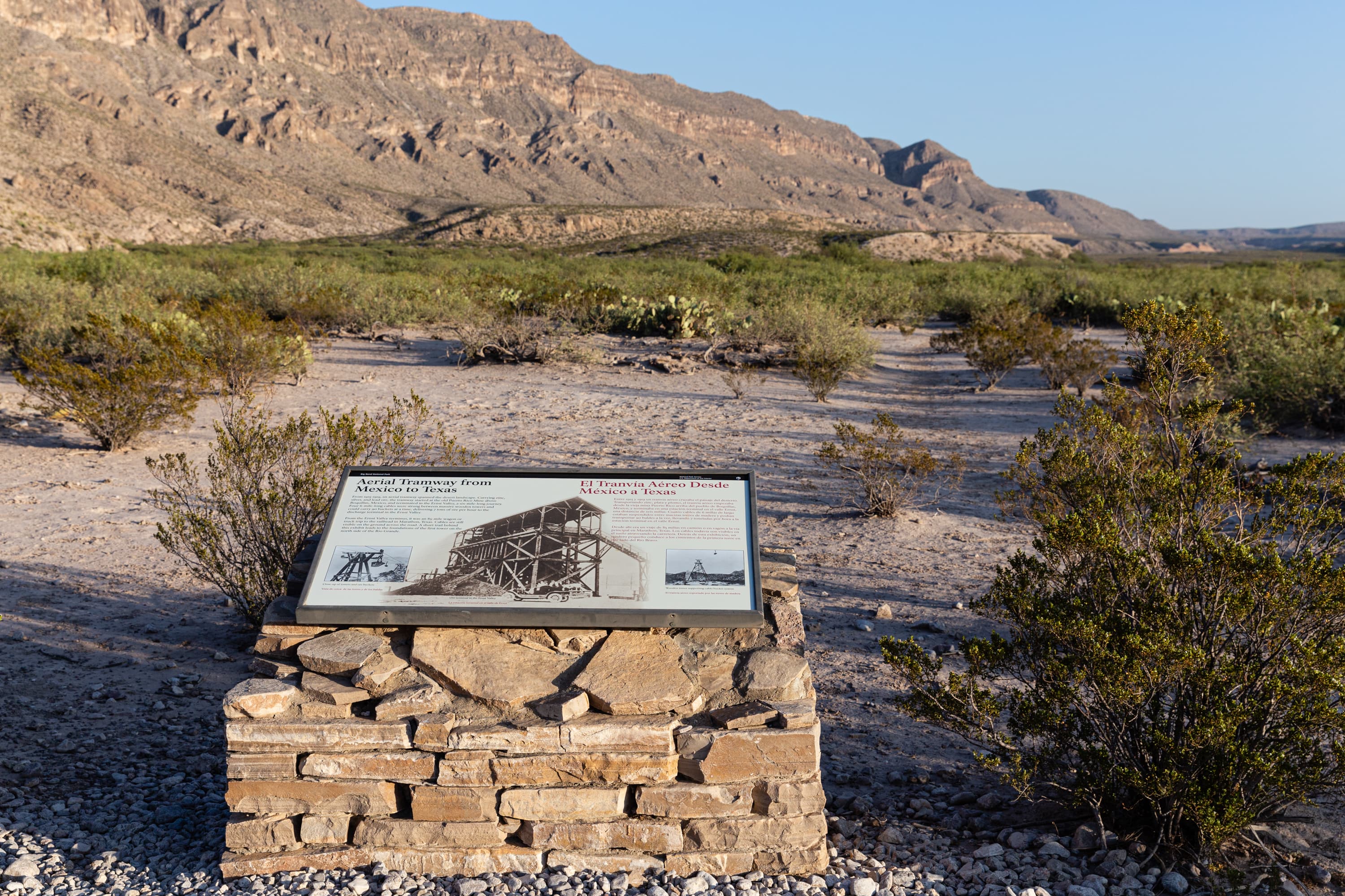
Ore Tramway Exhibit
audio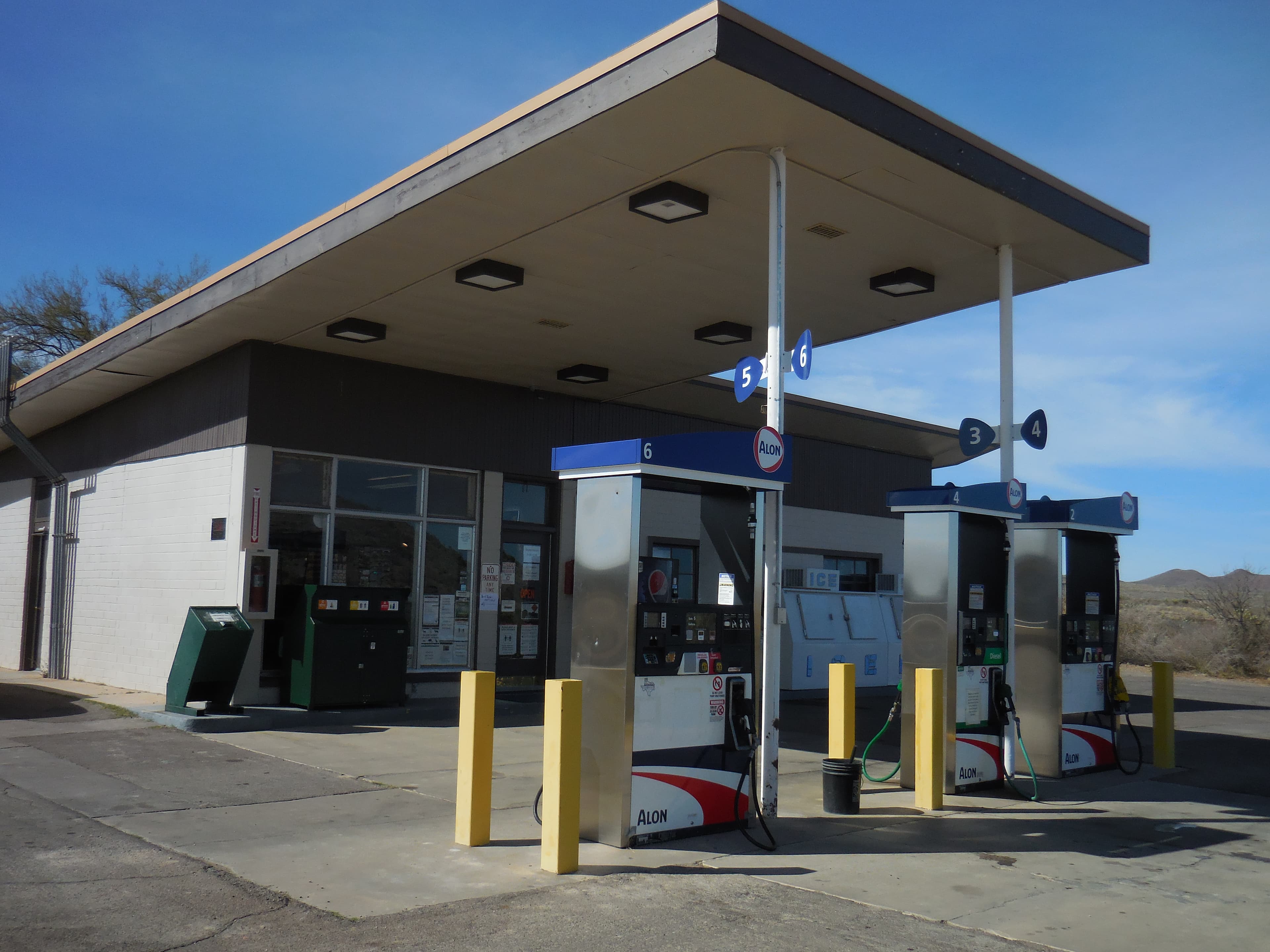
Panther Junction Service Station
audioAudio & media
🎧
🎬
🖼
Learn more
When the climate changes enough, the vegetation communities growing in any given place will also change. Under an expanded bimodal climate zone, some plant communities in western national parks are more likely to change than others. National Park Service ecologists and partners investigated the future conditions that may force some of this change. Having this information can help park managers decide whether to resist, direct, or accept the change.
Three park units in the Chihuahuan Desert Network, Big Bend National Park (NP), Carlsbad Caverns NP, and Guadalupe Mountains NP are designated as Class I air quality areas under the Clean Air Act. Class I areas receive the highest protection under the act, and degradation of air quality must be minimal. Air quality concerns include atmospheric deposition effects and visibility impairment from fine particle haze.
Big Bend National Park Conducts Prescribed Burn While Taking Coronavirus Precautions
Across the US, changes in water availability are altering which plants grow where. These changes are evident at a broad scale. But not all areas experience the same climate in the same way, even within the boundaries of a single national park. A new dataset gives park managers a valuable tool for understanding why vegetation has changed and how it might change in the future under different climate-change scenarios.
The Chihuahuan Desert Network is currently developing protocols to monitor several vital signs that may reflect current and future impacts of climate change. This brief offers a summary of how Chihuahuan Desert Network monitoring will detect future change.
Climate is one of many ecological indicators monitored by the National Park Service (NPS) Division of Inventory & Monitoring (I&M). Climate data help scientists to understand ecosystem processes and help to explain many of the patterns and trends observed in other natural-resource monitoring. In NPS units of the American Southwest, three I&M networks monitor climate using the scientific protocol described here.
The first dinosaur footprints have been recently discovered along the banks of the Rio Grande Wild and Scenic River in Texas. The tracks are preserved in Cretaceous age rocks and represent footprints left by a bipedal theropod dinosaur.
Read the abstract and get the link to a published paper on how dragonfly mercury studies uncover unexpected atmospheric delivery pathways: Janssen, S.E., C.J. Kotalik, J.J. Willacker, M.T. Tate, C. Flanagan Pritz, S.J. Nelson, D.P. Krabbenhoft, D. Walters, and C. Eagles-Smith. 2024. Geographic Drivers of Mercury Entry into Aquatic Foods Webs Revealed by Mercury Stable Isotopes in Dragonfly Larvae. Environmental Science & Technology. DOI: 10.1021/acs.est.4c02436
How Rio Grande Wild & Scenic River connects
This park's activities, topics, location, and on-the-ground places — one hop in the graph. Drag to explore; click an activity, topic, or related park to follow it.
Park
Activity
Topic
State
VisitorCenter
ThingToDo
Similar parks
Share activities & topics with Rio Grande Wild & Scenic River.