Grand Canyon-Parashant National Monument
Arizona
Tonight
🌓 65% moon
8.9 h fully dark
Open today
Open
Entrance
Free entry
Dellenbaugh Fire
Lightning caused wildfire approximately 3 miles south of Mount Dellenbaugh. Avoid the area.
Official NPS alert →Stage 1 Fire Restrictions
Stage 1 fire restrictions in effect as of May 22, 2026. Use of portable gas stoves is permitted. Prohibited Actions: No open fires, No smoking outdoors within 3 feet of vegetation, No welding or similar devices, No flares, fireworks, etc.
Looking for a Grand Canyon view? A warning about mobile devices and map/navigation apps
Map apps may direct you to Parashant if you search for directions to "Grand Canyon" due the canyon's name in both the national park and monument names. The national park has paved roads and services. Parashant has no services and rugged/remote conditions.
Official NPS alert →Arizona Off-Highway Vehicle (OHV) Requirements for Residents and Non-residents.
Off-highway vehicles (OHVs) are required by law to display a valid OHV decal to operate on public and state trust lands in Arizona. This includes “street legal” vehicles that meet these two requirements.
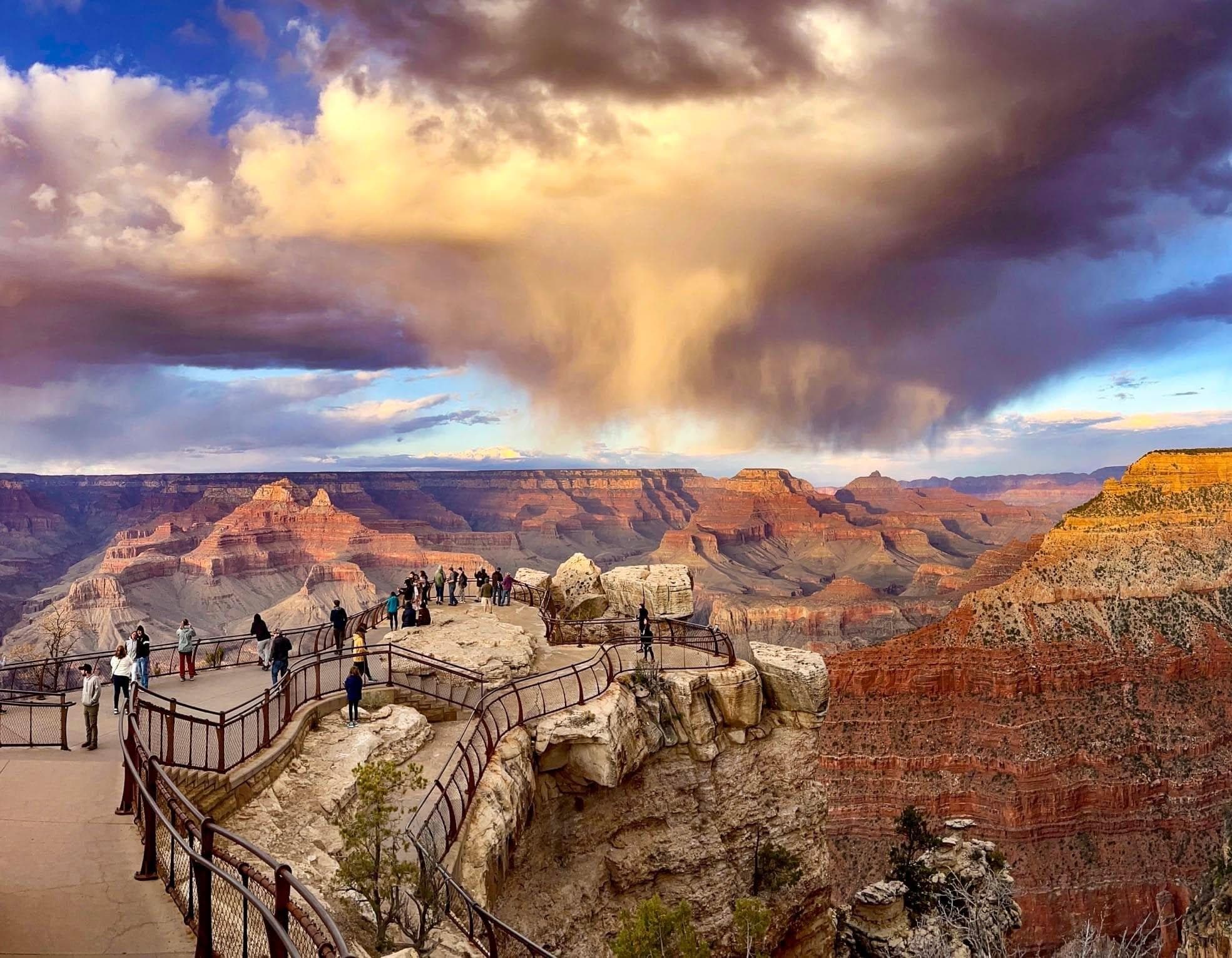
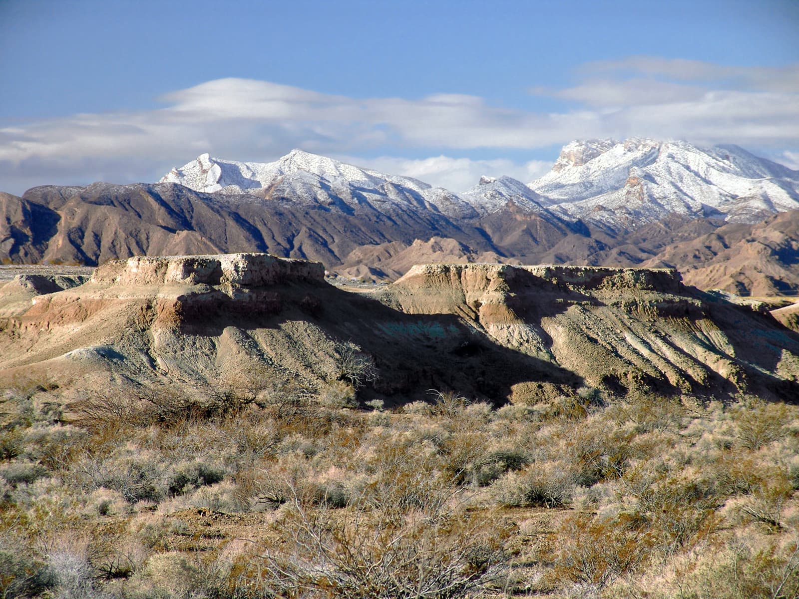
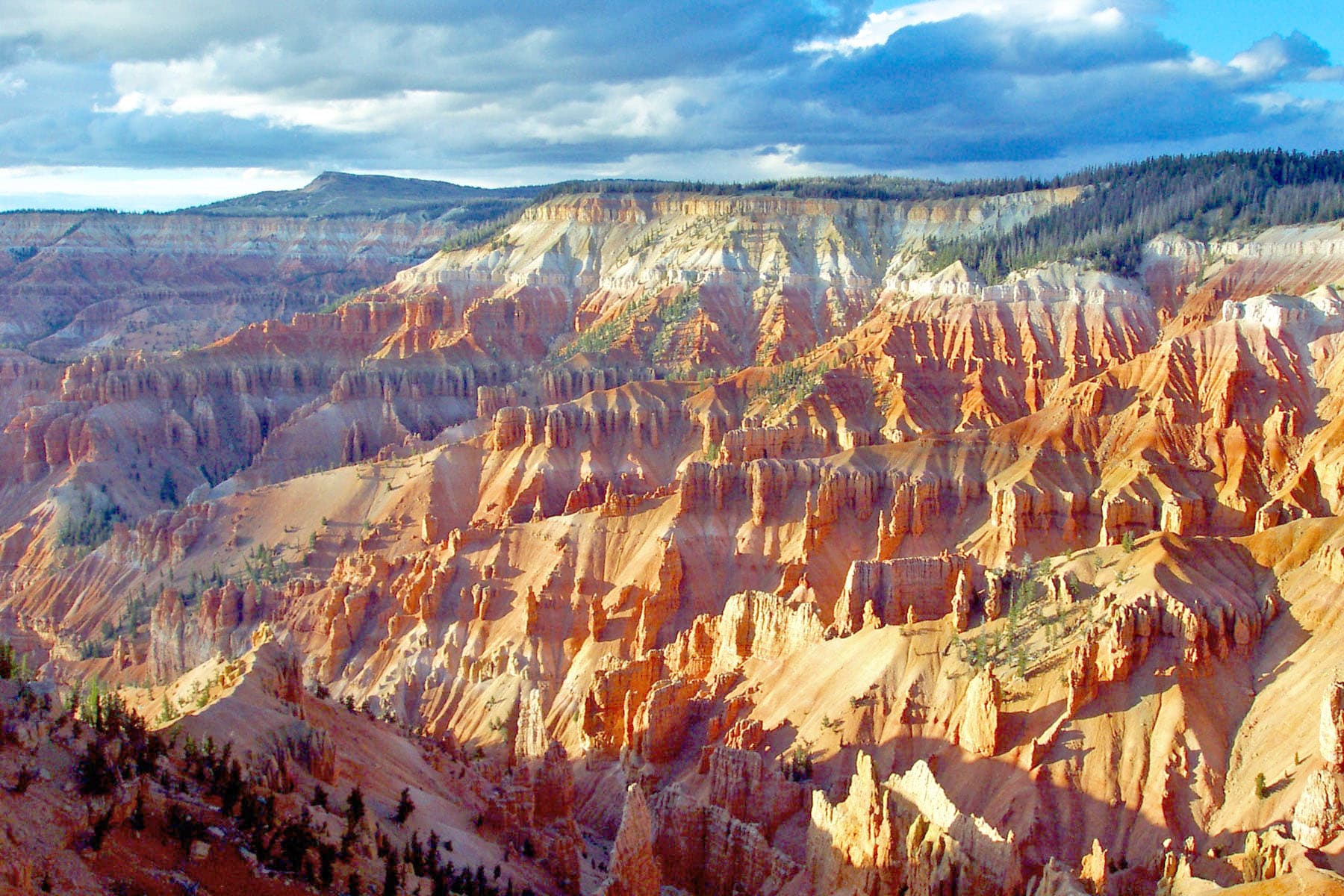
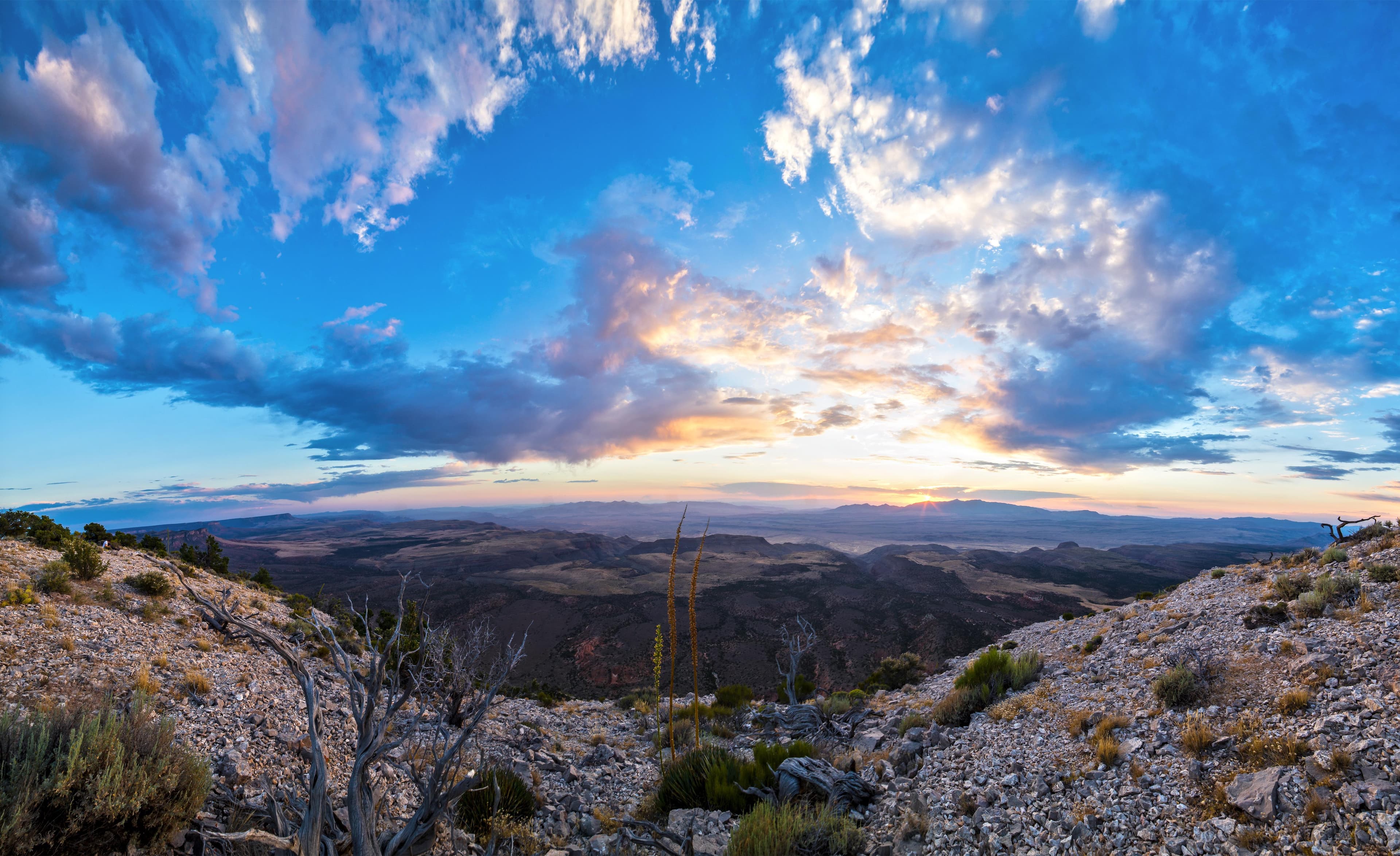
Official NPS alert →Despite the hardships created by rugged isolation and the lack of natural waters, Parashant has a long human history spanning more than 11,000 years, and an equally rich geologic history spanning almost two billion years. Full of natural splendor and a sense of solitude, this area remains remote and unspoiled, qualities that are essential to the protection of its scientific and historic resources.
Activities
Topics
No entrance fee.
Hours & seasons
The monument is open every day of the year, however many areas may be inaccessible when roads are impassable. Within the boundaries of Grand Canyon-Parashant there are no facilities or visitor contact stations. Do not rely on your cellphone - there is no cell service on the monument. Roads can be impassable during the monsoon season, July through September, and after winter storms.
Generally open:
winterspringsummerfallHours are reported by the park — verify before you go.
📞 (435) 688-3200
✉ para_interpretation@nps.govConditions
Weather now: ☁️ Overcast, 76°F
☁️ 76°/53°
☁️ 77°/59°
☁️ 74°/58°
Log a sky reading
Measured the sky with an SQM meter or app? Add your reading (16 = city glow … 22 = pristine). Opt in under “Travelers like you” to share it on the community leaderboard.
Live conditions
Things to do
NPS Passport Stamp
Visitor centers
Public Lands Center
Accessibility
1 audio-described place(s)
Reported by the park — verify before you go.
Not an official safety source — always defer to NPS.gov and rangers for life-safety decisions.
By the numbers
A visual read on Grand Canyon-Parashant National Monument — its character, trails, sky, and weather.
Park fingerprint
How this park scores across the dimensions travelers care about.
Trail difficulty
Difficulty mix across this park's trails.
3-day forecast
Daily high and low temperatures (°F).
People & stories
Figures tied to Grand Canyon-Parashant National Monument — each spans a cross-park journey.
Mattie May Lee
Passport stamps
Mark the stamps you've collected — they show in your memory and along your routes.
🎫 Public Lands Center
🎫 Public Lands Visitor Center
Places to see
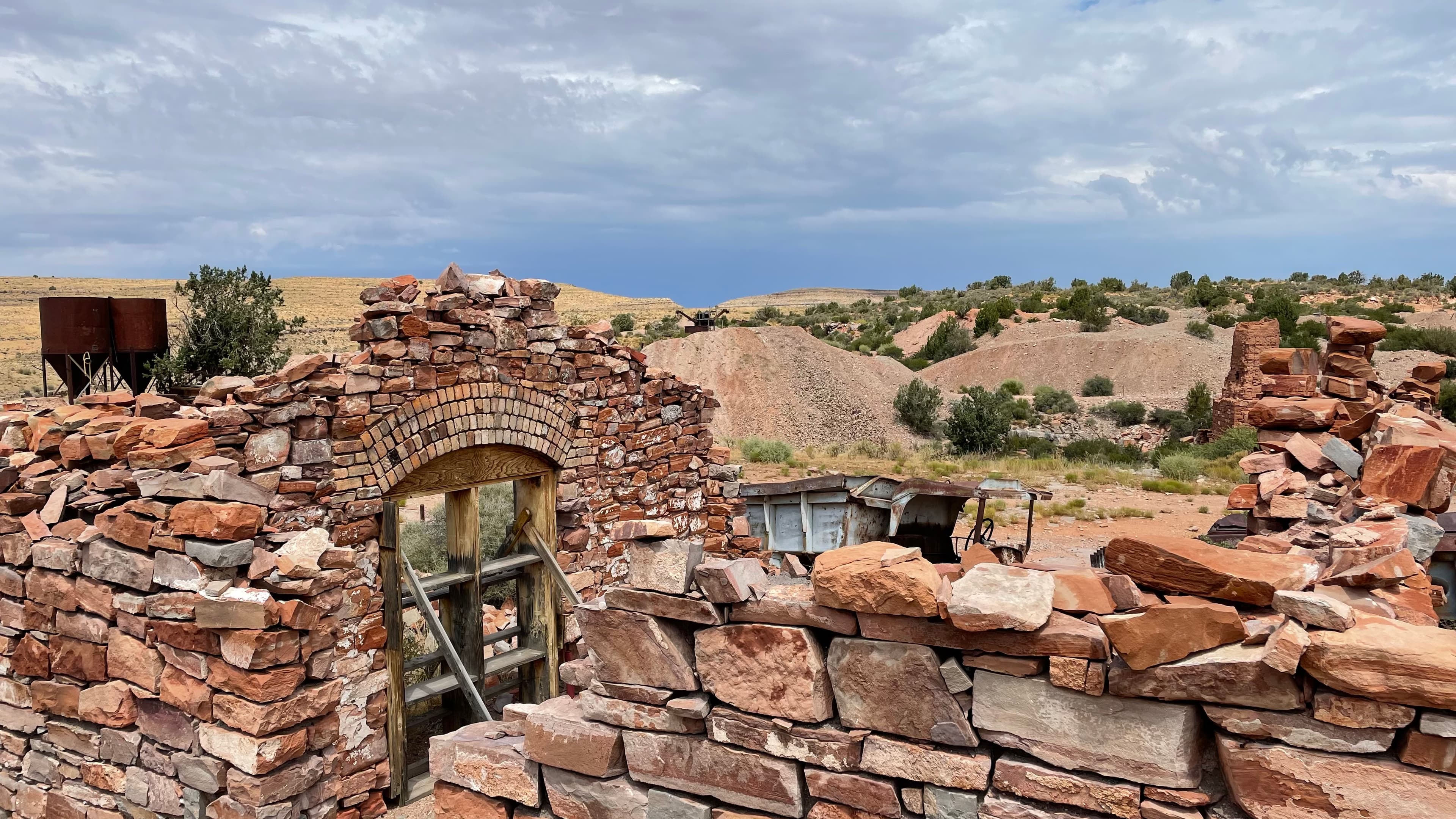
Grand Gulch Mine
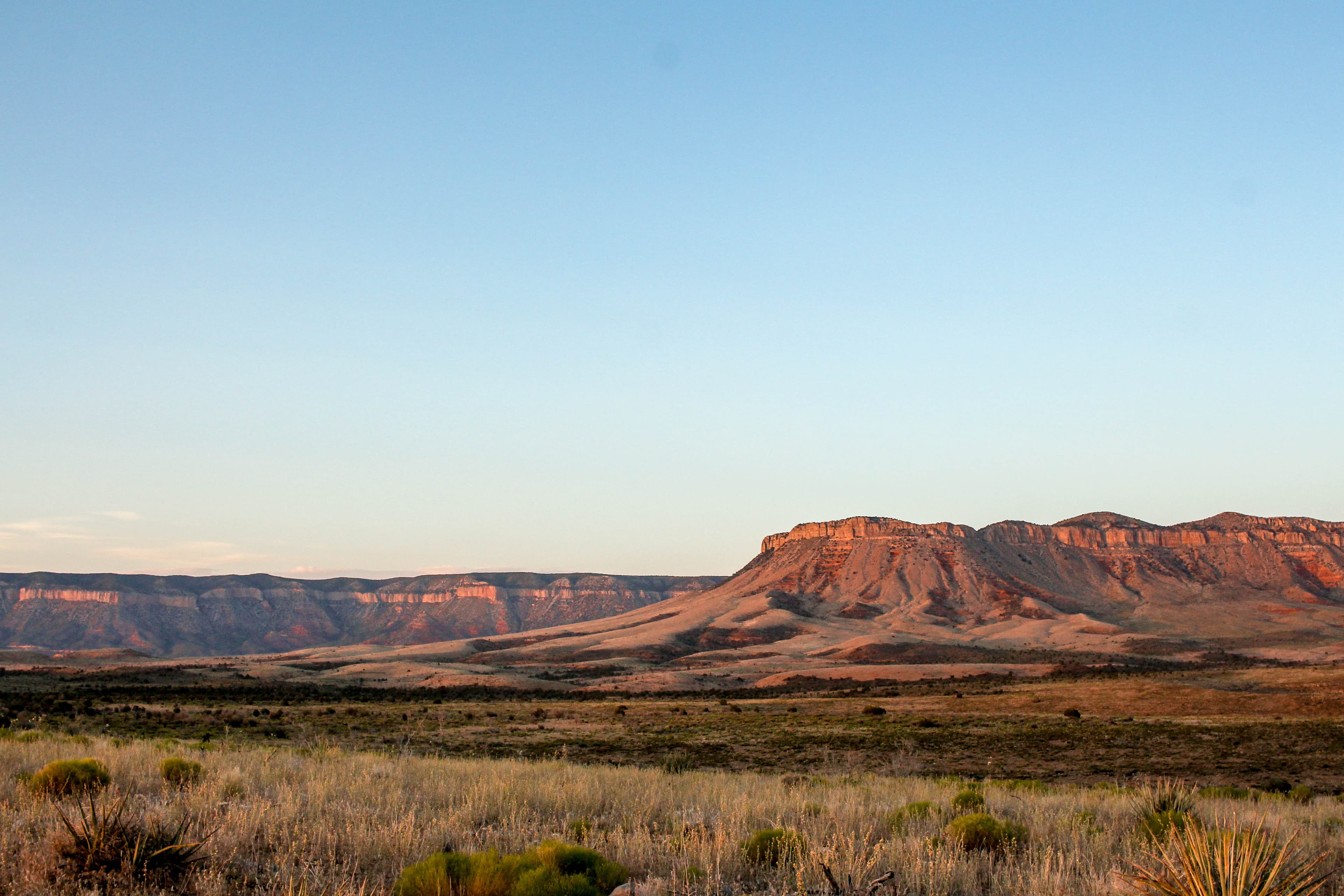
Grand Wash Cliffs Wilderness
audio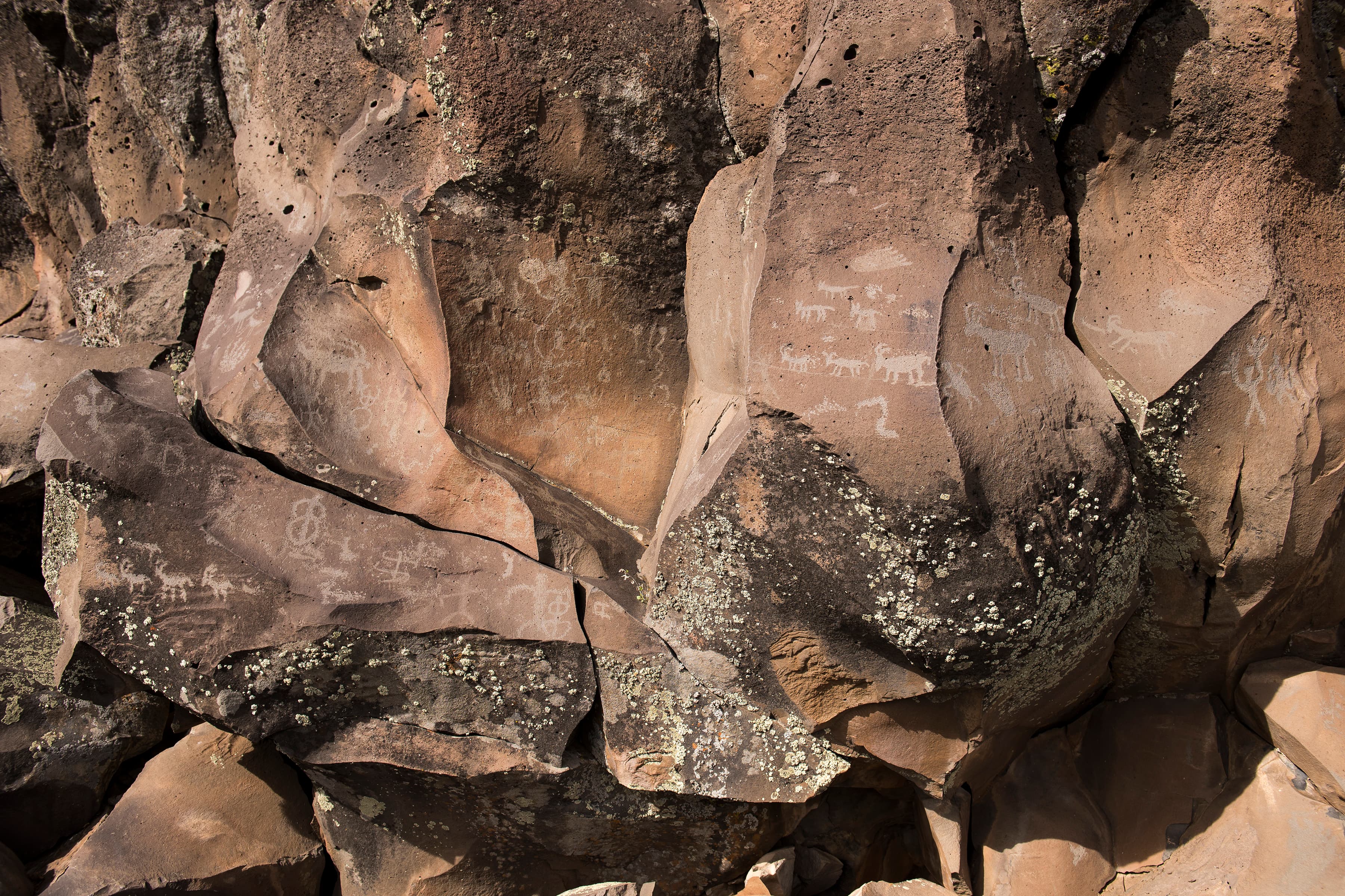
Nampaweap
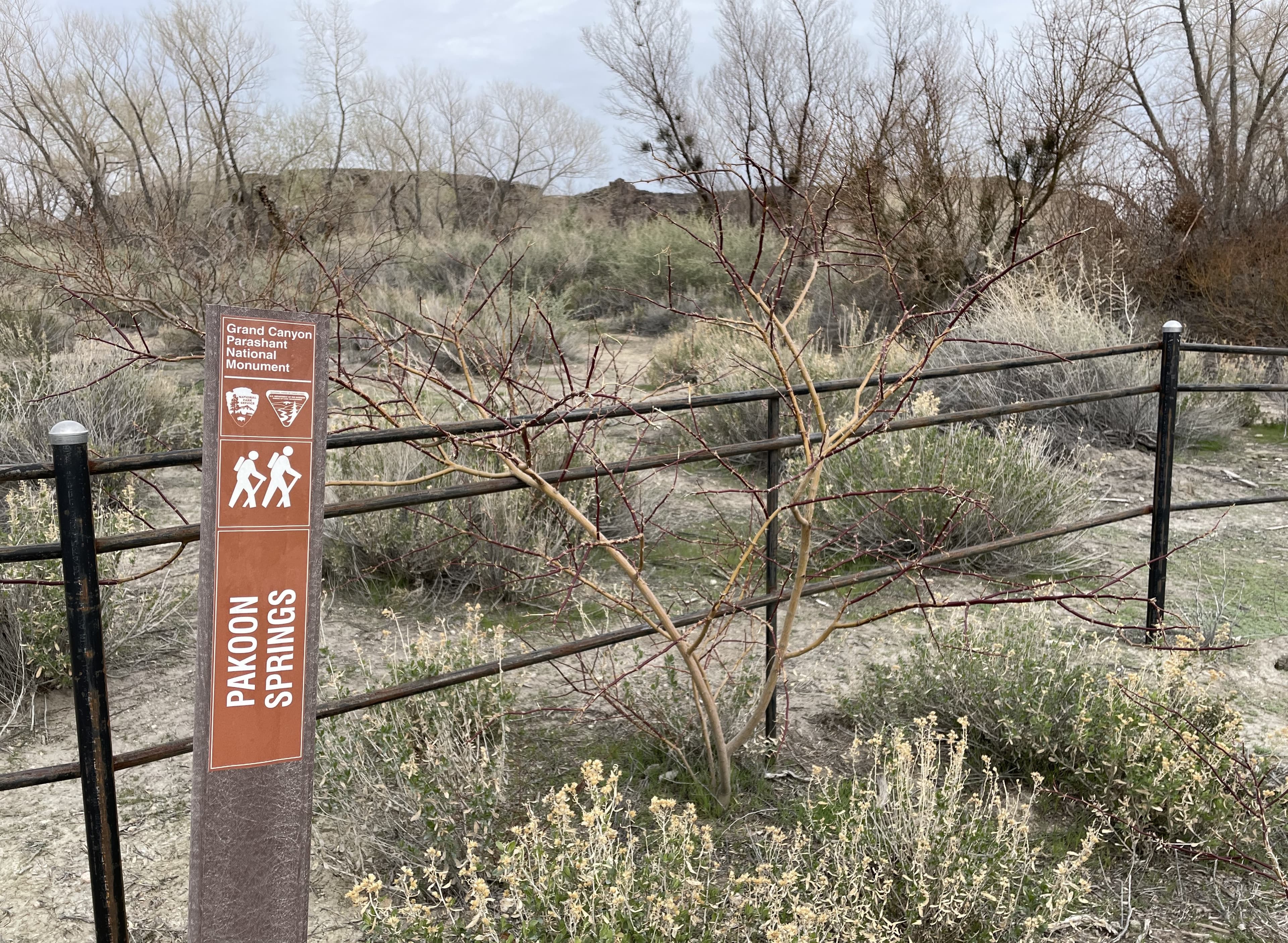
Pakoon Springs
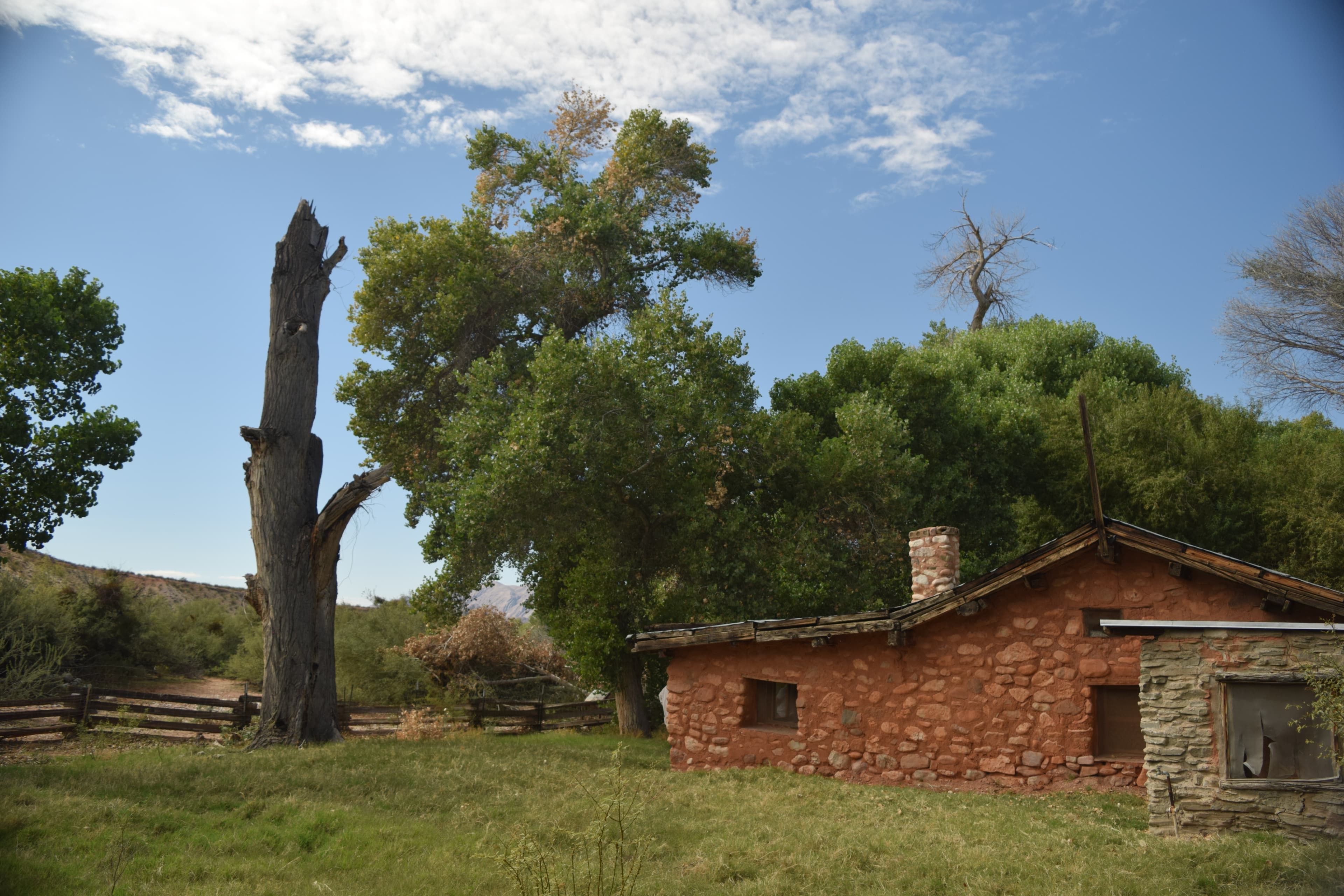
Tassi Ranch
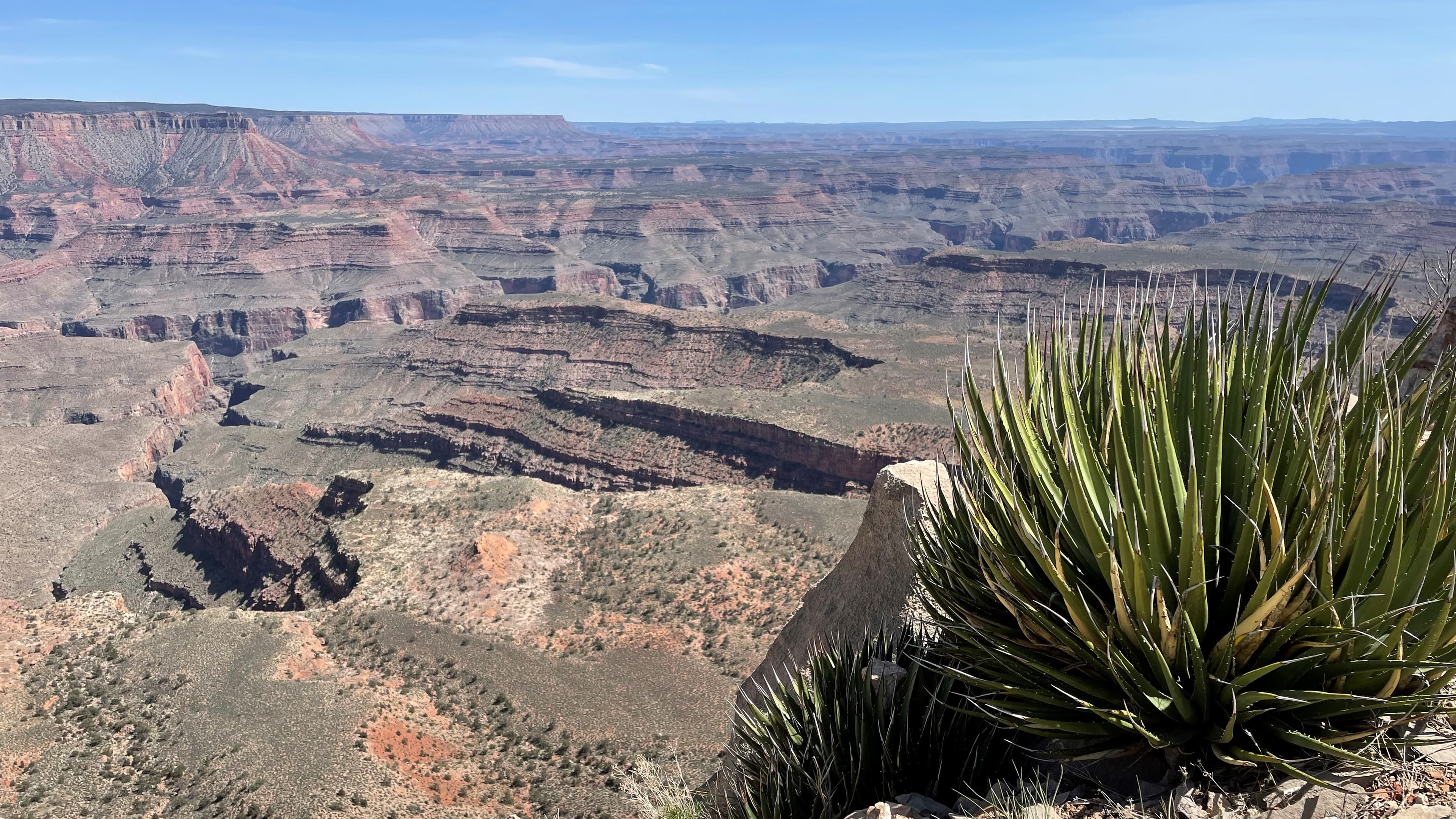
Twin Point Overlook
Audio & media
🎧 John Snyder | Oral History ↗ · 32 mintranscript
🎧 Charles "Chuck" Kenneth Simmons | Oral History ↗ · 46 mintranscript
🎧 Ferron Leavitt | Oral History ↗ · 65 mintranscript
🎧 Orvel Allen Bundy | Oral History ↗ · 47 mintranscript
🎧 Verdon Heaton | Oral History ↗ · 33 mintranscript
🎬
🖼
Learn more
In late June 2021, the lightning-ignited Andrus Canyon Fire was discovered burning in a pinyon-juniper dominated woodland with little to no understory on the eastern side of Grand Canyon-Parashant National Monument. Previous relationships with the Bureau of Land Management (BLM), Color County Interagency Fire Center, and other partners allowed NPS fire leadership to quickly mobilize personnel and crews.
Bats are amazing animals and a formidable force against insect pests, but a nasty fungal disease is killing them. A coordinated national response brings hope.
Species description of the California Condor (Gymnogyps californianus).
A tagged California condor flies free. NPS Photo/ Don Sutherland
Across the US, changes in water availability are altering which plants grow where. These changes are evident at a broad scale. But not all areas experience the same climate in the same way, even within the boundaries of a single national park. A new dataset gives park managers a valuable tool for understanding why vegetation has changed and how it might change in the future under different climate-change scenarios.
Cinder cones are typically simple volcanoes that consist of accumulations of ash and cinders around a vent. Sunset Crater Volcano and Capulin Volcano are cinder cones.
The Black-throated Sparrow edition of Get to Know the Plateau, spotlighting a beautiful bird of the Colorado Plateau. Brought to you by the Southern Colorado Plateau Network.
Fire-fountains and effusive outpourings of very fluid basaltic lavas are the hallmarks of Hawaiian style eruptions.
How Grand Canyon-Parashant National Monument connects
This park's activities, topics, location, and on-the-ground places — one hop in the graph. Drag to explore; click an activity, topic, or related park to follow it.
Park
Activity
Topic
State
VisitorCenter
PassportStamp
Trail
ThingToDo
Alert
Similar parks
Share activities & topics with Grand Canyon-Parashant National Monument.