Cedar Breaks National Monument
Utah
Tonight
🌓 65% moon
8.9 h fully dark
Hikes
Moderate
🟡
Crowds
low
Open today
Open
Entrance
$10
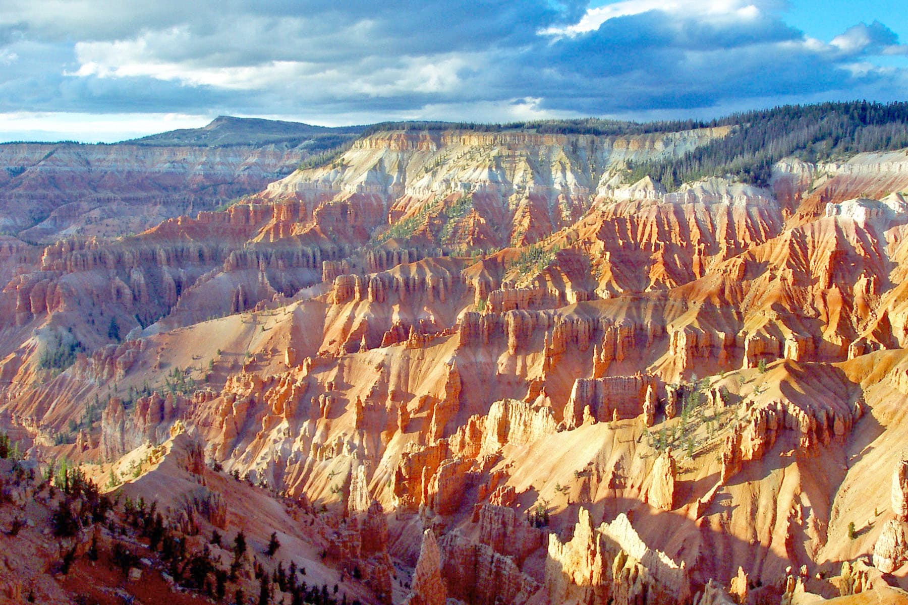
Crowning the Grand Staircase, Cedar Breaks sits at over 10,000 feet and looks down into a half-mile deep geologic amphitheater. Come wander among timeless bristlecone pines, stand in lush meadows of wildflowers, ponder crystal-clear night skies and experience the richness of our subalpine forest.
Activities
Topics
Entrance fees
$10.00 — Commercial Entrance - Per Person
$25.00 — Entrance - Private Vehicle
$15.00 — Entrance - Per Person
$20.00 — Entrance - Motorcycle
Hours & seasons
Visitor access, services, and activities vary by season. The road through the park, State Route-148, is open to vehicle access between late-May and mid-October. Road access is snow dependent. Visitor services and facilities vary, visit the Operating Hours and Seasons or Current Conditions pages for more information.
Generally open:
winterspringsummerfallHours are reported by the park — verify before you go.
📞 (435) 986-7120
✉ cedarbreaksinfo@nps.govConditions
Quietest months (fewer crowds): Jan, Feb, Mar, Apr
Typical crowds: low
Weather now: ☀️ Clear, 42°F
☁️ 63°/42°
🌦️ 63°/46°
🌦️ 61°/43°
Typical monthly recreation visits · NPS avg 2023–2025 — orange months are the quietest by crowds.
Quietest months
Relative crowds by month — lighter is quieter; ringed months are the calmest by crowds.
Jan
9%
Feb
9%
Mar
8%
Apr
9%
May
30%
Jun
71%
Jul
100%
Aug
83%
Sep
73%
Oct
57%
Nov
15%
Dec
17%
Log a sky reading
Measured the sky with an SQM meter or app? Add your reading (16 = city glow … 22 = pristine). Opt in under “Travelers like you” to share it on the community leaderboard.
Things to do
🟡 Hike the South Rim Trail · Depending on how much time you have, there are several different options for hiking the South Rim Trail. Just getting up to the rim and walking for a short bit will provide you with a completely different perspective than the roadside overlooks. There are three primary points of interest you can use as mile-markers or decision points. <ol> <li>Hiking to Spectra Point and back to the trailhead is two miles round trip.</li> <li>Hiking to the Ramparts Overlook and back to the trailhead is four miles round trip.</li> <li>Hiking to the end of the trail at the Bartizen is the longest option at five miles round trip.</li> </ol>
Campgrounds
Point Supreme Campground ↗ · 25 sites
Visitor centers
Cedar Breaks Visitor Center
Accessibility
1 accessible campground(s)
9 audio-described place(s)
Reported by the park — verify before you go.
Not an official safety source — always defer to NPS.gov and rangers for life-safety decisions.
By the numbers
A visual read on Cedar Breaks National Monument — its character, trails, sky, and weather.
Park fingerprint
How this park scores across the dimensions travelers care about.
Trail difficulty
Difficulty mix across this park's trails.
3-day forecast
Daily high and low temperatures (°F).
Passport stamps
Mark the stamps you've collected — they show in your memory and along your routes.
🎫 Cedar Breaks Information Center
Places to see
Bartizan
audio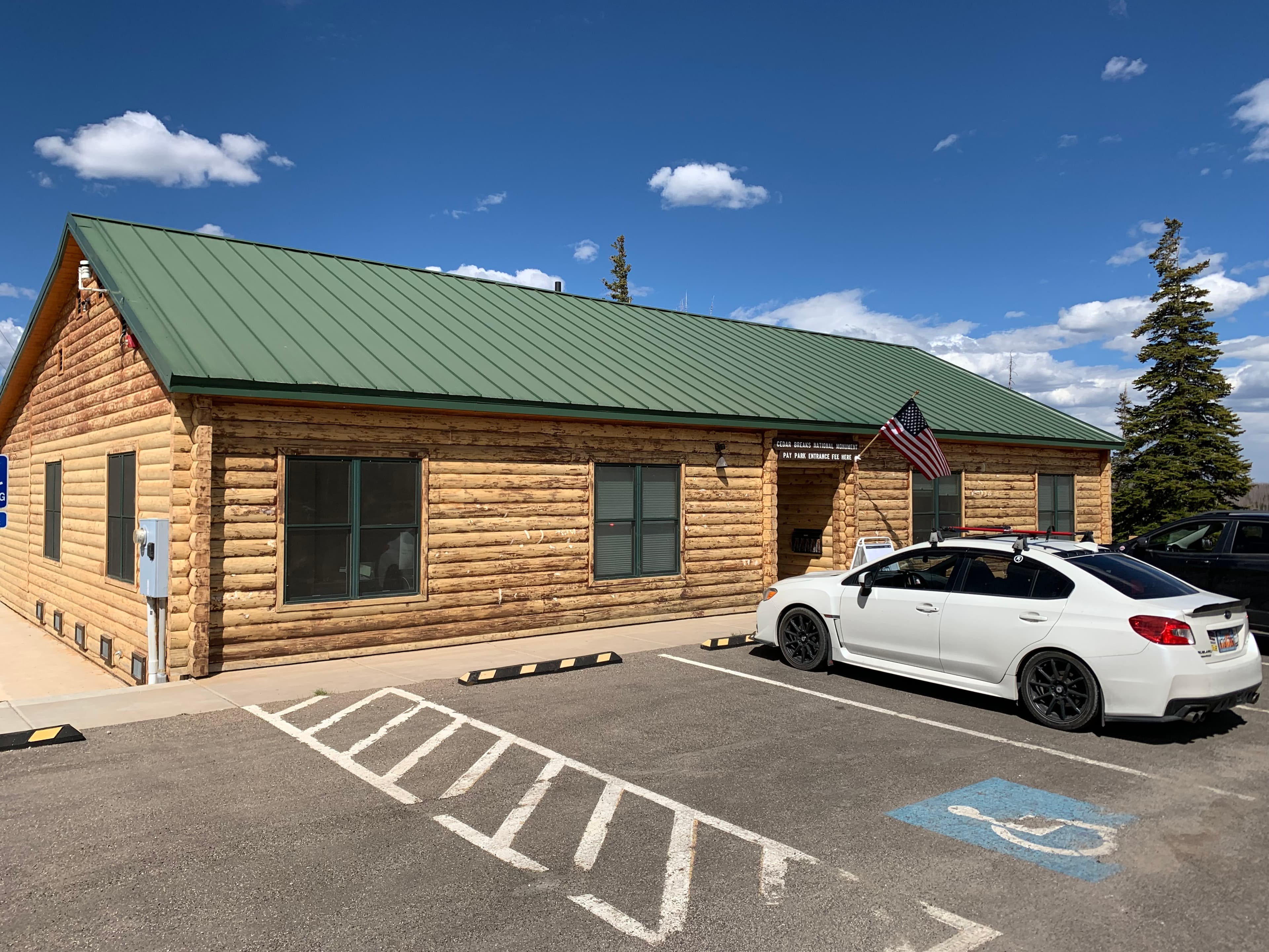
Cedar Breaks Information Center
audio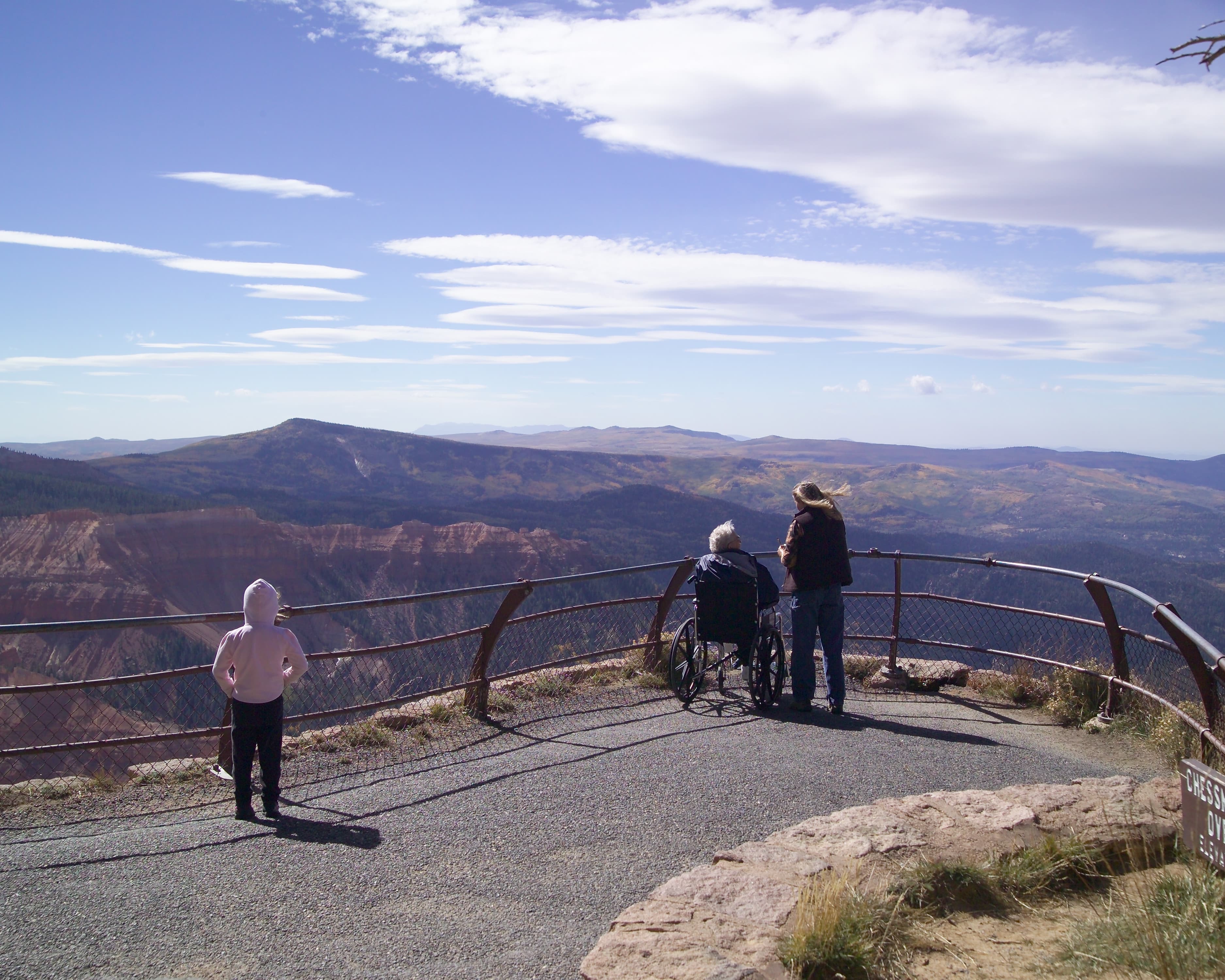
Chessmen Ridge Overlook
audio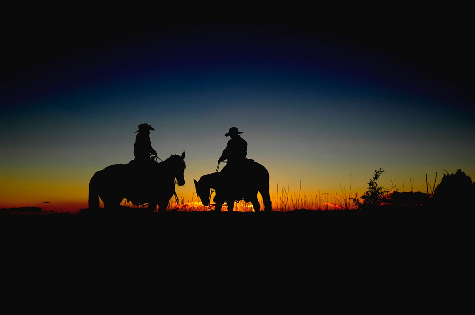
Mormon Pioneer National Heritage Area
audio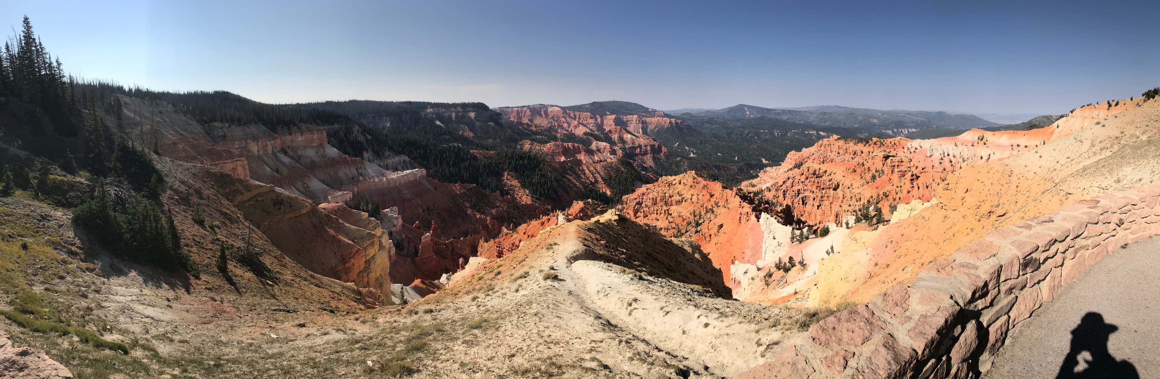
North View Overlook
audio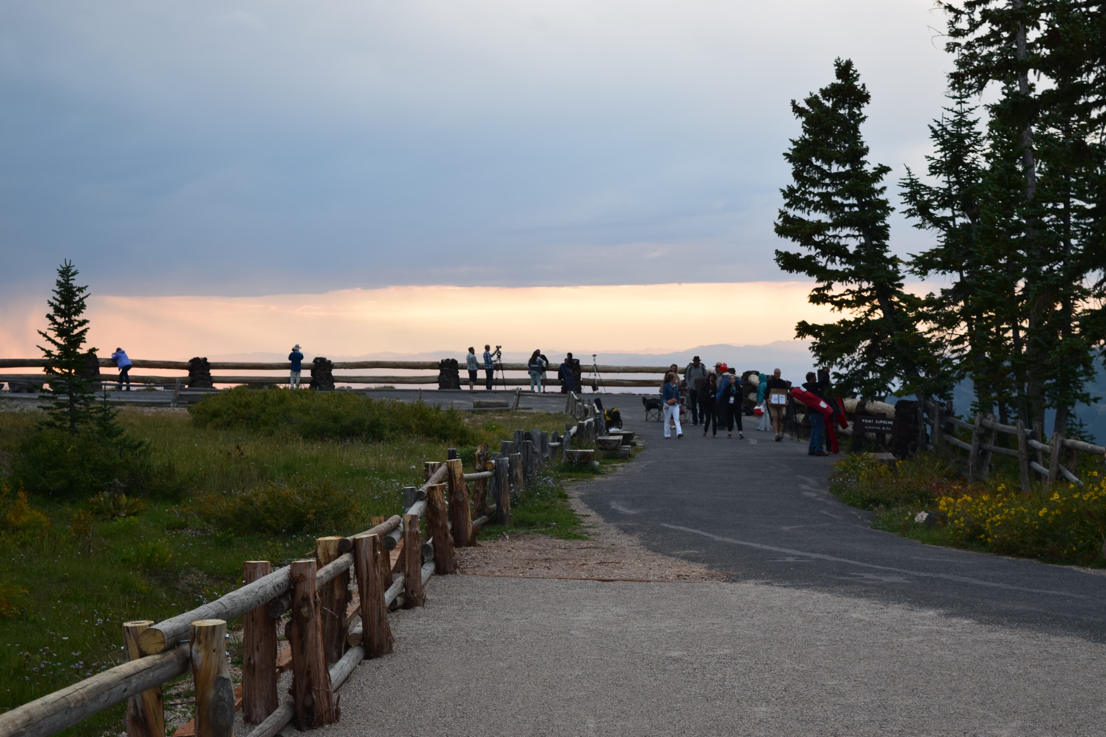
Point Supreme Overlook
audio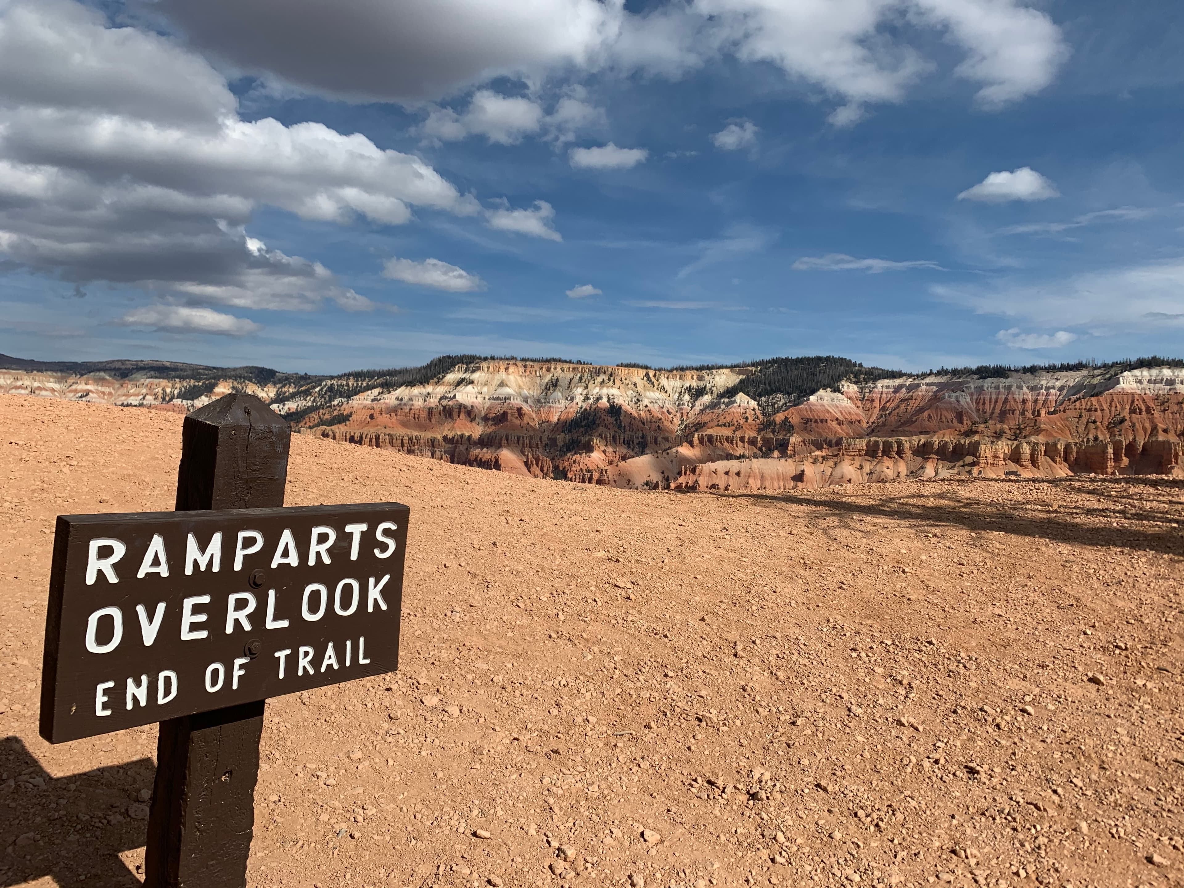
Ramparts
audio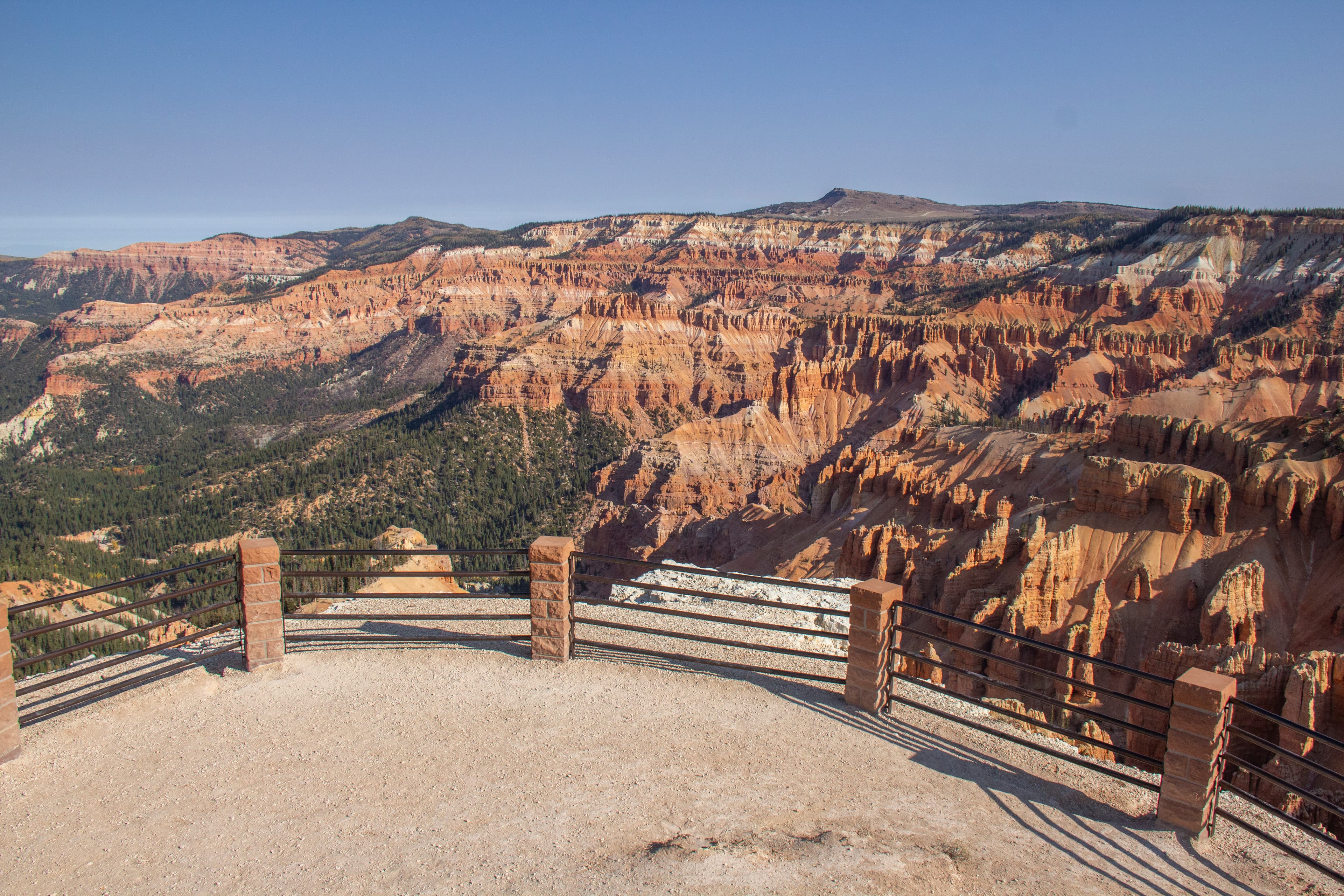
Spectra Point
audio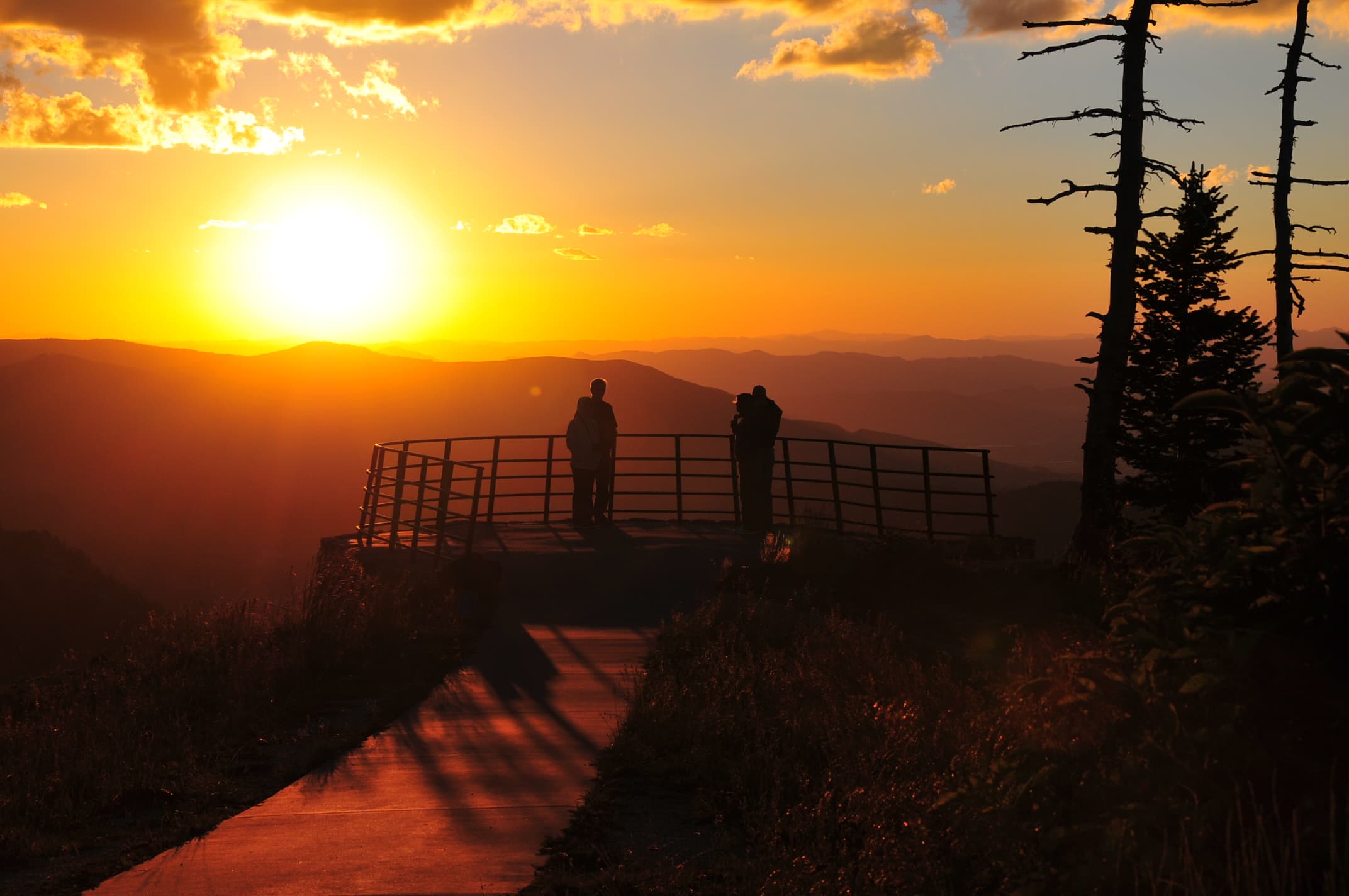
Sunset View Overlook
audioAudio & media
🎧
🎬
🖼
Learn more
Many visitors to national parks today collect passport stamps, magnets, or other items to recall their trip and to show others where they’ve been. In the 1920s and 1930s the “must have” souvenirs weren’t created to be collected. National Park Service (NPS) windshield stickers served a practical administrative purpose; they were evidence that the automobile license fee drivers paid at some parks had been paid. Even so, Americans embraced their colorful, artistic designs.
In 1915 Stephen T. Mather was hired by Secretary of Interior Franklin K. Lane to build public and political support for a new bureau for national parks. To implement his vision, Mather called on an industry with a track record in publicizing western national parks—the nation’s railroad companies.
When the climate changes enough, the vegetation communities growing in any given place will also change. Under an expanded bimodal climate zone, some plant communities in western national parks are more likely to change than others. National Park Service ecologists and partners investigated the future conditions that may force some of this change. Having this information can help park managers decide whether to resist, direct, or accept the change.
“Paa” ute means water ute, and explains the Southern Paiute preference for living near water sources. The Spanish explorer Escalante kept detailed journals of his travels in the Southwest and made notes concerning Southern Paiute horticulture, writing in 1776, that there were “well dug irrigation ditches” being used to water small fields of corn, pumpkins, squash, and sunflowers.
Visitors to Arches National Park experience natural free-flowing waters and have water to quench their thirst, thanks to an agreement between the National Park Service and the State of Utah.
Species description of the California Condor (Gymnogyps californianus).
A tagged California condor flies free. NPS Photo/ Don Sutherland
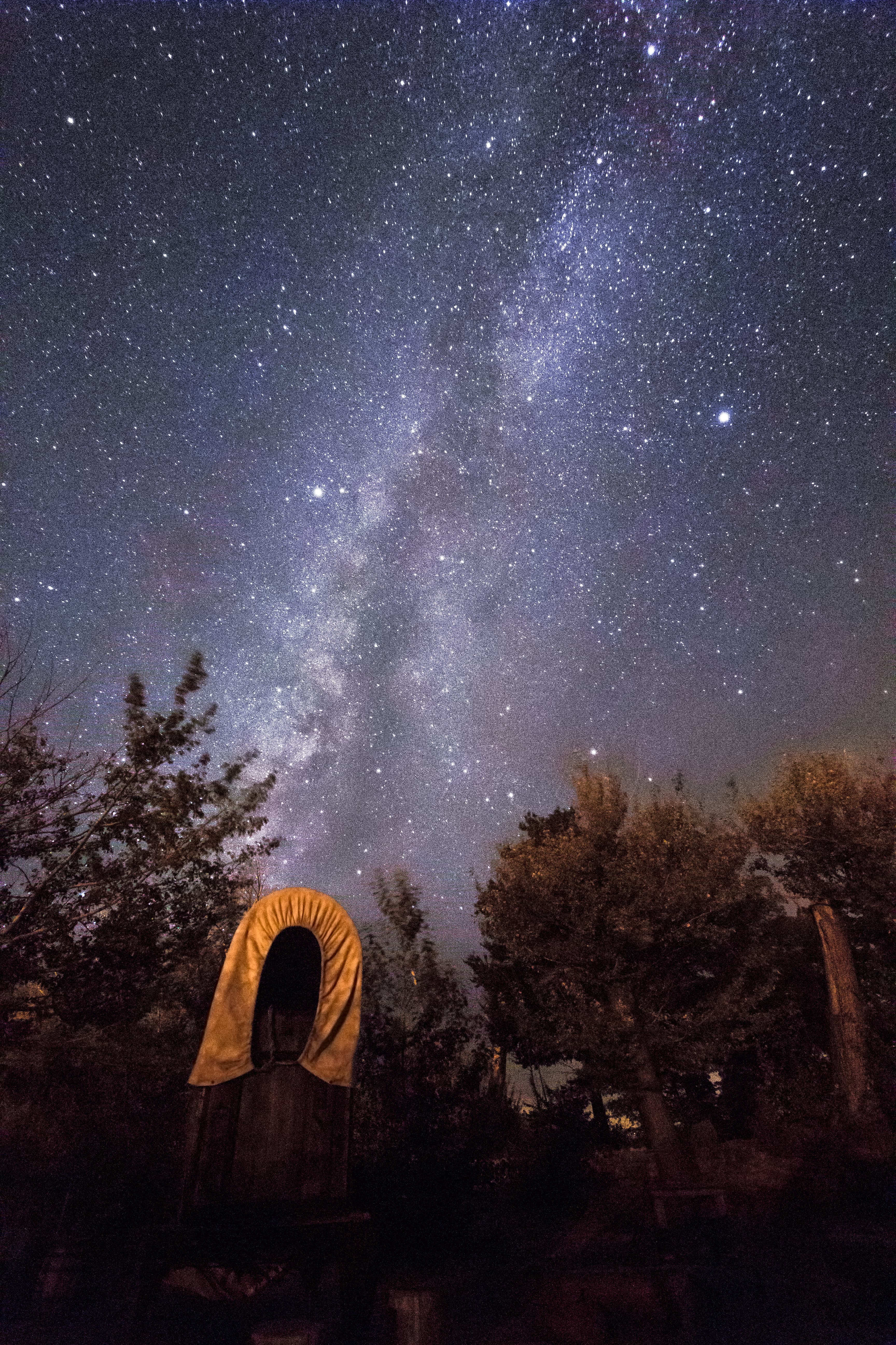
Cedar Breaks National Monument and the International Dark Sky Association (IDA) are excited to announce the designation of Cedar Breaks as an International Dark Sky Park. This distinction recognizes Cedar Breaks as a sanctuary of natural darkness and for the opportunity it provides visitors to enjoy the night sky.
Ranger School
Park-grounded courses you can learn with the Ranger.
Life Up High: Precipitation, Elevation & the Sub-alpine Forest
Open →
Plant Adaptations in the Sub-alpine Forest Ecosystem
Open →
Shaping Landscapes Over Time & Space
Open →
Where is the Native Forest?
Open →
How Cedar Breaks National Monument connects
This park's activities, topics, location, and on-the-ground places — one hop in the graph. Drag to explore; click an activity, topic, or related park to follow it.
Park
Activity
Topic
State
Campground
VisitorCenter
PassportStamp
Trail
ThingToDo
Similar parks
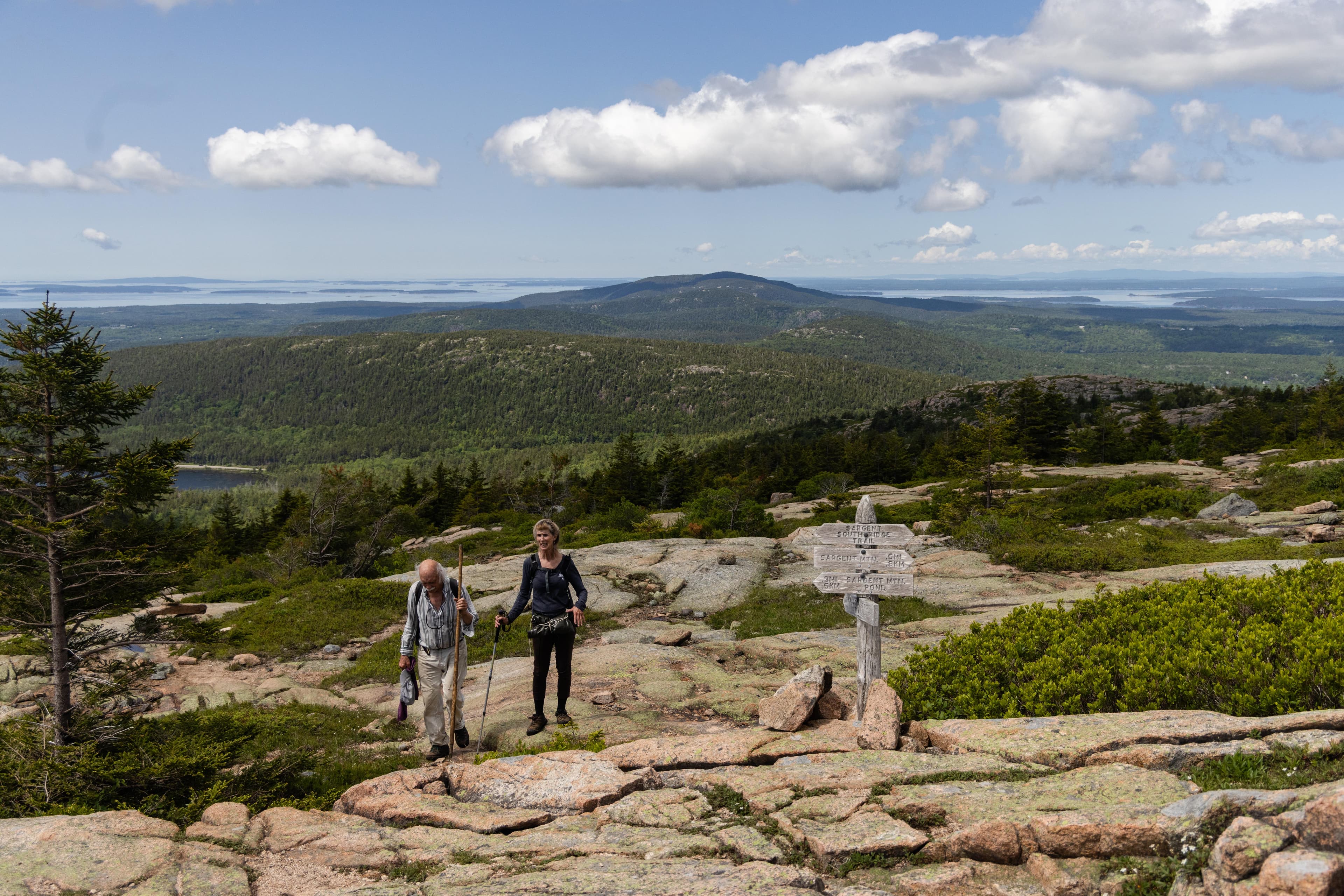
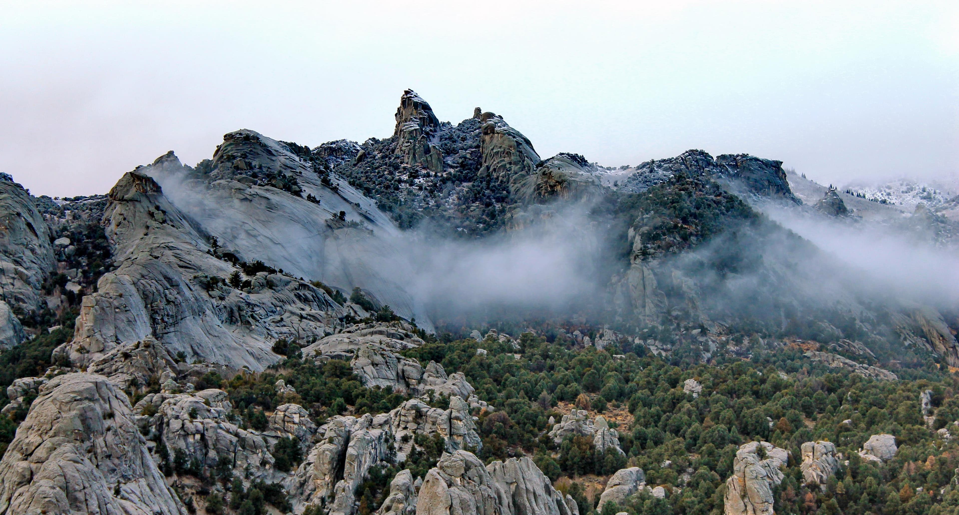
Share activities & topics with Cedar Breaks National Monument.



Nearby parks
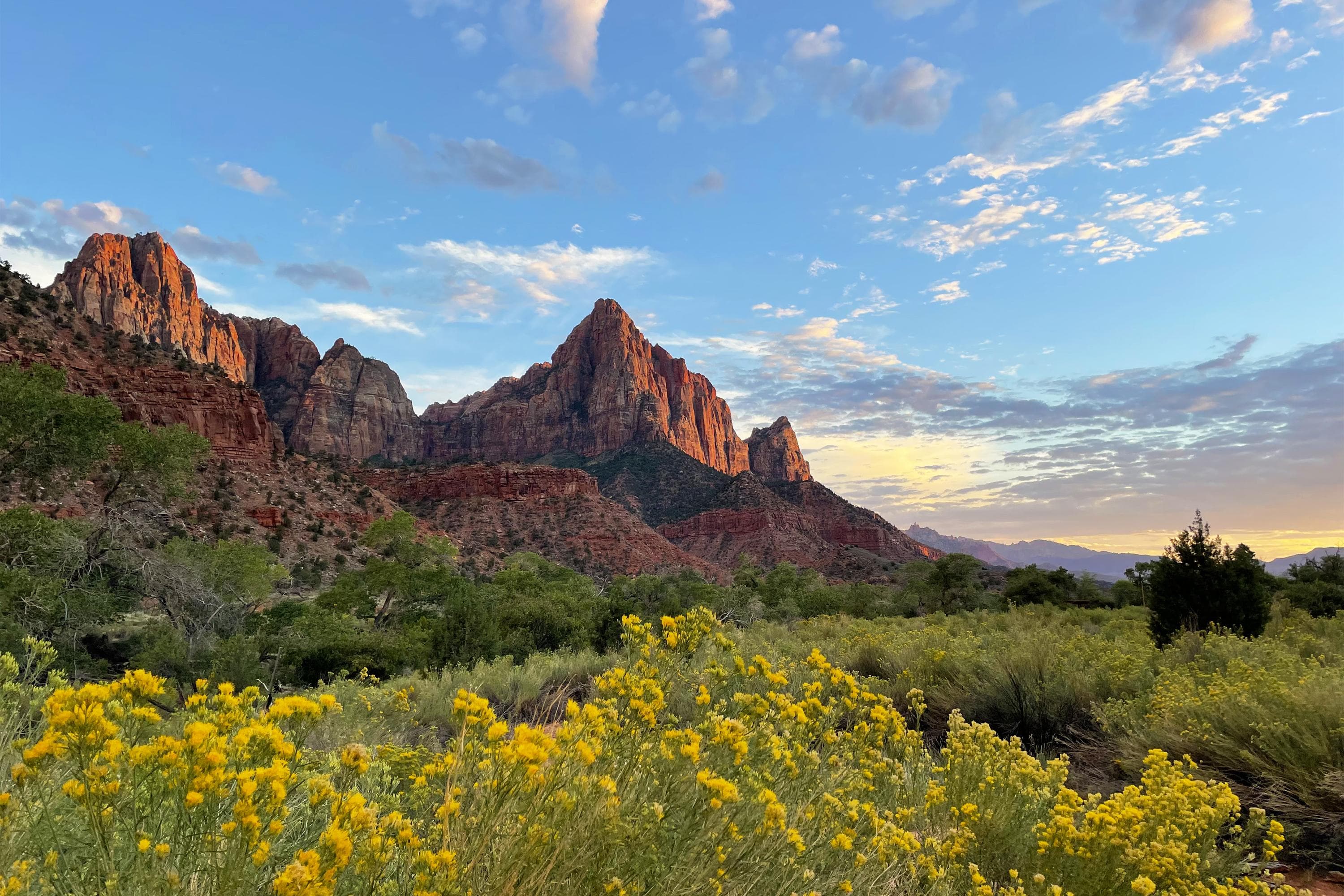
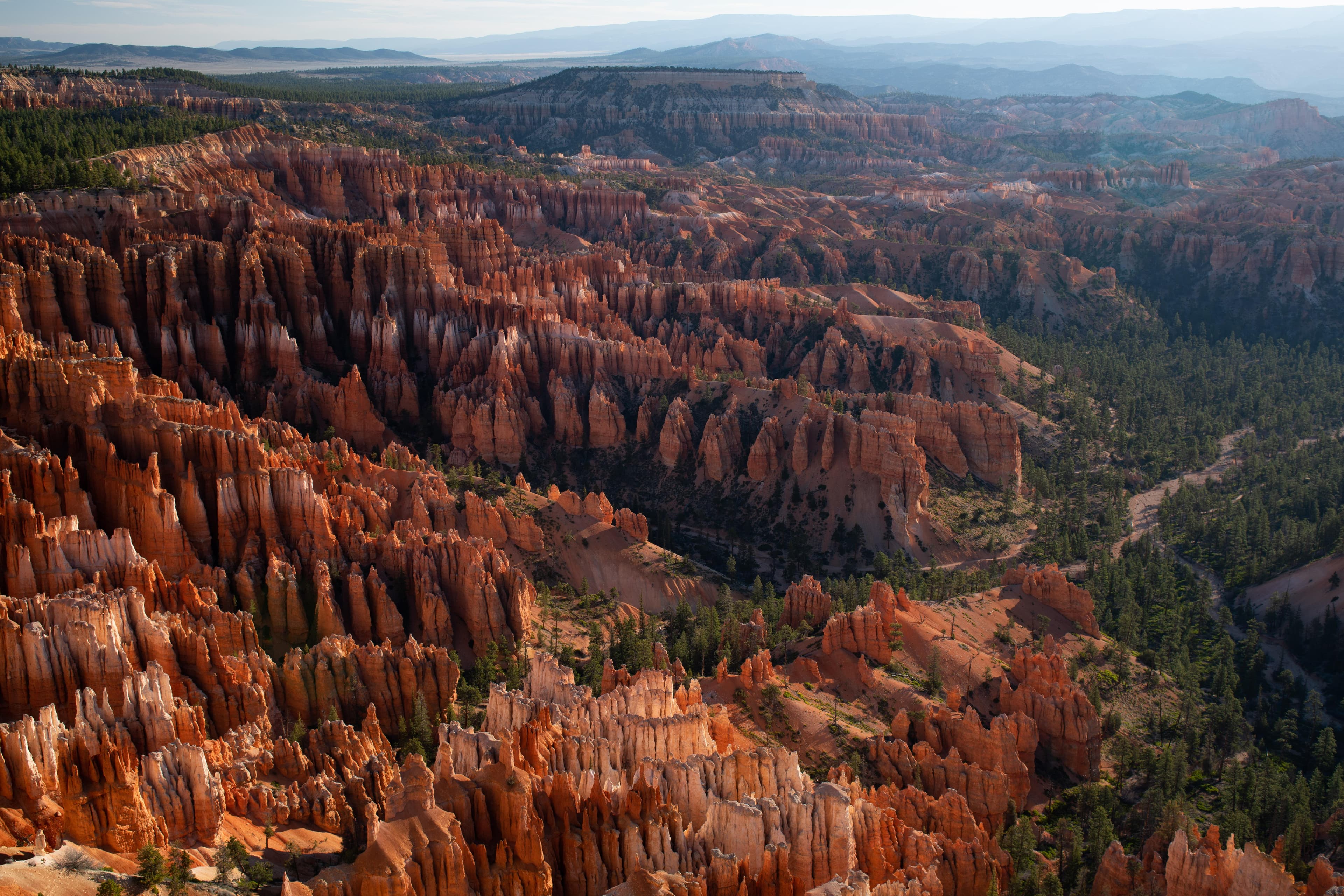
Often planned together
Parks travelers add to the same trip as Cedar Breaks National Monument.