Juan Bautista de Anza National Historic Trail
California, Arizona
Tonight
🌓 65% moon
9 h fully dark
Hikes
Easy–Strenuous
🟢 🔴
Open today
Closed
Entrance
Free entry
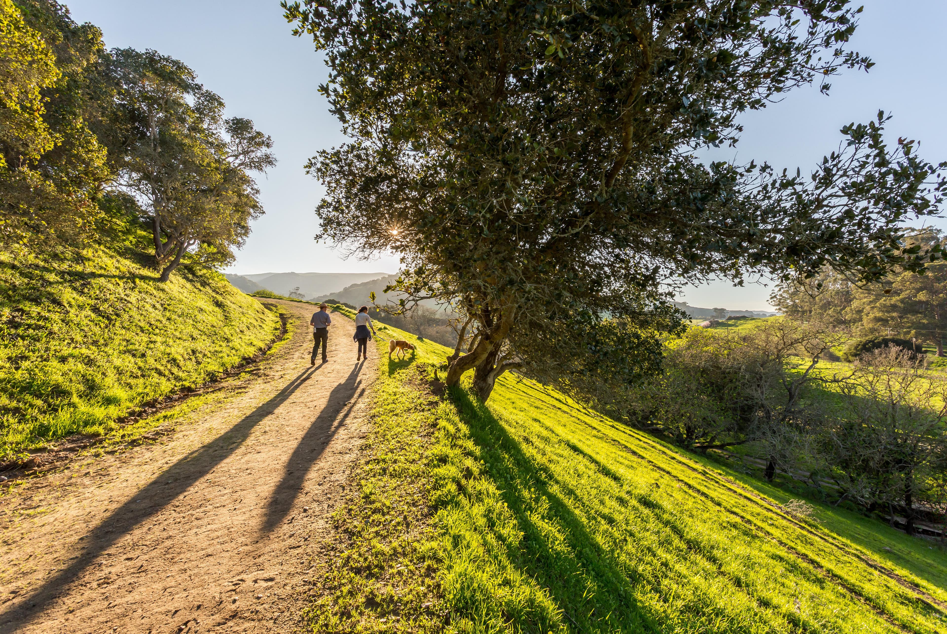
The Juan Bautista de Anza National Historic Trail covers over 1200 miles through the homelands of 70+ Tribal communities. It follows the historic route of the 1775-76 Spanish colonizing expedition from Sonora, Mexico to San Francisco, CA. Whether urban or rural, the trail offers adventure, diverse cultural perspectives, and an opportunity to experience history.
Activities
Topics
No entrance fee.
Hours & seasons
Hours listed are for the Richmond, California administrative office of the Anza Trail (admin office not currently open to public). The 1,200-mile Anza Trail connects historic, cultural, and recreation sites from Nogales, AZ, to the San Francisco Bay Area that reveal the legacy of our Spanish colonial heritage. To learn more, visit http://www.nps.gov/juba. Each site along the Anza Trail is managed independently. Contact individual sites for hours, directions, and other details.
Generally open:
winterspringsummerfallHours are reported by the park — verify before you go.
📞 (510) 232-5050
✉ juba_info@nps.govConditions
Weather now: ☁️ Overcast, 80°F
🌫️ 86°/57°
☁️ 78°/63°
☁️ 85°/56°
Log a sky reading
Measured the sky with an SQM meter or app? Add your reading (16 = city glow … 22 = pristine). Opt in under “Travelers like you” to share it on the community leaderboard.
Things to do
🟢 Hike the Anza Trail through Moreno Valley · 8 mi · The trail is 8 miles long and would take 2-4 hours to complete by foot.
🔴 Hike, cycle, or ride through Fort Ord National Monument · 4.5 mi · By foot and hoof, this segment is a moderately strenuous 2.5-hour trek. By mountain bike, the stretch takes about 30 minutes.
🔴 Hike the Arrowhead Loop Trail · 4 mi
🔴 Hike the Delta de Anza/Mokelumne Loop · 5.62 mi
Hike the Santa Cruz River · <p>The river overlook point is about a 1/4 mile from the mission grounds. One can also hike north or south for many miles along the Anza Trail, which follows the Santa Cruz River.</p>
Hike the Anza Trail from Tumacácori to Tubac, AZ · Duration is calculated for a ONE-WAY hike of six miles. <br /> Minimum is assuming average walking speed of 3 mph. This is a fairly fast pace.<br /> Maximum is assuming average walking speed of 1 mph, and not including stops and breaks.<br />
Experience the Anza Trail by Train · The Trails & Rails Anza Trail program lasts the duration between the Santa Barbara Amtrak Station and the San Luis Obispo Amtrak Station on the northbound Coast Starlight; and the duration between the San Jose Amtrak Station and the San Luis Obispo station on the southbound route.
Visitor centers
Anza-Borrego Desert State Park Visitor Center
Big Break Visitor Center at the Delta
Gila Bend Visitor Center
Griffith Park Visitor Center
Saguaro National Park East - Rincon Mountain District Visitor Center
Saguaro National Park West - The Red Hills Visitor Center
Santa Monica Mountains Anthony C. Beilenson Interagency Visitor Center
William Penn Mott, Jr. Presidio Visitor Center
Accessibility
5 audio-described place(s)
Reported by the park — verify before you go.
Not an official safety source — always defer to NPS.gov and rangers for life-safety decisions.
By the numbers
A visual read on Juan Bautista de Anza National Historic Trail — its character, trails, sky, and weather.
Park fingerprint
How this park scores across the dimensions travelers care about.
Trail difficulty
Difficulty mix across this park's trails.
3-day forecast
Daily high and low temperatures (°F).
People & stories
Figures tied to Juan Bautista de Anza National Historic Trail — each spans a cross-park journey.
Rosa Maria Bezerra Nieto
— Women's History, Hispanic History, Hispanic American HistoryPassport stamps
Mark the stamps you've collected — they show in your memory and along your routes.
🎫 Anza-Borrego Desert State Park
🎫 Big Break Visitor Center at the Delta
🎫 Casa Grande Ruins
🎫 Colorado River State Historic Park
🎫 Gila Bend
🎫 Gila Bend Visitor Center
🎫 Griffith Park Visitor Center
🎫 Historic Hacienda de la Canoa
🎫 Las Lagunas de Anza Interpretive Site
🎫 Museum of Sonoran History - Museo Costumbrista de Sonora
🎫 Picacho Peak (Cerro de Tacca)
🎫 Presidio San Agustín del Tucson
🎫 Roberto-Suñol Adobe
🎫 Saguaro National Park West
🎫 Saguaro National Park West - The Red Hills Visitor Center
🎫 Santa Monica Mountains Anthony C. Beilenson Interagency Visitor Center
🎫 Tubac Presidio State Historic Park
🎫 William Penn Mott, Jr. Presidio Visitor Center
Places to see
Antioch/Oakley Regional Shoreline
Anza-Borrego Desert State Park
Big Break Regional Shoreline
Casa Grande Ruins
Christopher Columbus Park
Colorado River State Historic Park
Don Fernando Pacheco Adobe
Don Salvio Pacheco Adobe
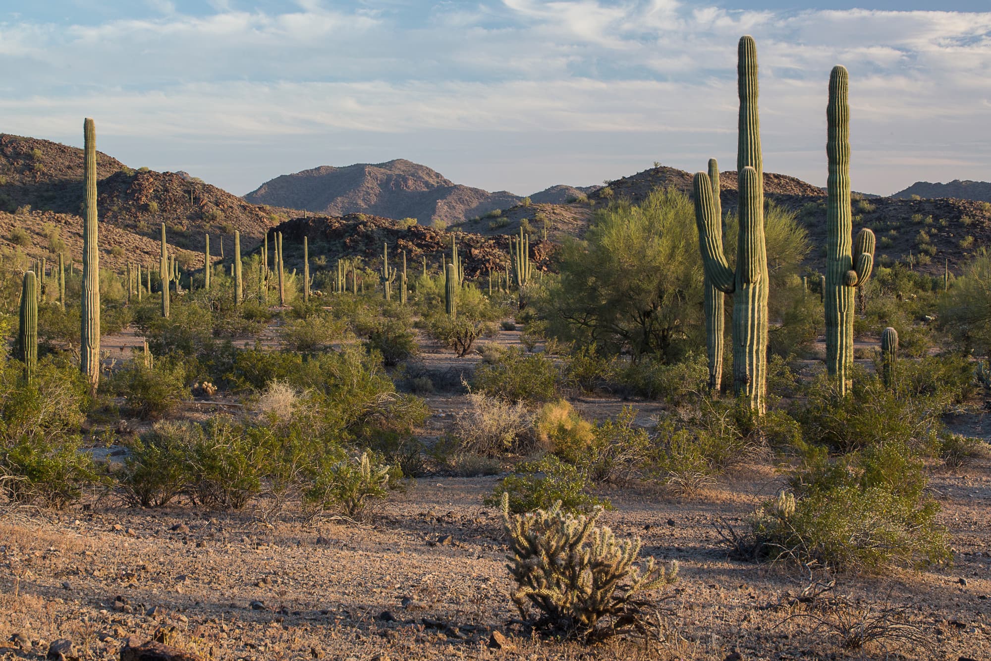
Gila Bend
Gila River Indian Community
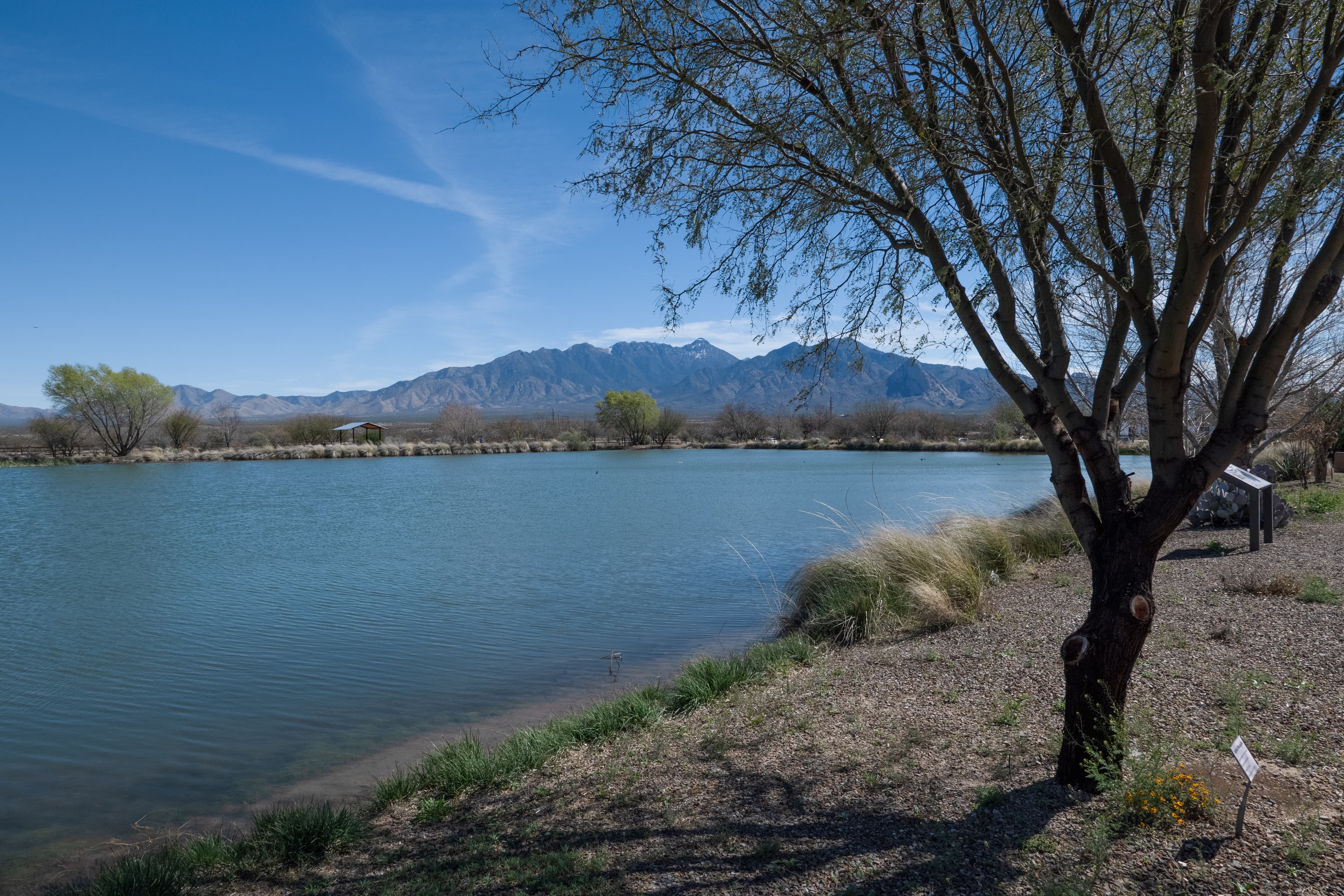
Historic Hacienda de la Canoa
audio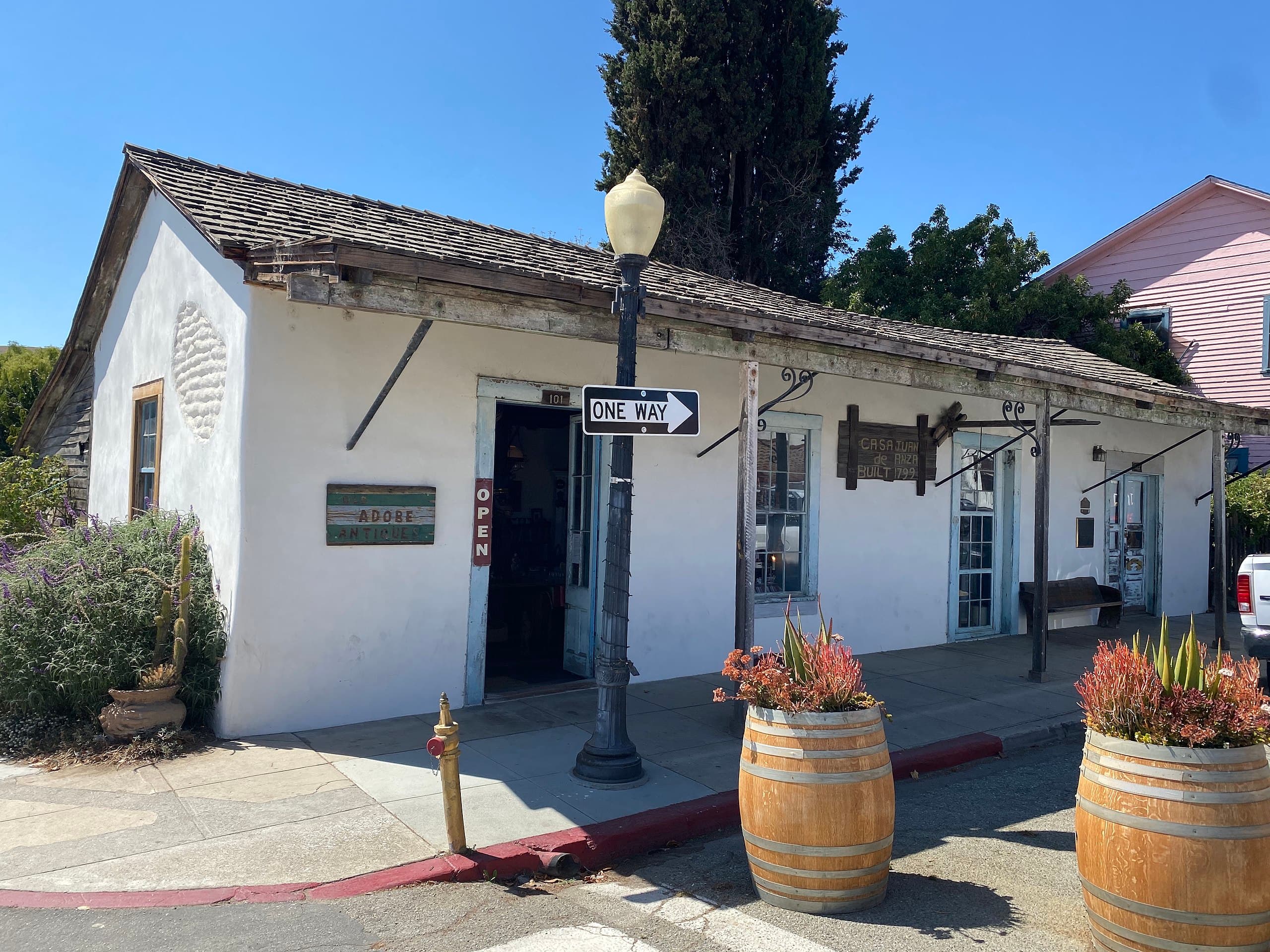
Juan de Anza House, CA
audioAudio & media
🎧
🎬
🖼
Learn more
View the recipients of the 2023 National Park Service Excellence in Interpretation Awards, which recognize outstanding contributions to the practice of interpretation and education by NPS employees.
Among the earliest non-indigenous residents of California were hundreds of people of African background who descended from enslaved peoples taken to Mexico during the fifteenth and sixteenth centuries. These Afro-Latine shaped the character of California much as Puritans shaped the character of New England.
The Anza Trail Cultural History Park is a case study for making cultural history accessible using universal design principles. The park is a youth-designed space for people of all ages and abilities serves as a public park as well as an outdoor classroom for the Arizona School for the Deaf and the Blind. Features of the park include a plaza lined with native plants and an accessible pathway with interactive, accessible exhibits.
Across the US, changes in water availability are altering which plants grow where. These changes are evident at a broad scale. But not all areas experience the same climate in the same way, even within the boundaries of a single national park. A new dataset gives park managers a valuable tool for understanding why vegetation has changed and how it might change in the future under different climate-change scenarios.
The Juan Bautista de Anza National Historic Trail enters the US at Nogales, Arizona, beginning a 1200-mile stretch of historic trail through the deserts and mountains of Arizona and California. However, the origins of Anza expedition of 1775-76 are in Sonora, Mexico. The people on this historic journey were recruited from the mining towns and farmlands of Sonora and Sinaloa. Anza Trail staff had the opportunity to trace the trail in Mexico with host country partners.
The corrido is a traditional Mexican song style that has evolved over the past 200 years in northern Mexico and the southwestern United States. Corridos are all about storytelling. They tell of battle victories (and loses), individuals taking on the establishment, the lives of great or notorious people, and – perhaps the most ancient type of story in human history – the epic journey. Learn about this enduring tradition and listen to a corrido about the Anza Expedition of 1776
Eight women were pregnant during the nine-month Anza colonizing expedition of 1775-76. Many of them gave birth in route. Manuela Ygnacia López Peñuelas tragically died after giving birth to a healthy baby. Women's reproduction was crucial to the Spanish empire's successful conquest of Alta California. With little choice in the matter, these women faced extreme hardship in hopes of making a better home in a new land at the expense of Indigenous homes and lifeways.
María Feliciana Arballo, a 25-year-old widow of Afro-Latina descent with two small children, was one of about forty women in the Anza expedition when it began its colonizing journey from Sonora, Mexico to Alta California (upper California) in 1775.
Ranger School
Park-grounded courses you can learn with the Ranger.
How Juan Bautista de Anza National Historic Trail connects
This park's activities, topics, location, and on-the-ground places — one hop in the graph. Drag to explore; click an activity, topic, or related park to follow it.
Park
Activity
Topic
State
VisitorCenter
PassportStamp
ThingToDo
Similar parks
Share activities & topics with Juan Bautista de Anza National Historic Trail.