Ice Age Floods National Geologic Trail
Montana, Idaho, Oregon, Washington
Tonight
🌓 65% moon
8.3 h fully dark
Open today
Open
Entrance
Free entry
At the end of the last Ice Age, 18,000 to 15,000 years ago, an ice dam in northern Idaho created Glacial Lake Missoula stretching 3,000 square miles around Missoula, Montana. The dam burst and released flood waters across Washington, down the Columbia River into Oregon before reaching the Pacific Ocean. The Ice Age Floods forever changed the lives and landscape of the Pacific Northwest.
No entrance fee.
Hours & seasons
The Ice Age Floods National Geologic Trail is a collection of sites operated and owned by a variety of partners. , Hours of operation and season will vary from site to site. Please check each respective site for more details and information.
Generally open:
winterspringsummerfallHours are reported by the park — verify before you go.
📞 (509) 237-9722
✉ iafl_program_manager@nps.govConditions
Weather now: ☀️ Clear, 85°F
☀️ 85°/50°
☁️ 87°/56°
☁️ 80°/57°
Log a sky reading
Measured the sky with an SQM meter or app? Add your reading (16 = city glow … 22 = pristine). Opt in under “Travelers like you” to share it on the community leaderboard.
Live conditions
Sun Lakes Dry Fall State Park ↗inactive
Accessibility
14 audio-described place(s)
Reported by the park — verify before you go.
Not an official safety source — always defer to NPS.gov and rangers for life-safety decisions.
By the numbers
A visual read on Ice Age Floods National Geologic Trail — its character, trails, sky, and weather.
Park fingerprint
How this park scores across the dimensions travelers care about.
3-day forecast
Daily high and low temperatures (°F).
Passport stamps
Mark the stamps you've collected — they show in your memory and along your routes.
🎫 Cape Disappointment State Park-Lewis and Clark Interpretive Center
🎫 Columbia Gorge Discovery Center & Museum
🎫 Crown Point National Natural Landmark
🎫 Fort Spokane Visitor Center and Museum
🎫 Fort Spokane Visitor Center and Museum
🎫 Grand Coulee Dam Visitor Center
🎫 Montana Natural History Center
🎫 Multnomah Falls and Lodge
🎫 National Bison Range
🎫 Ravalli County Historical Museum
🎫 Sun Lakes-Dry Falls State Park
🎫 Travelers' Rest State Park
🎫 Tualatin Public Library
Places to see
Back to Trailhead Park
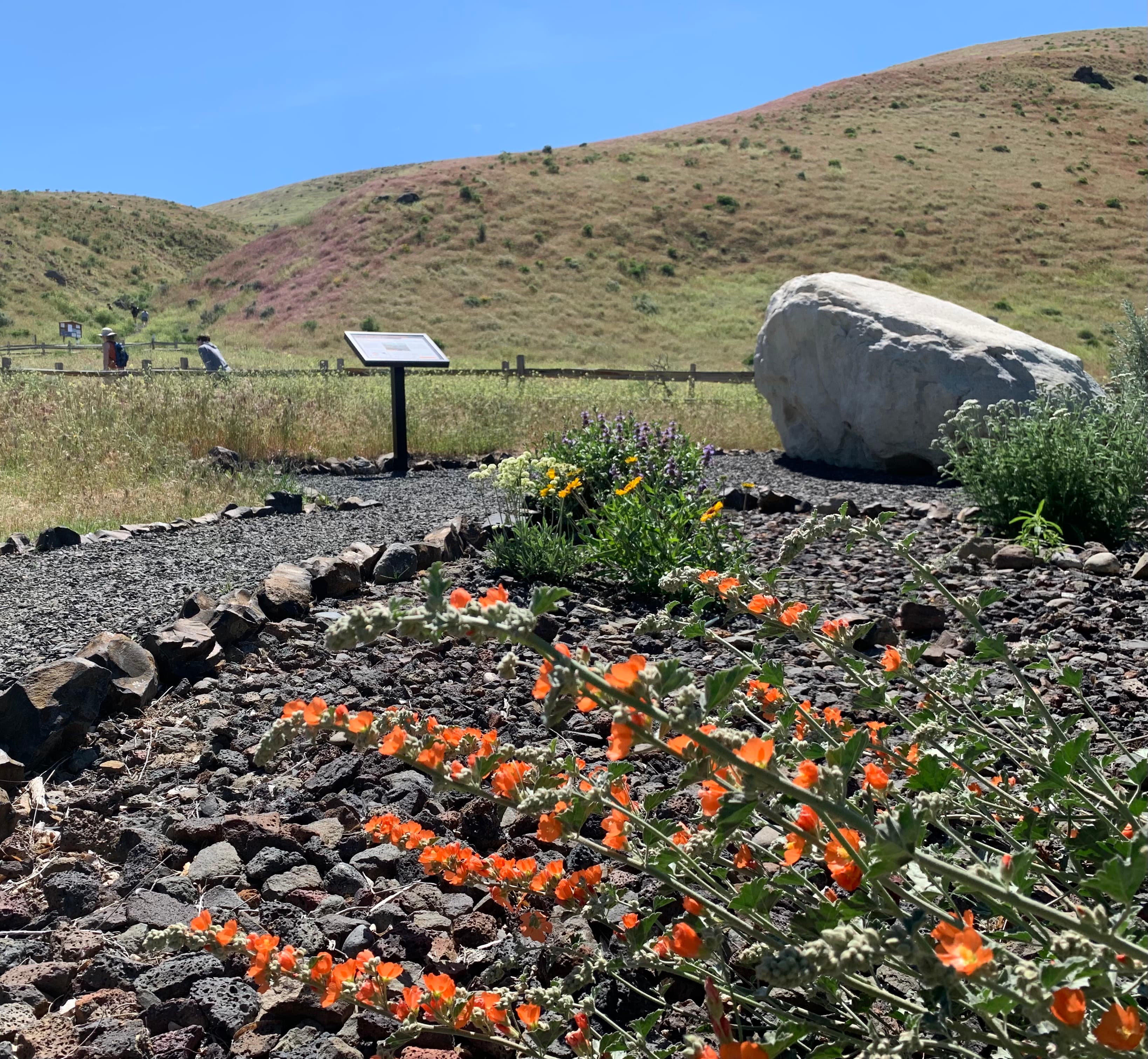
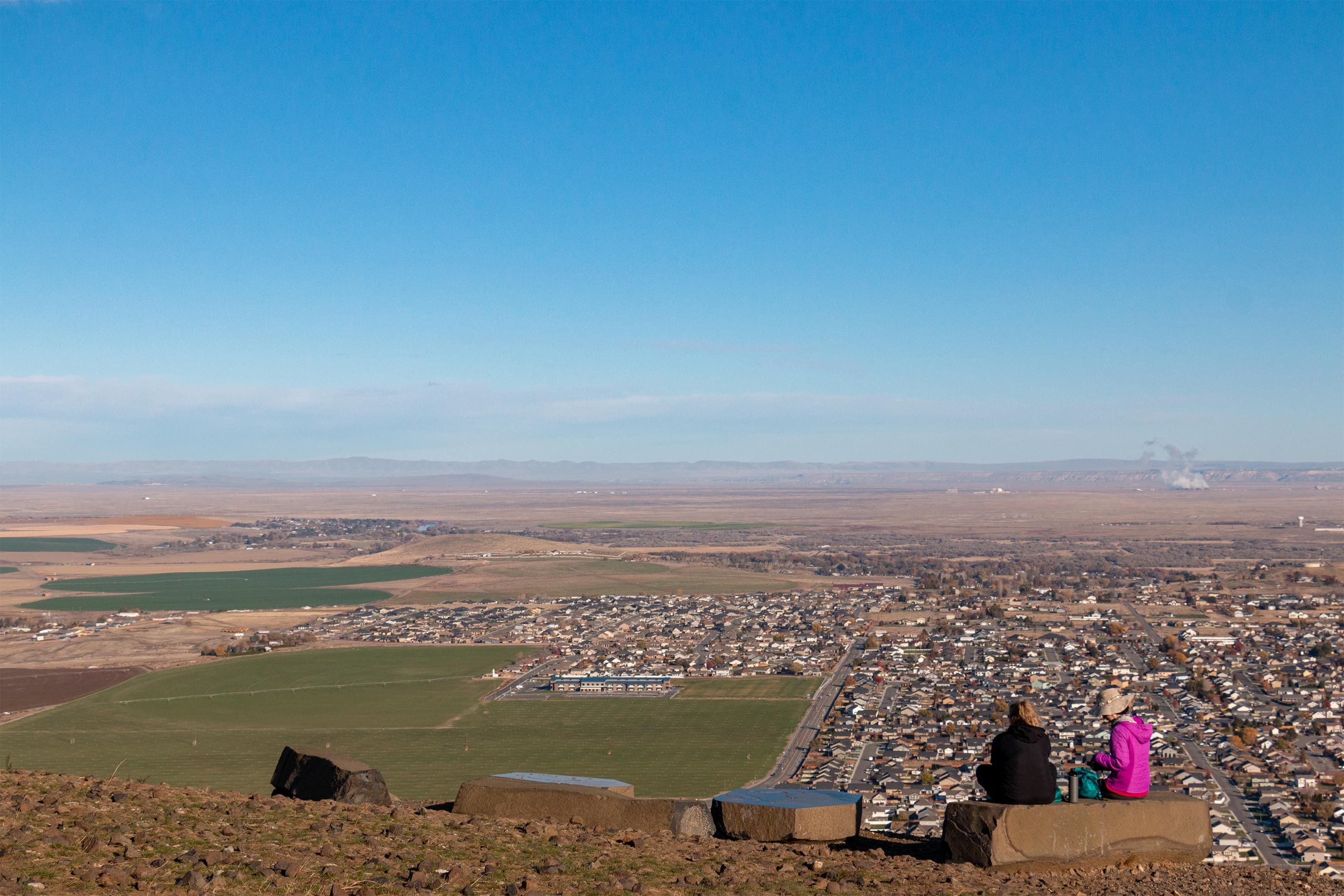
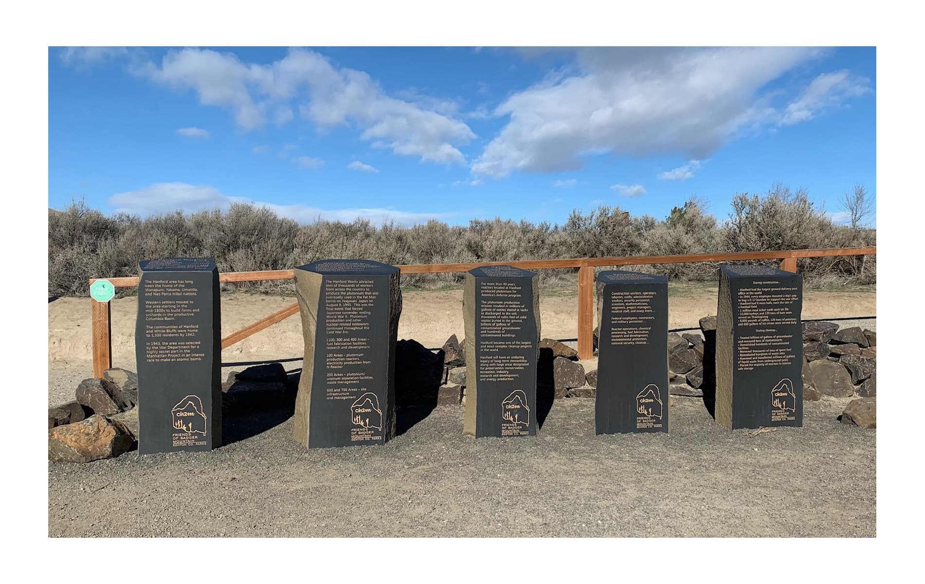
Badger Mountain Trail Head
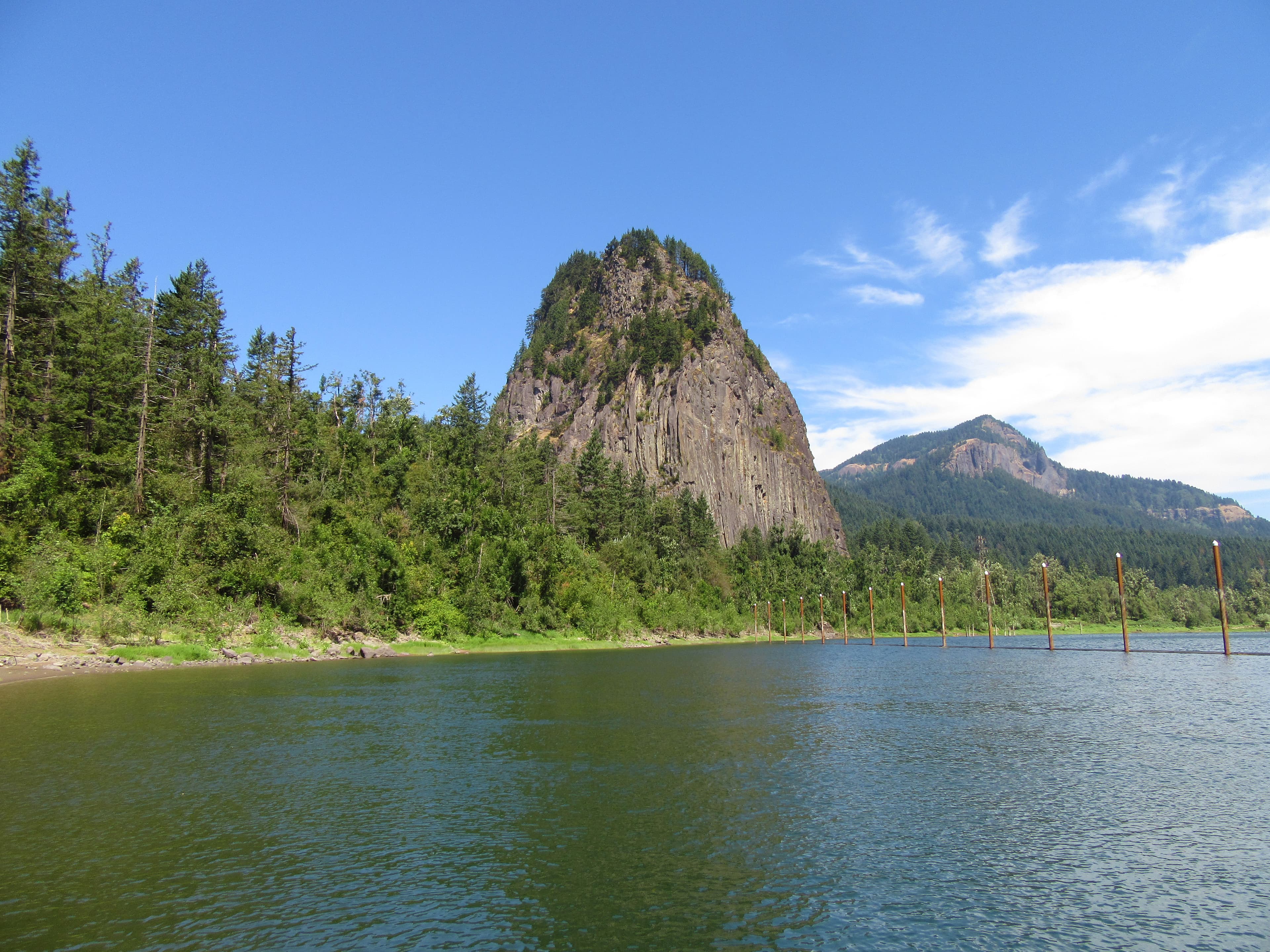
Beacon Rock
audio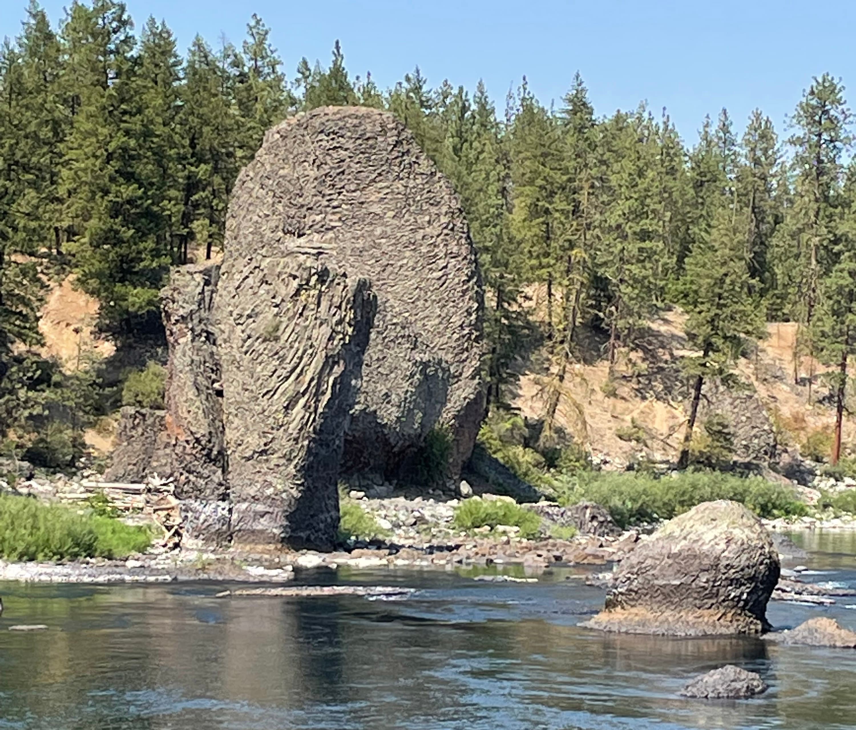
Bowl and Pitcher (Riverside State Park)
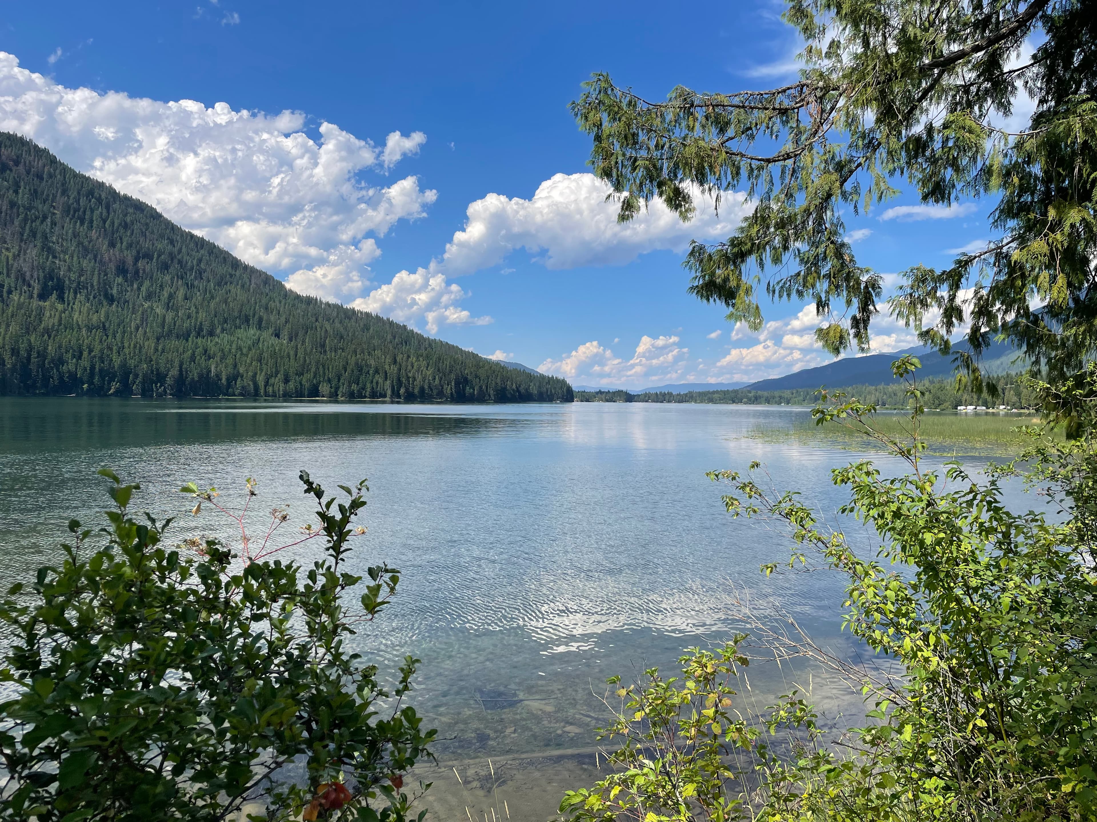
Bull Lake
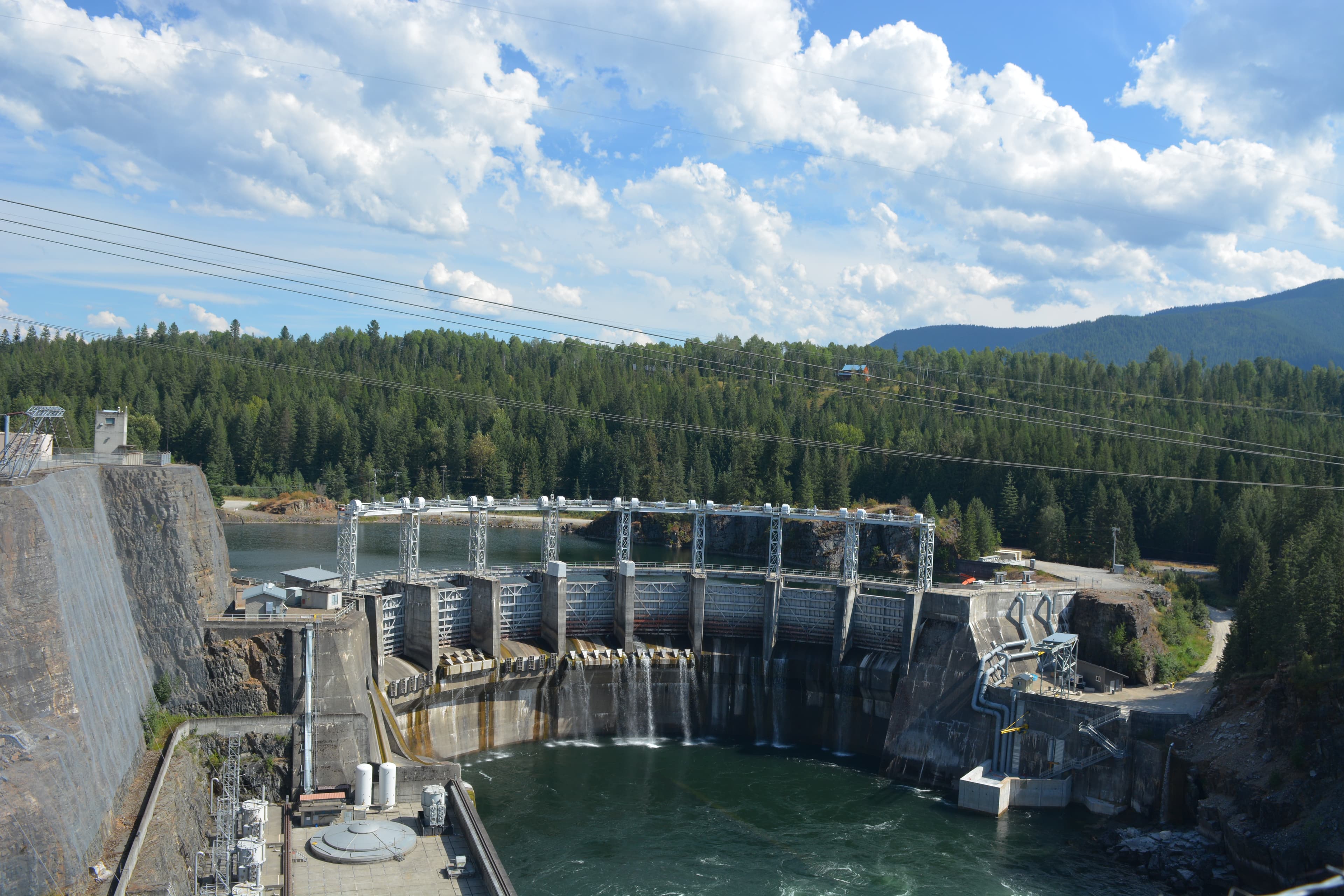
Cabinet Gorge Dam
Candy Mountain
Candy Mountain Trailhead
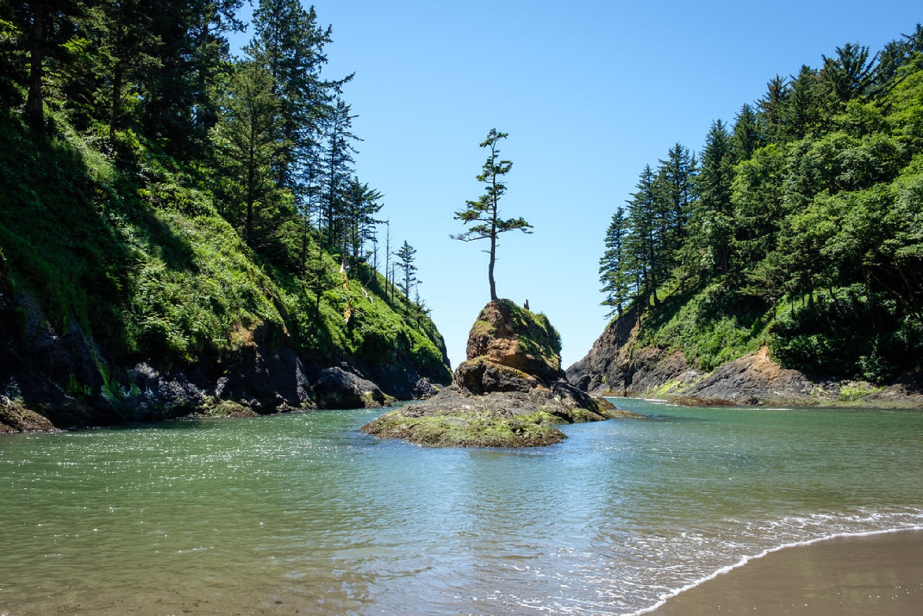
Cape Disappointment State Park
audio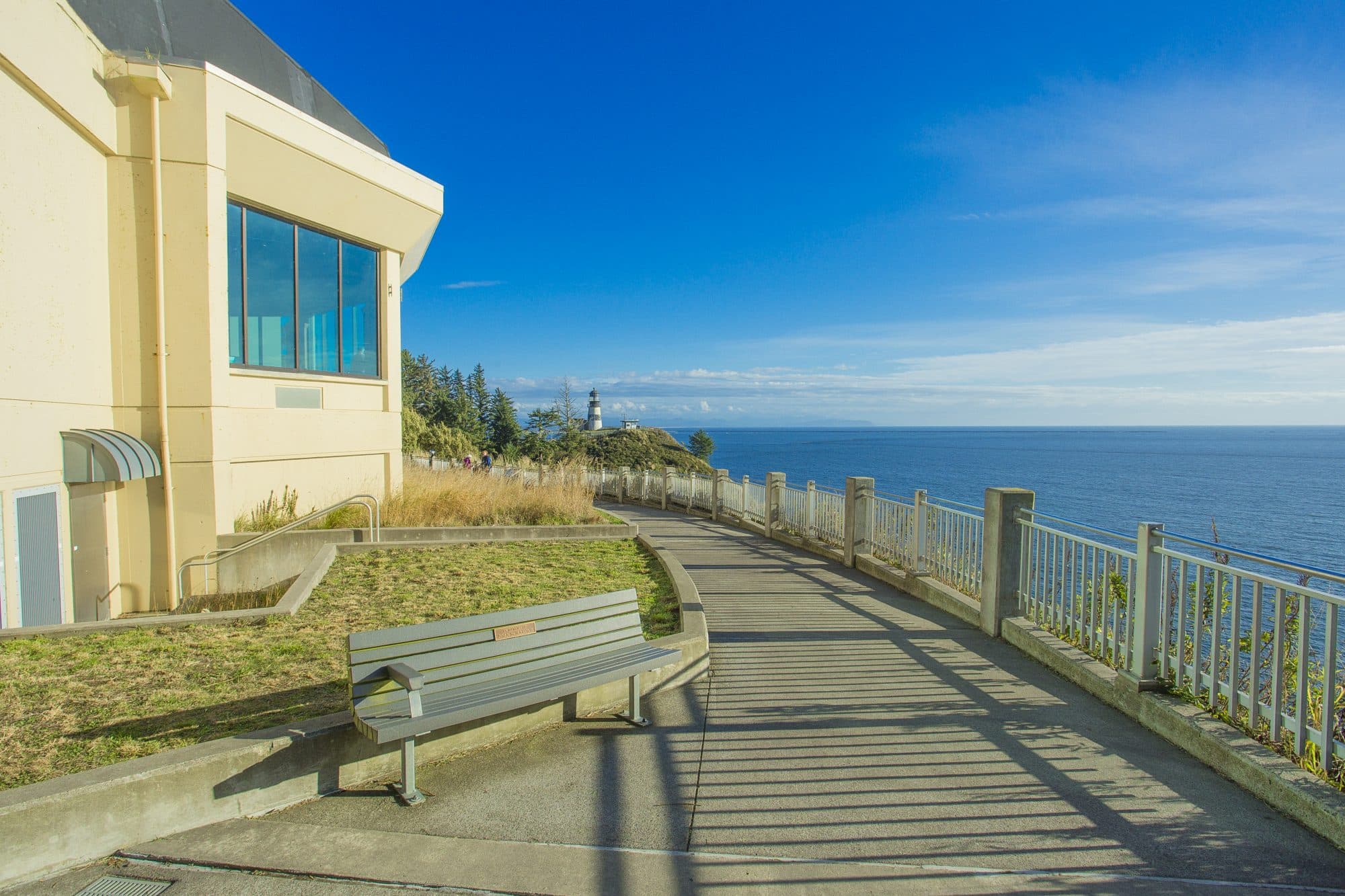
Cape Disappointment State Park-Lewis and Clark Interpretive Center
audio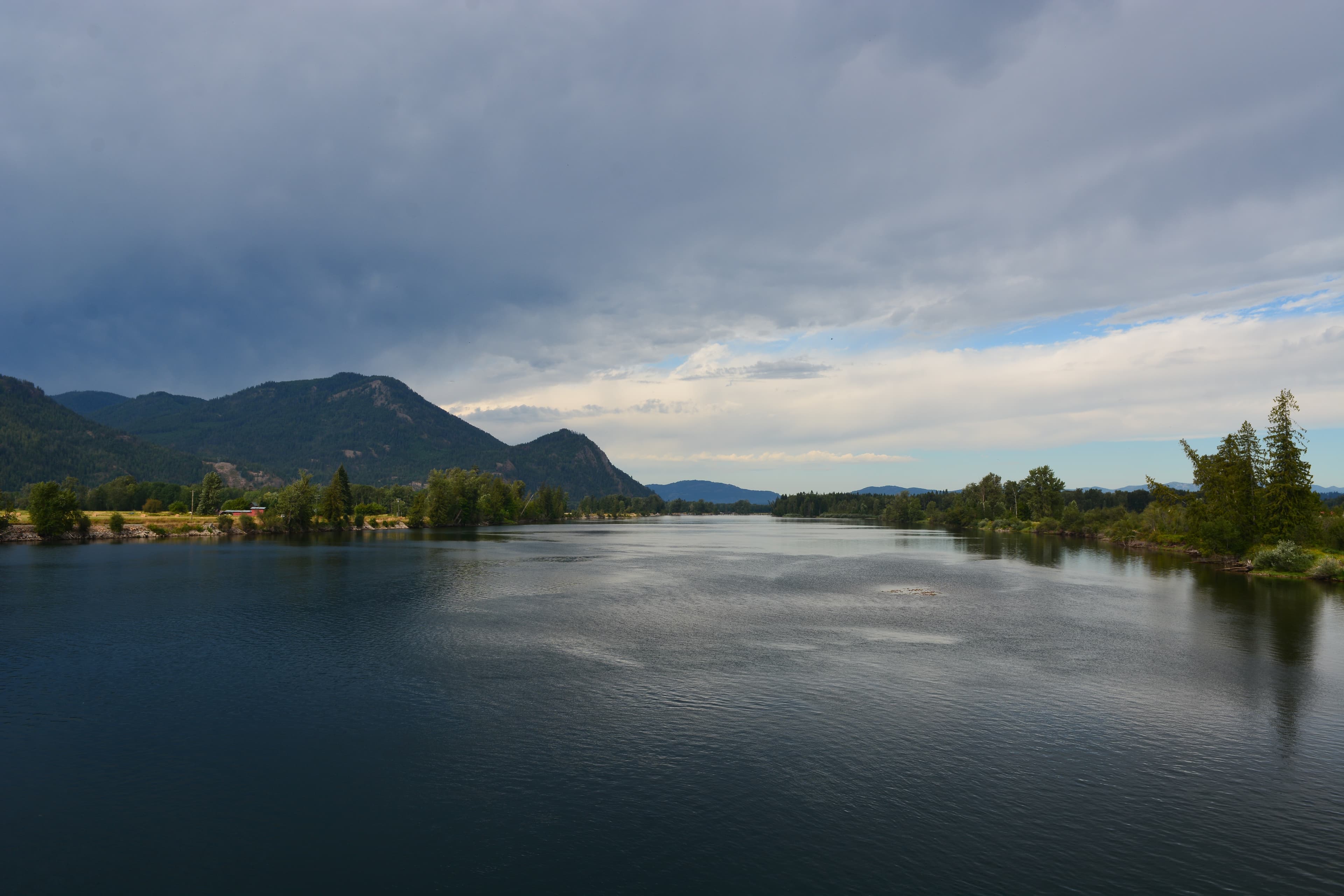
Clark Fork Ice Dam
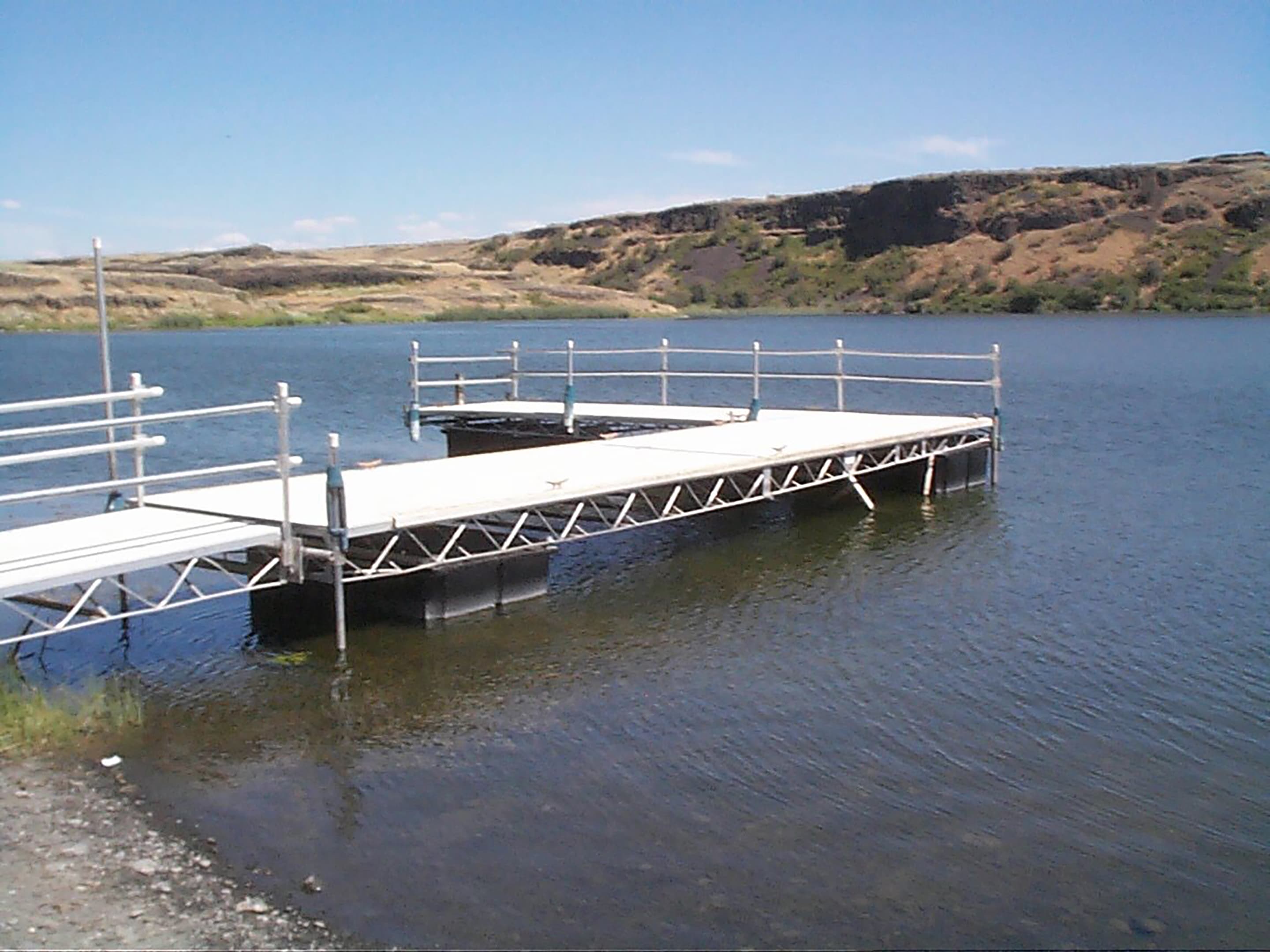
Coffeepot Lake Recreation Area
Audio & media
🎧
🎬
🖼
Learn more
Volcanic necks are the remnants of a volcano’s conduit and plumbing system that remain after most of the rest of the volcano has been eroded away.
How Ice Age Floods National Geologic Trail connects
This park's activities, topics, location, and on-the-ground places — one hop in the graph. Drag to explore; click an activity, topic, or related park to follow it.
Park
Activity
Topic
State
PassportStamp
Similar parks
Share activities & topics with Ice Age Floods National Geologic Trail.
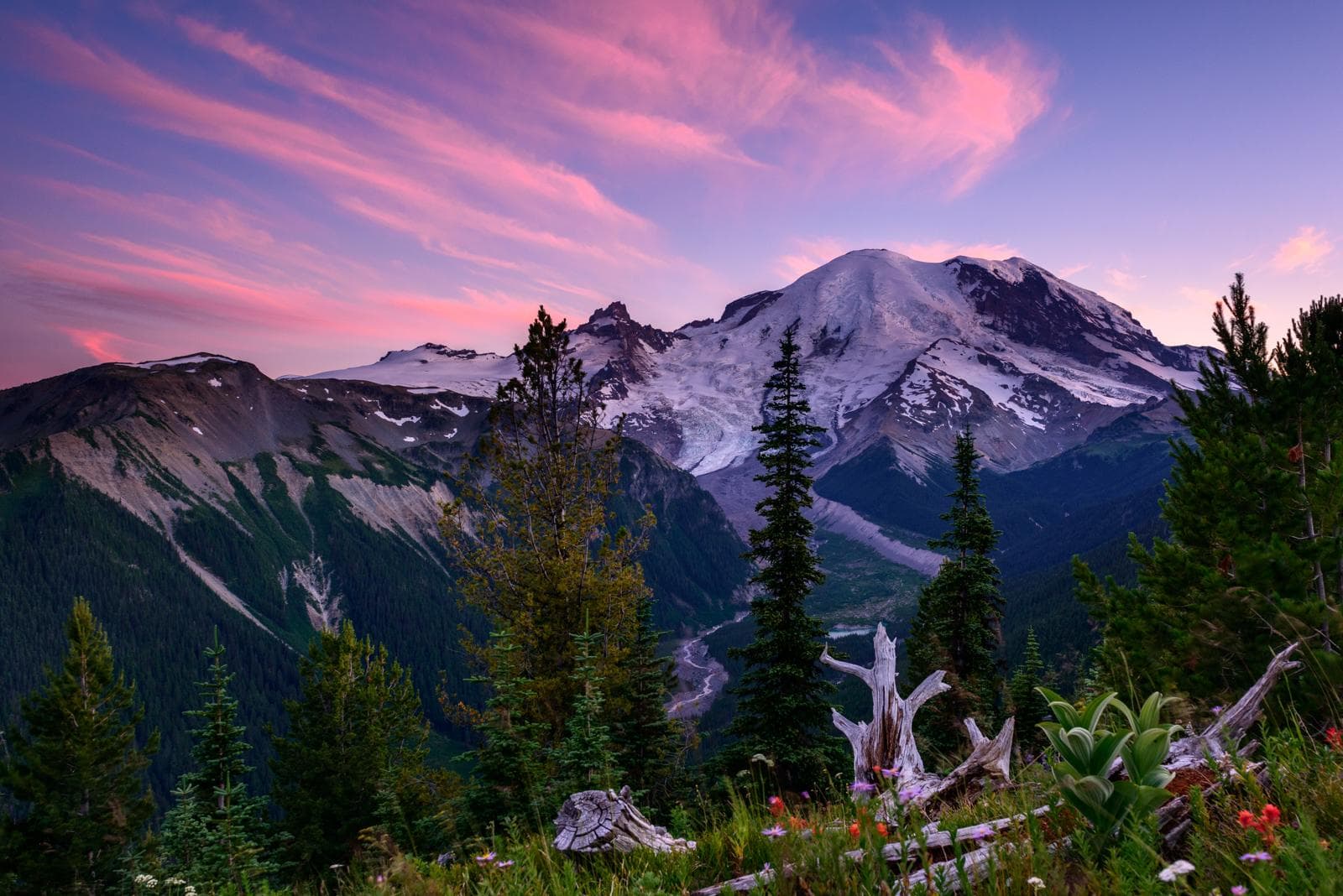
Nearby parks
Often planned together
Parks travelers add to the same trip as Ice Age Floods National Geologic Trail.