Guadalupe Mountains National Park
Texas
Tonight
🌓 65% moon
9.1 h fully dark
Hikes
Easy–Strenuous
🟢 🟡 🔴
Crowds
low
Open today
Open
Entrance
$10
Park Store To Go Cashless
Starting August 14th, 2025 the park store will go cashless. All major credit cards, debit cards and mobile electronic payments will be accepted.
Williams Ranch Road Closed
The Williams Ranch Road is currently impassable and closed to public access due to unsafe conditions.
Official NPS alert →Devil's Hall is a Strenuous Hike
The hike to Devil's Hall is rated as strenuous. The portion of the route in the wash requires rock scrambling and is dangerous when wet or if water is present. The wash surface is loose gravel and rocks and may be unstable.
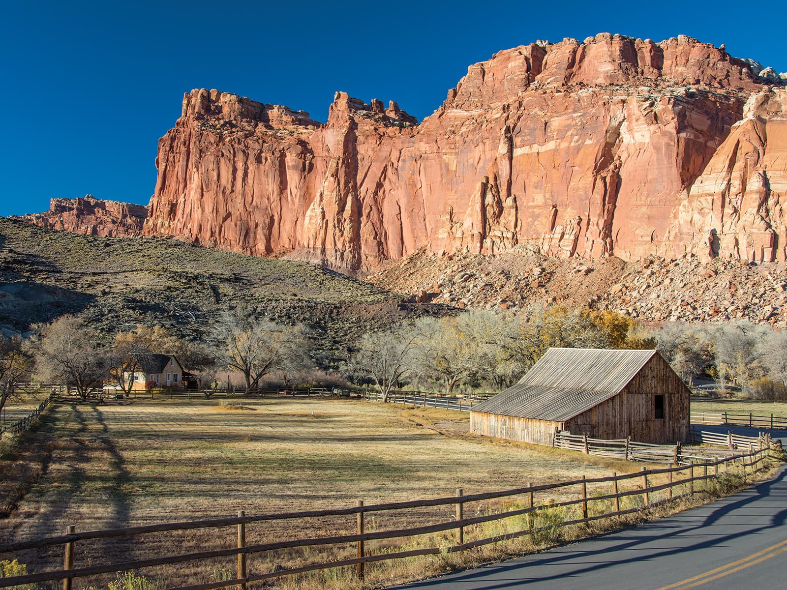
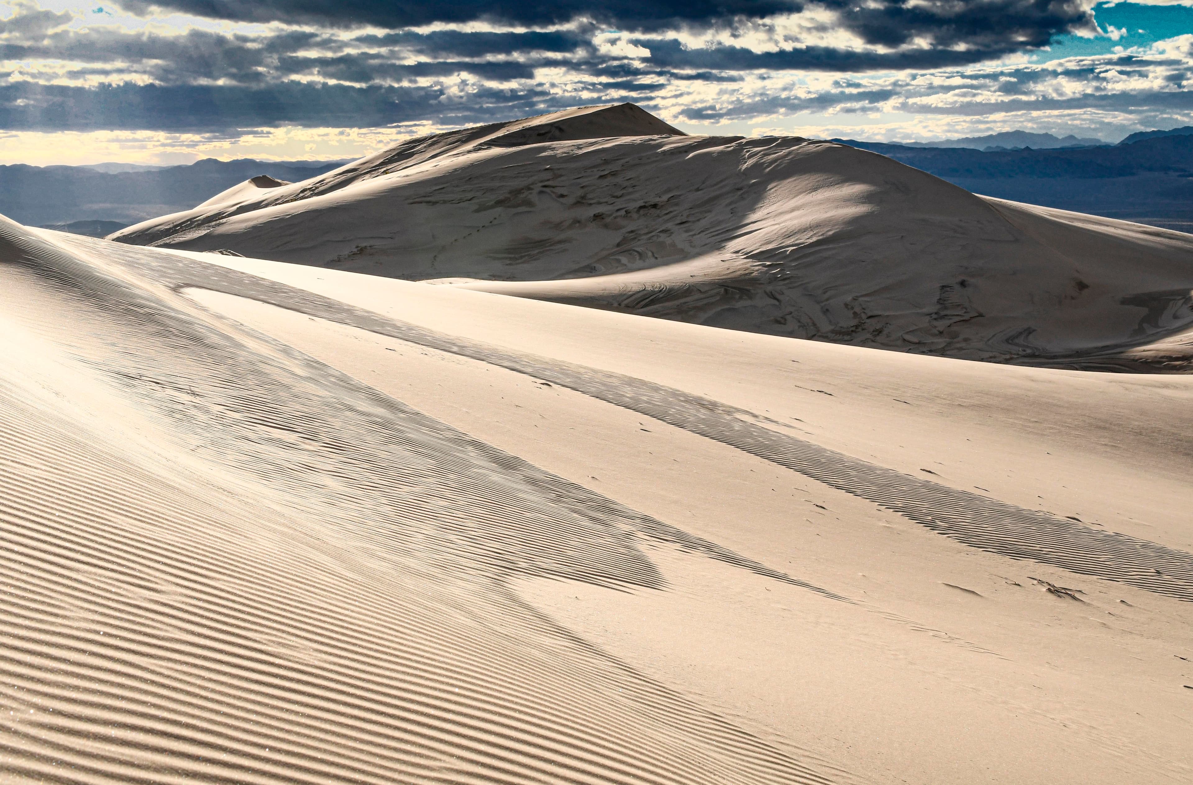
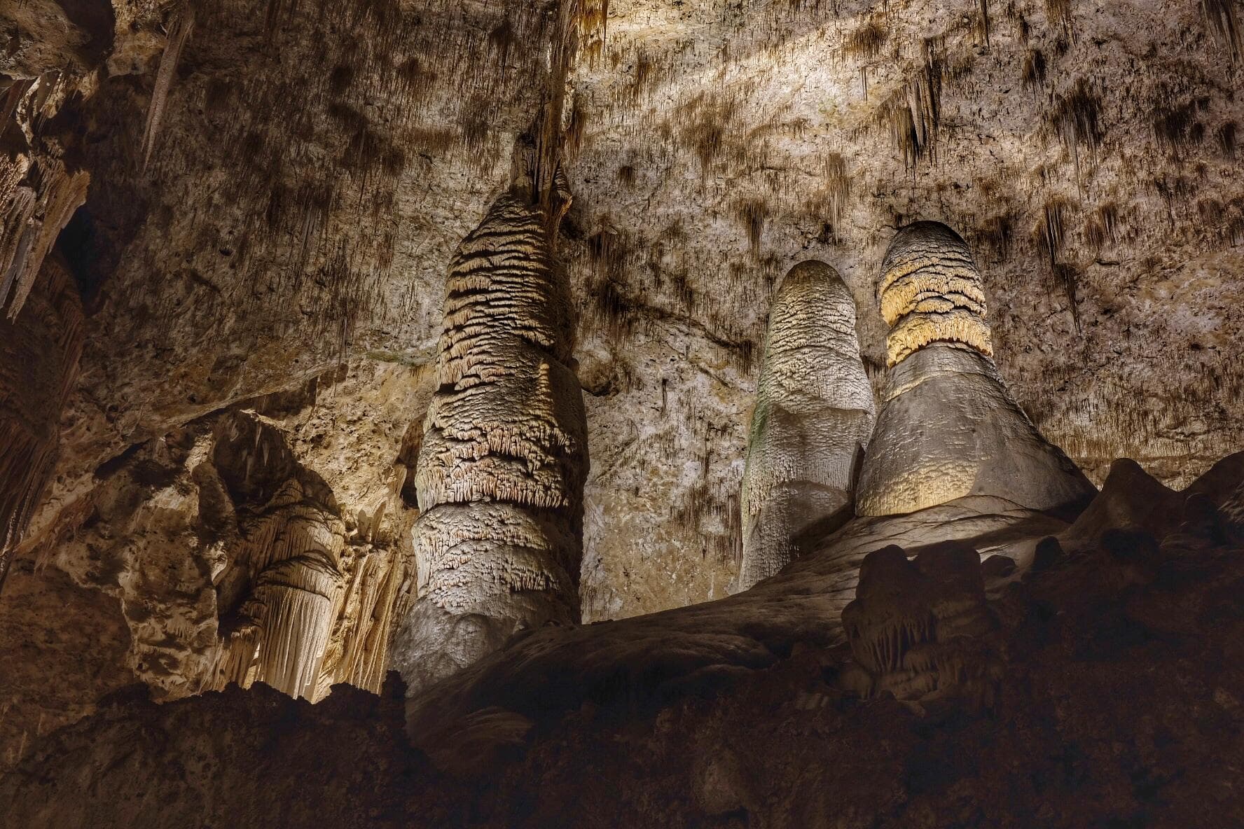
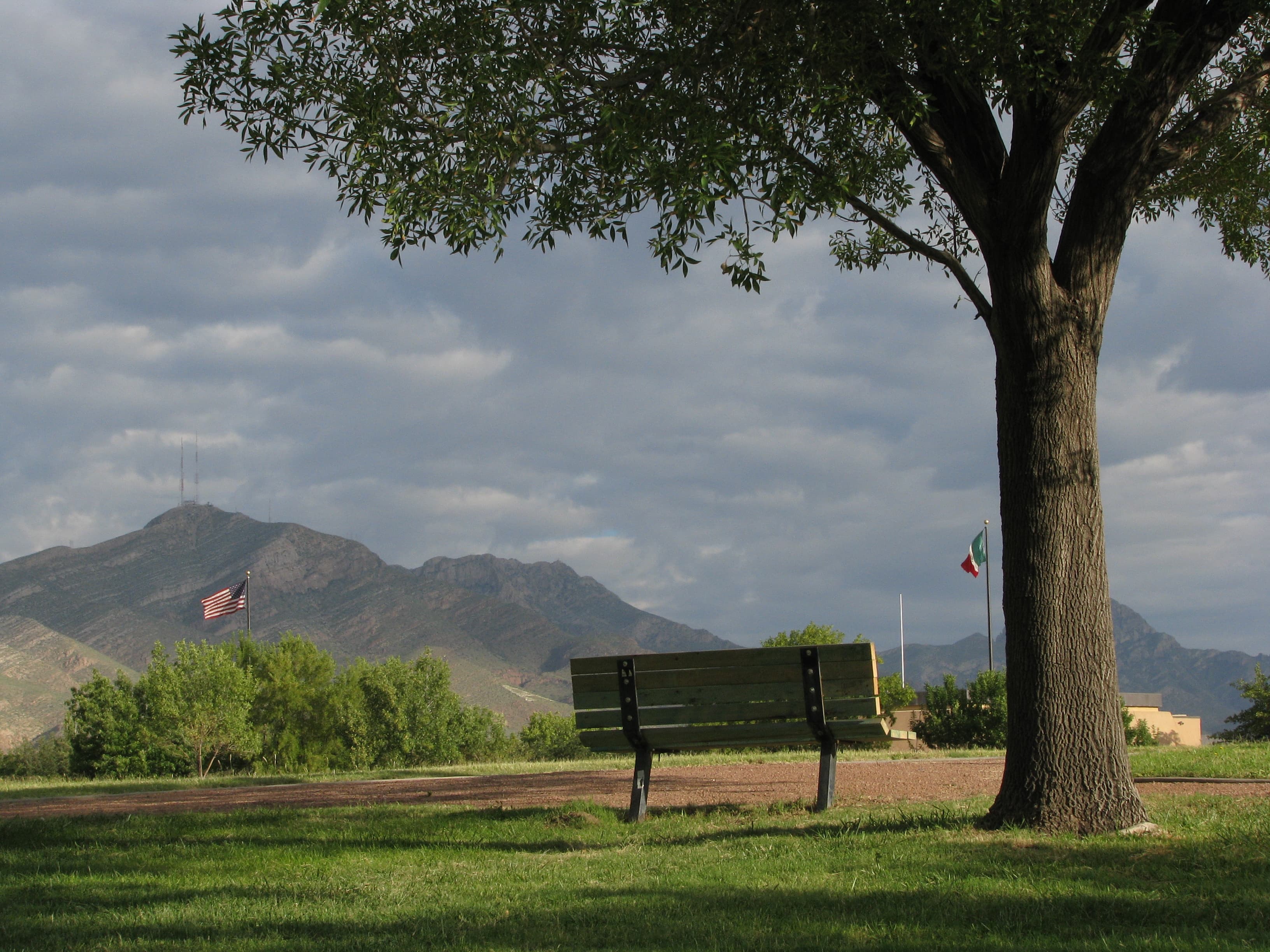
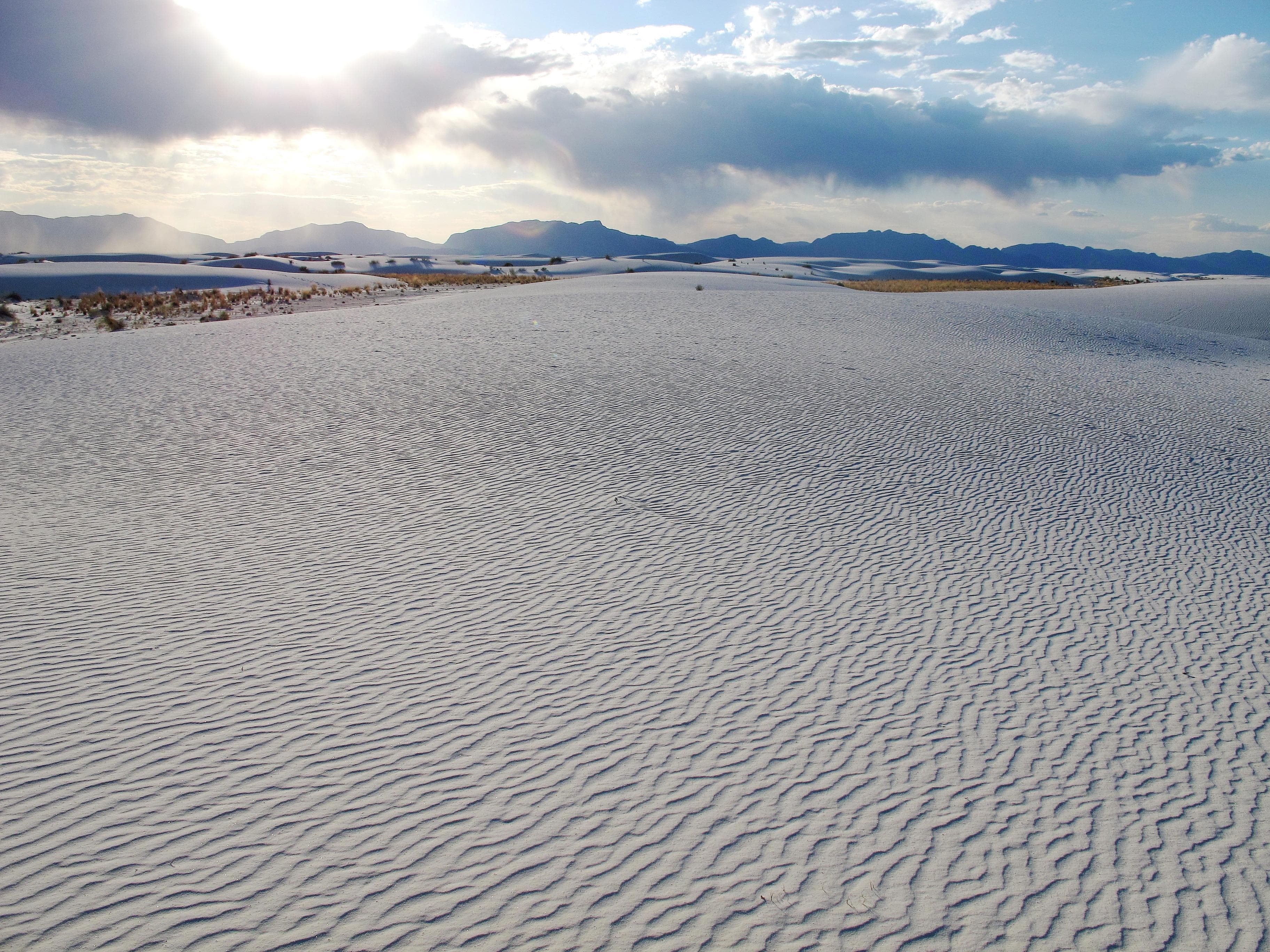
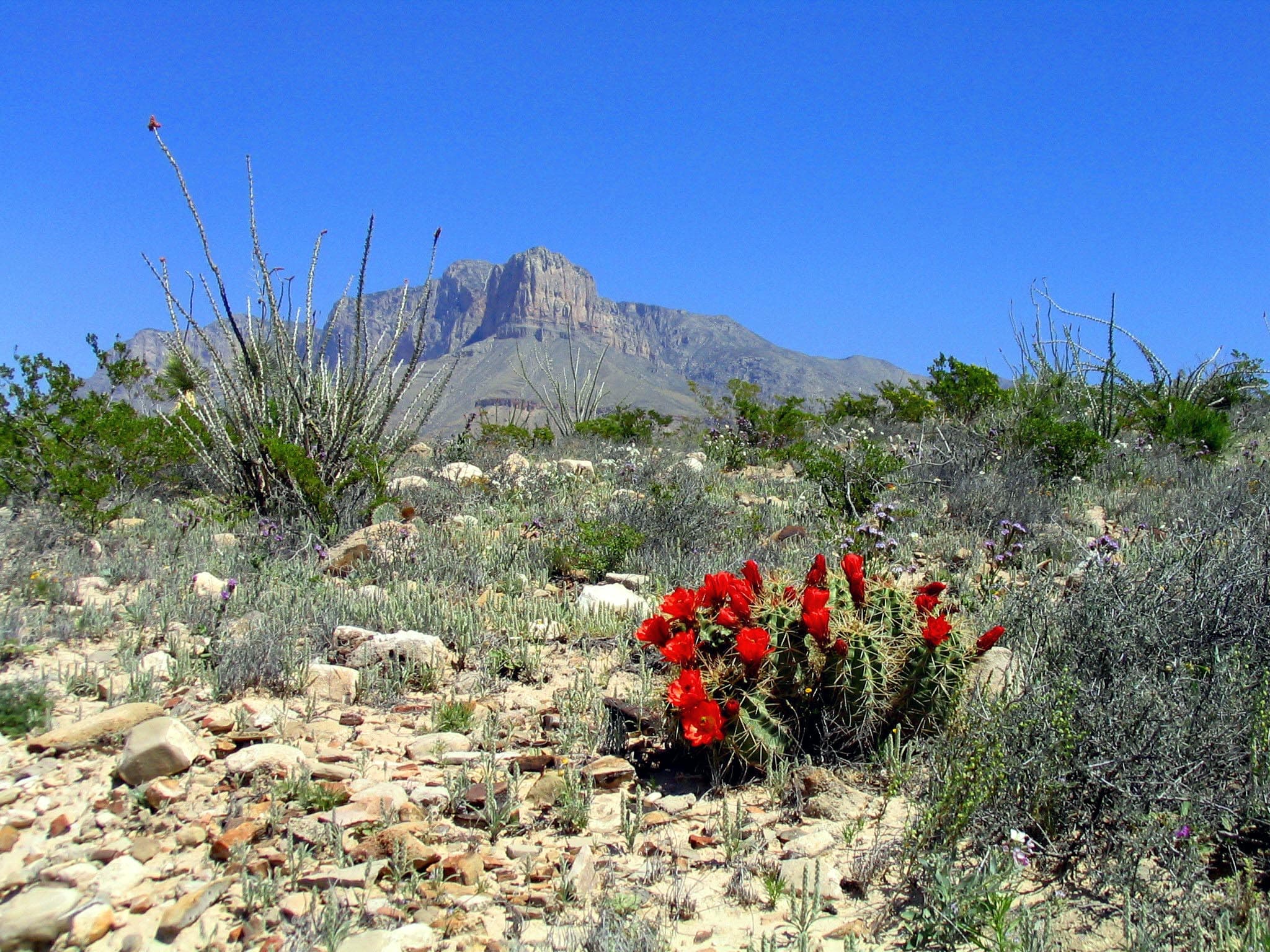
Official NPS alert →Come experience mountains and canyons, desert and dunes, night skies and spectacular vistas within a place unlike any other. Guadalupe Mountains National Park protects the world's most extensive Permian fossil reef, the four highest peaks in Texas, an environmentally diverse collection of flora and fauna, and the stories of lives shaped through conflict, cooperation and survival.
Activities
Topics
Entrance fees
$10.00 — Entrance - Per Person
$0.00 — Entrance - Education/Academic Groups
Hours & seasons
The Pine Springs area, including the campground, visitor center, trailhead, and associated parking areas are open and accessible all of the time during normal operations. Camping is permitted in designated campsites only.
Generally open:
winterspringsummerfallHours are reported by the park — verify before you go.
📞 915-828-3251
✉ gumo_information@nps.govConditions
Quietest months (fewer crowds): Jan, Jul, Aug, Sep
Typical crowds: low
Weather now: ☀️ Clear, 71°F
☁️ 73°/58°
☁️ 75°/57°
🌦️ 72°/55°
Typical monthly recreation visits · NPS avg 2023–2025 — orange months are the quietest by crowds.
Quietest months
Relative crowds by month — lighter is quieter; ringed months are the calmest by crowds.
Jan
30%
Feb
50%
Mar
100%
Apr
78%
May
52%
Jun
36%
Jul
35%
Aug
22%
Sep
30%
Oct
58%
Nov
50%
Dec
66%
Log a sky reading
Measured the sky with an SQM meter or app? Add your reading (16 = city glow … 22 = pristine). Opt in under “Travelers like you” to share it on the community leaderboard.
Live conditions
El Capitan View ↗active
Dog Canyon View ↗active
Pine Springs Canyon View ↗active
McKittrick Canyon View ↗active
McKittrick Parking Lot ↗active
Things to do
Hiking off-trail
🔴 The Notch · 9 mi · 1092 ft gain
Overnight on Wilderness Ridge · 9 mi · 2000 ft gain · The need to carry all water with you is the primary limiting factor for all Wilderness trips in the Guadalupe Mountains.
Drive to Williams Ranch
Backpacking Preparation · 2000 ft gain
Guadalupe Peak Viewpoint
Visit the historic Frijole Ranch
McKittrick Canyon to Dog Canyon · 15 mi · 2380 ft gain
Campgrounds
Blue Ridge Wilderness Campground ↗ · 5 sites
Bush Mountain Wilderness Campground ↗ · 5 sites
Dog Canyon Campground ↗ · 15 sites
Frijole Horse Corral Campground ↗ · 1 sites
Guadalupe Peak Wilderness Campground ↗ · 5 sites
Marcus Wilderness Campground ↗ · 5 sites
McKittrick Ridge Wilderness Campground ↗ · 8 sites
Mescalero Wilderness Campground ↗ · 8 sites
Pine Springs Campground ↗ · 35 sites
Pine Top Wilderness Campground ↗ · 8 sites
Shumard Canyon Wilderness Campground ↗ · 5 sites
Tejas Wilderness Campground ↗ · 5 sites
Wilderness Ridge Wilderness Campground ↗ · 5 sites
Visitor centers
Dog Canyon Ranger Station
McKittrick Canyon Contact Station
Pine Springs Visitor Center
Accessibility
11 accessible campground(s)
6 audio-described place(s)
Reported by the park — verify before you go.
Parking
Dog Canyon Trailhead · 8 accessible spaces
Frijole Ranch · 19 accessible spaces
McKittrick Canyon Visitor Center and Trailhead · 40 accessible spacesaccessible
Pine Springs Trailhead · 44 accessible spacesaccessible
Pine Springs Visitor Center · 47 accessible spacesaccessible
Pinery Parking Area · 15 accessible spacesaccessible
Salt Basin Dunes Trailhead · 11 accessible spacesaccessible
Not an official safety source — always defer to NPS.gov and rangers for life-safety decisions.
By the numbers
A visual read on Guadalupe Mountains National Park — its character, trails, sky, and weather.
Park fingerprint
How this park scores across the dimensions travelers care about.
Trail difficulty
Difficulty mix across this park's trails.
Trail profile
Each dot is a trail — distance vs. elevation gain, by difficulty.
3-day forecast
Daily high and low temperatures (°F).
People & stories
Figures tied to Guadalupe Mountains National Park — each spans a cross-park journey.
Bertha Glover
— Walter Glover, Pine SpringsGabriel Turner
— Reconstruction, Reconstruction Era, Reconstruction Era National Historical ParkGeronimo Segura
— West Texas, Texas, ApacheIris Calderhead Pratt
— Suffrage Movement, 19th Amendment, Guadalupe MountainsJ.C. Hunter Jr.
— Guadalupe Mountains, Texas, J. C. HunterJohn Butterfield
— Butterfield Overland Stage Route, History, StagecoachJudge J. C. Hunter
— Texas, Guadalupe Mountains, J. C. HunterJustice William O. Douglas
— Buffalo River, Buff 50, William O. DouglasPassport stamps
Mark the stamps you've collected — they show in your memory and along your routes.
🎫 Dog Canyon Ranger Station
🎫 McKittrick Canyon Contact Station
🎫 Pine Springs Visitor Center
Places to see
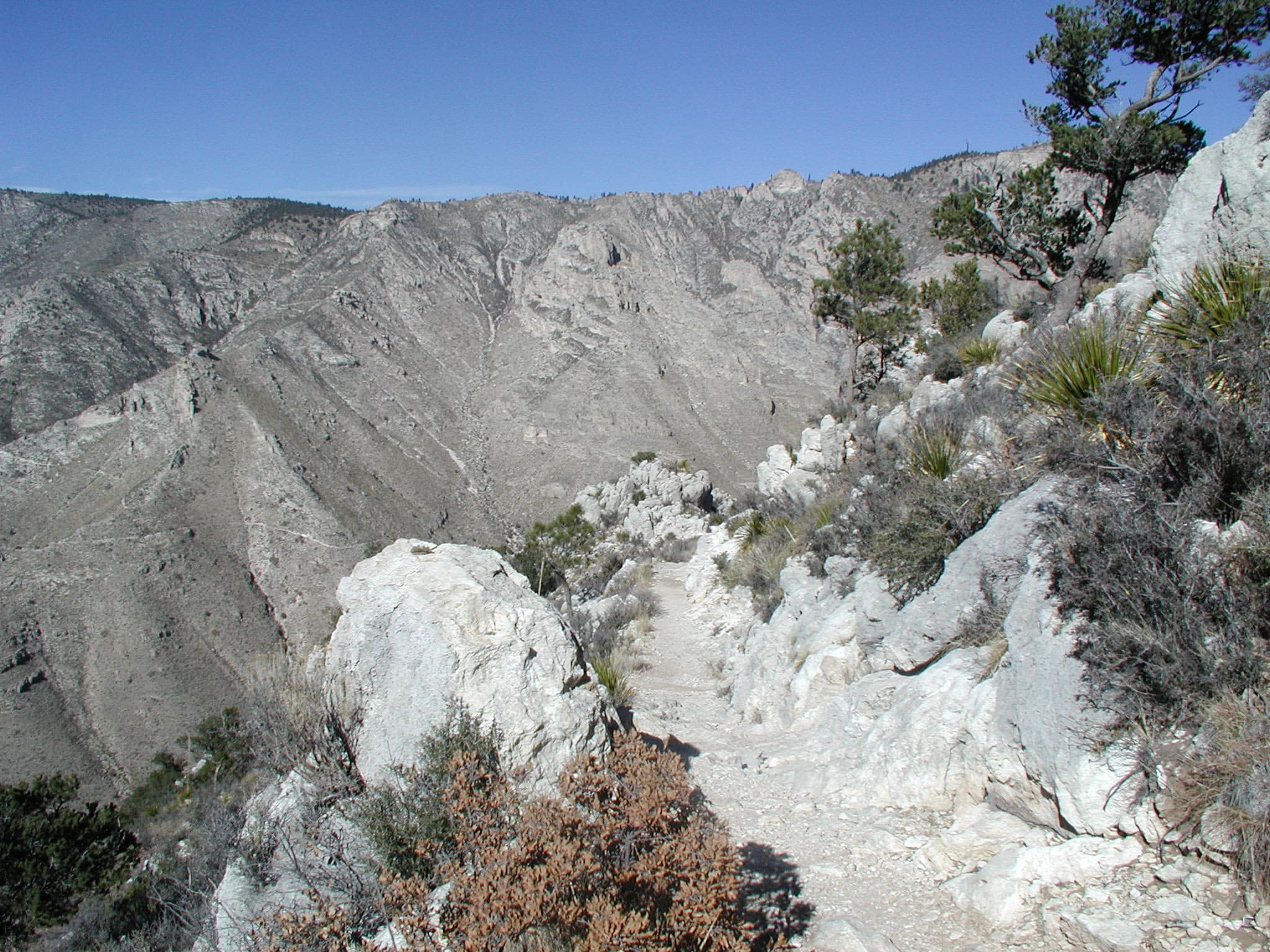
"Around The Bend"
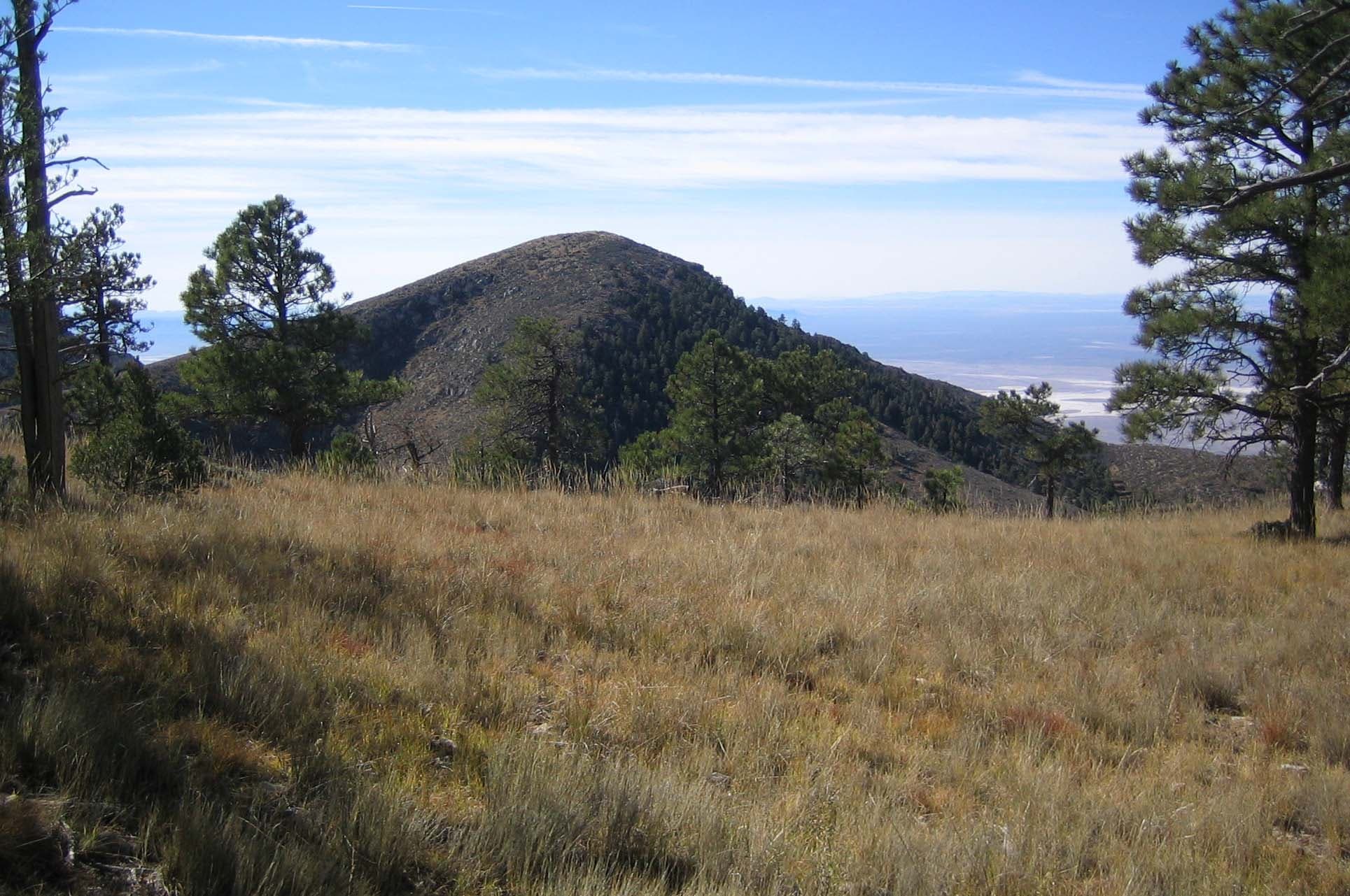
Bartlett Peak
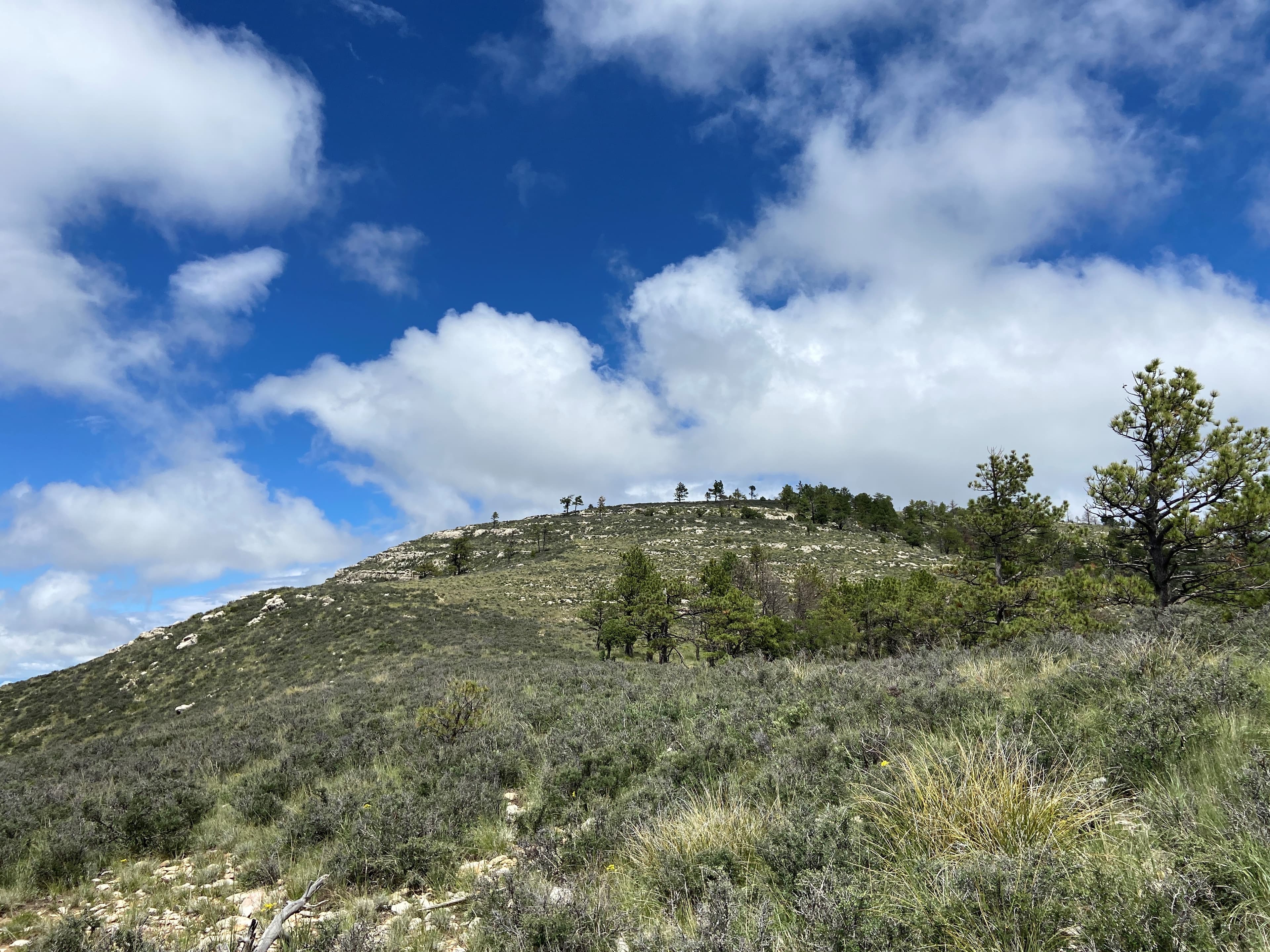
Bush Mountain
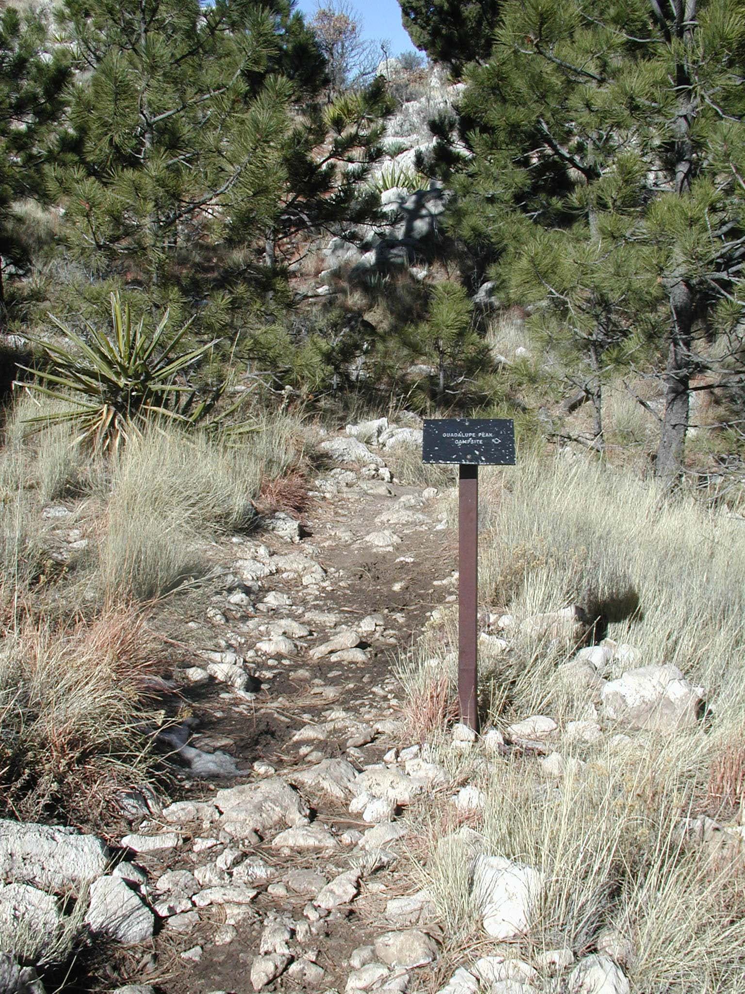
Campground Junction
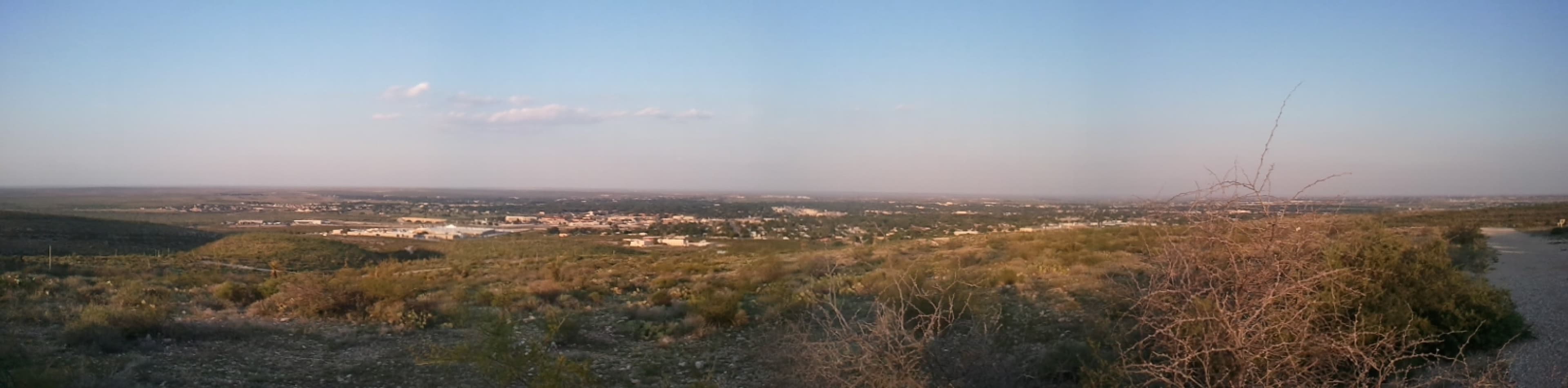
Carlsbad, New Mexico
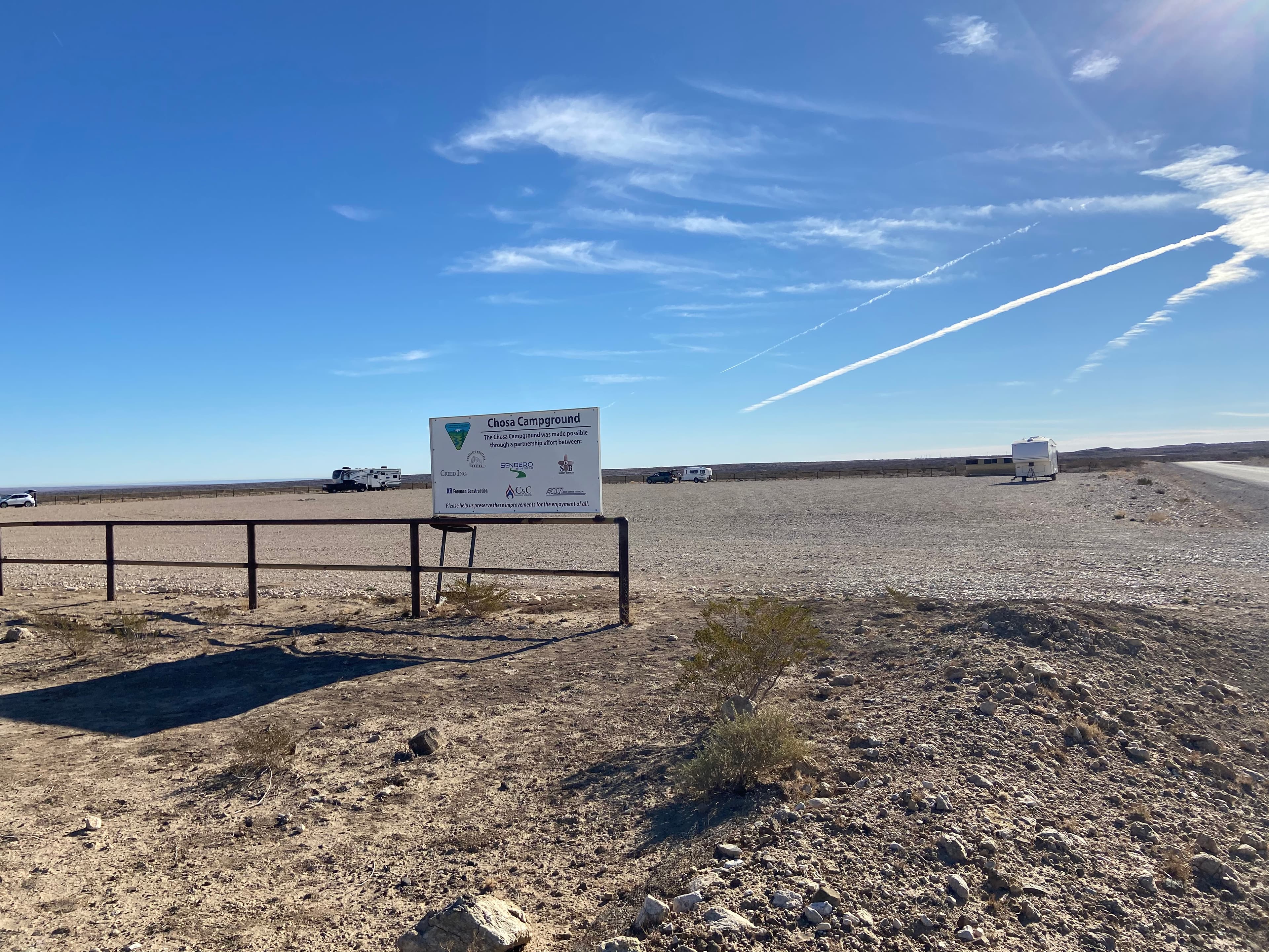
Chosa Campground (BLM)
audio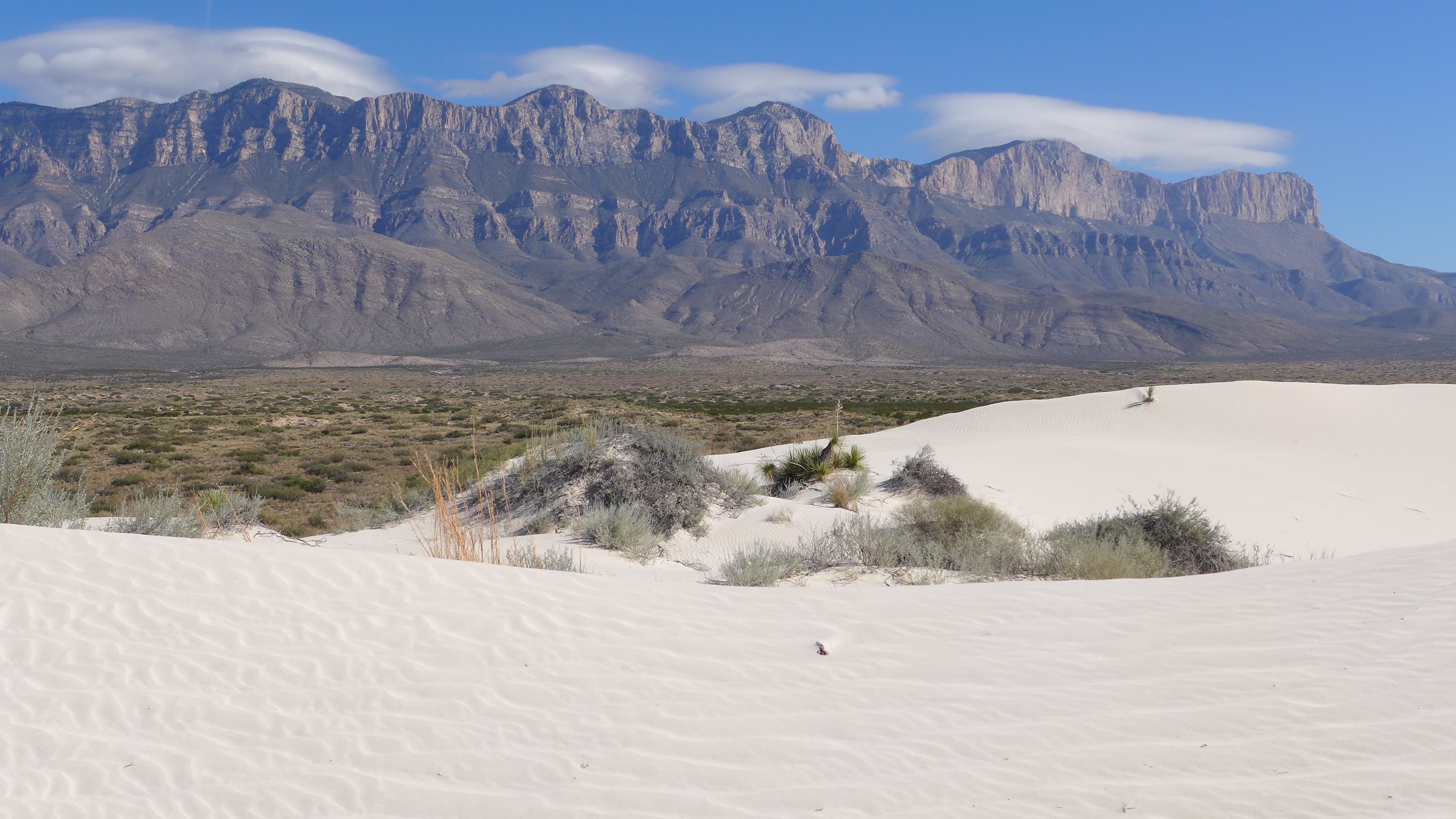
Dell City, Texas
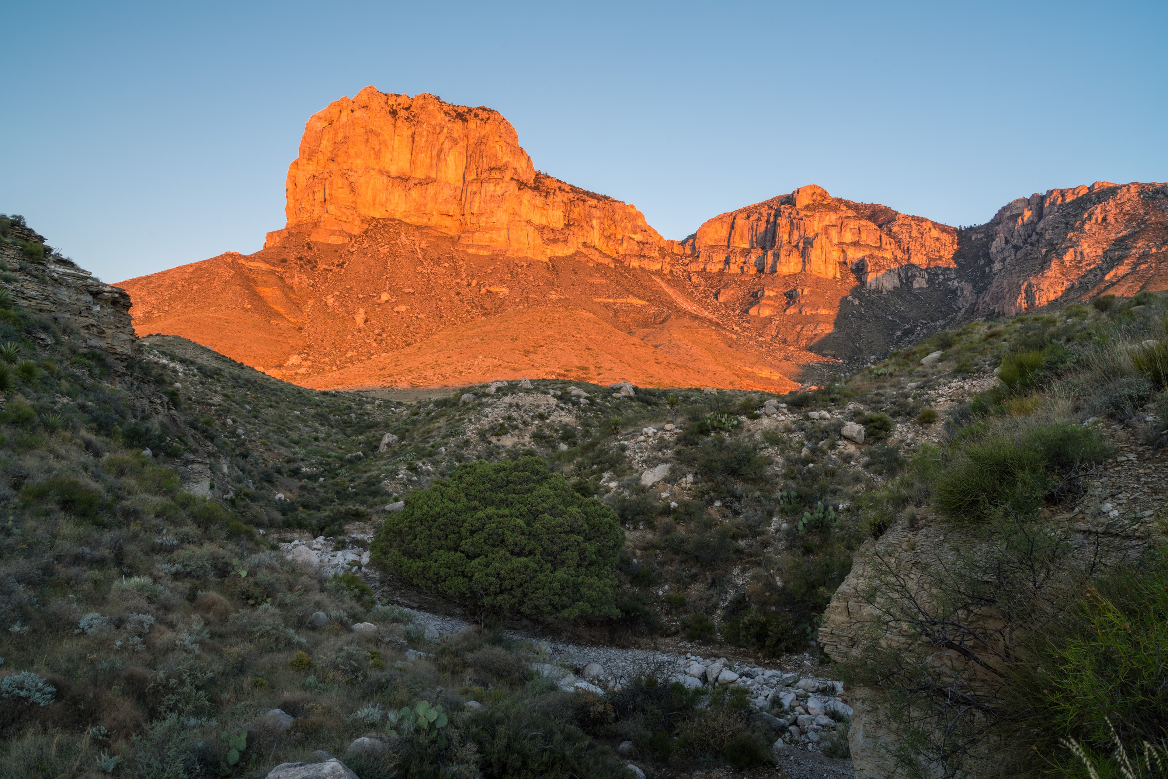
El Capitan
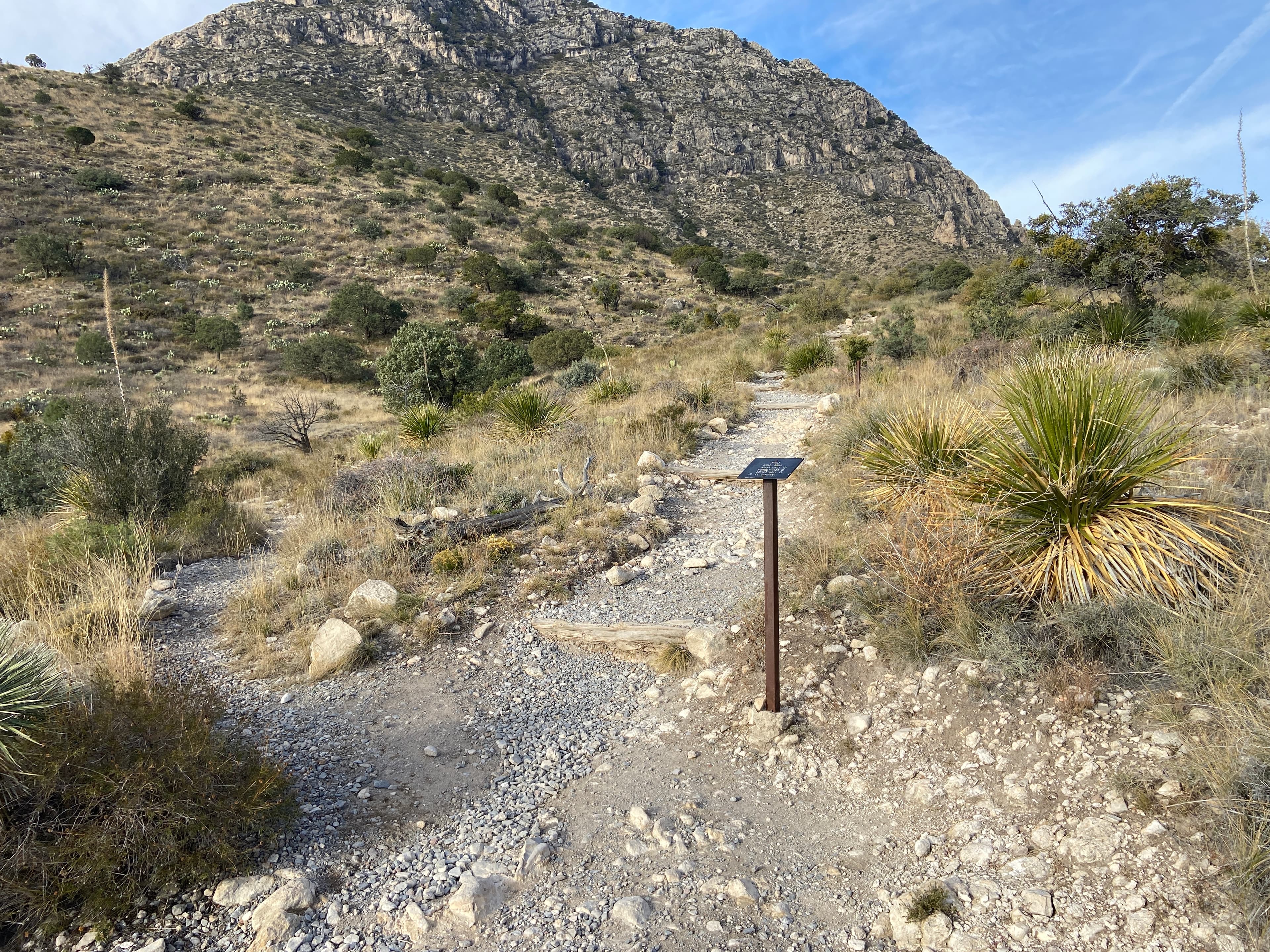
El Capitan Trail Junction
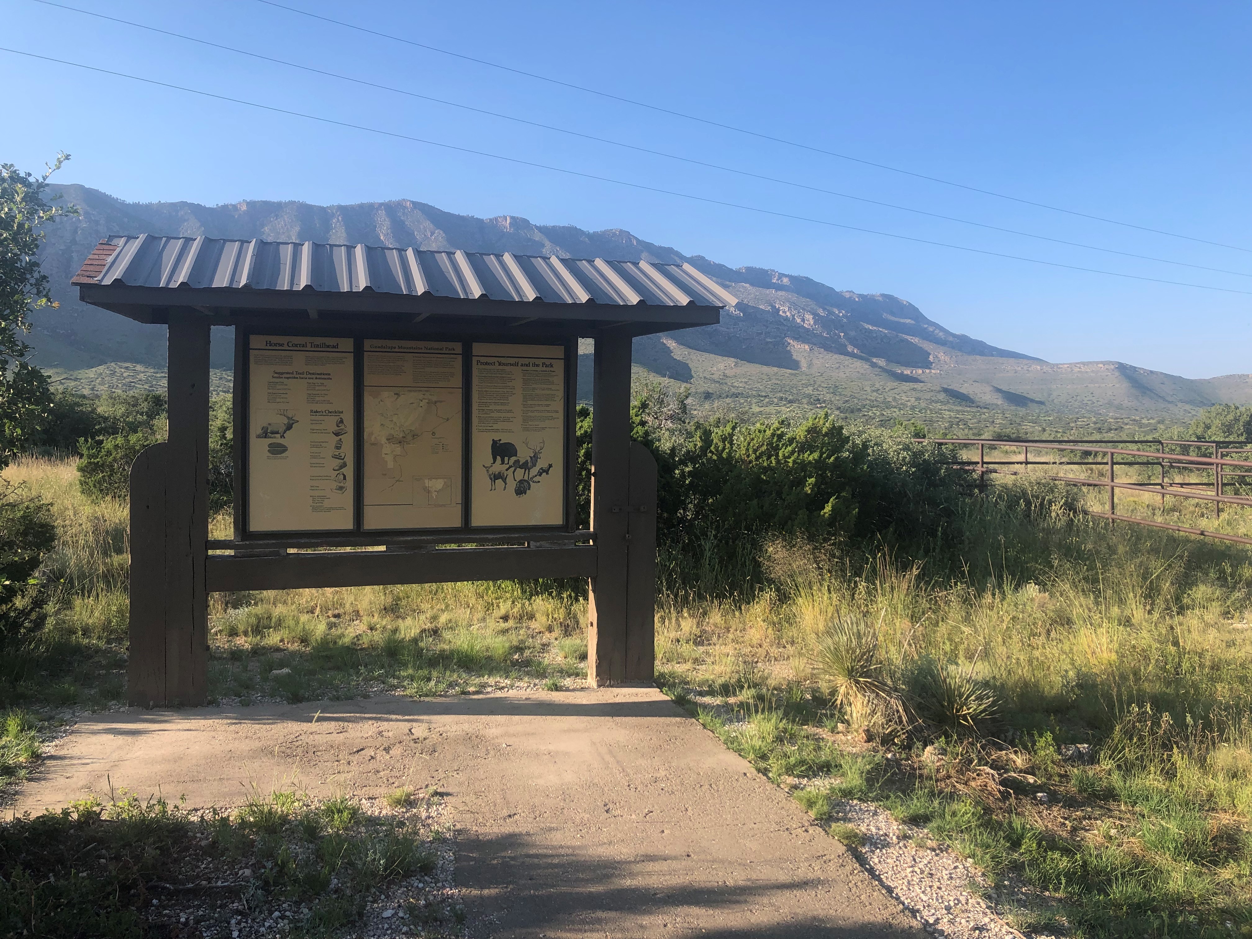
Frijole Horse Corral Trailhead
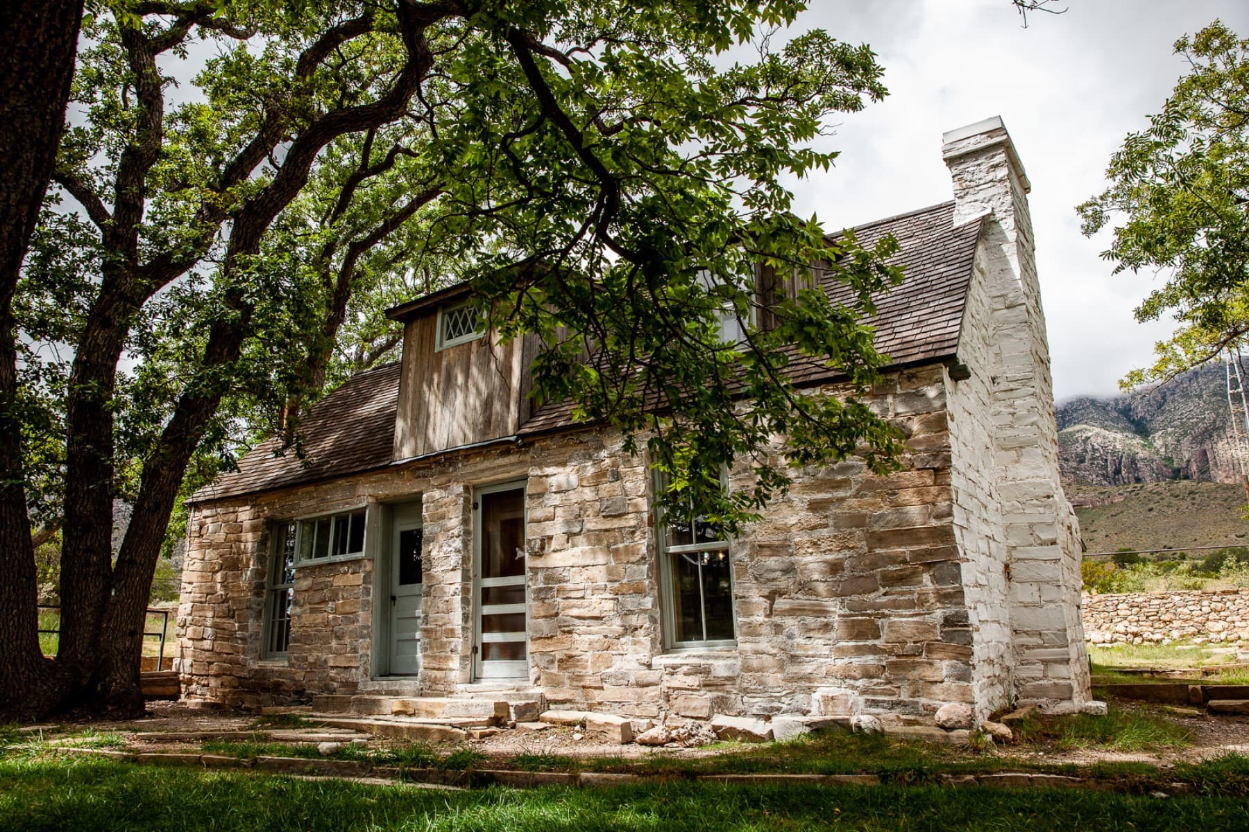
Frijole Ranch Museum
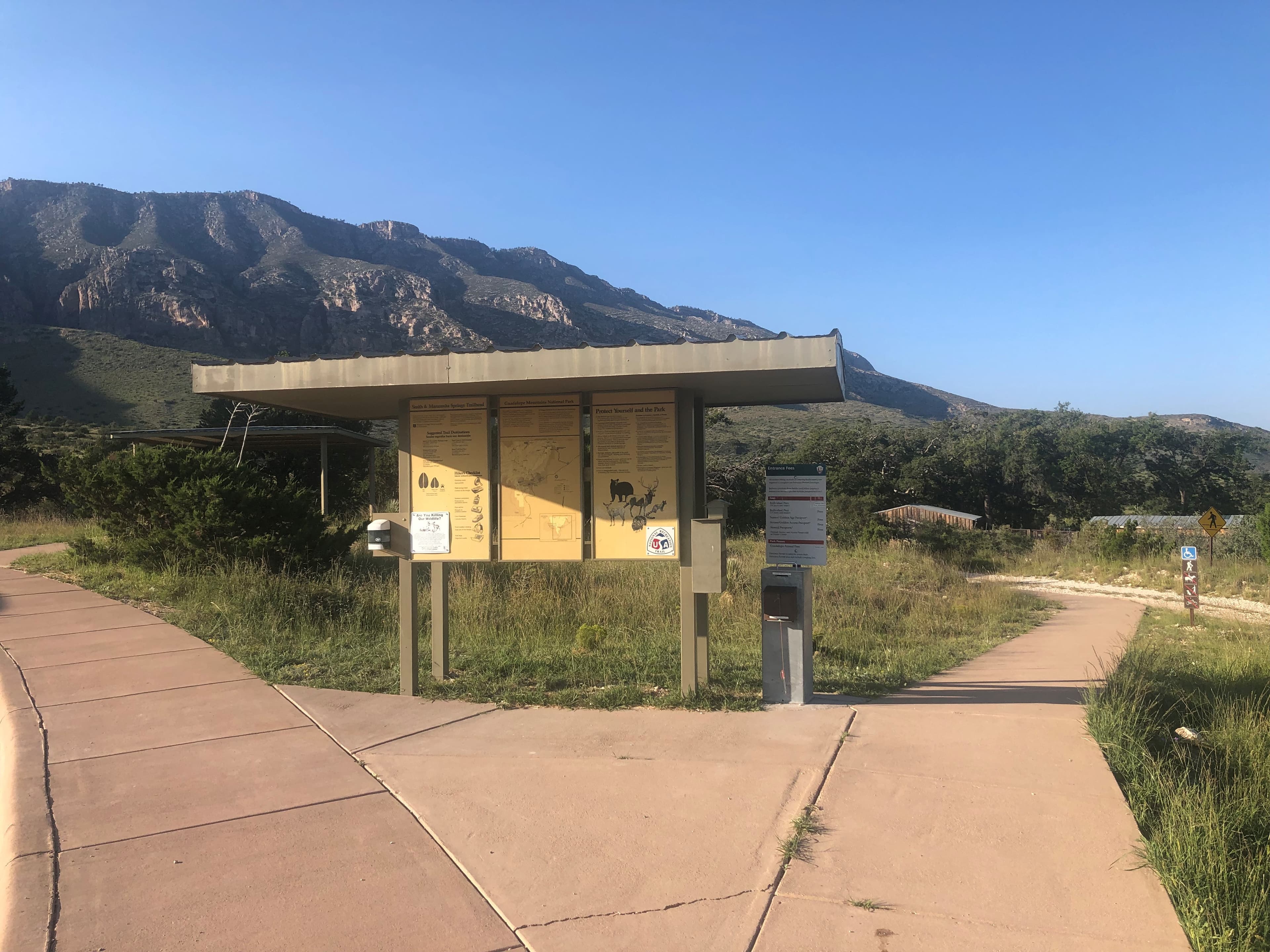
Frijole Ranch Trailhead
Audio & media
🎧
🎬
🖼
Learn more
As we reflect on 2024, we offer you a list of 24 interesting and exciting science and nature events from parks of the national park system. From awe-inspiring celestial events to celebrating anniversaries and conservation wins, 2024 was filled with amazing moments.
While Congress authorized Guadalupe Mountains National Park in 1966 and the National Park Service established the park in 1972, attempts to set the area aside as either a national park or monument date back to 1924, if not earlier. And yet, 50 years passed before the park was established. This article explores why the early interest came to nothing.
When the climate changes enough, the vegetation communities growing in any given place will also change. Under an expanded bimodal climate zone, some plant communities in western national parks are more likely to change than others. National Park Service ecologists and partners investigated the future conditions that may force some of this change. Having this information can help park managers decide whether to resist, direct, or accept the change.
Both the Clean Air Act and the National Park Service Organic Act protect air resources in national parks. Park resources affected by air quality include scenery and vistas, vegetation, water, and wildlife. Over the past three decades, the National Park Service has developed several internal and cooperative programs for monitoring various measures of air quality.
Three park units in the Chihuahuan Desert Network, Big Bend National Park (NP), Carlsbad Caverns NP, and Guadalupe Mountains NP are designated as Class I air quality areas under the Clean Air Act. Class I areas receive the highest protection under the act, and degradation of air quality must be minimal. Air quality concerns include atmospheric deposition effects and visibility impairment from fine particle haze.
The National Parks Conservation Association uses the cultural landscapes framework to bring a wider audience and new voices to historic preservation and help protect these sites for current and future generations. A century later, we have 1.3 million members and supporters across the country, who use their voices to support Parks, speak up for those stories and iconic landscapes.
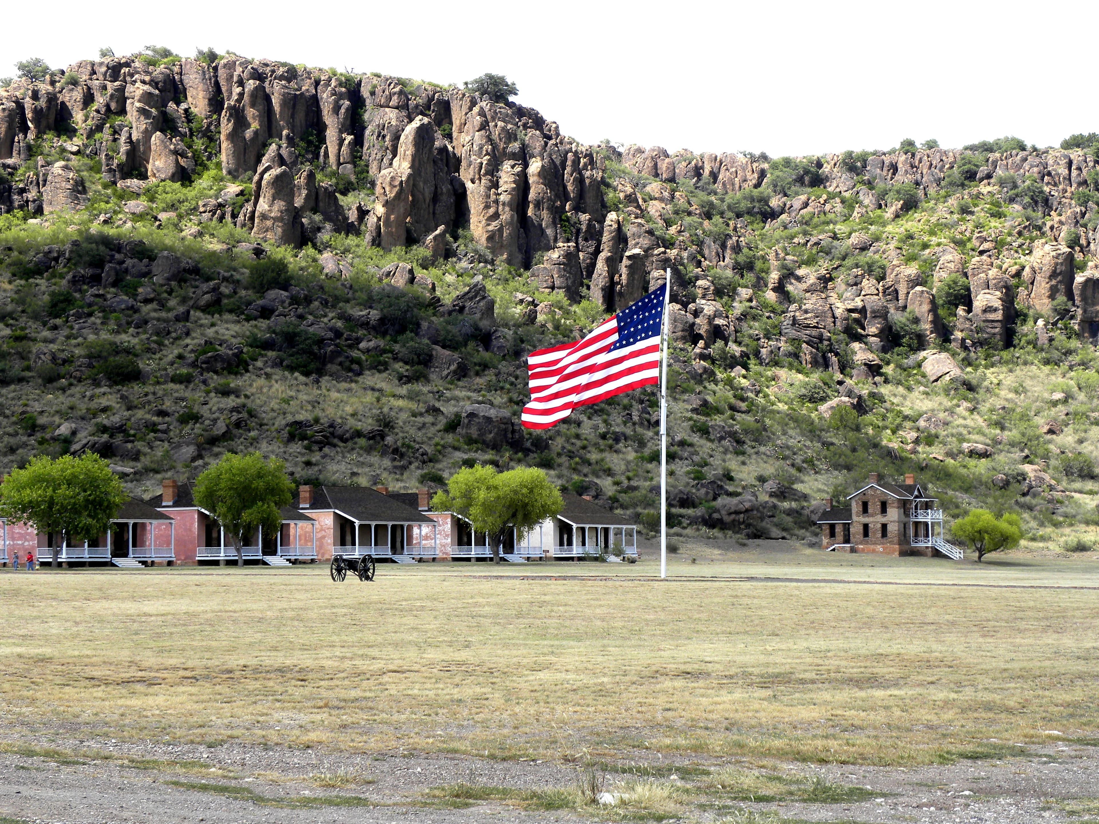
The Guadalupe Mountains were one of the last strongholds of the Mescalero Apache who had been fighting for nearly three centuries to preserve their lands and their way of life. In the late 1870s the US Army established a force projection camp garrisoned by African American soldiers at Pine Springs in present-day Guadalupe Mountains National Park.
The Cenozoic Era (66 million years ago [MYA] through today) is the "Age of Mammals." North America’s characteristic landscapes began to develop during the Cenozoic. Birds and mammals rose in prominence after the extinction of giant reptiles. Common Cenozoic fossils include cat-like carnivores and early horses, as well as ice age woolly mammoths.
Ranger School
Park-grounded courses you can learn with the Ranger.
Geology Lesson 1. The present is the key to the past.
Open →
Geology Lesson 2. Global building blocks
Open →
Geology Lesson 3. Where did the oceans go?
Open →
How Guadalupe Mountains National Park connects
This park's activities, topics, location, and on-the-ground places — one hop in the graph. Drag to explore; click an activity, topic, or related park to follow it.
Park
Activity
Topic
State
Campground
VisitorCenter
PassportStamp
ParkingLot
Trail
ThingToDo
Alert
Similar parks
Share activities & topics with Guadalupe Mountains National Park.