Ozark National Scenic Riverways
Missouri
Tonight
🌓 65% moon
8.9 h fully dark
Hikes
Easy
🟢
Crowds
moderate
Open today
Open
Entrance
Free entry
Reservations Required for All Campgrounds
As of January 1, 2025, ALL developed campsites will be available through reservation ONLY. These include Pulltite, Round Spring, Alley Spring, Big Spring, Two Rivers, and Akers. Reservations must be made through recreation.gov (online or by calling).
Official NPS alert →River Ferry at Akers (on State Highway K) CLOSED until further notice
The Akers Ferry on State Highway K will not be in service until further notice.
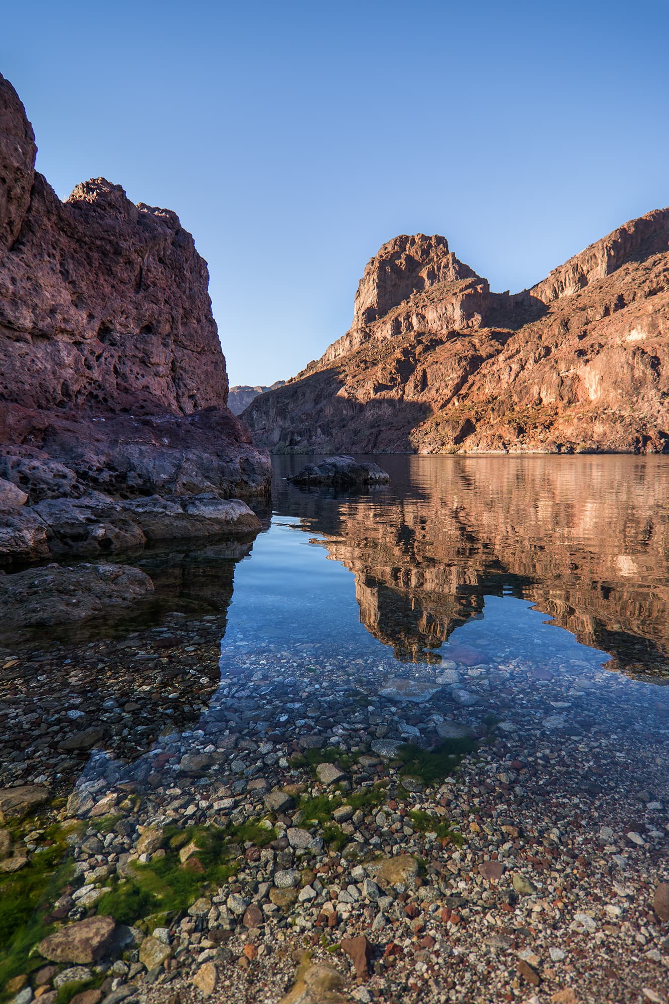
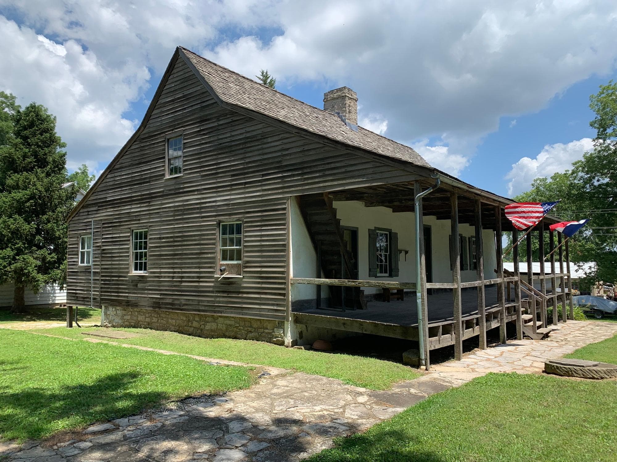
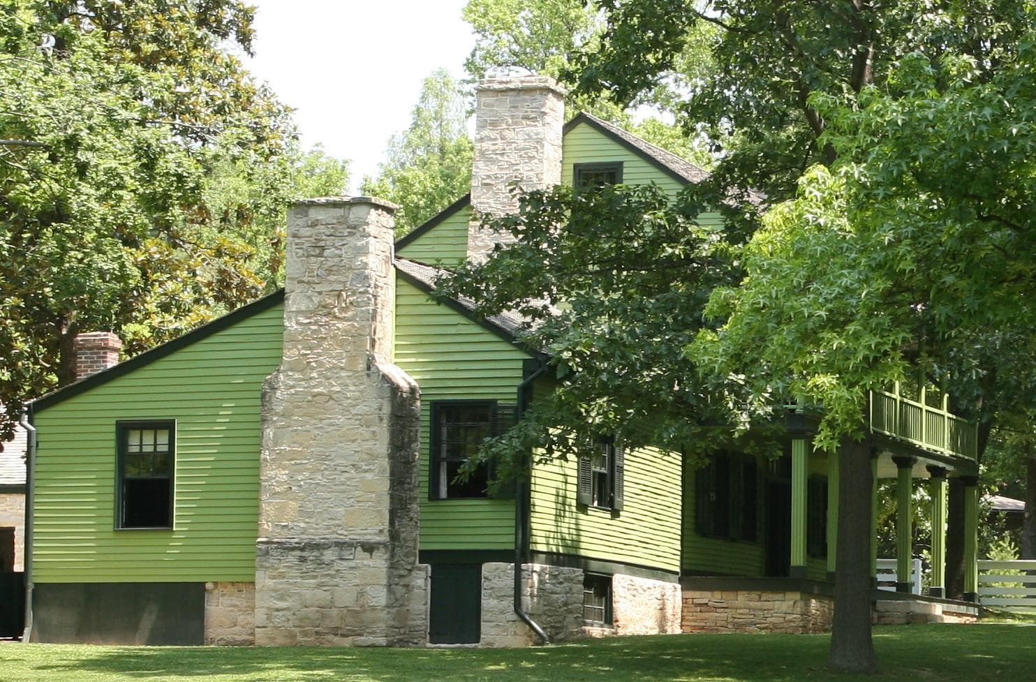
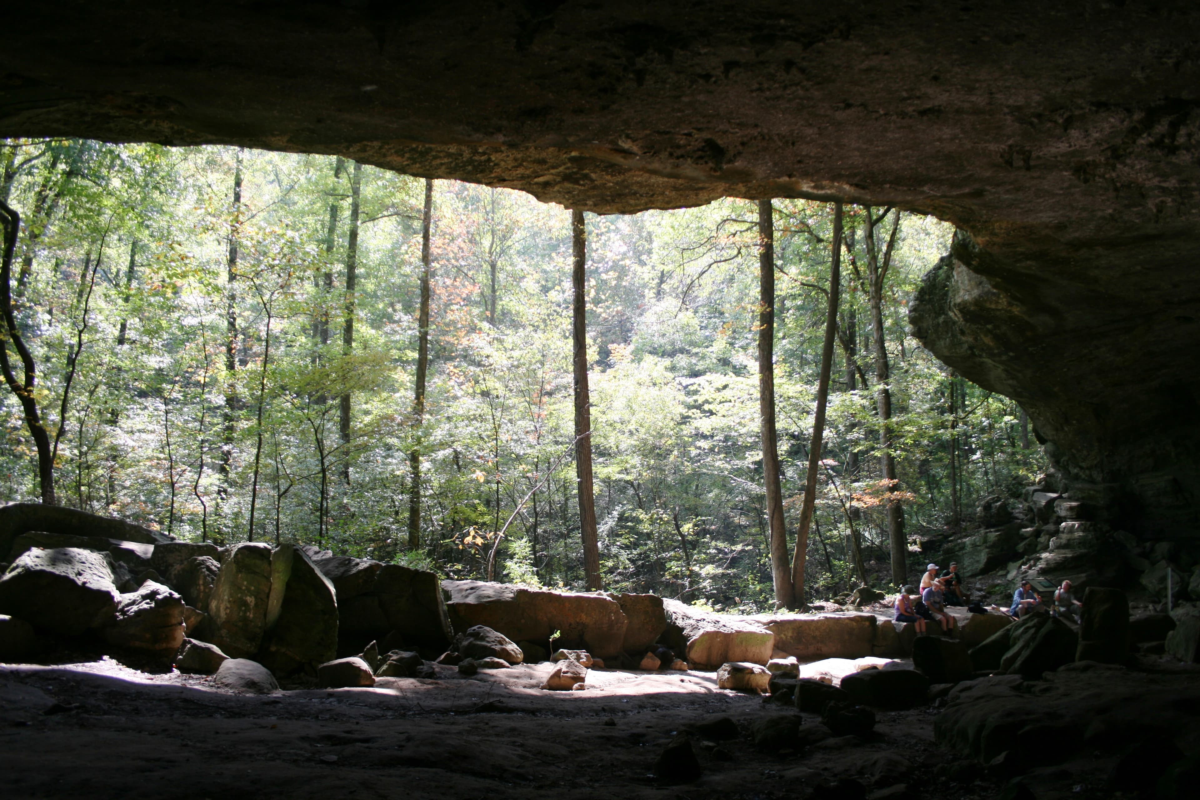
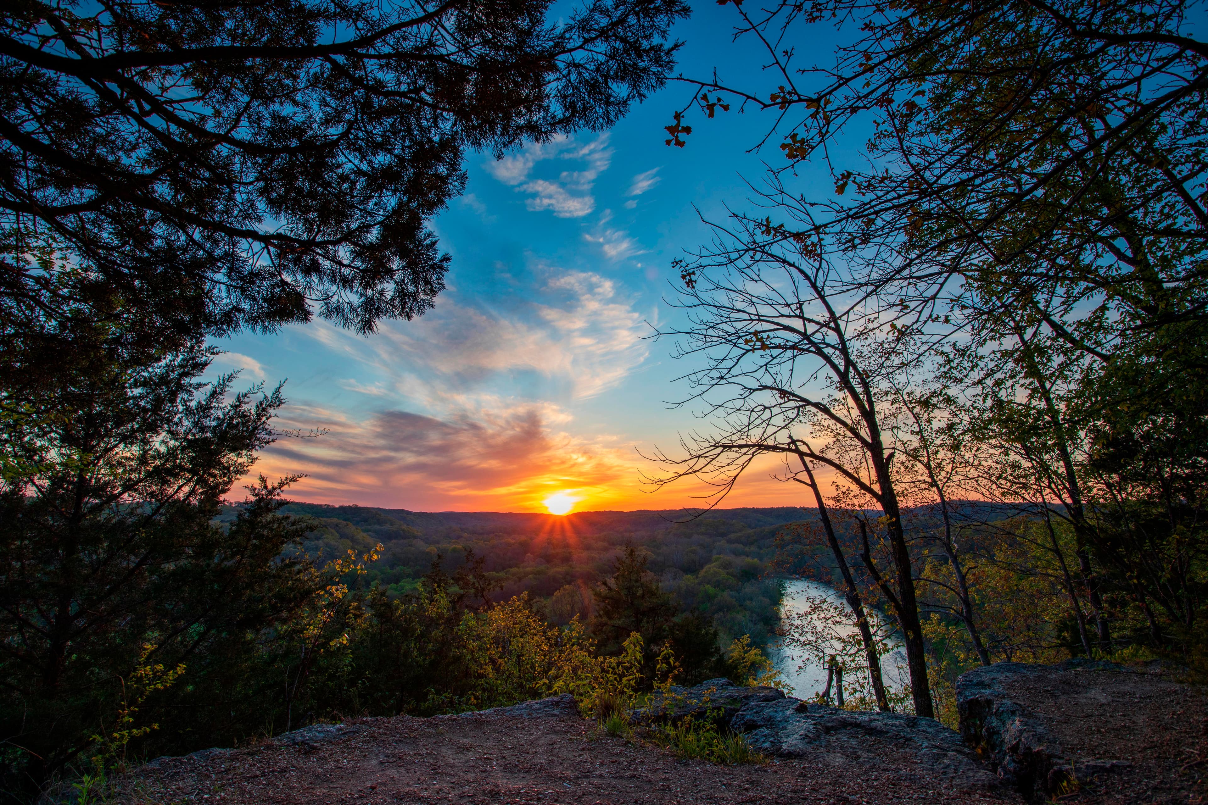
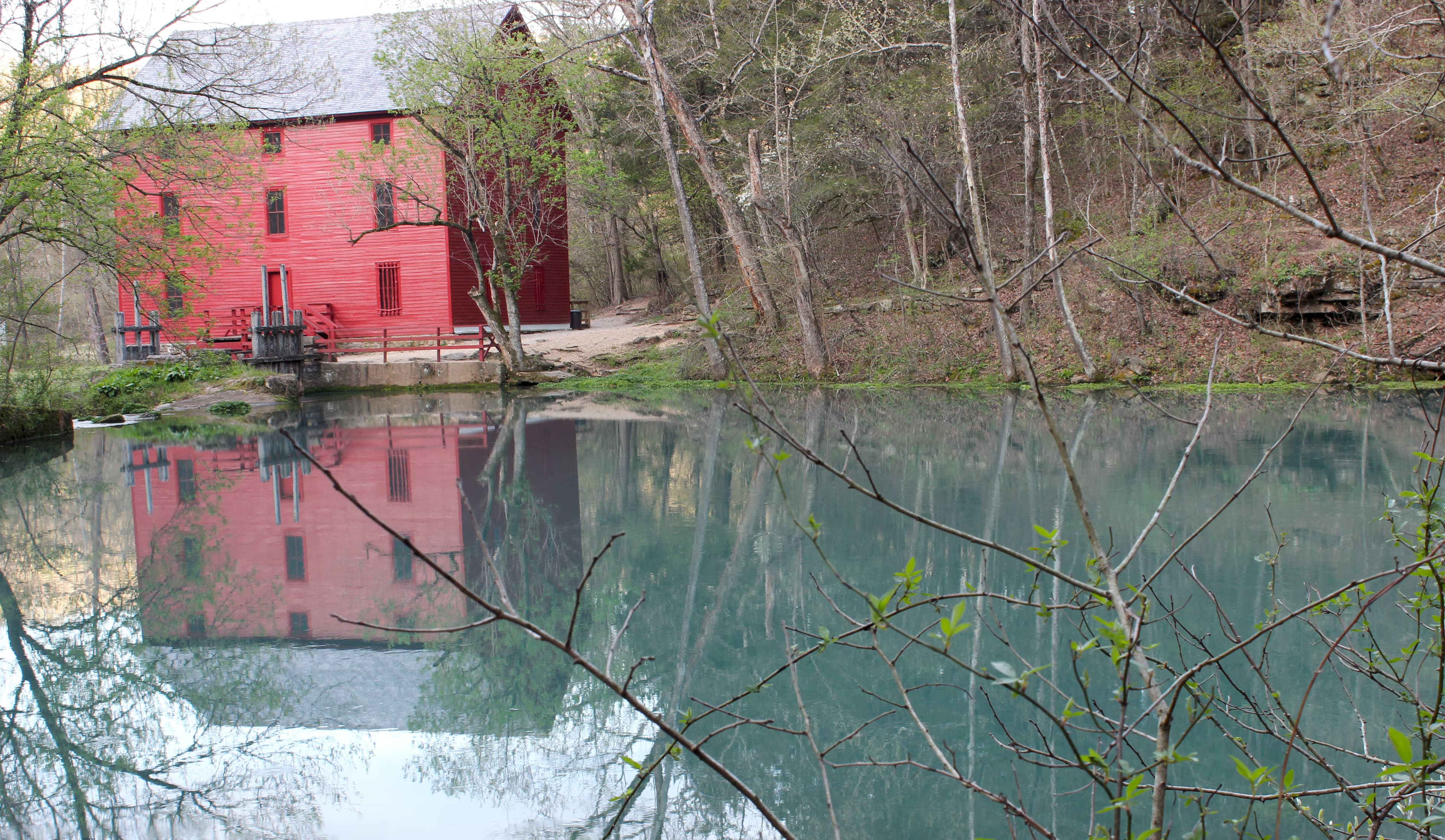
Ozark National Scenic Riverways is the first national park area to protect a river system. The Current and Jacks Fork rivers are two of the finest floating rivers found anywhere. Spring-fed, cold and clear: they are a delight to canoe, swim, boat, or fish. Besides these two famous rivers, the park is home to hundreds of freshwater springs, caves, trails, and historic sites such as Alley Mill.
Activities
Topics
No entrance fee.
Hours & seasons
Generally, the park grounds are open 24-hours a day throughout the year. Some visitor centers will have different hours depending on season and staff availability. Likewise, certain roads, trails, or river access points may be seasonally closed.
Generally open:
winterspringsummerfallHours are reported by the park — verify before you go.
📞 (573) 323-4236
✉ ozar_interpretation@nps.govConditions
Quietest months (fewer crowds): Jan, Feb, Mar, Dec
Typical crowds: moderate
Weather now: ⛅ Partly cloudy, 96°F
☁️ 97°/68°
🌦️ 88°/72°
🌦️ 79°/60°
Typical monthly recreation visits · NPS avg 2023–2025 — orange months are the quietest by crowds.
Quietest months
Relative crowds by month — lighter is quieter; ringed months are the calmest by crowds.
Jan
6%
Feb
7%
Mar
16%
Apr
24%
May
32%
Jun
77%
Jul
100%
Aug
85%
Sep
55%
Oct
30%
Nov
19%
Dec
10%
Log a sky reading
Measured the sky with an SQM meter or app? Add your reading (16 = city glow … 22 = pristine). Opt in under “Travelers like you” to share it on the community leaderboard.
Things to do
Round Spring Guided Cave Tour · 4 mi · <p>Cave tours typically last between 60 to 90 minutes. Tours may be shorter if the group moves quickly, while more questions/discussion can add to the time.</p>
🟢 Fly Fishing Clinics · <p>The event will run from 8:30 am to 4:30 pm, local time.</p>
See the Wild Horses
Round Spring Loop Trail · 3 mi
Refresh at Big Spring
Paws in the Park
A Detective in Nature
Picture This
Campgrounds
Akers Group Campground ↗ · 4 sites
Alley Spring Campground ↗ · 146 sites · hookups · dump station
Bachers Campground ↗ · 1 sites
Bay Creek Campground ↗ · 11 sites
Big Spring Campground ↗ · 123 sites · hookups · dump station
Big Tree Campground ↗ · 7 sites
Blue Spring Campground ↗ · 7 sites
Broadfoot Campground ↗ · 4 sites
Cedar Grove Campground ↗ · 6 sites
Cedar Spring Campground ↗ · 2 sites
Clubhouse Campground ↗ · 5 sites
Dee Murray Campground ↗ · 5 sites
Gooseneck Campground ↗ · 7 sites
Grubb Hollow Campground ↗ · 5 sites
Jerktail Campground ↗ · 3 sites
Log Yard Campground ↗ · 6 sites
Powder Mill Campground ↗ · 8 sites
Pulltite Campground ↗ · 55 sites
Round Spring Campground ↗ · 55 sites · hookups · dump station
Rymers Campground ↗ · 4 sites
Shawnee Creek Campground ↗ · 6 sites
Sinking Creek Campground ↗ · 8 sites
Two Rivers Campground ↗ · 22 sites
Visitor centers
Alley General Store
Alley Mill
Big Spring Entrance Station
Pulltite Ranger Station
Round Spring Ranger Station
Accessibility
20 accessible campground(s)
13 audio-described place(s)
Reported by the park — verify before you go.
Not an official safety source — always defer to NPS.gov and rangers for life-safety decisions.
By the numbers
A visual read on Ozark National Scenic Riverways — its character, trails, sky, and weather.
Park fingerprint
How this park scores across the dimensions travelers care about.
Trail difficulty
Difficulty mix across this park's trails.
3-day forecast
Daily high and low temperatures (°F).
Passport stamps
Mark the stamps you've collected — they show in your memory and along your routes.
🎫 Alley Mill
🎫 Big Spring Entrance Station
🎫 Headquarters Visitor Information Center
🎫 Pulltite Ranger Station
🎫 Round Spring Ranger Station
🎫 Round Spring Visitor Center and Cave
Places to see
Alley Spring and Mill
audio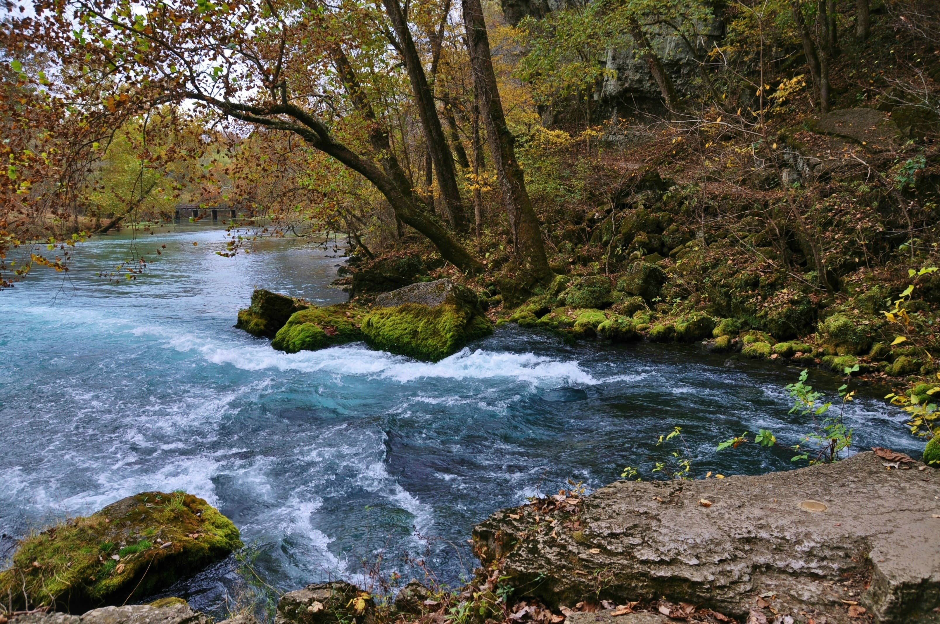
Big Spring
audio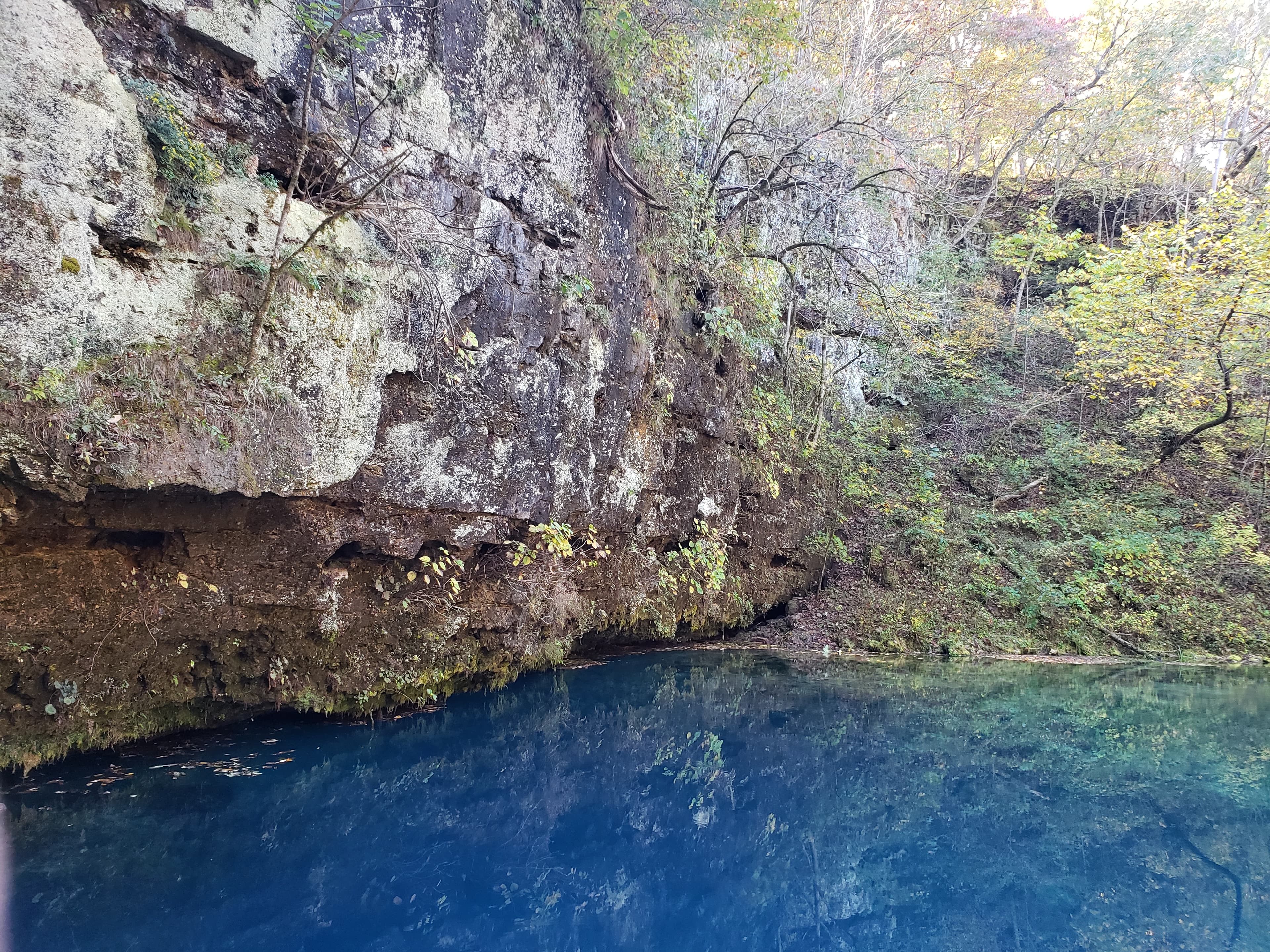
Blue Spring-Current River
audio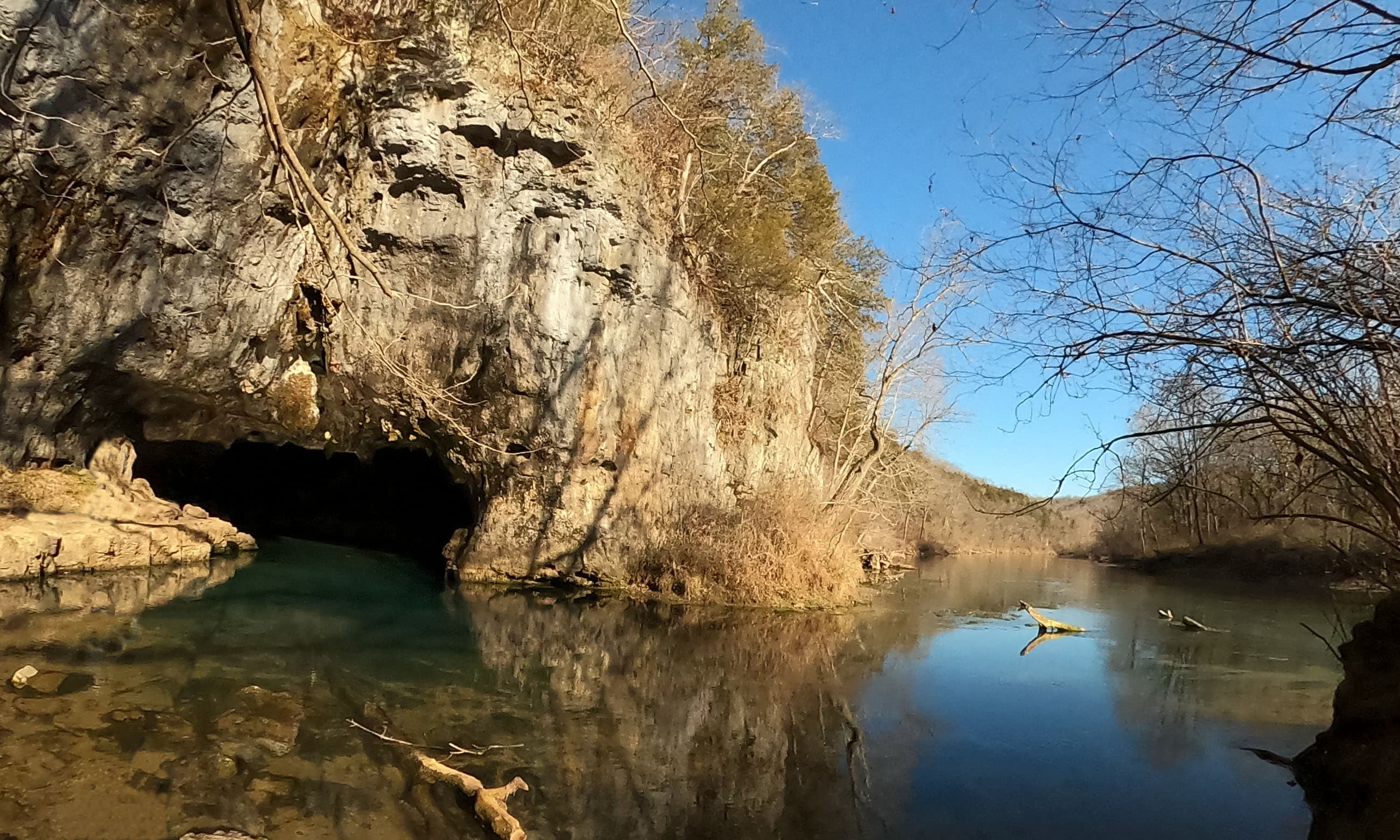
Cave Spring
audio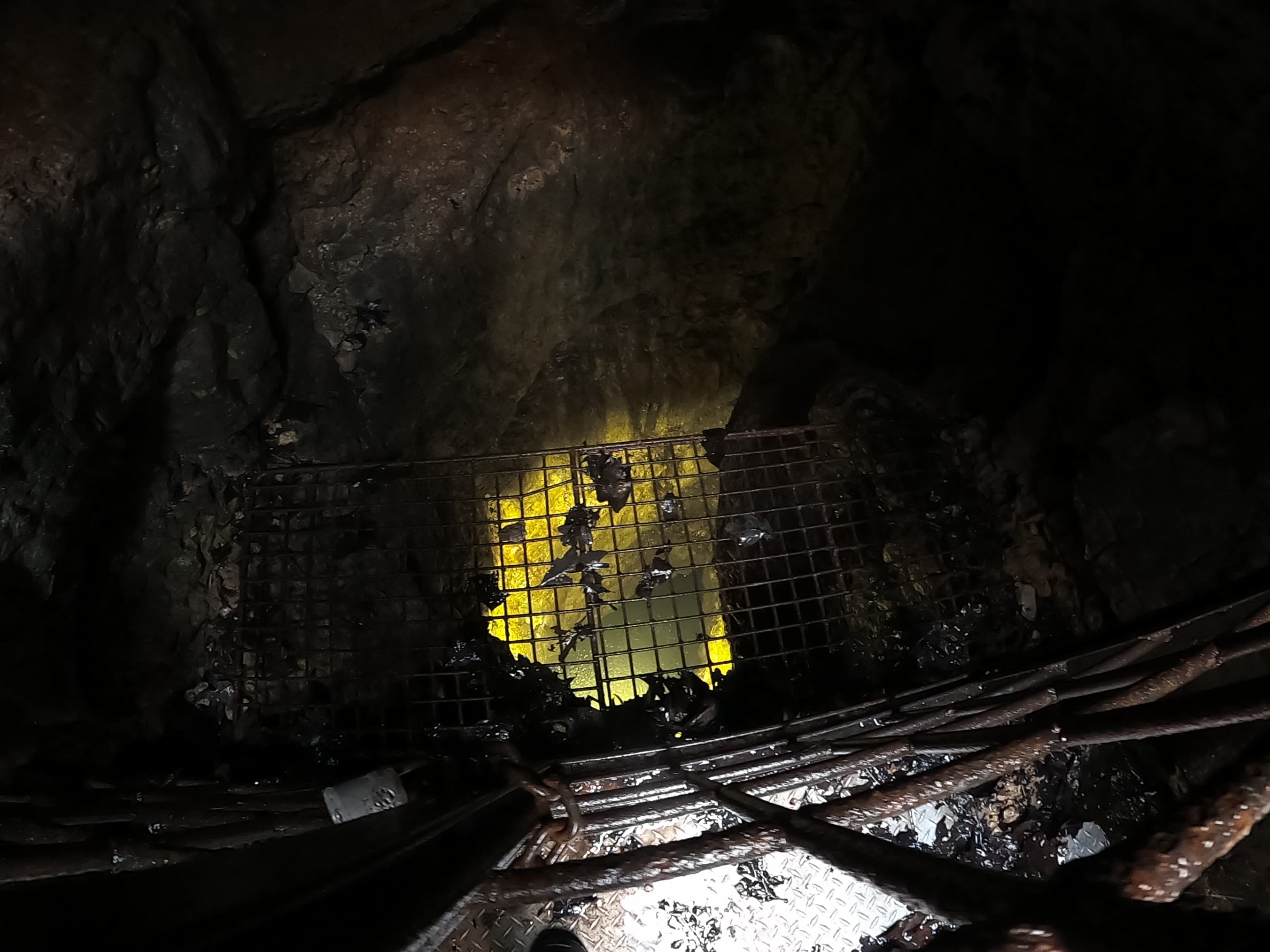
Devils Well
audio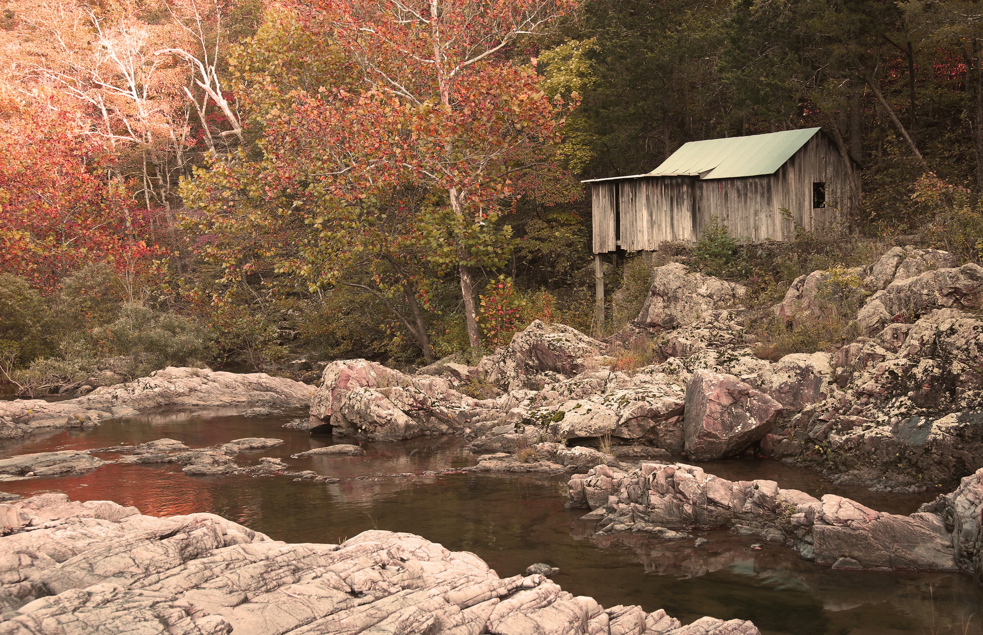
Klepzig Mill
audio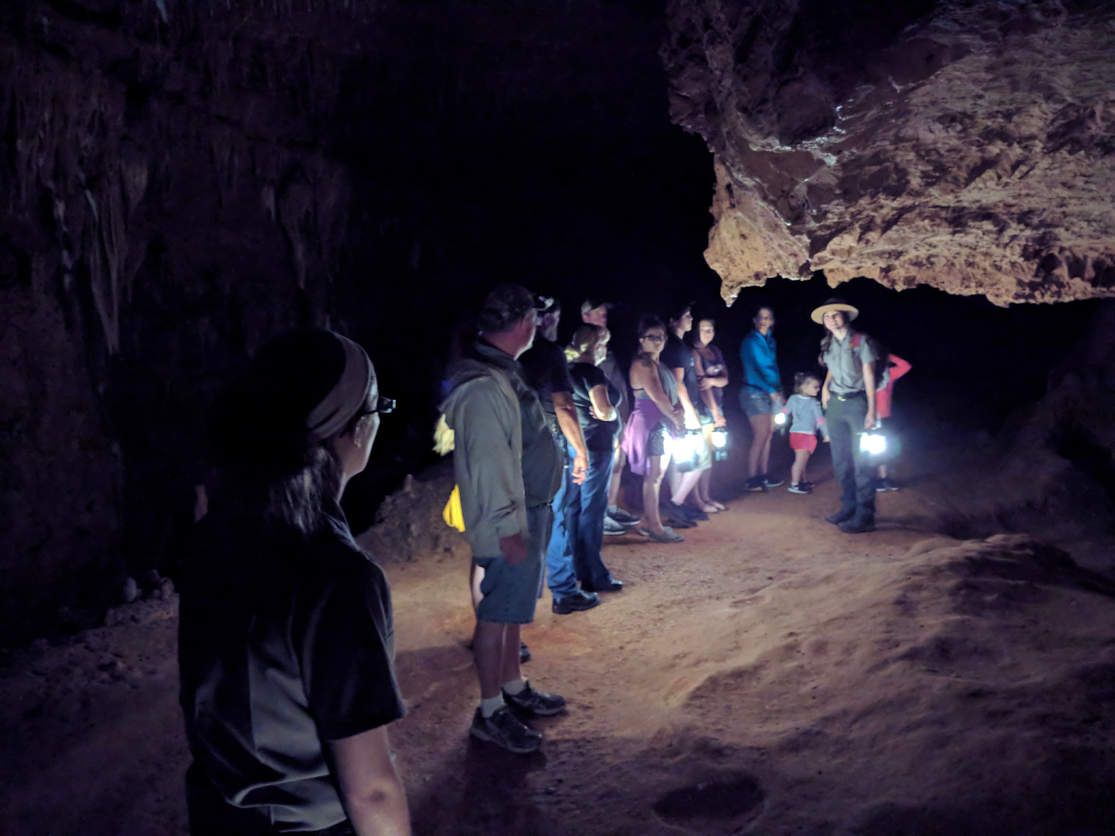
Park Videos
audio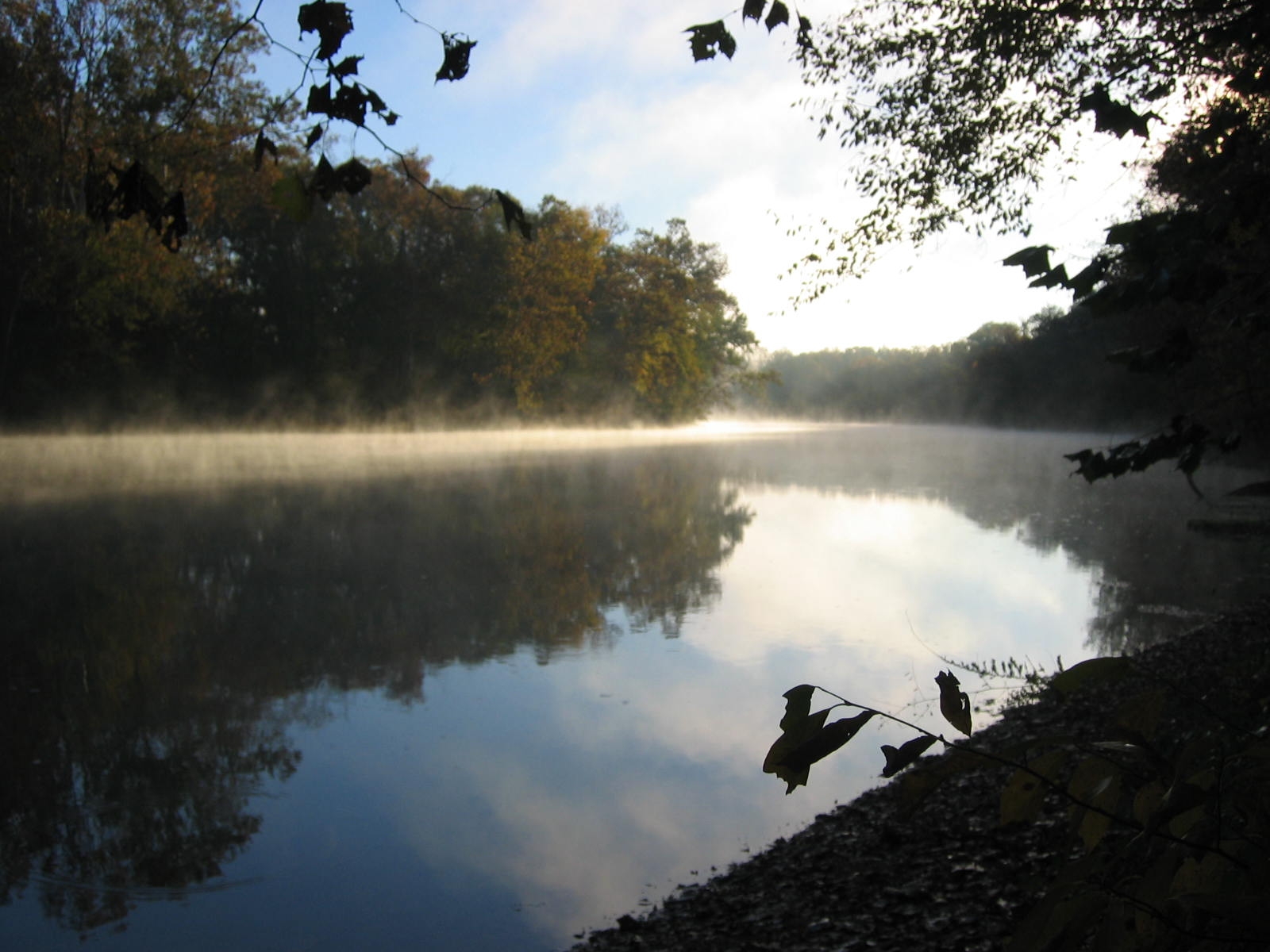
River Levels
audio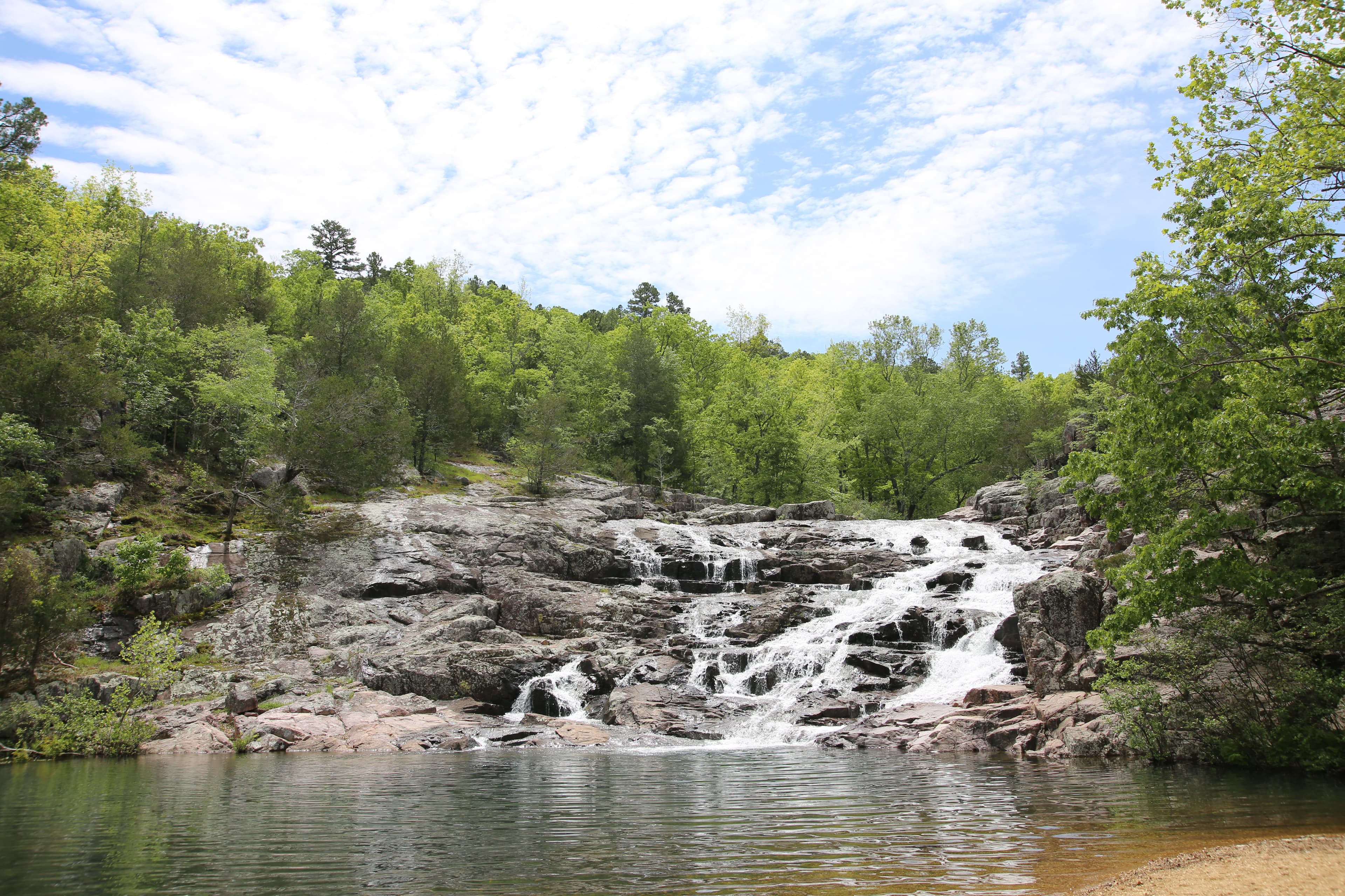
Rocky Falls
audio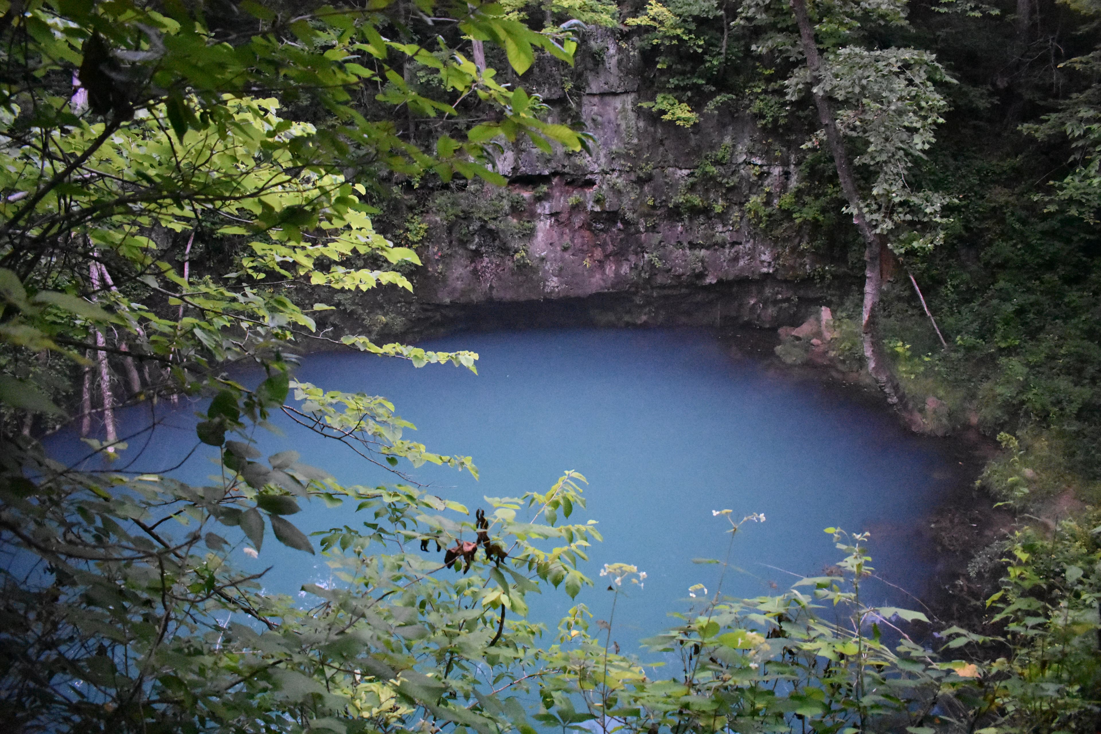
Round Spring
audio
Superintendent's Compendium
audio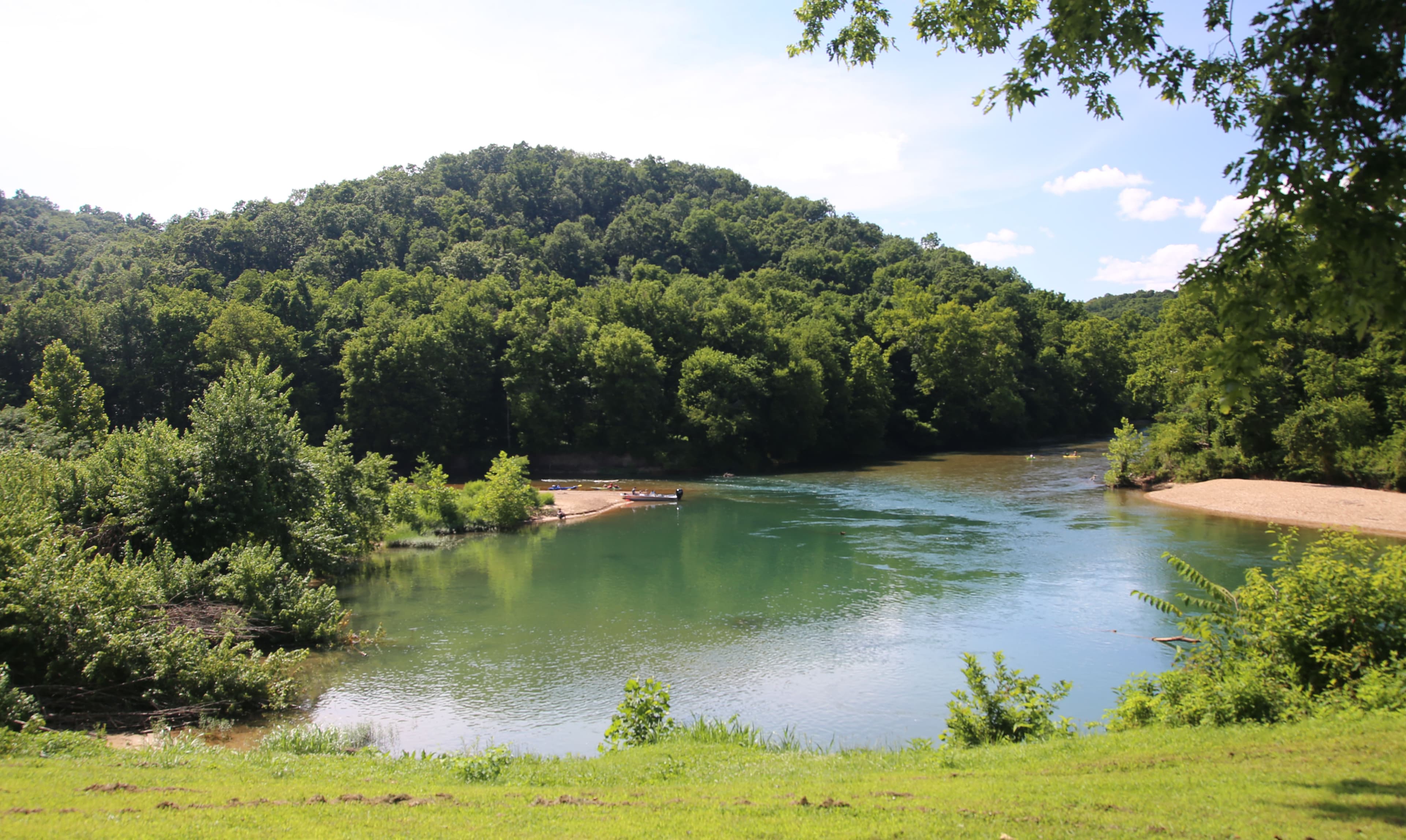
The Junction-Two Rivers
audioAudio & media
🎧
🎬
🖼
Learn more
Meet the recipients of the 2026 Director's Safety, Health, and Wellness Achievement Awards, the highest awards bestowed by the National Park Service for outstanding visitor safety and employee safety and health achievements.
50 years as a National Park Service concessioner; a lifetime commitment to the Riverways
Ozark National Scenic Riverways is a magical place where more than 425 springs flow from the ground. The largest, Big Spring, gushes enough water to fill an Olympic-sized swimming pool in about two minutes.
It's about to begin! What parks will the monarchs amazing journey take them?
Bat surveys this past winter showed declines in three bat species from White-Nose Syndrome while two endangered bats showed stable numbers. New faunal records were added as well as a biological survey of several caves were completed. Flooding in April damaged numerous buildings.
Find out why this cave system won a national award in Ozark National Scenic Riverways!
The Big Spring Historic District is the site of the former Big Spring State Park, which was established in 1924 and developed by the Civilian Conservation Corps from 1933 to 1937. It is an outstanding example of Rustic style architecture and Naturalistic style landscape architecture, It contains trails and roads, a quarry, ruins of a CCC camp, and fire tower. and the landscape features reflect the circumstances of an operational CCC Camp and functioning state park.
Enjoy a fun activity and learn about caves even when you can't get out to a park. In this activity you will build your own cave and learn how to make it like a "real" natural cave. Find out about cave formations and wildlife, and how to be safe and care for caves. New "Blanket Cave National Youth Parks" are springing up all across America! Join the fun!
How Ozark National Scenic Riverways connects
This park's activities, topics, location, and on-the-ground places — one hop in the graph. Drag to explore; click an activity, topic, or related park to follow it.
Park
Activity
Topic
State
Campground
VisitorCenter
PassportStamp
Trail
ThingToDo
Alert
Similar parks
Share activities & topics with Ozark National Scenic Riverways.