Glen Canyon National Recreation Area
Utah, Arizona
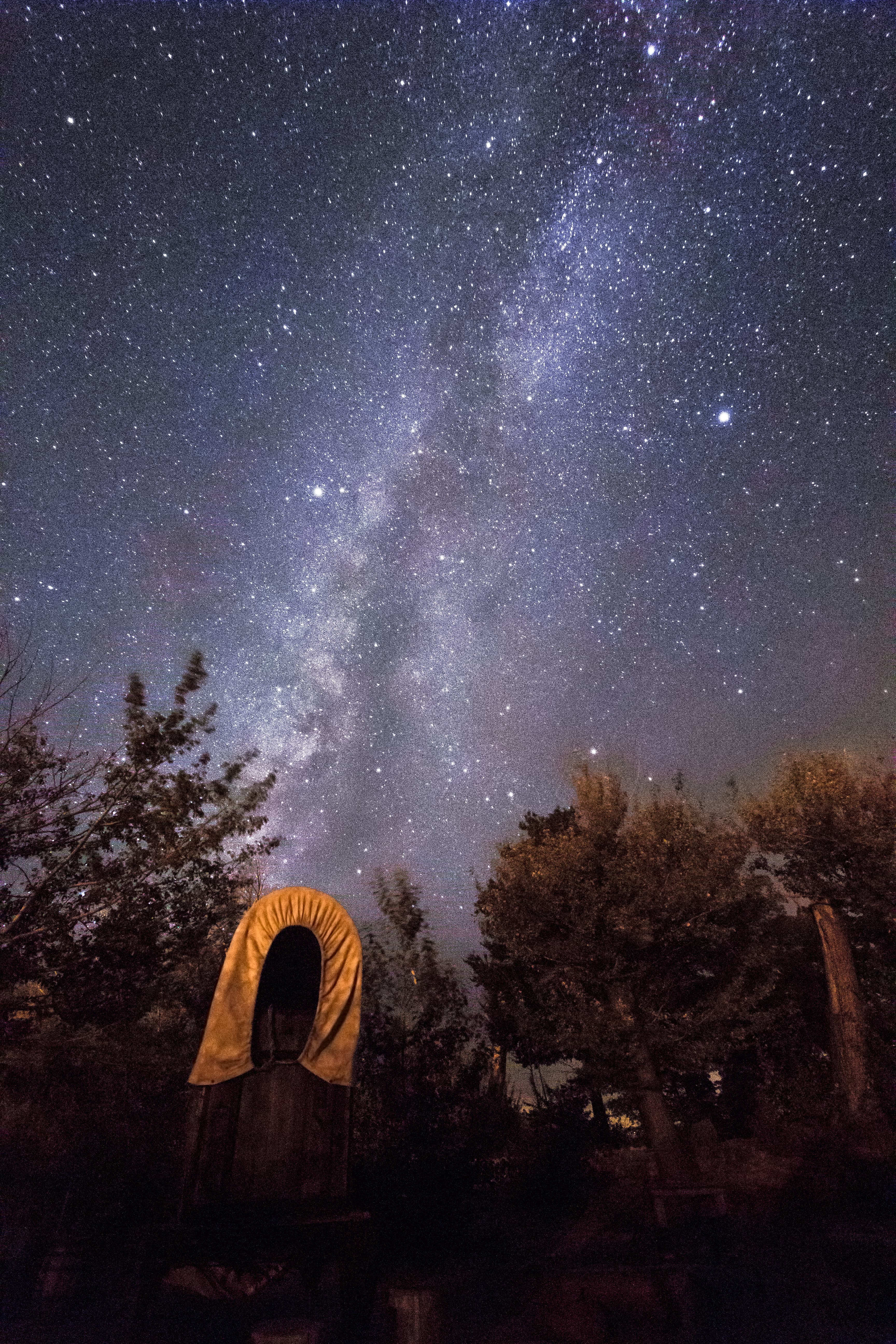
Tonight
🌓 65% moon
8.9 h fully dark
Hikes
Easy–Strenuous
🟢 🔴
Crowds
very high
Open today
Open
Entrance
$30
Lake Powell Recreational Water Advisory
Any time that you do recreational activities (swimming, water skiing, making sand castles, etc.) on the beaches or in the waters of Lake Powell you are strongly encouraged to follow basic hygiene practices. A number of conditions can cause potential water quality issues on Lake Powell, at Lees Ferry, and on Colorado River tributaries.
Official NPS alert →Launch Ramp Updates
Lake level changes will influence the functionality of all launch ramps. Find updated status of all launch ramps at the link.
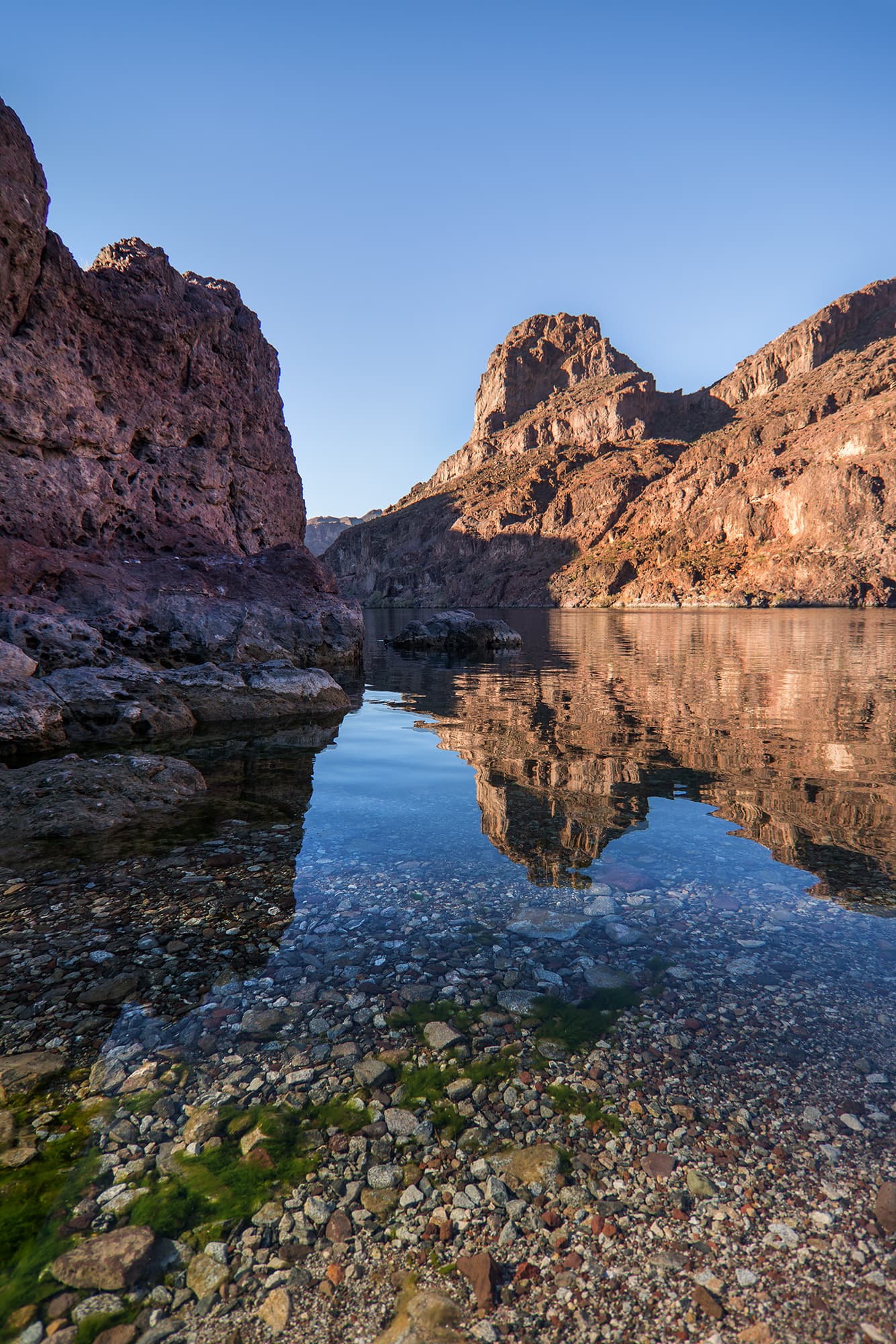
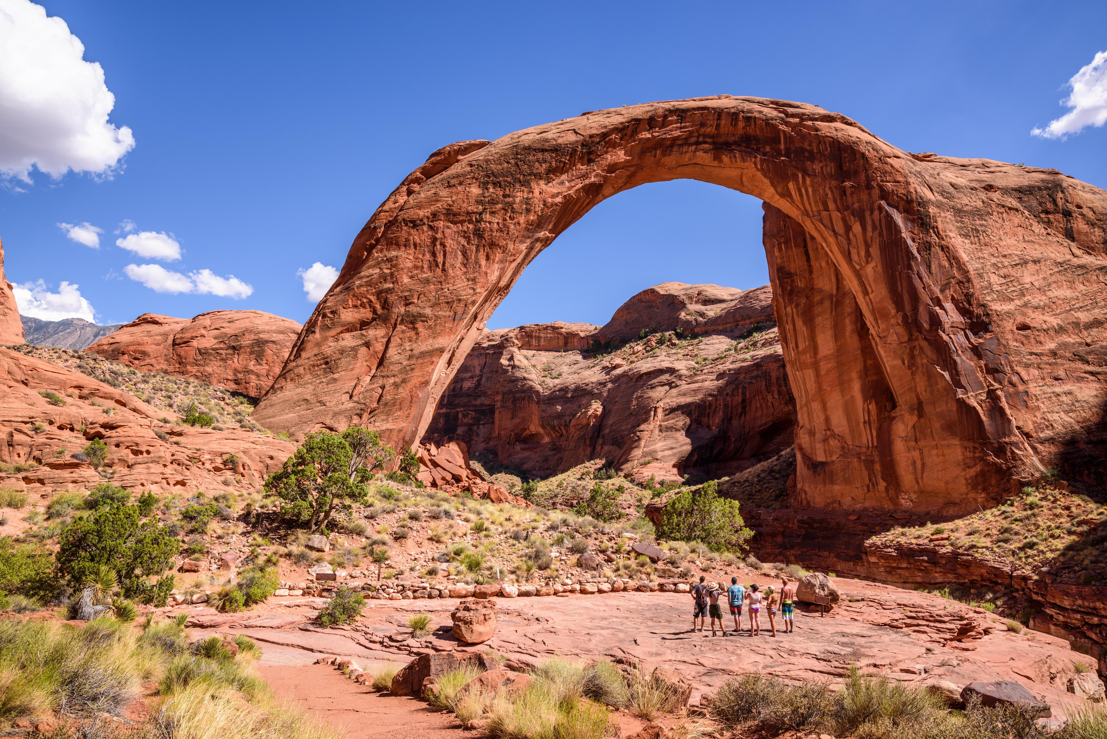
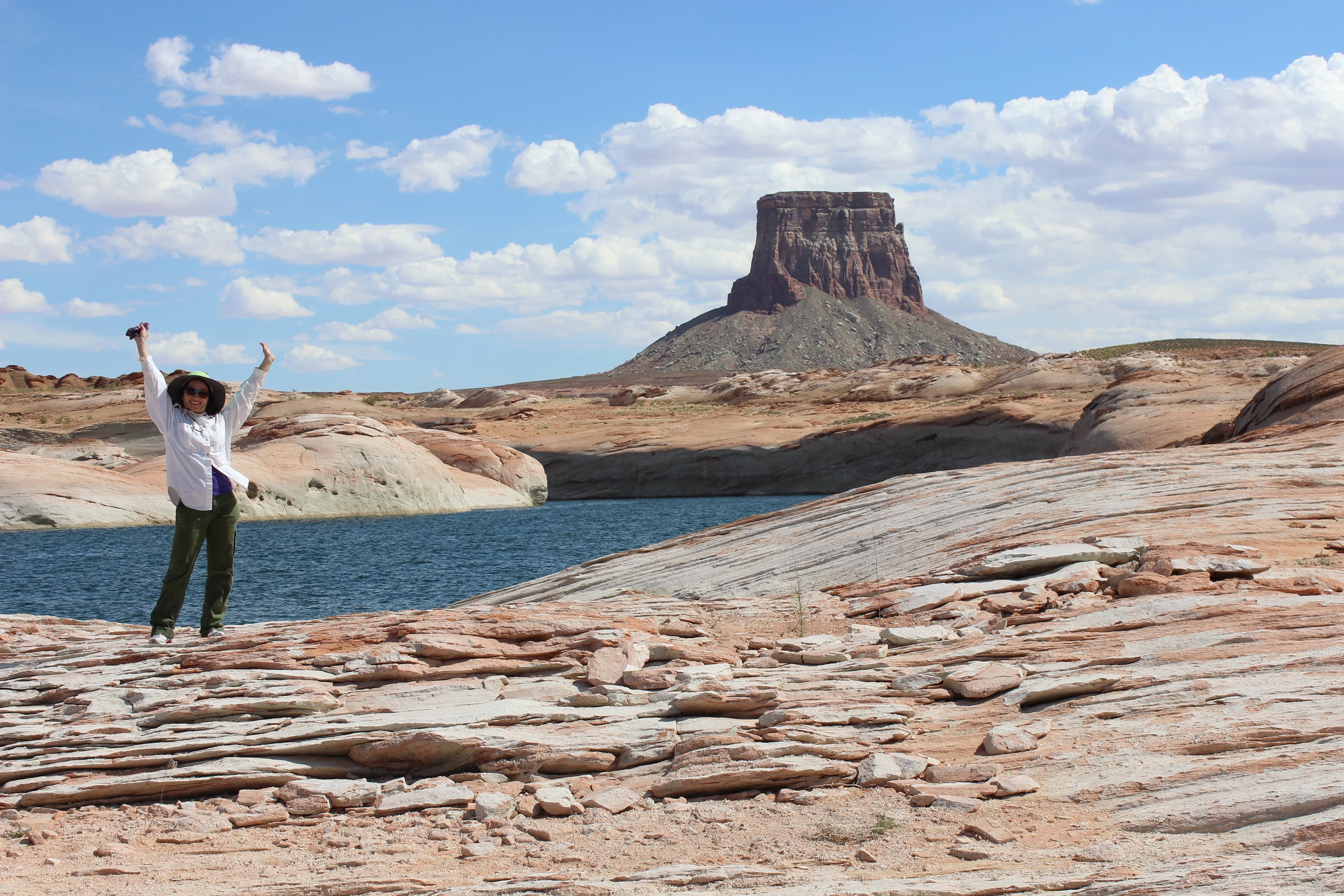
Official NPS alert →Encompassing over 1.25 million acres, Glen Canyon National Recreation Area offers unparalleled opportunities for water-based & backcountry recreation. The recreation area stretches for hundreds of miles from Lees Ferry in Arizona to the Orange Cliffs of southern Utah, encompassing scenic vistas, geologic wonders, and a vast panorama of human history.
Topics
Entrance fees
$30.00 — Entrance - Private Vehicle
$25.00 — Entrance - Motorcycle
$15.00 — Entrance - Per Person
$40.00 — Commercial Entrance - Van
$40.00 — Commercial Entrance - Mini-bus
$100.00 — Commercial Entrance - Motor Coach
$0.00 — Entrance - Education/Academic Groups
Hours & seasons
Glen Canyon National Recreation Area is open 24 hours per day, year-round. If there is not a person staffing the entrance station, you may pay your entrance fee at the automated fee machine. Launch ramps are open all day, unless closed due to low water.
Generally open:
winterspringsummerfallHours are reported by the park — verify before you go.
📞 9286086200
✉ glca_information@nps.govConditions
Quietest months (fewer crowds): Jan, Feb, Nov, Dec
Typical crowds: very high
Weather now: ☀️ Clear, 83°F
☁️ 87°/60°
☁️ 89°/63°
☁️ 89°/66°
Typical monthly recreation visits · NPS avg 2023–2025 — orange months are the quietest by crowds.
Quietest months
Relative crowds by month — lighter is quieter; ringed months are the calmest by crowds.
Jan
18%
Feb
31%
Mar
63%
Apr
77%
May
82%
Jun
100%
Jul
92%
Aug
76%
Sep
64%
Oct
52%
Nov
32%
Dec
21%
Log a sky reading
Measured the sky with an SQM meter or app? Add your reading (16 = city glow … 22 = pristine). Opt in under “Travelers like you” to share it on the community leaderboard.
Live conditions
Things to do
🔴 Scramble down Cathedral Wash Trail · 3 mi · <p>This time does not account for breaks, sightseeing, or picnics along the river. </p>
From Your Boat To The Bridge · 1.5 mi · 10388 ft gain · <p>The length of this trail changes every day. As the water levels on Lake Powell rise and fall, the docks have to be moved so they will reach the shore.<br /> <br /> The amount of time it takes to enjoy this hikes depends on how you got here. If you joined a boat tour, you have to leave when your boat does.<br /> <br /> If you brought your own boat, you have to be gone by sundown. The trail is usually about a mile and a half one way, but does involve walking uphill, on some sandy and rocky areas, in extreme desert weather. You can choose when to turn around and go back to your boat.</p>
🟢 Driving the Burr Trail · 67 mi · 11615 ft gain · <p>It does take less than a day to just drive the length of the road, but there are places to stop, walk around, and camp to the night if you wish.</p>
Swimming in Lake Powell
Day Trip or Backpack Hike to Coyote Gulch · 3.5 mi · <p>From any given trailhead, Your hike may last two miles to two days. Prepare for the trailhead you will be using, and which route you will be taking.</p> <h4>Hiking Distances:</h4> <ul> <li> <p>From Red Well trailhead to the Escalante River - 13 miles (one way)</p> </li> <li> <p>Hurricane Wash trailhead to the Escalante River - 12.3 miles (one way)</p> </li> <li> <p>Fortymile Ridge: Water Tank to Coyote Gulch- 2 miles (one way)</p> </li> <li> <p>Fortymile Ridge: Crack in the Wall to Coyote Gulch– 2.5 miles (one way)</p> </li> </ul>
Off Road Vehicles in Glen Canyon
🟢 Driving to Alstrom Point · 46 mi · <p>It does take around four hours to just drive to Alstrom Point and back, but there are places to stop, walk around, and camp to the night if you wish.</p>
Contemplate Your Place in the Landscape At The Big Map · <p>Take a second glance, take an afternoon. Our friends welcome visitors to take their time (while the building is open) and see what they can find on the map.</p>
Campgrounds
Antelope Point RV Park ↗ · 104 sites · hookups · dump station
Beehives Primitive Campground ↗ · 21 sites · first-come
Bullfrog RV & Campground ↗ · 98 sites · first-come · hookups · dump station
Colorado River Primitive Camping Between Glen Canyon Dam and Lees Ferry · 5 sites · first-come
Dirty Devil Primitive Camping Area ↗
Farley Canyon Primitive Camping Area ↗
Halls Crossing RV & Campground ↗ · 72 sites · first-come · hookups · dump station
Lees Ferry Campground ↗ · 54 sites · first-come · dump station
Lone Rock Beach Primitive Camping Area ↗ · dump station
Stanton Creek Primitive Camping Area ↗
Wahweap Campground & RV Park ↗ · 266 sites · first-come · hookups · dump station
Visitor centers
Bullfrog Visitor Center
Carl Hayden Visitor Center
Escalante Interagency Visitor Center
Glen Canyon Conservancy Flagship
Halls Crossing Contact Station
Navajo Bridge Interpretive Center
Accessibility
5 accessible campground(s)
59 audio-described place(s)
Reported by the park — verify before you go.
Not an official safety source — always defer to NPS.gov and rangers for life-safety decisions.
By the numbers
A visual read on Glen Canyon National Recreation Area — its character, trails, sky, and weather.
Park fingerprint
How this park scores across the dimensions travelers care about.
Trail difficulty
Difficulty mix across this park's trails.
Trail profile
Each dot is a trail — distance vs. elevation gain, by difficulty.
3-day forecast
Daily high and low temperatures (°F).
Passport stamps
Mark the stamps you've collected — they show in your memory and along your routes.
🎫 Bullfrog Visitor Center
🎫 Carl Hayden Visitor Center
🎫 Escalante Interagency Visitor Center
🎫 Glen Canyon Conservancy Flagship
🎫 Navajo Bridge
🎫 Navajo Bridge Interpretive Center
Places to see
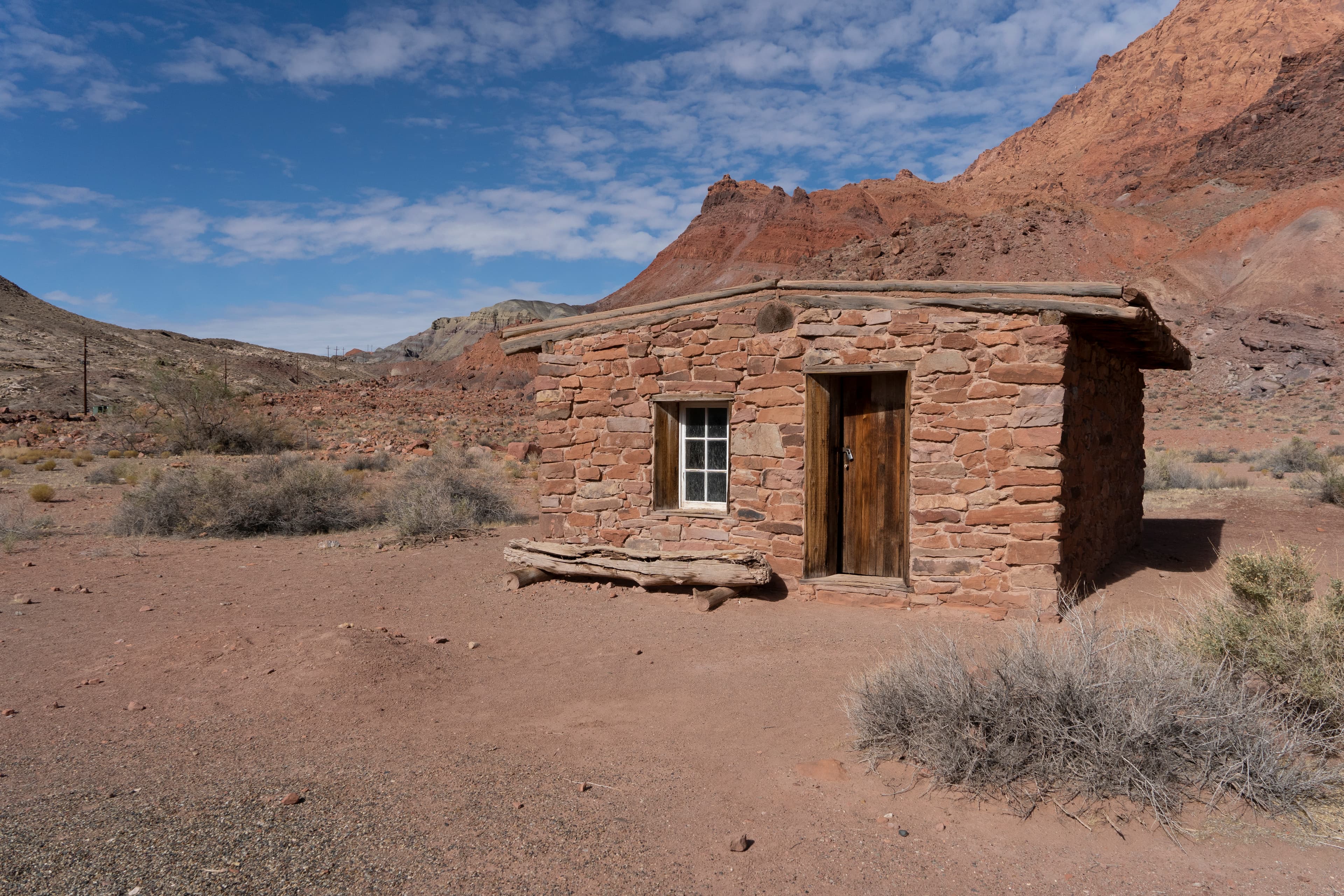
American Placer Corporation Office
audio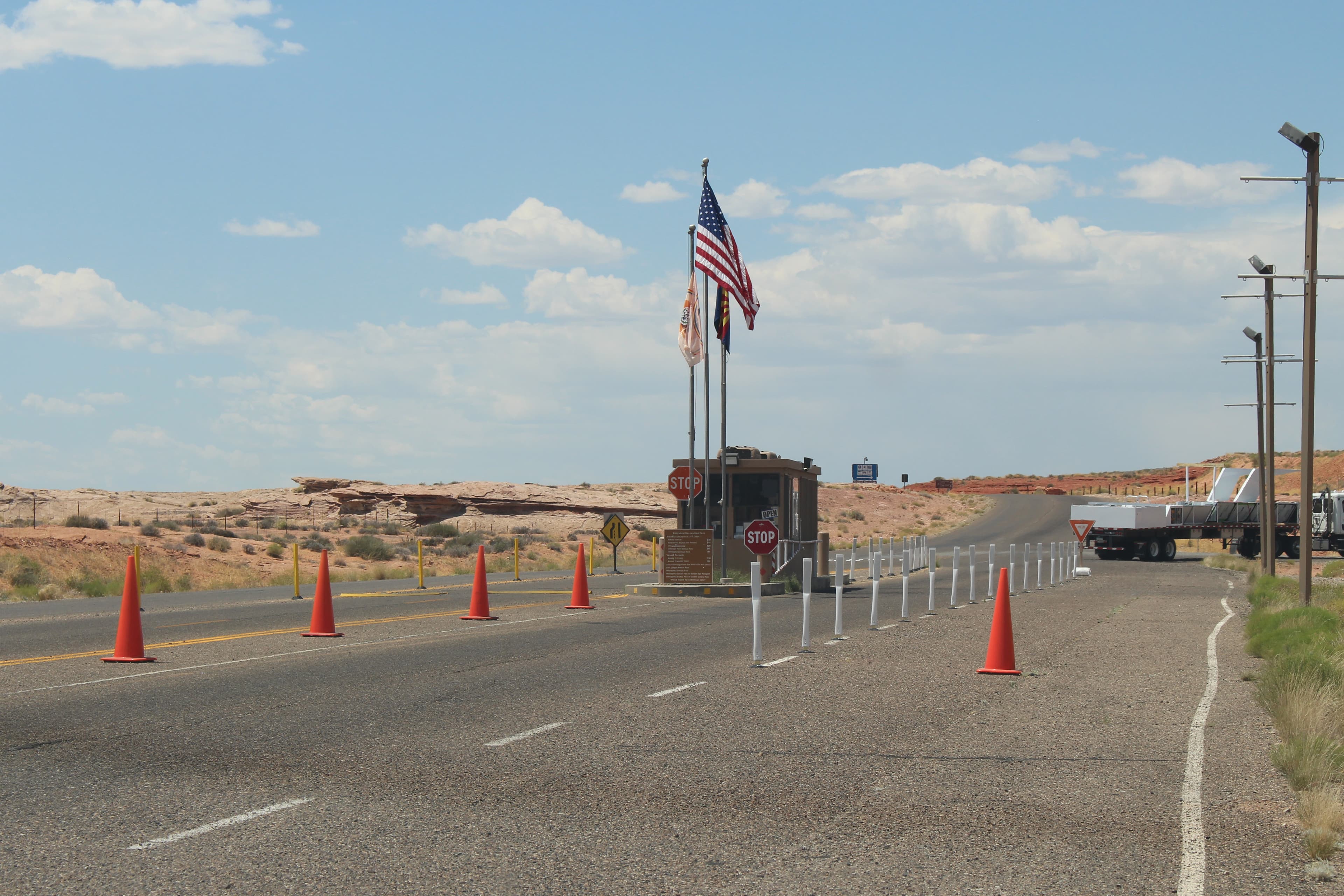
Antelope Point Entrance Station
audio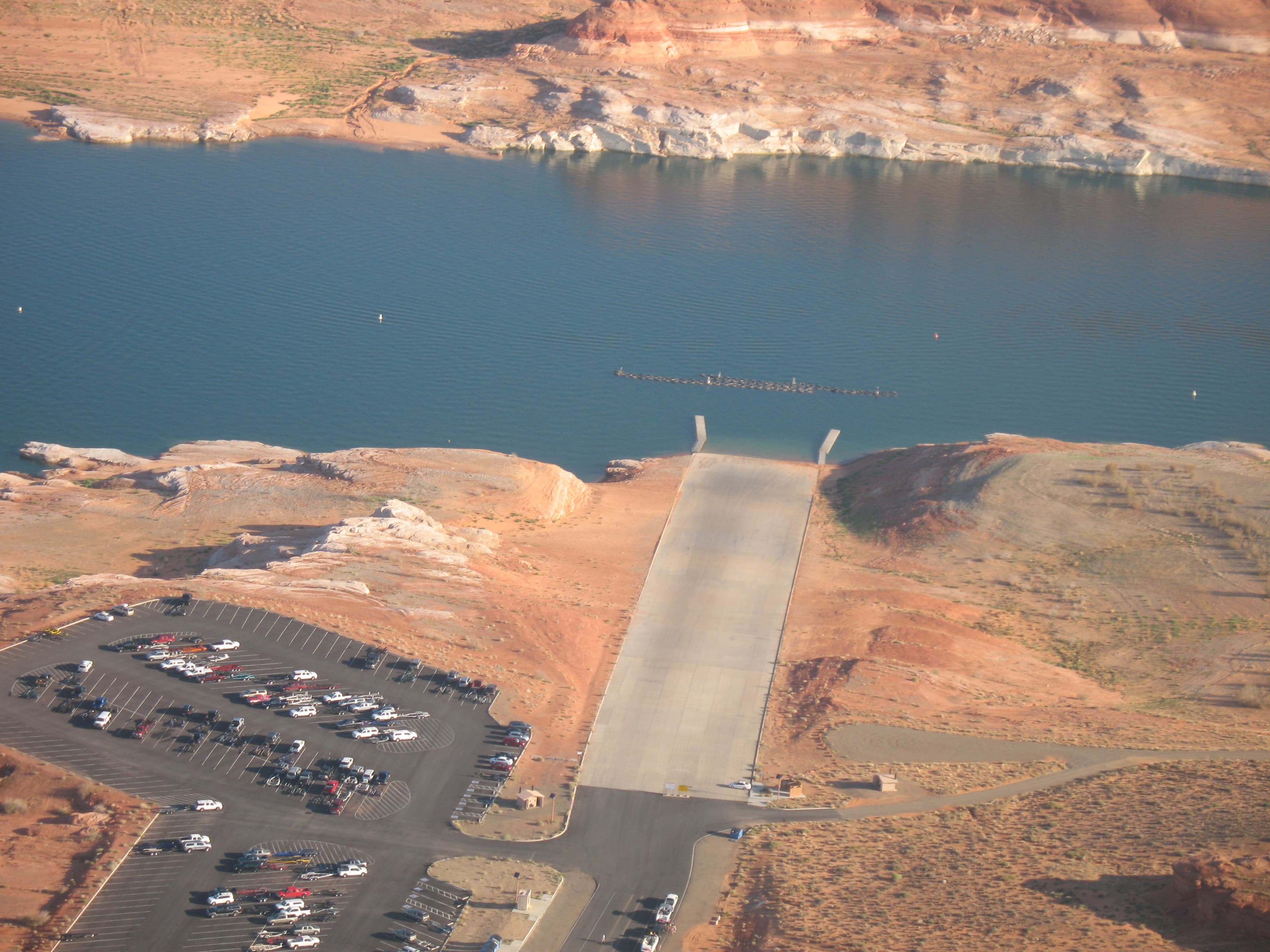
Antelope Point Public Launch Ramp
audio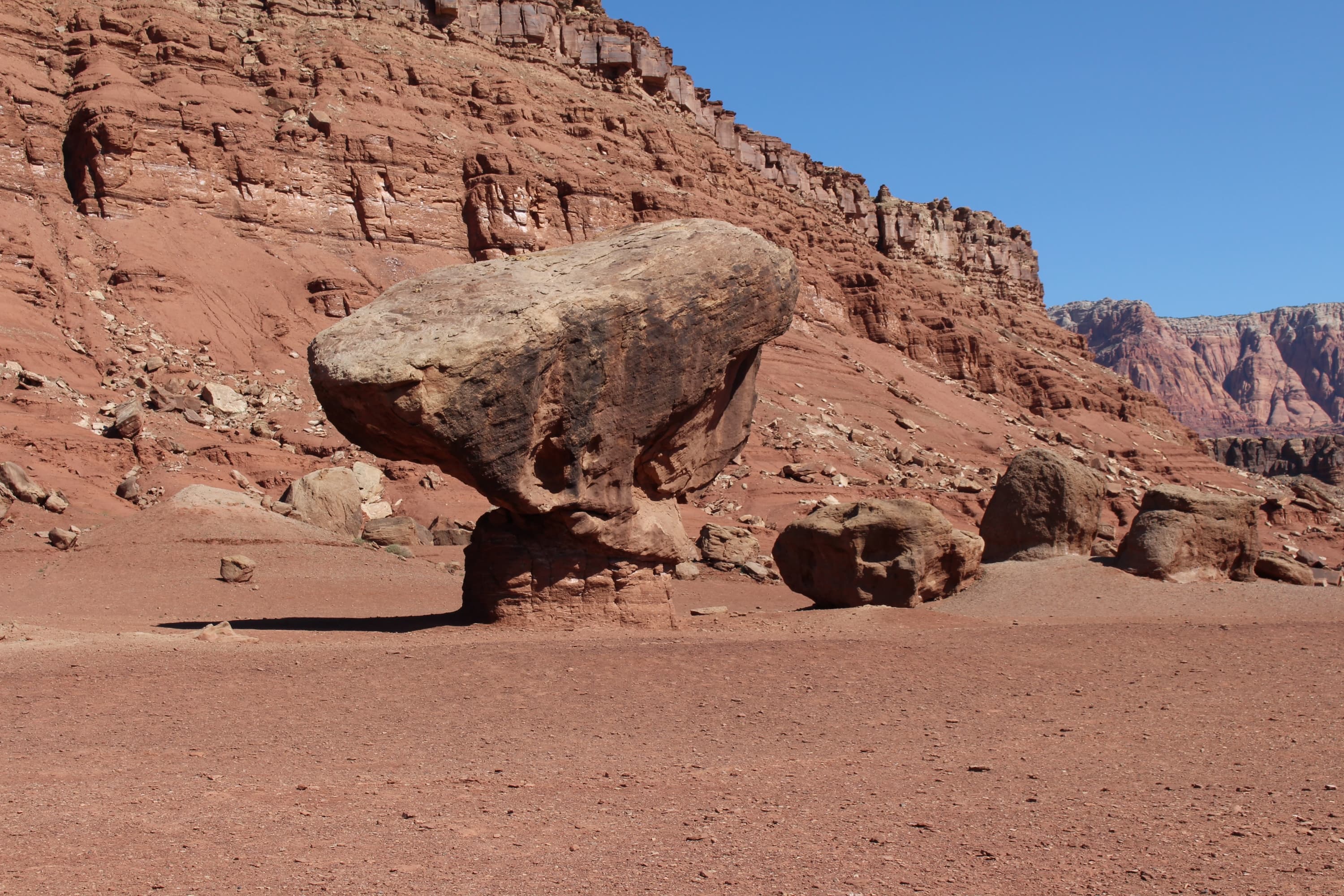
Balanced Rock at Lees Ferry
audio
Beehives Trailhead
audio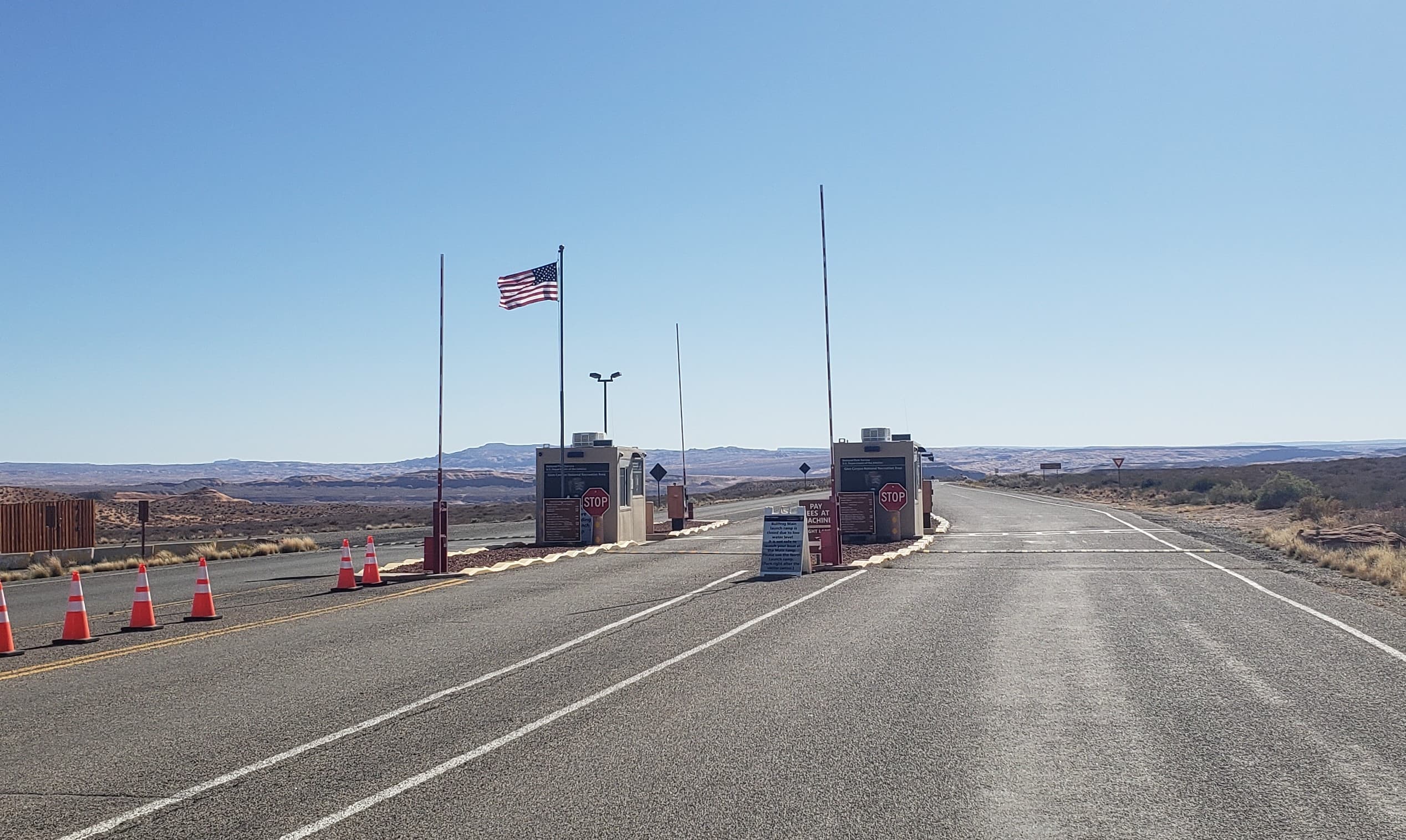
Bullfrog Entrance Station
audio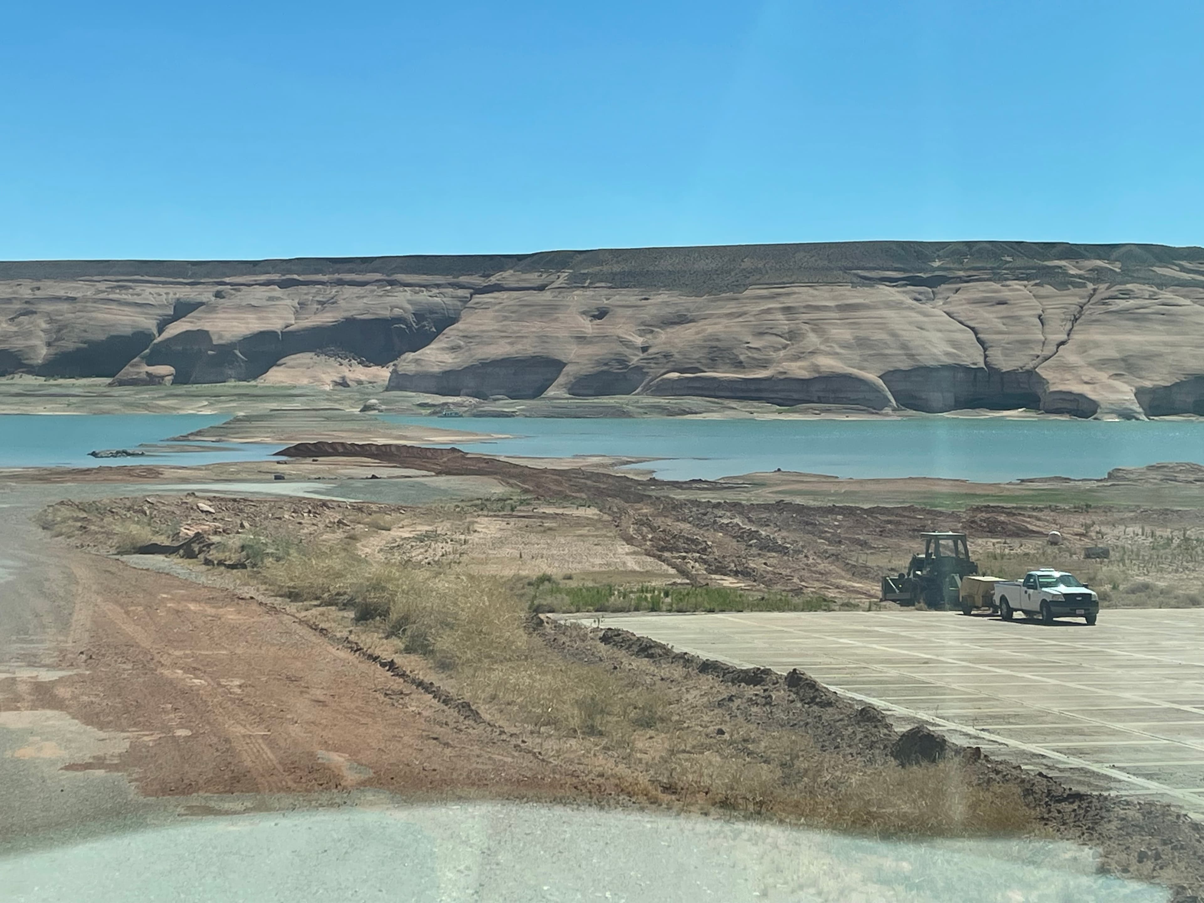
Bullfrog Main Launch Ramp
audio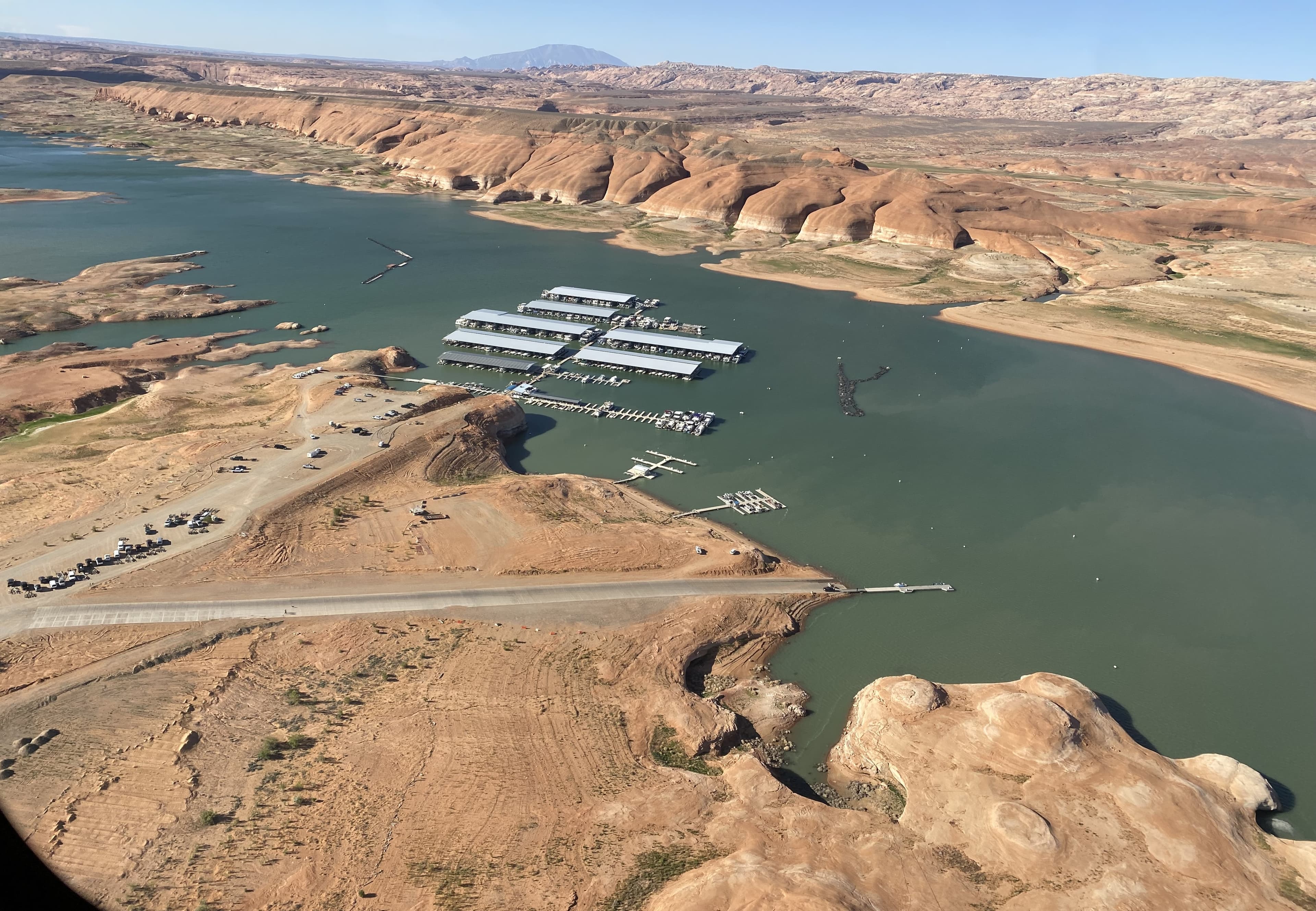
Bullfrog North Launch Ramp
audio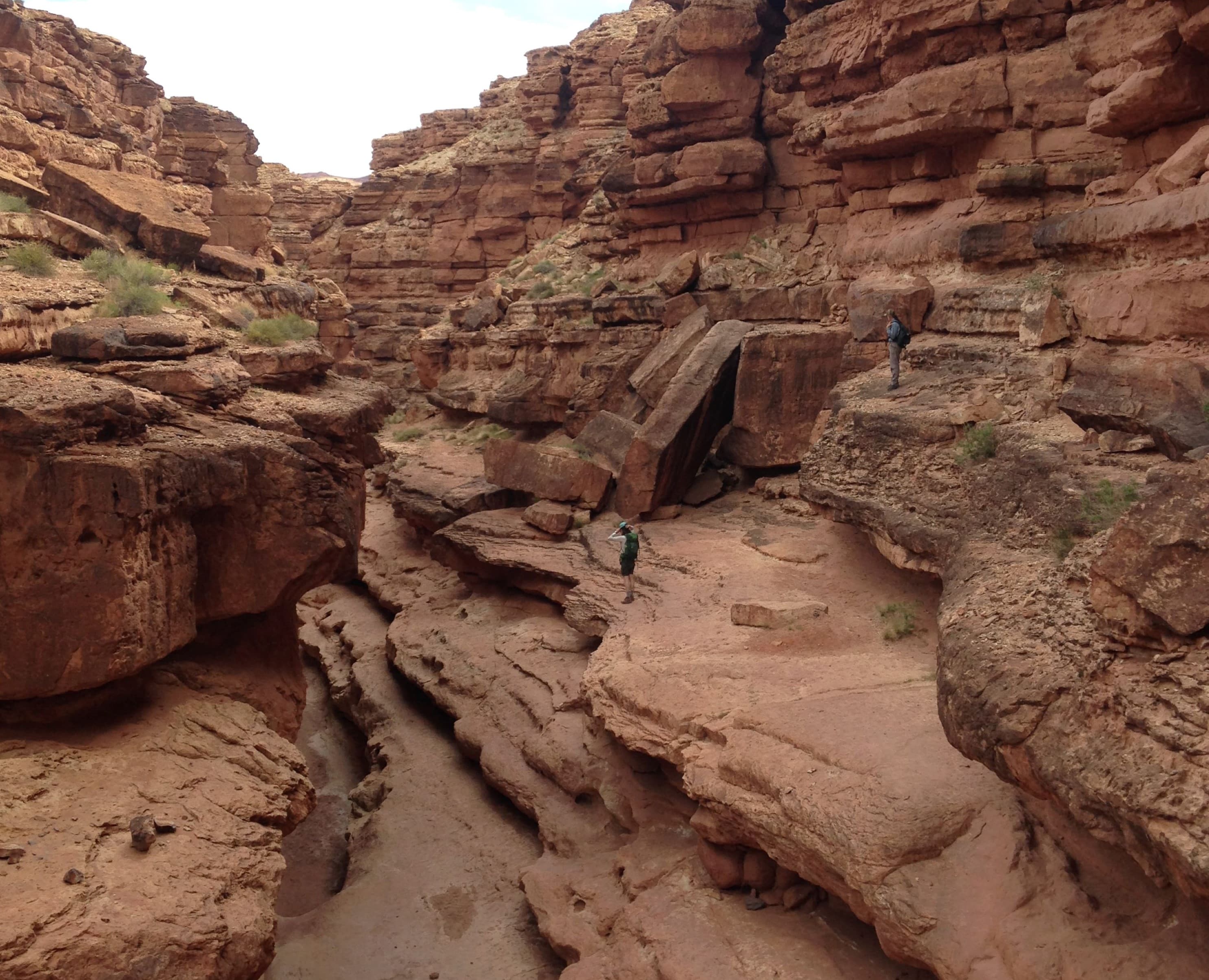
Cathedral Wash at Lees Ferry
audio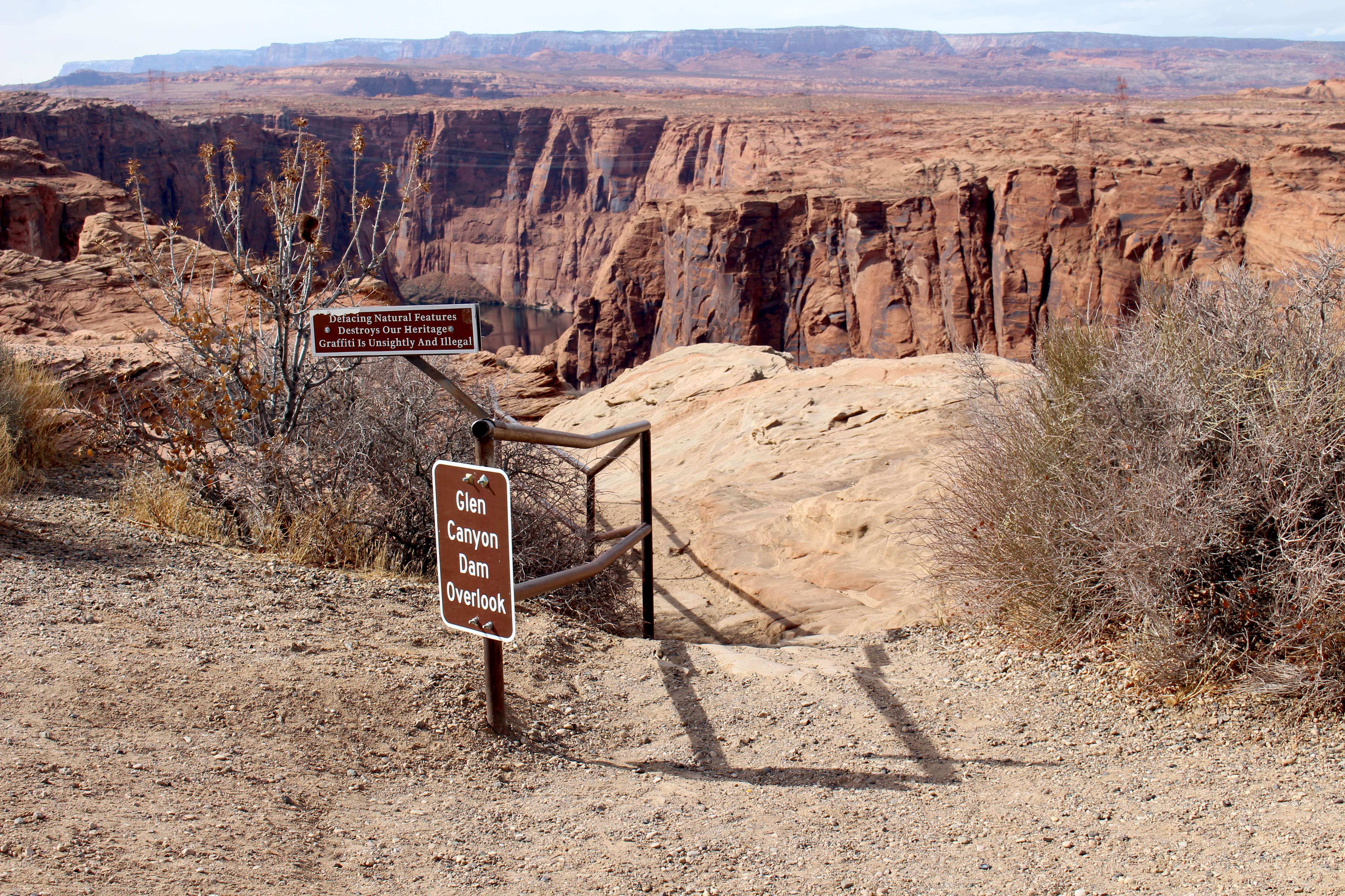
Dam Overlook Trailhead
audio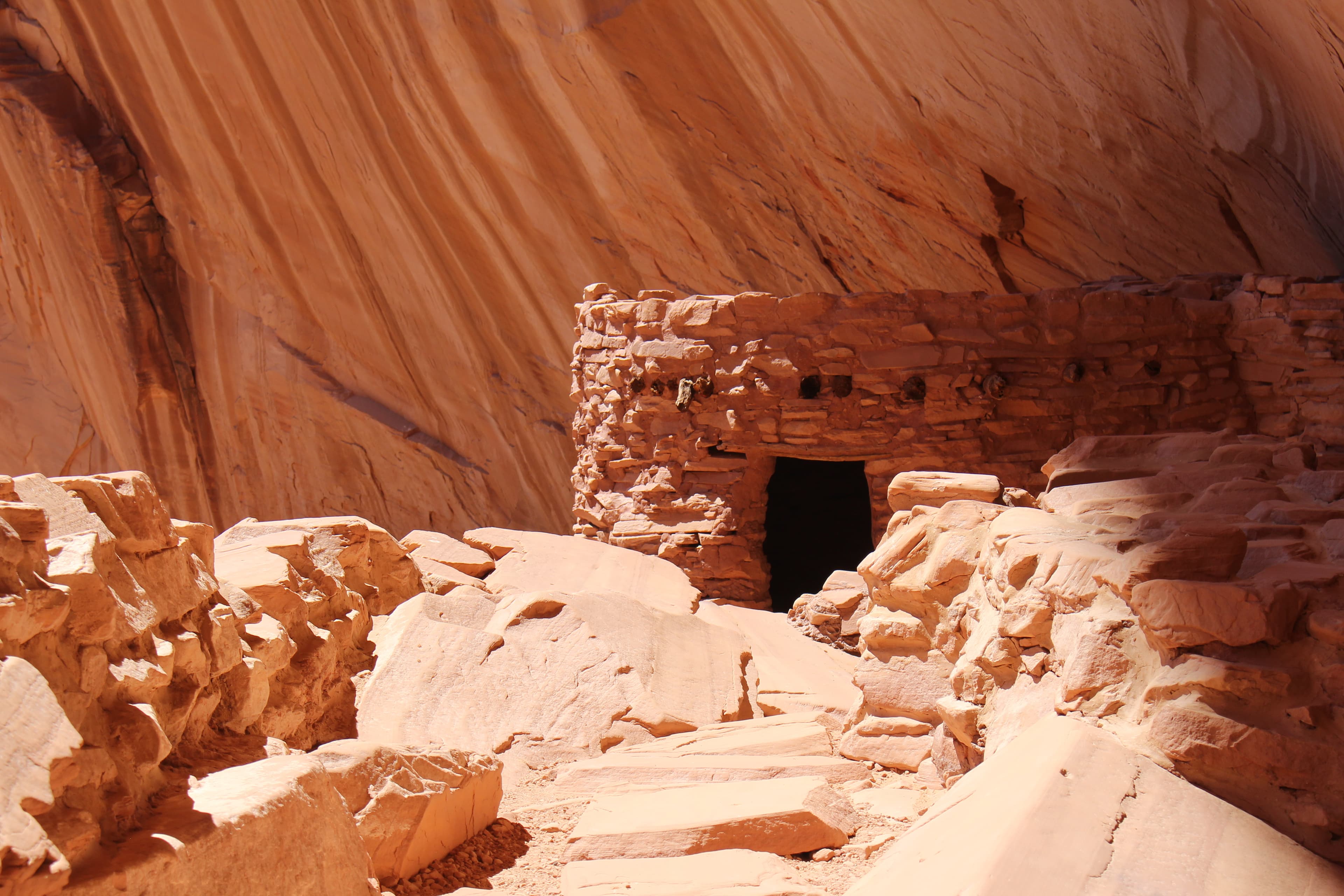
Defiance House Archeological Site
audio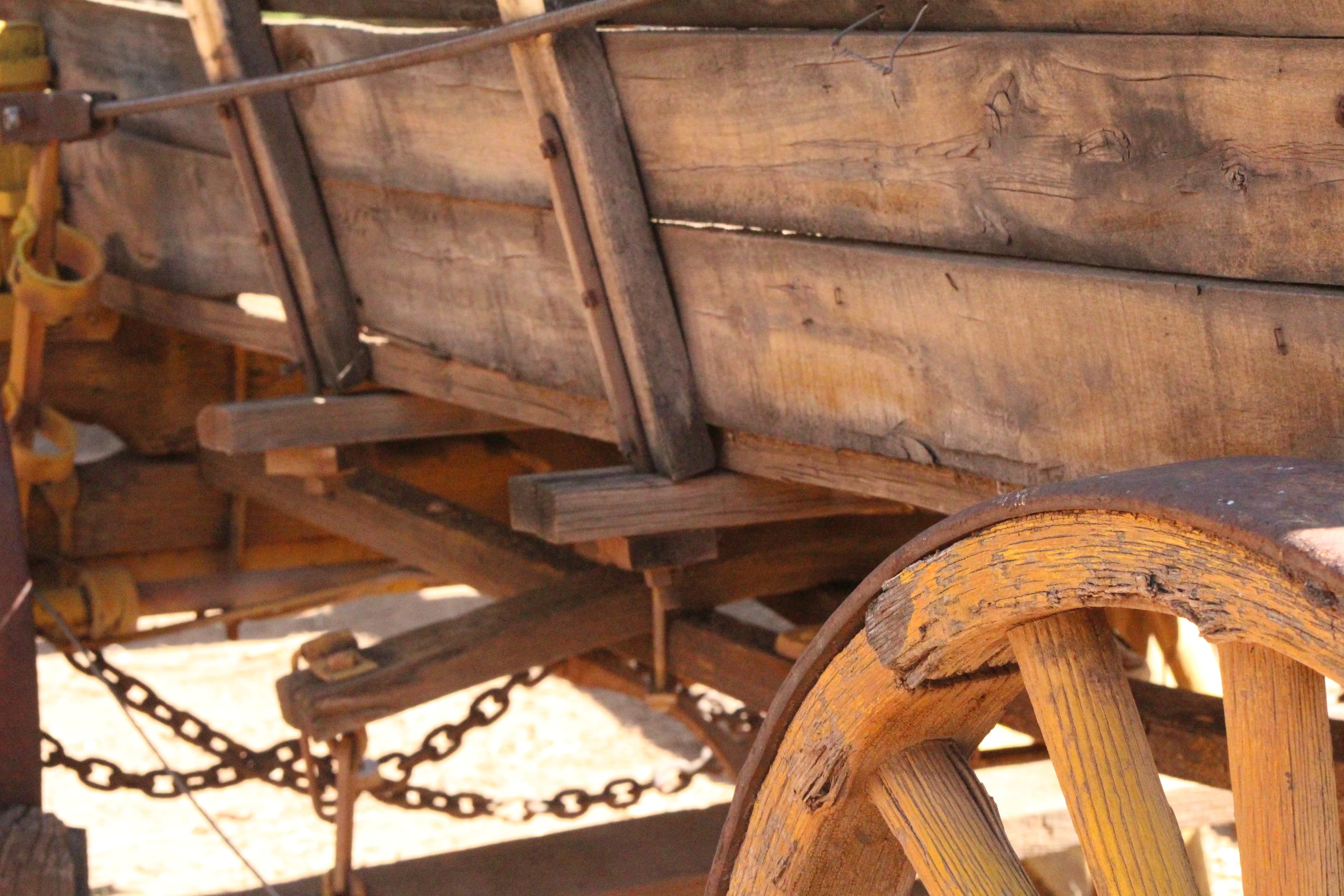
Founding Family
audioAudio & media
🎧
🎬
🖼
Learn more
In spring 2011, the SCPN-NAU School of Communication collaboration began with a multimedia studies course focused on documenting park resources and resource projects. The class was taught by NAU professors Laura Camden and Peter Friederici.
As we reflect on 2023, we offer you a list of 23 interesting and exciting science and nature events from parks of the national park system. From a dazzling “ring of fire” annular eclipse to celebrating conservation wins with the help of funding from the Bipartisan Infrastructure Law and Inflation Reduction Act, 2023 was filled with amazing moments.
As we reflect on 2024, we offer you a list of 24 interesting and exciting science and nature events from parks of the national park system. From awe-inspiring celestial events to celebrating anniversaries and conservation wins, 2024 was filled with amazing moments.
July 18, 2018, we celebrate the 100th Anniversary of the Migratory Bird Treaty Act, a special piece of legislation that curbed the drastic decline of birds in North America.
Do you know your parks!? Celebrate 50 years with this fun activity including trivia from Glen Canyon, Gateway and Golden Gate National Recreation Areas.
The Utah Geological Survey has worked in partnership with the National Park Service to document the fossils of Utah’s national parks for 20 years, helping to bring to light and protect a wide variety of fossils.
Glen Canyon National Recreation Area: Although Lake Powell is one of the largest reservoirs in the U.S., not far from the lake shore is a very different and dry landscape. Amphibians, with their moist skin, must stay hydrated or they can die from desiccation. How difficult is it for amphibians to survive in the hot, arid environment that includes Glen Canyon NRA? How are amphibians doing at the national recreation area today? Read this article to learn more.
During the early 20th-century Colorado River Gold Rush, many entrepreneurs such as Charles Spencer tried their luck with various mining ventures. Archeologists studied the remains of Spencer's mining camp and steamboat wreck to understand more about this short-lived industry.
How Glen Canyon National Recreation Area connects
This park's activities, topics, location, and on-the-ground places — one hop in the graph. Drag to explore; click an activity, topic, or related park to follow it.
Park
Activity
Topic
State
Campground
VisitorCenter
PassportStamp
Trail
ThingToDo
Alert
Similar parks
Share activities & topics with Glen Canyon National Recreation Area.