Sand Creek Massacre National Historic Site
Colorado
Tonight
🌓 65% moon
8.8 h fully dark
Crowds
low
Open today
Open
Sand Creek Massacre National Historic Site: closed Nov 11 – Nov 11; Sand Creek Massacre National Historic Site: closed Jan 18 – Jan 18; Sand Creek Massacre National Historic Site: closed Feb 15 – Feb 15; Sand Creek Massacre National Historic Site: closed Jun 19 – Jun 19
Entrance
Free entry
Visitor Services Available Only at the Site
All visitor Services are available at the Historic Site, 23 miles northeast of Eads, Colorado. The Center for Sand Creek Massacre Studies located in Eads, Colorado is available for appointment only research requests.
Official NPS alert →8 Miles of Unpaved Road to Reach Park
In order to reach the Sand Creek Massacre Site, visitors must travel on at least 8 miles of unpaved roads. We are not able to guarantee road conditions of county roads 54 or W after spring storms.
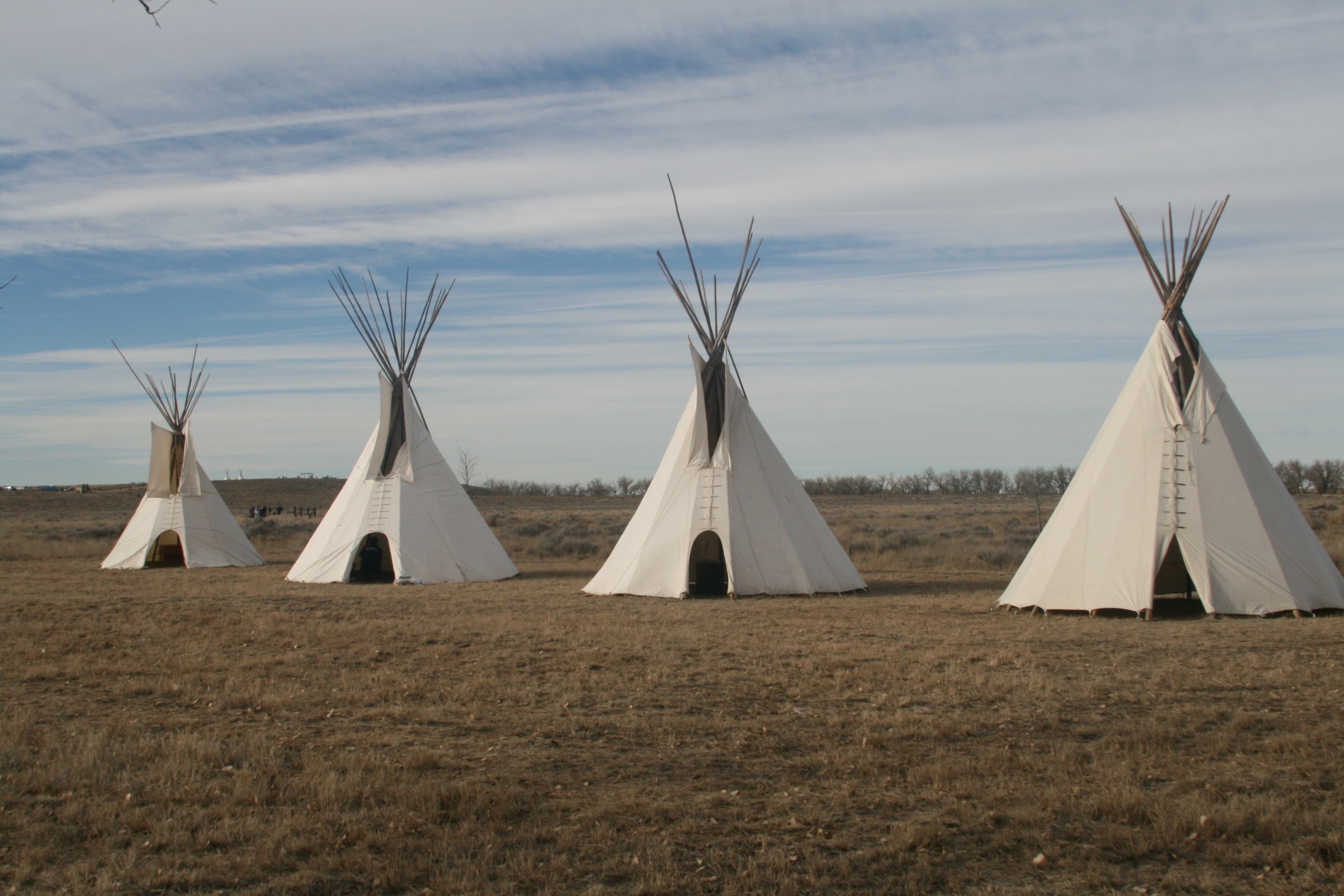
Official NPS alert →On November 29th, 1864, Chiefs Black Kettle, White Antelope, Left Hand and others were encamped with around 750 Arapaho and Cheyenne people in a valley by the Big Sandy Creek. A hope for peace, brought forth by Black Kettle was in the balance. It was a tragic day where the blood of the Cheyenne and Arapaho was shed, and a painful memory for generations of Native Americans was made.
Topics
No entrance fee.
Hours & seasons
The park is located 23 miles outside of the town of Eads, Colorado and is open five days a week. Please view the directions tab for more information.
⚠ Sand Creek Massacre National Historic Site: closed Nov 11 – Nov 11; Sand Creek Massacre National Historic Site: closed Jan 18 – Jan 18; Sand Creek Massacre National Historic Site: closed Feb 15 – Feb 15; Sand Creek Massacre National Historic Site: closed Jun 19 – Jun 19
Generally open:
winterspringsummerfallHours are reported by the park — verify before you go.
📞 7194385916
✉ sand_information@nps.govConditions
Quietest months (fewer crowds): Jan, Feb, Nov, Dec
Typical crowds: low
Weather now: ☀️ Clear, 79°F
☁️ 81°/58°
🌧️ 66°/54°
🌦️ 80°/56°
Typical monthly recreation visits · NPS avg 2023–2025 — orange months are the quietest by crowds.
Quietest months
Relative crowds by month — lighter is quieter; ringed months are the calmest by crowds.
Jan
11%
Feb
17%
Mar
57%
Apr
57%
May
100%
Jun
92%
Jul
84%
Aug
63%
Sep
76%
Oct
51%
Nov
30%
Dec
20%
Log a sky reading
Measured the sky with an SQM meter or app? Add your reading (16 = city glow … 22 = pristine). Opt in under “Travelers like you” to share it on the community leaderboard.
Things to do
Be a Sand Creek B.A.R.K. Ranger
Hike the Monument Hill Trail
The Bluff Trail
Sand Creek Ranger Talk
Visitor centers
Information Center
Accessibility
13 audio-described place(s)
Reported by the park — verify before you go.
Not an official safety source — always defer to NPS.gov and rangers for life-safety decisions.
By the numbers
A visual read on Sand Creek Massacre National Historic Site — its character, trails, sky, and weather.
Park fingerprint
How this park scores across the dimensions travelers care about.
Trail difficulty
Difficulty mix across this park's trails.
3-day forecast
Daily high and low temperatures (°F).
People & stories
Figures tied to Sand Creek Massacre National Historic Site — each spans a cross-park journey.
Ameohtse’e Ochinee Prowers
Edward Wynkoop
— Indian Wars, Cheyenne And Arapaho Tribes, CheyenneJohn Chivington
— Military, Glorietta Pass, Sand CreekPassport stamps
Mark the stamps you've collected — they show in your memory and along your routes.
🎫 Information Center
🎫 Sand Creek Massacre Contact Station
🎫 Visitor and Education Center
Places to see
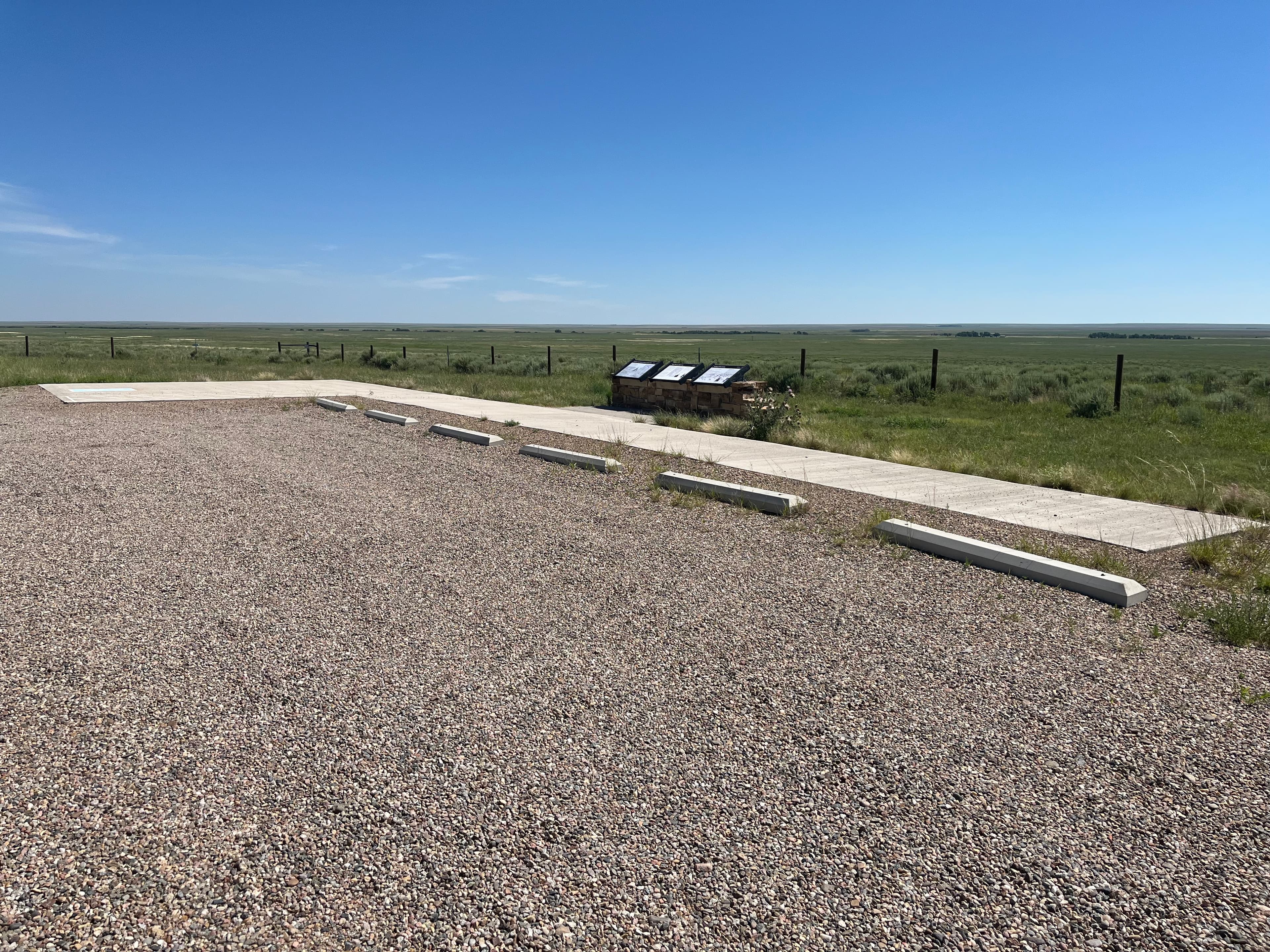
Approach Pullout
audio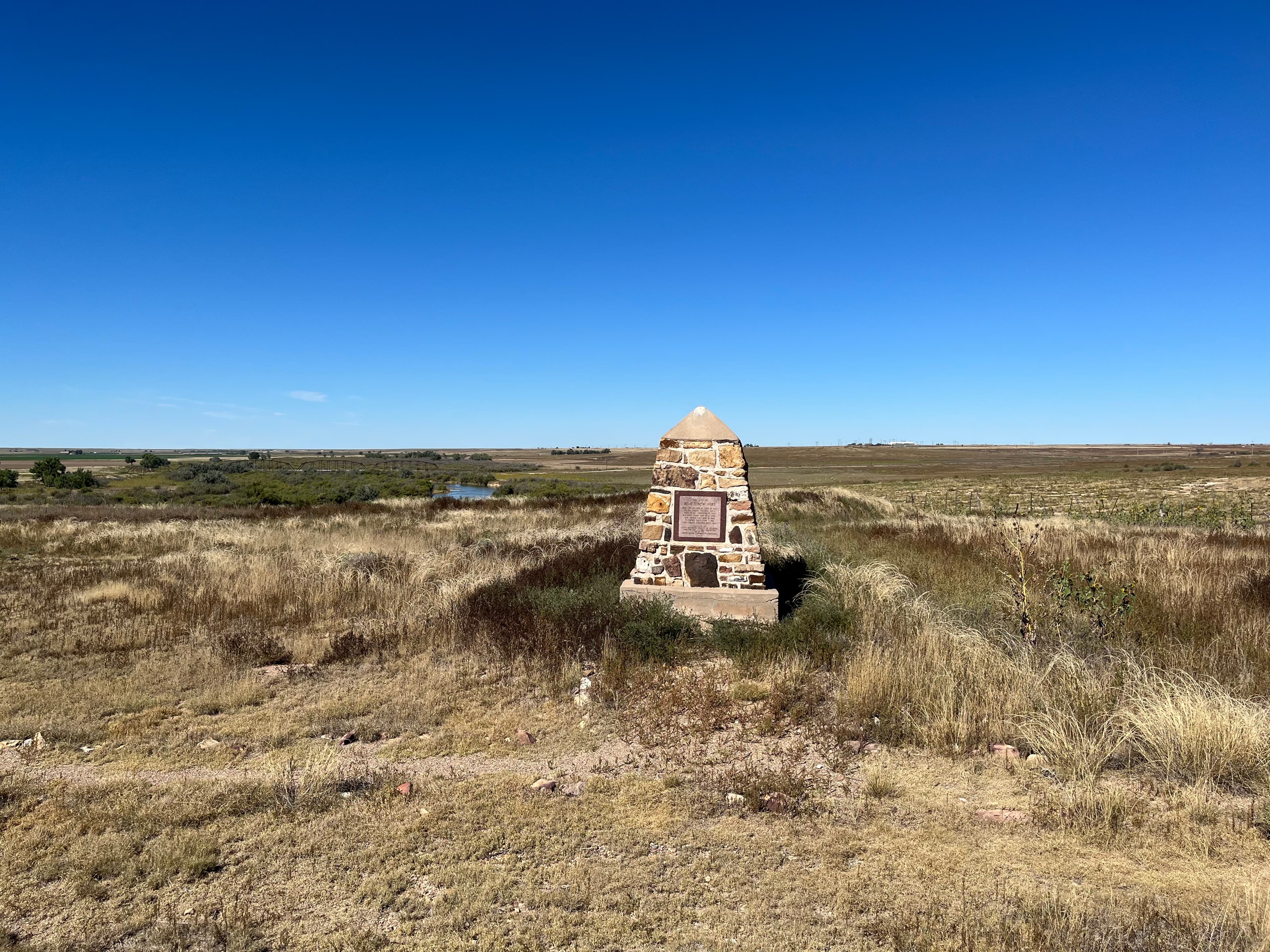
Bent's New Fort and Fort Wise/Lyon
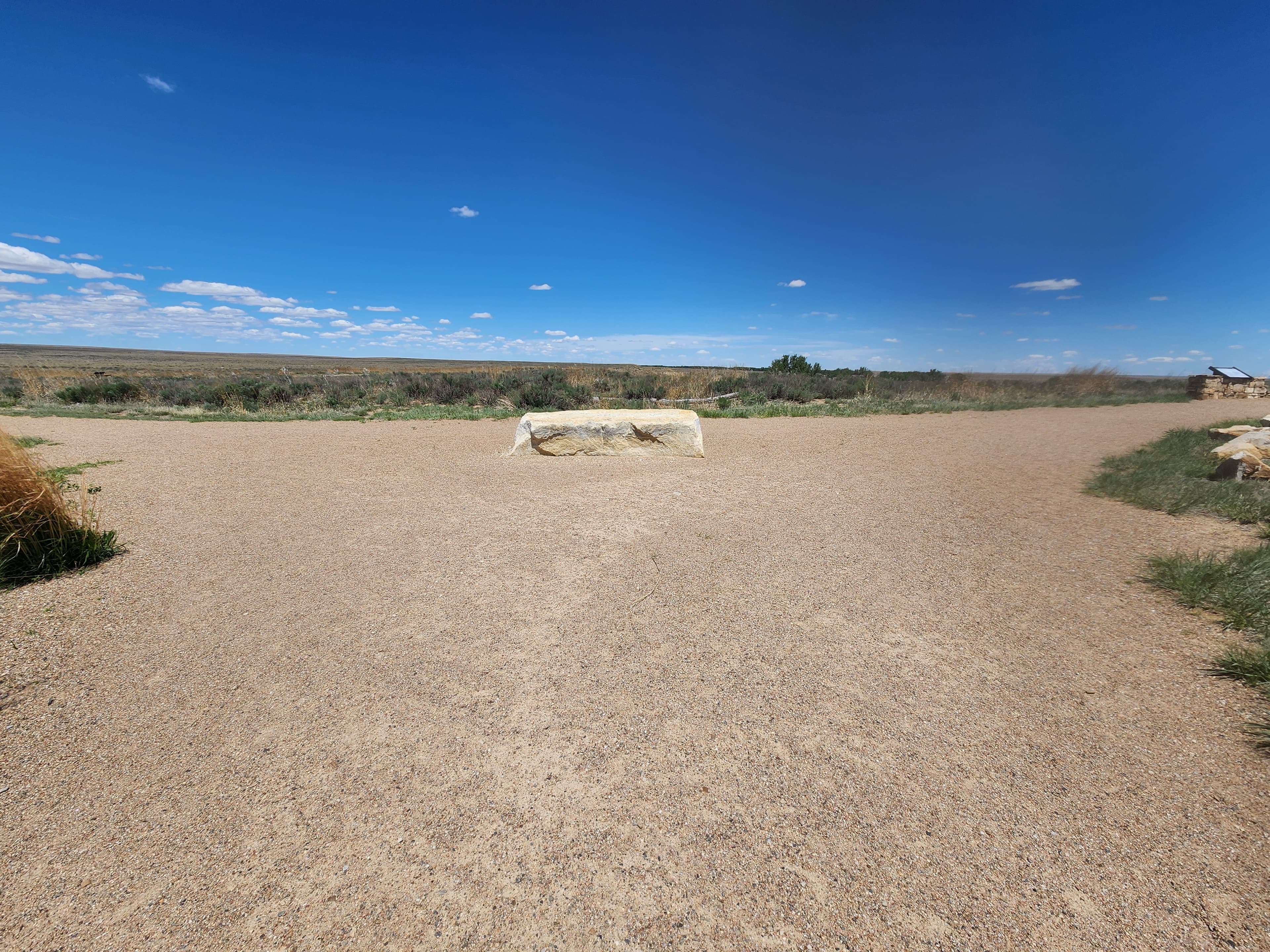
Bluff Trail Junction
audio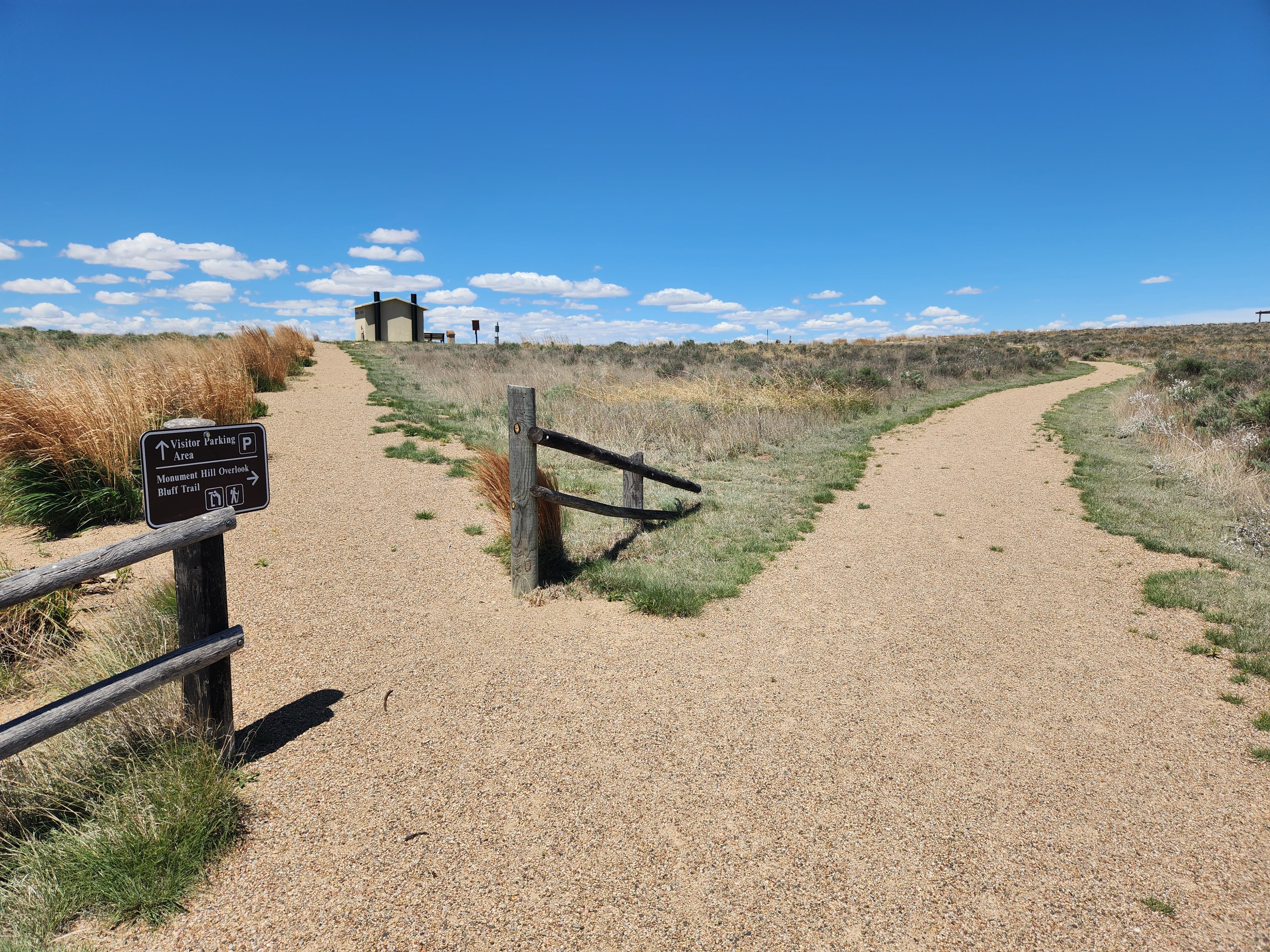
Monument Hill Parking Area Connection
audio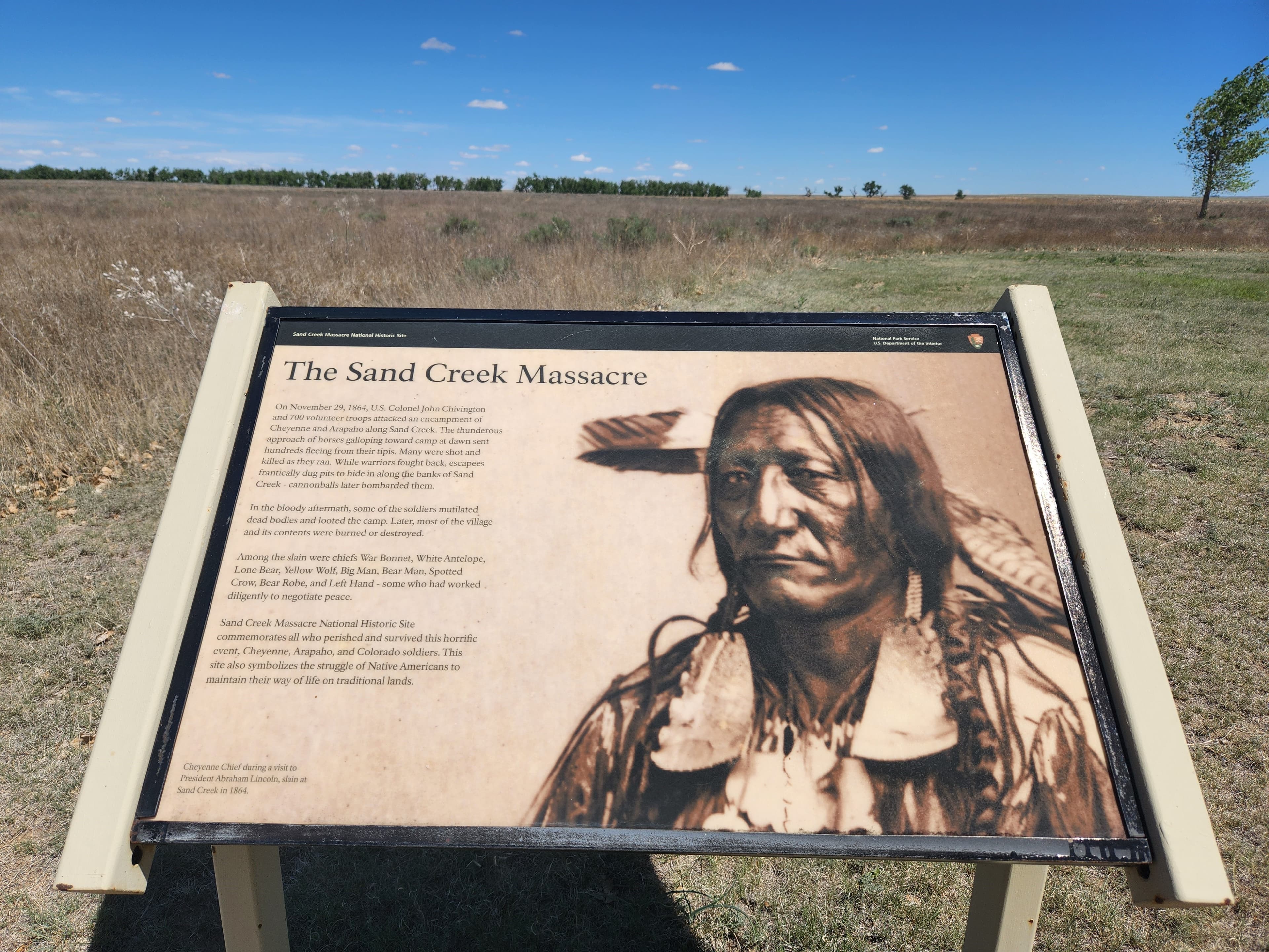
Monument Hill Trailhead
audio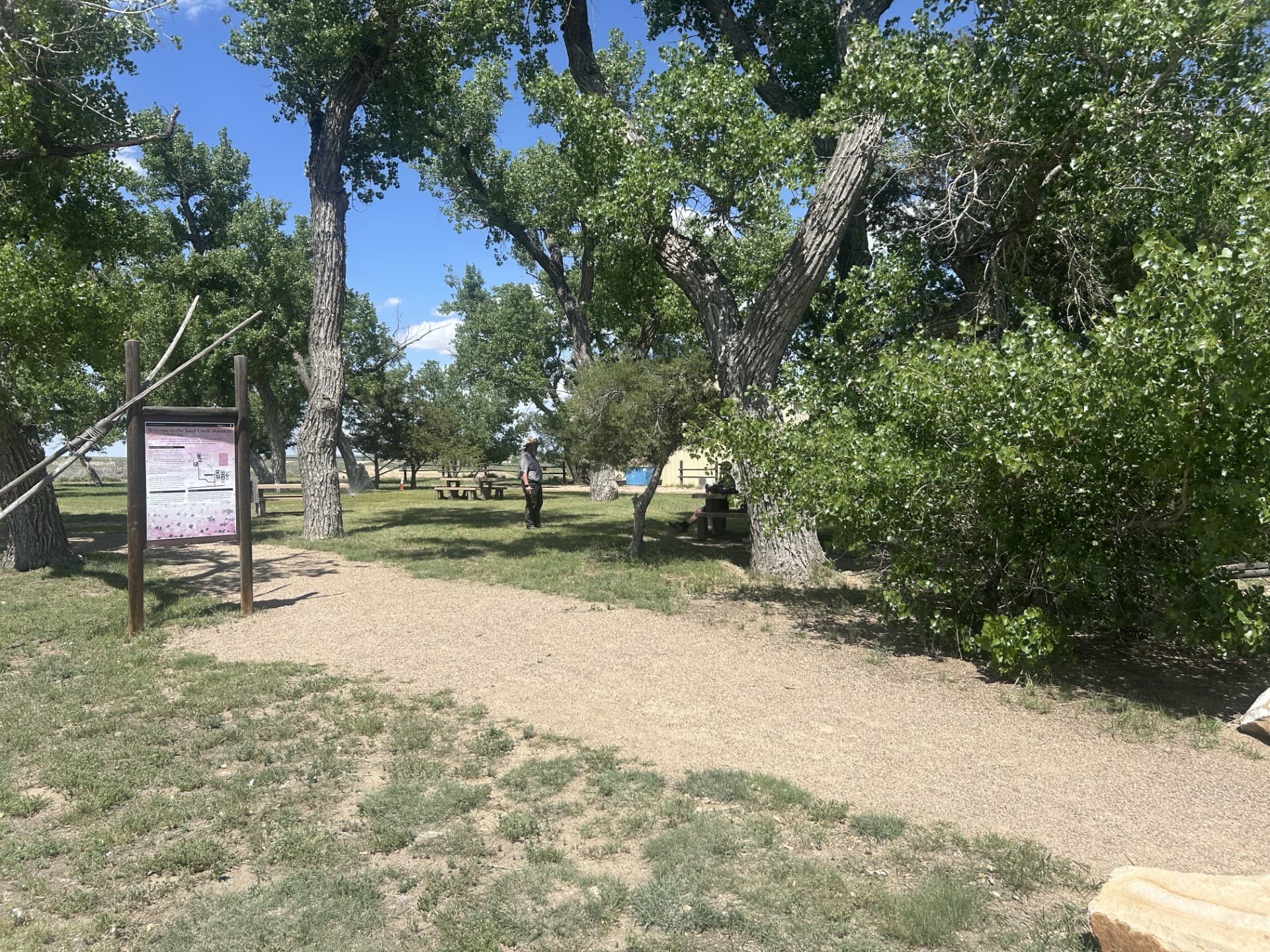
Orientation Area
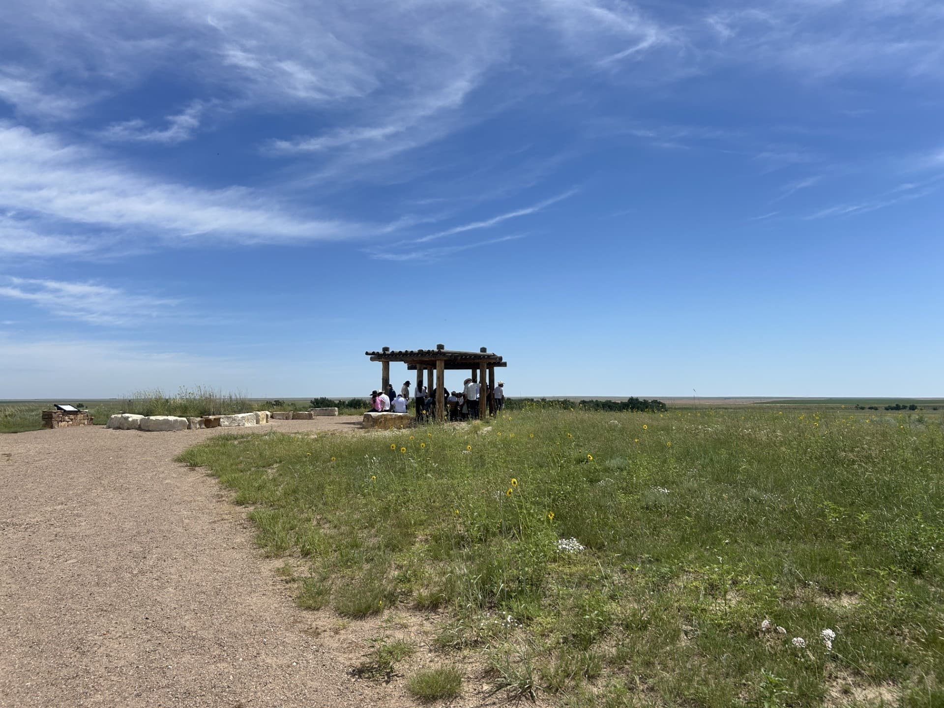
Overlook
audio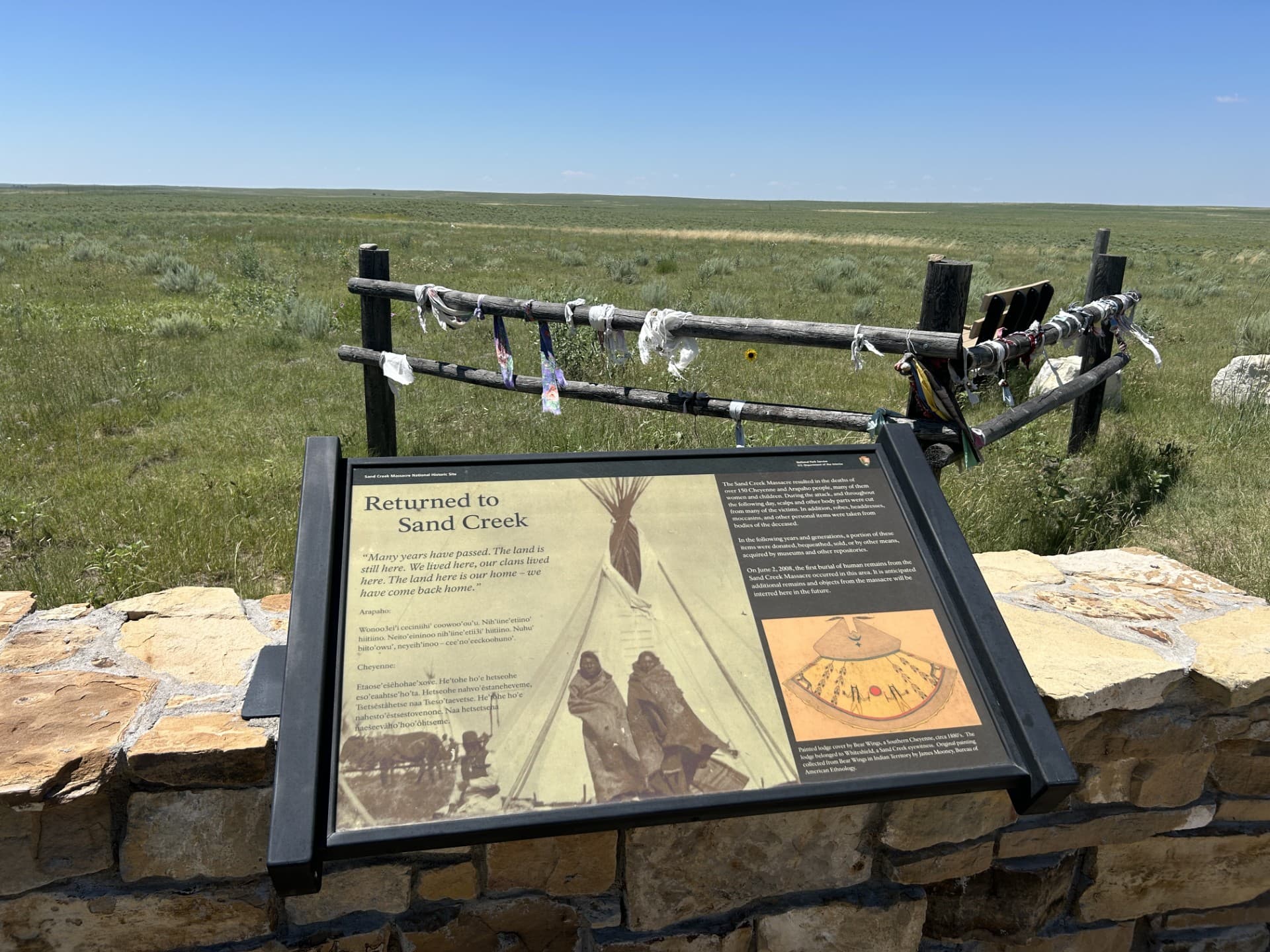
Repatriation Area
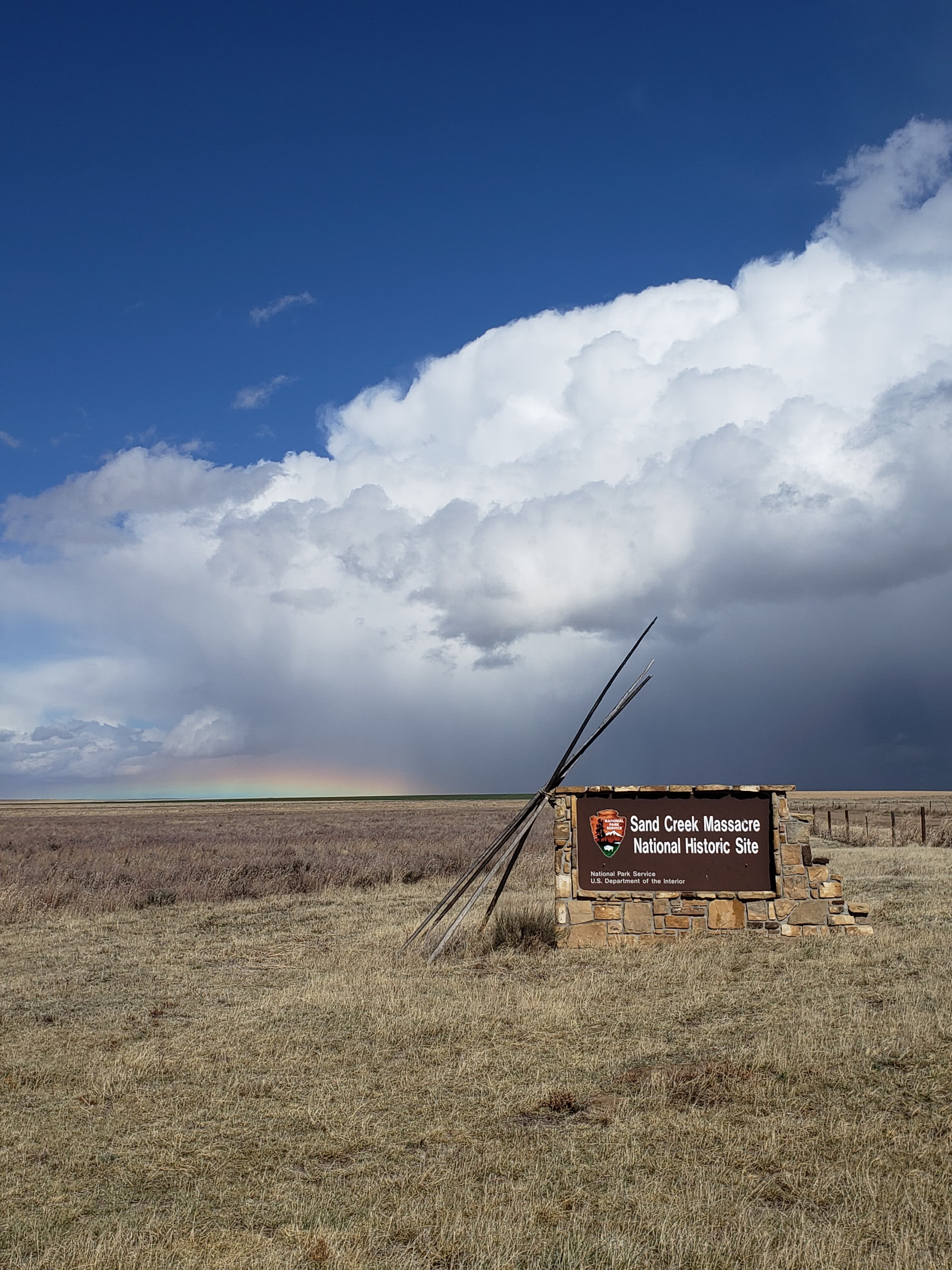
Sand Creek Massacre National Historic Site
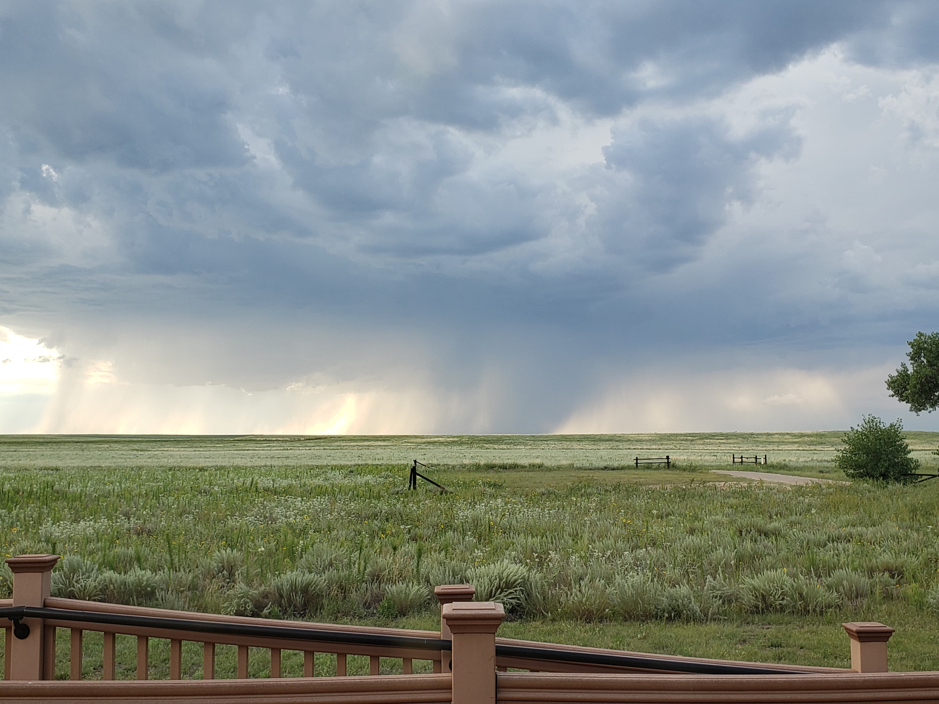
Sand Creek Massacre National Historic Site, the Santa Fe Trail
audio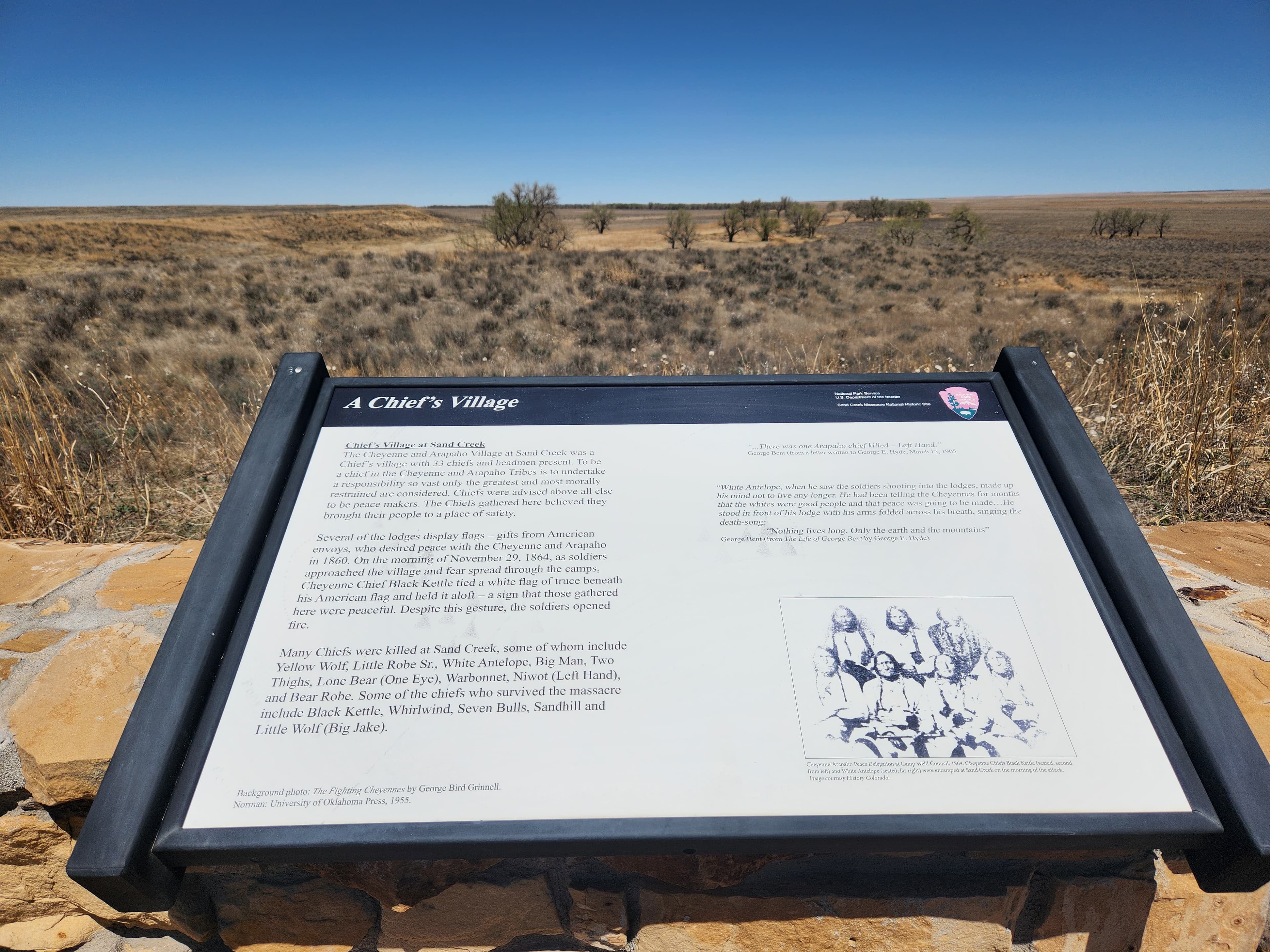
Wayside: A Chief's Village
audio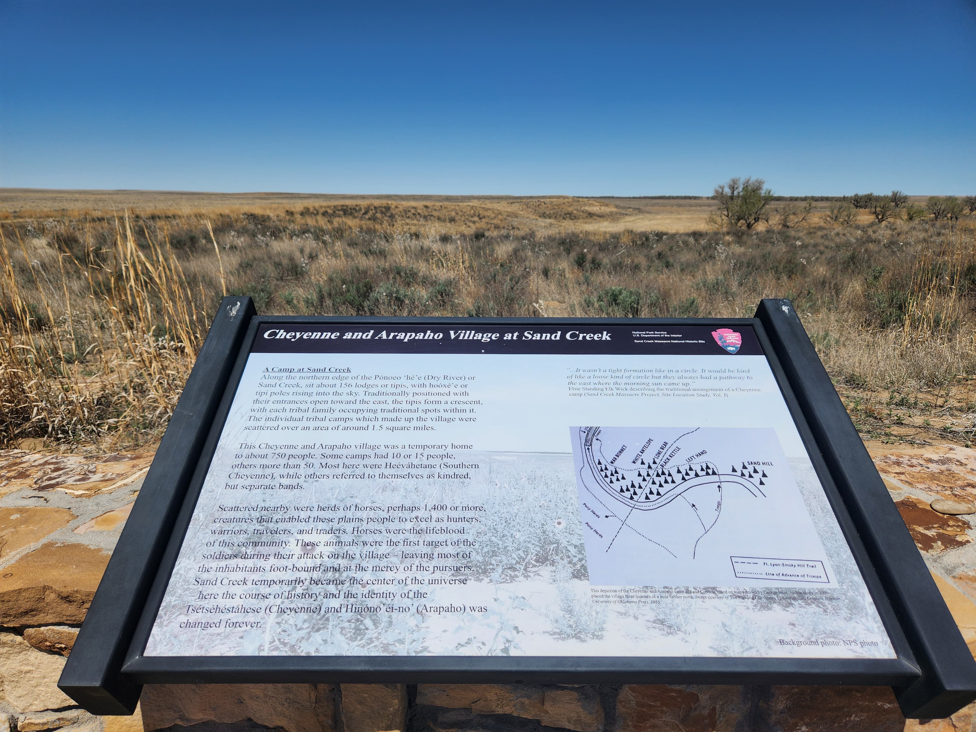
Wayside: Cheyenne and Arapaho Village at Sand Creek
audioAudio & media
🎧
🎬
🖼
Learn more
Read about one of the books that can be found in the library at James A. Garfield National Historic Site by author Helen Hunt Jackson whom shared a mutual acquaintance, Emily Dickinson, with First Lady Lucretia Rudolph. The book was a gift to the newly elected president in January 1881.
When the climate changes enough, the vegetation communities growing in any given place will also change. Under an expanded bimodal climate zone, some plant communities in western national parks are more likely to change than others. National Park Service ecologists and partners investigated the future conditions that may force some of this change. Having this information can help park managers decide whether to resist, direct, or accept the change.
Across the US, changes in water availability are altering which plants grow where. These changes are evident at a broad scale. But not all areas experience the same climate in the same way, even within the boundaries of a single national park. A new dataset gives park managers a valuable tool for understanding why vegetation has changed and how it might change in the future under different climate-change scenarios.
Climate change may have direct and/or indirect effects on many elements of Southern Plains network ecosystems, from streams and grasslands to fires and birds.
Southern Plains Network scientists monitor climate and how it may be changing at Sand Creek Massacre National Historic Site to better assess the condition of park resources. A weather station near the park has been in operation since 1907, providing reliable, long-term climate data. In this web article, we report on climate and weather at the park in Water Year 2024.
Climate is one of many ecological indicators monitored by the National Park Service (NPS) Division of Inventory & Monitoring (I&M). Climate data help scientists to understand ecosystem processes and help to explain many of the patterns and trends observed in other natural-resource monitoring. In NPS units of the American Southwest, three I&M networks monitor climate using the scientific protocol described here.
Southern Plains Network scientists monitor climate and how it may be changing at Sand Creek Massacre National Historic Site to better assess the condition of park resources. A weather station near the park has been in operation since 1907, providing reliable, long-term climate data. There was substantially less rainfall than the long-term average in all months except January and May in water year 2022.
Southern Plains Network scientists monitor climate and how it may be changing at Sand Creek Massacre National Historic Site to better assess the condition of park resources. A weather station near the park has been in operation since 1907, providing reliable, long-term climate data. In this web article, we report on climate and weather at the park in Water Year 2023.
How Sand Creek Massacre National Historic Site connects
This park's activities, topics, location, and on-the-ground places — one hop in the graph. Drag to explore; click an activity, topic, or related park to follow it.
Park
Activity
Topic
State
VisitorCenter
PassportStamp
Trail
ThingToDo
Alert
Similar parks
Share activities & topics with Sand Creek Massacre National Historic Site.