Saint Croix National Scenic Riverway
Wisconsin, Minnesota
Tonight
🌓 65% moon
8.4 h fully dark
Crowds
moderate
Open today
Open
Entrance
Free entry
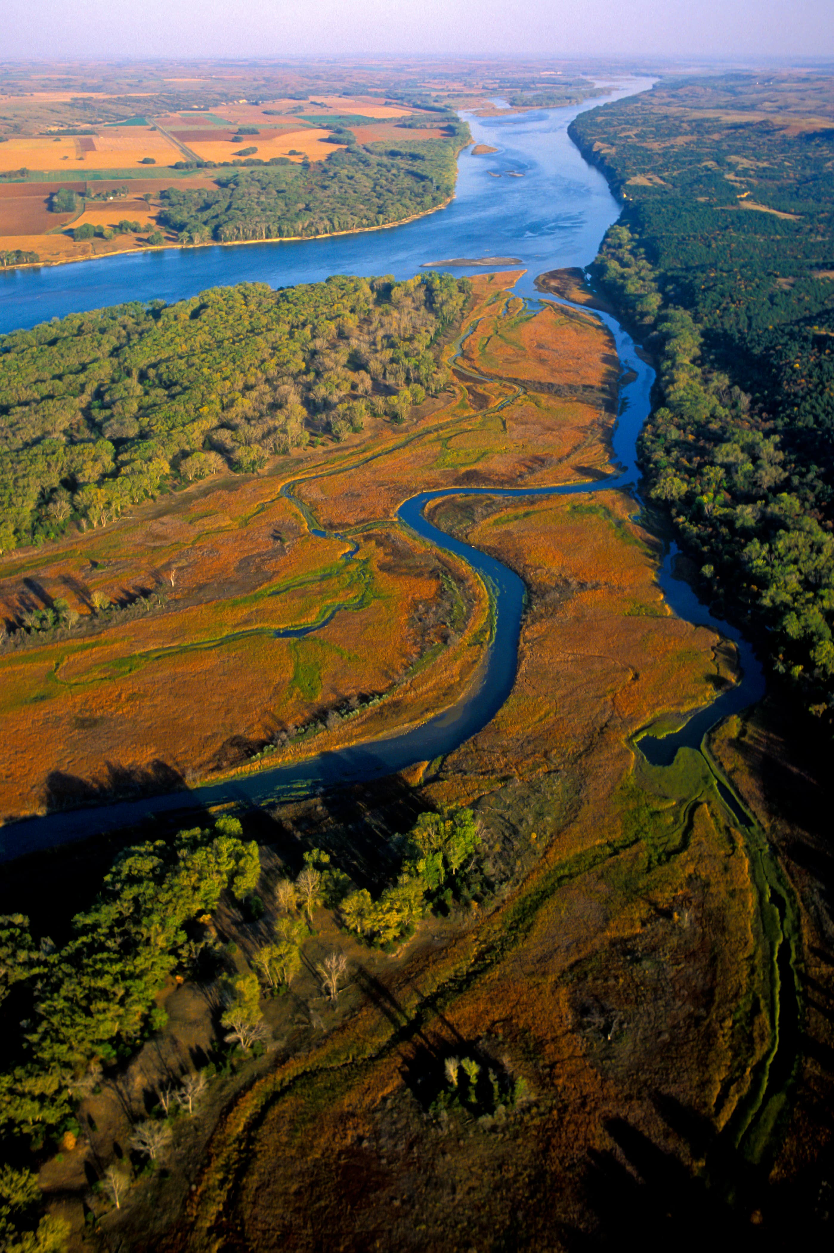
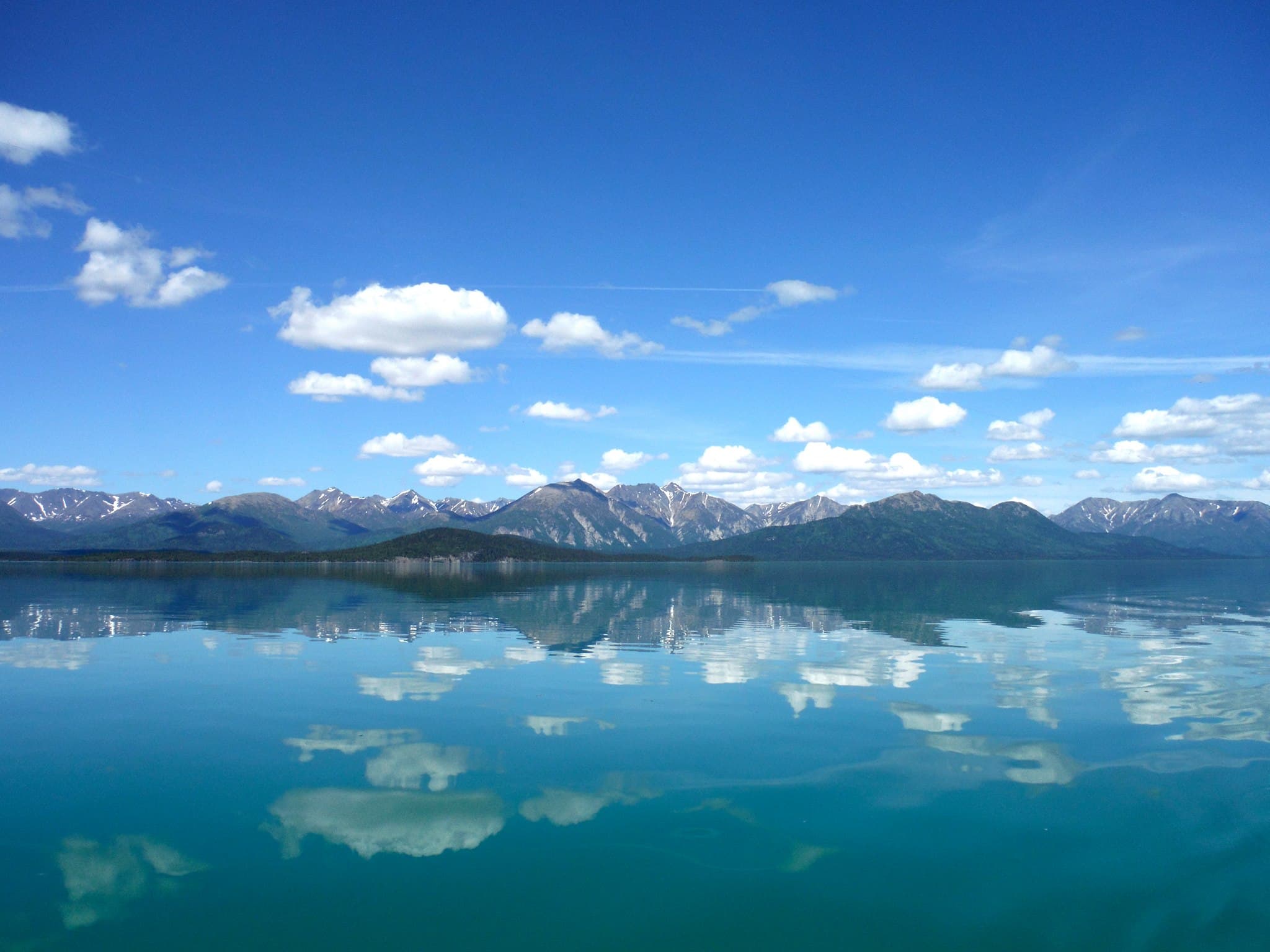
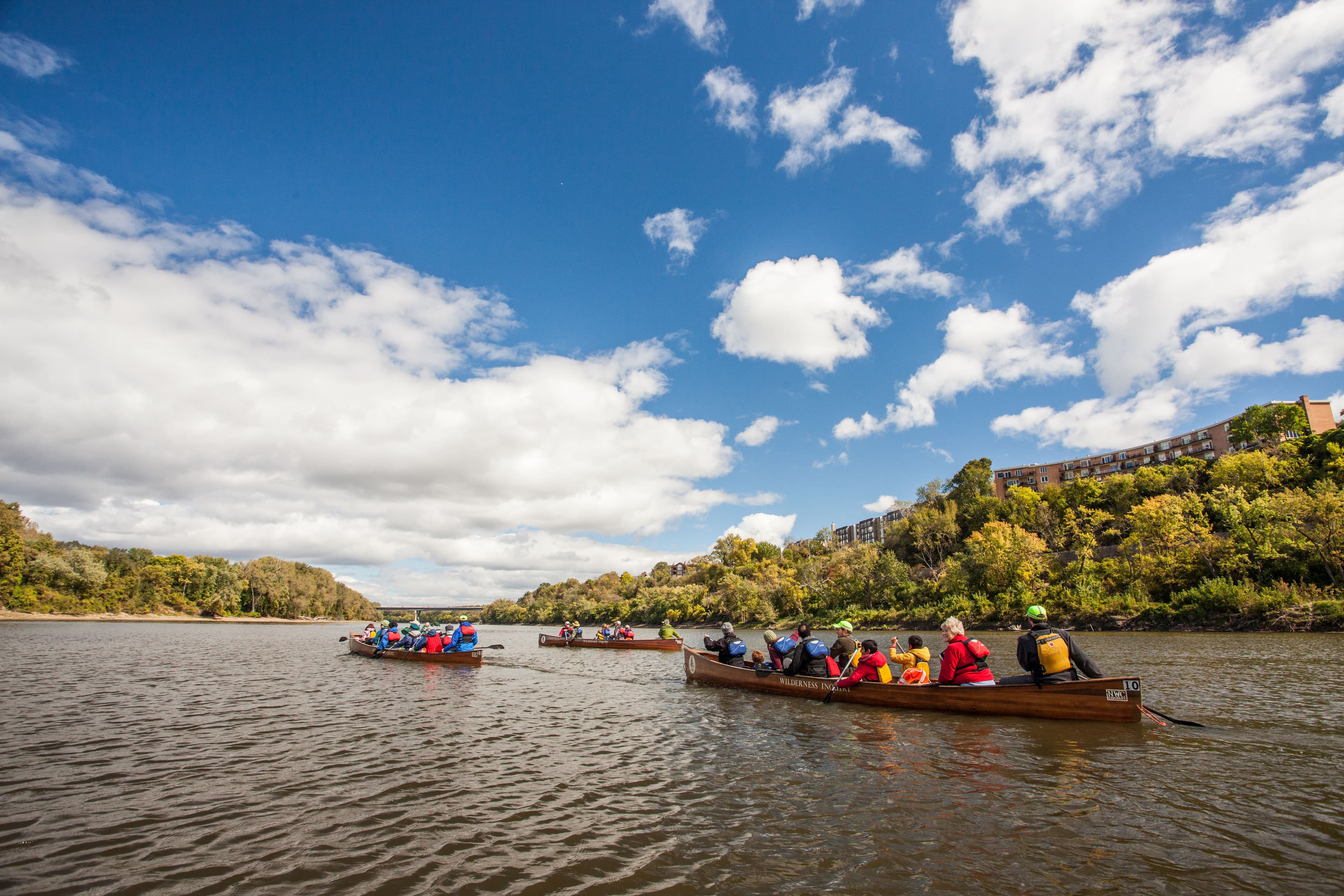
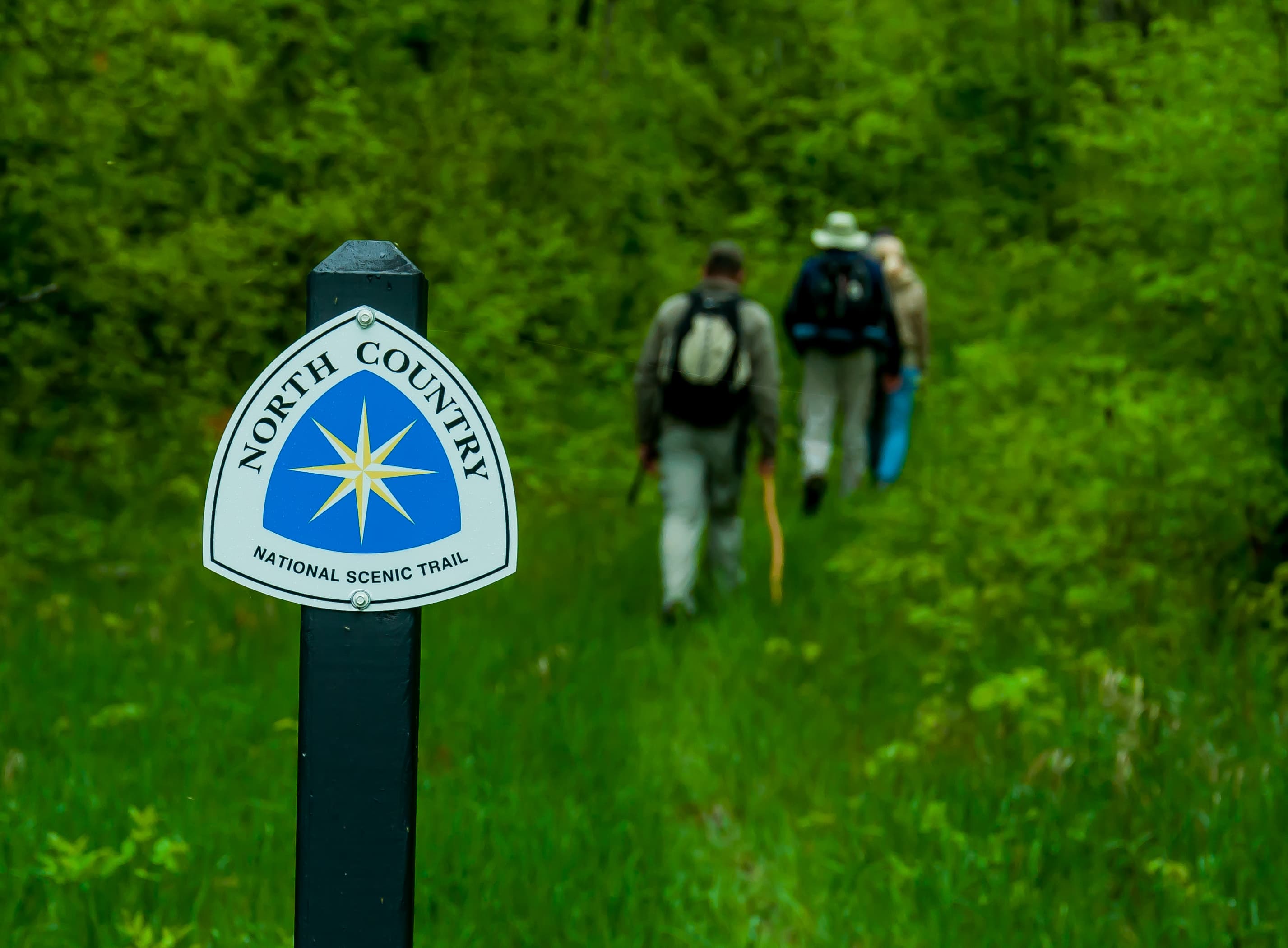
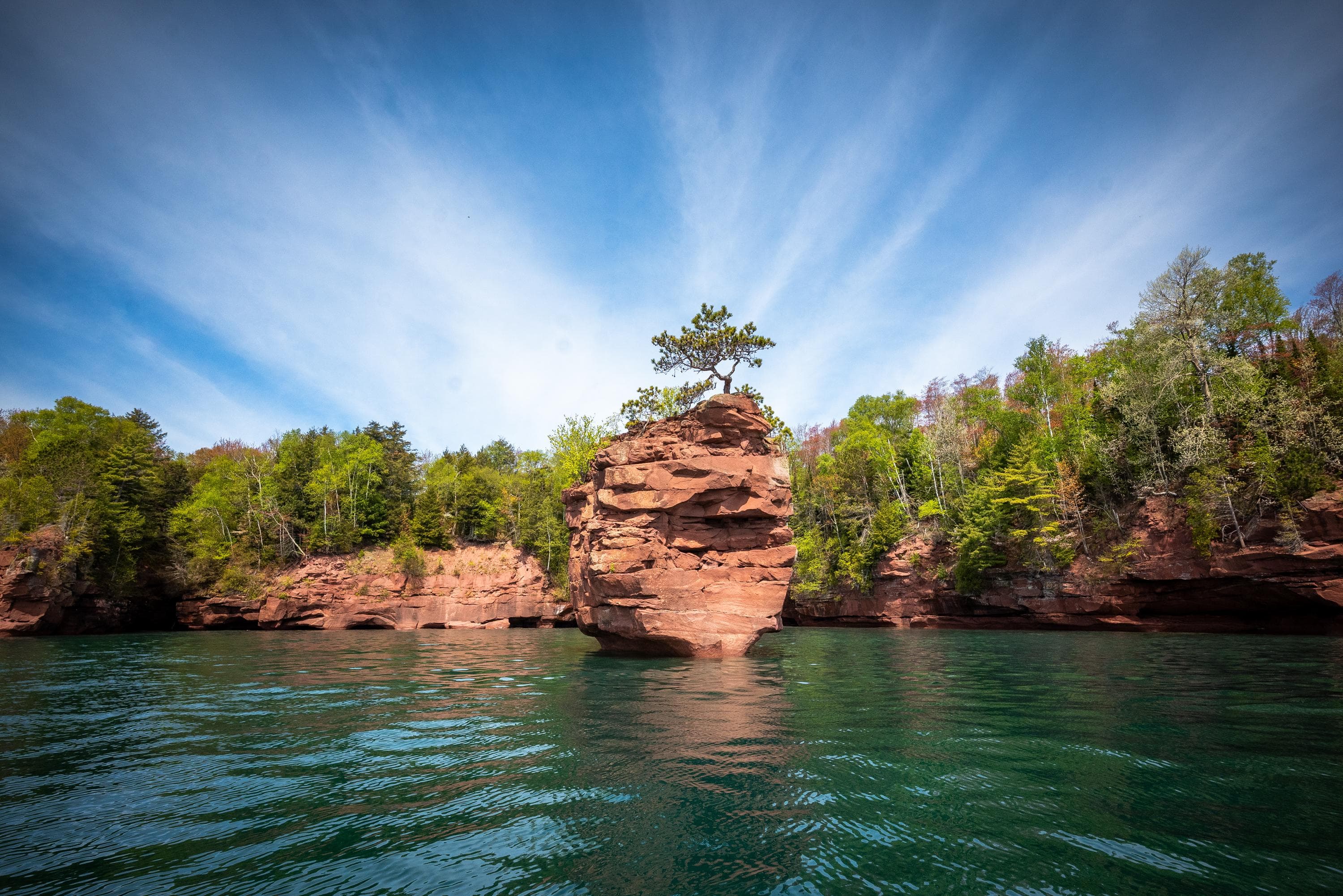
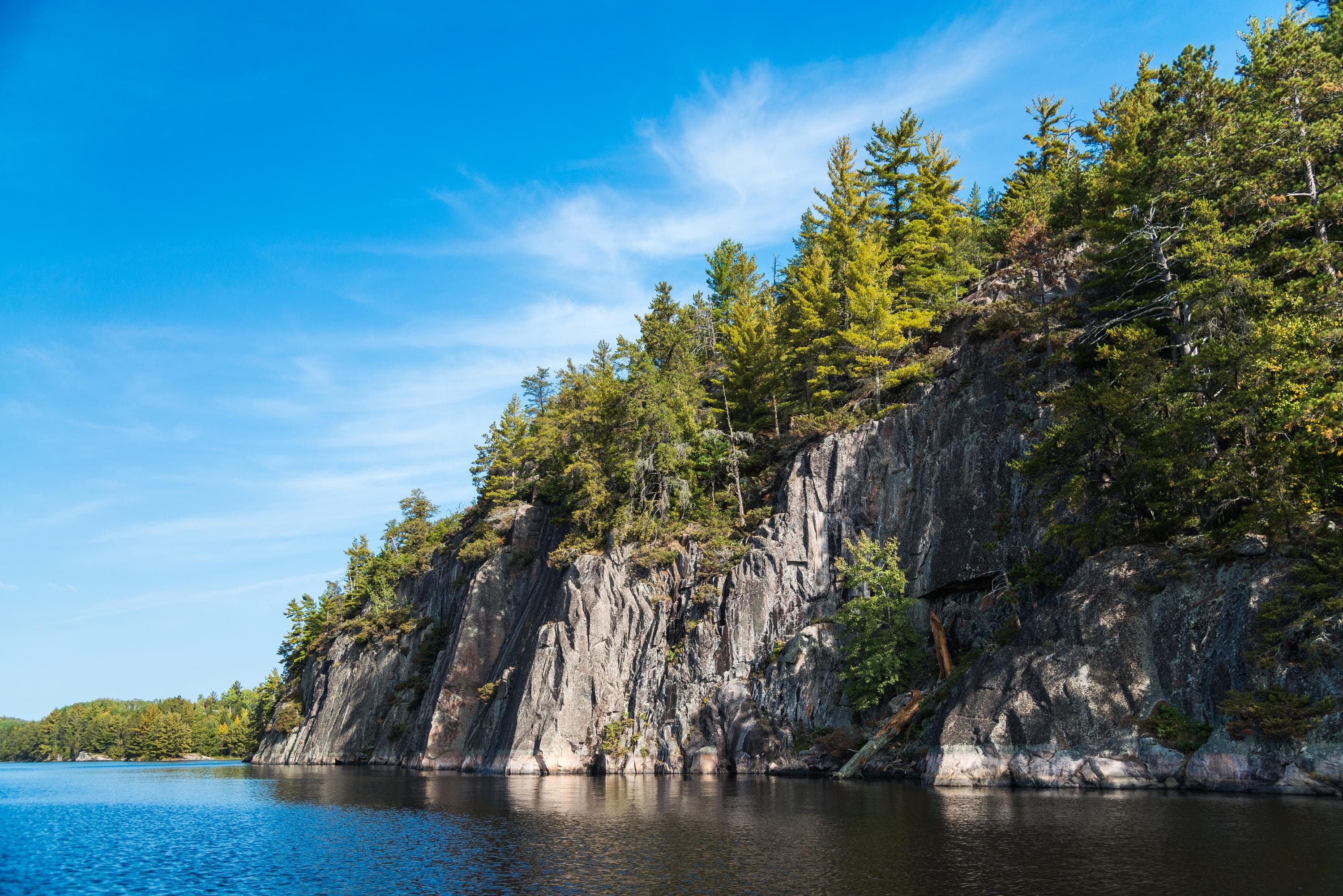
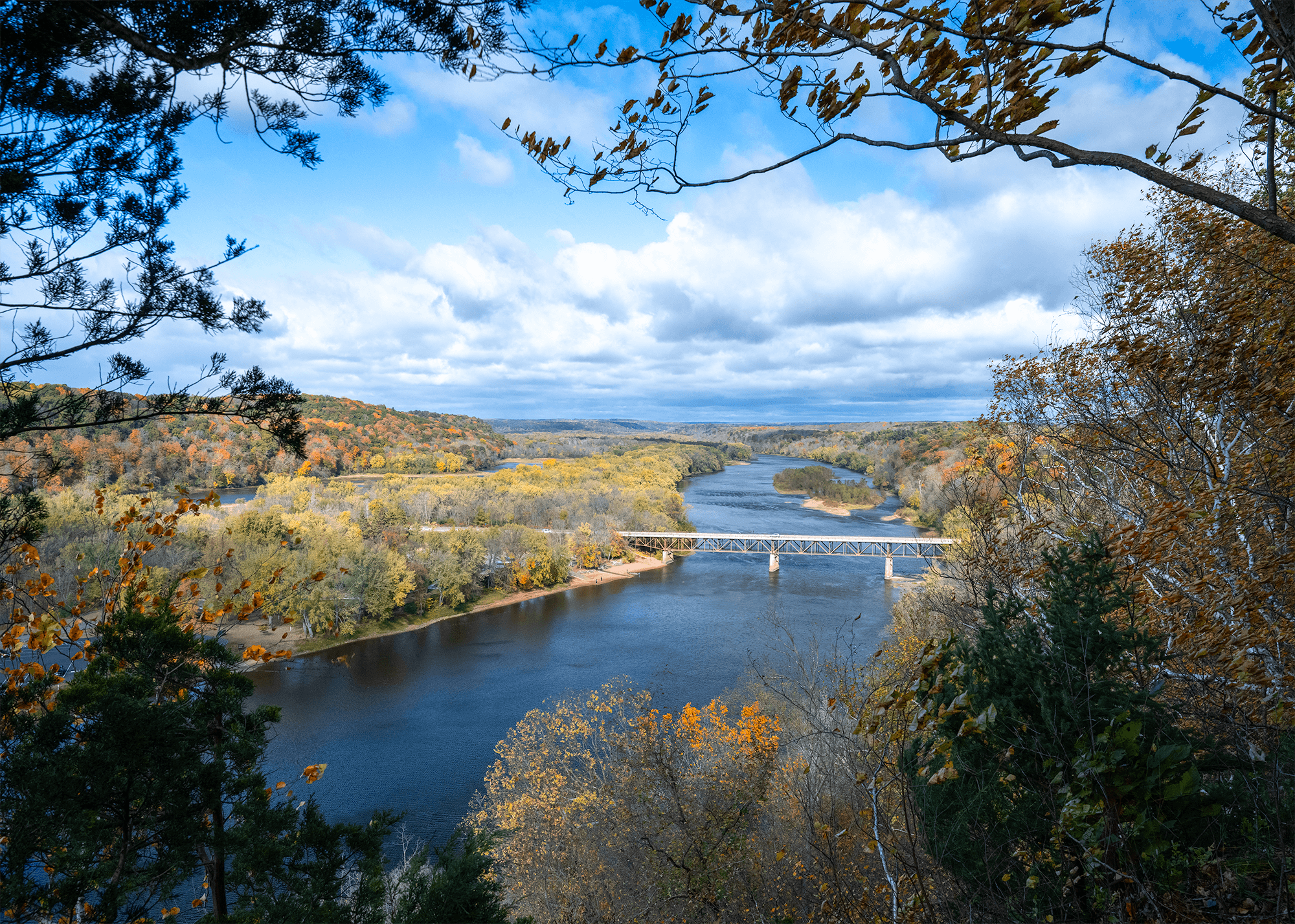
Grab your paddle and your longing for adventure and head to the St. Croix and Namekagon rivers! Together they form the St. Croix National Scenic Riverway, offering over 200 miles of clean water that glides and rushes through a forested landscape. Paddle, boat, fish, and camp among this wild and scenic beauty. Hiking and historic towns also beckon.
Activities
No entrance fee.
Hours & seasons
The St. Croix and Namekagon rivers are open all-day, year-round except for periods of dangerous water conditions. Access to landings and trails is seasonal.
Generally open:
winterspringsummerfallHours are reported by the park — verify before you go.
📞 7154832274
✉ SACN_Info@nps.govConditions
Quietest months (fewer crowds): Jan, Feb, Nov, Dec
Typical crowds: moderate
Weather now: ☁️ Overcast, 61°F
☁️ 62°/50°
☁️ 59°/43°
☁️ 66°/42°
Typical monthly recreation visits · NPS avg 2023–2025 — orange months are the quietest by crowds.
Quietest months
Relative crowds by month — lighter is quieter; ringed months are the calmest by crowds.
Jan
0%
Feb
2%
Mar
2%
Apr
12%
May
52%
Jun
81%
Jul
100%
Aug
78%
Sep
48%
Oct
29%
Nov
1%
Dec
0%
Log a sky reading
Measured the sky with an SQM meter or app? Add your reading (16 = city glow … 22 = pristine). Opt in under “Travelers like you” to share it on the community leaderboard.
Things to do
Paddling The Riverway · Paddling the rivers can be as short as two hours or as long as five days.
Explore the Ridge View Trail, Osceola Loop
Campgrounds
Lower St. Croix District · 19 sites · first-come
Middle St. Croix · 57 sites · first-come
Namekagon District · 67 sites · first-come
Visitor centers
Namekagon River Visitor Center
St. Croix River Visitor Center
Accessibility
3 accessible campground(s)
1 audio-described place(s)
Reported by the park — verify before you go.
Not an official safety source — always defer to NPS.gov and rangers for life-safety decisions.
By the numbers
A visual read on Saint Croix National Scenic Riverway — its character, trails, sky, and weather.
Park fingerprint
How this park scores across the dimensions travelers care about.
Trail difficulty
Difficulty mix across this park's trails.
3-day forecast
Daily high and low temperatures (°F).
Passport stamps
Mark the stamps you've collected — they show in your memory and along your routes.
🎫 Namekagon River Visitor Center
🎫 St. Croix River Visitor Center
Places to see
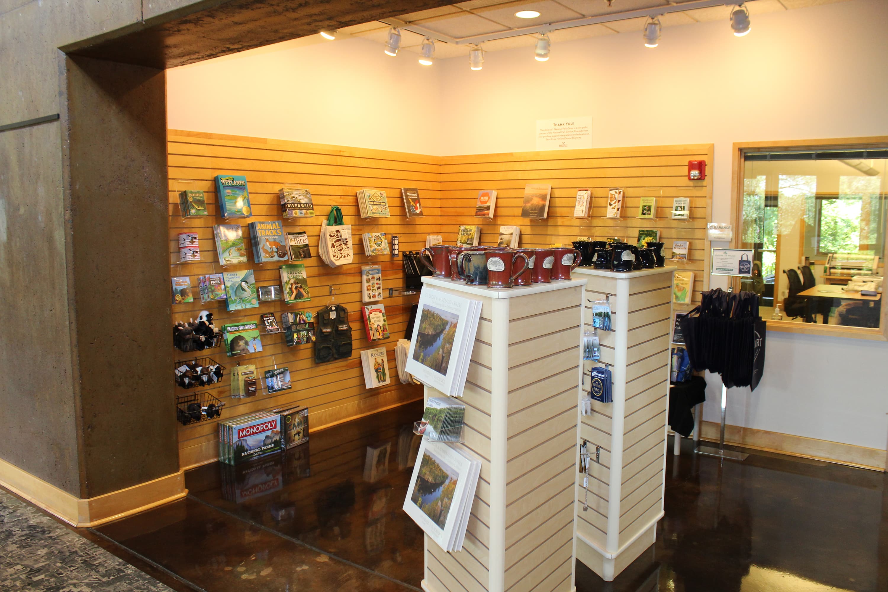
Park Store
audioAudio & media
🎧
🎬
🖼
Learn more
The National Park Service congratulates the regional recipients of the 2025 Excellence in Volunteerism Awards. These nominees embody the values of service, engagement, and stewardship fundamental to our national parks.
Production of DDT and PCBs was banned in the United States in the 1970s, but they continue to be found in the blood and feathers of bald eagles. What does our monitoring of eagles in three Great Lakes Network parks tell us about these "legacy contaminants"?
A summary of bat monitoring data collected at the St. Croix National Scenic Riverway (Wisconsin/Minnesota) from 2016 through 2018.
A summary of acoustic bat monitoring in Great Lakes Network parks from 2015 through 2019.
In 2024, fire management staff from the National Park Service’s Great Lakes Fire Management Zone, based at Indiana Dunes National Park, completed prescribed fires and fuels management projects across six different parks in four states using Bipartisan Infrastructure Law funding. Projects consisted of prescribed fires, mechanical fuels reduction, pile burning, ecological surveys, and natural resource monitoring.
The flat layers of rock exposed in Grand Canyon National Park encompass much of the Paleozoic, beginning in the Cambrian where they record an ancient shoreline.
A summary of landscape change along the St. Croix National Scenic Riverway based on satellite imagery collected from 1990 through 2020.
Across the US, changes in water availability are altering which plants grow where. These changes are evident at a broad scale. But not all areas experience the same climate in the same way, even within the boundaries of a single national park. A new dataset gives park managers a valuable tool for understanding why vegetation has changed and how it might change in the future under different climate-change scenarios.
How Saint Croix National Scenic Riverway connects
This park's activities, topics, location, and on-the-ground places — one hop in the graph. Drag to explore; click an activity, topic, or related park to follow it.
Park
Activity
Topic
State
Campground
VisitorCenter
PassportStamp
Trail
ThingToDo
Similar parks
Share activities & topics with Saint Croix National Scenic Riverway.