Pony Express National Historic Trail
Nebraska, California, Colorado, Utah, Wyoming, Kansas, Missouri, Nevada
Tonight
🌓 65% moon
8.6 h fully dark
Open today
Open
Entrance
Free entry
It is hard to believe that young men once rode horses to carry mail from Missouri to California in the unprecedented time of only 10 days. This relay system along the Pony Express National Historic Trail in eight states was the most direct and practical means of east-west communications before the telegraph.
Activities
Topics
No entrance fee.
Hours & seasons
The Pony Express National Historic Trail is not a clearly marked hiking trail. Instead it is a route that passes through communities, urban areas, public lands, and Wilderness. The route travels across a variety of land ownerships and management, including private land. Each location varies as to the hours of operations and access. Please contact individual trail sites before your visit for more information.
Generally open:
winterspringsummerfallHours are reported by the park — verify before you go.
Conditions
Weather now: ☀️ Clear, 59°F
🌫️ 64°/38°
☁️ 68°/40°
🌦️ 71°/42°
Log a sky reading
Measured the sky with an SQM meter or app? Add your reading (16 = city glow … 22 = pristine). Opt in under “Travelers like you” to share it on the community leaderboard.
Things to do
Become a Pony Express Trail Junior Ranger
Walk on the Pony Express Trail
Check out Museums and Visitor Centers along the Pony Express Trail
Horseback Riding on the Pony Express Trail
Accessibility
140 audio-described place(s)
Reported by the park — verify before you go.
Not an official safety source — always defer to NPS.gov and rangers for life-safety decisions.
By the numbers
A visual read on Pony Express National Historic Trail — its character, trails, sky, and weather.
Park fingerprint
How this park scores across the dimensions travelers care about.
Trail difficulty
Difficulty mix across this park's trails.
3-day forecast
Daily high and low temperatures (°F).
People & stories
Figures tied to Pony Express National Historic Trail — each spans a cross-park journey.
Henry Avis
— Pony Express, Pony Express Rider, National TrailsJohnson William Richardson
— Pony Express, Riders, Horseback RidingJules Beni
— Pony Express, National Trails, Historic TrailsMelville Baughn
— Pony Express, Express Riders, Horseback RidingPassport stamps
Mark the stamps you've collected — they show in your memory and along your routes.
🎫 Alexander Majors House
🎫 B.F. Hastings Building
🎫 Commissary Storehouse
🎫 Fort Bridger State Historic Site
🎫 Fort Kearny State Historical Park
🎫 Hollenberg Pony Express Station
🎫 Homestead National Historical Park, the Oregon Trail
🎫 National Historic Trails Interpretive Center
🎫 Old Bedlam
🎫 Pony Express National Historic Trail
🎫 Scotts Bluff National Monument
🎫 The California Trail Interpretive Center
Places to see
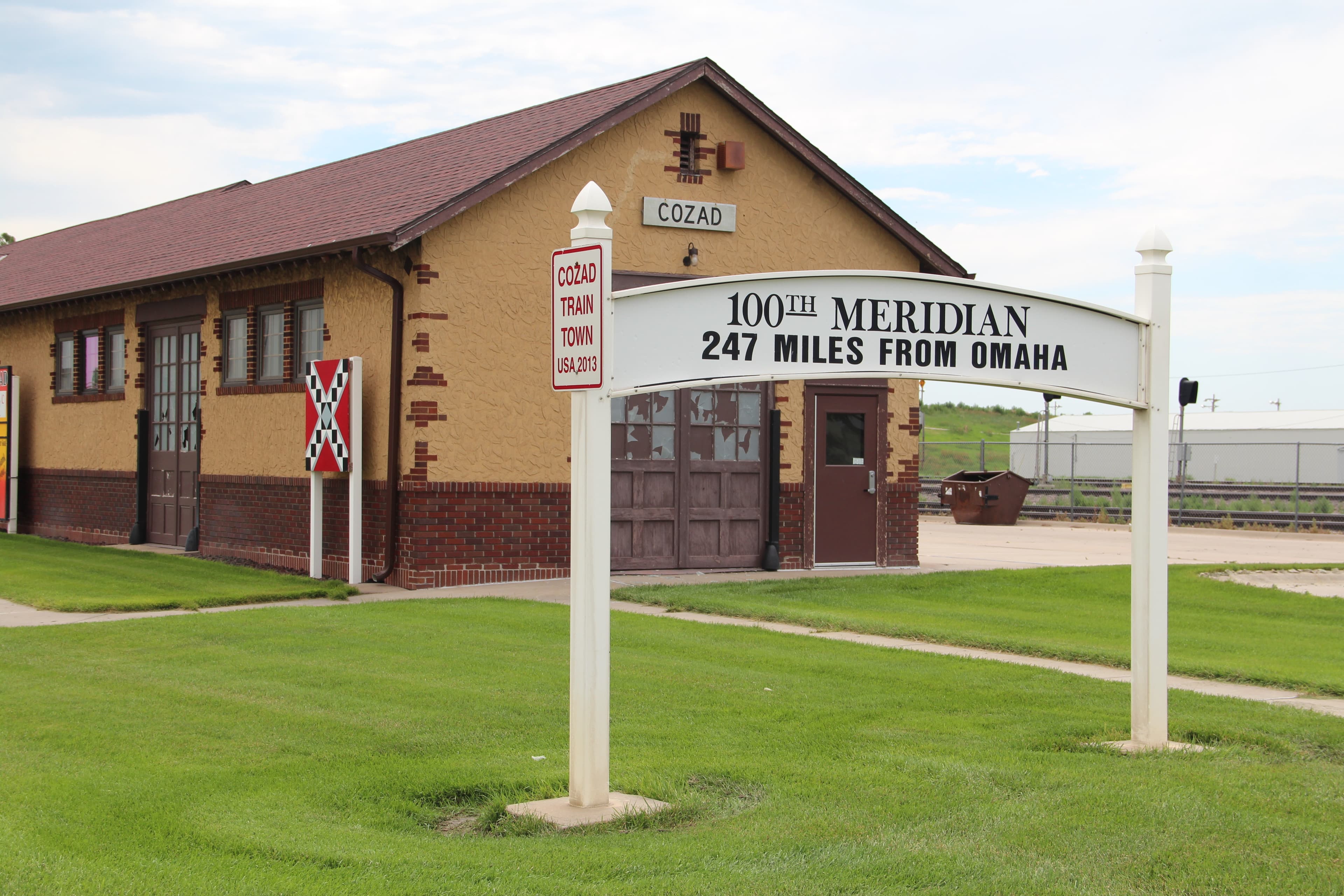
100th Meridian - Nebraska
audio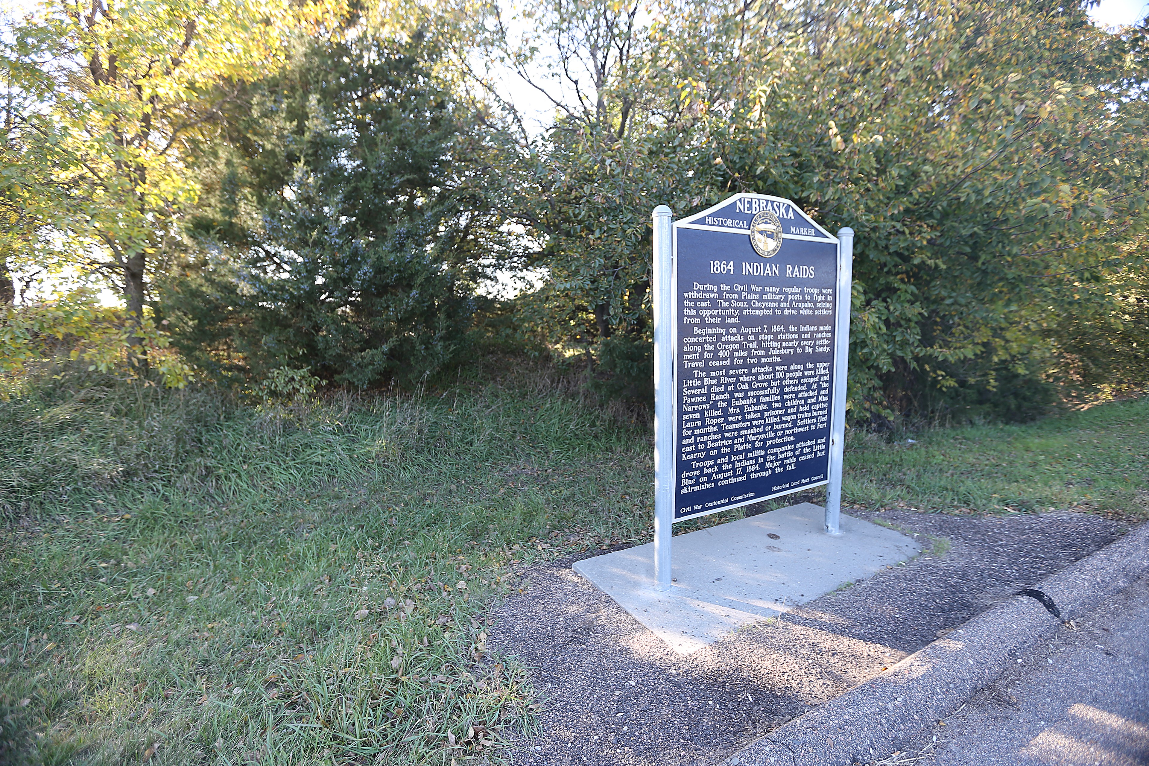
1864 Indian Raids
audio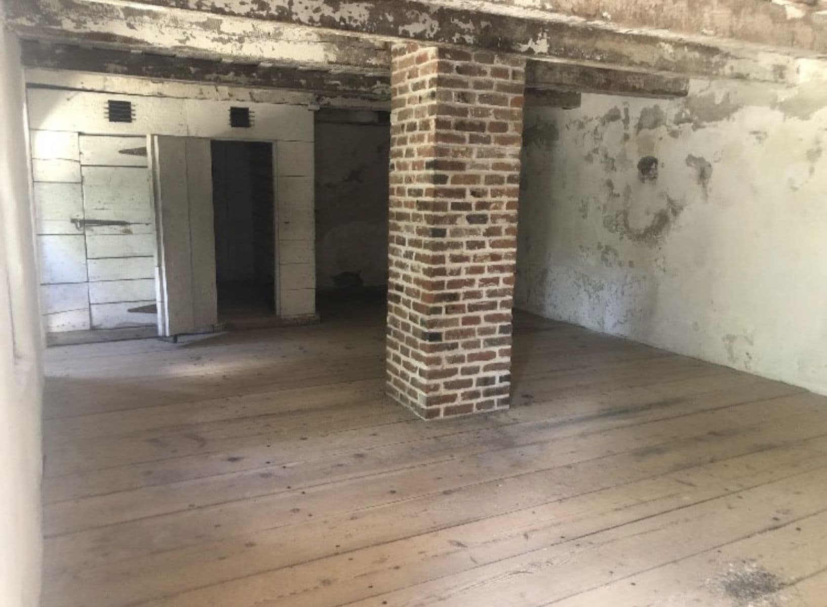
1866 Jail Cells at Fort Laramie
audio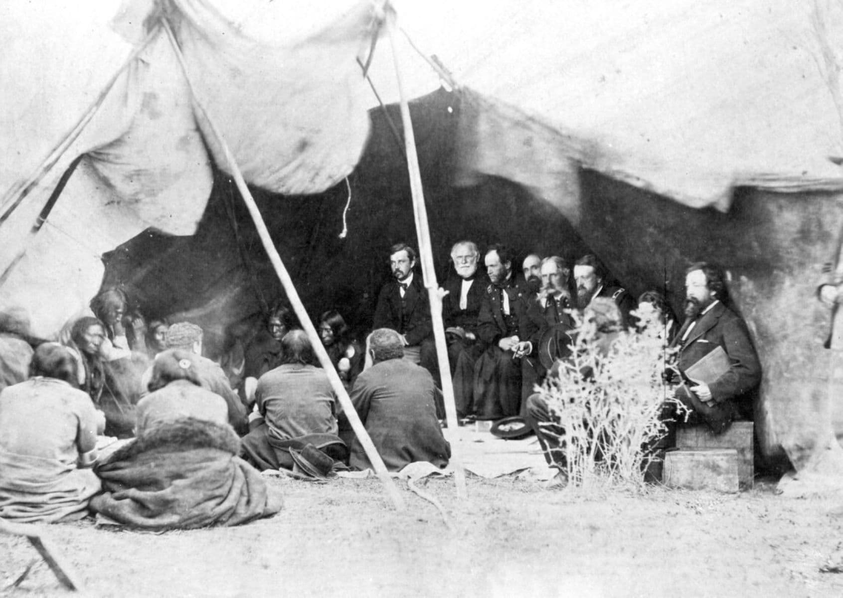
1868 Treaty Field Area
audio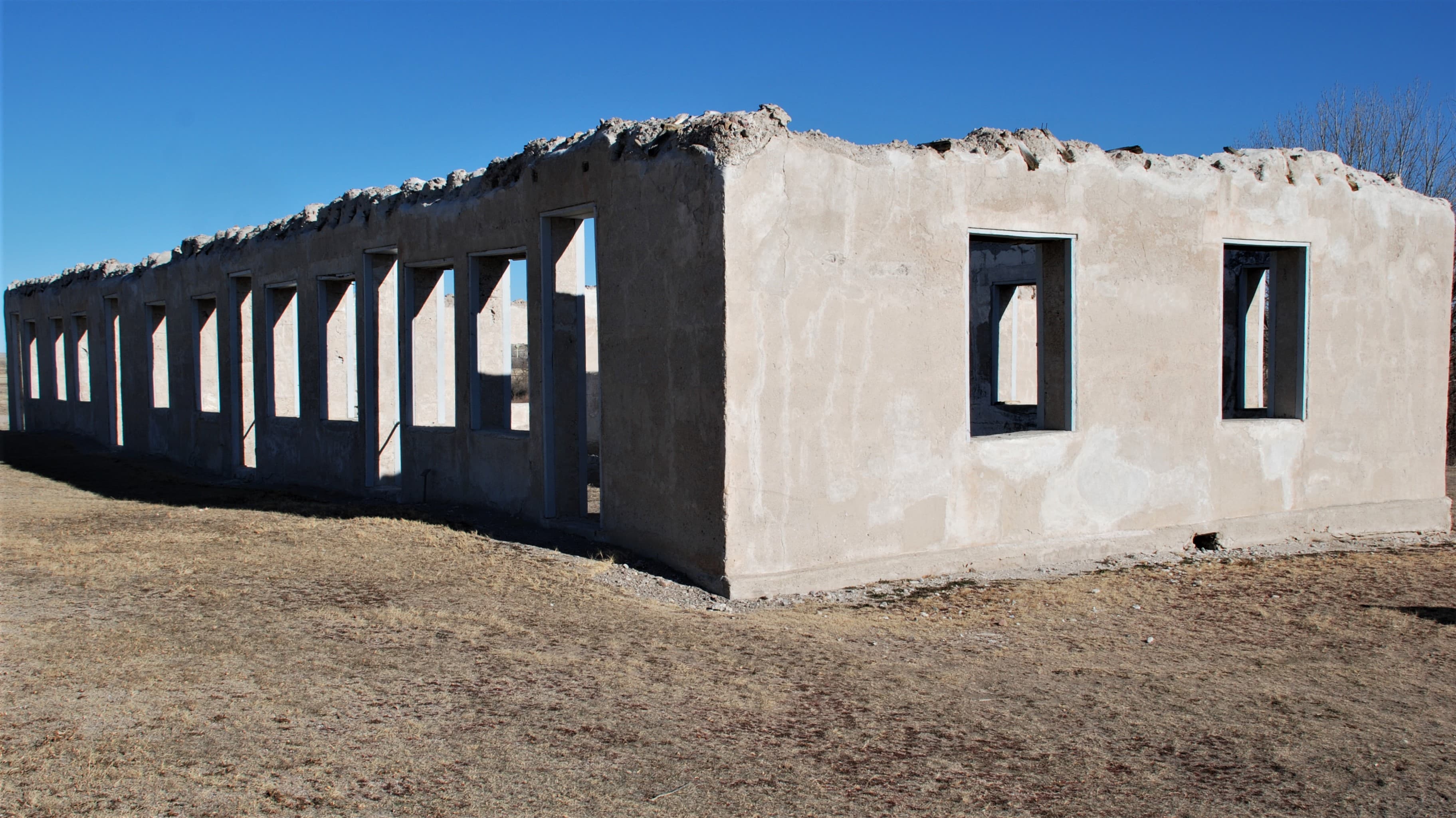
Administration Building Ruins (1885)
audio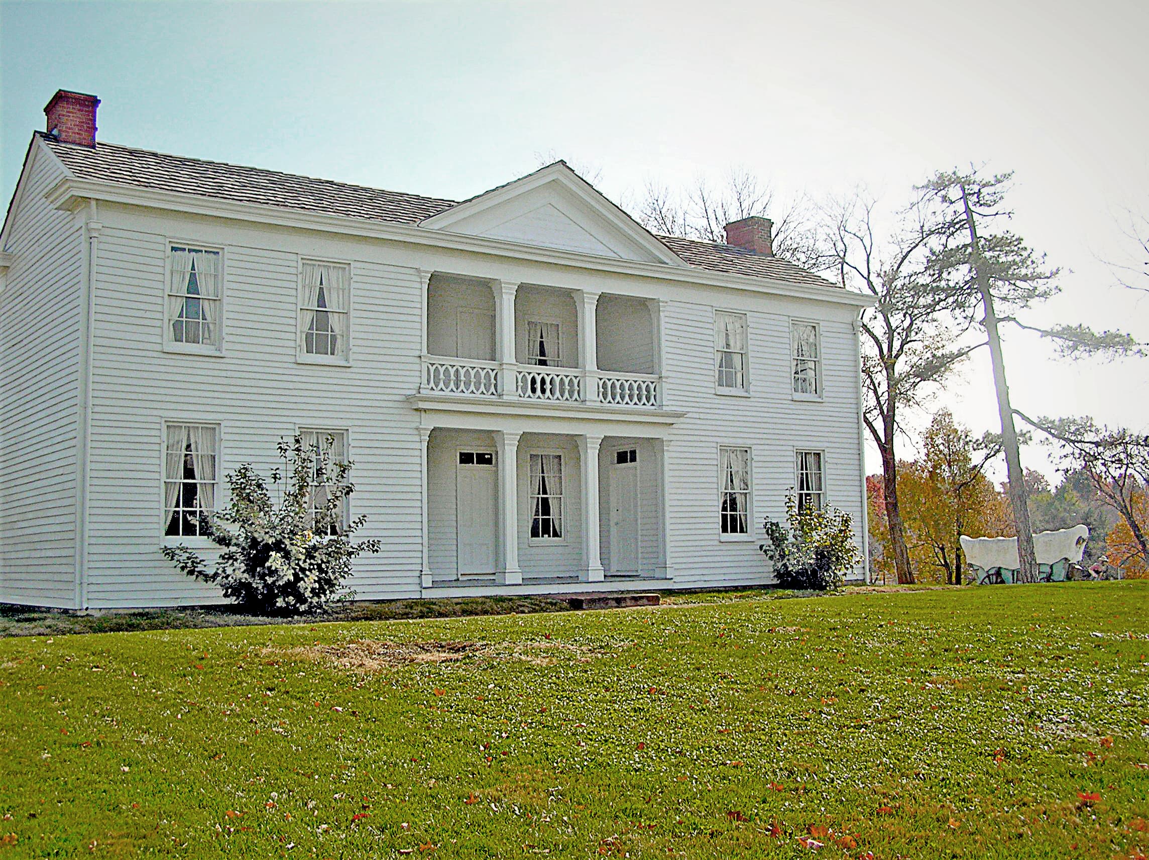
Alexander Majors House
audio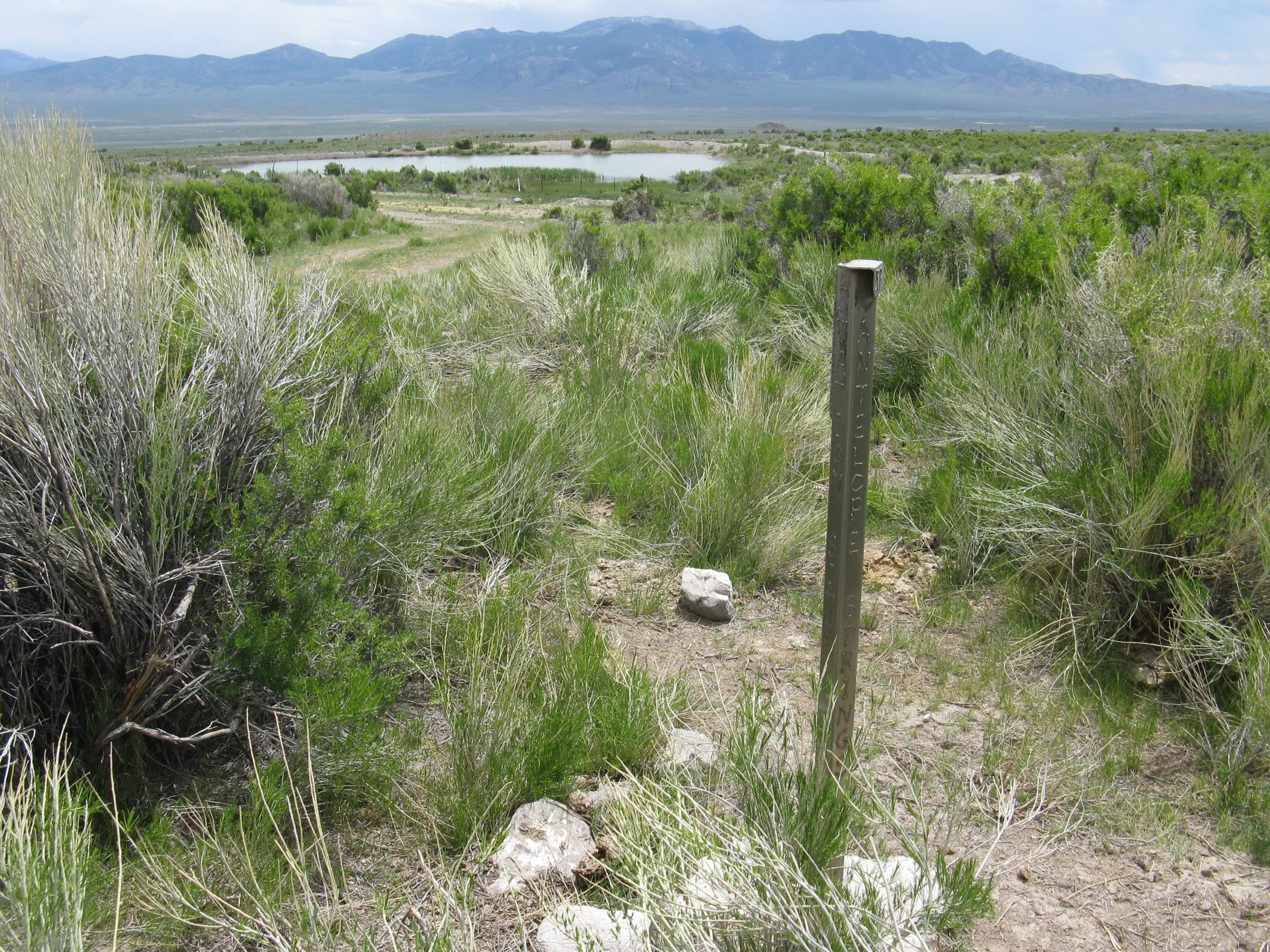
Antelope Spring Station
audio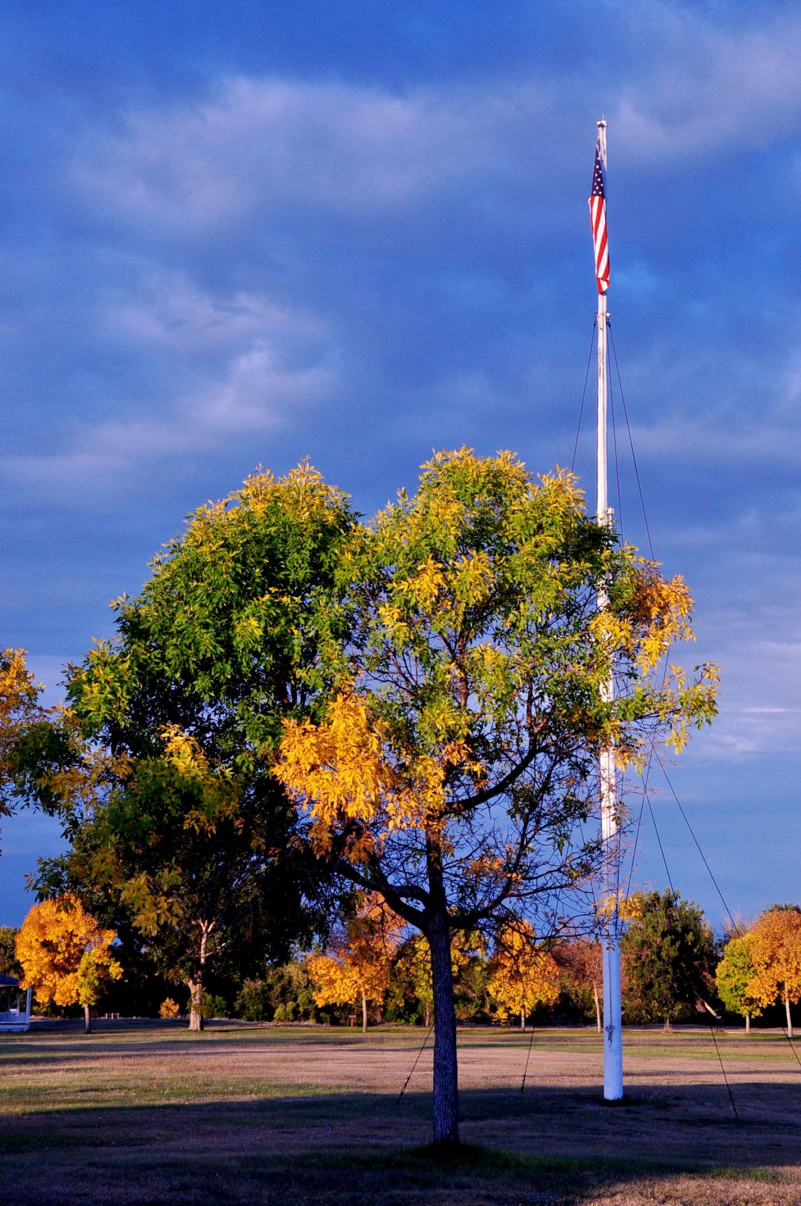
Attack and Fortifications at Fort Laramie
audio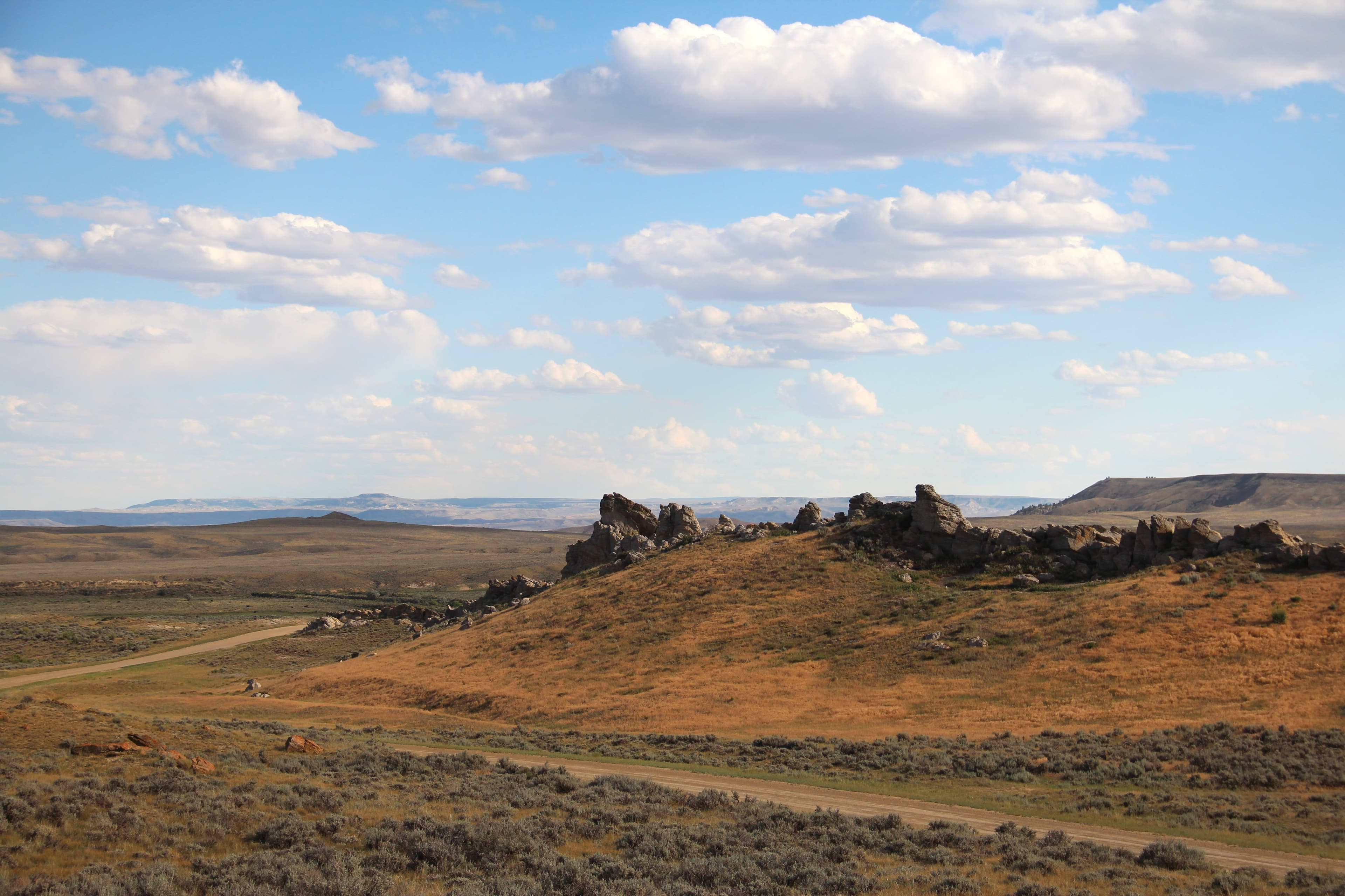
Avenue of Rocks
audio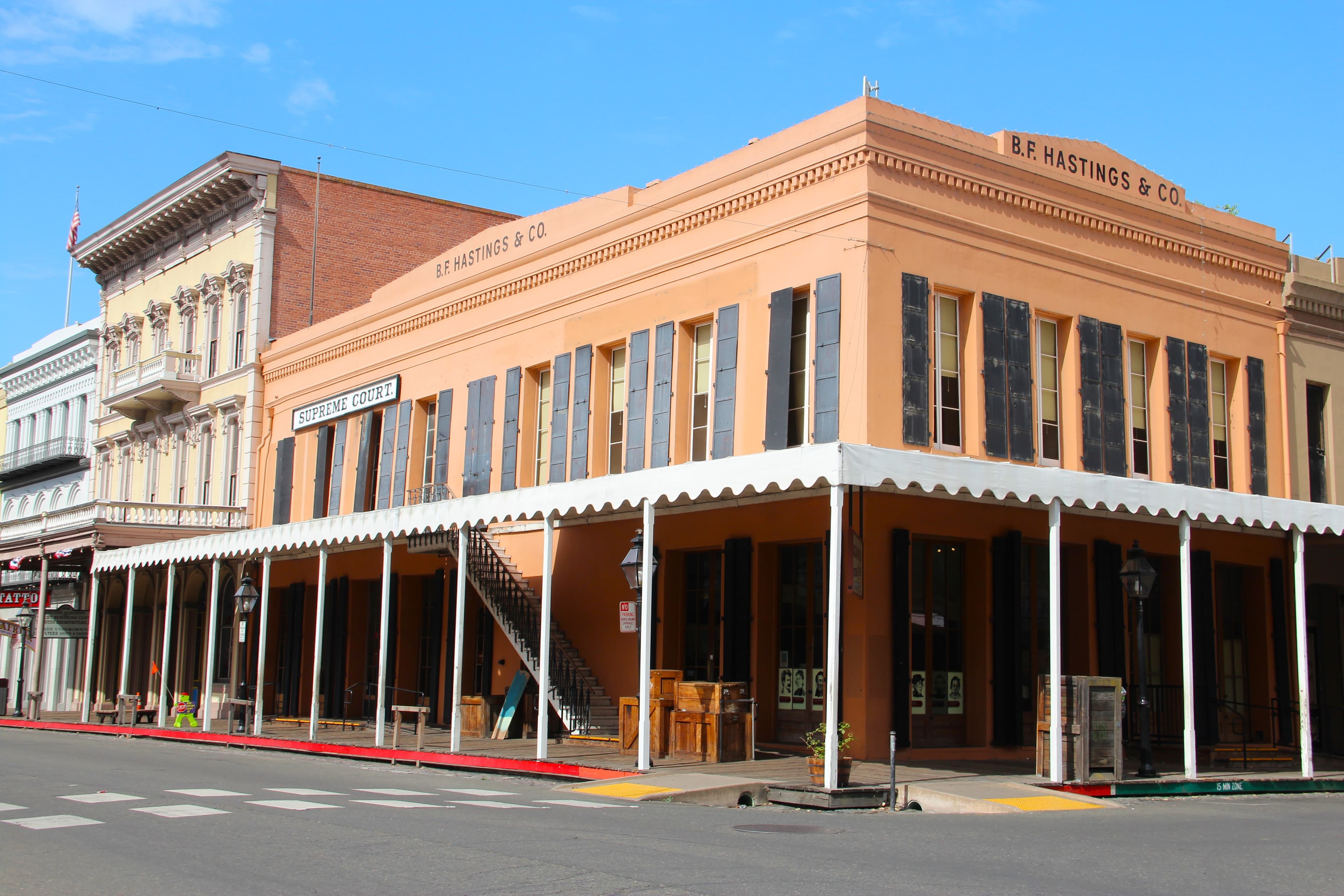
B.F. Hastings Building
audio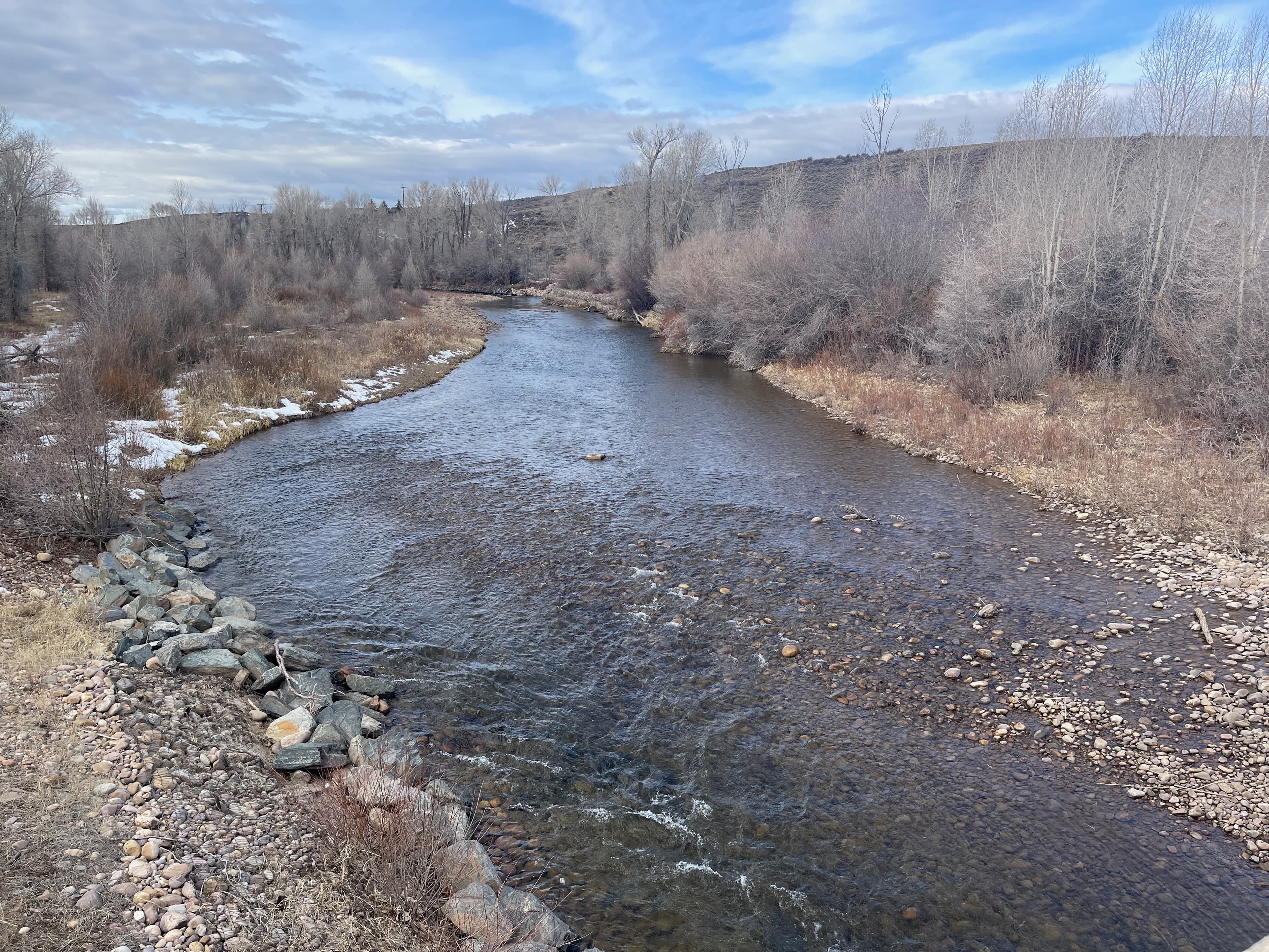
Bear River Crossing - Beartown
audio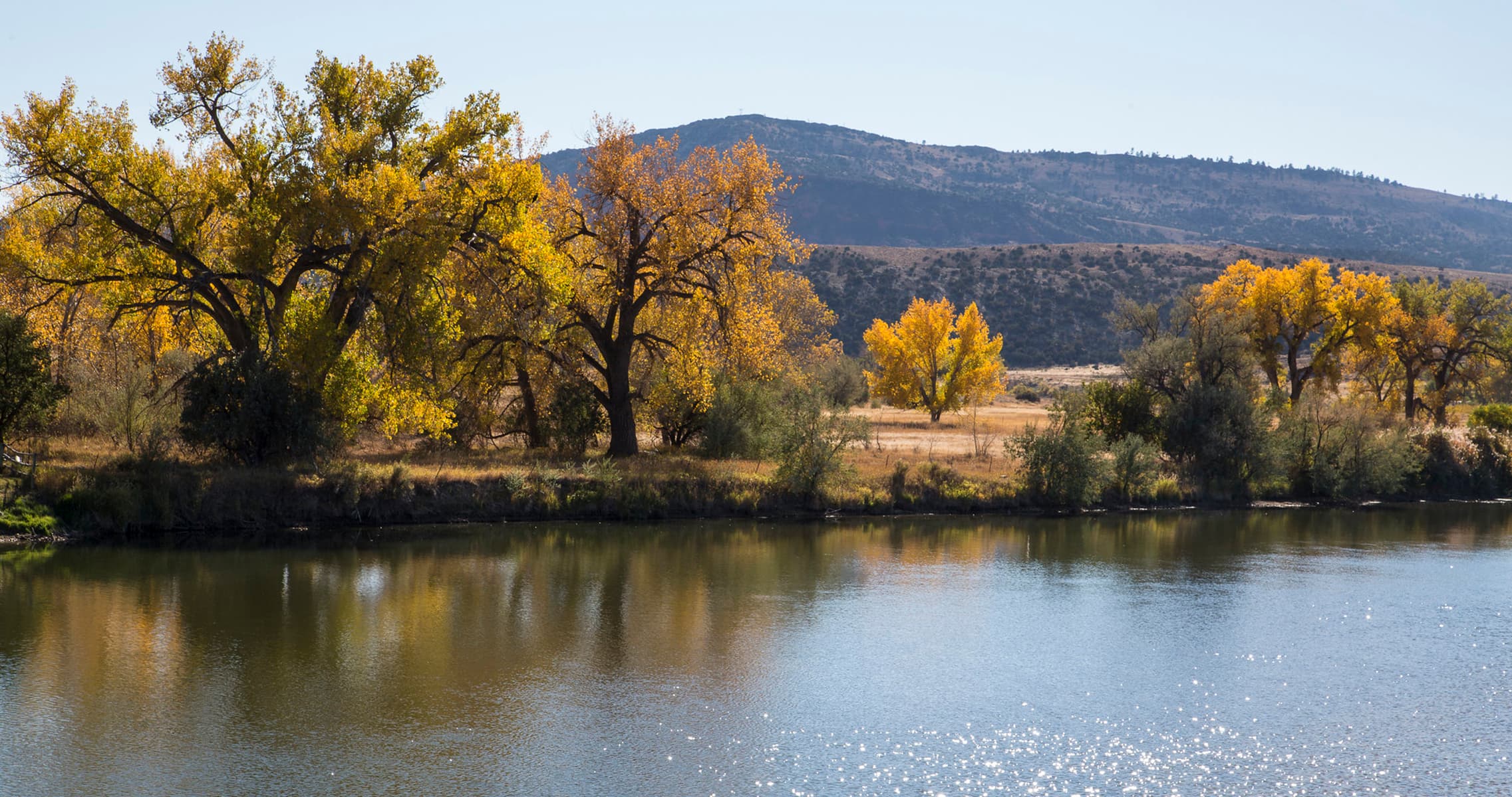
Bessemer Bend National Historic Site
audioAudio & media
🎧
🎬
🖼
Learn more
As American settlers surged westward across the eastern woodlands and prairies in the early 19th century, they pushed American Indians out of their ancestral homes. The U.S. government resettled many of those displaced Eastern tribes —the Kickapoo, Delaware, Potawatomi, and others— in congressionally designated Indian Territory west of the Missouri River and south of the Platte. The resettled Eastern tribes were among the first Indians encountered by emigrants through Kansas.
Two original Pony Express stations still stand, windblown and lonesome, along US 50 between Fallon and Austin, Nevada. In the winter, especially, a visitor can explore those places in solitude and experience a bit of what the Pony riders and station-keepers endured out there some 160 years ago: biting cold and cutting wind.
Download one of these booklets and begin your state by state trail adventure! The Auto Tour Route (ATR) guides provide an overview of local trail history while giving driving directions to suggested points of interest along the trail. There are auto tour route guides available for the trail across MO, KS, NE, CO, WY, UT, and NV.
Learn about the National Historic Trails and earn junior ranger badges! These activities can be completed virtually or after visiting a site along the National Historic Trails. Booklets can be submitted either electronically or by mail. Take a look and start exploring the trails today!
Riding the Pony Express National Historic Trail on an off-road bicycle, such as a gravel or mountain bike, is as close as you can come to seeing and experiencing the original trail as it was back in 1860. Follow along with Scott Alumbaugh as he describes his experiences and tips for planning this epic adventure.
The Pony Express route went through a number of changes over time, to adjust to ground conditions, seasonal weather or other circumstances. Maximum efficiency was a priority. Not all the stations listed were used all of the time. Stations were added or deleted when necessary. Explore the California station listings, from east to west.
The Pony Express route went through a number of changes over time, to adjust to ground conditions, seasonal weather or other circumstances. Maximum efficiency was a priority. Not all the stations listed were used all of the time. Stations were added or deleted when necessary. Explore the Colorado station listings, from east to west.
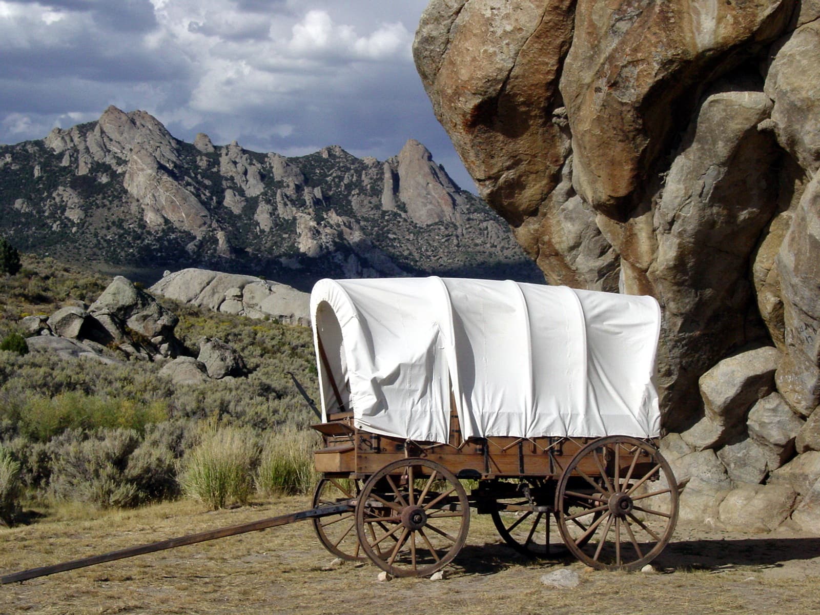
The Rocky Mountains stretch like a jagged spine between Alaska and Mexico, splitting North America into East and West. The Continental Divide is not a simple line of peaks, easily threaded by tracks and roads, but a complex of overlapping mountain ranges and treeless sagebrush steppe, hundreds of miles wide. In the days of covered wagon travel, the Rockies were an imposing barrier to the movement of people, commerce, and communications. South Pass was the gateway to the West.
Ranger School
Park-grounded courses you can learn with the Ranger.
How Pony Express National Historic Trail connects
This park's activities, topics, location, and on-the-ground places — one hop in the graph. Drag to explore; click an activity, topic, or related park to follow it.
Park
Activity
Topic
State
PassportStamp
ThingToDo
Similar parks
Share activities & topics with Pony Express National Historic Trail.