Point Reyes National Seashore
California
Tonight
🌓 65% moon
8.8 h fully dark
Hikes
Easy–Strenuous
🟢 🟡 🔴
Crowds
high
Open today
Open
Entrance
Free entry
Bear Valley Visitor Center Closed on 6/24 Until 3:00pm for Staff Training
The Bear Valley Visitor Center will be closed on Wednesday, June 24th until 3:00 pm for a scheduled staff training. The Visitor Center will resume normal hours after this time.
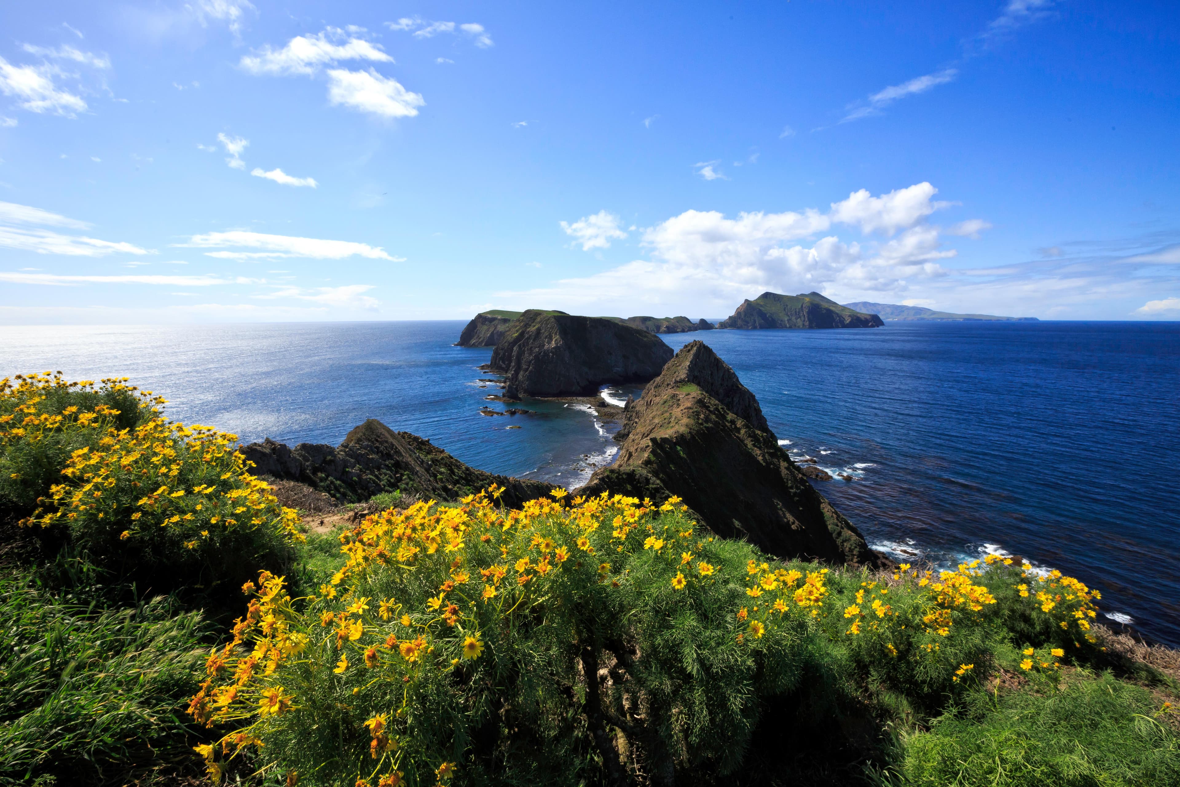
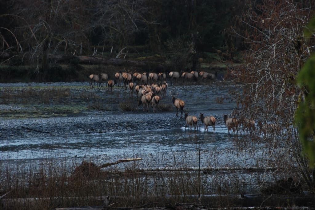
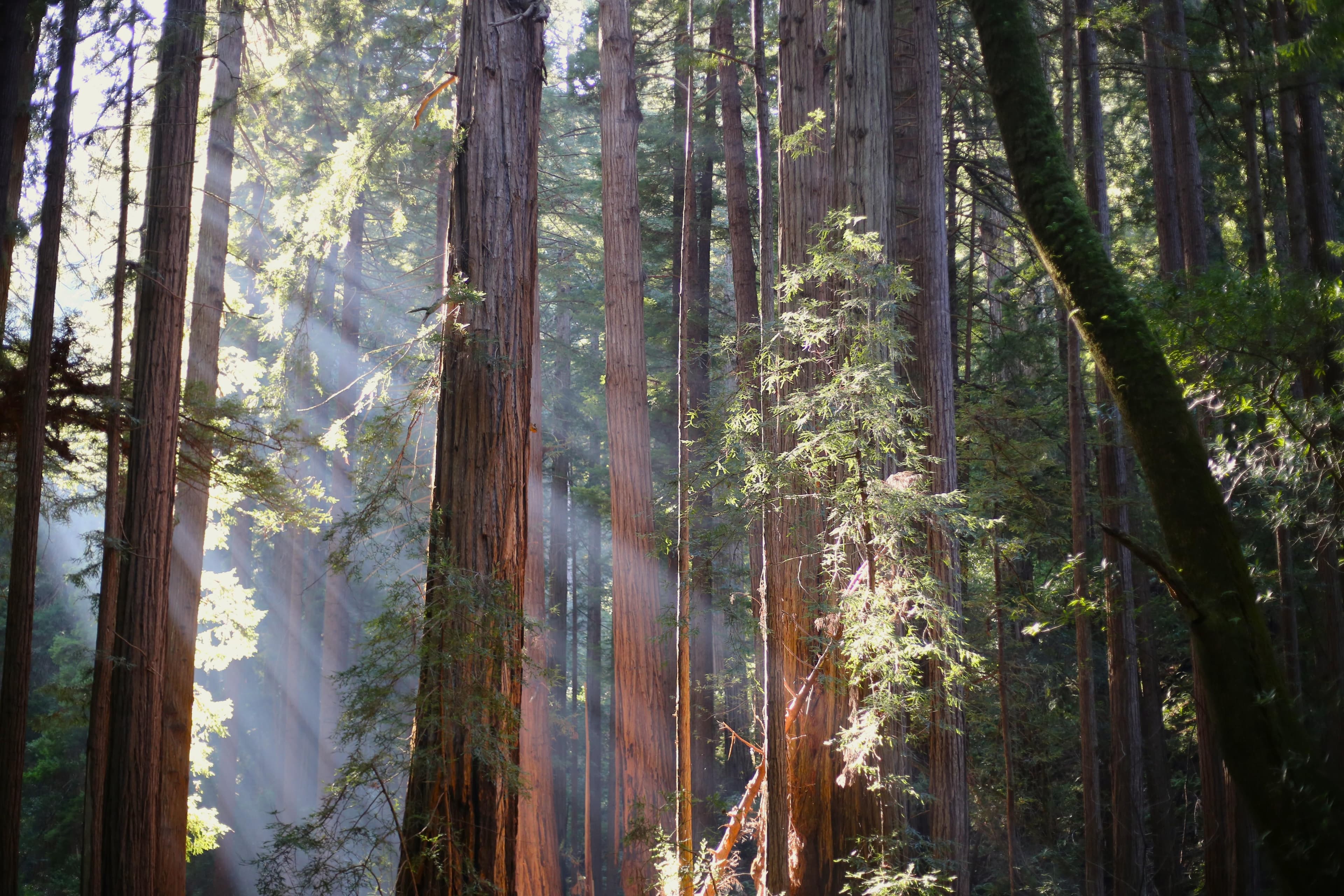
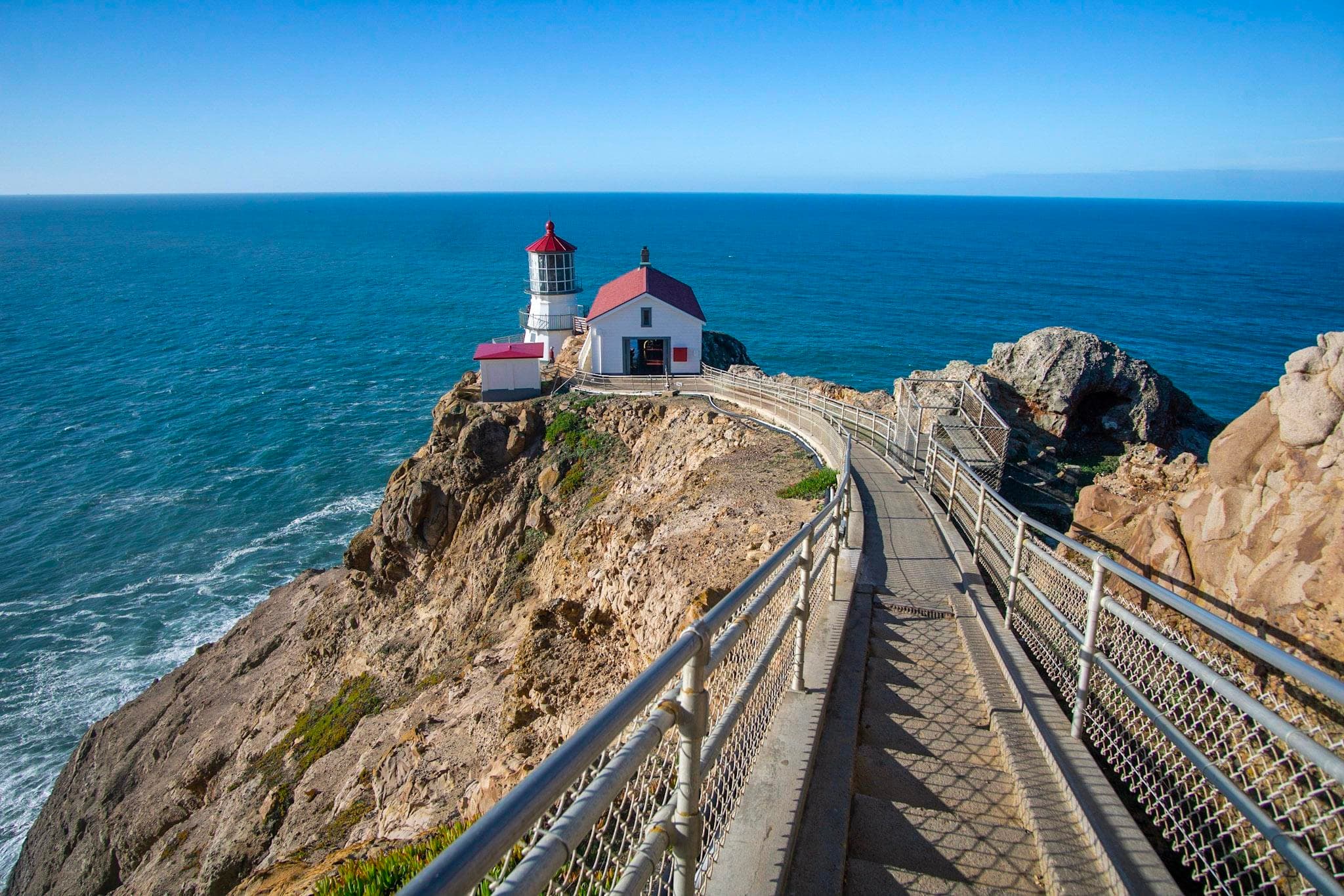
From its thunderous ocean breakers crashing against rocky headlands and expansive sand beaches to its open grasslands, brushy hillsides, and forested ridges, Point Reyes offers visitors over 1500 species of plants and animals to discover. Home to several cultures over thousands of years, the Seashore preserves a tapestry of stories and interactions of people. Point Reyes awaits your exploration.
Activities
Topics
No entrance fee.
Hours & seasons
Point Reyes National Seashore is open to visitors every day of the year! The park is open from 6 am to midnight. (Visit our Visitor Centers web page, for the hours for the Bear Valley Visitor Center, the Kenneth C. Patrick Visitor Center at Drakes Beach, and the Point Reyes Lighthouse and the stairs leading down to the lighthouse.) Overnight parking is only permitted in the park with a valid backcountry camping permit or for visitors staying at the Point Reyes Hostel.
Generally open:
winterspringsummerfallHours are reported by the park — verify before you go.
📞 415-464-5100
✉ pore_info@nps.govConditions
Typical crowds: high
Weather now: ☁️ Overcast, 63°F
🌫️ 63°/54°
🌫️ 61°/54°
🌫️ 67°/54°
Typical monthly recreation visits · NPS avg 2023–2025 — orange months are the quietest by crowds.
Quietest months
Relative crowds by month — lighter is quieter; ringed months are the calmest by crowds.
Jan
75%
Feb
77%
Mar
66%
Apr
73%
May
75%
Jun
90%
Jul
100%
Aug
96%
Sep
98%
Oct
85%
Nov
83%
Dec
74%
Log a sky reading
Measured the sky with an SQM meter or app? Add your reading (16 = city glow … 22 = pristine). Opt in under “Travelers like you” to share it on the community leaderboard.
Live conditions
Things to do
Whale Watching at Point Reyes National Seashore · 10 mi
Hike the Woodward Valley Loop · 13 mi · 1130 ft gain · <p>Allow six to seven hours to hike the Woodward Valley Loop.</p>
Hike to Secret Beach and Skylight Cave · 2.5 mi · 150 ft gain · <p>Allow at least 3 hours to hike to <a href="https://www.nps.gov/pore/planyourvisit/secret-beach-skylight-cave.htm">Secret Beach and Skylight Cave</a> from the <a href="https://www.nps.gov/places/point-reyes-limantour-beach.htm">Limantour Beach</a> parking lot, 3.5 hours from the <a href="https://www.nps.gov/places/point-reyes-laguna-trailhead.htm">Laguna Trailhead</a>, or 4.5 hours from the <a href="https://www.nps.gov/places/point-reyes-coast-trailhead.htm">Coast Trailhead</a>.</p>
Bike the Bear Valley Trail to the Glen Trail Junction · 6.2 mi · <p>Allow one hour to ride from the Bear Valley Trailhead to the Glen Trail Junction and back. Allow an additional two hours to hike roundtrip from the Glen Trail Junction to Kelham Beach and back to your bikes.</p>
Bike the Estero Trail · 2.2 mi · <p>The routes described on this page are out-and-back hikes.</p> <ul> <li>Allow ~30 minutes to ride to and from the footbridge at Home Bay.</li> <li>Allow ~1 hour to ride to and from the junction of the Estero Trail and Sunset Beach Trail.</li> <li>Allow ~2 hours to ride to and from Sunset Beach</li> <li>Allow ~2.5 hours to ride to and from Drakes Head.</li> <li>Allow ~3 hours to ride to and from both Drakes Head and Sunset Beach.</li> </ul> <p>Allow for more time to watch for birds and other wildlife or to botanize.</p>
🟢 Bike to Wildcat Campground · 13.4 mi · 1324 ft gain · <p>Allow 3 to 5 hours to ride a bike to Wildcat Beach and back. Allow for more time to relax and/or explore Wildcat Beach.</p>
🟡 Bike to Sky Campground · 2.8 mi · <p>Allow 30 to 60 minutes to ride to Sky Campground and back.</p>
🟢 Hike to Alamere Falls · 13 mi · 40 ft gain · <p>Allow at least 6.5 hours to hike from the <a href="https://www.nps.gov/places/point-reyes-palomarin-trailhead.htm">Palomarin Trailhead</a> to <a href="https://www.nps.gov/places/point-reyes-alamere-falls.htm">Alamere Falls</a> or 7.5 hours from either the <a href="https://www.nps.gov/places/point-reyes-bear-valley-trailhead.htm">Bear Valley Trailhead</a> or the <a href="https://www.nps.gov/places/point-reyes-five-brooks-trailhead.htm">Five Brooks Trailhead</a> to Alamere Falls.</p>
Campgrounds
Coast Campground ↗ · 14 sites
Glen Campground ↗ · 12 sites
Sky Campground ↗ · 12 sites
Tomales Bay Boat-in Camping ↗ · 20 sites
Wildcat Campground ↗ · 8 sites
Visitor centers
Bear Valley Visitor Center
Kenneth C. Patrick Visitor Center
Point Reyes Lighthouse Visitor Center
Accessibility
66 audio-described place(s)
Reported by the park — verify before you go.
Parking
Abbotts Lagoon Trailhead Parking Lot · 40 accessible spacesaccessible
Bayview Trailhead Parking Lot · 20 accessible spaces
Bear Valley Bus/RV/Trailer Parking Lot · 20 accessible spaces
Bear Valley Trailhead Parking Lot · 210 accessible spaces
Bear Valley Visitor Center Parking Lot · 52 accessible spacesaccessibleEV charging
Bolinas Ridge Trailhead Roadside Parking · 25 accessible spaces
Bull Point Trailhead Parking Lot · 10 accessible spaces
Chimney Rock Parking Lot · 20 accessible spacesaccessible
Coast Trailhead Roadside Parking · 15 accessible spaces
Commonweal Entrance Parking Lot · 40 accessible spaces
Cross Marin Trailhead Roadside Parking · 20 accessible spaces
Drakes Beach Parking Lot · 300 accessible spacesaccessible
Not an official safety source — always defer to NPS.gov and rangers for life-safety decisions.
By the numbers
A visual read on Point Reyes National Seashore — its character, trails, sky, and weather.
Park fingerprint
How this park scores across the dimensions travelers care about.
Trail difficulty
Difficulty mix across this park's trails.
Trail profile
Each dot is a trail — distance vs. elevation gain, by difficulty.
3-day forecast
Daily high and low temperatures (°F).
People & stories
Figures tied to Point Reyes National Seashore — each spans a cross-park journey.
Sarah Seaver Randall
— Women's History, Olema Valley, GgnraSir Francis Drake
— Battle Of San Juan, Caribbean, Castillo De San MarcosPassport stamps
Mark the stamps you've collected — they show in your memory and along your routes.
🎫 Bear Valley Visitor Center
🎫 Kenneth C. Patrick Visitor Center
🎫 Point Reyes Lighthouse Visitor Center
Places to see
Abbotts Lagoon Beach
audio
Abbotts Lagoon Trailhead
audio
Alamere Falls at Point Reyes National Seashore
audio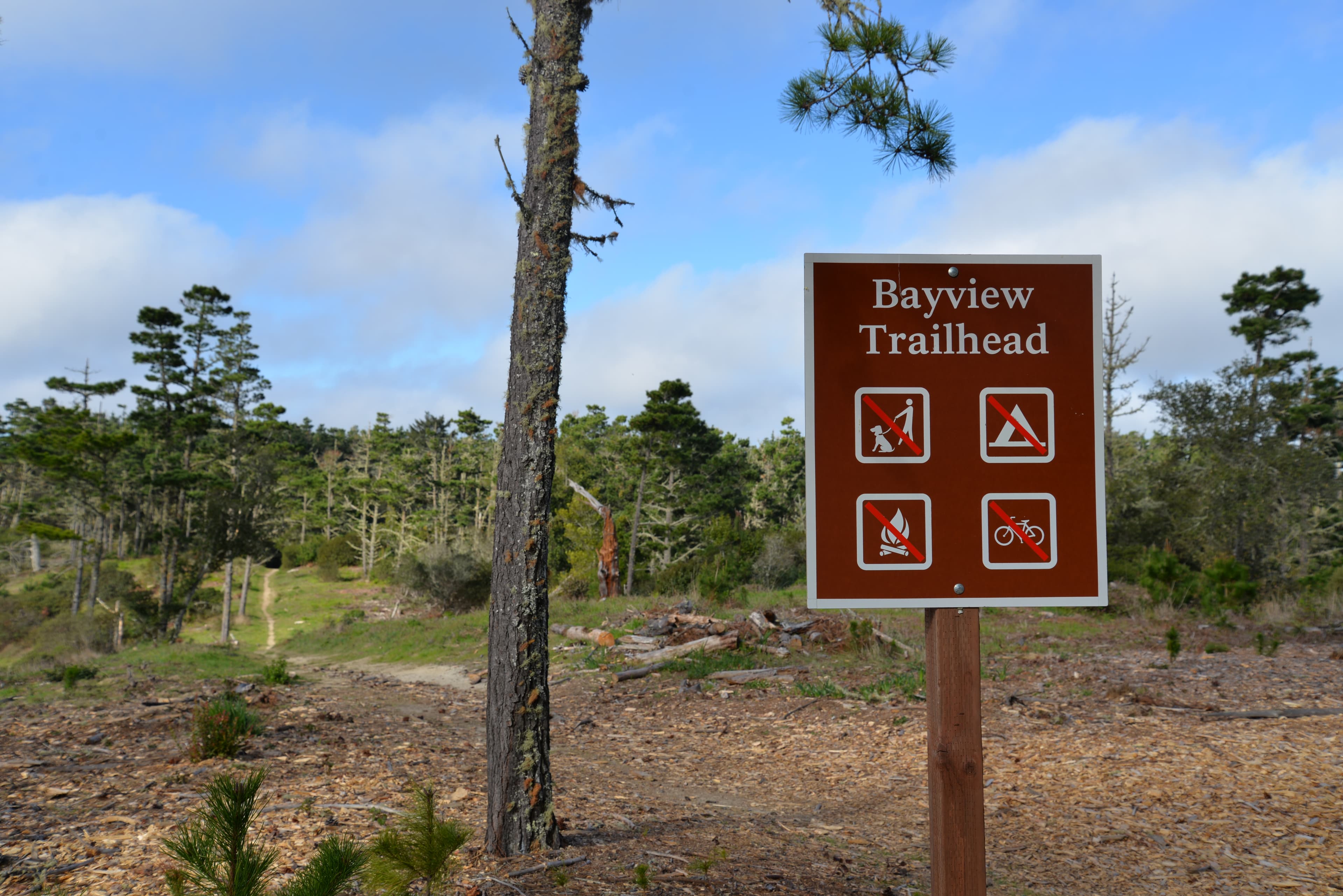
Bayview Trailhead
audio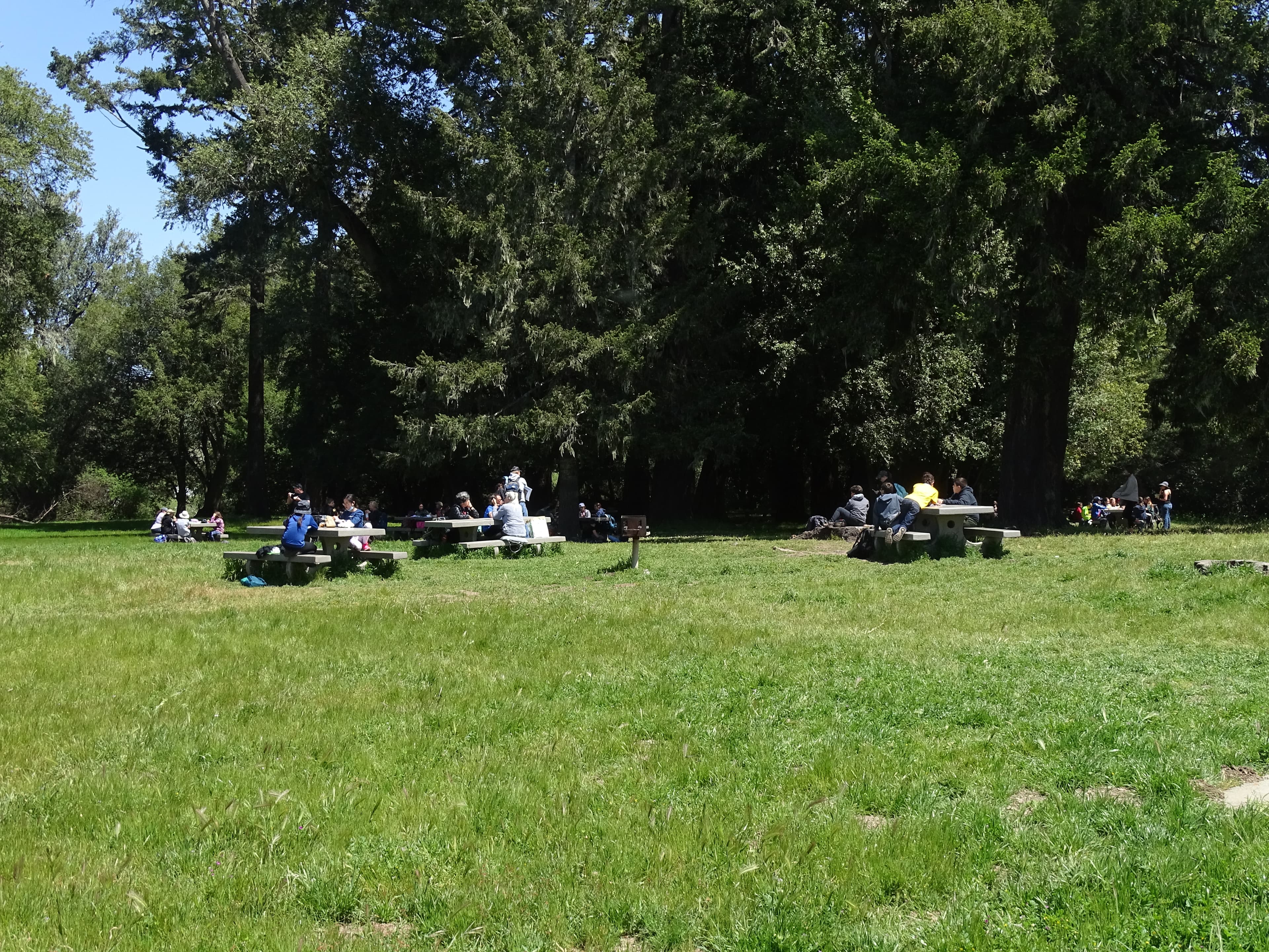
Bear Valley Picnic Area
audio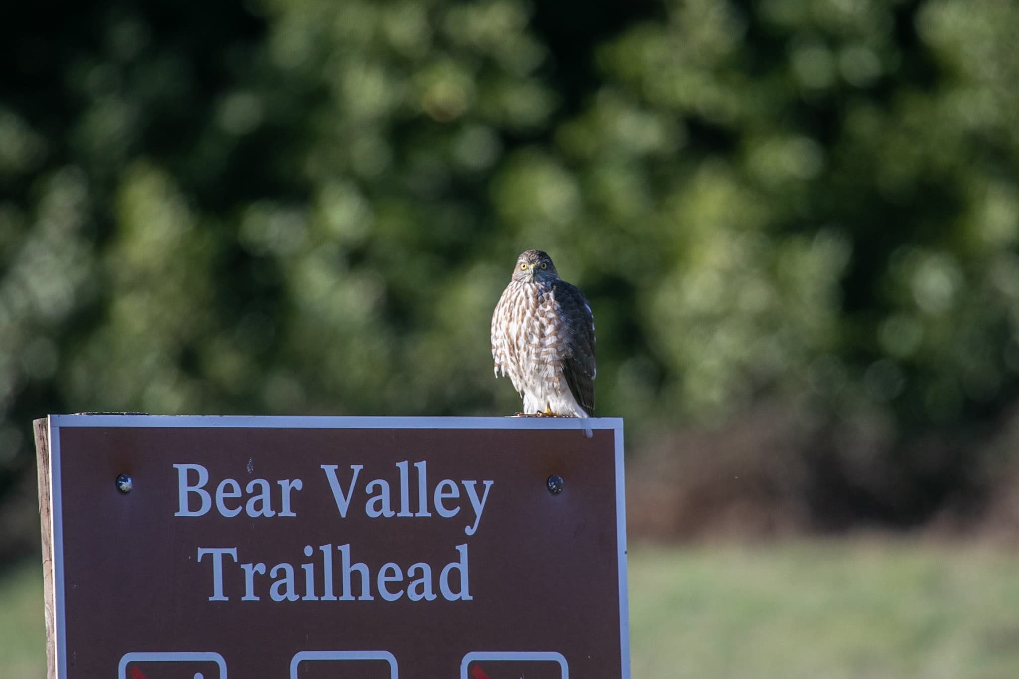
Bear Valley Trailhead
audio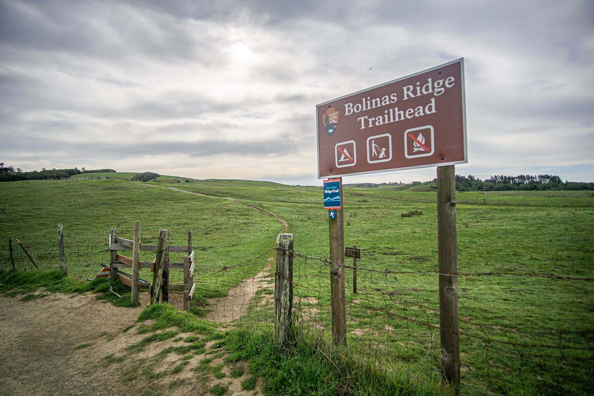
Bolinas Ridge Trailhead
audio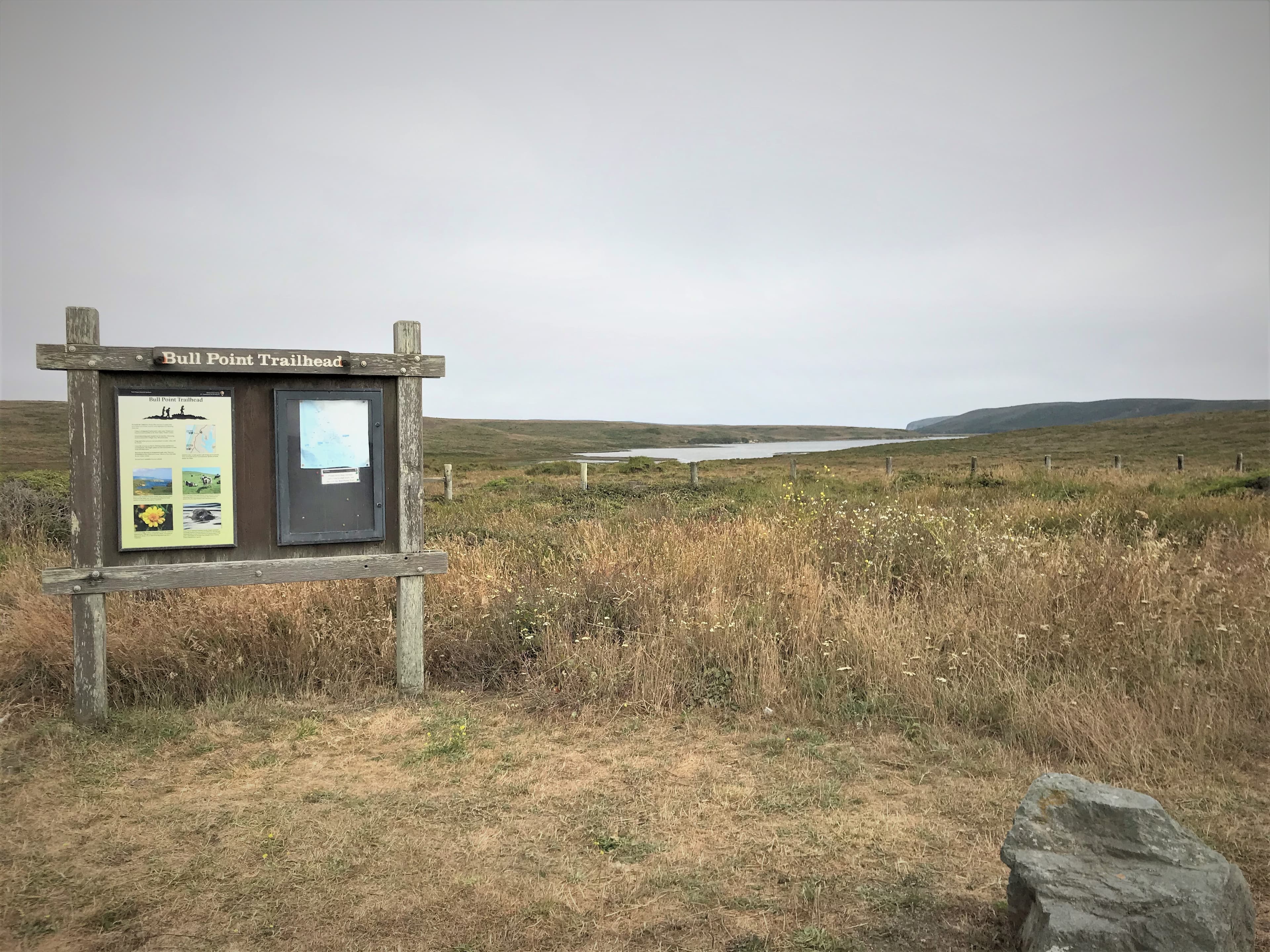
Bull Point Trailhead
audio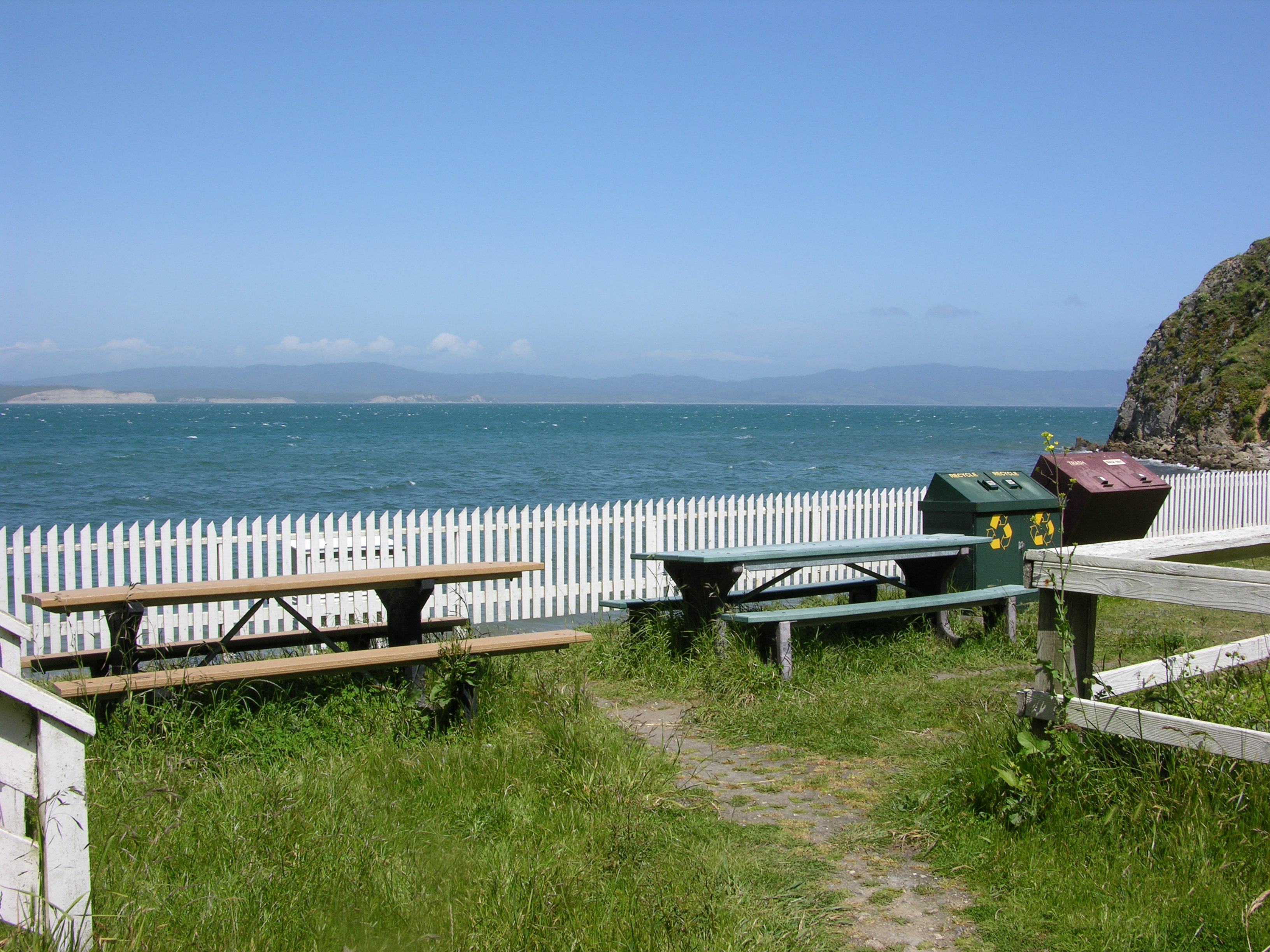
Chimney Rock Boathouse Picnic Area
audio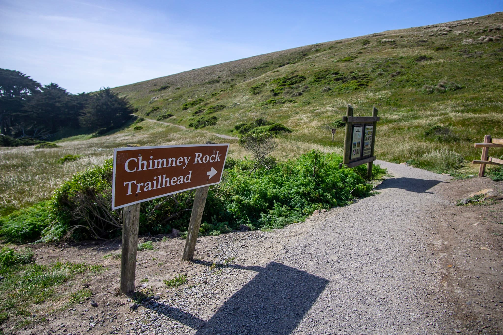
Chimney Rock Trailhead at Point Reyes
audio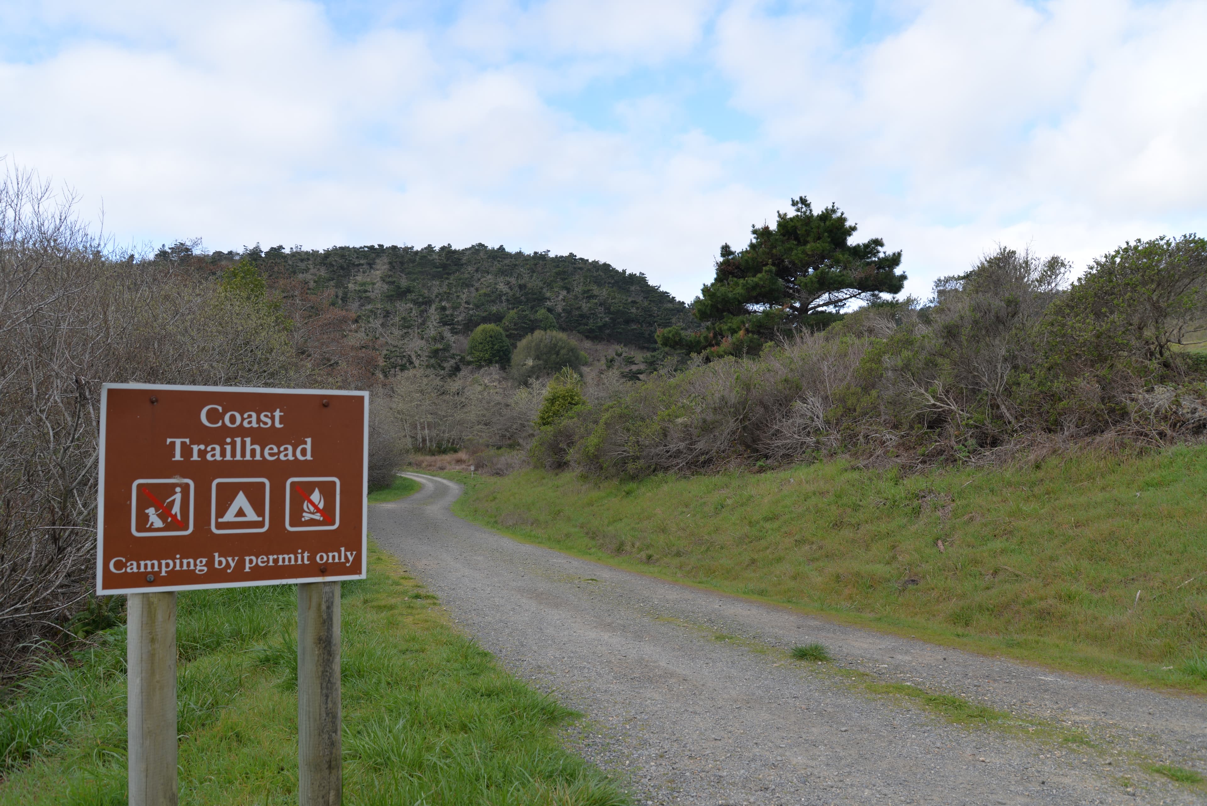
Coast Trailhead
audio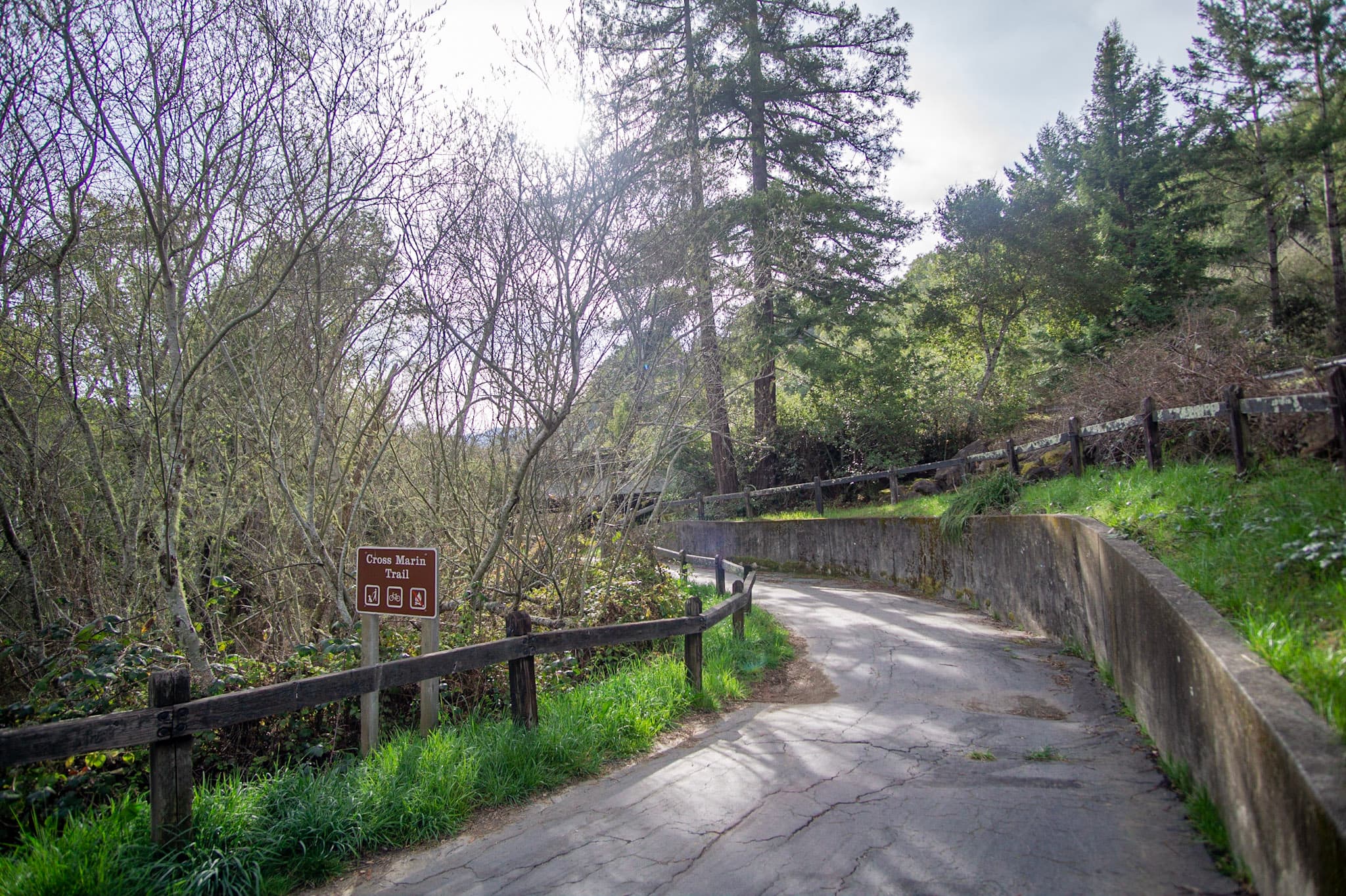
Cross Marin Trailhead
audioAudio & media
Learn more
As a result of this El Niño, heavy surf and rains severely eroded beaches and fragile sea cliffs in coastal California. National Park System units in California affected by the 1982–1983 El Niño event were Point Reyes National Seashore, Golden Gate National Recreation Area, and Pinnacles National Monument.
Wind-driven waves and abnormally high sea levels contributed to hundreds of millions of dollars in flood and storm damage in the San Francisco Bay region, including Point Reyes National Seashore, Golden Gate National Recreation Area, and Pinnacles National Monument. In addition to California, the 1997–1998 El Niño and the following 1998–1999 La Niña severely impacted the Pacific Northwest, including many National Park System units.
Recipients of the 2012 NPS Environmental Achievement Awards
The peak harbor seal pup count for the 2017 breeding season was approximately 745 pups, which is similar to the 17-year average. There was also very low pup mortality recorded at all monitoring sites. The sites with the largest pup counts were Drakes Estero and Bolinas Lagoon. The maximum count of molting seals across all sites was also similar to the 17-year average.
The San Francisco Bay Area Inventory and Monitoring Network’s Coho and Steelhead Monitoring Program has preliminary results from this year’s summer monitoring. Also, winter spawner monitoring is now underway. While the water is still too low for migrating fish on Olema and Redwood Creeks, partner groups have recorded some surprising salmon sightings on Lagunitas Creek.
The 2017 Western Snowy Plover breeding season in Point Reyes National Seashore is on its last stretch! Although the plover monitoring team has had a lot of excitement this week with four new nest hatches, the season appears to be slowing down. Winter flocks are already beginning to form and only one new nest has been found in the past two weeks.
Spring smolt trapping surveys are complete on both Redwood and Olema Creeks. The 41 endangered coho salmon smolts captured on Olema Creek represented much lower numbers than anticipated, and the second lowest year on record since smolt trapping began here in the spring of 2004. Results from Redwood Creek were more promising.
Early January saw enough rainfall for adult coho salmon and steelhead trout to reach their stream spawning habitats. Despite this long wait, the coho and steelhead spawning run in both Olema and Redwood Creeks was larger than anticipated, even when factoring out the addition of hatchery-released coho in Redwood Creek.
Ranger School
Park-grounded courses you can learn with the Ranger.
How Point Reyes National Seashore connects
This park's activities, topics, location, and on-the-ground places — one hop in the graph. Drag to explore; click an activity, topic, or related park to follow it.
Park
Activity
Topic
State
Campground
VisitorCenter
PassportStamp
ParkingLot
Trail
ThingToDo
Alert
Similar parks
Share activities & topics with Point Reyes National Seashore.