Appalachian National Scenic Trail
Maine, Massachusetts, New York, Pennsylvania, Georgia, Tennessee, Maryland, Connecticut, North Carolina, New Hampshire, New Jersey, Virginia, Vermont, West Virginia
Tonight
🌓 65% moon
8.7 h fully dark
Crowds
very high
Open today
Open
Entrance
Free entry
List of trail closures post-Hurricane Helene
Many closures remain on the Trail following Hurricane Helene's devastation. This will remain true for the foreseeable future. Visit the Appalachian Trail Conservancy (ATC) website for an up-to-date list of closures. OBSERVE ALL CLOSURES. Stay safe!
Official NPS alert →Black Bears Frequenting the McAfee Knob Area in Virginia
Human-habituated bears have been frequently spotted in the McAfee Knob Area. Allowing bears access to human food or garbage causes it to lose its fear of humans. Follow all food storage regulations, use provided food lockers and never feed a bear.
Official NPS alert →The Appalachian Trail is a 2,190+ mile long public footpath that traverses the scenic, wooded, pastoral, wild, and culturally resonant lands of the Appalachian Mountains. Conceived in 1921, built by private citizens, and completed in 1937, today the trail is managed by the National Park Service, US Forest Service, Appalachian Trail Conservancy, numerous state agencies and thousands of volunteers.
Activities
Topics
No entrance fee.
Hours & seasons
In general, the Appalachian Trail is open year-round. The northern terminus at Mount Katahdin in Maine is within Baxter State Park, which may be closed in winter months, depending on weather conditions. Particular sections of the Trail, and less-developed roads accessing the Trail, may be closed temporarily for a number of reasons, but otherwise the trail is open.
Generally open:
winterspringsummerfallHours are reported by the park — verify before you go.
📞 3045356278
✉ 0@0Conditions
Quietest months (fewer crowds): Jan, Feb
Typical crowds: very high
Weather now: 🌧️ Rain, 70°F
🌧️ 71°/64°
🌧️ 67°/60°
🌧️ 59°/50°
Typical monthly recreation visits · NPS avg 2023–2025 — orange months are the quietest by crowds.
Quietest months
Relative crowds by month — lighter is quieter; ringed months are the calmest by crowds.
Jan
50%
Feb
43%
Mar
62%
Apr
71%
May
92%
Jun
92%
Jul
100%
Aug
99%
Sep
73%
Oct
93%
Nov
62%
Dec
54%
Log a sky reading
Measured the sky with an SQM meter or app? Add your reading (16 = city glow … 22 = pristine). Opt in under “Travelers like you” to share it on the community leaderboard.
Things to do
Multi-Park Loop · 10 mi
Visit The Point at Harpers Ferry
Visit John Brown's Fort
Visit Jefferson Rock · <p>The walk from Shenandoah Street in Lower Town to Jefferson Rock averages about 15 minutes due to elevation change and points of interest along the way.</p> <p>The 30 minute minimum duration of visiting Jefferson Rock factors in the walking time and thus the minimum visit would be to walk to area, take a photo, and walk back.</p>
Visitor centers
Appalachian Trail Conservancy - Damascus Trail Center
Appalachian Trail Conservancy - Harper's Ferry Visitor Center
Appalachian Trail Conservancy - Monson Visitor Center
Accessibility
7 audio-described place(s)
Reported by the park — verify before you go.
Not an official safety source — always defer to NPS.gov and rangers for life-safety decisions.
By the numbers
A visual read on Appalachian National Scenic Trail — its character, trails, sky, and weather.
Park fingerprint
How this park scores across the dimensions travelers care about.
Trail difficulty
Difficulty mix across this park's trails.
3-day forecast
Daily high and low temperatures (°F).
Places to see

Appalachian Trail Conservancy
audio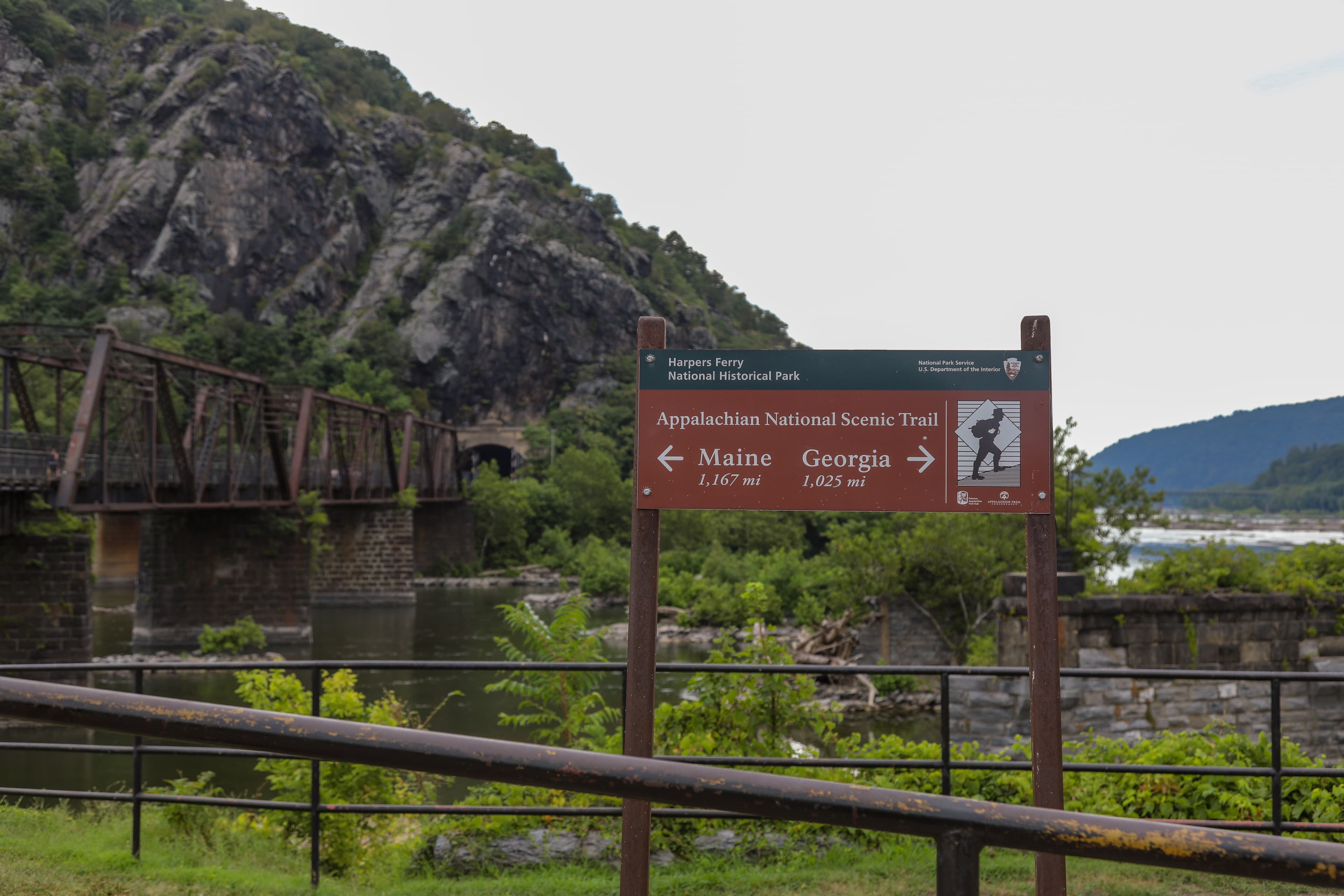
Appalachian Trail Trailhead at The Point
audio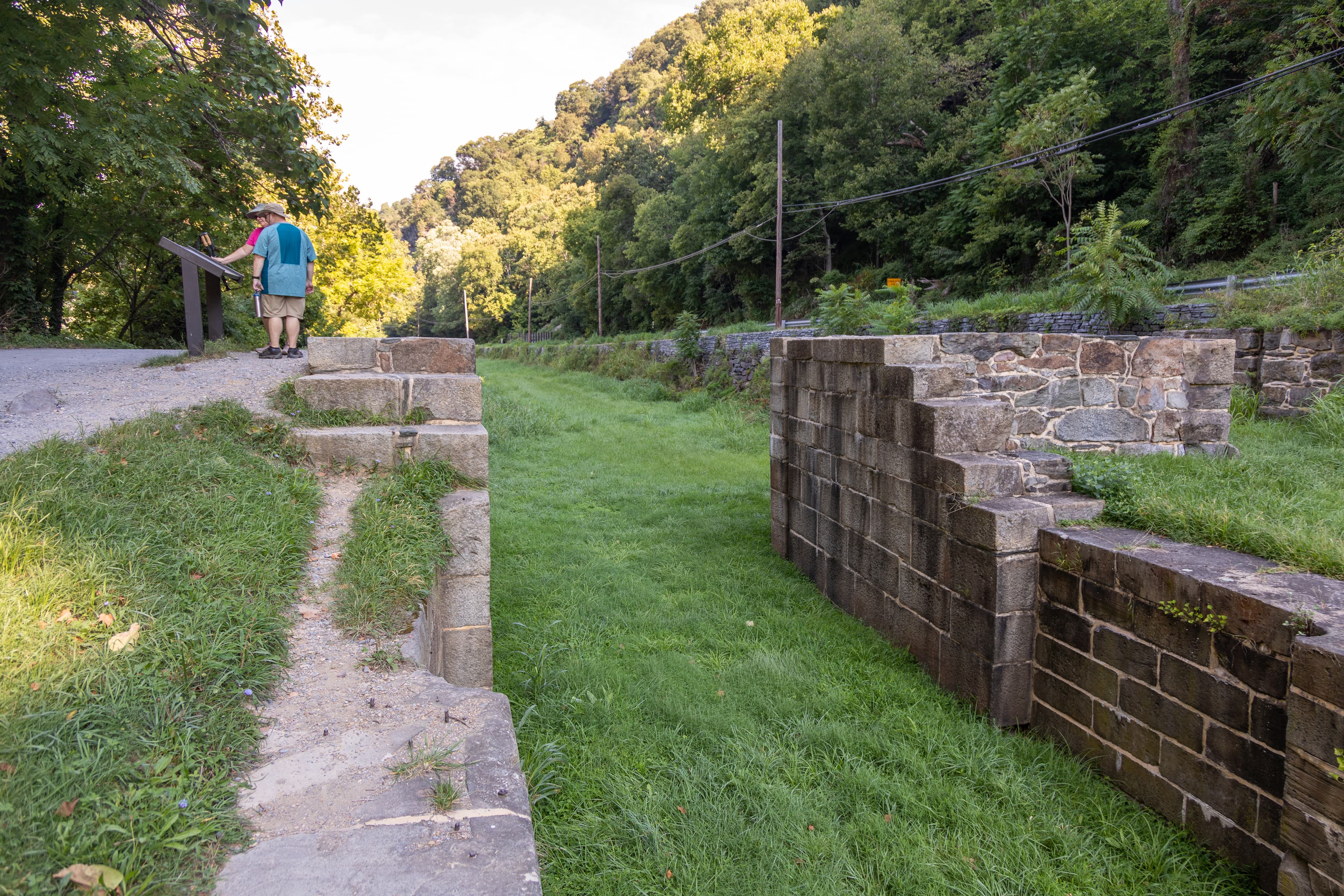
C&O Canal Lock 33
audio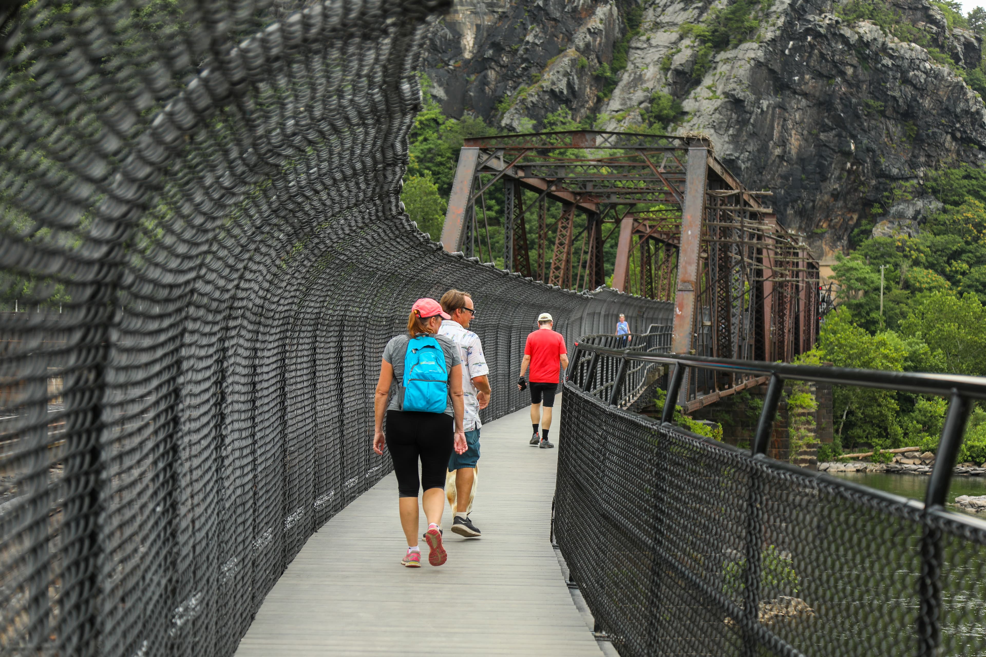
Footbridge to C&O and Maryland Heights
audio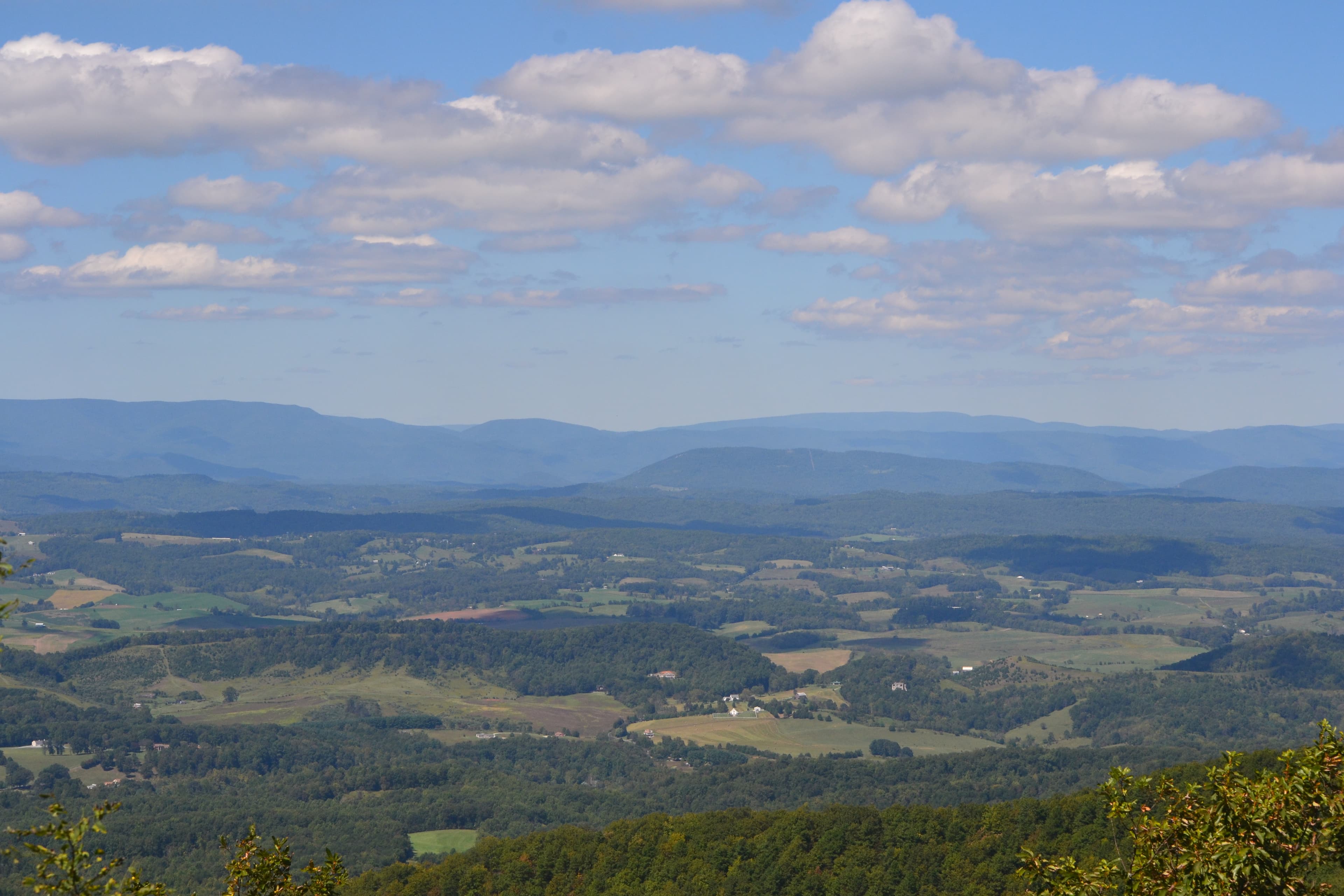
Harvey's Knob Overlook
audio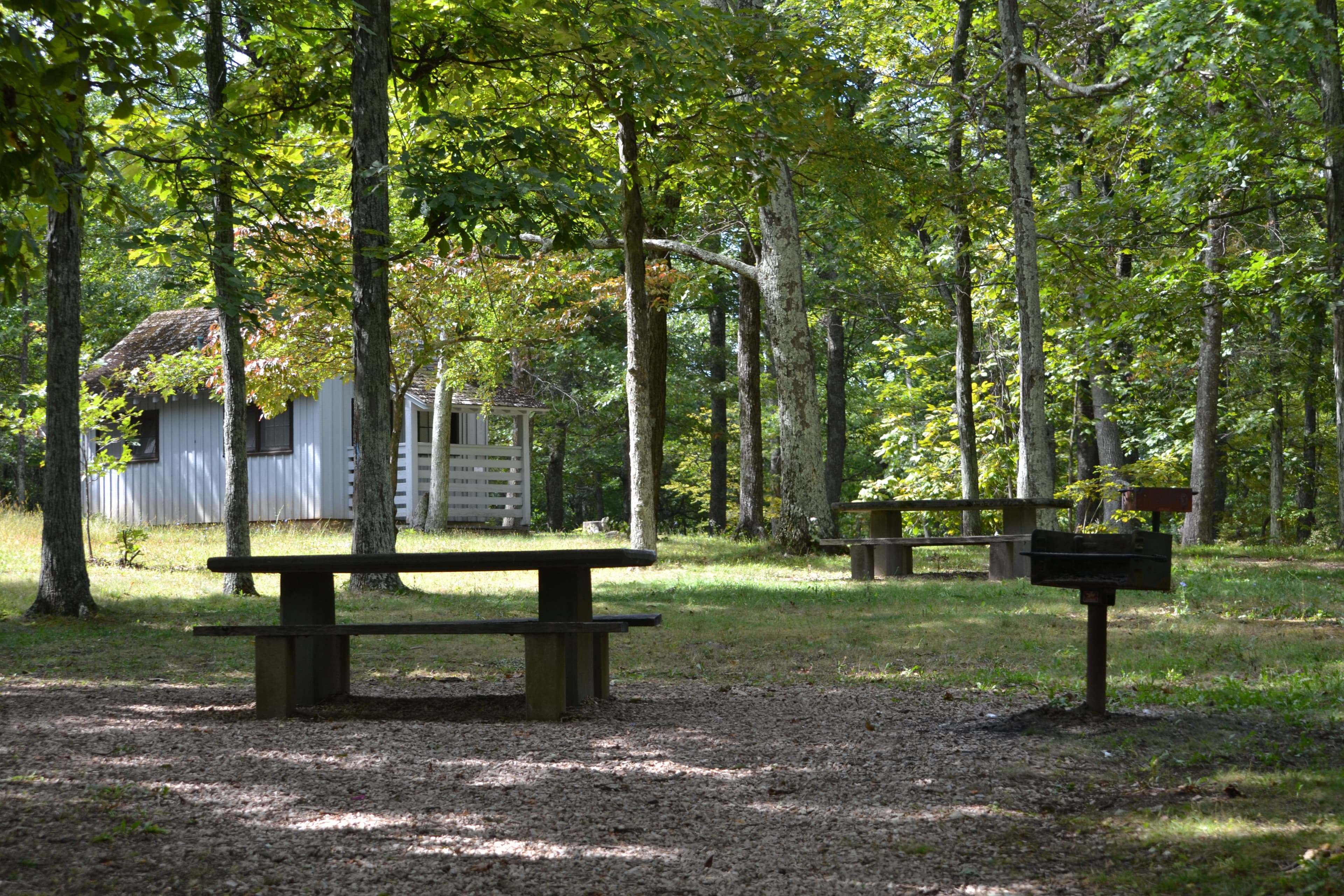
Humpback Rocks Picnic Area
audio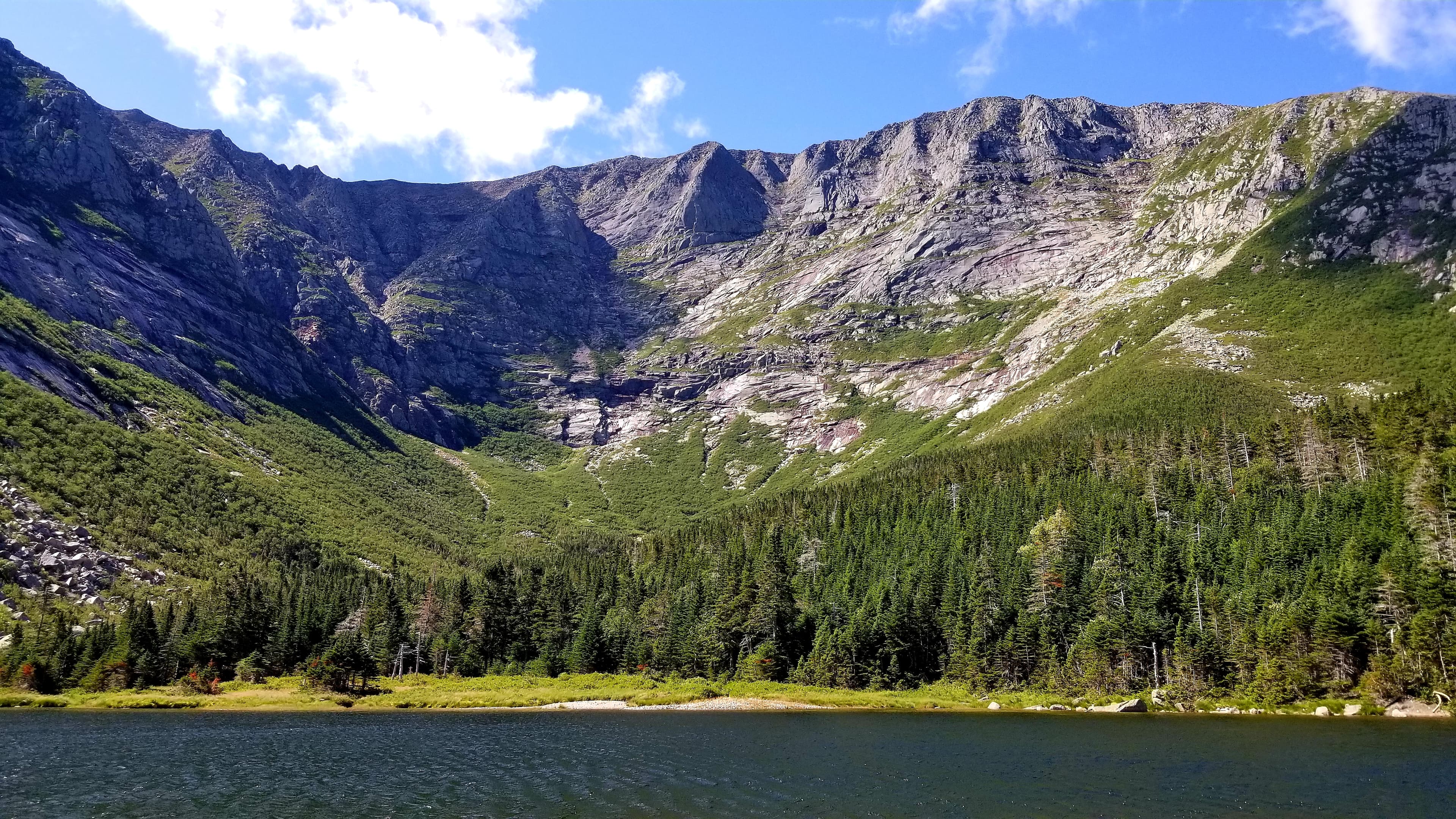
Katahdin - Located in Baxter State Park
audioAudio & media
🎧
🎬
🖼
Learn more
Recipients of the 2014 NPS Environmental Achievement Awards
A.T. Seasons monitors plants and animals with large geographic ranges that are relatively common along the Appalachian Trail. Volunteers use a mobile app or the Phenology Project’s portal in Nature’s Notebook to record their data digitally. Several hundred volunteers have provided almost 400,000 observations from every state the AT encompasses. Data shows how the changing rate of spring advancement between the southern and northern trail impacts various species.
The National Park Service is investing funds from the Bipartisan Infrastructure Law to increase the ecological and cultural values in landscape restoration projects in six parks in Virginia, West Virginia, Maryland and western Pennsylvania. The initial work will focus on converting approximately 400 acres of open lands that have been previously used for agriculture into native grasslands.
Across the US, changes in water availability are altering which plants grow where. These changes are evident at a broad scale. But not all areas experience the same climate in the same way, even within the boundaries of a single national park. A new dataset gives park managers a valuable tool for understanding why vegetation has changed and how it might change in the future under different climate-change scenarios.
With well over 100 citizen-science based apps now available for smartphones, there is no lack of opportunity for people of all ages and affectations to significantly add to the collective knowledge base about many aspects of the natural world. The phrase “there is an app for that” has perhaps never been more true for natural resource monitoring.
Citizen scientists are help the Vermont Center for Ecostudies to monitor mountain bird populations and the rare Bicknell's Thrush along northeastern portions of the Appalachian National Scenic Trail.
The Appalachian National Scenic Trail is a 2,184 mile long public footpath that traverses the scenic, wooded, pastoral, wild, and culturally rich lands of the Appalachian Mountains. Much of the trail follows ridge tops, and these high elevation and ridge-top ecosystems are very sensitive to acidic deposition. Potential consequences of increased acidification include forest die-back and streams that are no longer able to support certain sensitive fish species.
During 2024 scouting for a large eastern grassland restoration project funded by IRA and BIL, several old growth remnant grasslands were identified in National Capital and Northeast Region parks that were previously unknown. These remnants preserve the genetic integrity of the original grassland flora of the eastern US and are true unexpected treasures that in some cases, were hidden in plain sight.
How Appalachian National Scenic Trail connects
This park's activities, topics, location, and on-the-ground places — one hop in the graph. Drag to explore; click an activity, topic, or related park to follow it.
Park
Activity
Topic
State
VisitorCenter
Trail
ThingToDo
Alert
Similar parks
Share activities & topics with Appalachian National Scenic Trail.