Katahdin Woods and Waters National Monument
Maine
Tonight
🌓 65% moon
8.4 h fully dark
Hikes
Easy
🟢
Crowds
low
Open today
Open
North Entrance: closed Nov 4 – May 13; South Entrance: closed Oct 31 – May 25; Katahdin Loop Road: closed Nov 4 – May 23
Entrance
Free entry
Road Closures 6/24 and 6/25 on Swift Brook and Katahdin Loop Roads
On Wednesday, 6/24, and Thursday, 6/25, road closures will occur on Swift Brook Road at the bridge over Sandbank Stream and on the Loop Road just north of the junction with Wassataquoik Stream Road. Closures will last up to 1 hour while work is being done for bridge replacement projects.
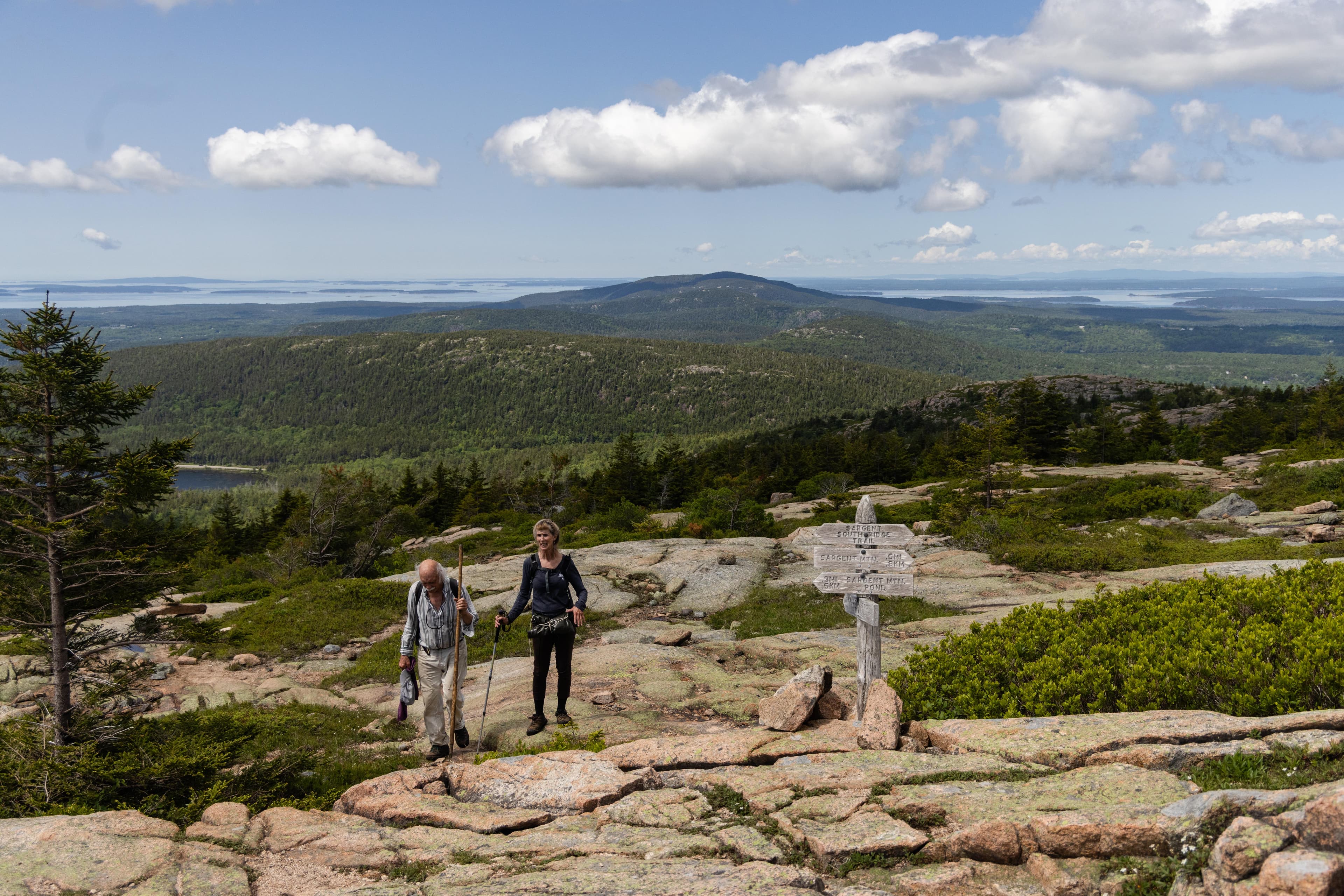
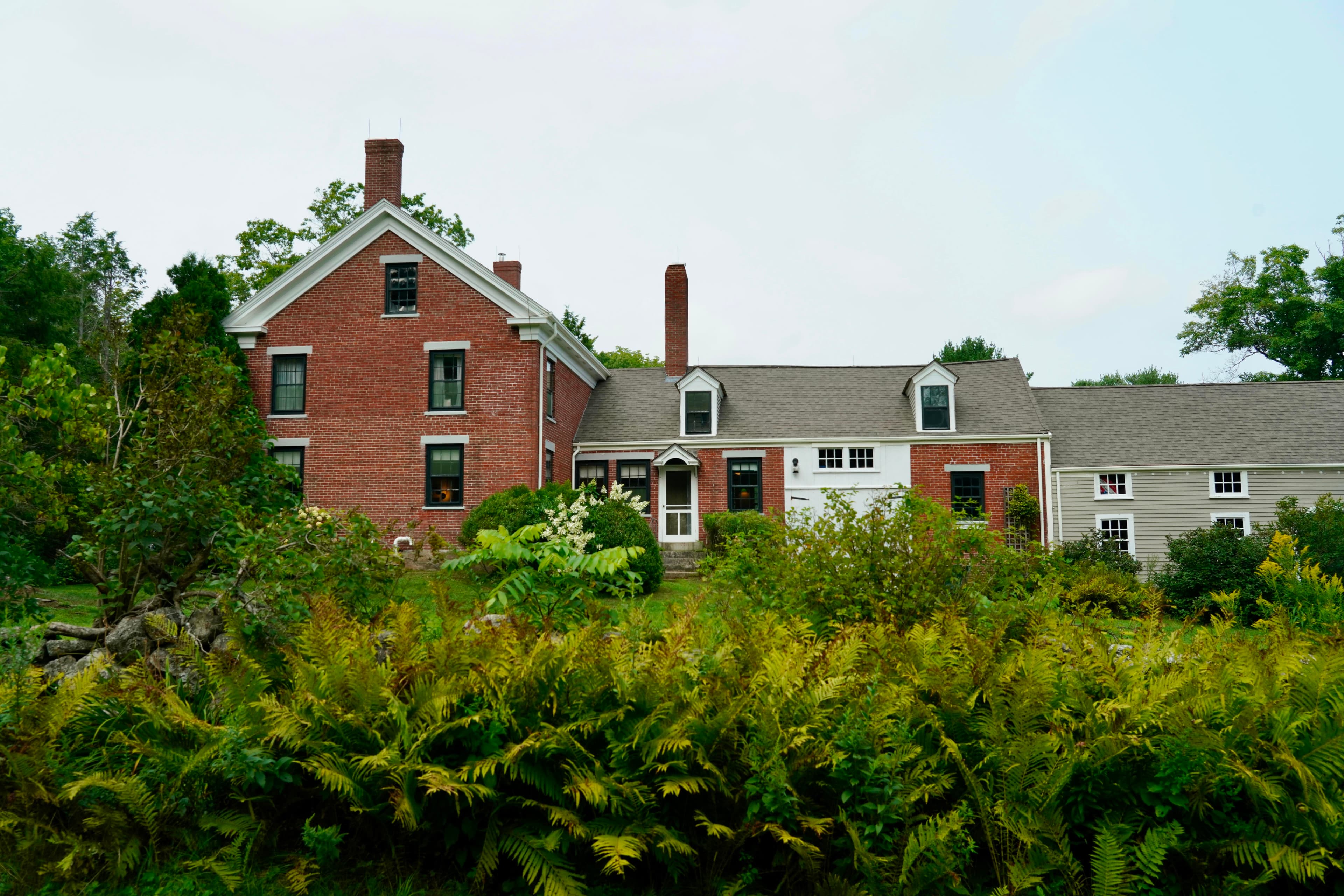
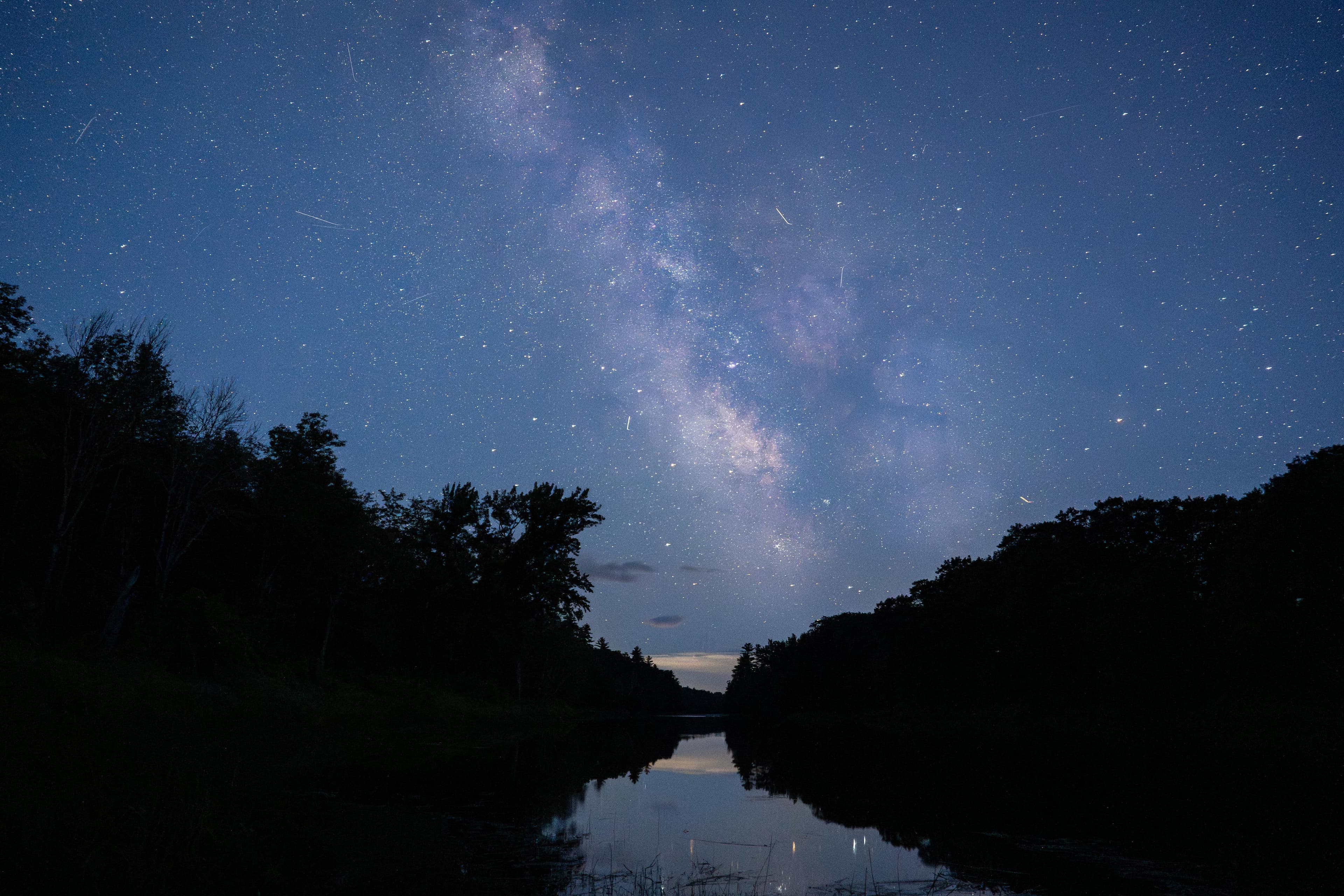
Spread across a wild landscape offering spectacular views of Katahdin, Katahdin Woods and Waters invites discovery of its rivers, streams, woods, flora, fauna, geology, and the night skies that have attracted humans for millennia.
Activities
Topics
No entrance fee.
Hours & seasons
Katahdin Woods and Waters National Monument is open year-round. From mid-November to late May, the north entrance and Katahdin Loop Road are closed to wheeled vehicles. Two gates on the Swift Brook Road leading to the southern sections of the monument are managed by a neighboring timber company and may be closed to wheeled vehicles as well from mid-November to late May.
⚠ North Entrance: closed Nov 4 – May 13; South Entrance: closed Oct 31 – May 25; Katahdin Loop Road: closed Nov 4 – May 23
Generally open:
winterspringsummerfallHours are reported by the park — verify before you go.
📞 207-456-6001
✉ kaww_info@nps.govConditions
Quietest months (fewer crowds): Apr, May, Nov, Dec
Typical crowds: low
Weather now: ☁️ Overcast, 56°F
🌦️ 57°/39°
🌦️ 56°/43°
☁️ 56°/38°
Typical monthly recreation visits · NPS avg 2023–2025 — orange months are the quietest by crowds.
Quietest months
Relative crowds by month — lighter is quieter; ringed months are the calmest by crowds.
Jan
29%
Feb
100%
Mar
38%
Apr
7%
May
18%
Jun
25%
Jul
42%
Aug
53%
Sep
46%
Oct
40%
Nov
24%
Dec
9%
Log a sky reading
Measured the sky with an SQM meter or app? Add your reading (16 = city glow … 22 = pristine). Opt in under “Travelers like you” to share it on the community leaderboard.
Things to do
Hike the International Appalachian Trail · 28.9 mi
Stargaze at Katahdin Woods and Waters National Monument
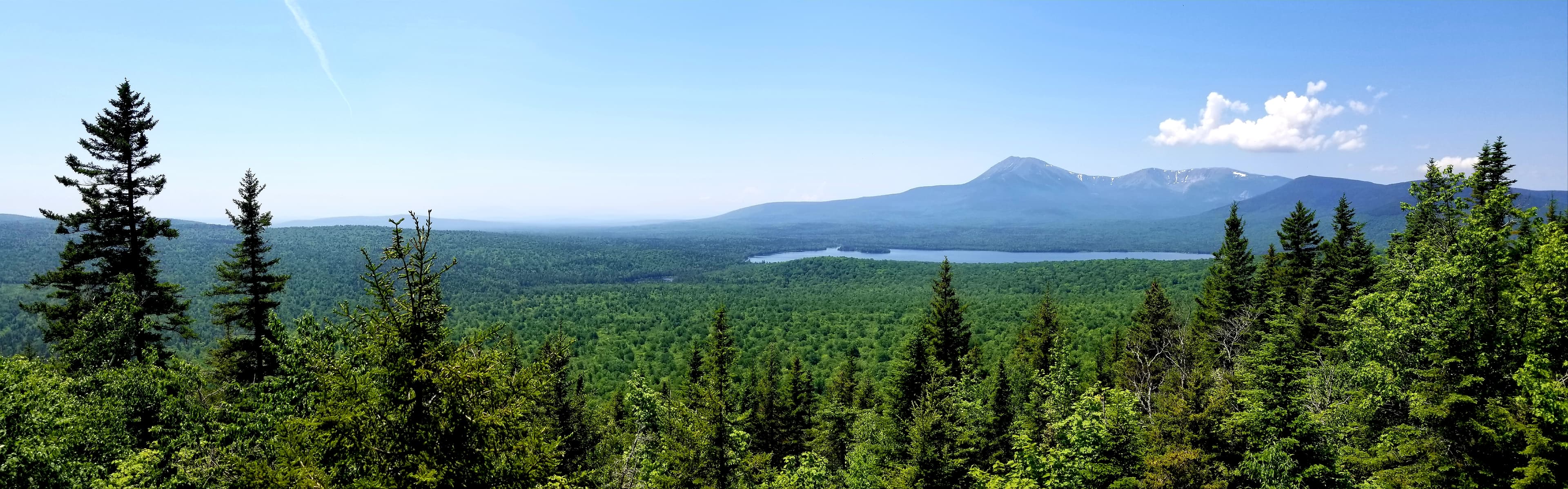
Hike To Barnard Mountain · 4 mi · 1558 ft gain
Bike the Katahdin Loop Road · 17 mi · 1418 ft gain
Fall Colors · <p>Fall colors can be enjoyed for minutes, hours, or days! Plan a camping trip for a long, emmersive experience, or enjoy a drive through the monument for a short but beautiful trip. </p>
Hike To Orin Falls · 6 mi
Hike the Seboeis Riverside Trail · 7.2 mi · Hike a portion of the trail, or hike the whole distance. The amount of time depends on how you would like to experience it. This is an out and back trail, so make sure to plan accordingly.
Birding In The Southern Section
Campgrounds
Big Seboeis Campsite ↗ · 1 sites
Big Spring Brook Campsite ↗ · 1 sites
Big Spring Brook Hut ↗ · 1 sites
Esker Campsite ↗ · 1 sites
Grand Pitch Lean-to ↗ · 1 sites
Haskell Deadwater Campsite ↗ · 1 sites
Haskell Hut ↗ · 1 sites
Katahdin Brook Lean-to ↗ · 1 sites
Lunksoos Campsites ↗ · 7 sites
Lunksoos Mountain Lean-To ↗ · 1 sites
Pond Pitch Campsite ↗ · 1 sites
Sandbank Stream Campground ↗ · 3 sites
Stair Falls Campsite ↗ · 1 sites
Upper East Branch Campsite ↗ · 1 sites
Wassataquoik Campsite ↗ · 1 sites
Wassataquoik Lean-to ↗ · 1 sites
Visitor centers
Tekakapimək Contact Station
Accessibility
3 accessible campground(s)
46 audio-described place(s)
Reported by the park — verify before you go.
Parking
Deasey Pond Trailhead · 10 accessible spaces
Lynx Pond ADA Parking · 1 accessible spacesaccessible
North Gate Parking · 5 accessible spaces
Seboeis Connector Parking · 5 accessible spaces
Not an official safety source — always defer to NPS.gov and rangers for life-safety decisions.
By the numbers
A visual read on Katahdin Woods and Waters National Monument — its character, trails, sky, and weather.
Park fingerprint
How this park scores across the dimensions travelers care about.
Trail difficulty
Difficulty mix across this park's trails.
Trail profile
Each dot is a trail — distance vs. elevation gain, by difficulty.
3-day forecast
Daily high and low temperatures (°F).
Passport stamps
Mark the stamps you've collected — they show in your memory and along your routes.
🎫 Millinocket Contact Station
🎫 Tekakapimək Contact Station
Places to see
Barnard Mountain
audio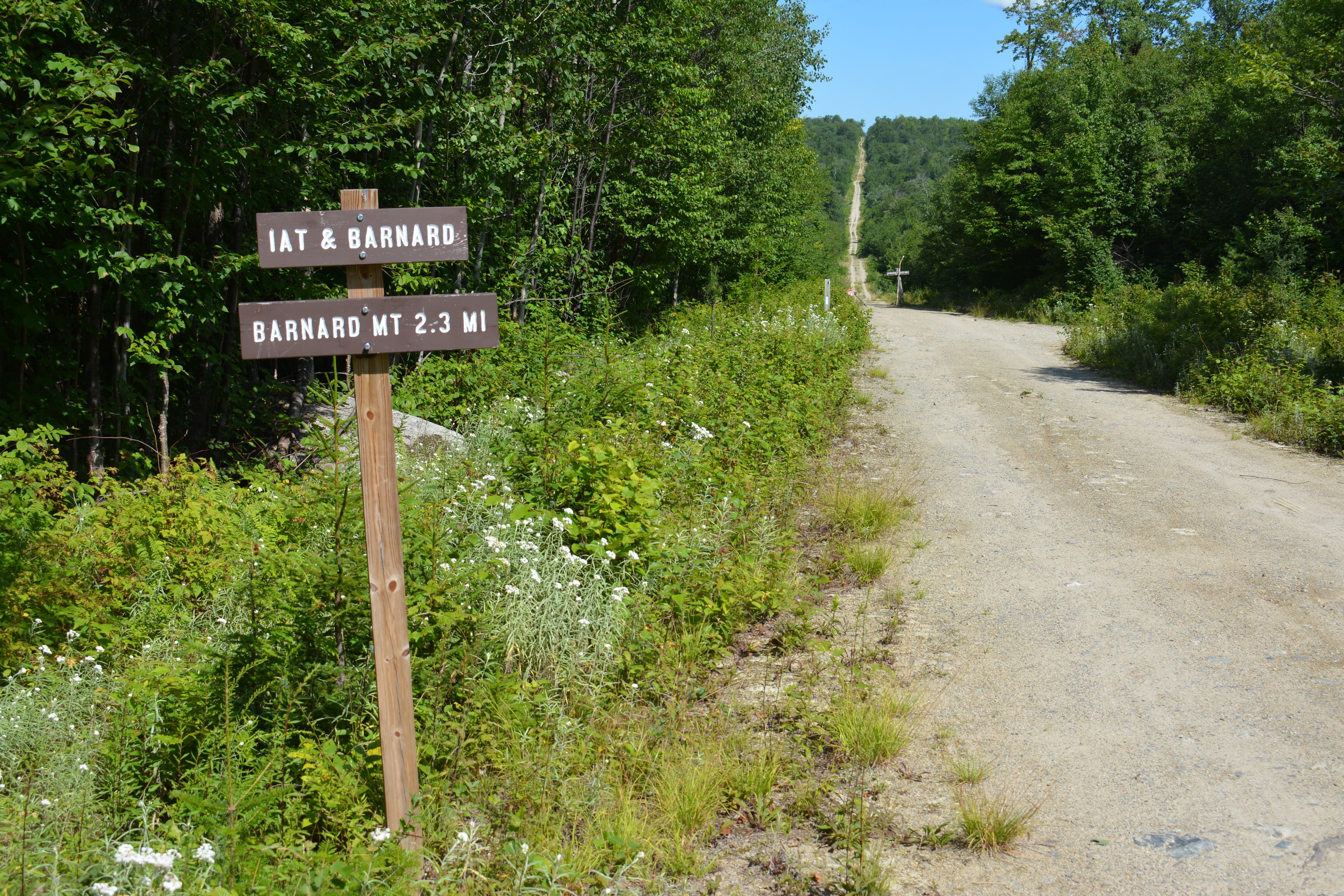
Barnard Mountain Trailhead
audio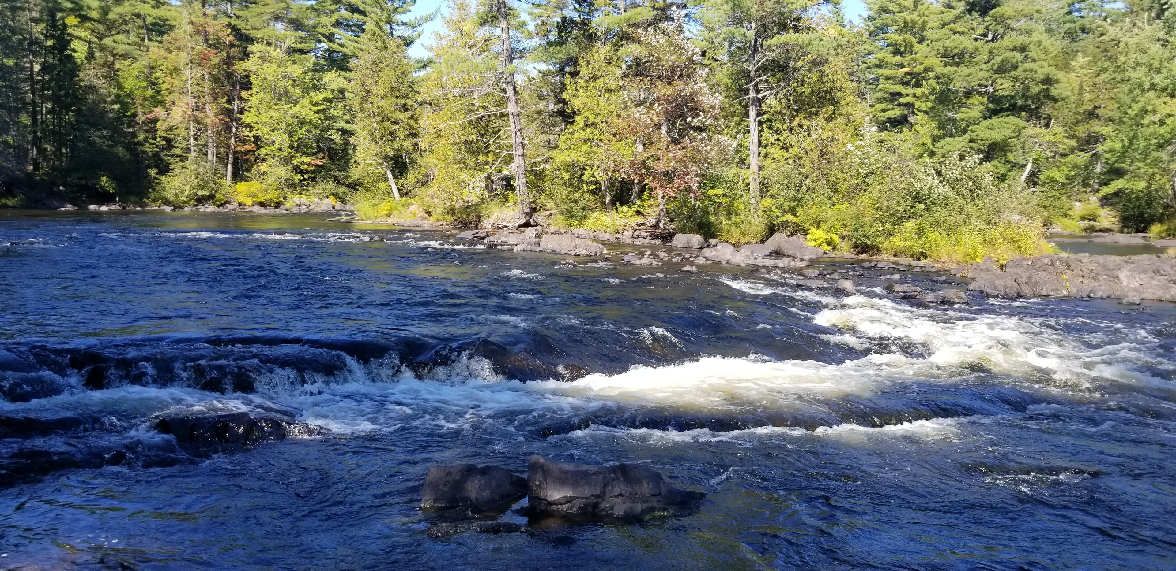
Bowlin Falls
audio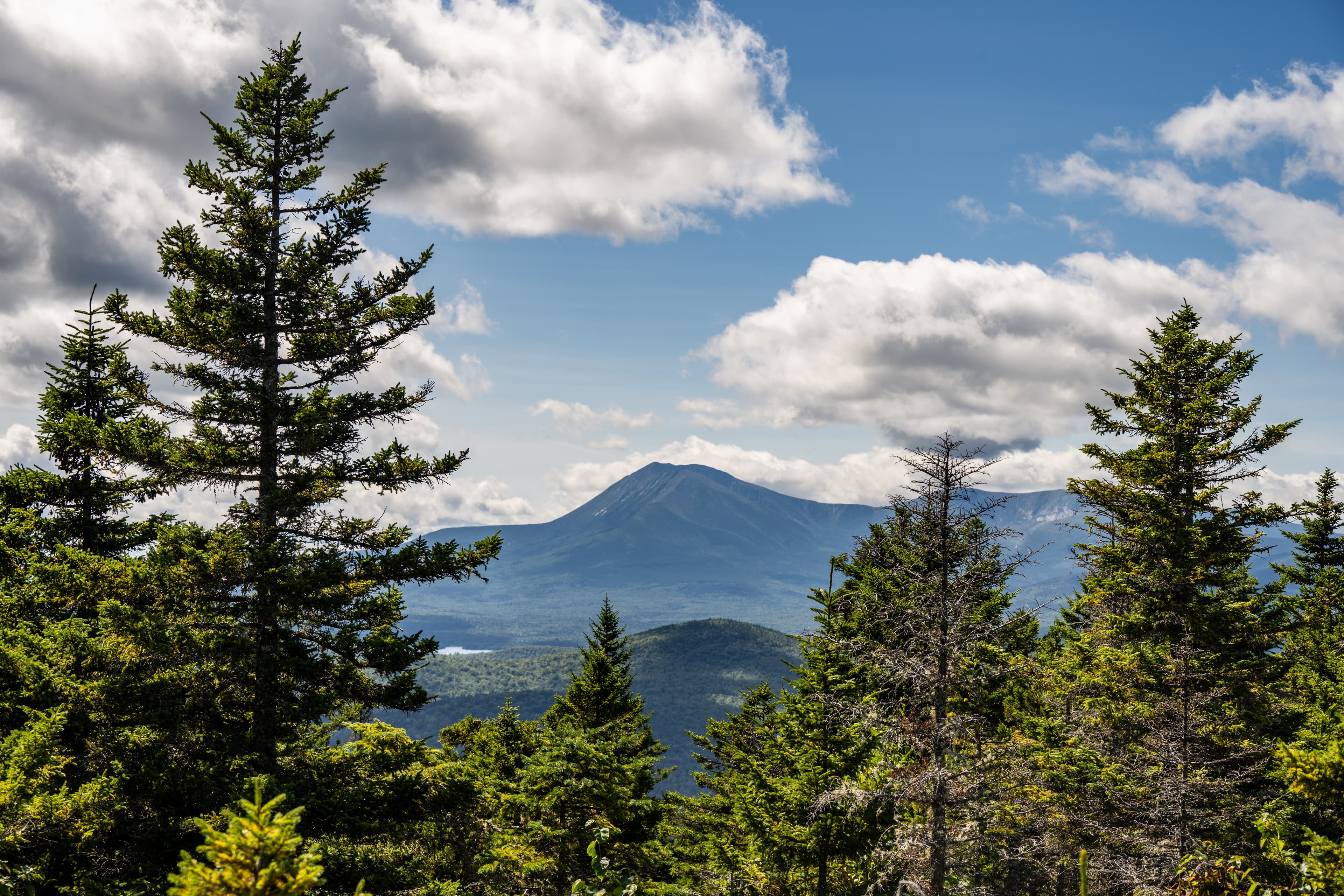
Deasey Mountain
audio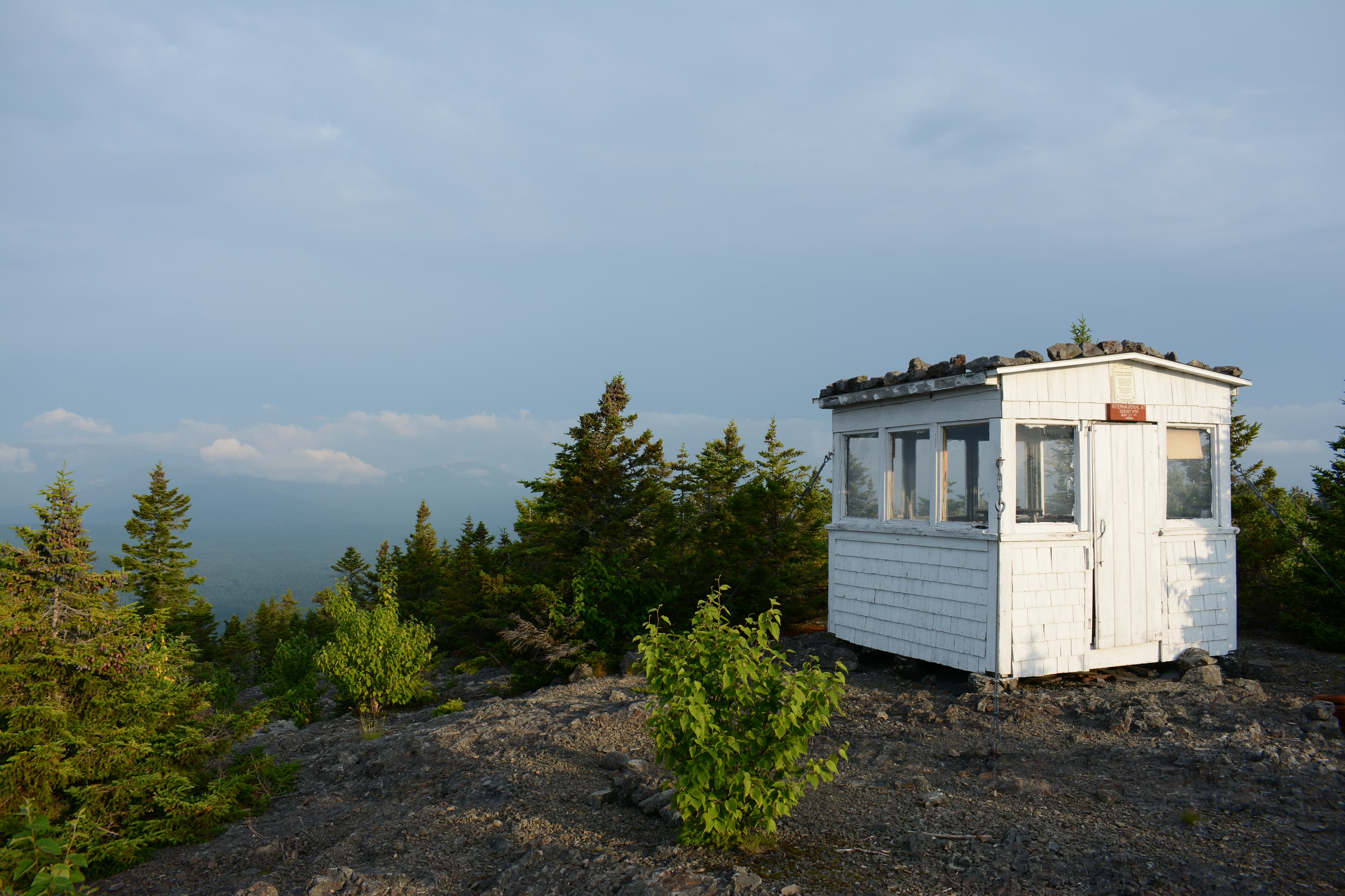
Deasey Mountain Fire Lookout
audio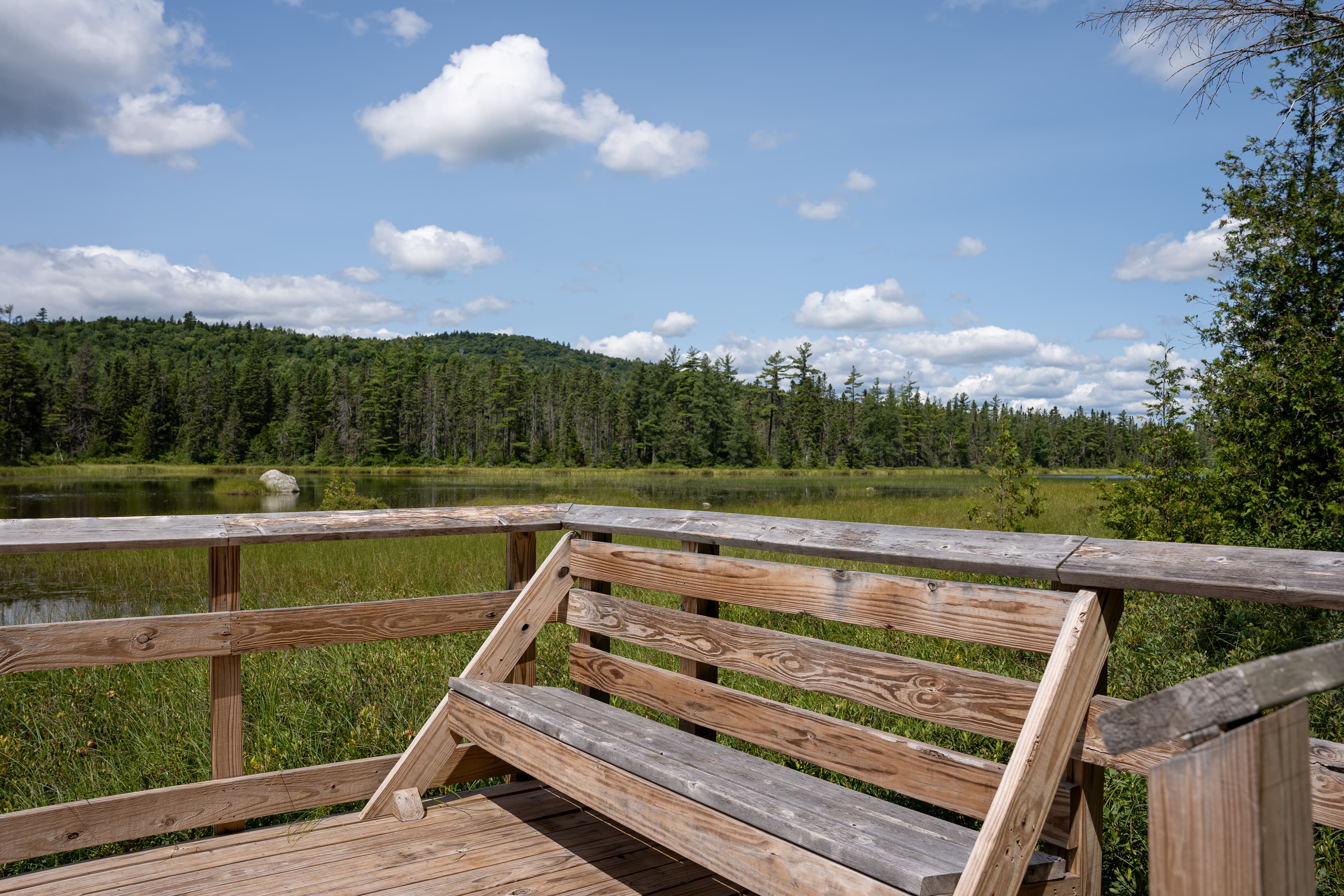
Deasey Ponds
audio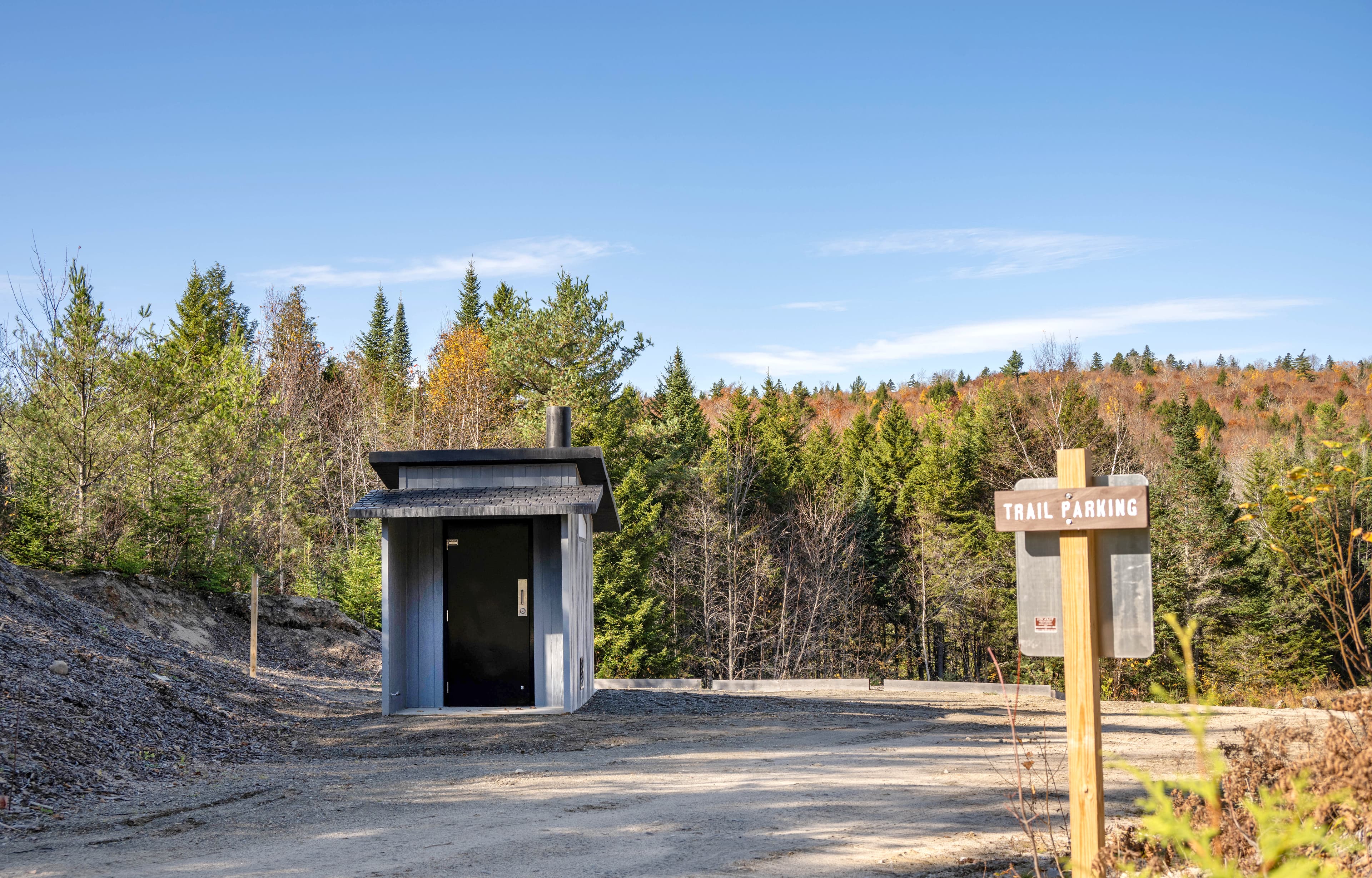
Deasey Ponds Trail Parking Lot
audio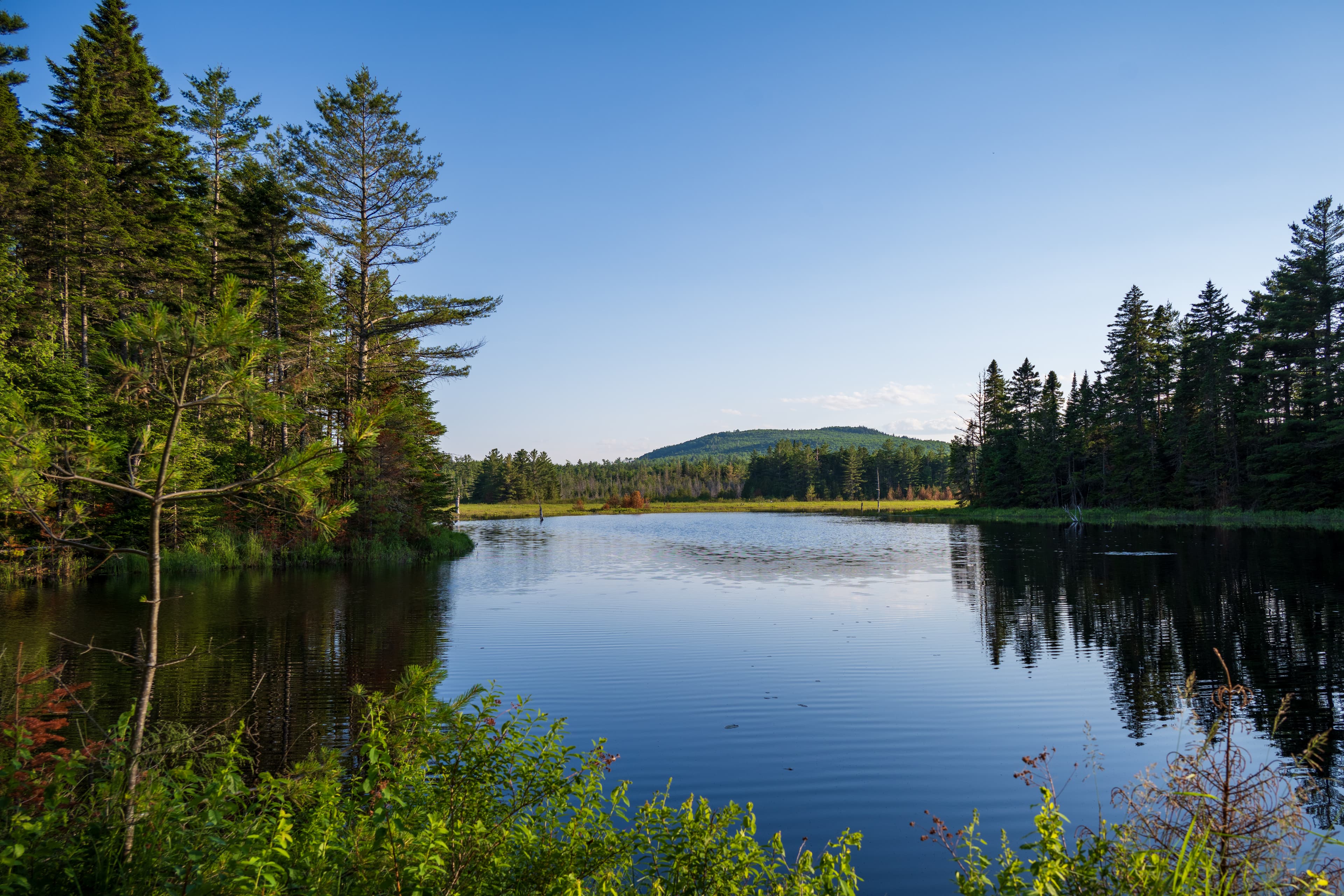
Esker Wetland
audio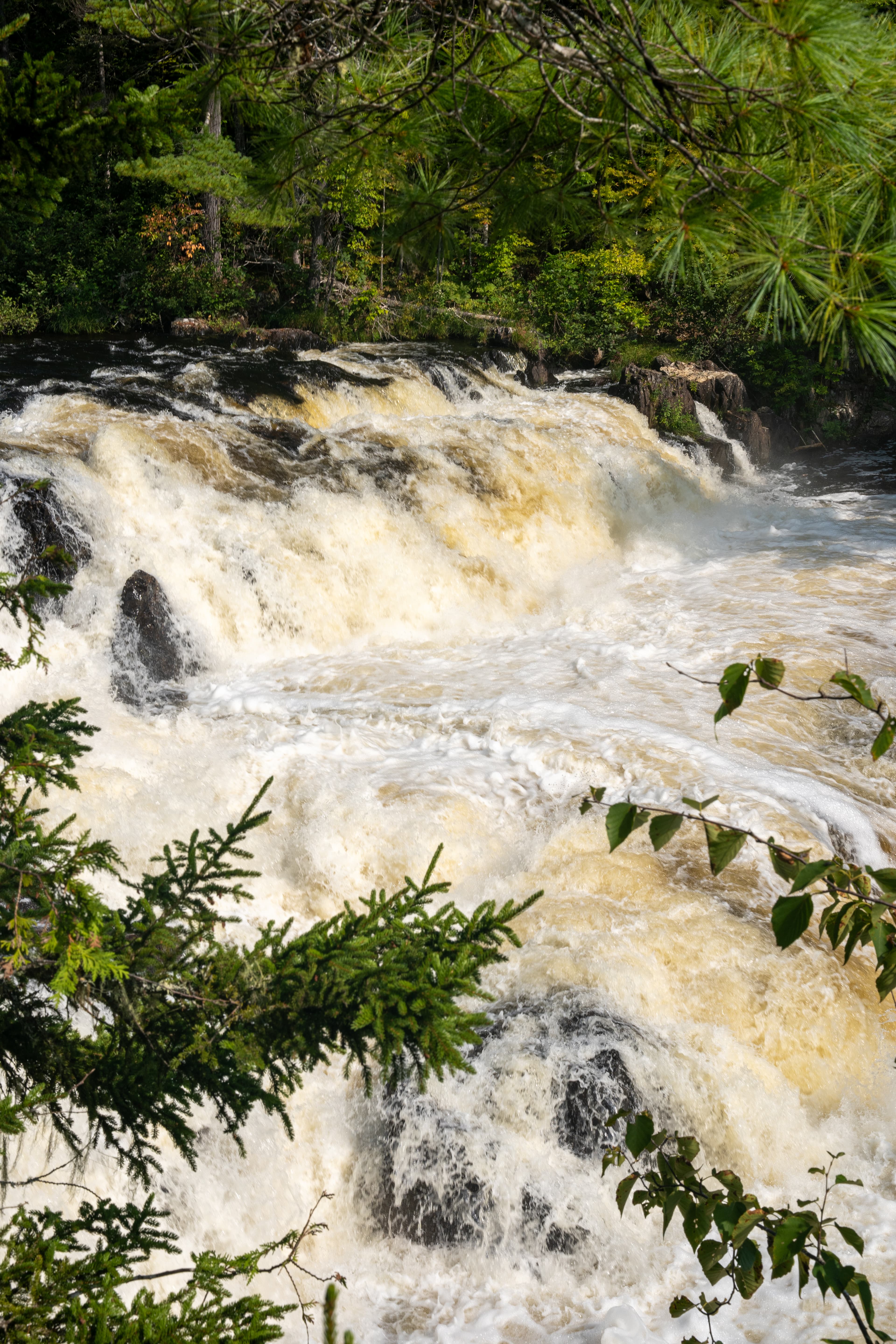
Grand Pitch
audio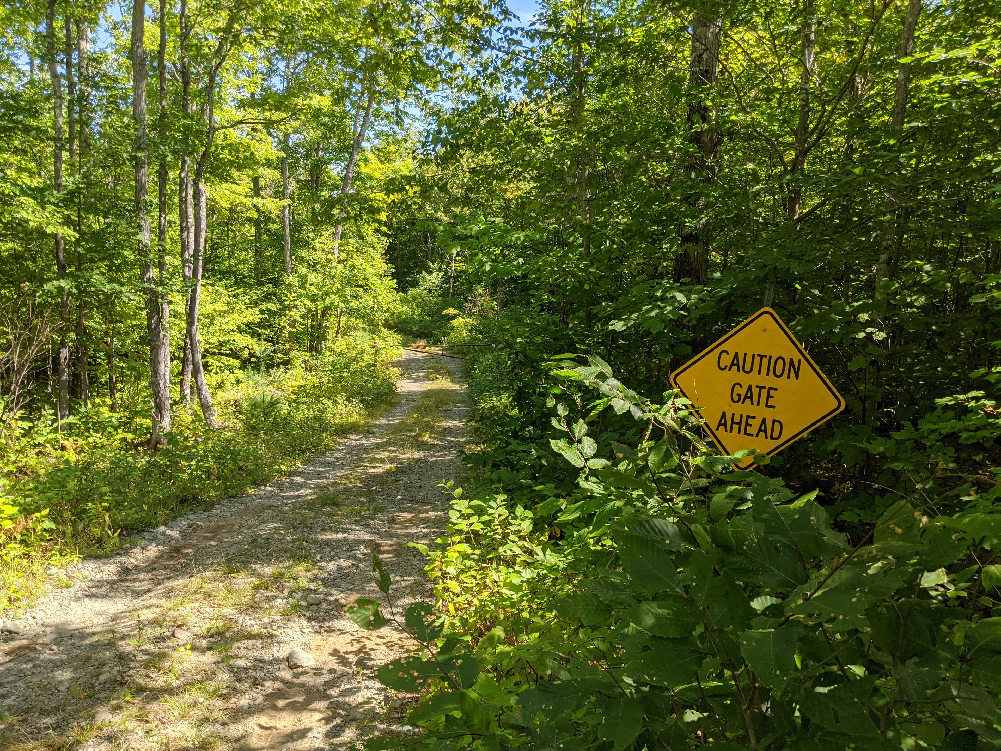
Haskell Gate
audio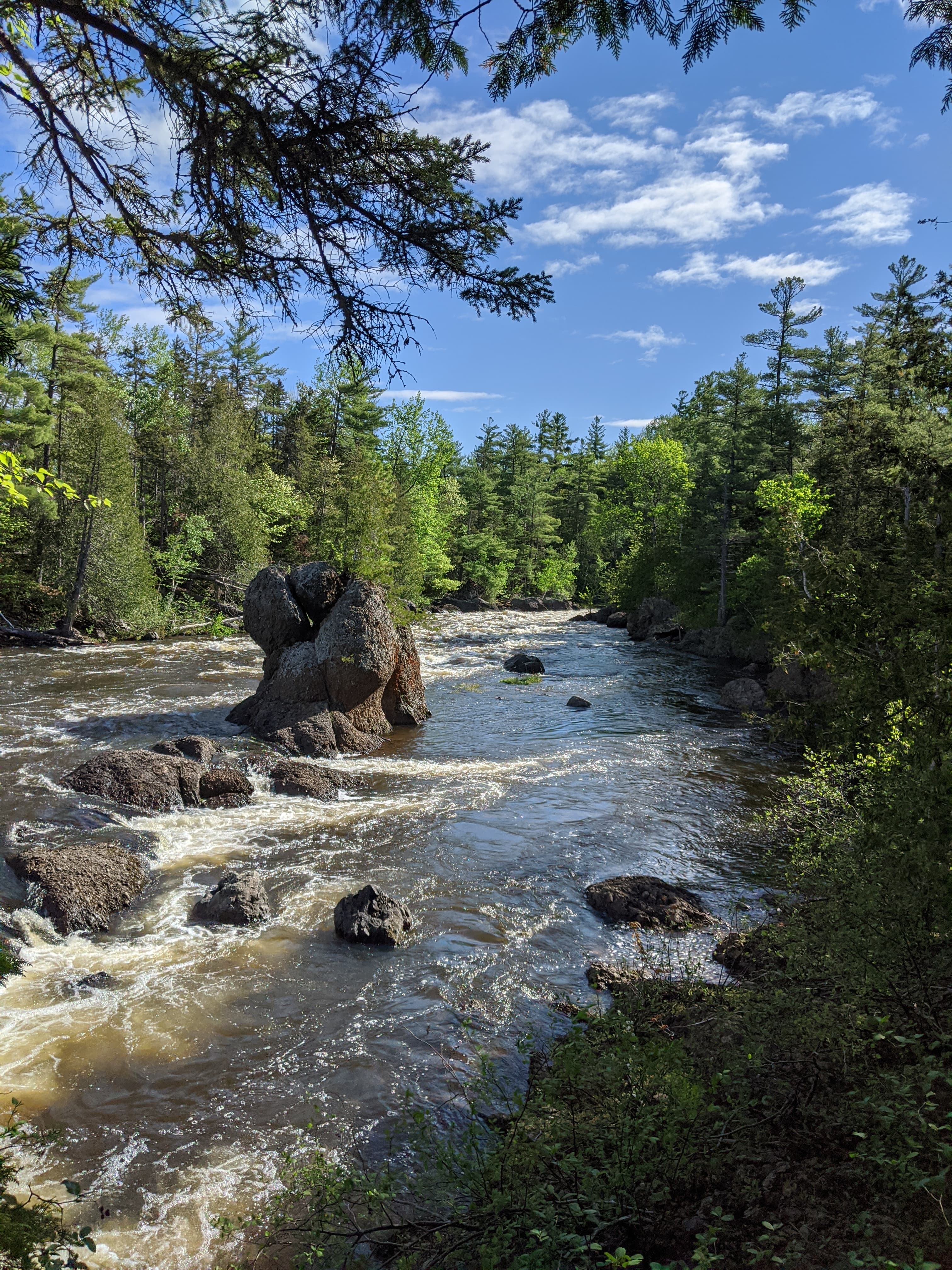
Haskell Rock Pitch
audio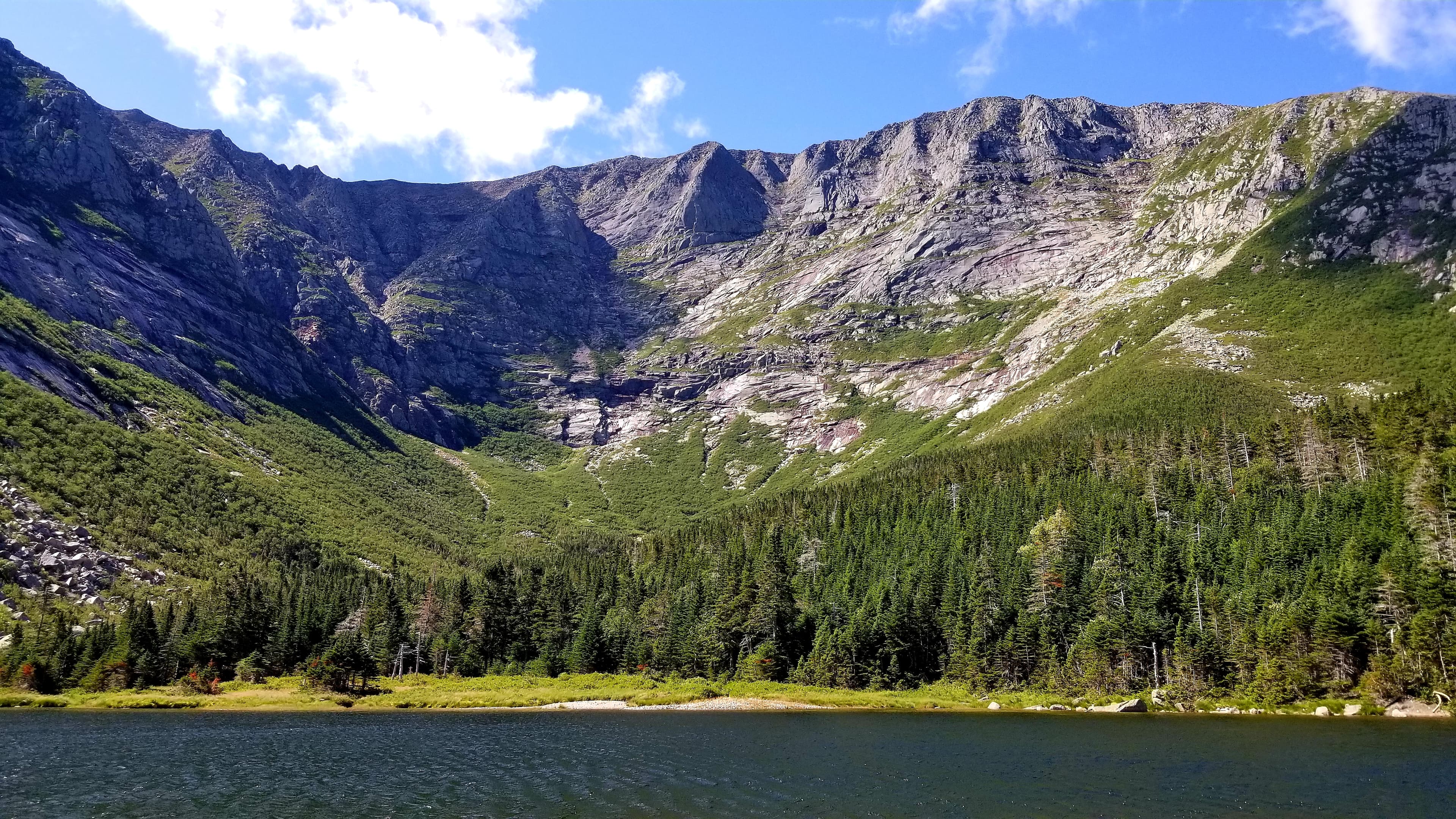
Katahdin - Located in Baxter State Park
audioAudio & media
🎧
🎬
🖼
Learn more
Across the US, changes in water availability are altering which plants grow where. These changes are evident at a broad scale. But not all areas experience the same climate in the same way, even within the boundaries of a single national park. A new dataset gives park managers a valuable tool for understanding why vegetation has changed and how it might change in the future under different climate-change scenarios.
National park visitors are using mobile-friendly platforms like iNaturalist to collect valuable data on biodiversity. Their observations help park managers monitor and respond to emerging threats, from stinknet in Saguaro National Park to the hemlock woolly adelgid in Acadia.
Read the abstract and get the link to a published paper on how dragonfly mercury studies uncover unexpected atmospheric delivery pathways: Janssen, S.E., C.J. Kotalik, J.J. Willacker, M.T. Tate, C. Flanagan Pritz, S.J. Nelson, D.P. Krabbenhoft, D. Walters, and C. Eagles-Smith. 2024. Geographic Drivers of Mercury Entry into Aquatic Foods Webs Revealed by Mercury Stable Isotopes in Dragonfly Larvae. Environmental Science & Technology. DOI: 10.1021/acs.est.4c02436
On the eve of the National Park Service’s centennial in 2016, President Barack Obama designated 87,500 acres as the Katahdin Woods and Waters National Monument – the first national monument to preserve the landscape and honor the history and culture of Maine’s North Woods in Penobscot County. The superintendent of the new national monument asked NPS-RTCA to assist with engaging local communities and leading various planning projects.
Each park-specific page in the NPS Geodiversity Atlas provides basic information on the significant geologic features and processes occurring in the park. Links to products from Baseline Geologic and Soil Resources Inventories provide access to maps and reports.
Shenandoah and Great Smoky Mountains national parks, along with the Blue Ridge Parkway that connects them, pass through rocks from the core of the Appalachian Mountains. The mountains began forming during the Ordovician and eventually attained elevations similar to those of the Himalayas.
Katahdin Woods and Waters National Monument preserves rocks and fossils from much of the first half of the Paleozoic Era, approximately 540 to 400 million years ago, when what is now the east coast of North America was growing with additions of small continental fragments. Fossils have been occasionally reported from the monument by scientists in the past, but this is the first time that a thorough inventory has been made of the monument’s fossils.
During the Paleozoic Era (541 to 252 million years ago), fish diversified and marine organisms were very abundant. In North America, the Paleozoic is characterized by multiple advances and retreats of shallow seas and repeated continental collisions that formed the Appalachian Mountains. Common Paleozoic fossils include trilobites and cephalopods such as squid, as well as insects and ferns. The greatest mass extinction in Earth's history ended this era.
How Katahdin Woods and Waters National Monument connects
This park's activities, topics, location, and on-the-ground places — one hop in the graph. Drag to explore; click an activity, topic, or related park to follow it.
Park
Activity
Topic
State
Campground
VisitorCenter
ParkingLot
PassportStamp
Trail
ThingToDo
Alert
Similar parks
Share activities & topics with Katahdin Woods and Waters National Monument.