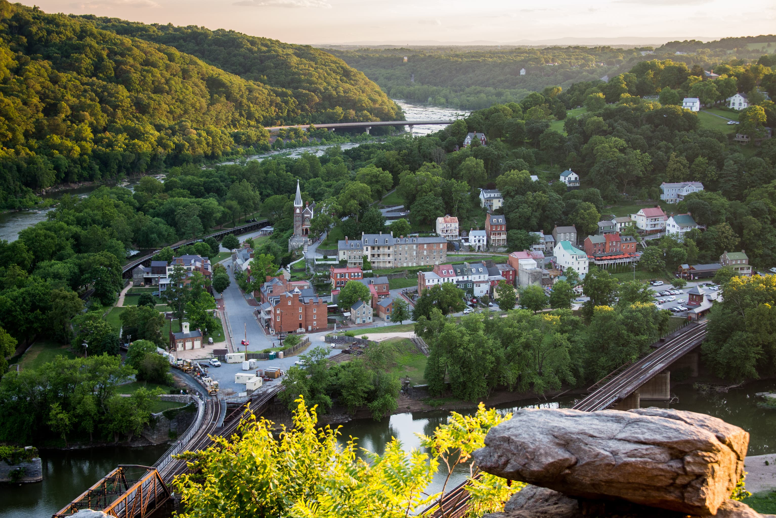
Harpers Ferry National Historical Park
Maryland, Virginia, West Virginia
Tonight
🌓 65% moon
8.8 h fully dark
Hikes
Easy
🟢
Crowds
low
Open today
Open
Parkwide Hours of Operation: closed Nov 26 – Nov 26; Parkwide Hours of Operation: closed Dec 25 – Dec 25; Parkwide Hours of Operation: closed Jan 1 – Jan 1; Park Grounds and Trails: closed Nov 26 – Nov 26; Park Grounds and Trails: closed Dec 25 – Dec 25; Park Grounds and Trails: closed Jan 1 – Jan 1
Entrance
$20
Temporary Closure of Lower Bolivar and Nash Farm Trails, 6/23 and 6/24
Harpers Ferry National Historical Park will be participating in the National Park Service's Eastern Grasslands Initiative this year. In order to prepare selected sites for seeding, there will be an NPS-approved herbicide application on Lower Bolivar Heights and Nash Farm on Tuesday, 6/23. For public health and safety, the Lower Bolivar Heights fields, trails, and parking area, and the Nash Farm fields and trails will be closed 6/23 and 6/24.
Official NPS alert →Annual Closure to Protect Nesting Peregrine Falcons
To provide peregrine falcons adequate space for nesting, portions of Maryland Heights will be closed from Feb 15 to July 31. This includes several rock outcroppings near the overlook and certain climbing walls. The Maryland Heights Trail is OPEN.
Official NPS alert →Ongoing work on Lower Town buildings
Facilities staff are doing repair work on several buildings in Lower Town. Please follow signs for alternate entrances and heed temporary closures.
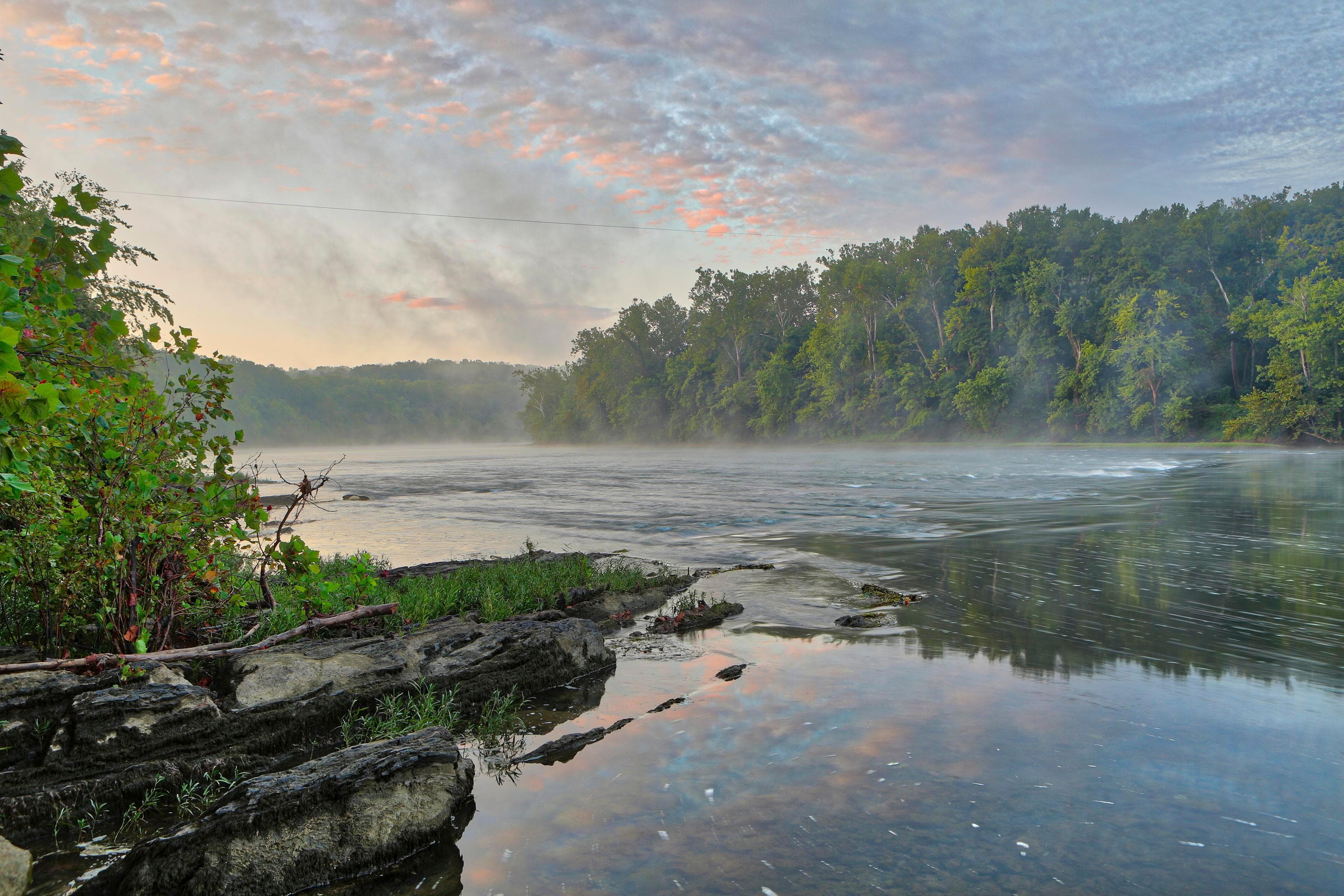
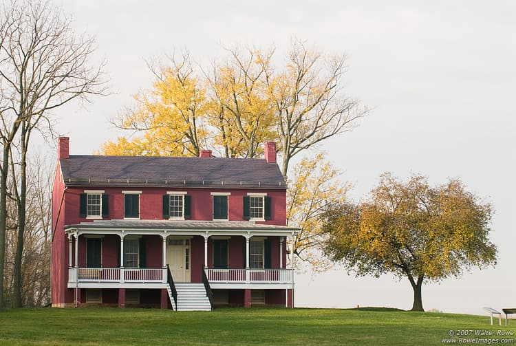
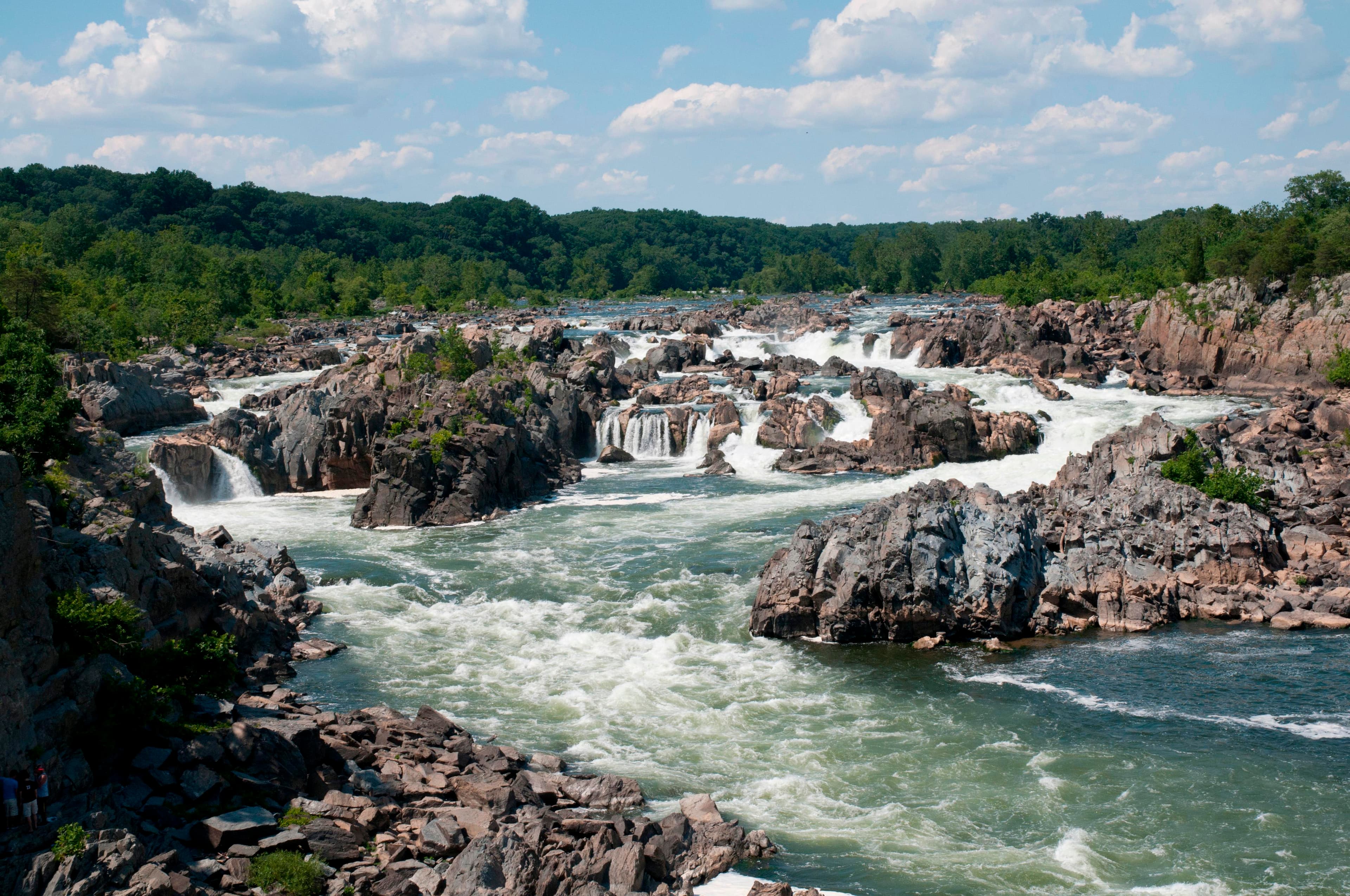
At the confluence of the Shenandoah and Potomac rivers, on the ancestral home of the Tuscarora and Shawnee people, lies Harpers Ferry. Here you can explore John Brown's Raid against slavery. Find your connection to the struggle for freedom, education, and civil rights at Storer College. Discover miles of trail in the Blue Ridge and along Civil War battlefields.
Topics
Entrance fees
$20.00 — Entrance - Private Vehicle
$15.00 — Entrance - Motorcycle
$10.00 — Entrance - Per Person
Hours & seasons
Harpers Ferry National Historical Park is open year-round with the exception of Thanksgiving Day, Christmas Day, and New Year's Day. Park museums/exhibits, the Visitor Center, and restroom facilities are open from 9 a.m. to 5 p.m. Park passes may be purchased at the entrance station Thursday through Monday, 9 a.m. to 4 p.m. If you would like to purchase a nationwide America the Beautiful pass, we encourage you to call 304-535-6299 before you come. Park shuttle bus hours are currently 9 a.m. to 5:30 p.m.
⚠ Parkwide Hours of Operation: closed Nov 26 – Nov 26; Parkwide Hours of Operation: closed Dec 25 – Dec 25; Parkwide Hours of Operation: closed Jan 1 – Jan 1; Park Grounds and Trails: closed Nov 26 – Nov 26; Park Grounds and Trails: closed Dec 25 – Dec 25; Park Grounds and Trails: closed Jan 1 – Jan 1
Generally open:
winterspringsummerfallHours are reported by the park — verify before you go.
📞 3045356029
✉ harpersferry_info@nps.govConditions
Quietest months (fewer crowds): Jan, Feb, Mar, Dec
Typical crowds: low
Weather now: ☁️ Overcast, 82°F
🌦️ 82°/69°
🌧️ 72°/59°
🌧️ 60°/54°
Typical monthly recreation visits · NPS avg 2023–2025 — orange months are the quietest by crowds.
Quietest months
Relative crowds by month — lighter is quieter; ringed months are the calmest by crowds.
Jan
9%
Feb
14%
Mar
35%
Apr
58%
May
74%
Jun
82%
Jul
87%
Aug
88%
Sep
68%
Oct
100%
Nov
60%
Dec
23%
Log a sky reading
Measured the sky with an SQM meter or app? Add your reading (16 = city glow … 22 = pristine). Opt in under “Travelers like you” to share it on the community leaderboard.
Things to do
Walk Your Dog at Murphy-Chambers Farm · 0.75 mi · The trail is just over a mile. Take your time to let your pup take in the scents. There are also exhibits that explain the history of the family who lived here, the battle action that took place here, and the relationship of Murphy Farm to other parts of the battlefield.
🟢 Bicycle from Williamsport to Harpers Ferry · 40 mi
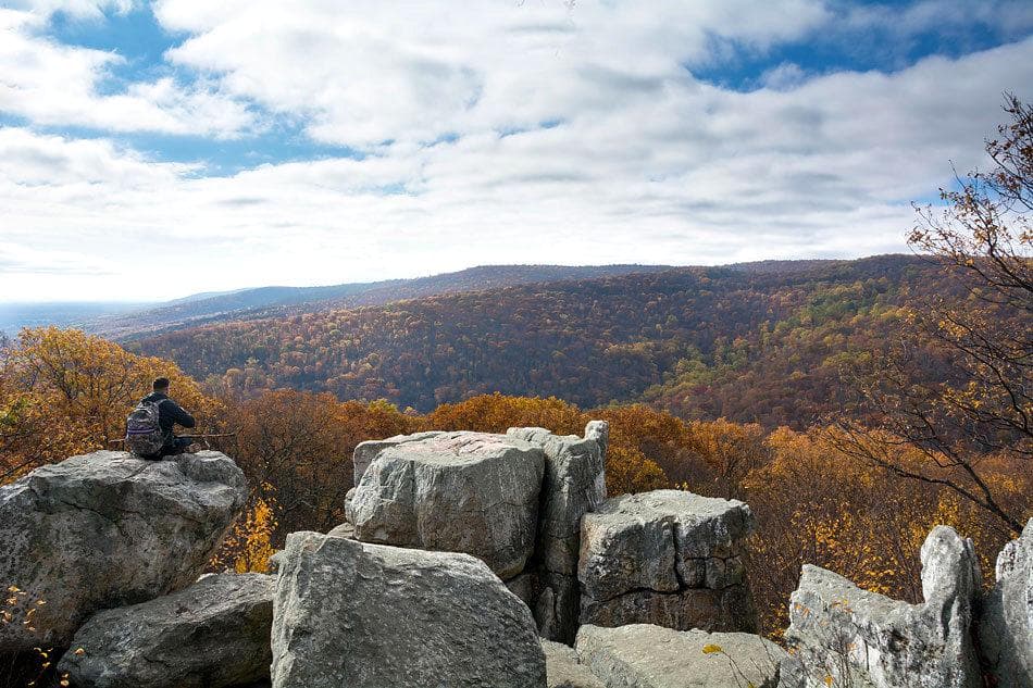
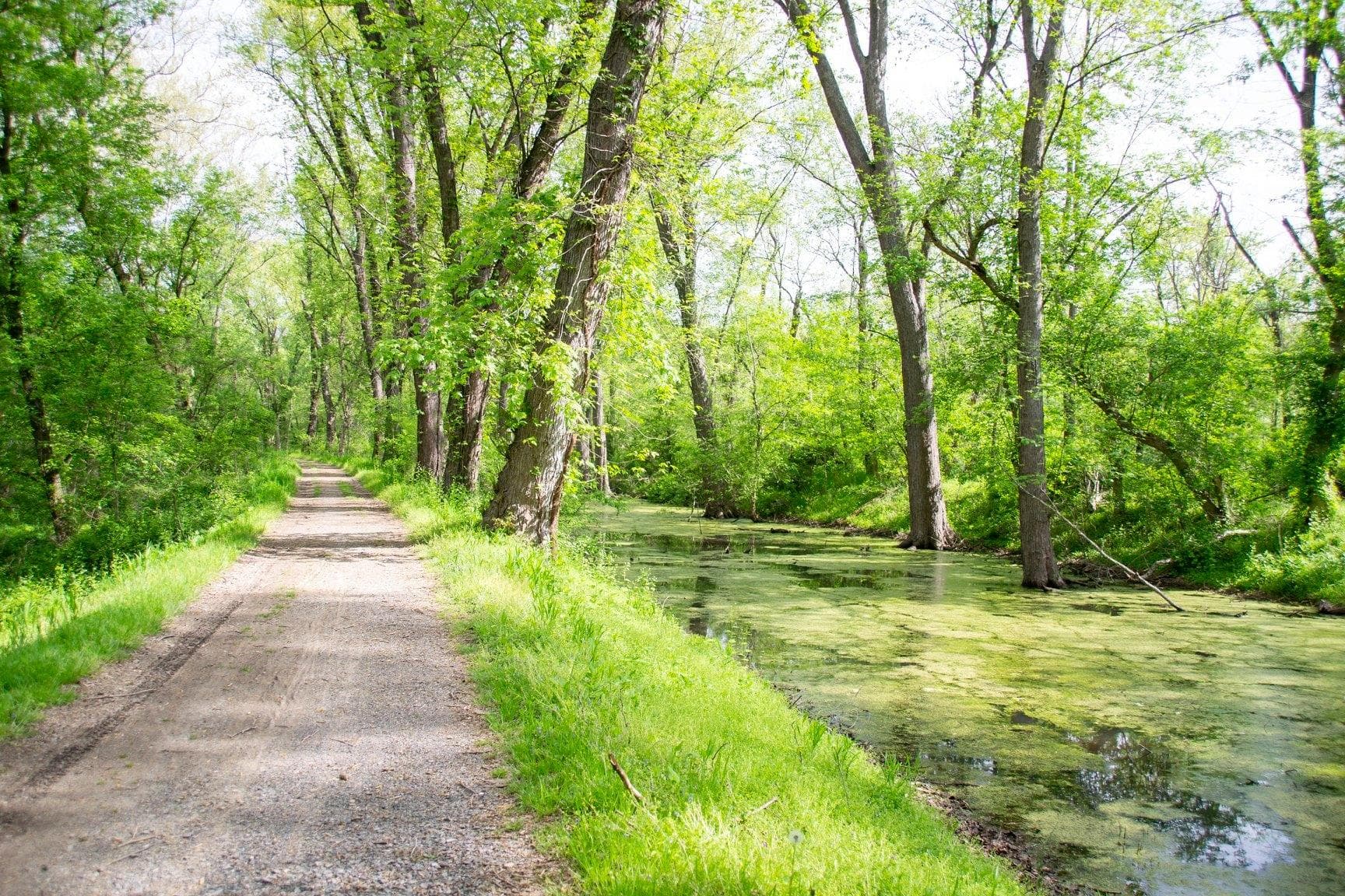
🟢 Hike Civil War Skirmish Lines at Harpers Ferry · 20 mi · <table cellpadding="0" cellspacing="0" id="cs_idLayout2" summary="" width="100%"> <tbody> <tr> <td id="cs_idCell2x2x1" width="100%"> <p><strong>Visitor Center to Lower Town</strong><br /> Moderate due to one steep section, 1.6 miles one-way, 45 minutes.<br /> This scenic trail offers an alternative to the shuttle bus to or from the Lower Town area, which is especially useful for dog-walkers. The trail starts at the tree line south of the Visitor Center, at the back of the main parking lot. Hikers travel down a steep ravine with 97 stone steps, passing by intermittent waterfalls. At the base of the ravine, the trail crosses Shoreline Drive: Be careful! Cars and buses use this road. Keep dogs and children off the pavement. The trail parallels the road, passing by healthy wetlands, where hikers may see herons, Wood Ducks, Canada geese, turtles and occasionally a beaver or muskrat. Passing the River Access parking lot, the trail merges with Shenandoah Street, bordering the Hall and Virginius islands trail systems. Hikers will see the ruins of the Shenandoah Pulp Mill and a remnant of the Shenandoah Canal.</p> <p><strong>Maryland Heights</strong><br /> Difficult (steep and rocky in places), 4.5 or 6.5 miles round trip, 3 to 4 hours. Wayside exhibits.<br /> The Maryland Heights Trail offers hikers the opportunity to see many aspects of Harpers Ferry NHP on one walk: spectacular scenery, geology, Civil War and transportation history. From the Information Center in Lower Town turn right to merge with the Appalachian Trail at the dead end of Shenandoah Street. Cross the footbridge over the Potomac River. Turn left (upstream) on the C&O Canal Towpath. The trail stays on the towpath for 0.3 miles, and then crosses a footbridge over the canal bed to Harpers Ferry Road. Be careful! Watch for traffic. Directly across the road is the Maryland Heights trailhead. The first bend on this green-blazed trail offers a nice view of the Potomac. Go straight at the first intersection to a see the 1862 Naval Battery, then return to the green-blazed trail and turn right. At the next two intersections stay straight on the red-blazed Overlook Cliff Trail. About 0.3 miles turn right for a narrow, rocky descent 0.5 miles to the cliffs overlooking Harpers Ferry. Backtrack to the first intersection with the blue-blazed Stone Fort Trail. Hike one mile uphill past Civil War artillery batteries and through boulders to the Civil War Stone Fort. The trail curves out of the Stone Fort past breastworks and descends steeply over one mile back to the green-blazed trail. Turn right and backtrack to the C&O Canal Towpath.</p> <p><strong>Murphy-Chambers Farm</strong><br /> Easy to moderate, 1-3 miles roundtrip (with side trails), 30 minutes to 2 hours. Wayside exhibits.<br /> Visitors to the Murphy-Chambers Farm hike through fields and wooded ravines to see spectacular views of the Shenandoah River and the surrounding mountains, as well as Civil War cannons, earthworks and the footprint of the John Brown Fort. The trail starts at the Visitor Center, but can also be accessed from a parking area on the farm, which allows for an easy 0.75 mile stroll to the Shenandoah River overlook. From the Visitor Center, the trail crosses Shoreline Drive, goes down to a small creek and up to the unpaved farm entrance road. Here, hikers can stay on the road or go left and follow the tree line. Both trails lead to the overlook of the Shenandoah River. Near the overlook is the 1895-1909 site of the John Brown Fort and the Niagara Movement's 1906 pilgrimage. This was also the scene of Confederate General A.P. Hill's flanking maneuver in 1862. From the overlook, hikers can follow a mulched trail that leads into the woods. This section of the trail goes to another view of the river and Civil War earthworks. The trail loops back to the farm road or turns left across a footbridge for 0.5 miles one way to a small creek.</p> <p><strong>Bolivar Heights/Schoolhouse Ridge North</strong><br /> Easy to moderate, 0.3 to 2.4 miles (with side trails), 15 minutes to 1 hour. Wayside exhibits.<br /> A short walk from the Bolivar Heights parking area provides some of the best views of the surrounding Blue Ridge Mountains, the Potomac River water gap and the Shenandoah Valley. This is the best place to survey the terrain and ponder Civil War strategy. Cannon and earthworks reflect the violent history of this site. Walking the whole Bolivar Heights trail system yields bonus views of School House Ridge to the west. The easiest walk is the 0.3 mile loop on top of Bolivar Heights. The 1.3 mile Upper Loop continues on the crest and then turns right, down a wooded trail to a lovely view of Schoolhouse Ridge. Here, hikers can continue through the field 1.1 miles on the Lower Loop or turn right and follow the tree line to another wooded trail back up to the Bolivar Heights parking area. From the Lower Loop a walk across Bakerton Road- be careful! watch for traffic-connects the Bolivar Heights trails to the Schoolhouse Ridge North Trail.</p> <p><strong>Schoolhouse Ridge South</strong><br /> Allstadt Farm Trail: Moderate, 2.5 miles roundtrip, 1½ hours. Courtney's Battery Trail: Moderate, 1.2 miles, 30-40 minutes. Wayside exhibits.<br /> Hikers see expansive views of Bolivar Heights, Maryland and Loudoun heights all along this ridgeline. The two trails start at the parking lot on Millville Road. The Allstadt Farm Trail to the left passes through fields, forest and along a stream. Hikers can start across the field, or take the farm lane straight up to the ruins of the 19th-century farmhouse and turn left to intersect the main trail. The trail eventually loops down to Flowing Springs Run, and then climbs back up to the top of the ridge. From the overlook on the far end of the ridge South Mountain fills in the gap between Maryland and Loudoun heights. The shorter, Courtney's Battery Trail to the right from the parking lot, leads to a battery of cannon and another view of the surrounding heights illustrating Confederate tactics in 1862.</p> <p><strong>Loudoun Heights</strong><br /> Difficult (steep and rocky in places), 7.5 miles round trip, 4-5 hours round trip.<br /> This challenging trail rewards hikers with a southern perspective on Harpers Ferry and the confluence of the Potomac and Shenandoah rivers. From the Information Center in Lower Town, hikers find the Appalachian Trail (AT) on High Street and head up the stone steps to Jefferson Rock. Continue on the white-blazed AT about one mile to the highway. Cross the hiker-friendly section of the highway bridge over the Shenandoah River to reach the base of Loudoun Heights. Continue up the AT 0.9 miles to the intersection with the orange-blazed trail. Turn left for a break from the climb and hike about 0.5 miles on the orange trail to the first overlook. At the top of the mountain turn left on the blue-blazed trail. Two more overlooks along the power line cut preview the beautiful vista waiting at the Split Rock overlook. Backtrack 1.5 miles on the blue-blazed trail to return to the AT and the descent back to Lower Town.</p> <p><strong>Camp Hill - Virginius Island - Hall's Island</strong><br /> Moderate, 2-3 miles (with side trails), 1-2 hours. Wayside exhibits.<br /> This trail follows the Appalachian Trail (AT) to Jefferson Rock, Harper Cemetery, and the former Storer College campus, with many great views of the mountains and river valleys. The hike starts at the Information Center, crosses Shenandoah Street to High Street and turns left on 62 historic stone steps on the way to Jefferson Rock. Southbound AT hikers can follow the white blazes along this cliff side all the way to Georgia. The right fork just above Jefferson Rock goes to the Harper Cemetery and Lockwood House, the birthplace of Storer College. Just past Lockwood House, along the tree line, a side trail returns to the AT. Approximately 0.25 miles to the right on the AT, a highly recommended option angles off to the left.** This trail, historically known as the Cliff Trail, allows a nice circuit back to Lower Town across the Virginius Island area. The Cliff Trail descends steeply to Shenandoah Street opposite the ruins of the pulp mill. Cross the street and follow the Virginius Island trail system back to Lower Town, about 0.5 miles to the left. **At this intersection, a blue-blazed trail to the right winds up stone steps to the former Storer College campus. Continue up another series of steps between two buildings. Turn right and follow the long brick walk to Fillmore Street and the next set of blue blazes to the Appalachian Trail Conservancy Visitor Center. From the AT Visitor Center, hikers have two options for returning to Lower Town. Turn right and use the sidewalk on Washington Street or backtrack one block and turn left on Fillmore Street. The quiet neighborhood here includes historic Morrell House and Brackett House on the way back to Lockwood House and the Harper Cemetery.</p> </td> </tr> <tr> </tr> </tbody> </table>
Visit The Point at Harpers Ferry
Step Back in Time at Jefferson Rock
Visit John Brown's Fort
Visit Jefferson Rock · <p>The walk from Shenandoah Street in Lower Town to Jefferson Rock averages about 15 minutes due to elevation change and points of interest along the way.</p> <p>The 30 minute minimum duration of visiting Jefferson Rock factors in the walking time and thus the minimum visit would be to walk to area, take a photo, and walk back.</p>
Visitor centers
Harpers Ferry NHP Visitor Center
Lower Town Information Center
Accessibility
182 audio-described place(s)
Reported by the park — verify before you go.
Parking
Bolivar Heights Parking Area · 8 accessible spacesaccessible
Lower Bolivar Heights Parking Area · 10 accessible spaces
Murphy-Chambers Farm Parking Area · 7 accessible spaces
Old Shipley School Parking Lot · 46 accessible spacesaccessible
River Access Parking Lot · 36 accessible spaces
Schoolhouse Ridge North Parking Area · 7 accessible spaces
Schoolhouse Ridge South Parking Area · 7 accessible spaces
Train Station Parking Lot · 81 accessible spacesaccessible
Visitor Center Parking Lot · 1000 accessible spacesaccessible
Not an official safety source — always defer to NPS.gov and rangers for life-safety decisions.
By the numbers
A visual read on Harpers Ferry National Historical Park — its character, trails, sky, and weather.
Park fingerprint
How this park scores across the dimensions travelers care about.
Trail difficulty
Difficulty mix across this park's trails.
3-day forecast
Daily high and low temperatures (°F).
People & stories
Figures tied to Harpers Ferry National Historical Park — each spans a cross-park journey.
Alexander Lawton
— Maryland CampaignAmbrose Powell Hill
— Maryland CampaignBenjamin "Grimes" Davis
— Maryland CampaignDixon Stansbury Miles
— Maryland CampaignEdmund Ruffin
— Civil War, Virginia, SlaveryEdward Hastings Ripley
— Maryland CampaignEliakim Sherrill
— Maryland CampaignFather Michael Costello
— Maryland CampaignPassport stamps
Mark the stamps you've collected — they show in your memory and along your routes.
🎫 Bookshop
Places to see

13 Women and Children
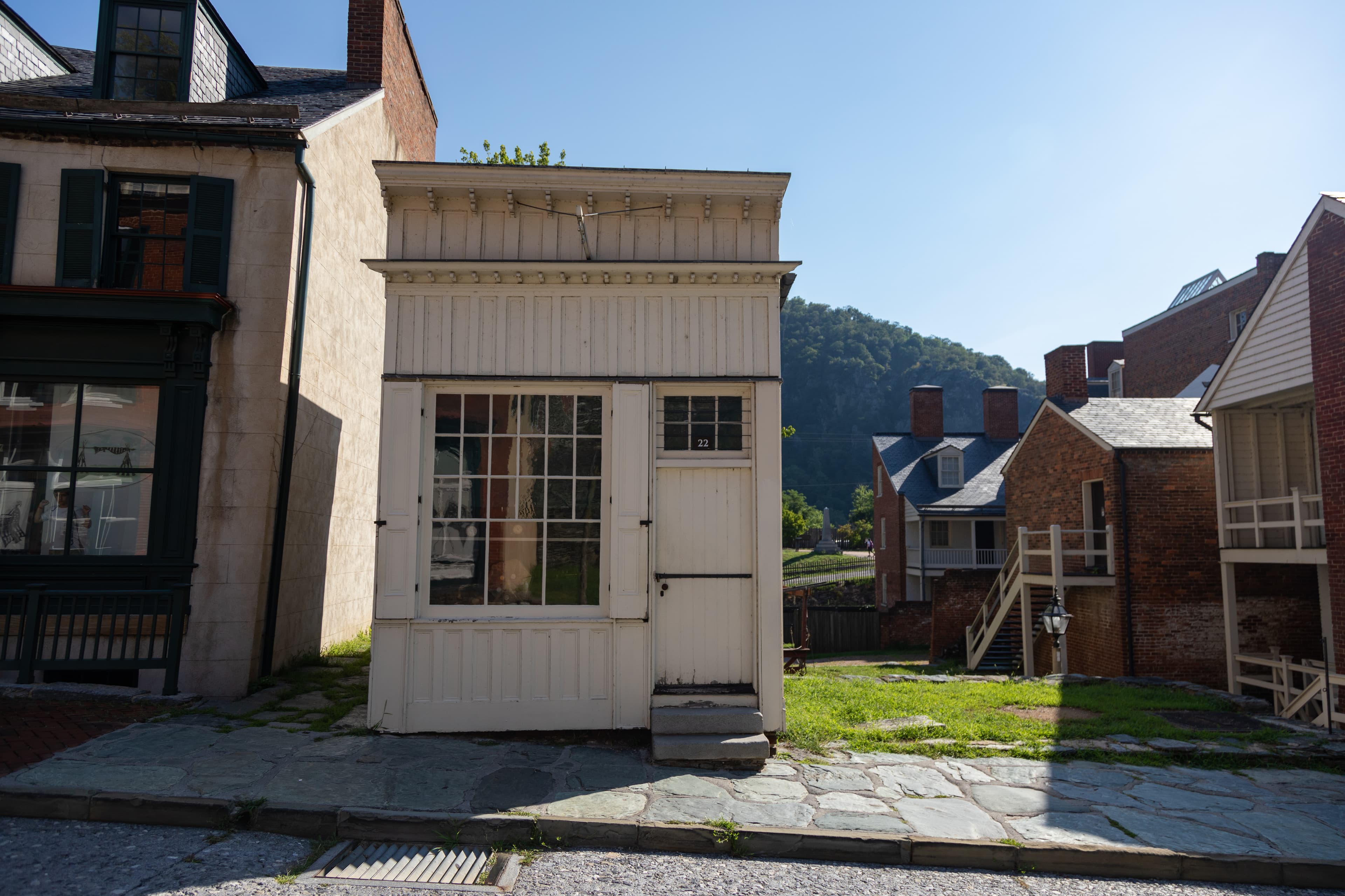
A. Burton Fine Watch Repair
audio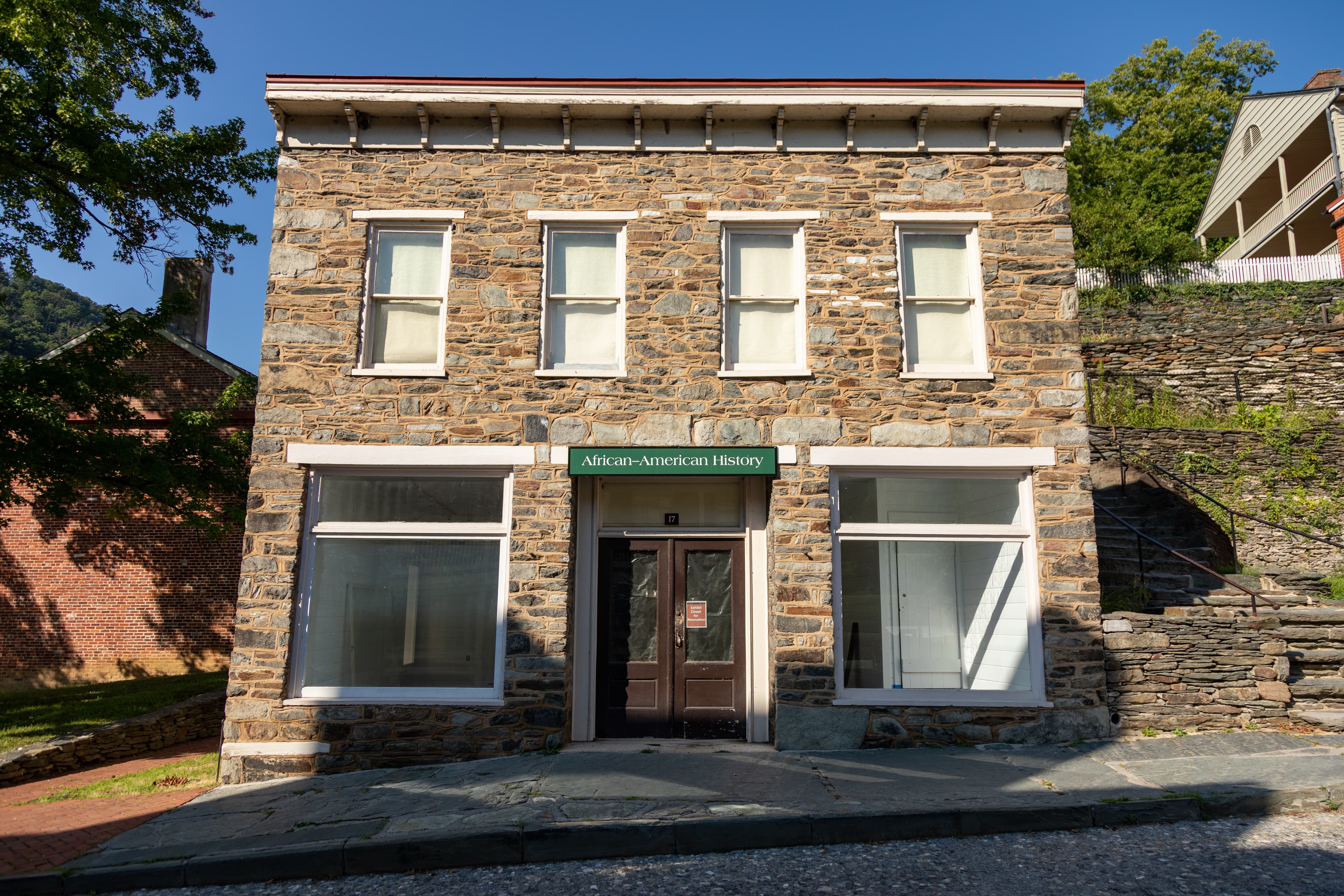
African American History Museum
audio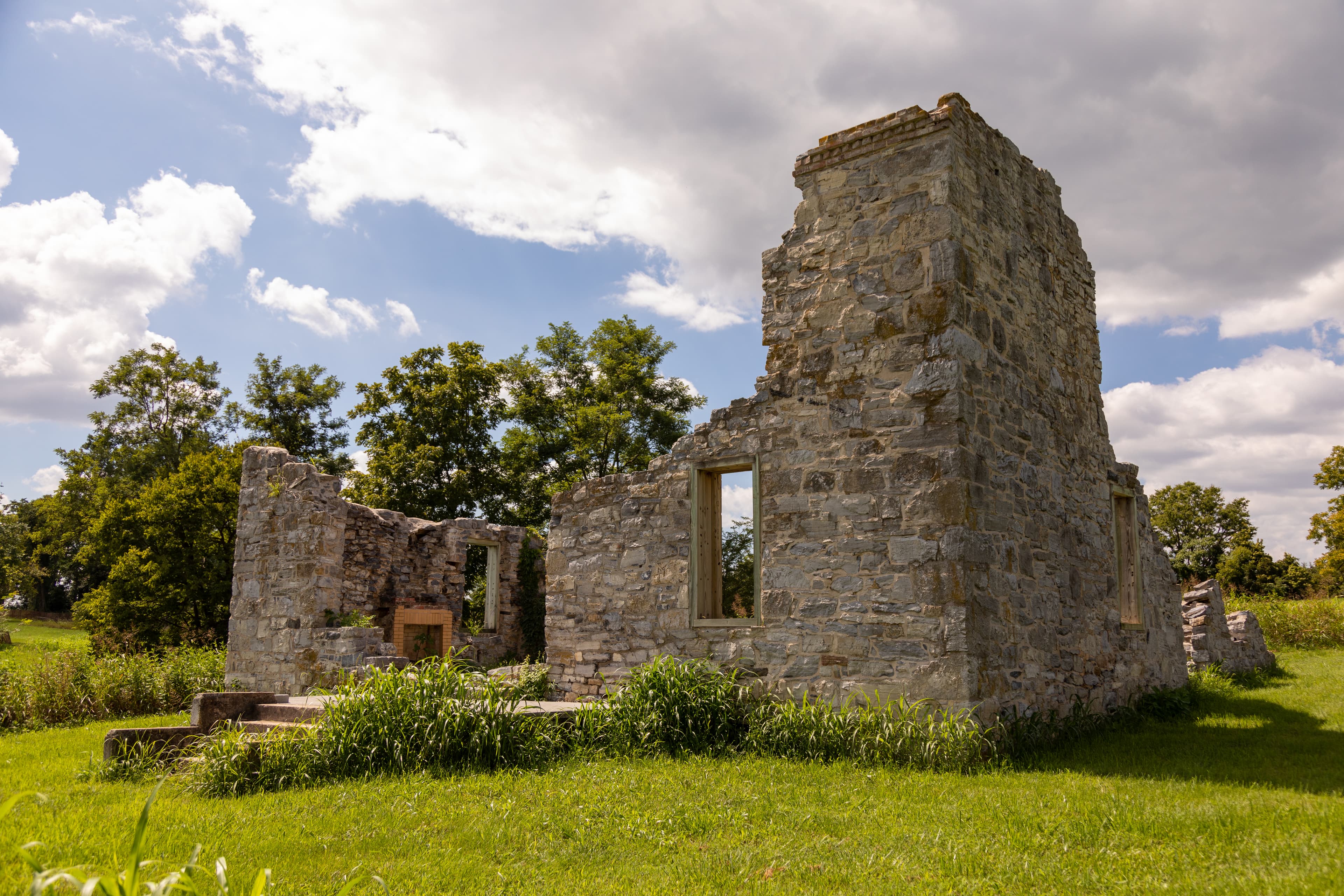
Allstadt Ruins
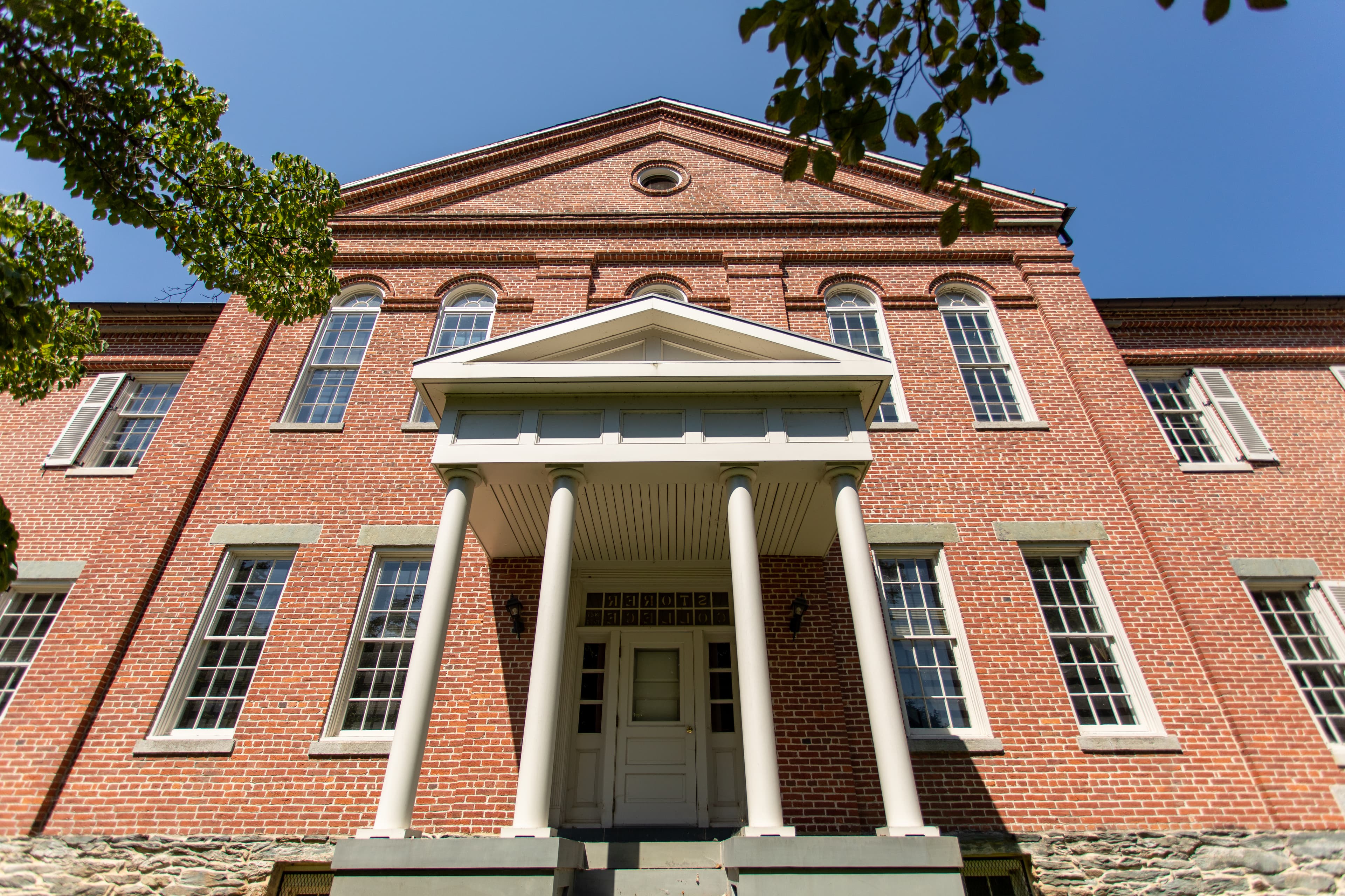
Anthony Hall - Mather Training Center
audio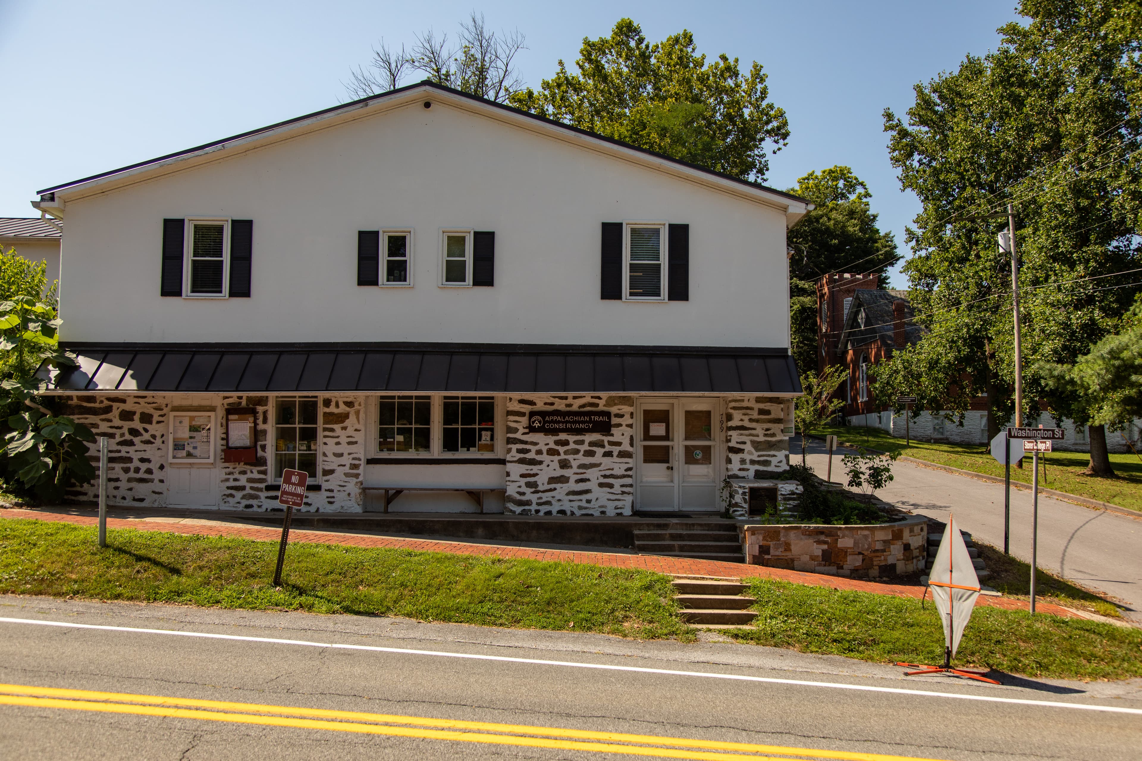
Appalachian Trail Conservancy
audio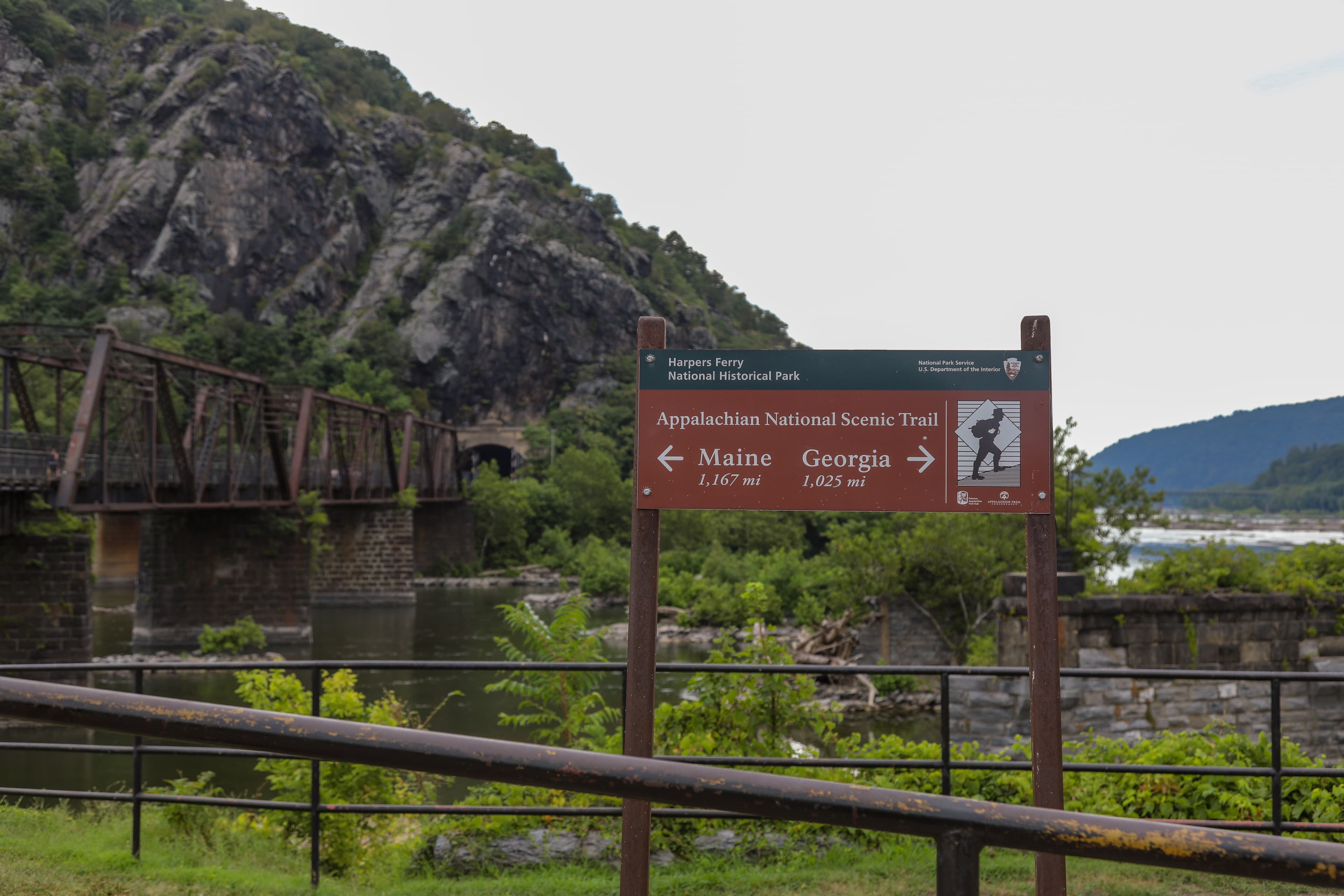
Appalachian Trail Trailhead at The Point
audio
Armory Grounds
audio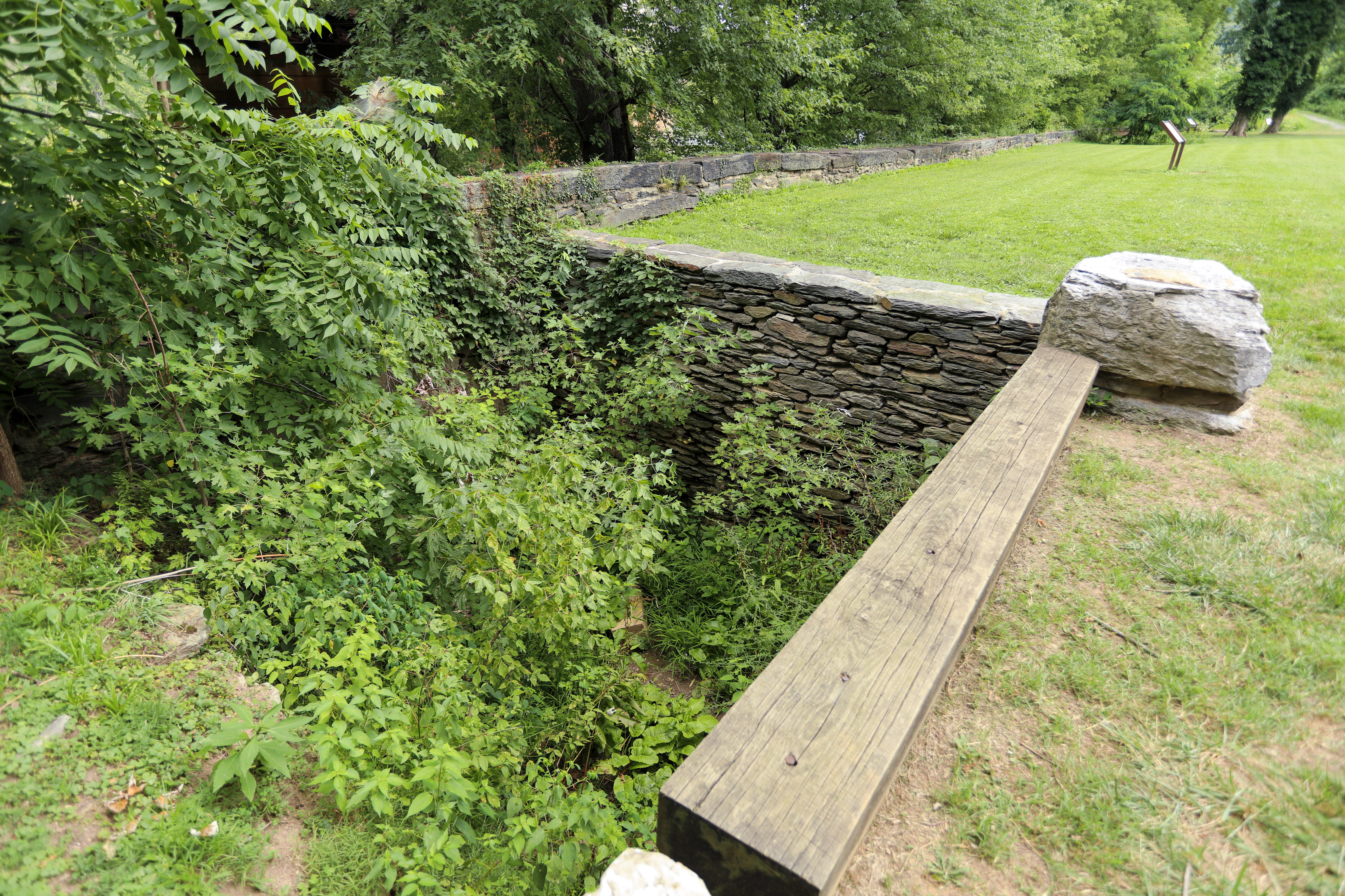
Armory Pit

Baltimore & Ohio Bridge Ruins
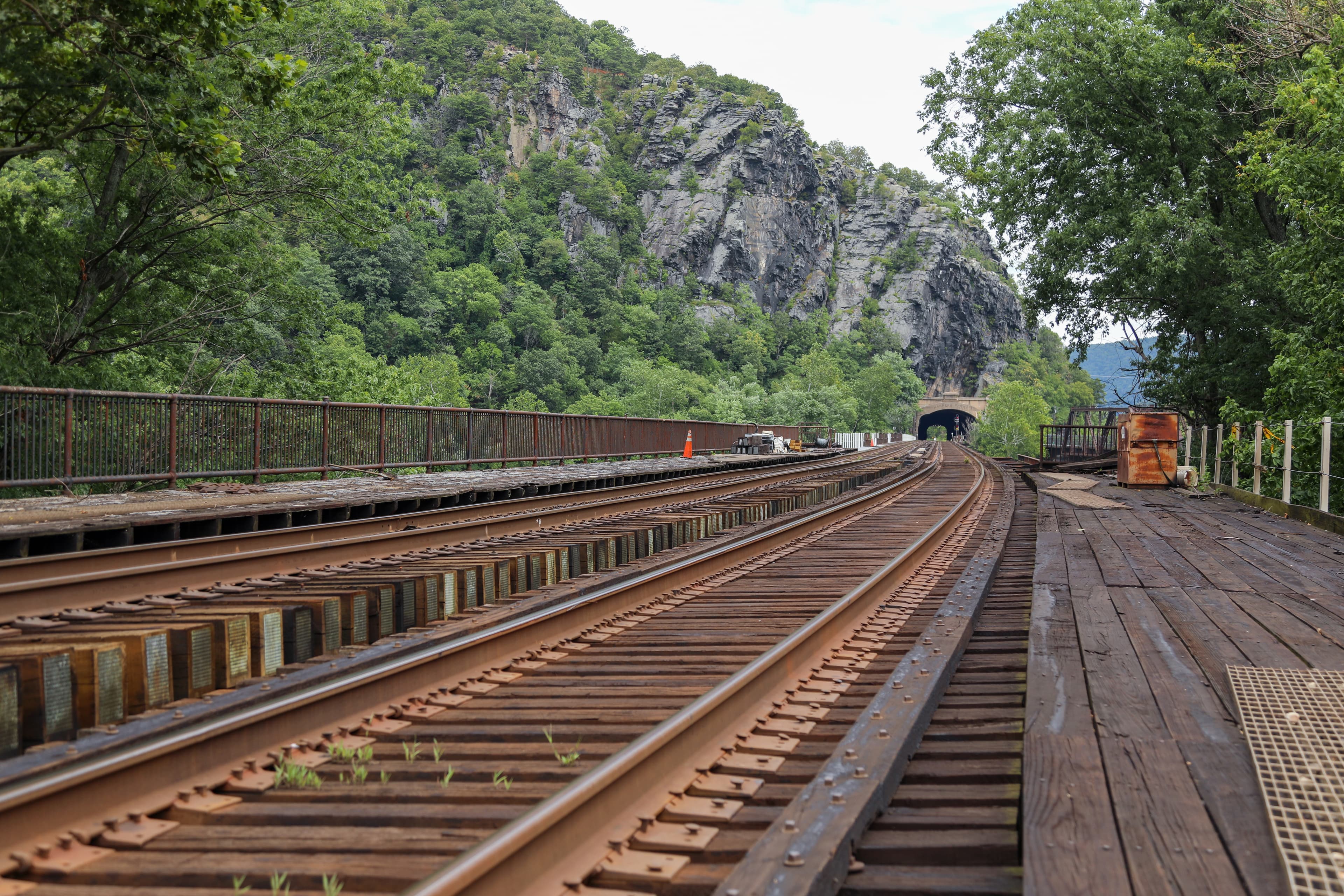
Baltimore and Ohio Railroad
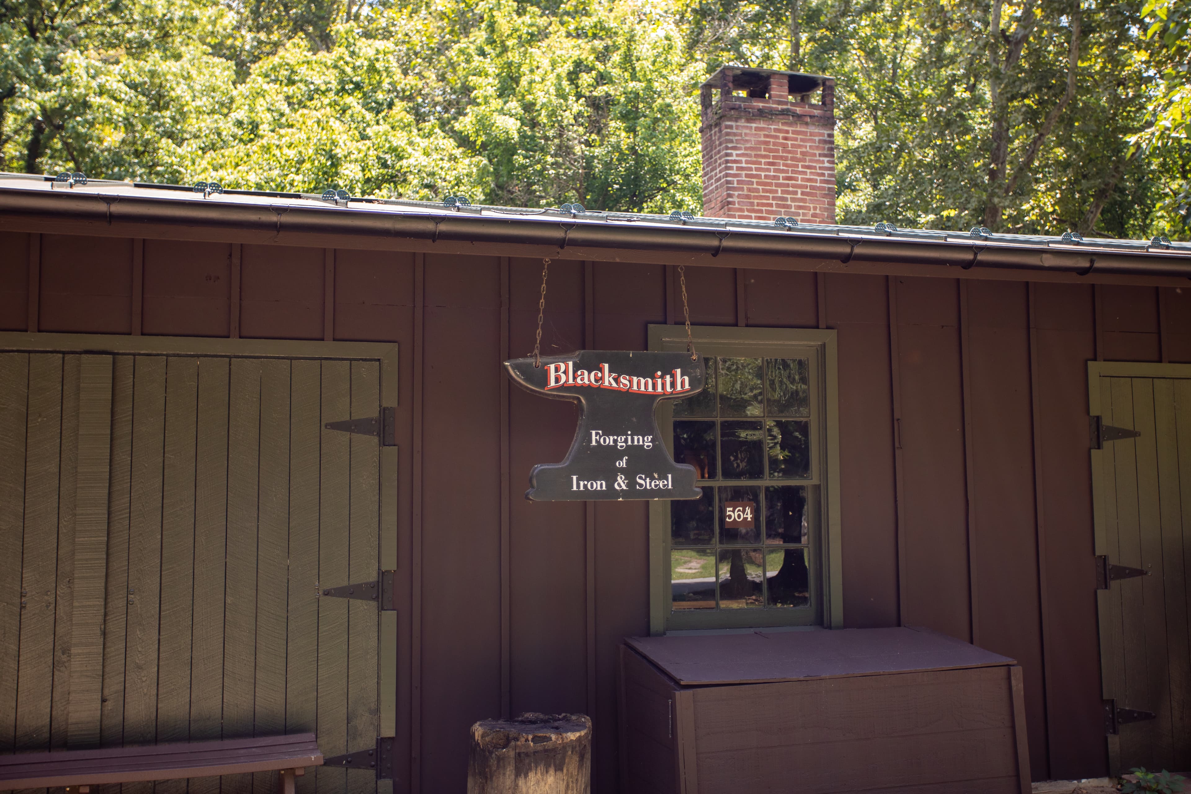
Blacksmith Shop - Harpers Ferry
audioAudio & media
🎧 George King Storer College, Class of 1947 ↗ · 2 mintranscript
🎧 Dewitt Jacobs Storer student ↗ · 0 mintranscript
🎧 Margaret Jackson Smelley Storer student ↗ · 2 mintranscript
🎧 Sesquicentennial Panel Discussion, "Harpers Ferry 1862: Beyond the Battle" ↗ · 93 mintranscript
🎧 Cynthia Oates Attended Storer College, 1953-1955 (close of school) ↗ · 1 mintranscript
🎧 Keynote Address "September Suspense" by Dennis Frye ↗ · 49 mintranscript
🎧 George King Storer College, Class of 1947 ↗ · 1 mintranscript
🎬
🖼
Learn more
Who were John Brown's raiders? Why did they join him? What was the fate of each man? Learn about them all in this article.
Uncover the hidden history of World War I in the national parks!
In 2012, seven rangers were awarded the national and region Freeman Tilden Awards for innovative and exciting interpretive programs. Learn their stories and more about their award-winning programs.
Few employees have left as visible a mark on National Park Service (NPS) exhibits as John A. Segeren. His work has been enjoyed by generations of park visitors who never knew his name but appreciated his intricate wood carvings and playful animal figures displayed in parks throughout the system. A master woodcarver described by former President Lyndon B. Johnson as "a legacy to this country," Segeren carved out his own place in NPS history.
What if your office were the woods? Your break room a mossy log? This is the reality for members of the Inventory & Monitoring forest vegetation crew. The team has collected data on forest health in NCR parks every year since 2006 and recently completed the fourth cycle of forest vegetation monitoring (2018-2022). Learn what staff biologists and technicians have to say about their experiences in the field these past five years.
This timeline follows events revolving around civil rights in the National Capital Area and related people, places, parks and more.
There is the prevailing misconception that African Americans do not participate in outdoor recreation; however, this misconception is far from reality. While racially exclusionary practices attempted to impose limits on African American participation in outdoor recreation, African Americans participated in opportunities offered by the larger society and also carved out spaces of their own.
Poor air quality is a common problem in many urban areas. It can lead to decreased human health, damage to landscape materials and ecosystem processes, and spoiled scenic views due to reduced visibility. The National Park Service monitors and assesses air quality in park units. The trees in NPS’s urban forests contribute to improved air quality.
Ranger School
Park-grounded courses you can learn with the Ranger.
Incident at Harpers Ferry: Slavery and John Brown
Open →
The Battle of Harpers Ferry 1862: Joining Up!
Open →
The Battle of Harpers Ferry 1862: Joining Up!
Open →
How Harpers Ferry National Historical Park connects
This park's activities, topics, location, and on-the-ground places — one hop in the graph. Drag to explore; click an activity, topic, or related park to follow it.
Park
Activity
Topic
State
VisitorCenter
PassportStamp
ParkingLot
Trail
ThingToDo
Alert
Similar parks
Share activities & topics with Harpers Ferry National Historical Park.