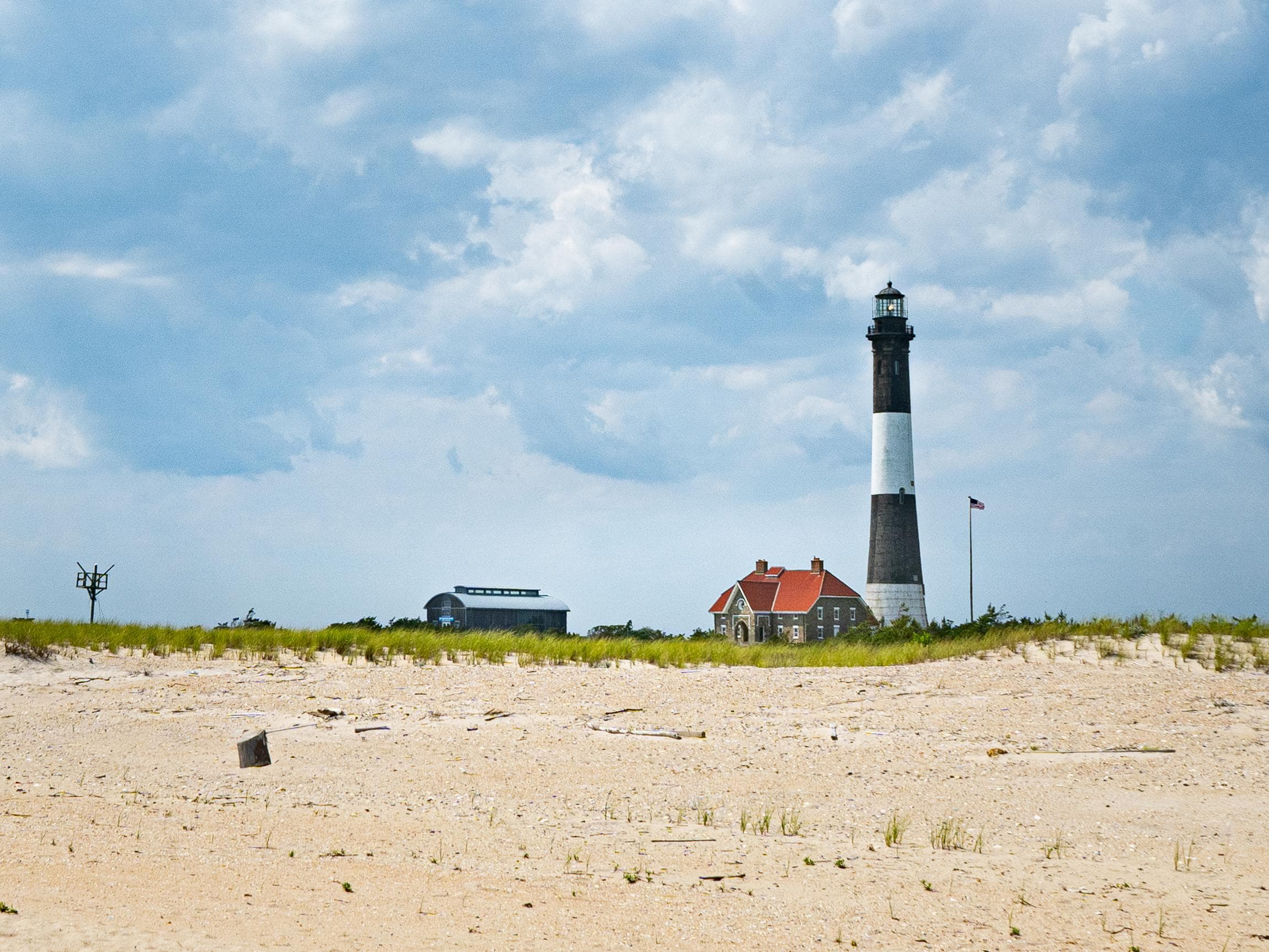
Fire Island National Seashore
New York
Tonight
🌓 65% moon
8.7 h fully dark
Hikes
Easy–Strenuous
🟢 🔴
Crowds
low
Open today
Open
Entrance
Free entry
Disruption of telephone service at Otis Pike Wilderness Visitor Center
Telephone service to or from the Visitor Center is not working. Please call Seashore HQ at 631-515-5557 for assistance.
Talisman-Barrett Beach Dock Closed for 2026 Season; Services Limited
Due to damage from winter ice, the Talisman-Barrett Beach dock is closed. NPS staff are evaluating options for repairs. There is no timeline for restoration. Boaters should plan to anchor in the bay to access the site. Be advised that the area is extremely shallow. Restroom maintenance will be limited during this time and visitors must pack out all trash and belongings. Public use of some areas will be restricted for safety.
Official NPS alert →Pet Restrictions, Beach Driving Closures in Effect March 15 through Labor Day
To protect threatened nesting shorebirds, pets are prohibited in the Otis Pike Wilderness and on federally-managed ocean beaches. Beach driving is closed at Lighthouse Beach, Sailors Haven and the Wilderness area.
Official NPS alert →Possession or use of marijuana inside Fire Island National Seashore is prohibited.
While New York provides for regulated possession and use of marijuana, it remains an illegal drug under federal law and enforced within National Park units.
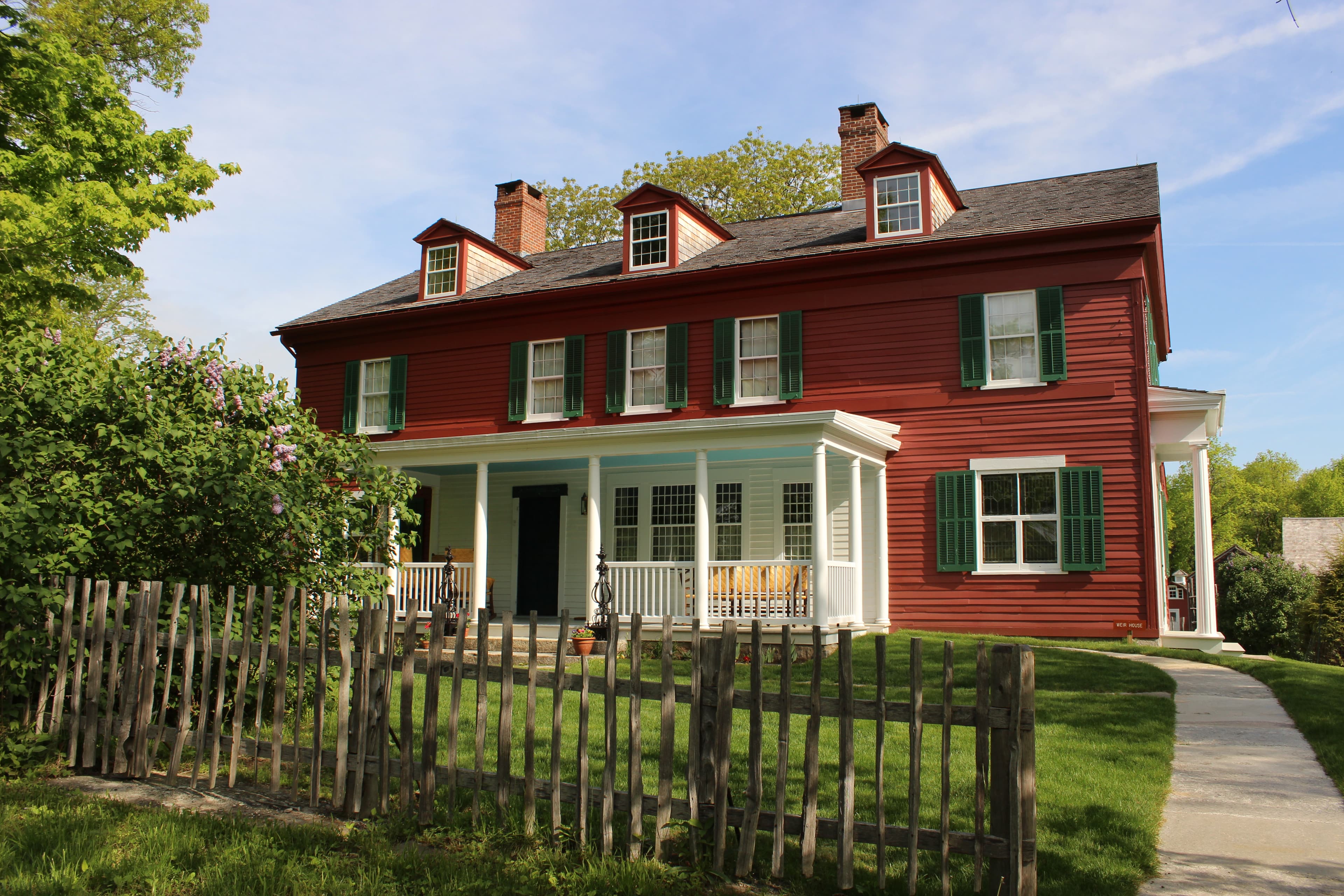
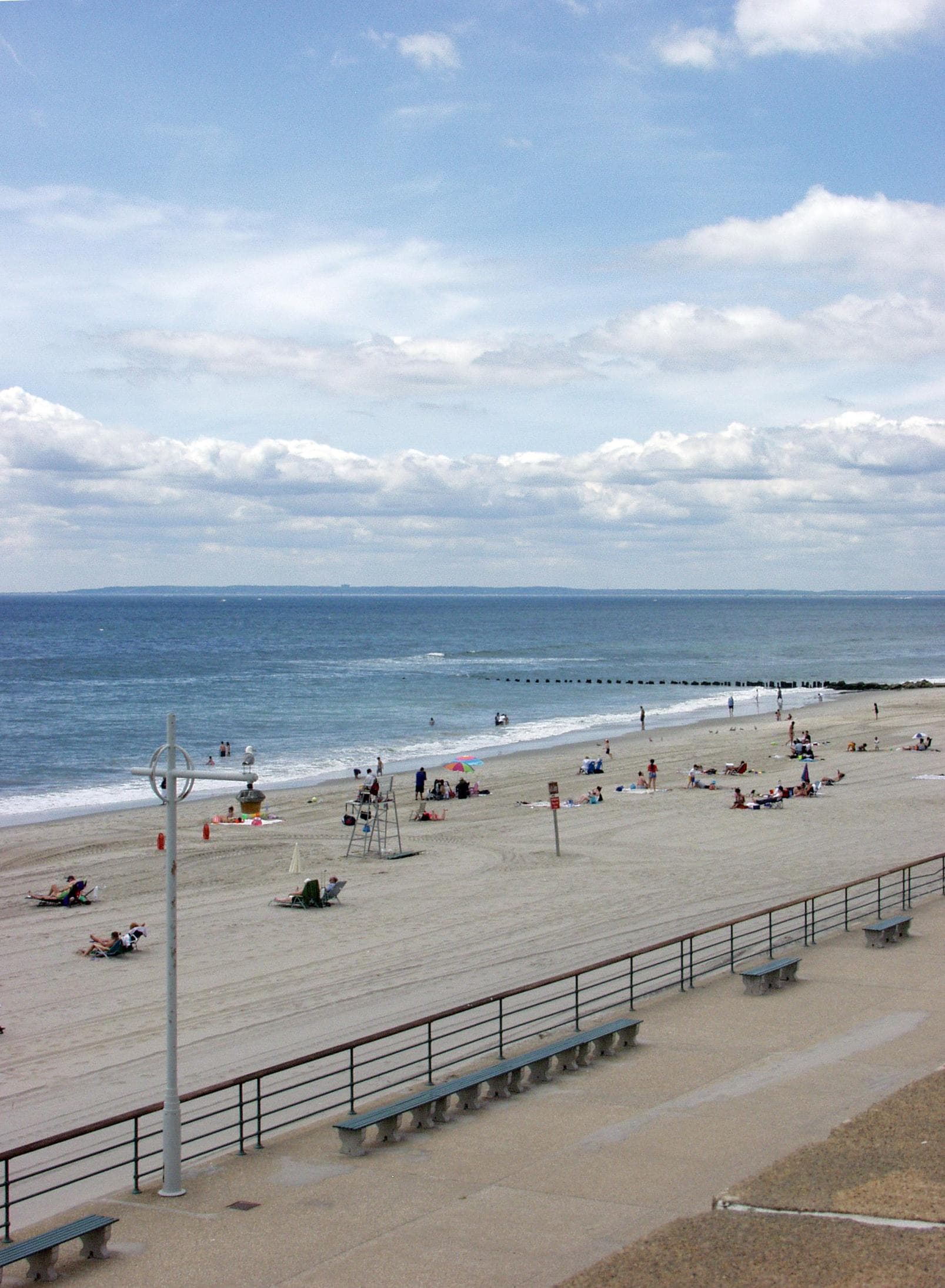
Immerse yourself in an enchanting collage of coastal life and history. Rhythmic waves, high dunes, ancient maritime forests, historic landmarks and glimpses of wildlife, Fire Island has been a special place for diverse plants, animals and people for centuries. Far from the pressure of nearby big-city life, dynamic barrier island beaches offer solitude, camaraderie, and spiritual renewal.
Activities
Topics
No entrance fee.
Hours & seasons
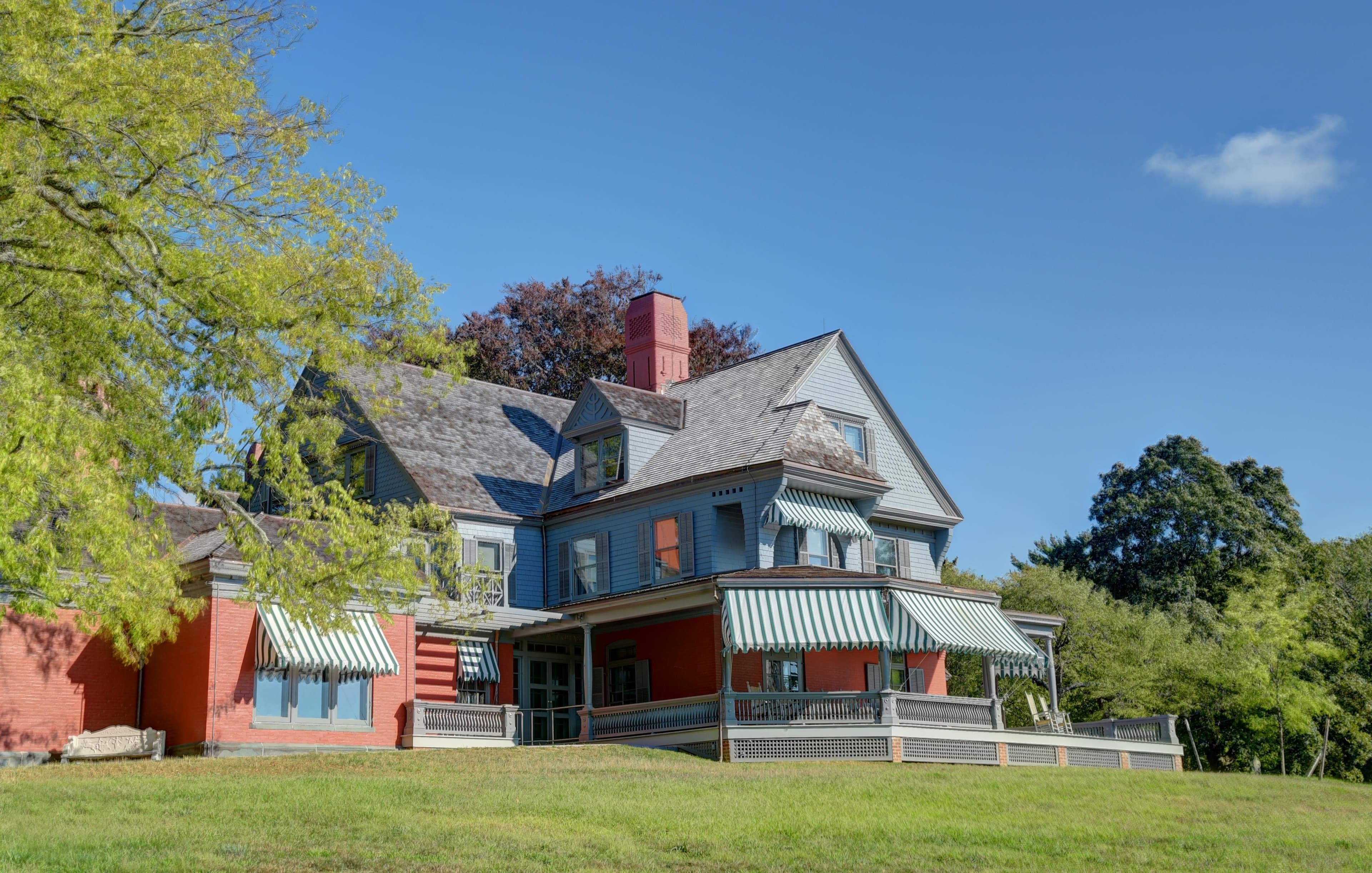
Fire Island National Seashore encompasses five National Park Service sites on Fire Island, and headquarters and the William Floyd Estate on Long Island. The Fire Island Lighthouse, the William Floyd Estate and Wilderness Visitor Center are open year-round. Watch Hill and Sailors Haven on Fire Island are open seasonally. Please be sure to check the hours of operations and the exceptions tab for each site you plan to visit.
Generally open:
winterspringsummerfallHours are reported by the park — verify before you go.
📞 631-515-5557
✉ FIIS_Information@nps.govConditions
Quietest months (fewer crowds): Jan, Feb, Mar, Dec
Typical crowds: low
Weather now: 🌧️ Rain, 69°F
🌧️ 72°/67°
☁️ 70°/63°
🌦️ 66°/56°
Typical monthly recreation visits · NPS avg 2023–2025 — orange months are the quietest by crowds.
Quietest months
Relative crowds by month — lighter is quieter; ringed months are the calmest by crowds.
Jan
7%
Feb
10%
Mar
14%
Apr
19%
May
33%
Jun
68%
Jul
100%
Aug
92%
Sep
48%
Oct
35%
Nov
18%
Dec
9%
Log a sky reading
Measured the sky with an SQM meter or app? Add your reading (16 = city glow … 22 = pristine). Opt in under “Travelers like you” to share it on the community leaderboard.
Things to do
Burma Trail
🔴 Backcountry Camping in the Otis Pike Wilderness
🟢 Fishing Fire Island
Boating Fire Island
Birding at Fire Island
Tour the Tower! · 20 mi · 168 ft gain · Tours are offered every day based on volunteer availability. Tours can vary greatly in duration depending on the visitor. It typically takes between 30 minutes to an hour to ascend and descend the tower.
Campgrounds
Backcountry Camping in the Otis Pike High Dune Wilderness ↗ · 36 sites · first-come
Watch Hill Campground ↗ · 28 sites
Visitor centers
Fire Island Lighthouse
Sailors Haven Visitor Center
Watch Hill Visitor Center
Wilderness Visitor Center
William Floyd Estate
Accessibility
18 audio-described place(s)
Reported by the park — verify before you go.
Not an official safety source — always defer to NPS.gov and rangers for life-safety decisions.
By the numbers
A visual read on Fire Island National Seashore — its character, trails, sky, and weather.
Park fingerprint
How this park scores across the dimensions travelers care about.
Trail difficulty
Difficulty mix across this park's trails.
Trail profile
Each dot is a trail — distance vs. elevation gain, by difficulty.
3-day forecast
Daily high and low temperatures (°F).
People & stories
Figures tied to Fire Island National Seashore — each spans a cross-park journey.
Margaret Fuller
— Feminism, Feminist Movement, SuffragePassport stamps
Mark the stamps you've collected — they show in your memory and along your routes.
🎫 Fire Island Lighthouse
🎫 Sailors Haven Visitor Center
🎫 The William Floyd Estate
🎫 Watch Hill Visitor Center
🎫 Wilderness Visitor Center
🎫 William Floyd Estate
Places to see
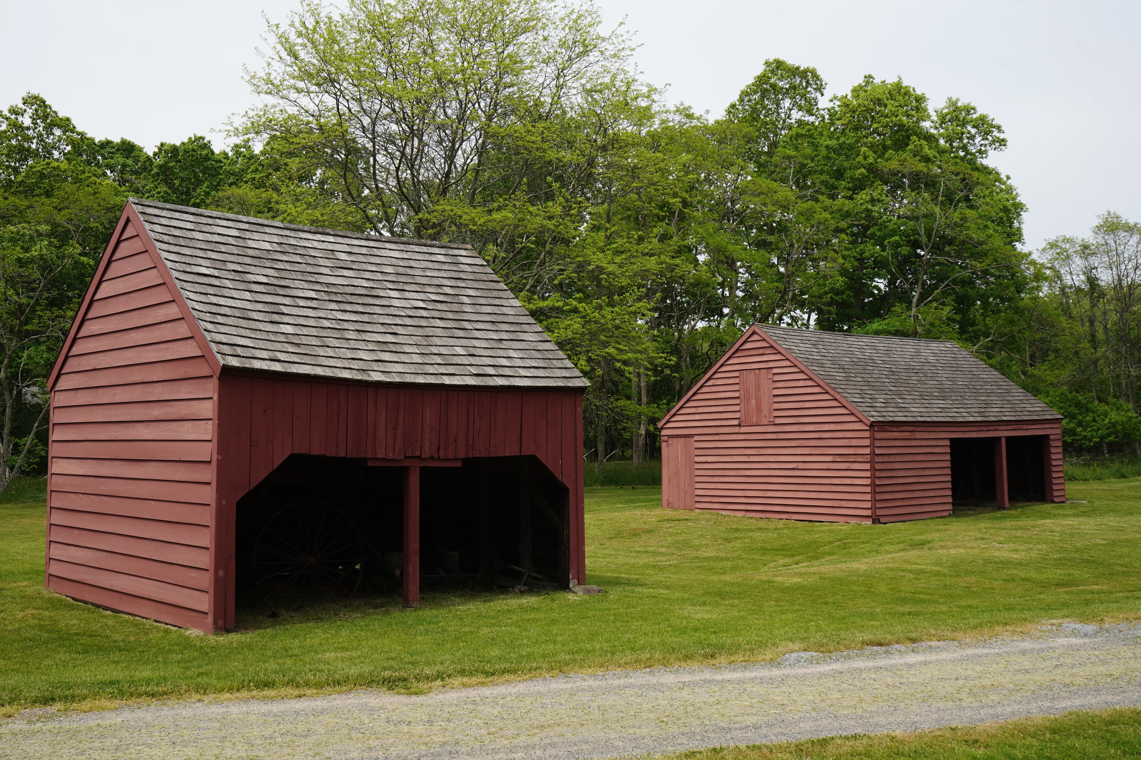
Barnyard Trail: Barns
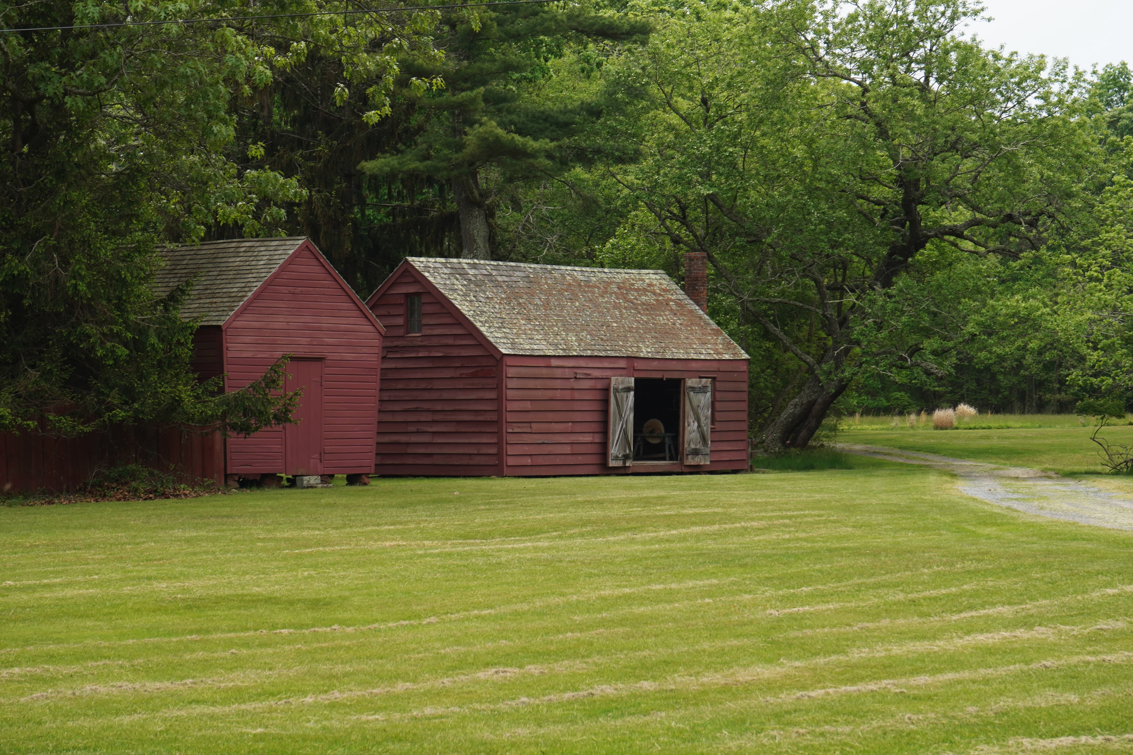
Barnyard Trail: Barnyard
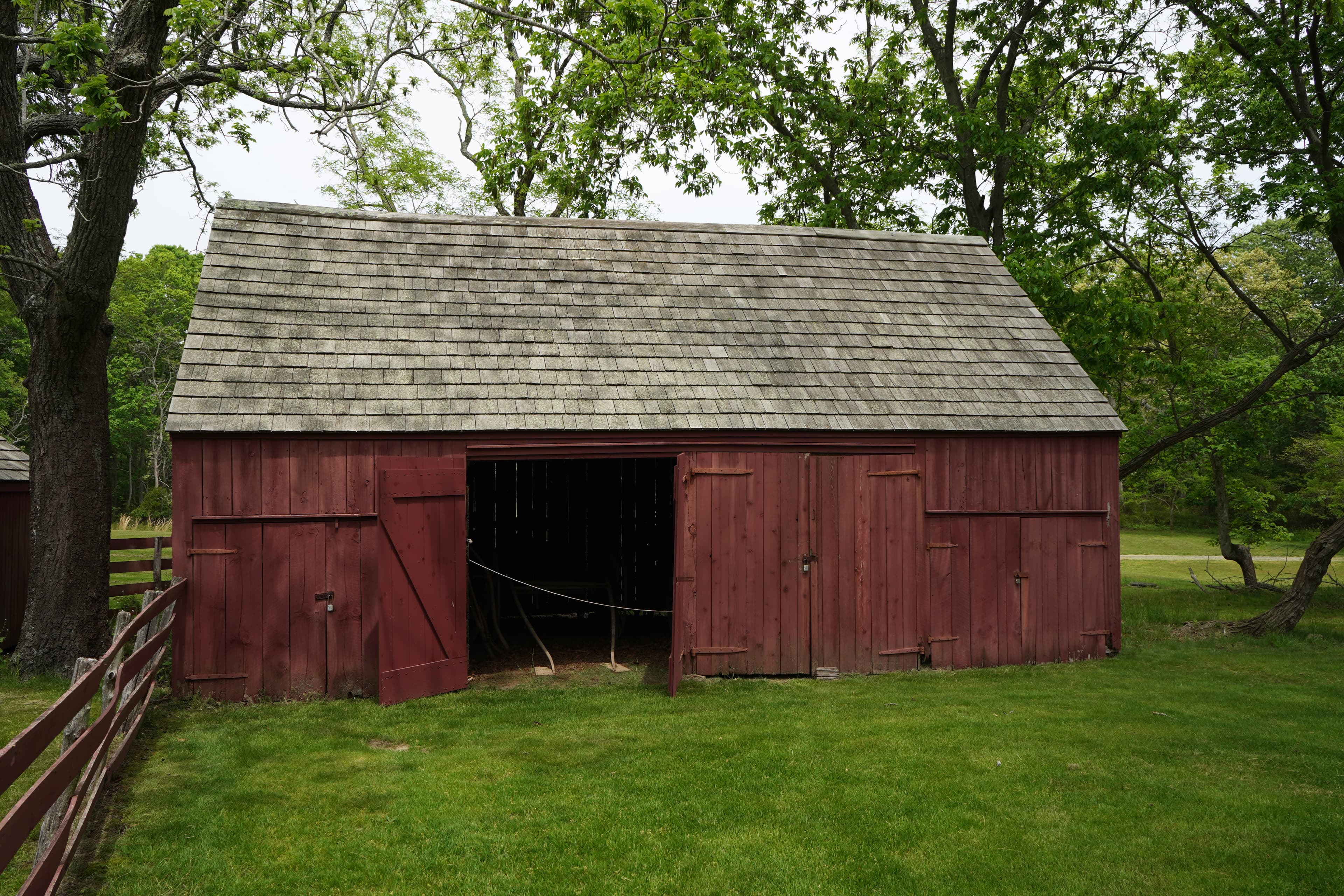
Barnyard Trail: Carriage House
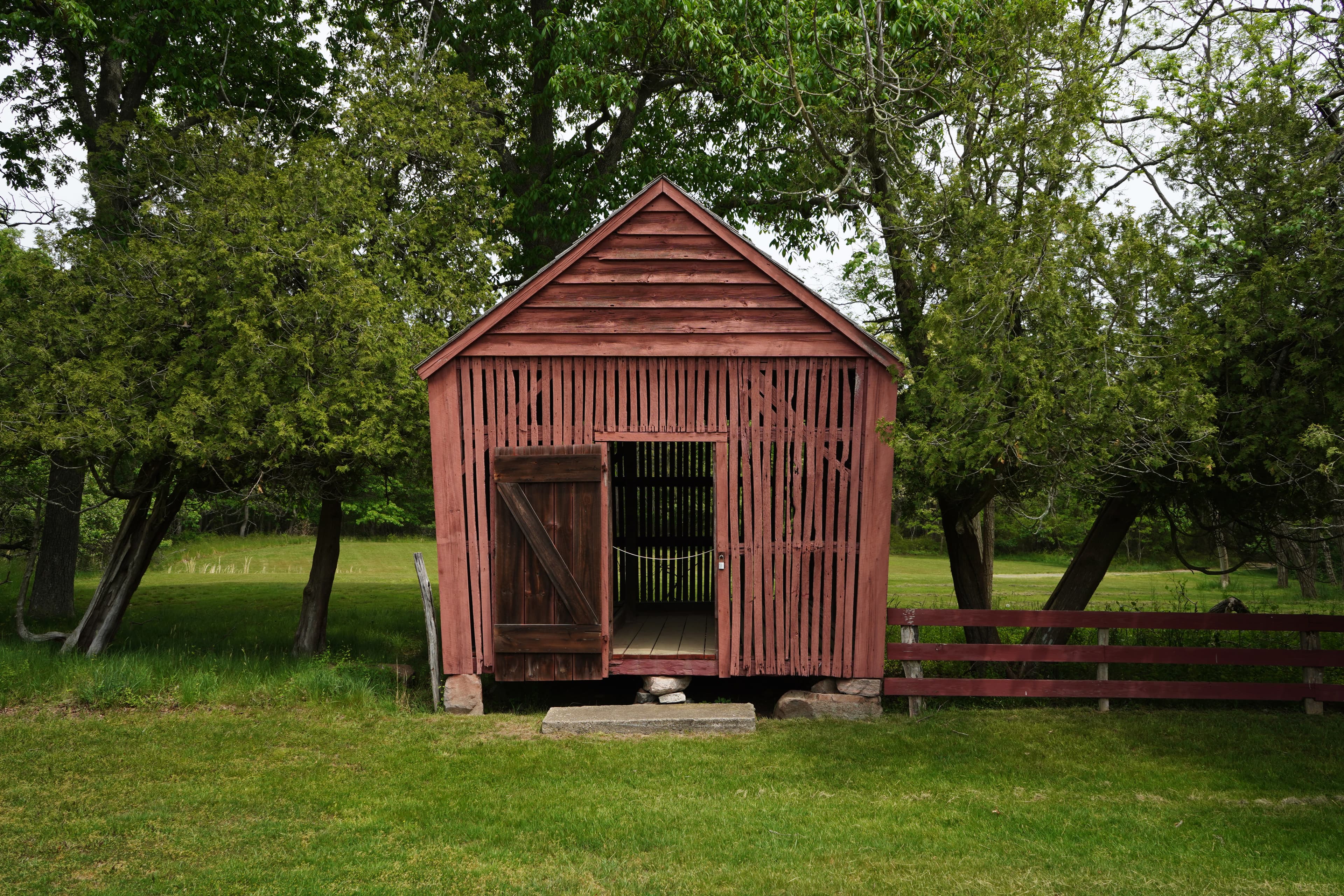
Barnyard Trail: Corn Crib
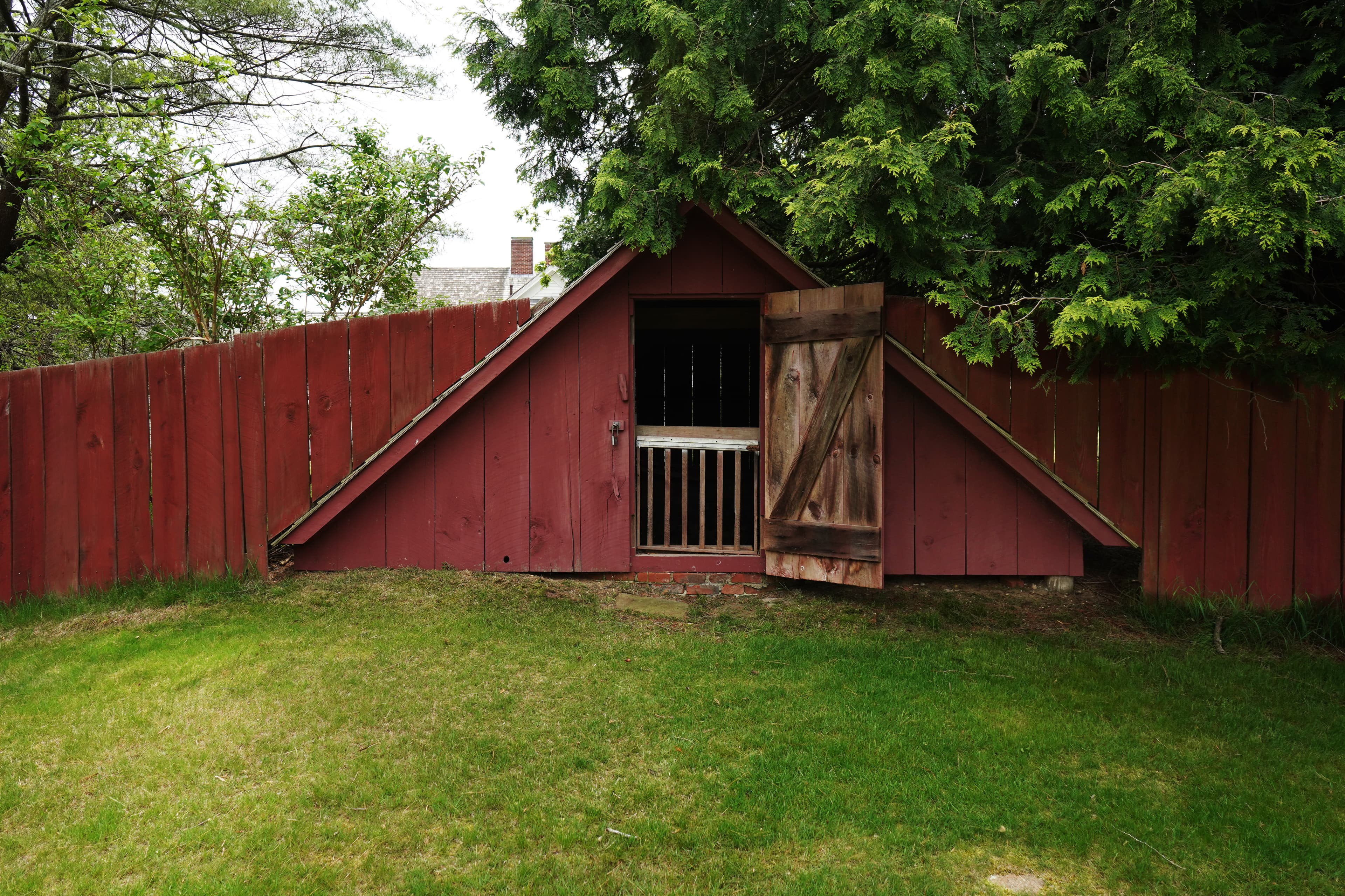
Barnyard Trail: Ice House
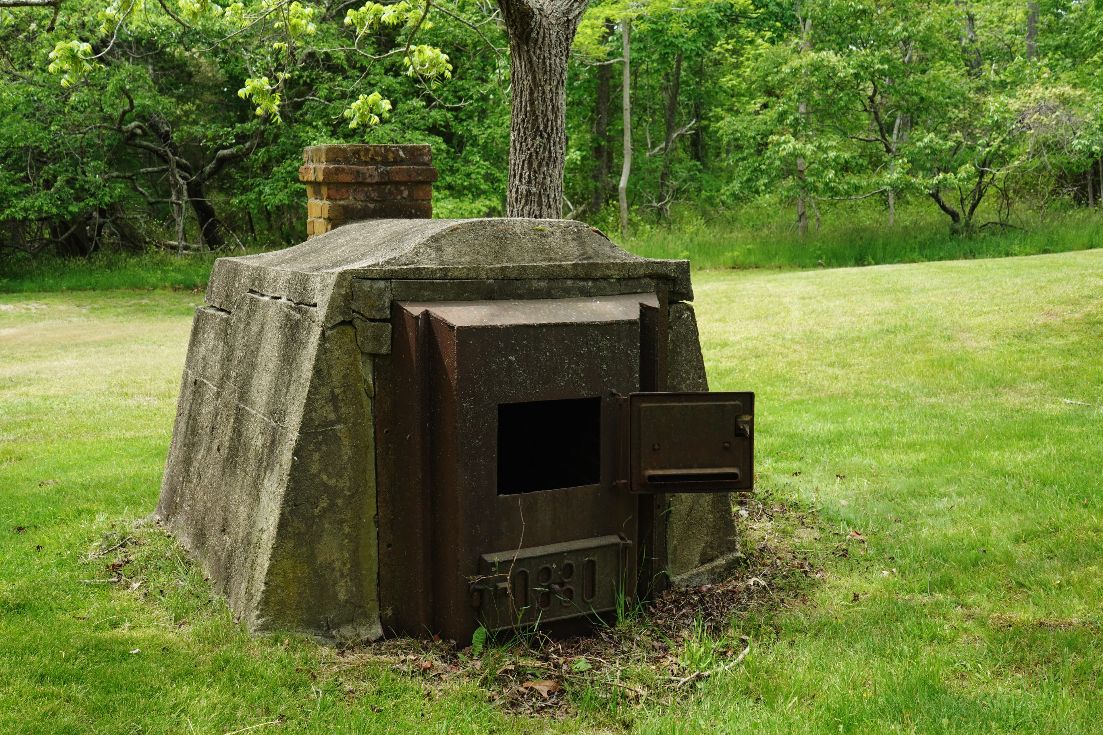
Barnyard Trail: Incinerator
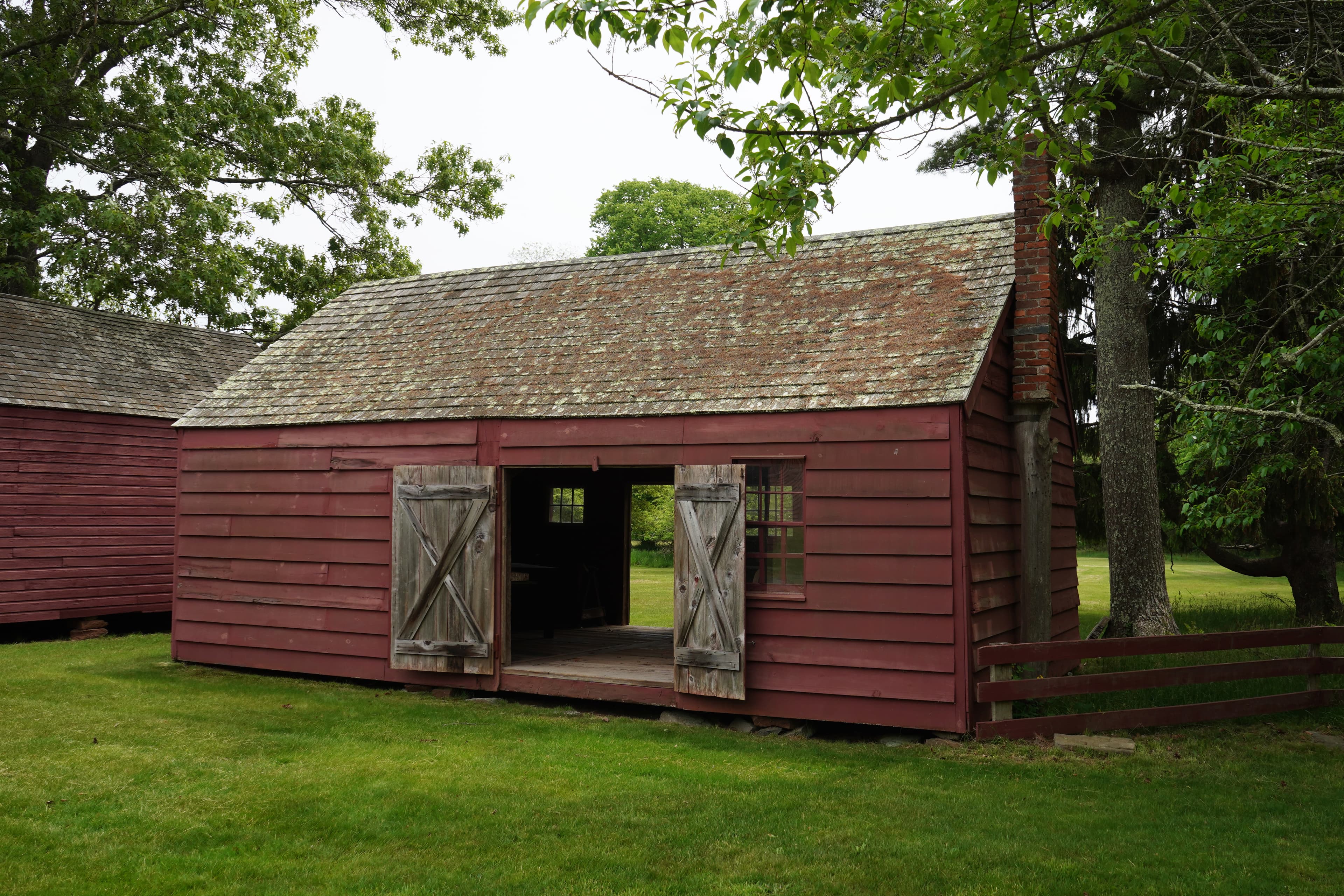
Barnyard Trail: Old Shop

Barnyard Trail: Woodshed
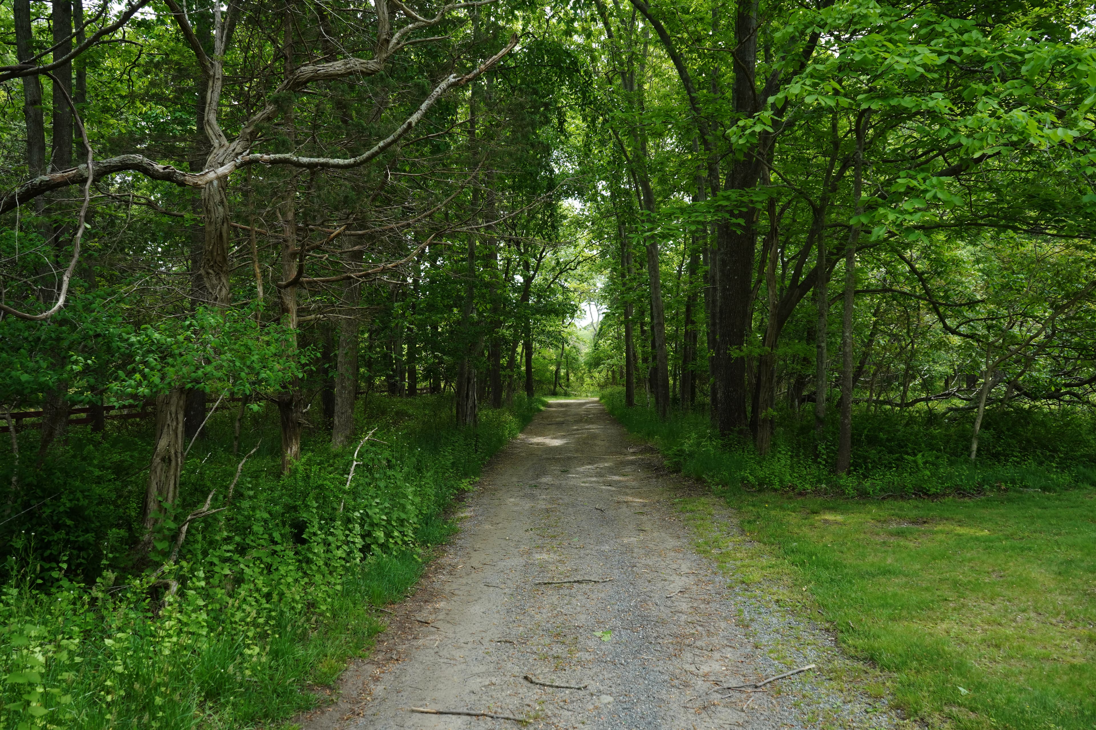
Farewell
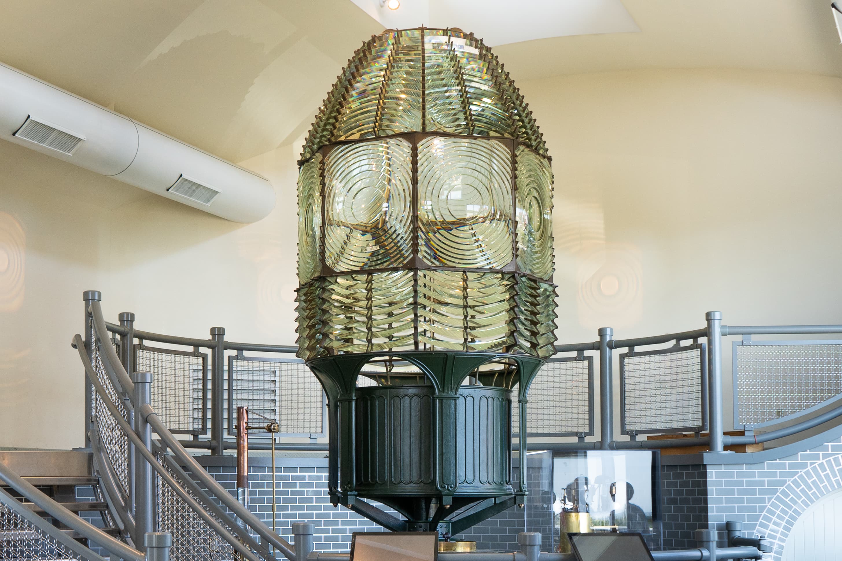
Fire Island Light Station Fresnel Lens Building
audio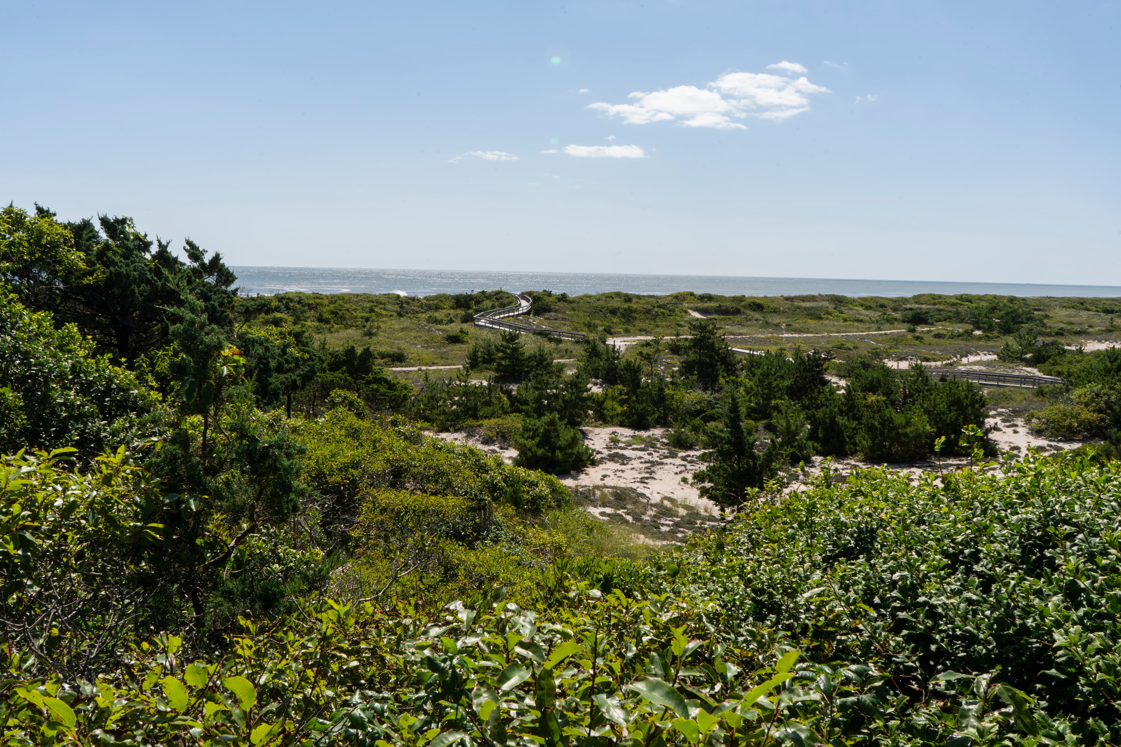
Fire Island: A Story of Change
audio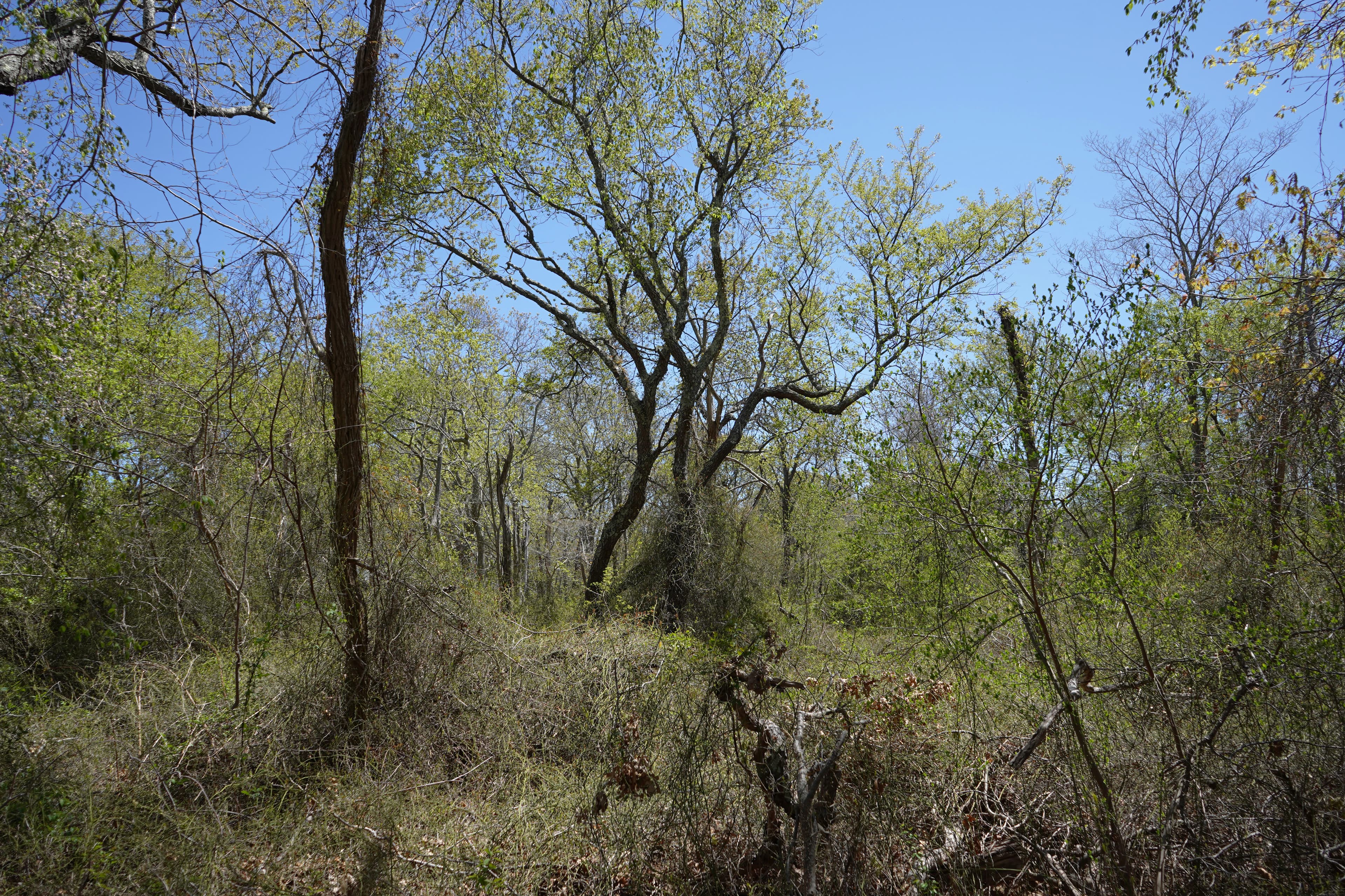
Land Use Trail: Boardwalk Landing
Audio & media
🎧 The William Floyd Estate ↗ · 6 mintranscript
🎧 Fifth Window Landing: Fire Island Lighthouse Self Guided Tower Tour ↗ · 1 mintranscript
🎬
🖼
Learn more
Learn the invaluable contributions of the 2016 Hartzog winners, celebrating excellence in volunteerism.
Fire Island National Seashore (FIIS) is a 7,810 ha park on the South Shore of Long Island, New York. Approximately 46% of this area is submerged estuarine land in Great South Bay and Moriches Bay. Although FIIS owns only a minority portion of the submerged land in these bays, the area in park ownership is, nonetheless, extensive.
Dr. Peter August, a University of Rhode Island professor who specializes in GIS, has collaborated with the National Park Service (NPS) for over 20 years. After Hurricane Sandy, August led the team that created the very first bytes of GIS data for several National Parks in the northeast coastal region. They gathered essential elevation data and established a data management system so that coastal parks will be better prepared for future storms.
My name is Jhulian Stanley Gutierrez, I am Fire Island National Seashore’s 2020 Latino Heritage Internship Program (LHIP) intern. My internship is a partnership program with the National Park Service, Environment for the Americas, and Hispanic Access Foundation. Day 6 of my internship, I had met National Park Service Deputy Director David Vela and Superintendent Alexcy Romero.
In 2018, researchers determined that northern long-eared bats were reproducing at Fire Island National Seashore. This rare species is protected by the Endangered Species Act and has been decimated by white-nose syndrome. The seashore is currently working to better understand its bat communities and determine what habitats are most critical for bat conservation.
Bats can call seashores home, too! See what Fire Island National Seashore learned while monitoring for bats.
Bats are amazing animals and a formidable force against insect pests, but a nasty fungal disease is killing them. A coordinated national response brings hope.
Across the US, changes in water availability are altering which plants grow where. These changes are evident at a broad scale. But not all areas experience the same climate in the same way, even within the boundaries of a single national park. A new dataset gives park managers a valuable tool for understanding why vegetation has changed and how it might change in the future under different climate-change scenarios.
How Fire Island National Seashore connects
This park's activities, topics, location, and on-the-ground places — one hop in the graph. Drag to explore; click an activity, topic, or related park to follow it.
Park
Activity
Topic
State
Campground
VisitorCenter
PassportStamp
ThingToDo
Alert
Similar parks
Share activities & topics with Fire Island National Seashore.