Big South Fork National River & Recreation Area
Kentucky, Tennessee
Tonight
🌔 82% moon
9 h fully dark
Crowds
moderate
Open today
Open
Entrance
Free entry
Brewster Bridge Road to Temporarily Close for Repair and re-pavement
Brewster Bridge Road will be temporarily closed for repair and re-pavement from May to mid-summer. The road was heavily damaged during significant rain events in 2022 and 2023.
Official NPS alert →The Use of Drones is Prohibited at Big South Fork National River & Recreation Area
Currently, the use of drones is prohibited at Big South Fork and all National Parks. Detailed information about the policy is available...
Official NPS alert →Big South Fork Announces Temporary Closure of Blue Heron Tipple Bridge
Big South Fork NRRA has announced the temporary closure of the historic Blue Heron Tipple Bridge, effective immediately in the interest of visitor safety. A recent bridge safety inspection conducted by the Federal Highway Administration identified structural issues specific to the pier’s bridge decking which is now leaning beyond acceptable standards.
Official NPS alert →Firewood ban is in effect for the park.
Firewood ban is in effect for the park. Only firewood from the surrounding counties of Scott, Morgan, Pickett, and Fentress, in Tennessee, and McCreary in Kentucky, can be brought into the park. Firewood is for sale or you may use dead and down wood.
Official NPS alert →Black Bears at Big South Fork
Black bears call Big South Fork NRRA home. Help keep them healthy and safe by storing all food, cooking items, feed, cosmetics and coolers properly stored when at campgrounds or in the backcountry.
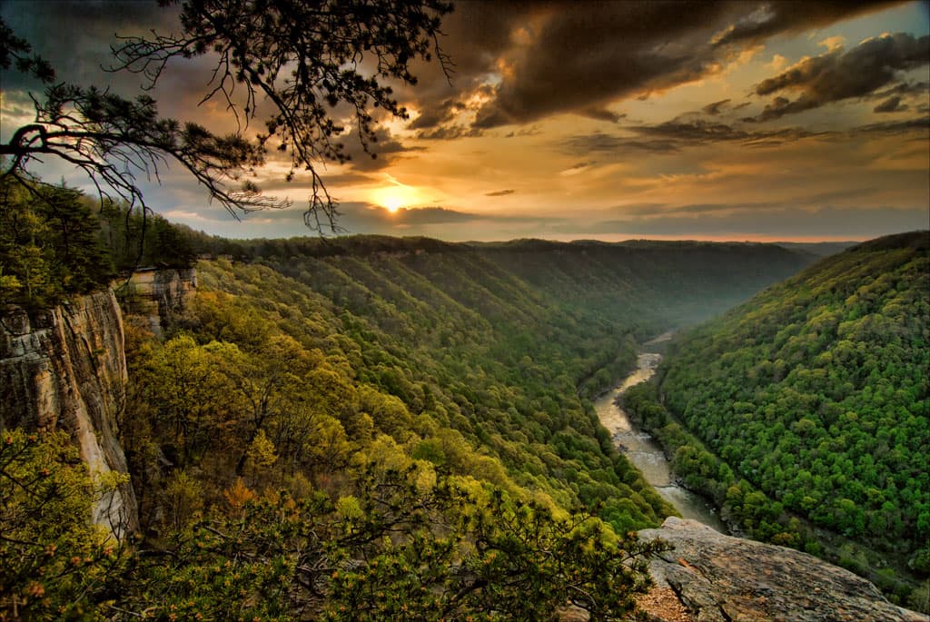
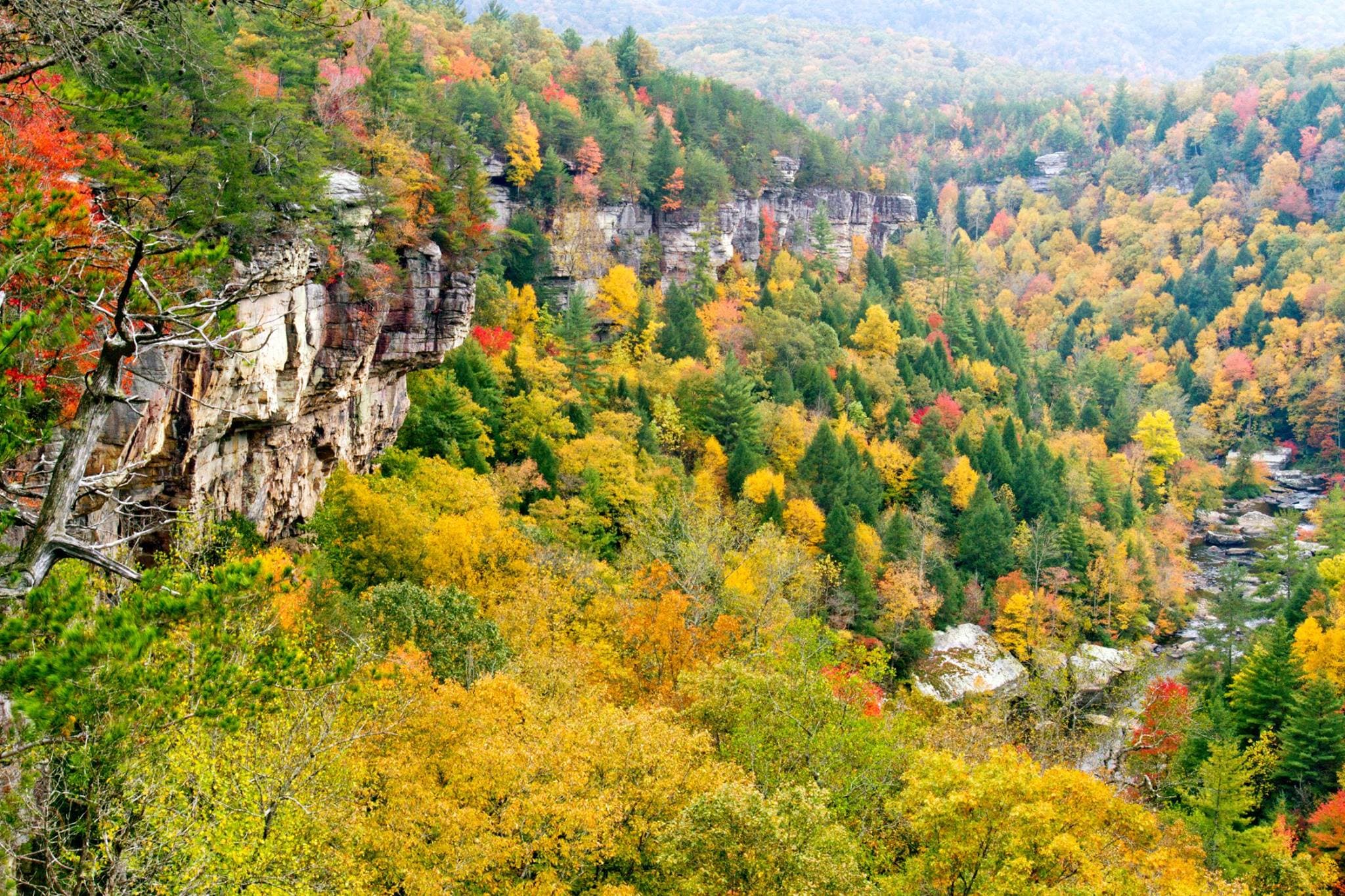
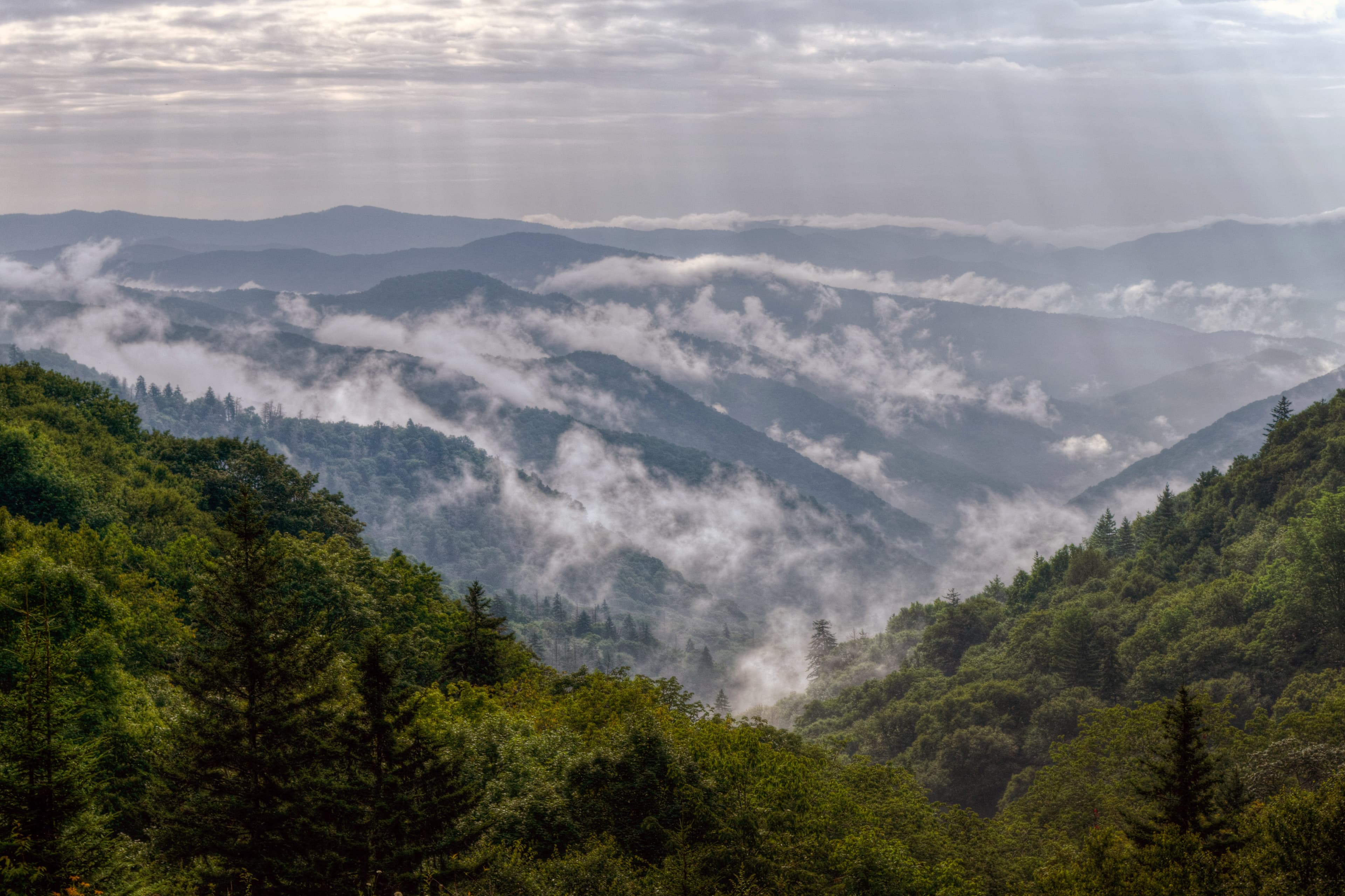
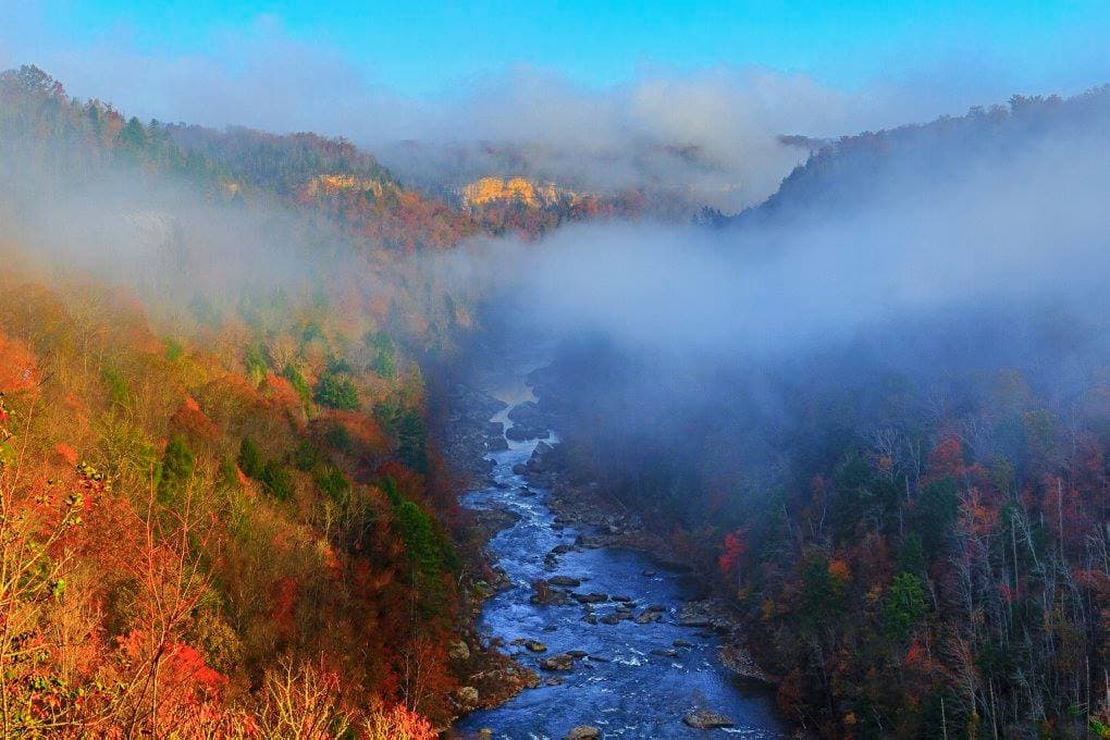
Official NPS alert →Encompassing 125,000 acres of the Cumberland Plateau, Big South Fork National River and Recreation Area protects the free-flowing Big South Fork of the Cumberland River and its tributaries. The area boasts miles of scenic gorges and sandstone bluffs, is rich with natural and historic features and has been developed to provide visitors with a wide range of outdoor recreational activities.
Topics
No entrance fee.
Hours & seasons
The park is always open.
Generally open:
winterspringsummerfallHours are reported by the park — verify before you go.
📞 4235699778
✉ biso_information@nps.govConditions
Quietest months (fewer crowds): Jan, Feb
Typical crowds: moderate
Weather now: ☀️ Clear, 89°F
🌦️ 92°/71°
☁️ 82°/70°
⛈️ 79°/62°
Typical monthly recreation visits · NPS avg 2023–2025 — orange months are the quietest by crowds.
Quietest months
Relative crowds by month — lighter is quieter; ringed months are the calmest by crowds.
Jan
35%
Feb
42%
Mar
51%
Apr
67%
May
87%
Jun
83%
Jul
82%
Aug
73%
Sep
80%
Oct
100%
Nov
58%
Dec
51%
Log a sky reading
Measured the sky with an SQM meter or app? Add your reading (16 = city glow … 22 = pristine). Opt in under “Travelers like you” to share it on the community leaderboard.
Campgrounds
Alum Ford Campground · 6 sites · first-come
Bandy Creek Campground ↗ · 149 sites · first-come · hookups · dump station
Bear Creek Campground ↗ · 23 sites · first-come · hookups · dump station
Blue Heron Campground ↗ · 45 sites · first-come · hookups · dump station
Station Camp Campground ↗ · 24 sites · hookups · dump station
Visitor centers
Bandy Creek Visitor Center
Blue Heron Interpretive Center
Crossville Visitor Center
Helenwood Visitor Center
Rugby Visitor Contact Station
Stearns Visitor Contact Station
Accessibility
5 accessible campground(s)
Reported by the park — verify before you go.
Not an official safety source — always defer to NPS.gov and rangers for life-safety decisions.
By the numbers
A visual read on Big South Fork National River & Recreation Area — its character, trails, sky, and weather.
Park fingerprint
How this park scores across the dimensions travelers care about.
3-day forecast
Daily high and low temperatures (°F).
Passport stamps
Mark the stamps you've collected — they show in your memory and along your routes.
🎫 Bandy Creek Visitor Center
🎫 Blue Heron Interpretive Center
🎫 Crossville Visitor Center
🎫 Helenwood Visitor Center
🎫 Rugby Visitor Contact Station
🎫 Stearns Visitor Contact Station
Audio & media
🎧
🎬
🖼
Learn more
A partnership between Georgia State University and the NPS Paleontology Program has enabled more focused paleontological resource support in parks in the Southeast Region of the U.S. During the past several years students mentored by Dr. Christy Visaggi have helped to complete paleontological resource inventories in several parks in the southeast region uncovering the fossil records of these parks.
Celebrate the return of spring at the annual Spring Planting and Music Festival at Big South Fork National River and Recreational Area. The skills and traditions that sustained families in the region during the late 1800s and early 1900s were closely tied to the environment. Today, the connection between the landscape and local lifeways survives in the resources at Big South Fork, and the annual festival provides opportunities to explore the role of these traditions.
Across the US, changes in water availability are altering which plants grow where. These changes are evident at a broad scale. But not all areas experience the same climate in the same way, even within the boundaries of a single national park. A new dataset gives park managers a valuable tool for understanding why vegetation has changed and how it might change in the future under different climate-change scenarios.
The Charles Rudy Slaven/John Litton Homestead is a 184 acre landscape located on the North Fork of the Fall Branch in Scott County, Tennessee. The diverse resources of the district are united historically by their association with farming activity and rural life in the Upper Cumberland from 1821 to 1950. The district is significant in the areas of agriculture, architecture, archaeology, community planning and development, exploration and settlement, and industry.
There are many ways to experience national parks by bicycle, with route options for all levels of experience and preference. Here are just three examples of ways to explore park cultural landscapes by bike in the southeastern part of the United States. Ride a loop road through an agricultural community in a fertile valley, follow the path of a former railroad that once brought tourists to Mammoth Cave, or travel mountain bike trails to a farmstead from the late 1800s.
This finding aid describes the National Parks Conservation Association (NPCA) Southest Region Collection, part of the NPS History Collection.
During 2024 scouting for a large eastern grassland restoration project funded by IRA and BIL, several old growth remnant grasslands were identified in National Capital and Northeast Region parks that were previously unknown. These remnants preserve the genetic integrity of the original grassland flora of the eastern US and are true unexpected treasures that in some cases, were hidden in plain sight.
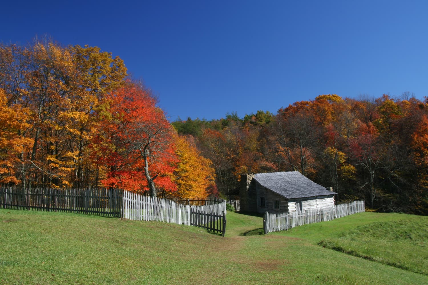
The Lora Blevins Farmstead is typical of the settlement patterns found throughout the Big South Fork plateau in the late 19th and early 20th centuries. A number of historical landscape features still exist at the site, including fields, fruit and nut trees, hedgerows, road traces, fences, foundations, an animal pen, and a cemetery.
How Big South Fork National River & Recreation Area connects
This park's activities, topics, location, and on-the-ground places — one hop in the graph. Drag to explore; click an activity, topic, or related park to follow it.
Park
Activity
Topic
State
Campground
VisitorCenter
PassportStamp
Trail
Alert
Similar parks
Share activities & topics with Big South Fork National River & Recreation Area.