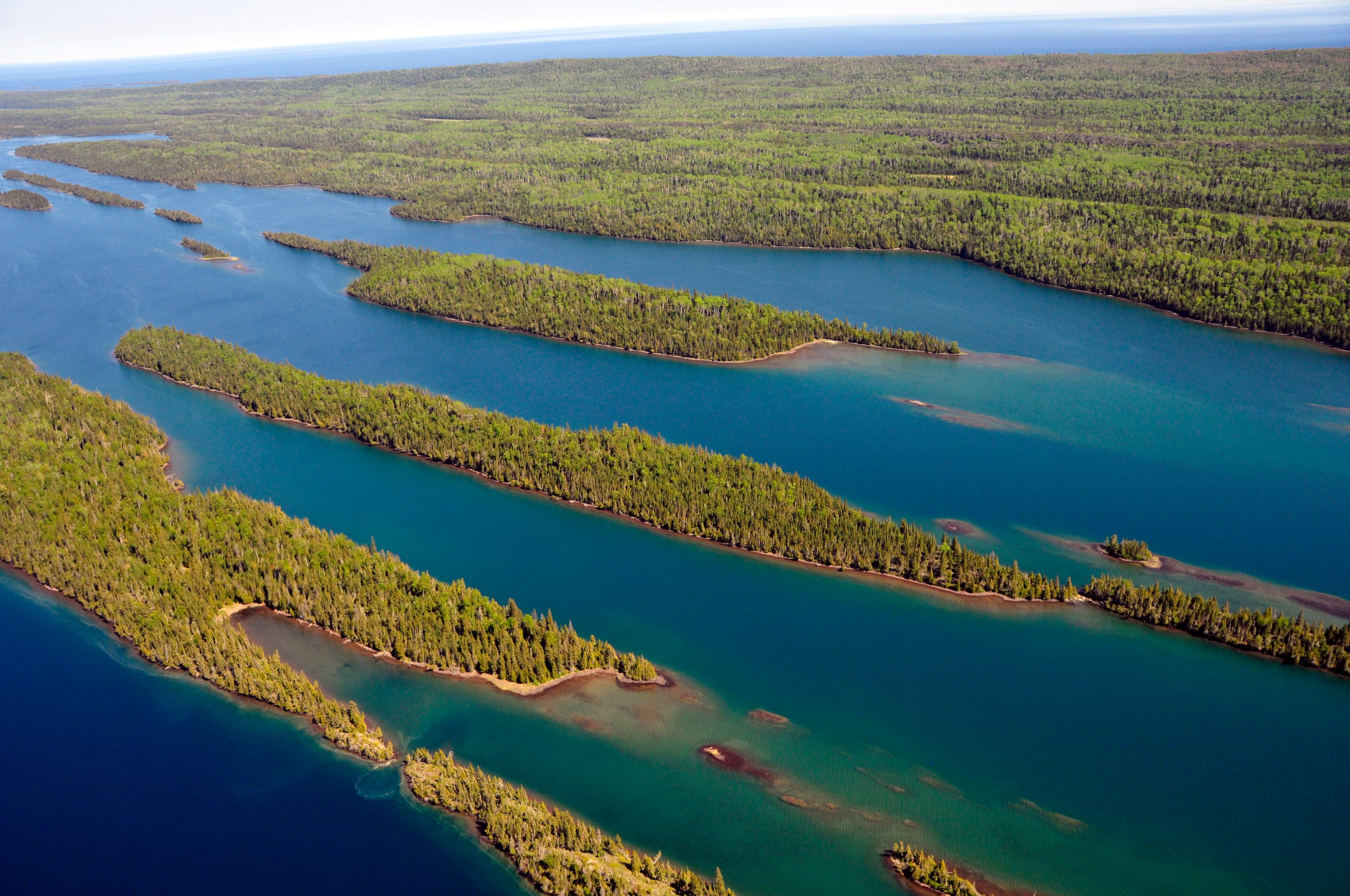
Isle Royale National Park
Michigan
Tonight
🌓 65% moon
8.2 h fully dark
Hikes
Easy–Strenuous
🟢 🔴
Crowds
low
Open today
Open
Isle Royale National Park Open Season (April 16 through October 31): closed Nov 1 – Apr 15
Entrance
$7
New Food Storage Guidelines to Reduce Human - Wildlife Interactions
In response to wolves accessing human food and garbage in and around Rock Harbor and campgrounds located on the east end of the island, new food storage guidelines to ensure the safety of visitors and wildlife are in effect.
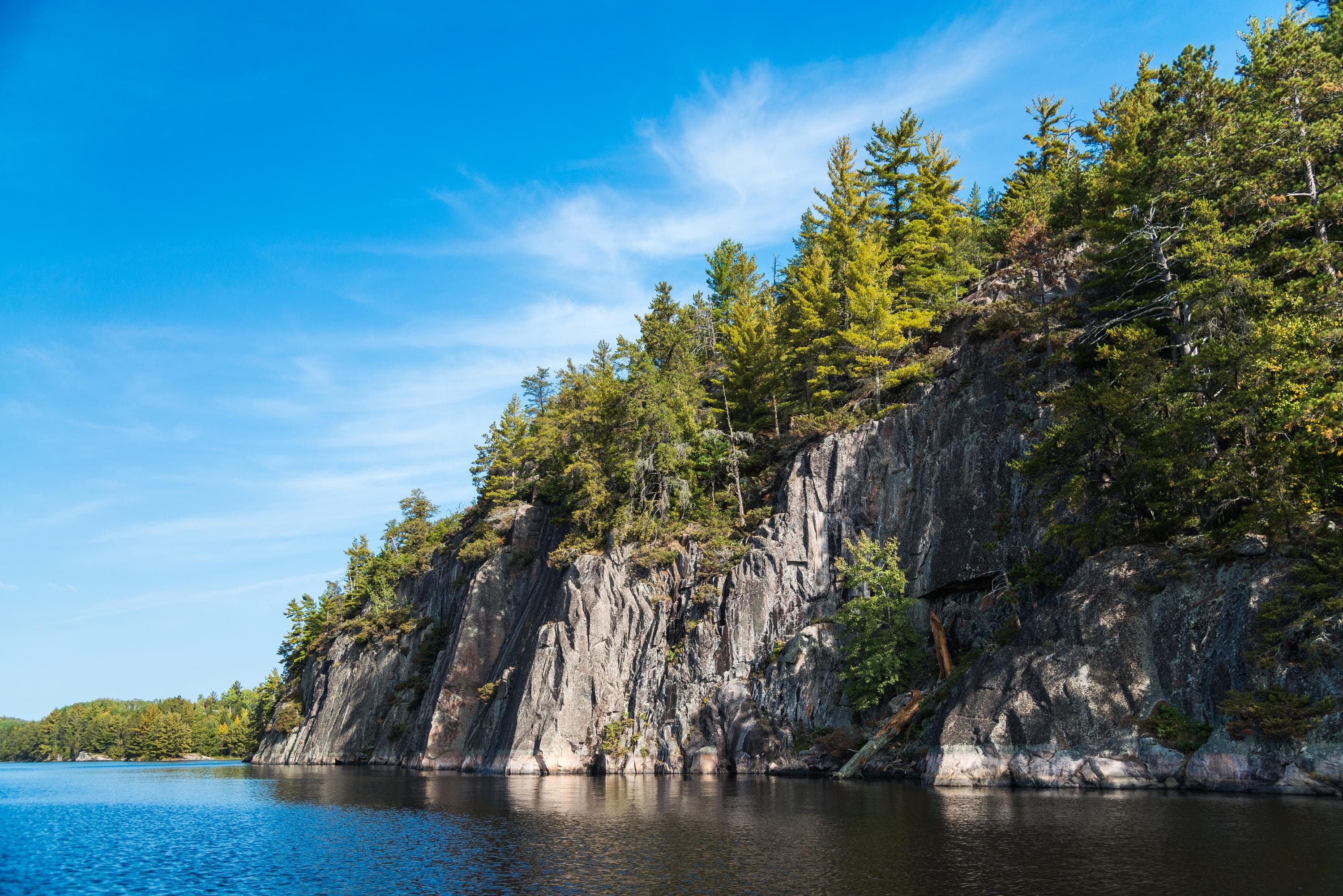
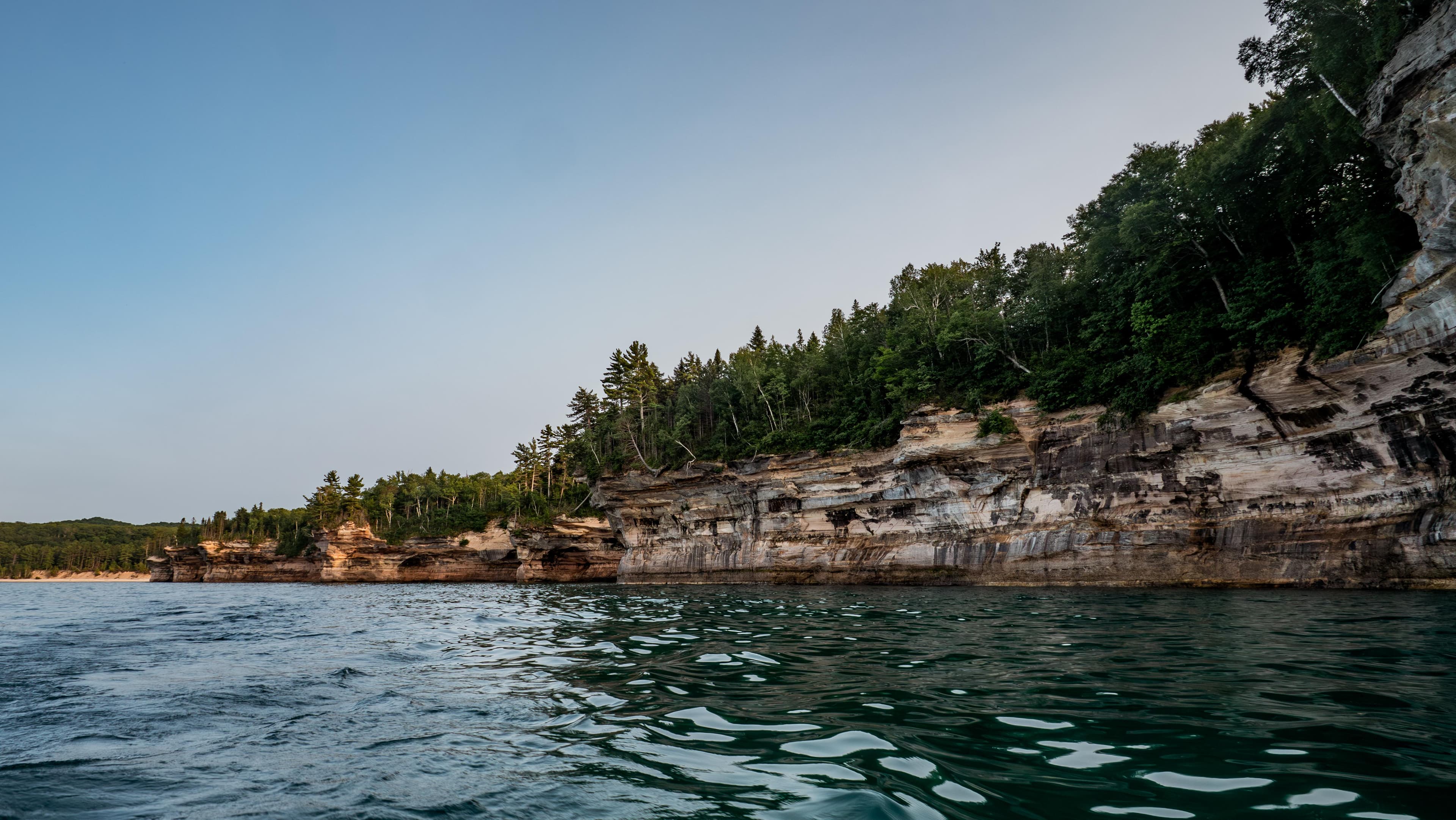
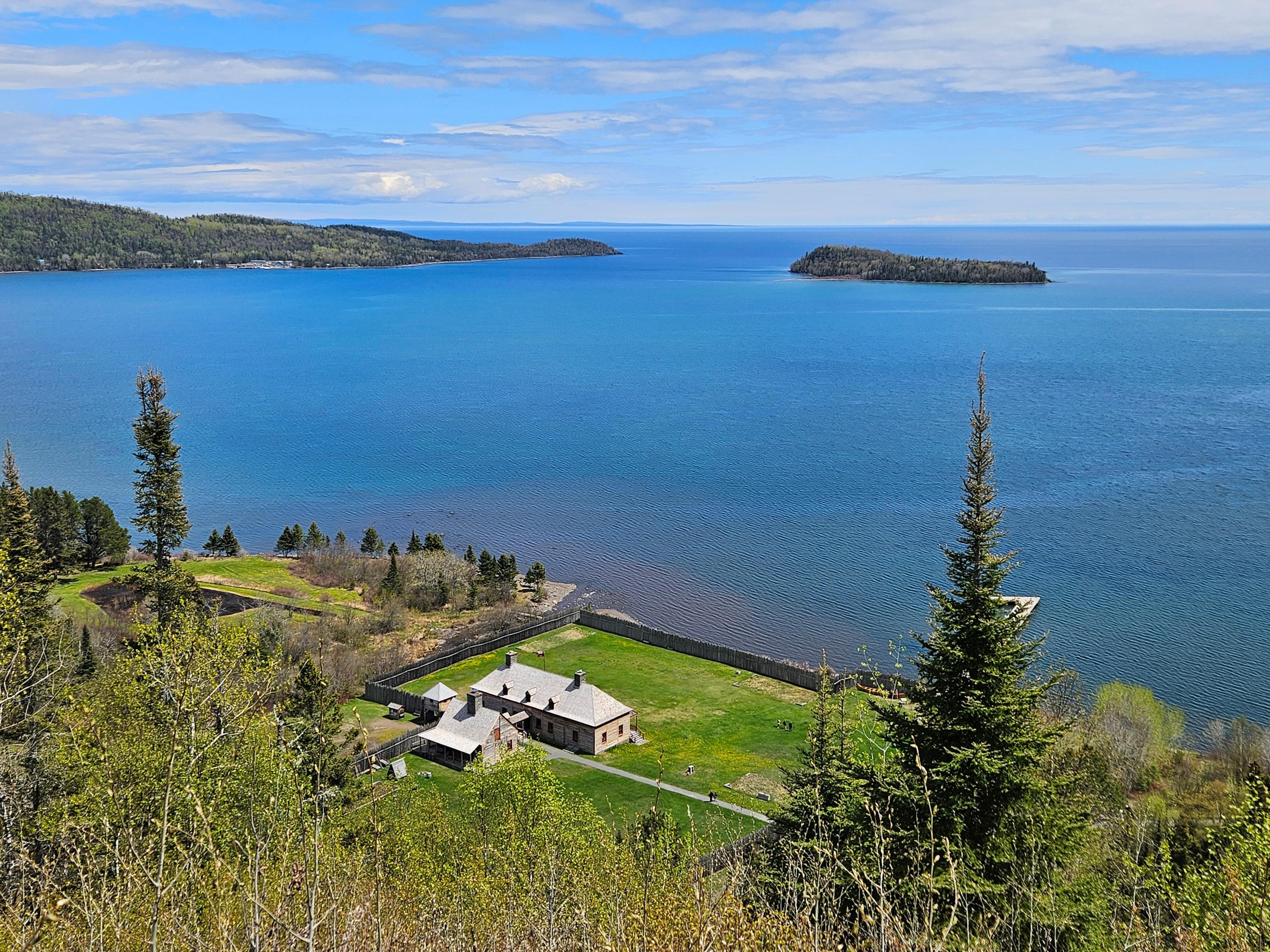
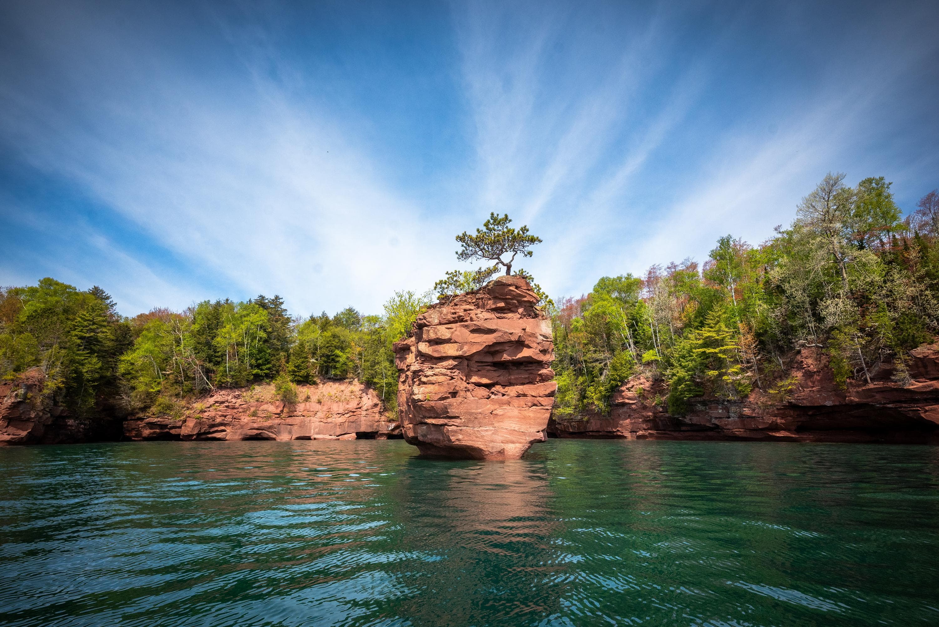
Explore a rugged, isolated island far from our connected communities. Isle Royale offers adventures for backpackers, hikers, boaters, paddlers, and divers. Cross Lake Superior and make a commitment: Become a part of this island, and let it become a part of you. Find peace and refuge in island wilderness – because Isle Royale, in turn, finds refuge in us. Help Isle Royale stay wild.
Activities
Topics
Entrance fees
$7.00 — Entrance - Per Person
Hours & seasons
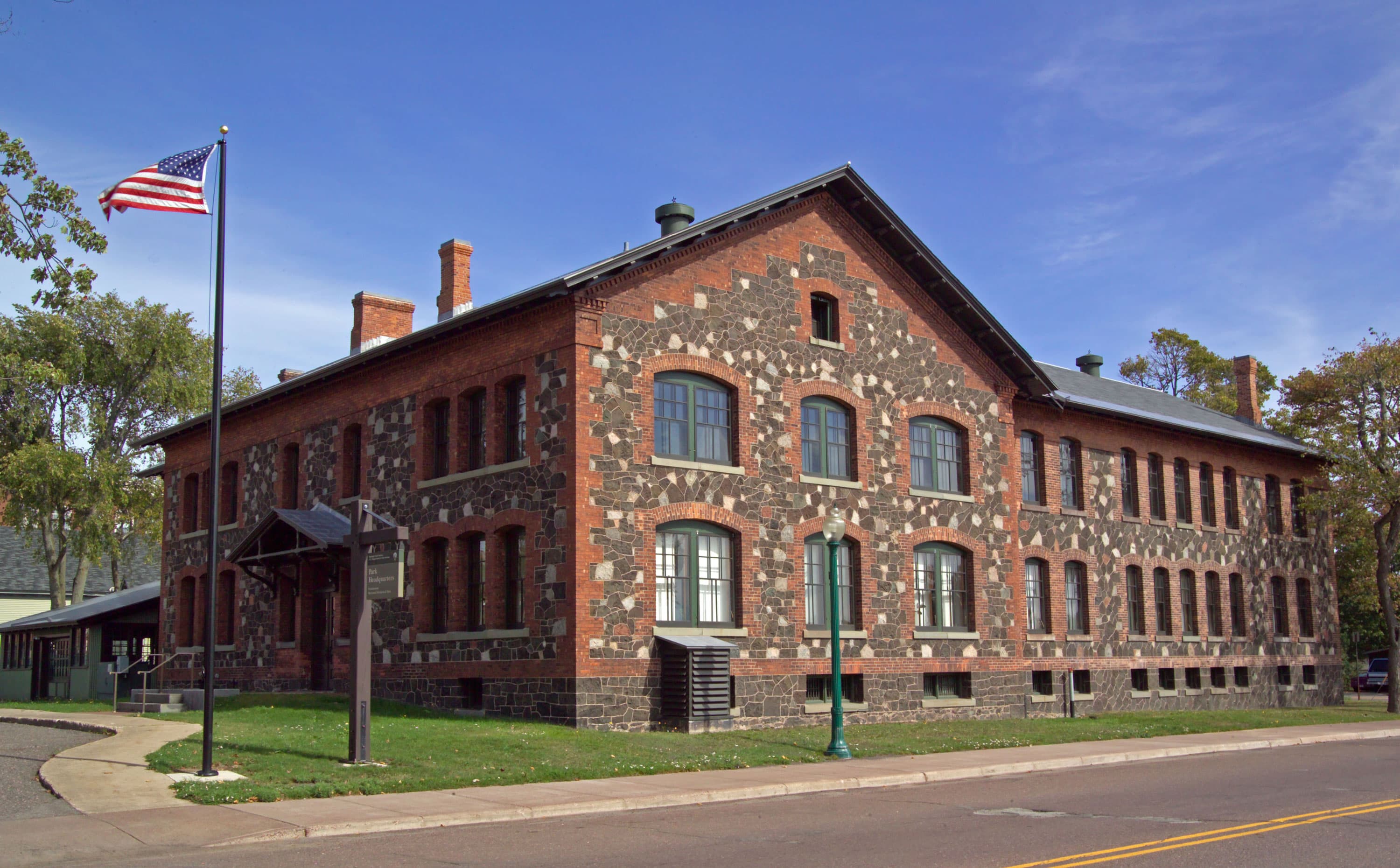
Isle Royale National Park is open annually from April 16 to October 31. Transportation services are offered from May to September. The island and its surrounding islands are closed to all visitors from November 1 to April 15 due to extreme winter weather conditions and for the safety and protection of visitors. This closure extends 4.5 miles out into Lake Superior from the island. Park headquarters during the winter is in Houghton, Michigan. Summer headquarters is located at Mott Island on Isle Royale.
⚠ Isle Royale National Park Open Season (April 16 through October 31): closed Nov 1 – Apr 15
Generally open:
springsummerfallHours are reported by the park — verify before you go.
📞 9064820984
✉ isro_parkinfo@nps.govConditions
Quietest months (fewer crowds): Jan, Feb, Mar, Nov
Typical crowds: low
Weather now: ⛅ Partly cloudy, 53°F
☁️ 56°/46°
☁️ 55°/44°
☁️ 58°/43°
Typical monthly recreation visits · NPS avg 2023–2025 — orange months are the quietest by crowds.
Quietest months
Relative crowds by month — lighter is quieter; ringed months are the calmest by crowds.
Jan
0%
Feb
0%
Mar
0%
Apr
1%
May
17%
Jun
68%
Jul
96%
Aug
100%
Sep
39%
Oct
2%
Nov
0%
Dec
0%
Log a sky reading
Measured the sky with an SQM meter or app? Add your reading (16 = city glow … 22 = pristine). Opt in under “Travelers like you” to share it on the community leaderboard.
Live conditions
Things to do
Greenstone Section 1: Hike from Lookout Louise to Mount Franklin · 5 mi
🔴 Minong Section 1: Hike from McCargoe Cove to Todd Harbor · 6.7 mi
🔴 Minong Section 2: Hike from Todd Harbor to Little Todd · 6.8 mi
🔴 Minong Section 3: Hike from Little Todd to North Desor · 5.7 mi
Minong Section 4: Hike from North Desor to Windigo · 13 mi
Hike the Mount Franklin Trail · 2.5 mi
Hike the Mount Ojibway Trail · 1.7 mi
🟢 Hike the Daisy Farm Trail · 1.7 mi
Campgrounds
Beaver Island Campground · 3 sites · first-come
Belle Isle Campground · 7 sites · first-come
Birch Island Campground · 2 sites · first-come
Caribou Island Campground · 3 sites · first-come
Chippewa Harbor Campground · 7 sites · first-come
Daisy Farm Campground · 25 sites · first-come
Duncan Bay Campground · 3 sites · first-come
Duncan Narrows Campground · 3 sites · first-come
East Chickenbone Campground · 4 sites · first-come
Feldtmann Lake Campground · 7 sites · first-come
Grace Island Campground · 2 sites · first-come
Hatchet Lake Campground · 8 sites · first-come
Hay Bay Campground · 1 sites · first-come
Huginnin Cove Campground · 5 sites · first-come
Intermediate Lake Campground · 3 sites · first-come
Island Mine Campground · 6 sites · first-come
Lake Richie Campground · 6 sites · first-come
Lake Richie Canoe Campground · 3 sites · first-come
Lake Whittlesey Campground · 3 sites · first-come
Lane Cove Campground · 5 sites · first-come
Little Todd Campground · 4 sites · first-come
Malone Bay Campground · 7 sites · first-come
McCargoe Cove Campground · 12 sites · first-come
Merritt Lane Campground · 2 sites · first-come
Moskey Basin Campground · 10 sites · first-come
North Desor Campground · 3 sites · first-come
Pickerel Cove Campground · 1 sites · first-come
Rock Harbor Campground · 23 sites · first-come · dump station
Siskiwit Bay Campground · 9 sites · first-come
South Lake Desor Campground · 10 sites · first-come
Three Mile Campground · 15 sites · first-come
Todd Harbor Campground · 9 sites · first-come
Tookers Island Campground · 2 sites · first-come
Washington Creek Campground · 19 sites · first-come · dump station
West Chickenbone Campground · 9 sites · first-come
Wood Lake Campground · 3 sites · first-come
Visitor centers
Houghton Visitor Center
Rock Harbor Visitor Center
Windigo Visitor Center
Accessibility
5 accessible campground(s)
34 audio-described place(s)
Reported by the park — verify before you go.
Not an official safety source — always defer to NPS.gov and rangers for life-safety decisions.
By the numbers
A visual read on Isle Royale National Park — its character, trails, sky, and weather.
Park fingerprint
How this park scores across the dimensions travelers care about.
Trail difficulty
Difficulty mix across this park's trails.
Trail profile
Each dot is a trail — distance vs. elevation gain, by difficulty.
3-day forecast
Daily high and low temperatures (°F).
Passport stamps
Mark the stamps you've collected — they show in your memory and along your routes.
🎫 Houghton Visitor Center
🎫 Isle Royale National Park
🎫 Ranger III
🎫 Rock Harbor Visitor Center
🎫 Windigo Visitor Center
Places to see
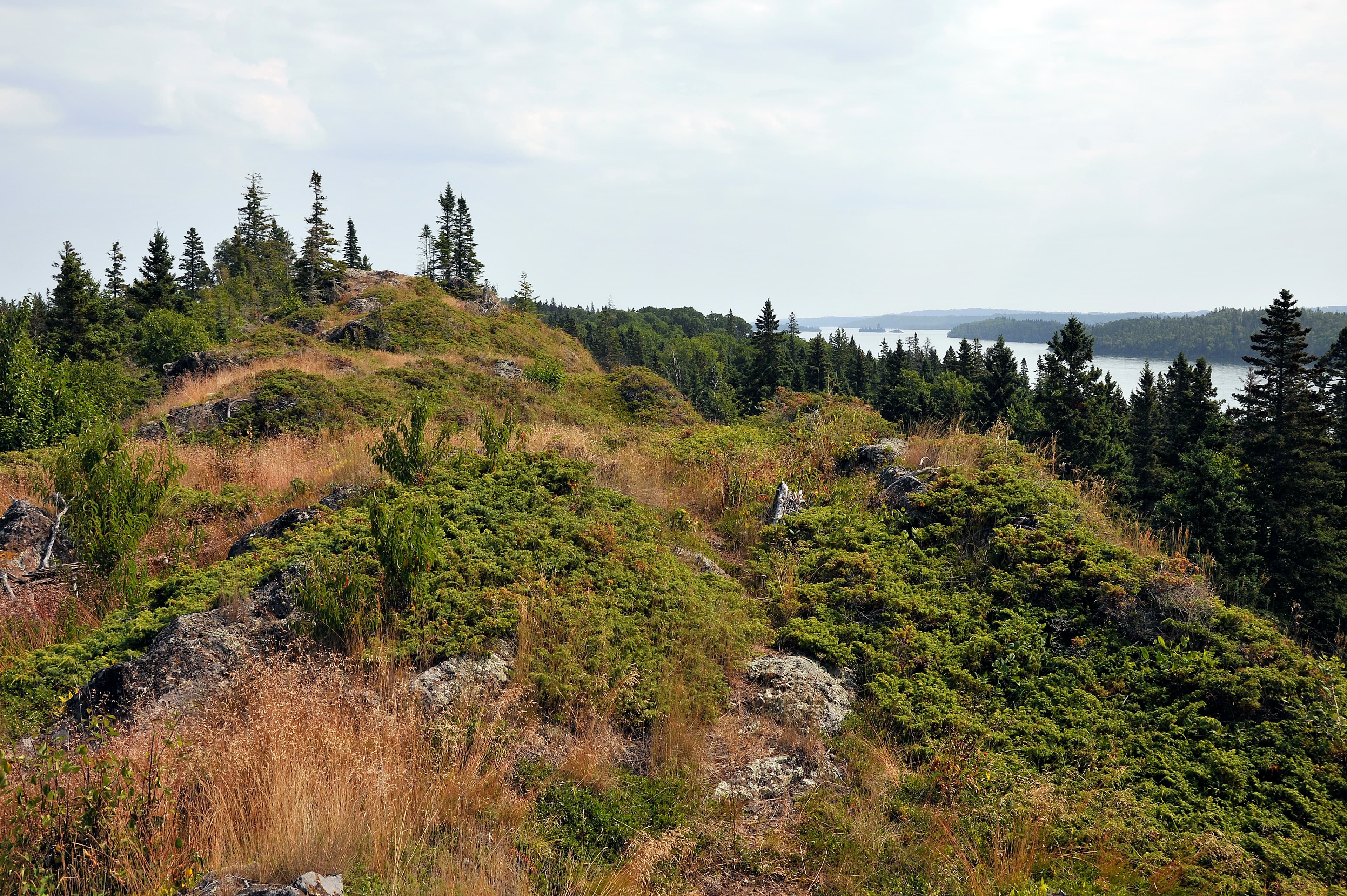
Amygdaloid Island
audio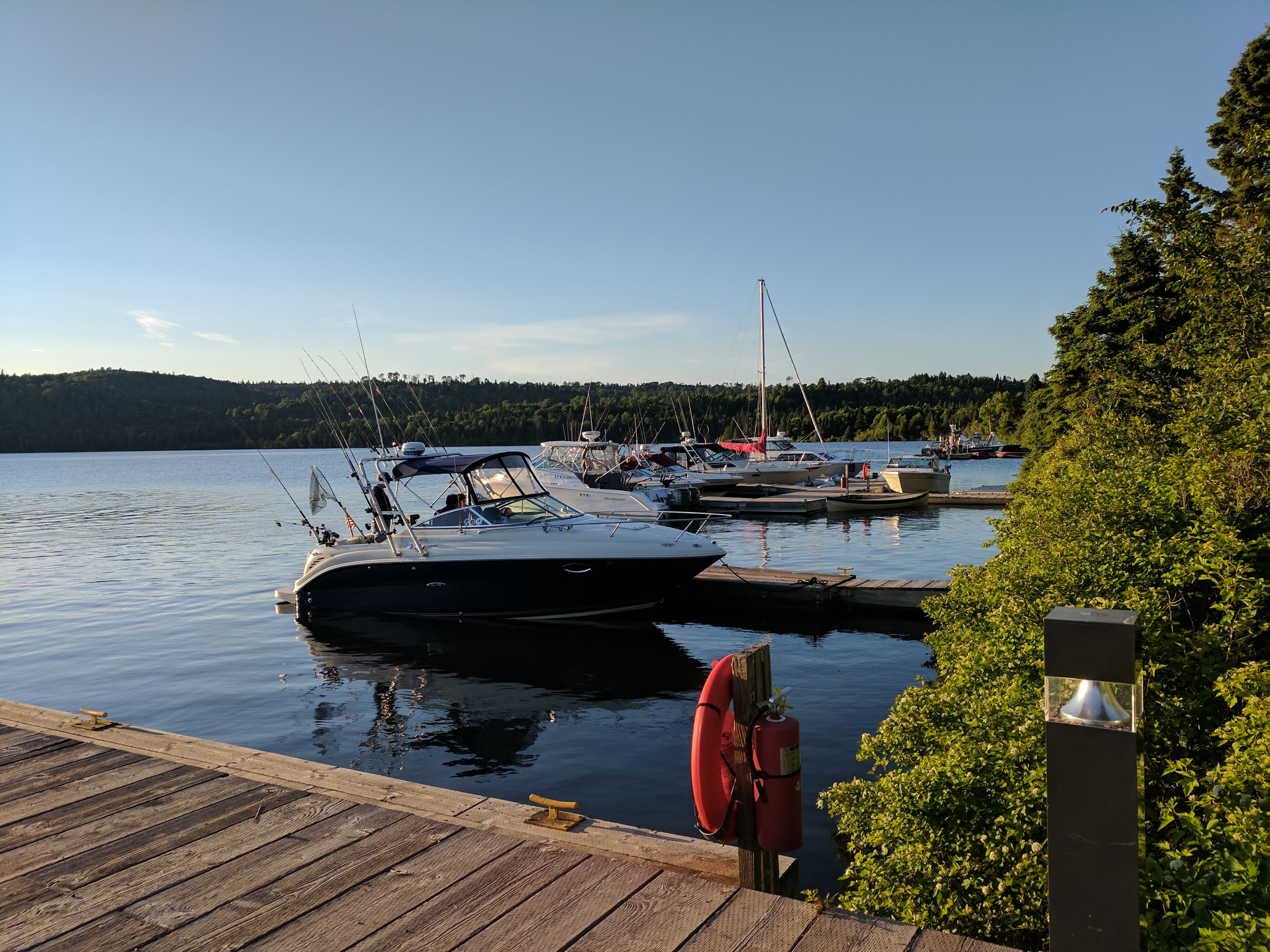
Boating Introduction
audio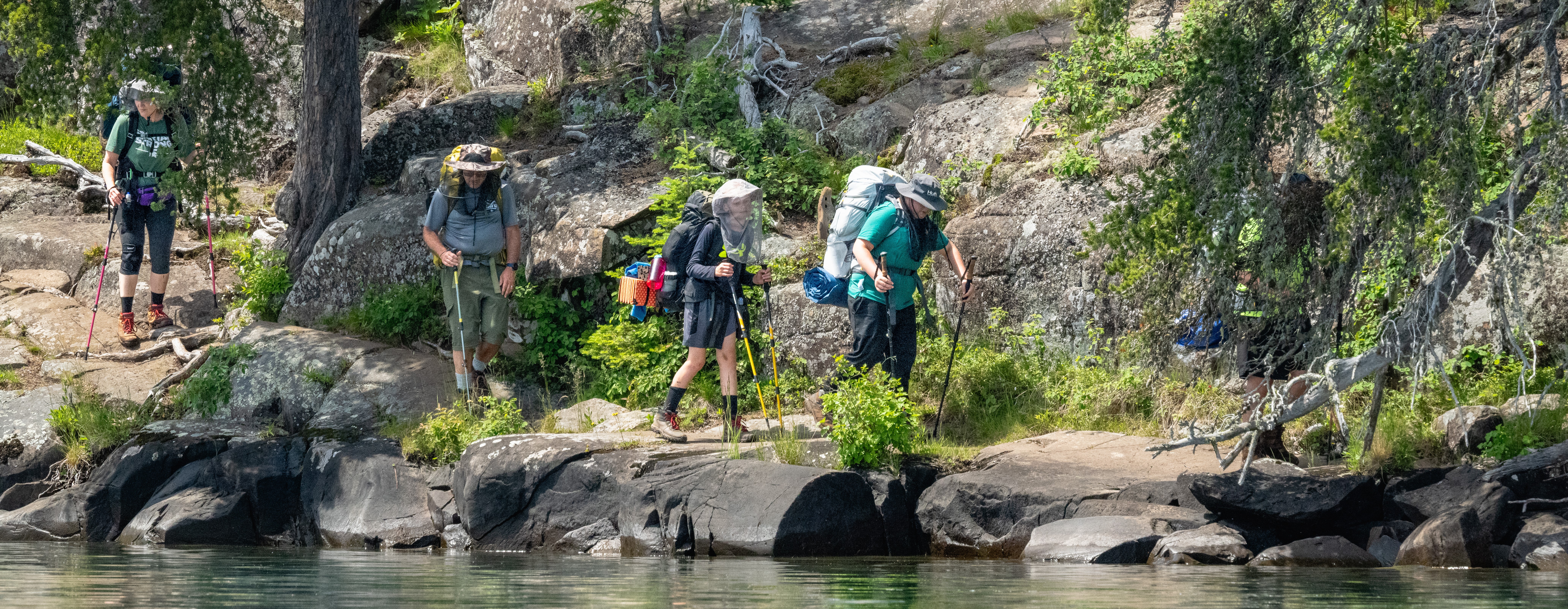
Current Conditions at Isle Royale
audio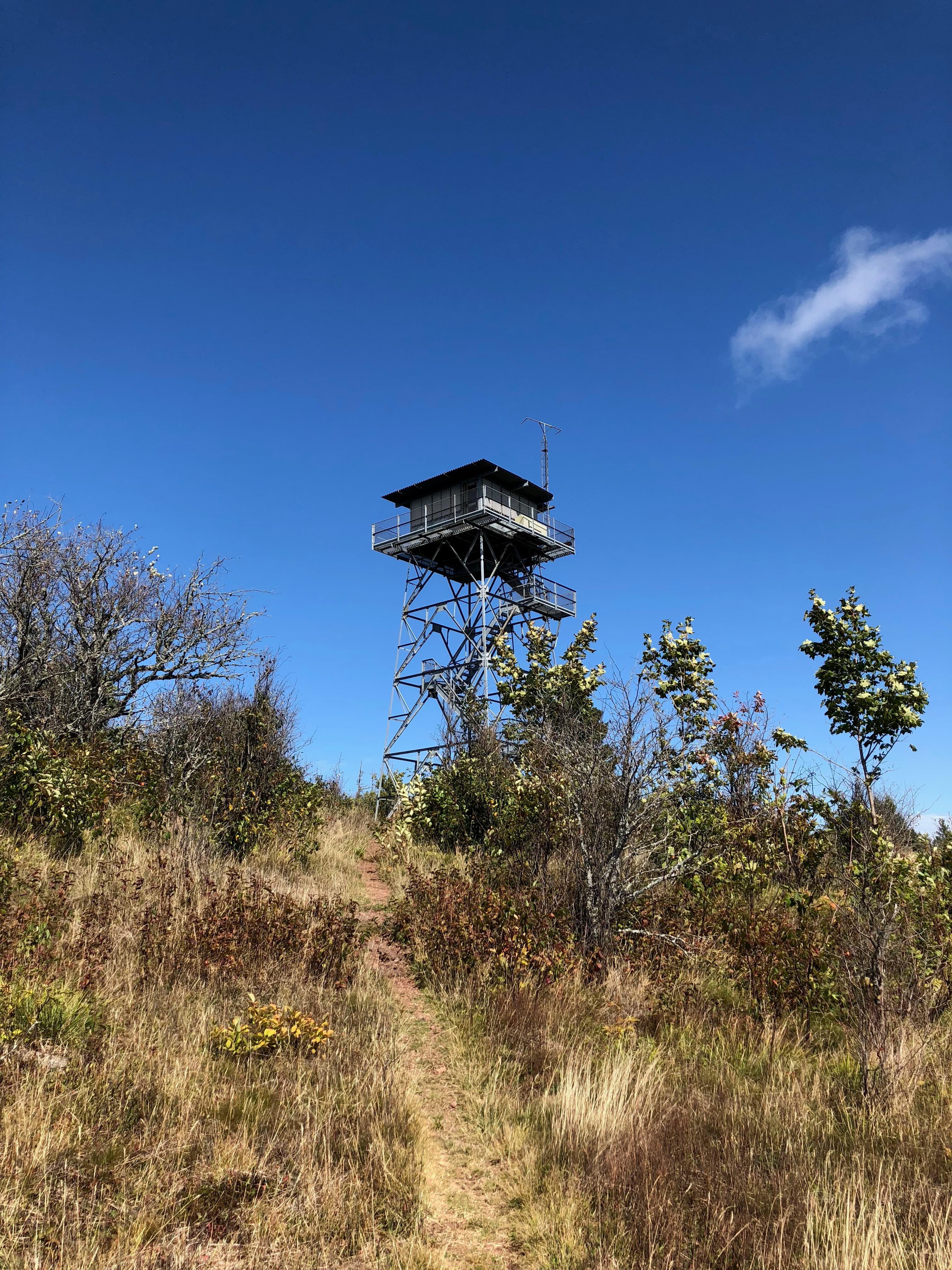
Feldtmann Tower
audio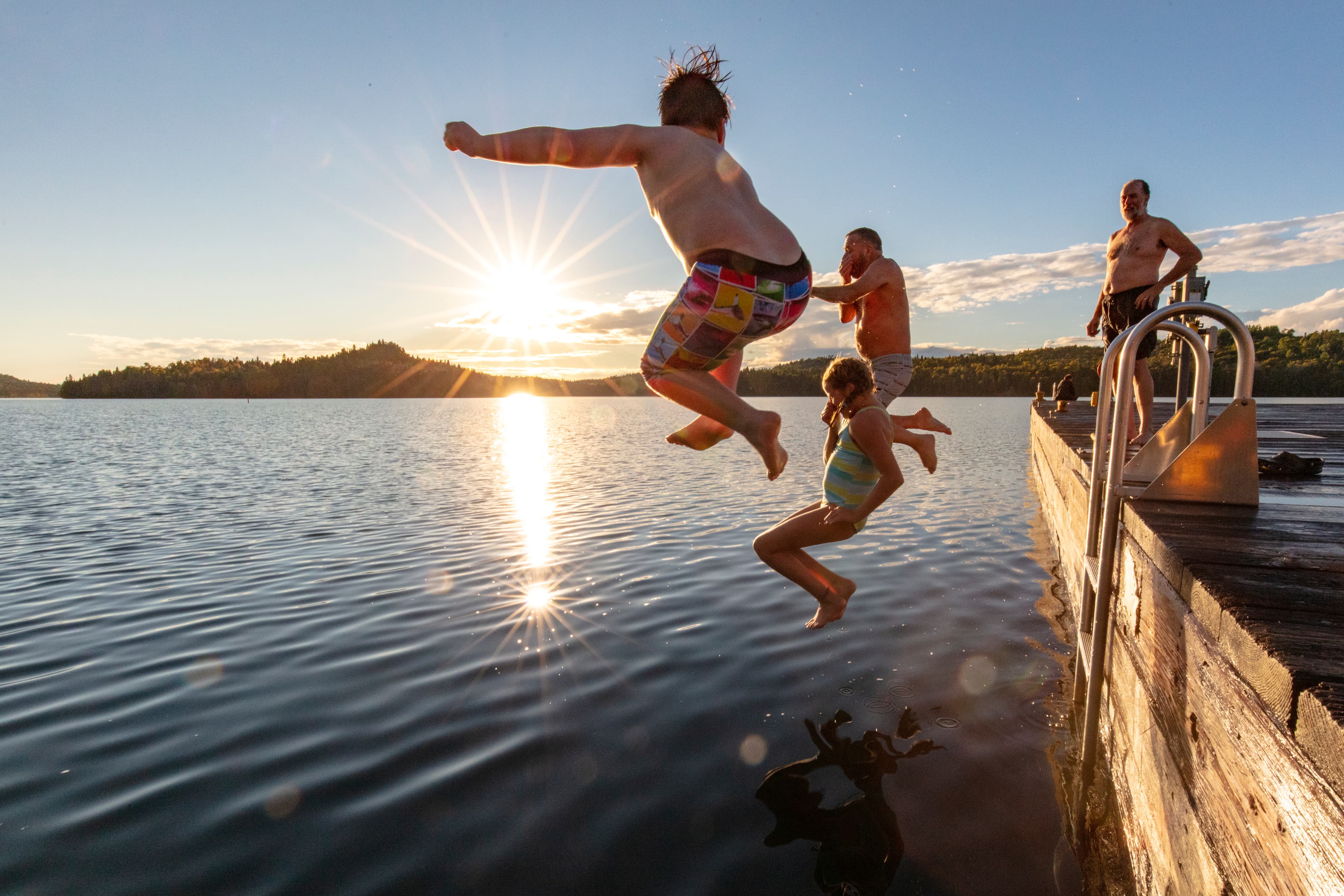
First Timer's Guide to Isle Royale
audio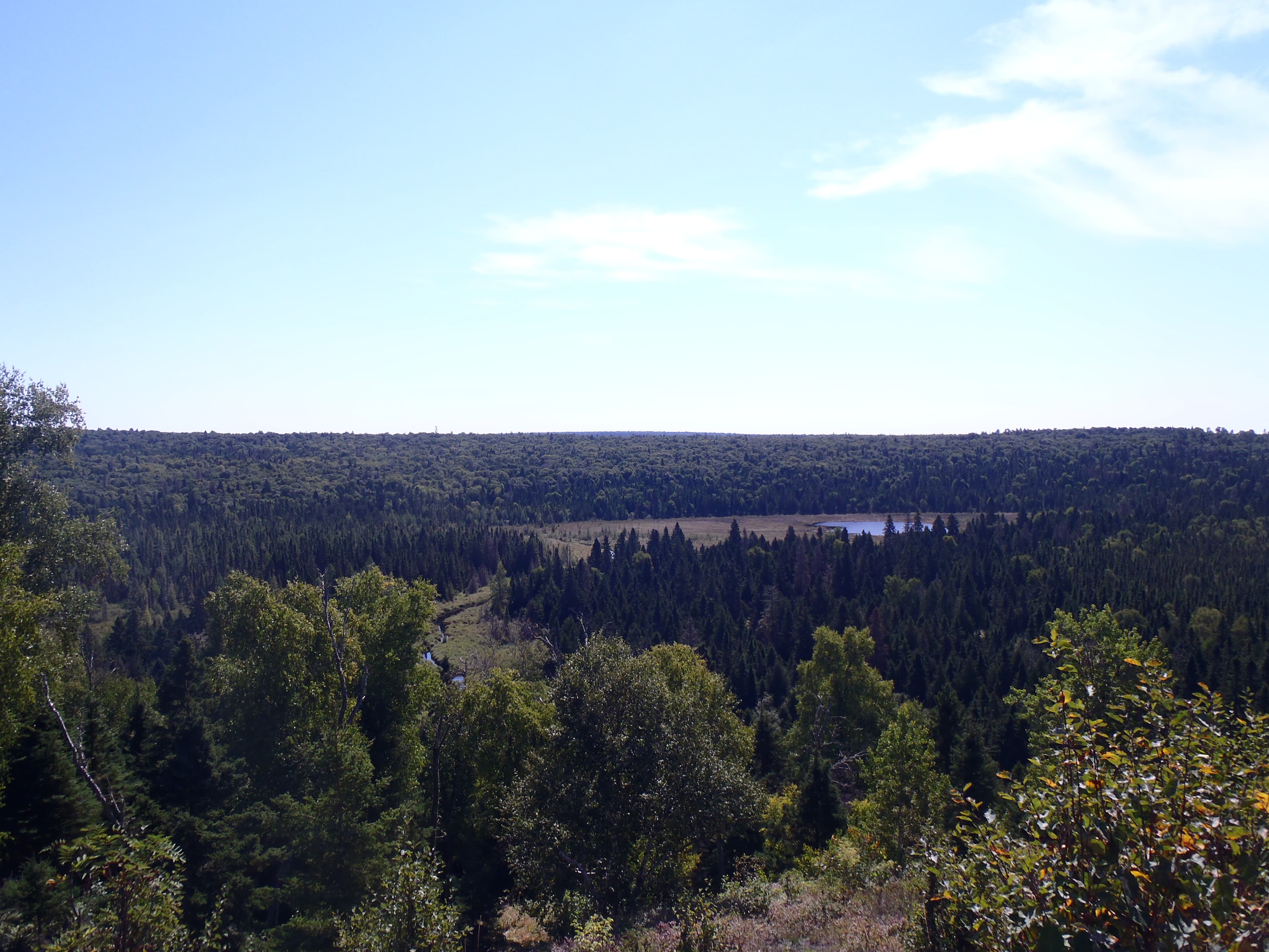
Grace Creek Overlook
audio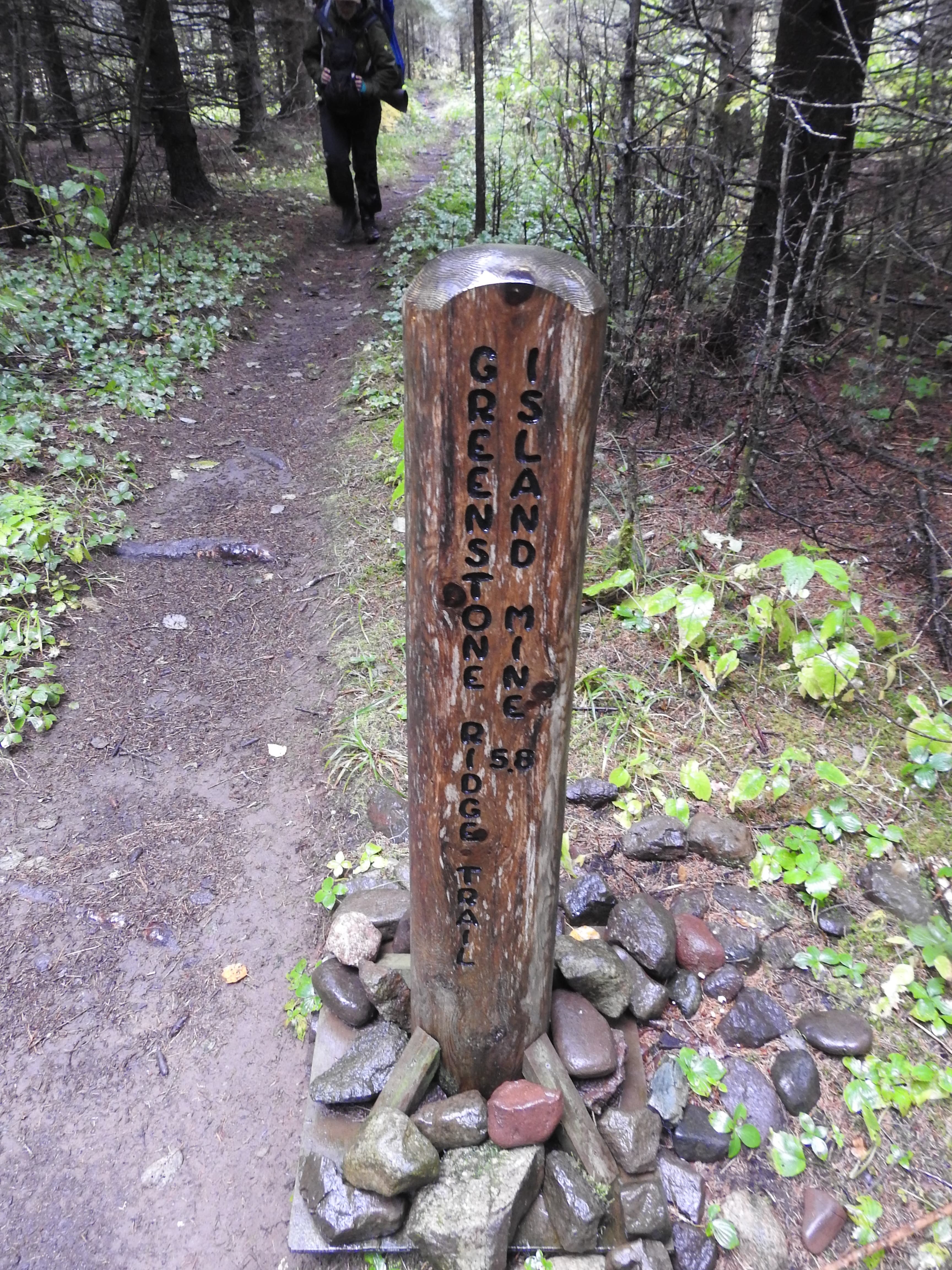
Greenstone Ridge Trailhead: Hidden Lake
audioGreenstone Ridge Trailhead: Windigo
audio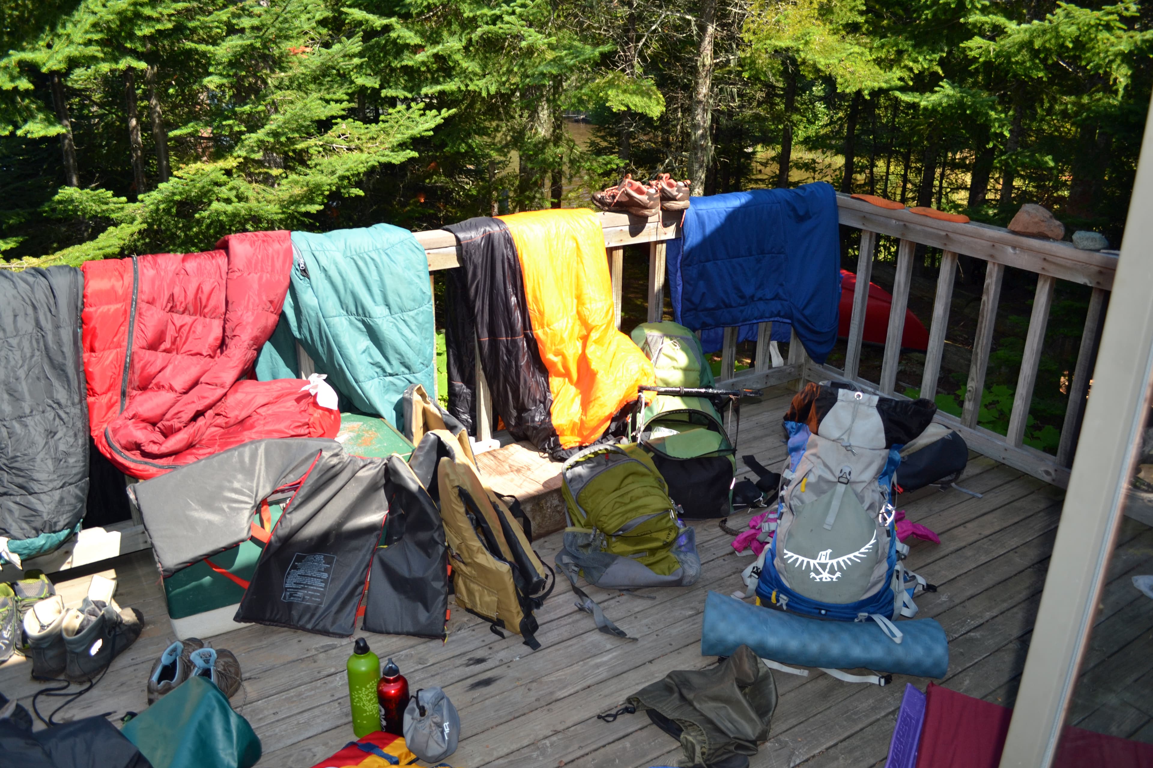
Group Camping Introduction
audio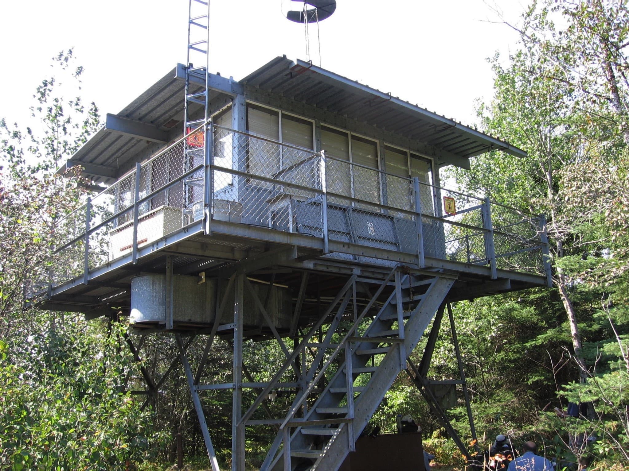
Ishpeming Tower
audio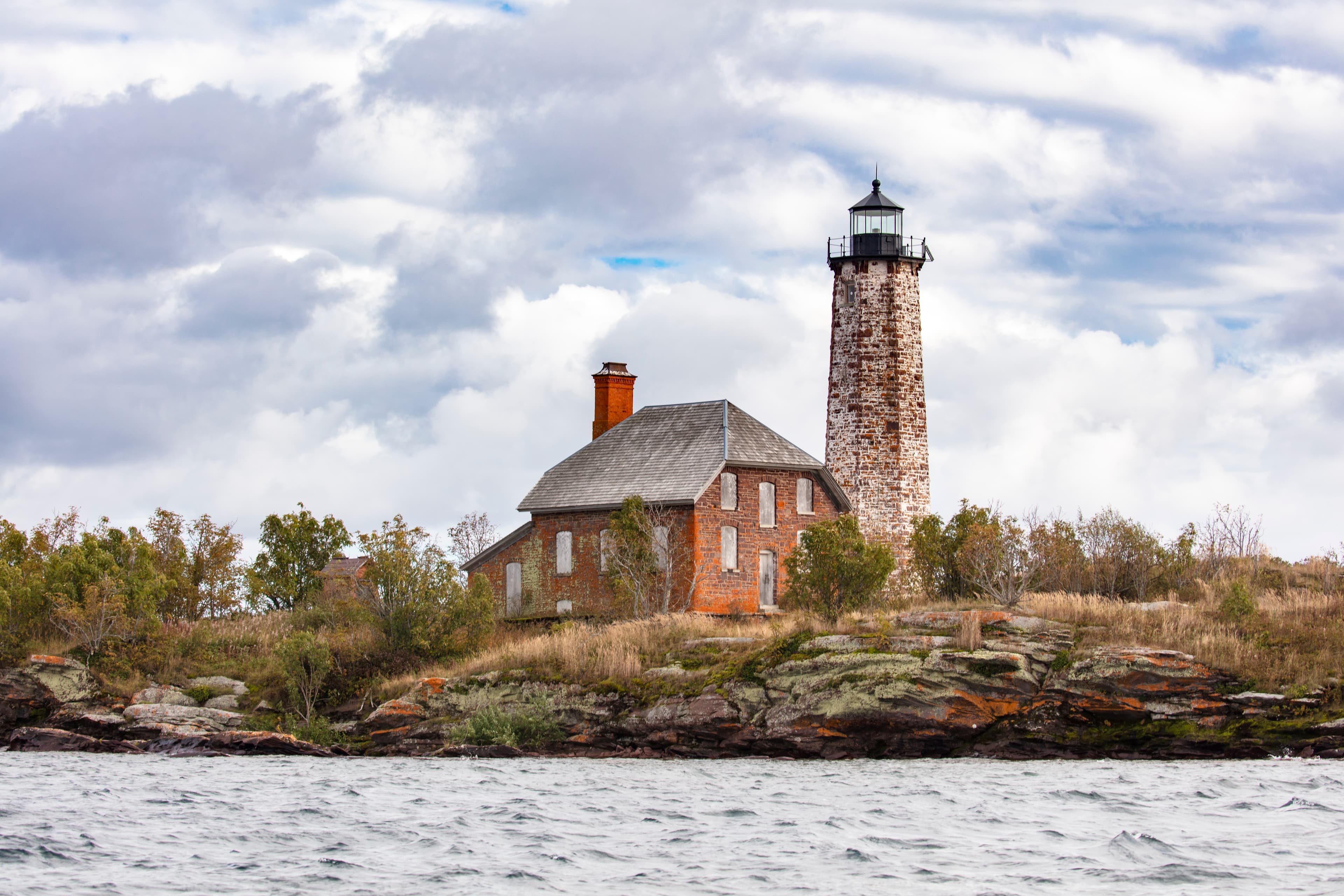
Isle Royale Lighthouse
audio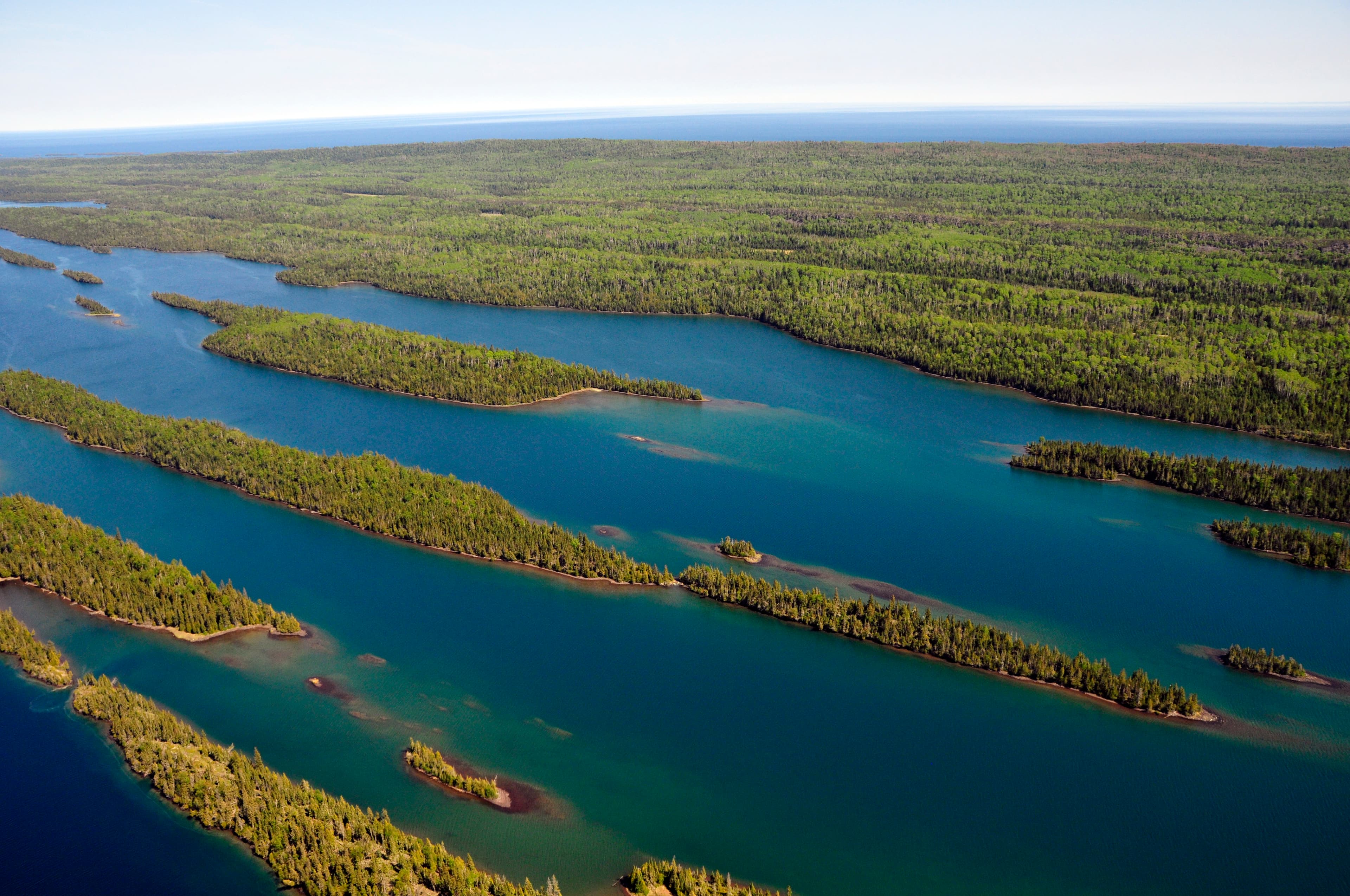
Isle Royale National Park
Audio & media
Learn more
Europeans became aware of Great Lakes region copper in the early sixteenth century when copper ornaments were found among the Indians along the St. Lawrence. In the winter of 1535-1536 Cartier was entertained and intrigued by tales of the "Kingdom of Saguenay" vaguely located to the north and west and from whence had come the copper objects in possession of his hosts, the St. Lawrence Iroquois.
Apart from proselytizing the faith, a perennial interest on the part of the French religious communities, the exploration of the Upper Country was strictly a means to an end - the discovery of the route that would open direct trade between Europe and Cathay and Japan. Eventually, the region came to be appreciated for its own qualities by Europeans and Euroamericans who sought to exploit its vast resources rather than merely use the land as a base for seeking a waterway.
Nineteenth-century documentation clearly indicates that an aboriginal population that included Ojibwa, Cree, and Assiniboin groups was present on the north shore of Lake Superior in the area of the "Great Carrying Place" (Grand Portage) and near the mouth of the Kaministiquia River at Fort William (present day Thunder Bay, Ontario).
The presence of copper on Isle Royale was a matter of common knowledge by 1843, with information ranging from Jesuit accounts and tales of American Fur Company fishermen to formal geological reports. To this impetus could be added the boom spirit of the time, an abundance of venture capital, and a highly unrealistic estimate of the ease by which fortunes could be acquired through copper mining.
Every year, the National Park Service benefits from the extraordinary contributions of dedicated volunteers. Meet the six recipients of the 2012 Hartzog Awards honoring that service.
The 2021 Horne Fire was Isle Royale's largest fire since 1948.
View recipients of the National Park Service Freeman Tilden Awards, which recognize outstanding contributions to the practice of interpretation and education by NPS employees.
In August 2022, the Mount Franklin Fire burned six acres on Isle Royale.
How Isle Royale National Park connects
This park's activities, topics, location, and on-the-ground places — one hop in the graph. Drag to explore; click an activity, topic, or related park to follow it.
Park
Activity
Topic
State
Campground
VisitorCenter
PassportStamp
Trail
ThingToDo
Alert
Similar parks
Share activities & topics with Isle Royale National Park.