El Camino Real de los Tejas National Historic Trail
Texas, Louisiana
Tonight
🌓 65% moon
9.2 h fully dark
Open today
Open
Entrance
Free entry
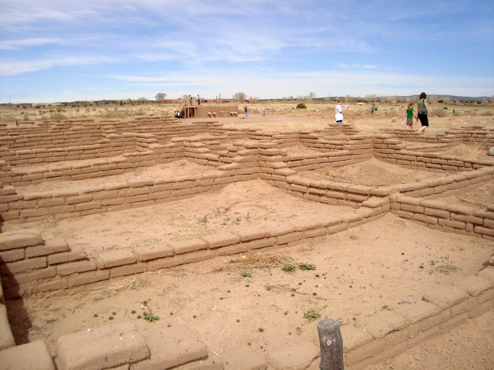
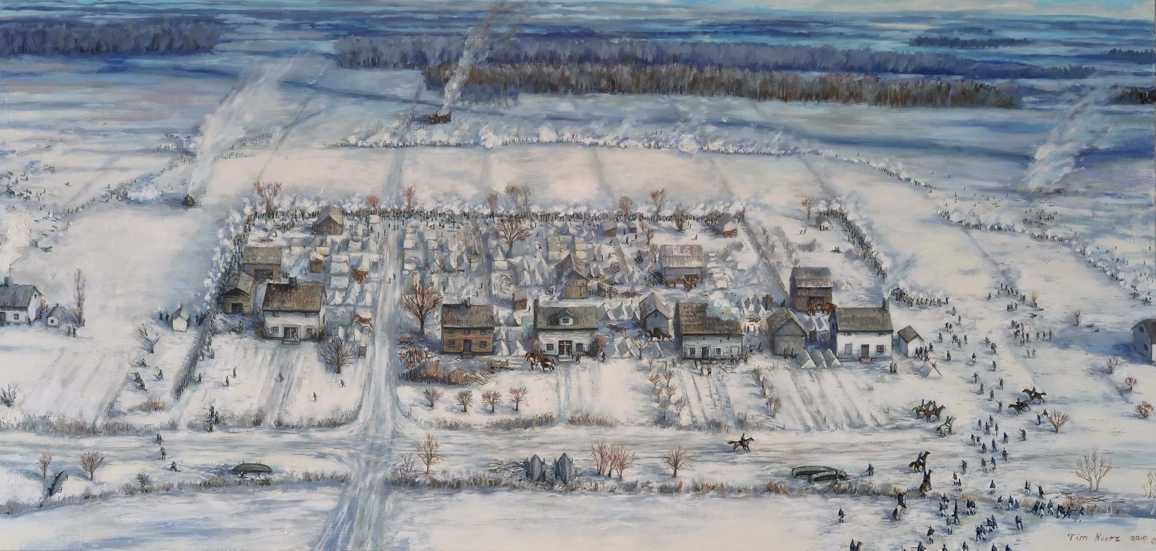
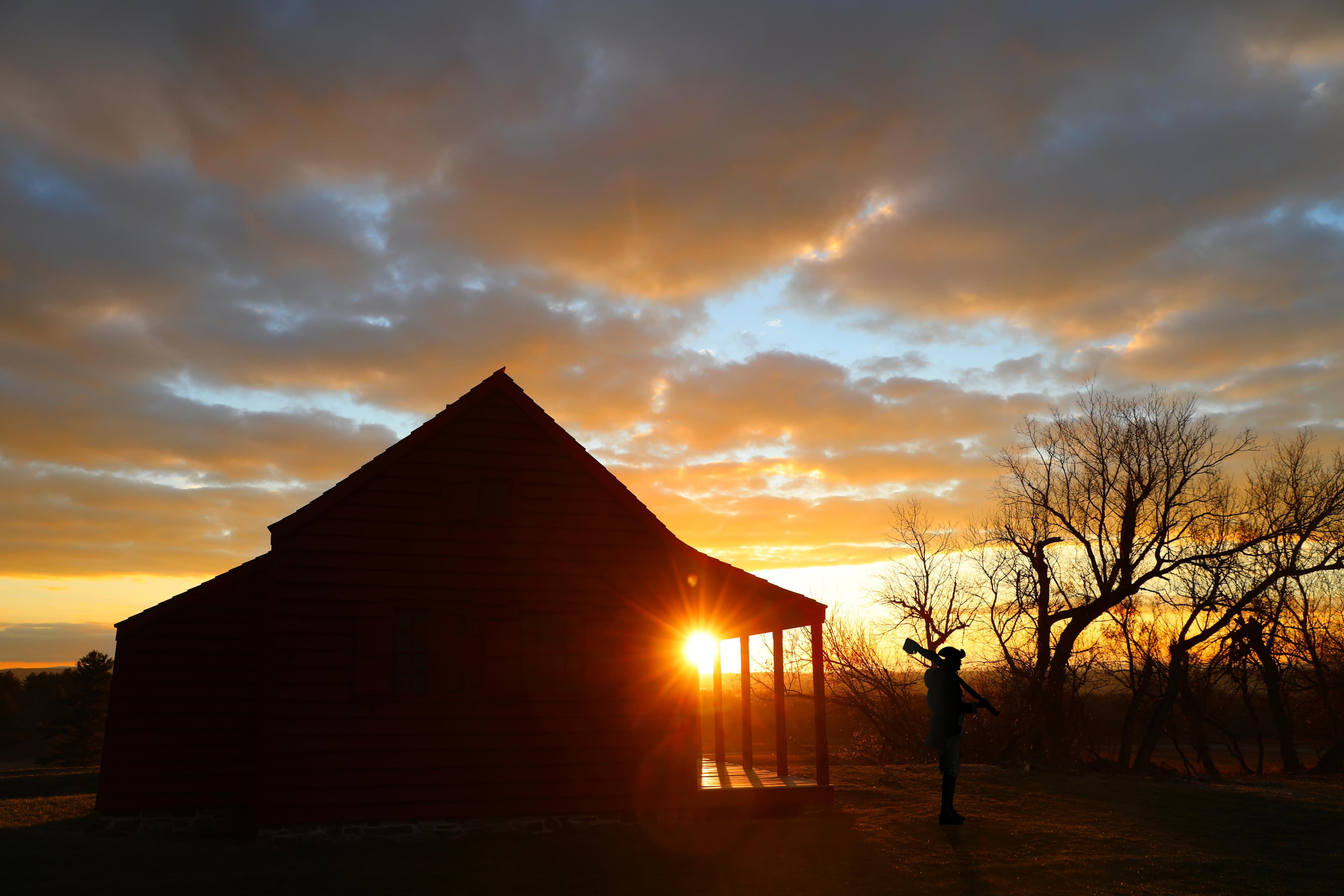
Explore a diverse array of histories contained within El Camino Real de los Tejas’ 150-year life, including the Spanish struggle to missionize American Indian nations, the growth of cattle ranching in the Mexican period, and the movement for Texan independence and statehood.
Topics
No entrance fee.
Hours & seasons
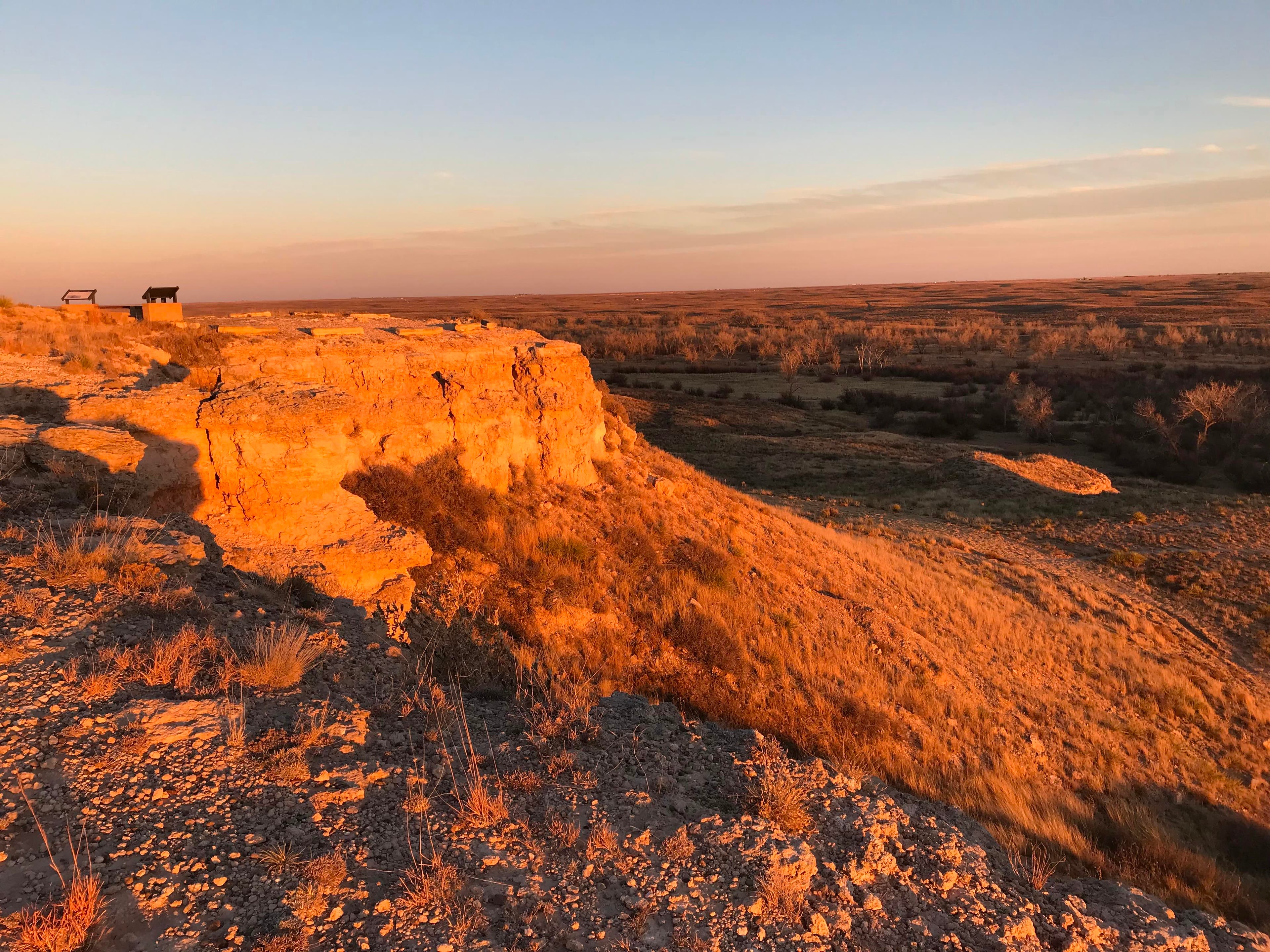
El Camino Real de los Tejas National Historic Trail is not a clearly marked hiking trail. Instead it is a route that passes through communities, urban areas, public lands, and Wilderness. The route travels across a variety of land ownerships and management, including private land. Each location varies as to the hours of operations and access. Please contact individual trail sites before your visit for more information.
Generally open:
winterspringsummerfallHours are reported by the park — verify before you go.
Conditions
Weather now: ⛅ Partly cloudy, 95°F
☁️ 96°/73°
☁️ 97°/76°
☁️ 100°/76°
Log a sky reading
Measured the sky with an SQM meter or app? Add your reading (16 = city glow … 22 = pristine). Opt in under “Travelers like you” to share it on the community leaderboard.
Things to do
Goliad, Texas Area: El Camino Real de los Tejas NHT Places · If you have visiting these cities/areas all it takes is a few hours to step back in time. Start with one site or plan a multiple day visit of the full length of the trail - unlike the travelers of the past, your time spent on the trail is up to you!
Laredo, Texas Area: El Camino Real de los Tejas NHT Places · If you have visiting these cities/areas all it takes is a few hours to step back in time. Start with one site or plan a multiple day visit of the full length of the trail - unlike the travelers of the past, your time spent on the trail is up to you!
Texas - Louisiana Border Area: El Camino Real de los Tejas NHT Places · If you have visiting these cities/areas all it takes is a few hours to step back in time. Start with one site or plan a multiple day visit of the full length of the trail - unlike the travelers of the past, your time spent on the trail is up to you!
Austin, Texas Area: El Camino Real de los Tejas NHT Places · If you have visiting these cities/areas all it takes is a few hours to step back in time. Start with one site or plan a multiple day visit of the full length of the trail - unlike the travelers of the past, your time spent on the trail is up to you!
San Antonio, Texas Area: El Camino Real de los Tejas NHT Places · If you have visiting these cities/areas all it takes is a few hours to step back in time. Start with one site or plan a multiple day visit of the full length of the trail - unlike the travelers of the past, your time spent on the trail is up to you!
Hike on El Camino Real de los Tejas
Become a Camino Real de los Tejas Junior Ranger
Check Out Museums and Visitor Centers along El Camino Real de los Tejas
Accessibility
29 audio-described place(s)
Reported by the park — verify before you go.
Not an official safety source — always defer to NPS.gov and rangers for life-safety decisions.
By the numbers
A visual read on El Camino Real de los Tejas National Historic Trail — its character, trails, sky, and weather.
Park fingerprint
How this park scores across the dimensions travelers care about.
Trail difficulty
Difficulty mix across this park's trails.
3-day forecast
Daily high and low temperatures (°F).
Passport stamps
Mark the stamps you've collected — they show in your memory and along your routes.
🎫 Caddo Mounds State Historic Site
🎫 Casa Navarro State Historic Site
🎫 Dimmit County Public Library (and Wade House Museum)
🎫 El Camino Real de los Tejas National Historic Trail
🎫 Fort Boggy State Park
🎫 Fort Jesup State Historic Site
🎫 Fort St. Jean Baptiste State Historic Site
🎫 Goliad State Park and Mission Espiritu Santo State Historic Site
🎫 Los Adaes State Historic Site
🎫 McKinney Falls State Park
🎫 Mission Dolores State Historic Site
🎫 Mission Tejas State Park
🎫 Monument Hill and Kreische Brewery State Historic Sites
🎫 Nacogdoches Convention and Visitors Bureau
🎫 Natchitoches Parish Convention and Visitors Bureau
🎫 Republic of the Rio Grande Museum
🎫 The Stone Fort Museum
🎫 Villa Antigua Border Heritage Museum
Places to see
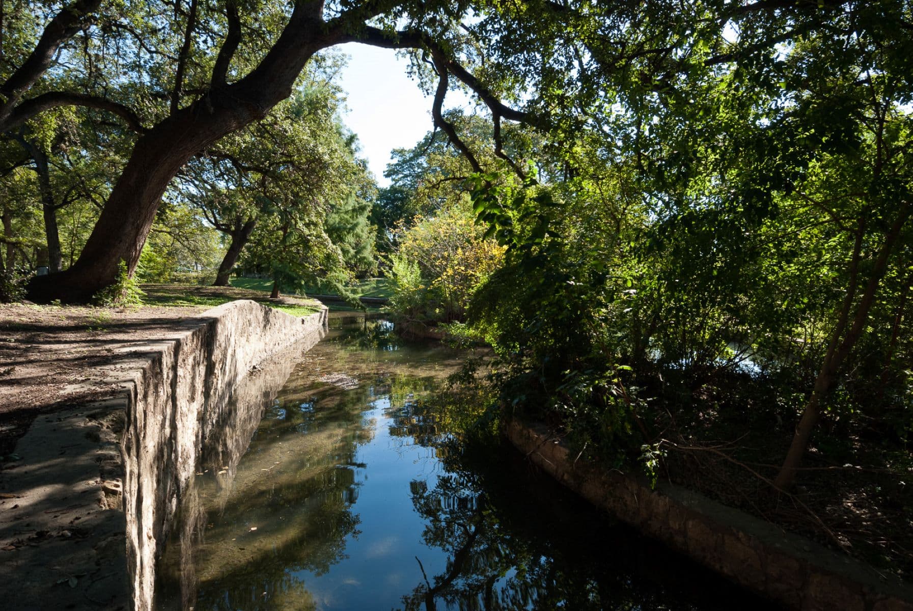
Acequia del Alamo Dam
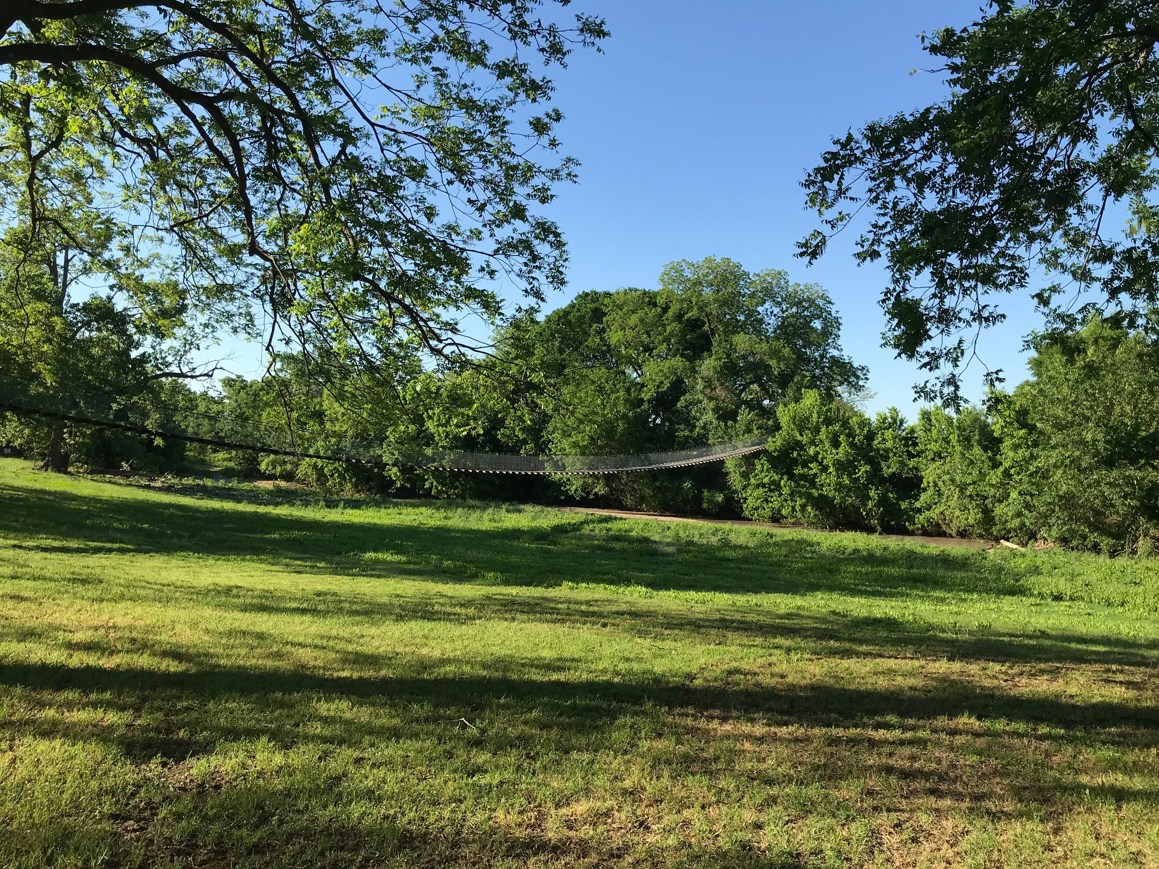
Apache Pass
audio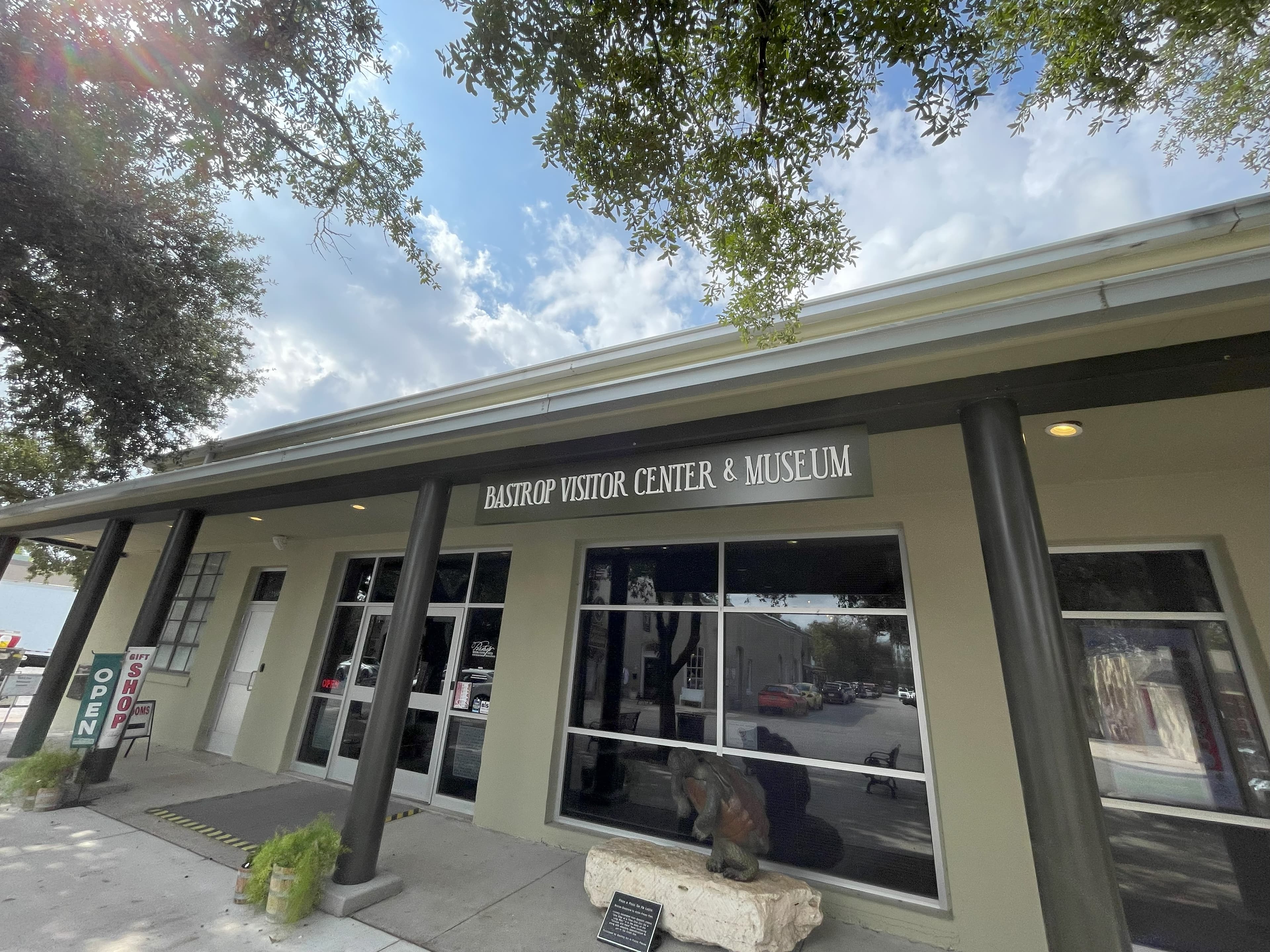
Bastrop County Museum & Visitor Center
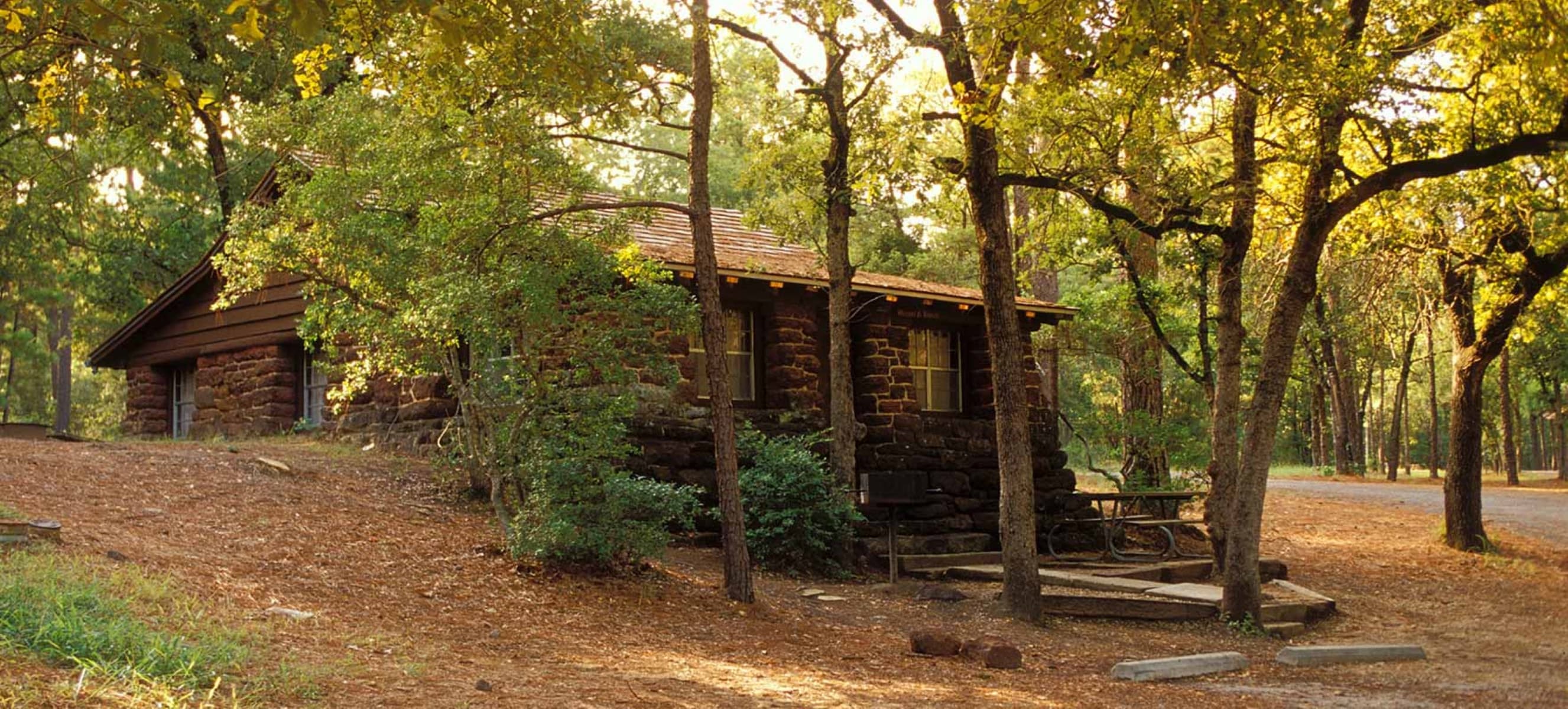
Bastrop State Park
audio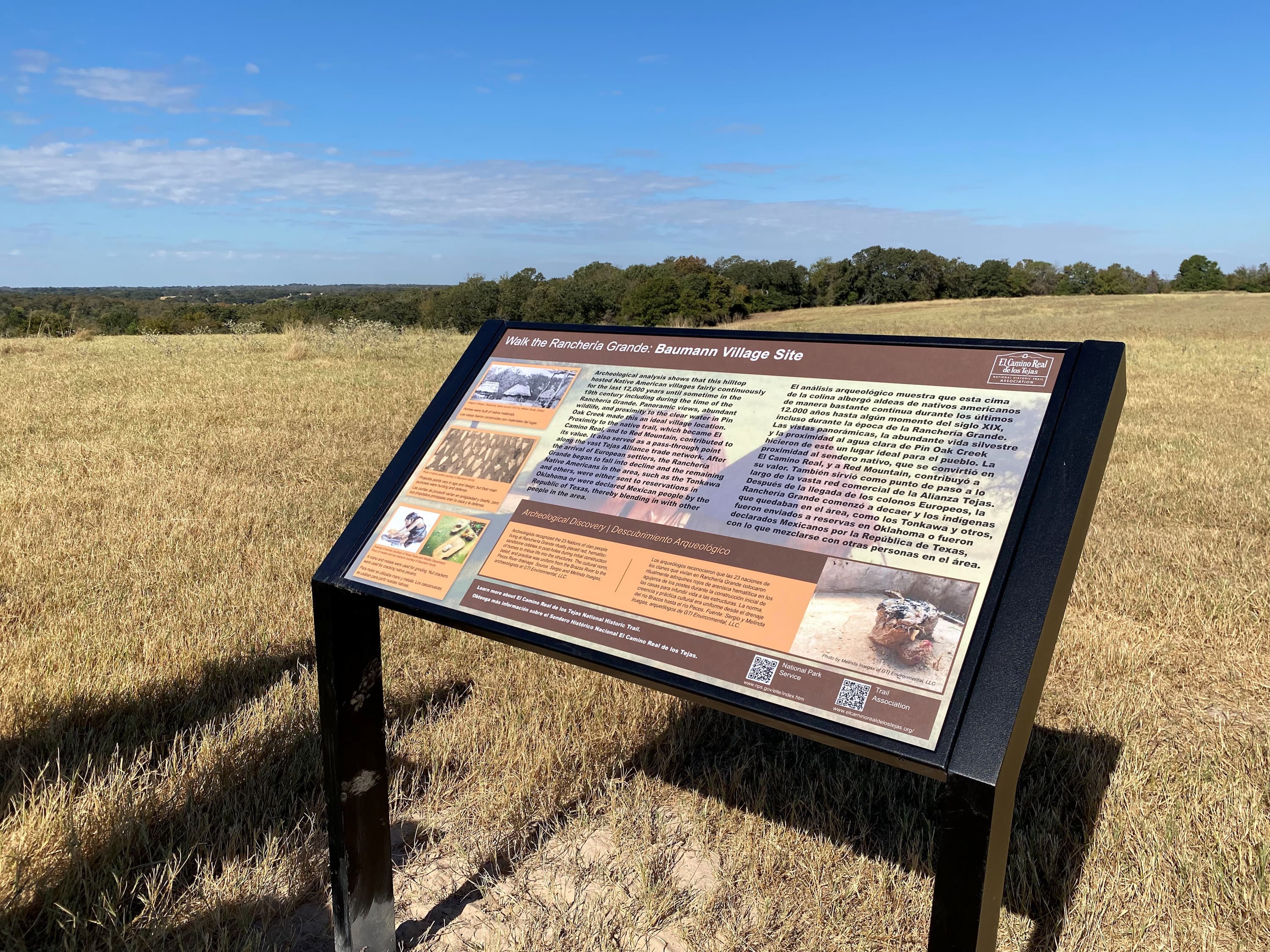
Baumann Family Village Sites - Ranchería Grande
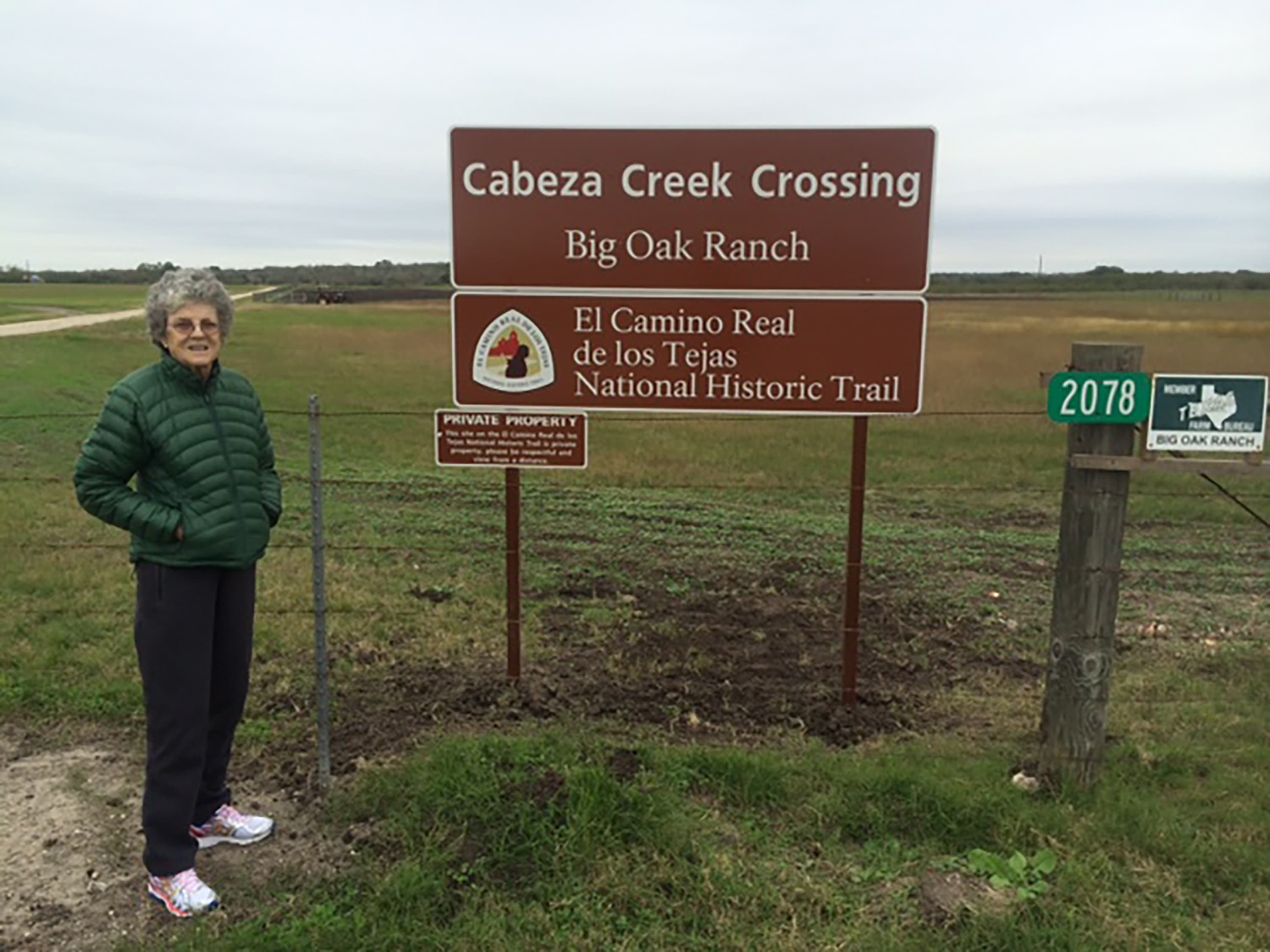
Cabeza Creek Crossing
audio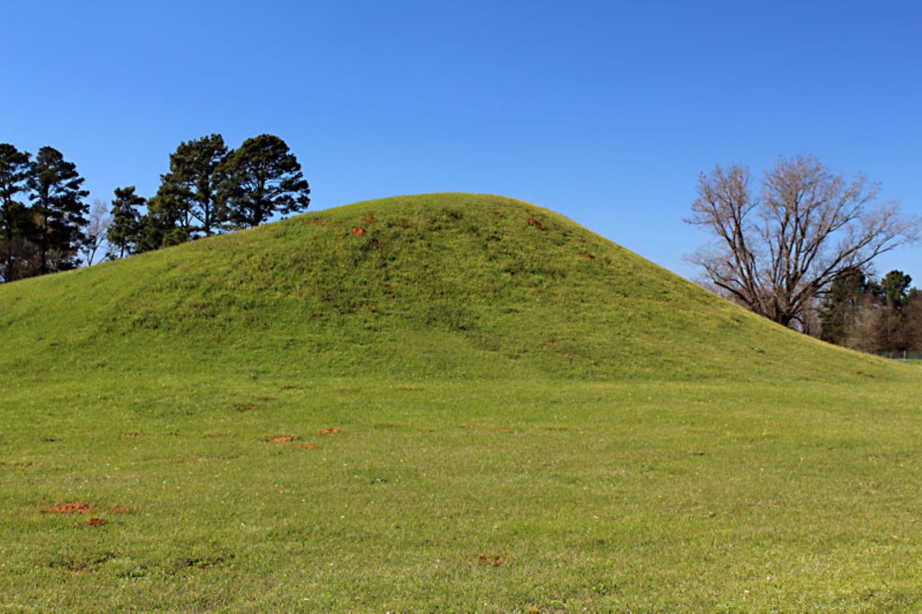
Caddo Mounds State Historic Site
audio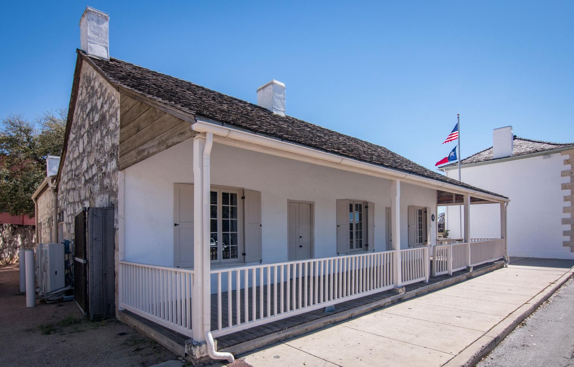
Casa Navarro State Historic Site
audio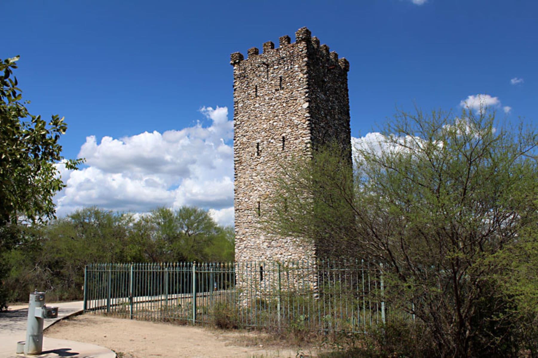
Comanche Lookout
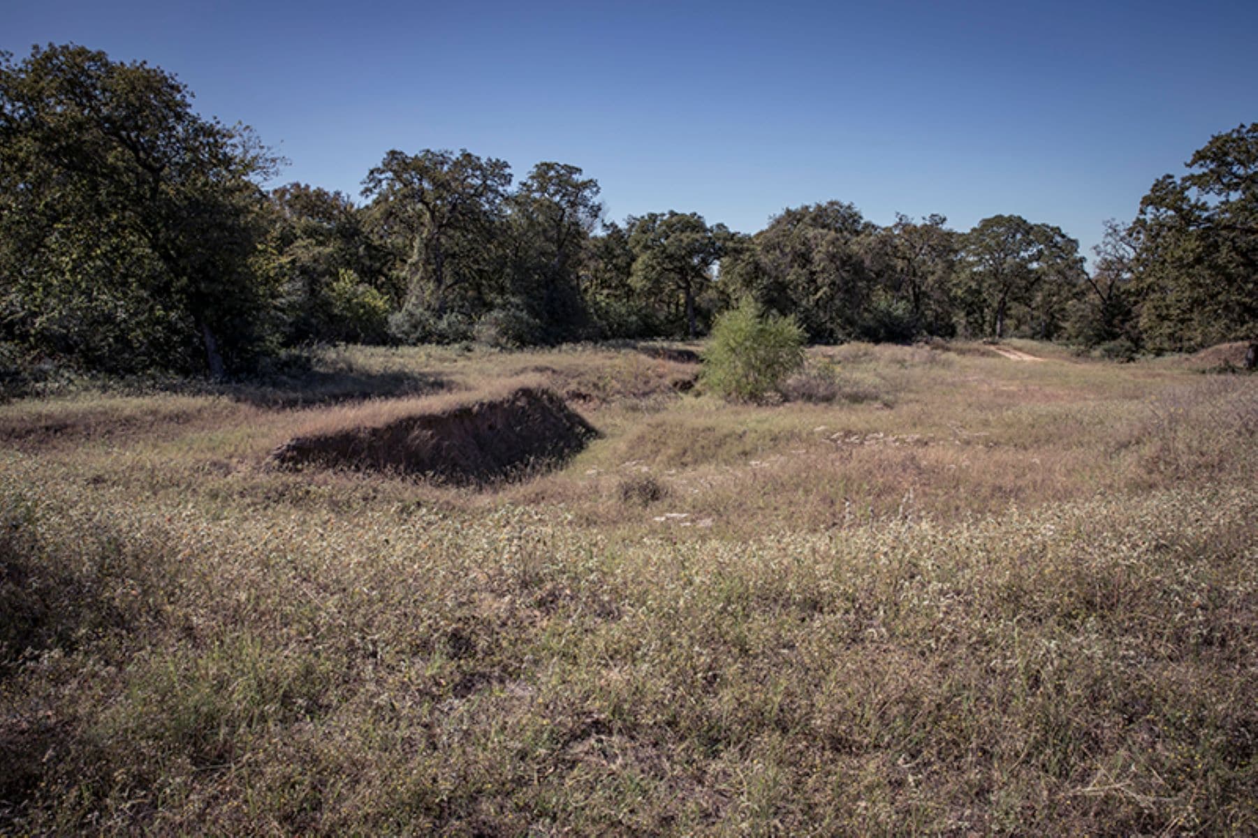
Conner Swale Site - Ranchería Grande
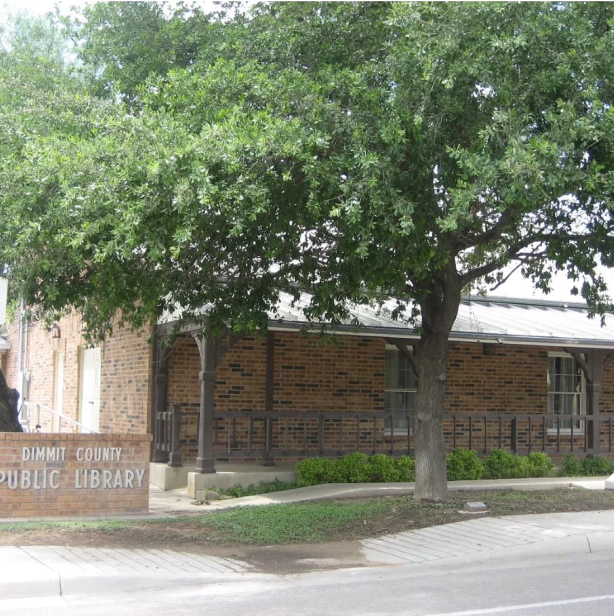
Dimmit County Public Library (and Wade House Museum)
audio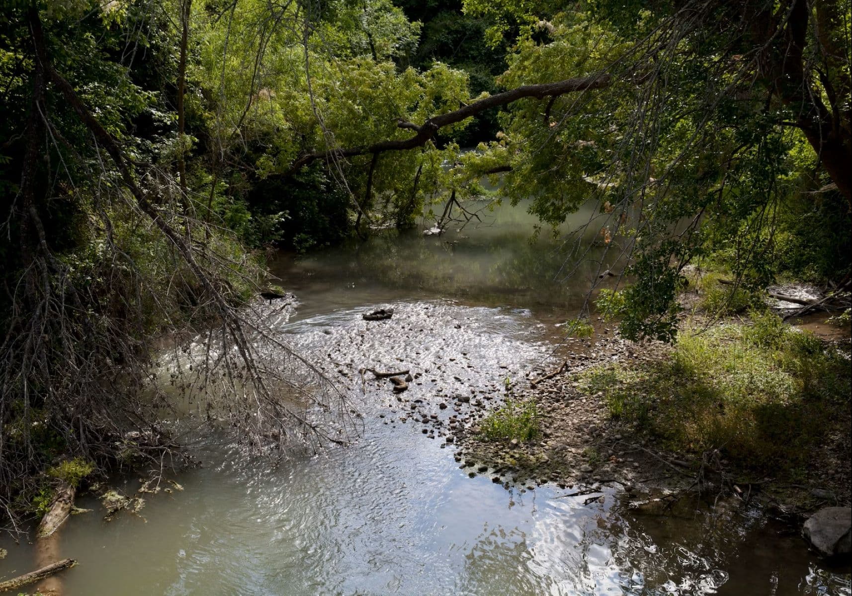
Dolores-Applewhite Crossing
audioAudio & media
🎧
🎬
🖼
Learn more
Learn about the National Historic Trails and earn junior ranger badges! These activities can be completed virtually or after visiting a site along the National Historic Trails. Booklets can be submitted either electronically or by mail. Take a look and start exploring the trails today!
Long before Europeans came to explore Texas, the people now known as Caddo had a well-developed trail system across their territory in East Texas. Major east-west and north-south trails led to and from important mound centers and established communities where significant social, political, and religious rituals and traditions, along with daily domestic activities, occurred.
Over the course of more than 500 years, the Caddo developed powerful political chiefdoms, organized complex ranked societies, erected ceremonial centers and temple mounds, and participated in long-distance exchange networks. At their height, around 1300, they may have numbered more than 200,000 people.
The Caddo people trace their descent through the maternal line. They recognized and ranked clans, with marriage typically occurring between members of different clans. Religious and political authority in historic Caddo communities rested in a hierarchy of key positions shared between the various affiliated communities.
This timeline describes the European influence and interaction with the Caddo people, from the mid-1500's to the mid-1800's. Beginning in the early 1820s, increased Anglo migration into Caddo territory (“land grabs”) impacted the sacred Caddo landscape significantly. Read more about the impacts of the Anglo influence on the Caddo Nation over time.
Located where the southeastern woodlands meet the western prairies, the Caddo produced bountiful crops and were well placed to participate in exchange networks. Key trails fanning out as far afield as Florida; Casas Grandes, Arizona; Cahokia, Illinois; and the Rio Grande pueblos of New Mexico crossed Caddo country, linking the Caddo to distant Indian worlds and positioning them at a crossroads of trade.
Historians often cite the importation of large horse herds as one of the Spanish empire's biggest impacts on the Americas. Ironically, these very herds helped transform Comanches into Spain's most formidable rival.
Ramona Malczynski spent the summer traveling through Northern and Central New Mexico and meeting with many people during her time with the Latino Heritage Internship Program. During summer 2021, she worked as the Latino Historic Trails Partnership Outreach Intern at the National Trails Office of the National Park Service.
Ranger School
Park-grounded courses you can learn with the Ranger.
How El Camino Real de los Tejas National Historic Trail connects
This park's activities, topics, location, and on-the-ground places — one hop in the graph. Drag to explore; click an activity, topic, or related park to follow it.
Park
Activity
Topic
State
PassportStamp
ThingToDo
Similar parks
Share activities & topics with El Camino Real de los Tejas National Historic Trail.